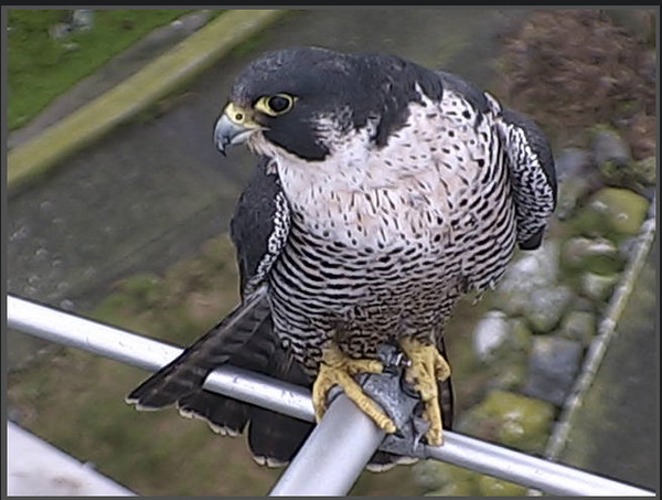
| BACKGROUND: From the file Structure and Function of Ecosystems, we come now to that component which represents part of the Functional Aspects, the Material or Biogeochemical Cycles. In this file we will refer you to some of the cycles which are operating in ecosystems, but there are others of course, wherever minerals or ions that become part of the nutrients for plants are taken up by the plants and thus passed on through the other trophic levels or levels of nourishment. |
| Normally, most texts and many websites have diagrams of the cycles. ( just Google the cycle name) The approach of presenting a completed diagram is rather boring, as it is more interesting to just look around yourself in the ecosystem in which you are living and using other diagrams as models you will easily be able to build up the cycle using local examples yourself. |
| OBJECTIVES: After doing this assignment students will be able to:a) Construct digital image biogeochemical cycles using images of local examples. b) Explain how biogeochemical cycles are impacted by anthropogenic activities. c) Discuss your own responsibilities in terms of biogeochemical cycles. d) Evaluate how you can help in dealing with the problem of sustainability of Materials cycles. |
Many references on the internet give an opportunity to investigate ideas about how humans can be involved responsibly in sustainable cycles. Google “MSustainable Materials management”They deal with the issue that human activities are seriously affecting the materials cycles of the earth. What are examples of this and how can you personally do something about this?
CARBON CYCLE
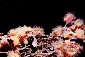
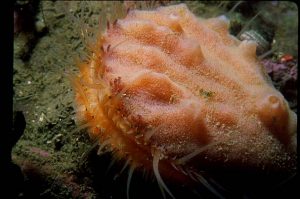
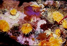 Cup coral |
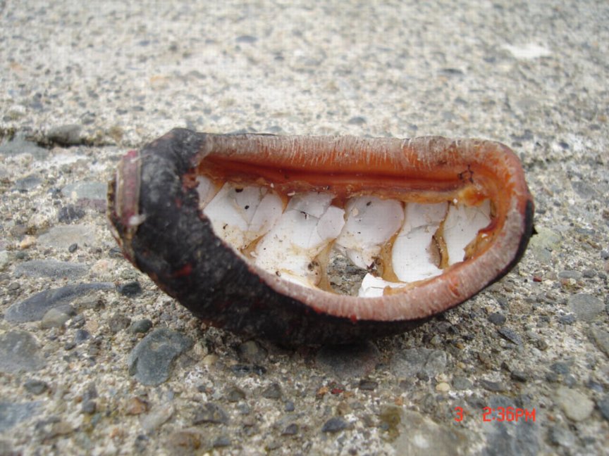
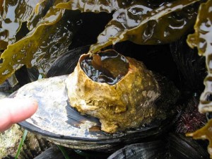
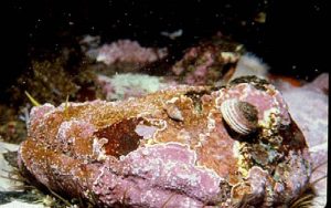
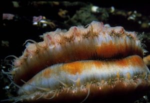
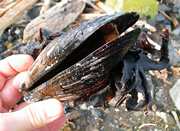 Mussel shell |
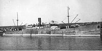
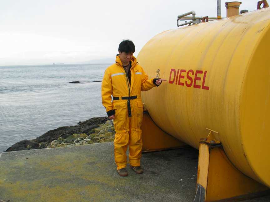 Diesel fuel |
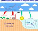 Anthropogenic Carbon |
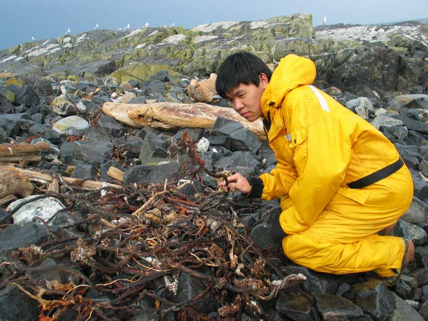 Dead kelp drift on the shore
|
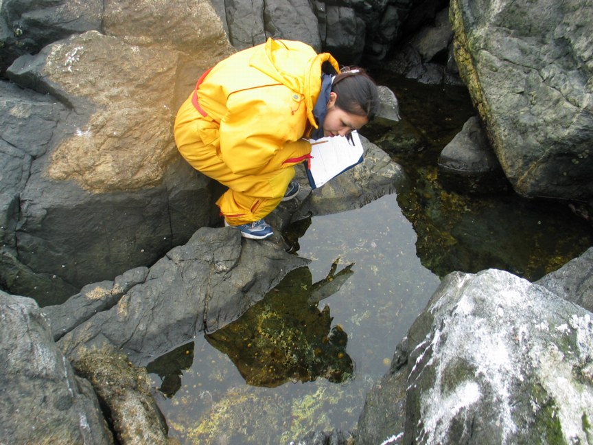
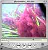
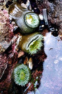
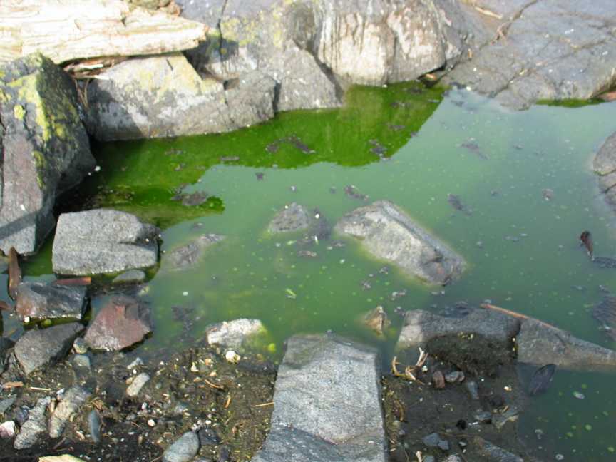 photosynthesis in a tide pool |
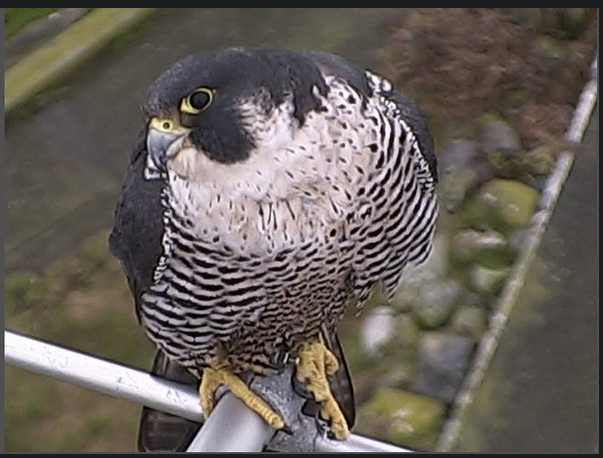
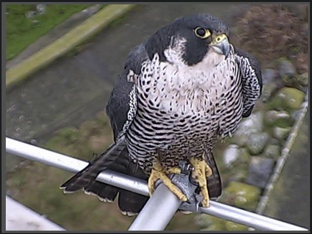
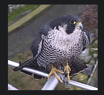
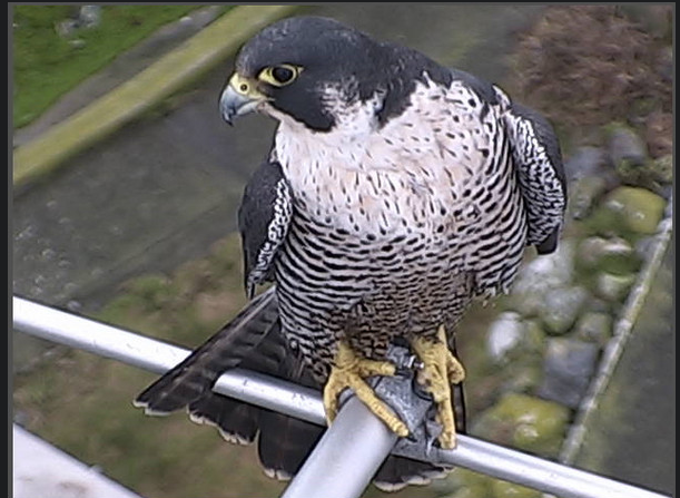
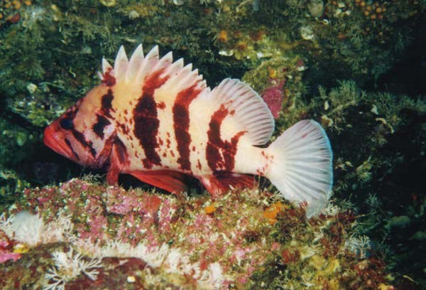 rockfish |
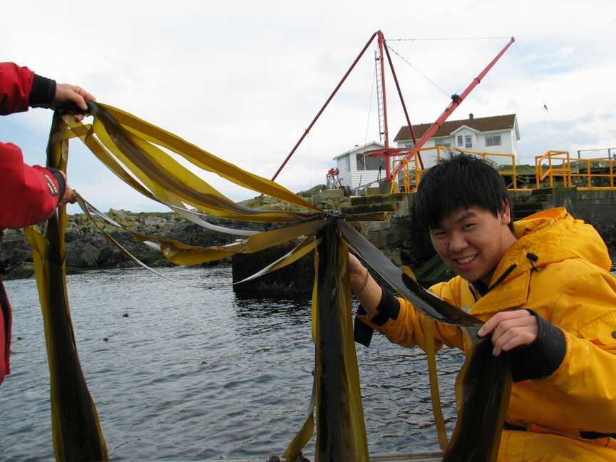 Live bull kelp |
 Anthropogenic Methane |
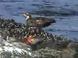
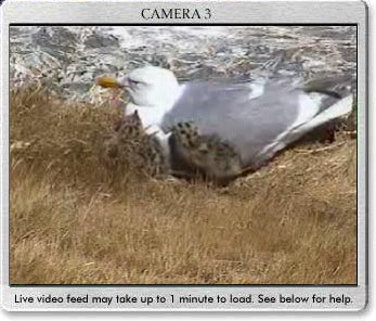
 Dead seal- eaten by eagles and gulls |
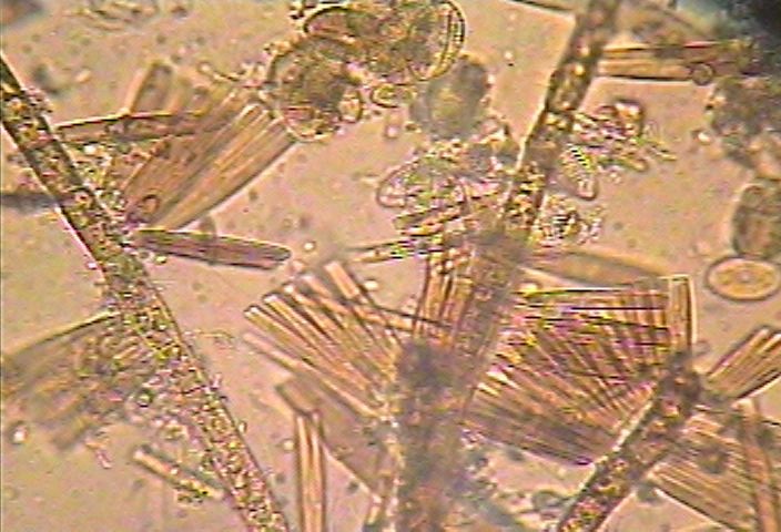 phytoplankton |
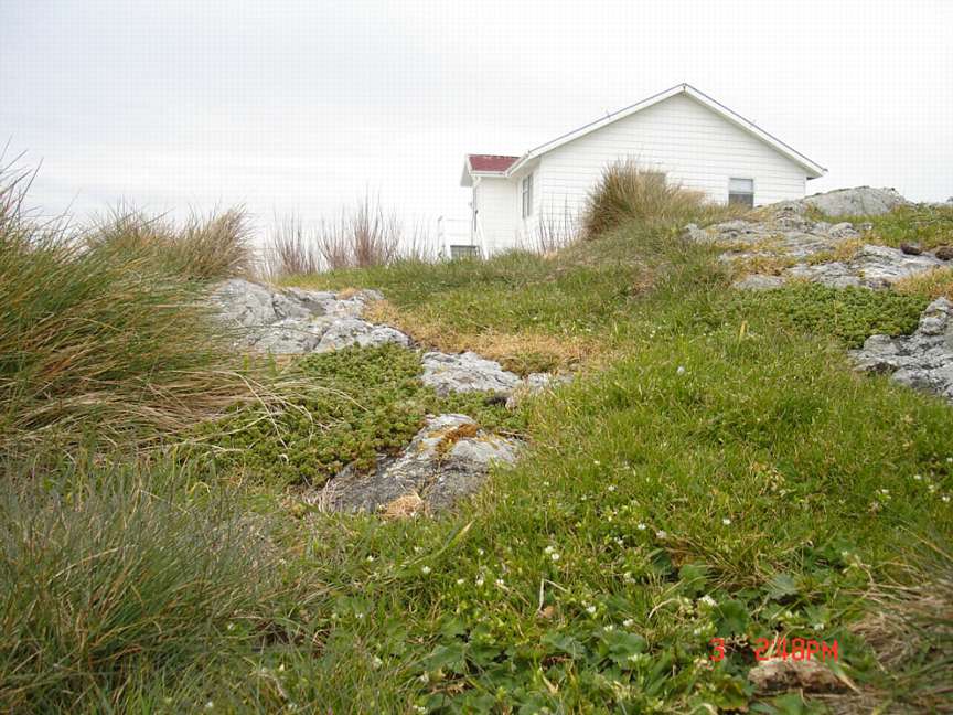
 Native grasses |
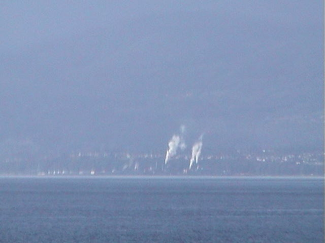 Smoke stacks (pulp mill) across the Strait in Port Angeles |
NITROGEN CYCLE
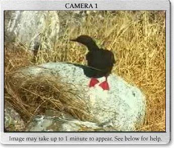
 Eagle feces |
 air |
 lightning strikes |
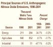 Anthropogenic Nitrous |
 Beach pea–Legume |
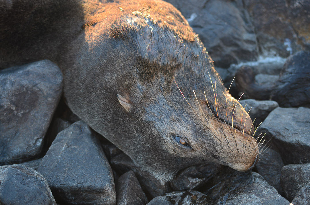
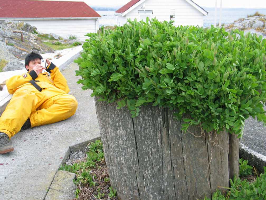
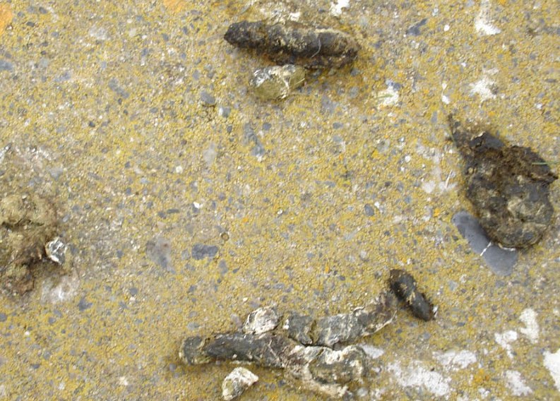
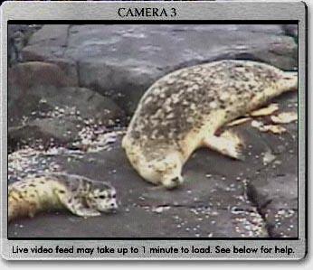
 Elephant seal soil– urine. |
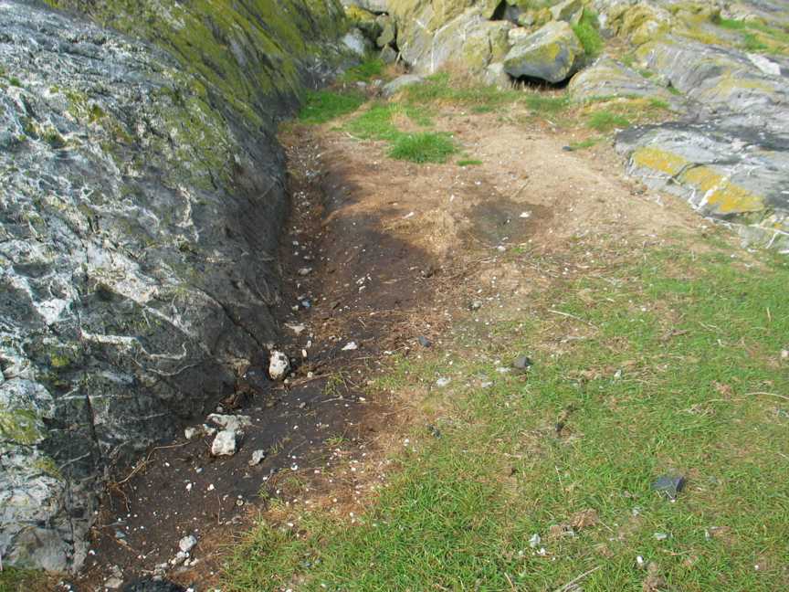
 Elephant seal feces |
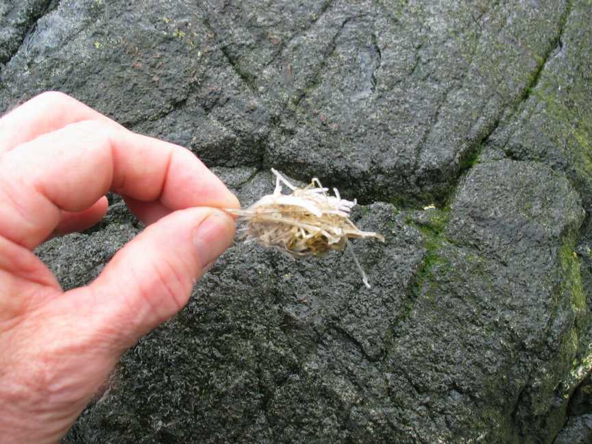
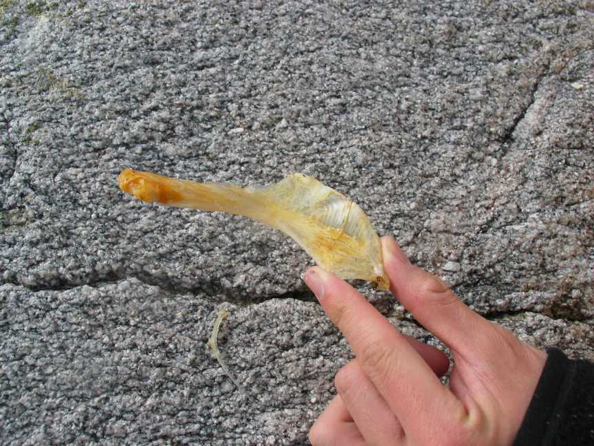 Fish bones |
PHOSPHOROUS CYCLE
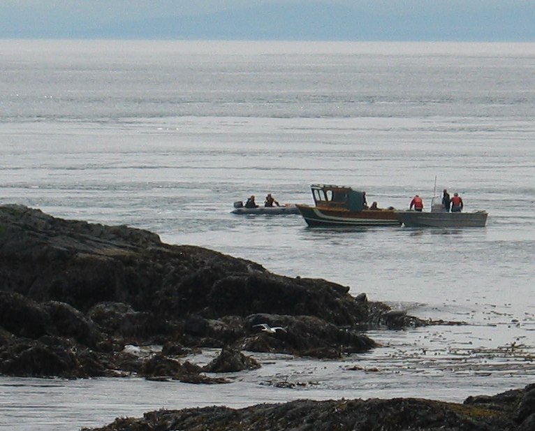
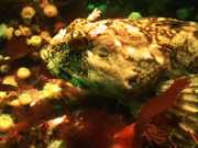 Cabezon fish |
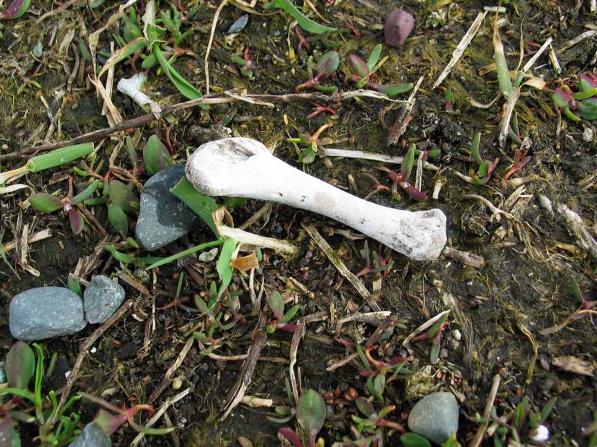 bird bone |
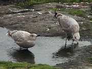
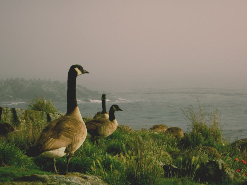 Canada geese |
 goose droppings |
 vegetation |
 phosphorous |
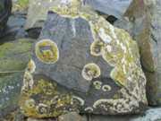 lichen on rock |
 Fish bone |
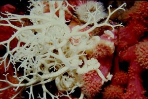
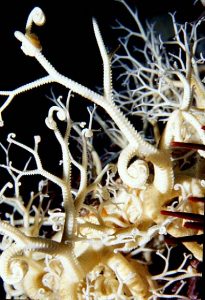
CALCIUM CYCLE
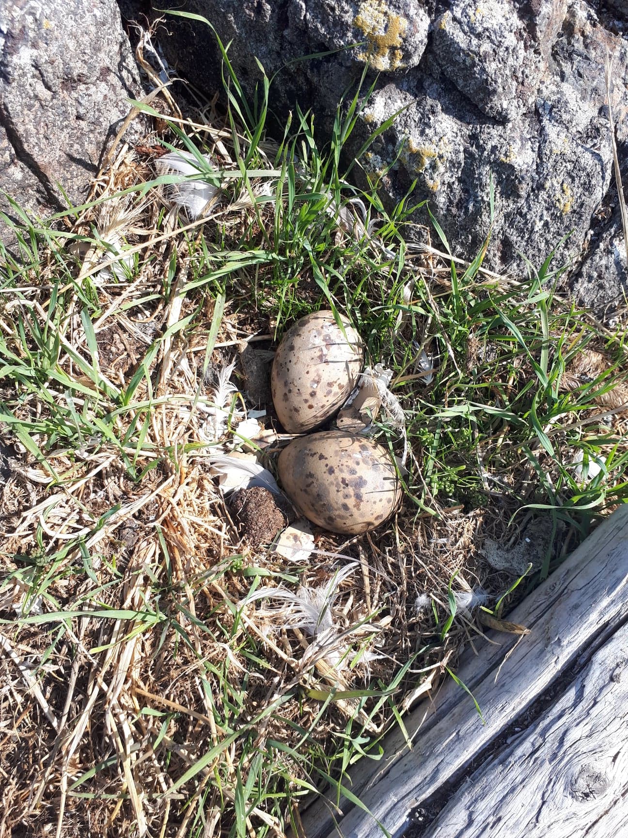 black oystercatcher eggs |
 pouring concrete |
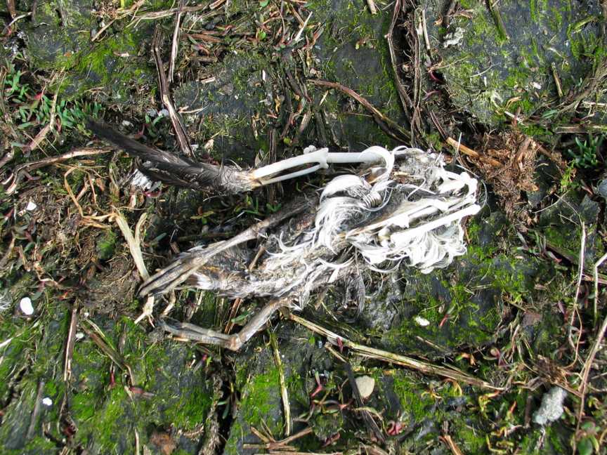 Bird Skeleton |
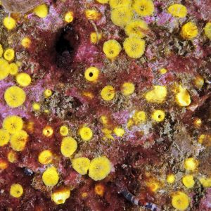
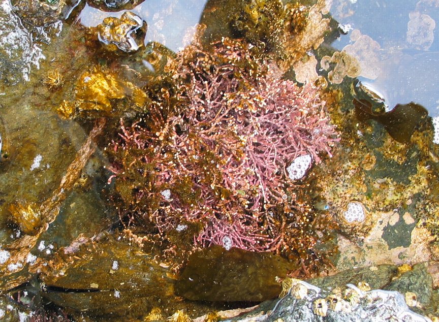 coralline pink algae |
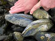 California mussels |
 chiton with calcareous shell plates |
 seawater |
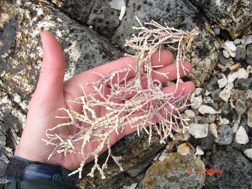 Dead coraline algae |
WATER CYCLE
 water |
 clouds |
 tidepool |
 sun |
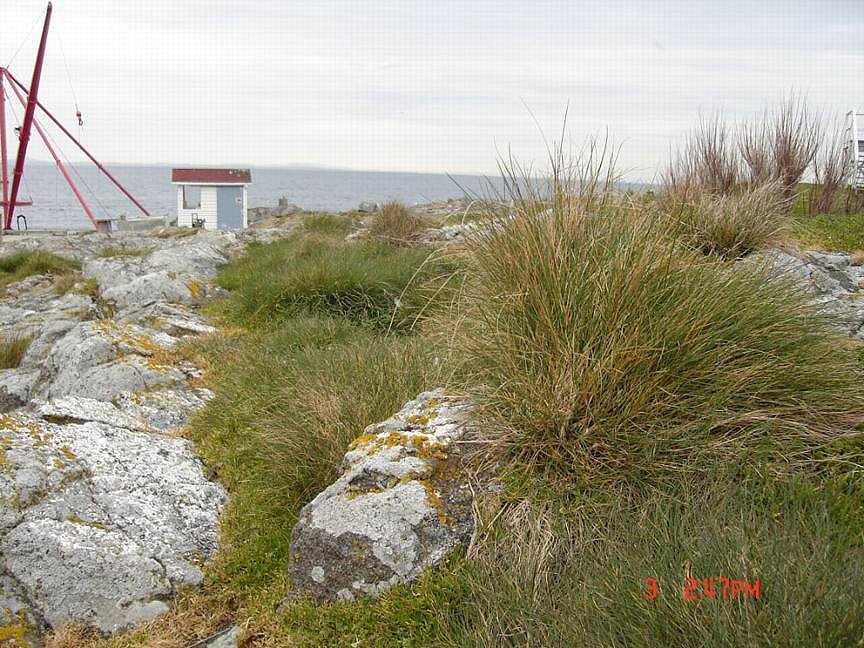 native grasses |
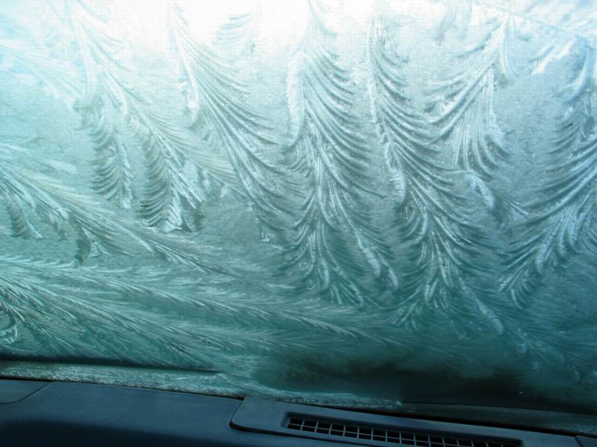 frost |
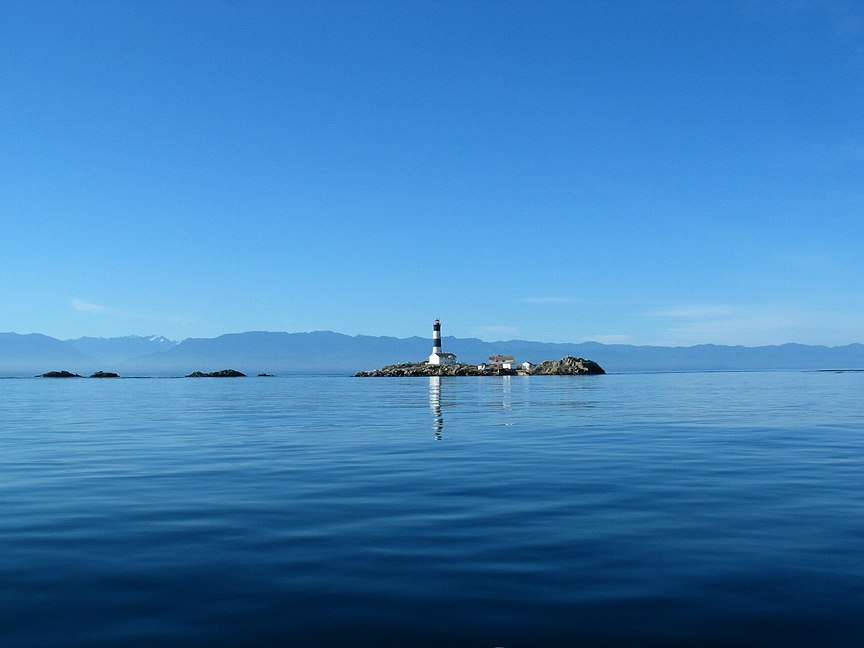 seawater |
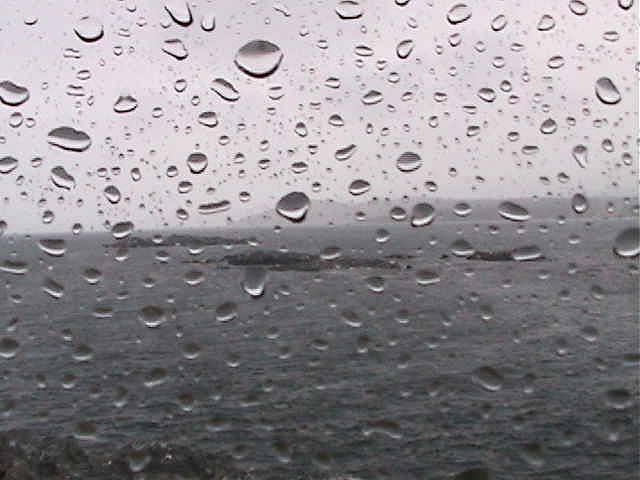 rain |
 snow |
 drinking water |
 fog |
 Oystercatcher bathing |


