‘Morning’, ‘clear’, ‘15.0’, ”, ‘10.0’, ‘N’, ‘rippled’, ‘Garry’,
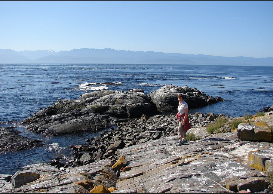
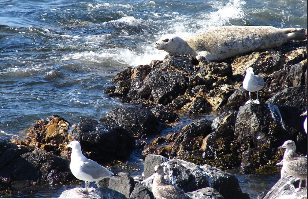
(‘2008-09-23’, 14, ‘Faculty member Judy Ranns was out with her class of Biology students from Pearson College for a tidepool field lab. Garry accompanied. ‘, ‘Garry’, ’18:33:35′),
(‘
‘Morning’, ‘clear’, ‘15.0’, ”, ‘10.0’, ‘N’, ‘rippled’, ‘Garry’,
(‘2008-09-23’, 14, ‘Faculty member Judy Ranns was out with her class of Biology students from Pearson College for a tidepool field lab. Garry accompanied. ‘, ‘Garry’, ’18:33:35′),
(‘
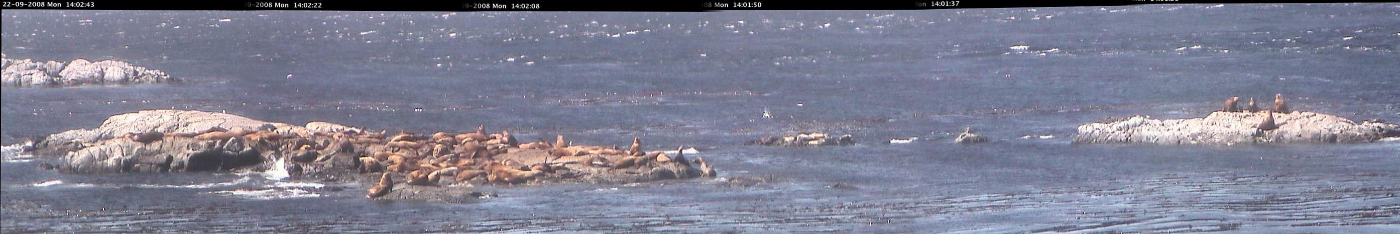
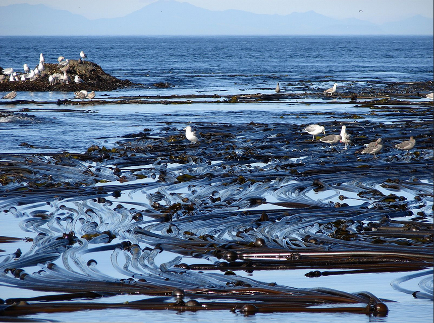
A visual census using the remote camera 5 focused on Middle Island.
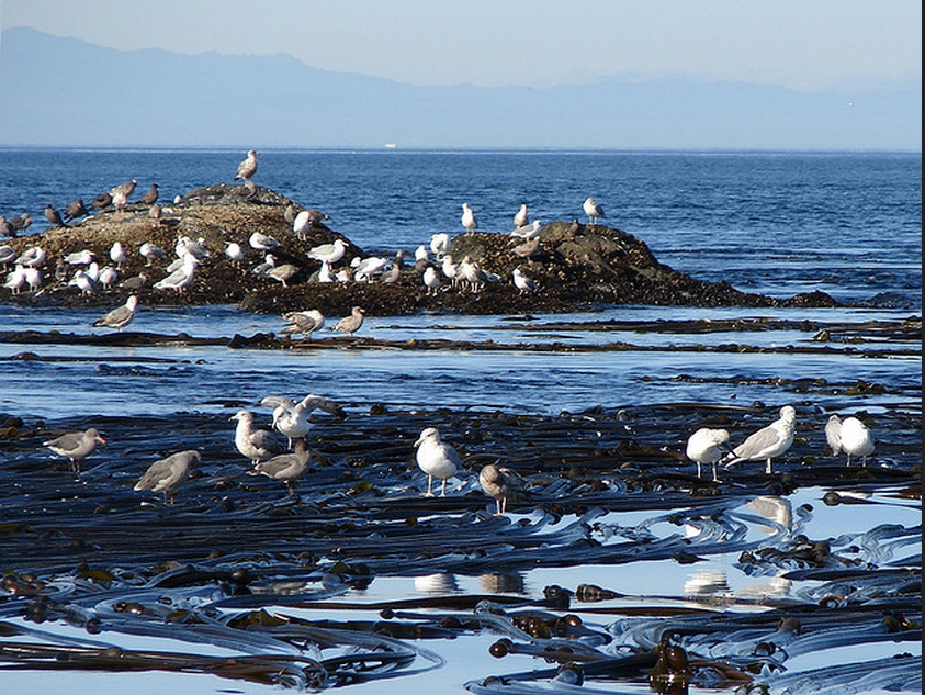
The following panorama was taken of the “middle islands” at Race Rocks from 6 images taken consecutively with a small overlap and then spliced together with a “Photostitch” program which is usually available with the software for an electronic camera.
Educational Application: When we build up a set of these pictures, students can do mathematical projects by going on the camera and getting a live count and then running various statistical comparisons on these archived images. Just click on the image below for a version that is large enough to enable counting and identification.
Click for larger size to count sealions.
In the 10 years since the automation of the light in 1997, the deterioration of the tower at Race Rocks was evident. Finally there was some hope for restoration with the recent passage of Bill S-215
Current Status of the Bill from Parliament Canada Website:
 Statutes of Canada, 2008, An Act to Protect Heritage Lighthouses (PDF FILE)
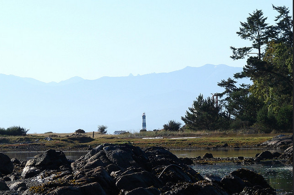
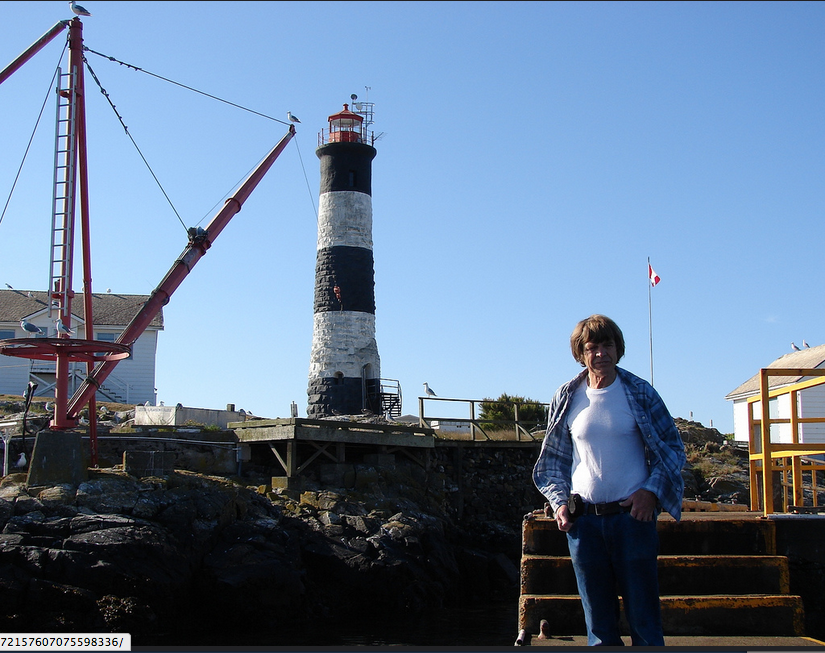
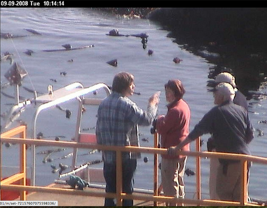
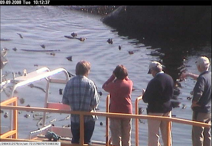
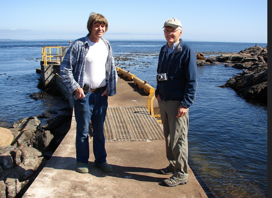
‘Garry took Pam and Dennis Birley out to the Island today. Pam does the monthly photo diary from camera 5 from her home iin Leicester England .


Pam took the following images when she was out on the island and on the boat. See her gallery here.
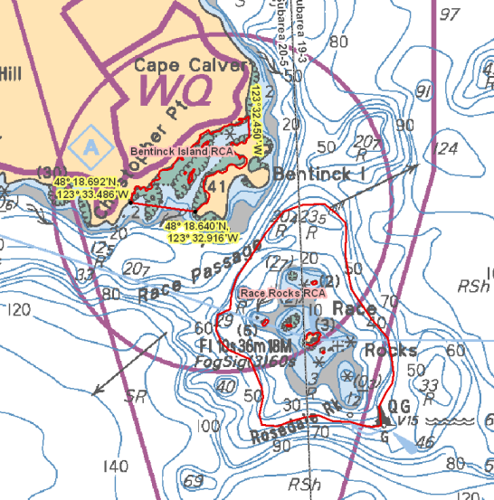
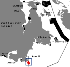 General map of the Southern end of Vancouver Island. Race Rocks and Bentinck Island are in Area 19.
Those waters of Eemdyk Passage in Subarea 20-5 that lie westerly of the meridian passing through 123°32.450’ west longitude and northerly of a line:
| from | 48°18.692’N | 123°33.486’W |
|---|---|---|
| to | 48°18.640’N | 123°32.916’W |
Those waters of Subareas 19-3 and 20-5 that lie inside the 40 metre contour line surrounding Great Race Rock and Rosedale Rock as shown on Chart No. 3461, published by the Canadian Hydrographic Service of the Department.