By Mike Fenger and Garry Fletcher ( Board members of Friends of Ecological Reserves)
Canada has a less than 1% of its marine ecosystems in Marine Protected Areas status and BC has been slower than the Maritime Provinces lagging at less than < 0.5%. Currently there are two off shore seamounts that make up the BC Marine Areas system and these have been established through Department of Fisheries and Oceans (DFO) lead consultation processes. Australia on the other hand is in the enviable position with 16% of their marine ecosystems in protected status. Table 1 shows the different Federal and Provincial Departments/Ministries with a mandate to manage some elements of the marine ecosystems. This Table shows the complexity of overlapping jurisdictions. The different purpose and jurisdictional tools
Formating for this table will be reestablished
Table 1. Federal and Provincial Marine Protected Area Programs (Courtesy of Canadian Parks and Wilderness Society)
_Parks Canada_Department of Fisheries and Oceans_Environment Canada_Ministry of the Environment – BC_Ministry of Agriculture and Lands – BC__Designation
National Marine Conservation Areas
Marine Protected Areas
Marine Wildlife Areas
National Wildlife Areas
Migratory Bird Sanctuaries
Provincial Parks
Provincial Ecological
Reserves
Wildlife Management
Areas
BC Marine Ecological Classification
Examples
Southern Strait of Georgia (proposed)
Gwaii Haanas (proposed)
Endeavour Hydrothermal
Vents
Bowie Seamount
Scott Islands (proposed)
Desolation Sound Marine
Park
Checleset Ecological Reserve
Legislation
National Marine Conservation Areas Act
Oceans Act
Canada Wildlife Act
Migratory Birds Convention Act
Park Act
Ecological Reserve Act
Wildlife Act
Planning tool for coastal planning, coastal management, and marine protected areas candidate identification.
Goal
Protect and conserve marine areas of significance as part of a representative network of protected areas.
Protect and conserve commercial and non-commercial fisheries resources, including endangered or threatened species, areas of high biodiversity or productivity, unique habitats, and marine mammals and their habitats.
Conservation of marine wildlife, with emphasis on marine birds, through the maintenance and restoration of supporting habitats.
Park Act:
Protect representative examples of natural diversity, and special natural, cultural heritage, and recreational features within BC.
Ecological Reserve Act:
Protect viable, representative examples of the natural diversity and exclude harvest of marine resources within the reserve.
Advance efforts to establish Marine Protected Areas.
Objectives
Representation of marine natural regions (physical, biological & cultural)
On-site interpretation
Public education & enjoyment
Sustainable use
Marine resources
Species and habitats
Endangered species/habitats
Unique habitats
Areas of high productivity
Biodiversity
Sustainable use
Wildlife/Migratory birds
Species and habitats
Endangered species/habitats
Productive, unique and sustainable habitats/ecosystems
Biodiversity conservation
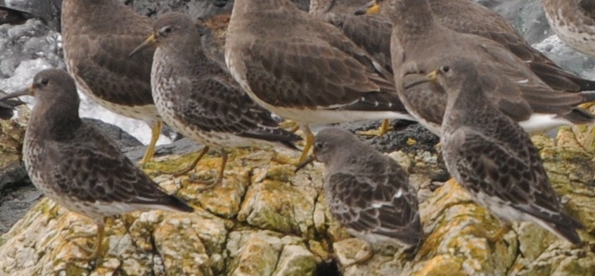
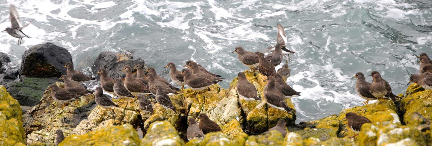
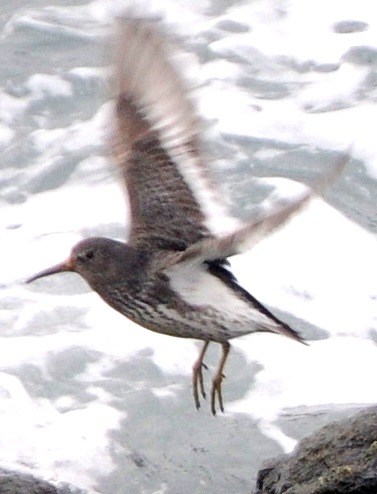
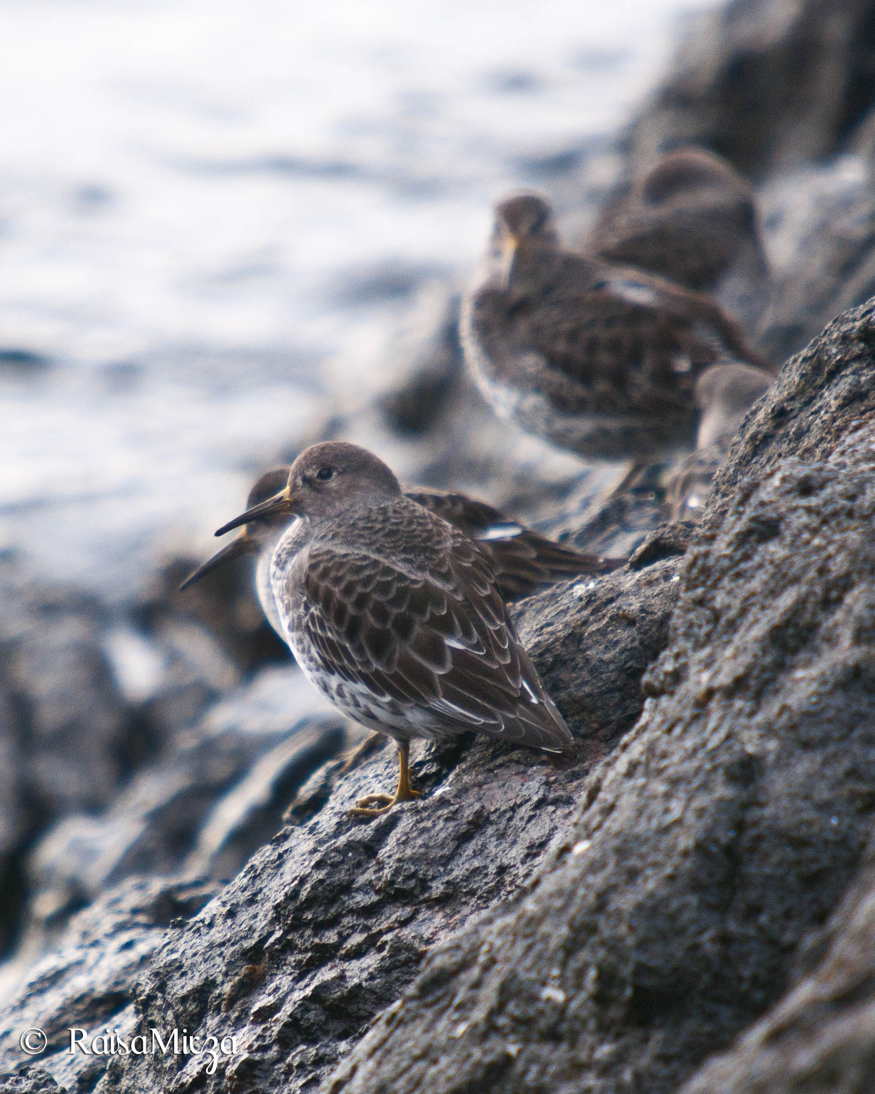
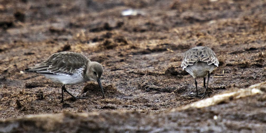
Perhaps in response to a bigger unifying vision the BC Ministry of Environment has recently begun to develop an Ocean’s and Coastal Strategy which in addition to economic benefits also envisages maintaining and improving the health of marine ecosystems through ecosystem based management. This new broader look at marine ecosystems is a welcome addition that can potentially improve the long term viability of the marine based ERs. FER is advocating all marine-based ERs receive a buffer zone so the marine component of the ecosystem adjacent receives equivalent status whenever a marine protected area is declared. Table 2 lists currently established ERs that protect biological features such sea bird colonies and sea mammal breeding areas.
Table 2. Existing ERs to out from for a network of Marine Protected Areas system. Race Rocks (Bolded) is the only ER that is currently under a DFO lead process that may result in a marine protected area.
Annie Vallee (Triangle Island)
Balingall Islets
Baeria Rocks
Beresford
Brackman Island
Byers/Conroy/Harvey/Sinnett Islands Checleset Bay
Cleland Island
Canoe Islets
Dewdney and Glide Islands
East Redonda
Francis Point
Lasqueti Island
Lepas Bay Moore/McKenney/Whitmore Islands
Mount Maxwell
Mount Tuan
Robson Bight (Michael Biggs)
Pine/storm and Tree Islands (Duke of Edinburgh)
Klashkish River
Megin River
Oak Bay Islands
Race Rocks
Rose Islets
Rose Spit
Sartine
Solander
San Juan River Estuary
Satellite Channel
Ten Mile Point
Trial Island
Tashish River
Vladimir J. Krajina (Port Channel)
For locations of these ER access Existing ERs see the Ministry of Environment link for purpose statements
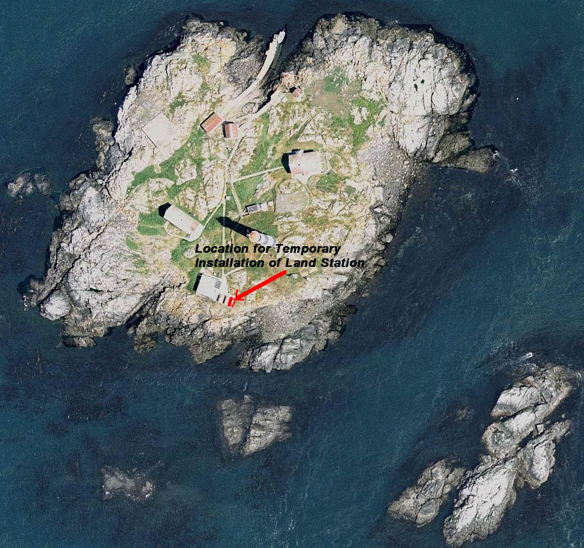
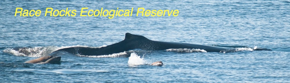
The Race Rocks Consultation process. FER is one of “stakeholders” participating in the four advisory group meetings scheduled for completion by spring of 2010. Garry Fletcher has a long involvement as the warden for this ER. I am a relative new comer to the 10 year consultation process and my input has mainly been to clarify what the Federal approach is to a system of protected areas. Other stakeholders associations represent, sports fishing interests, scuba divers, whale watching tour operators, marina operators, for example. The details of the meetings and advisory group are available at the Race Rocks Advisory Board site maintained by Pearson College. Absent from this advisory group meetings are First Nations though there is a first nations consultant present at the meetings. DFO is holding separate consultation with First Nations.
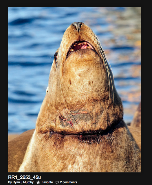
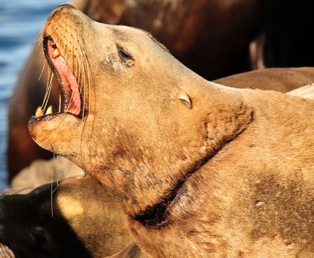
Race Rocks ER has a long association with Pearson College which has maintained infra structure on the island allowing this ER to function as an outdoor laboratory. As a result of this 30 year association Race Rocks has a level of monitoring and study which is unparalleled in other ERs. The accessibility of the research and monitoring is phenomenal and a visit to the award winning Race Rocks web site is all that is needed to illustrate the how information for Race Rocks ER is available.
As the Race Rocks ER warden Garry shared the following insights. It has been 10 years since the final ratification of Race Rocks as a Marine Protected Area ground to a halt. There is now a renewed urgency on the part of DFO to complete the designation process by next year. The Oceans Act of 1997 lays out very clearly the intent to protect complete marine ecosystems with the organisms and their habitat, however the new round of advisory meetings is concerned with only the designation of the water column of the existing Rockfish Protection area ( down to 40 metres). This does nothing to solve jurisdictional problems in managing the ecological reserve, and it does not bring together the role of Canadian Wildlife Service in the protection of Seabirds , the department of transport in the protection of the airspace above marine mammal haulouts and leaves those haulouts as well a responsibility of BC Parks for the 9 islets of the Race Rocks Archipelago.. First Nations still do have access, (as they always have from the Douglas Treaties,) to the living resources of the area, that arrangement trumped only by proven conservation needs.
Lester Pearson College through a long term lease from BC Parks has funded the management of the reserve for the past 10 years, something that is not sustainable in the long term without assistance from government. So far there is no firm indication that there will be any support for the support of on-site management. So what changes? We are beginning to wonder if the costs to establish this MPA have really been worth it.
Although federally established MPAs on the East Coast, (example Musquash in New Brunswick) involved a transfer of the provincial seabed to the federal government, the west coast provides a different scenario. The provincial government has made it clear that they will not allow any ceding of ownership of any seabed. (This policy is also what currently what is holding up the finalization of the Gulf Islands Marine Park as well.)
Some of the information in the article was distributed to the Advisory Group members and attached to minutes of the first meeting. It was not clear that all advisory group members are familiar with ERs and the importance of protection of representative and unique ecosystems of British Columbia. It is also unclear whether the importance to a system of natural benchmarks, research areas, educational resources and repositories of genetic materials and geologic features recognized by participants as critical to sustainability of marine systems.
The Ecological Reserve system – in concert with other elements of British Columbia’s protected areas system and resource management regime – supports protection, study and understanding of ecosystems – their resiliency, ecological processes and natural elements.
FER expectations raised at the October Advisory Group meeting for Race Rocks were.
• The Boundaries of a MPA need to be based on best available information and make ecological sense in the long term.
• There will be a system of protected marine areas.
• The location of the MPAs in addition to Race Rocks will strongly guided by conservation biology and best available science.
• MPA will be supported in legislation with objectives for MPAs similar to provincial legislation and include:
1. areas suitable for scientific research and educational purposes associated with studies in productivity and other aspects of the natural environment;
2. areas that are representative examples of natural ecosystems in British Columbia;
3. areas that serve as examples of ecosystems that have been modified by human beings and offer an opportunity to study the recovery of the natural ecosystem from modification;
4. areas where rare or endangered native plants and animals in their natural habitat may be preserved;
5. Areas that contain unique and rare examples of botanical, zoological or geological phenomena.
• Entry to reserves will be through permitting.
• There will be a commitment for effective enforcement.
• MPA will act a research benchmarks and monitoring sites for Federal and Provincial agencies to promote sustainable use of natural resources.
• Existing ERs and Terrestrial Protected Areas with a marine component will be reviewed as a starting point for a comprehensive network MPAs.
Additional observations
There is a no “target for a west coast or national system of MPA. Since there is less than 0.5% in BC it is unclear what the Federal government believes is necessary to safe guard the nationally managed marine resources and what is the time frame needed to build the a credible network of MPAs? Those managing the Race Rocks process were not able to refer to higher longer term direction. This leads to the conclusion that there appears to be no commitment or leadership towards more than one off MPAs at this point in time.
Clarification or development of the Federal and Provincial agencies of a common vision and a coordinated coast wide process leading to a scientifically based MPA is unclear.
The willingness of stakeholders and management agencies to embrace MPAs as a safety net for resource management and sustainability is unclear and it is not widely accepted as fundamental missing piece of resource management.
The integration of FNs is another layer of complexity and close linkages of FN cultures to the marine system indisputable. Since all marine ecosystems have been traditionally accessible to exploitation this adds an additional challenge. The willingness to forgo a previous access will depend on the clarification of benefits to the greater good over the longer term both to FN and other interests. Since we are not privy to the MOU between DFO and FN we do not know what is being discussed. There is not a great deal of confidence that the benefits of treating Race Rocks as no-take zone will be conveyed in this forum as it is unclear whether this even supported by DFO as part of a management tool for responsible sustainable marine ecosystem management as this has never been part of the DFO management paradigm and has no precedent in the historic DFO approach and consequently there is no research showing the benefits. Some references on the benefits have been amalgamated on the Race Rocks website.
http://www.env.gov.bc.ca/bcparks/eco_reserve/ecoresrv/ecoresrv.html
http://www.racerocks.com/racerock/admin/rrab/rrab.htm
https://racerocks.ca/racerock/rrab2/mpabenefit.htm
PAGE 5
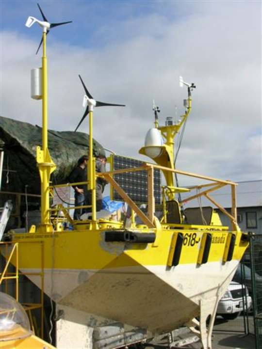
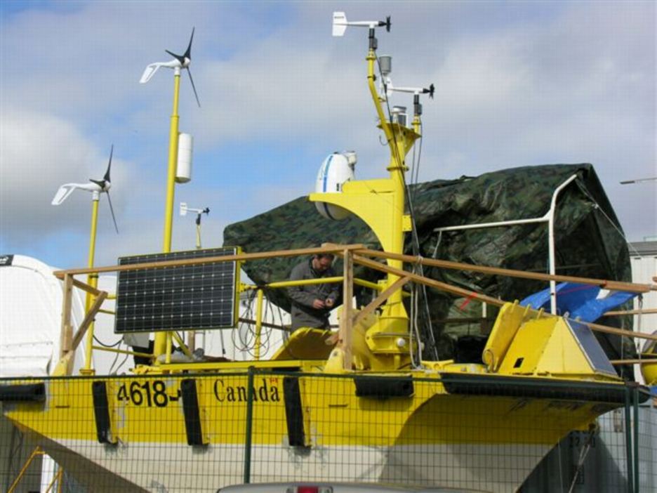
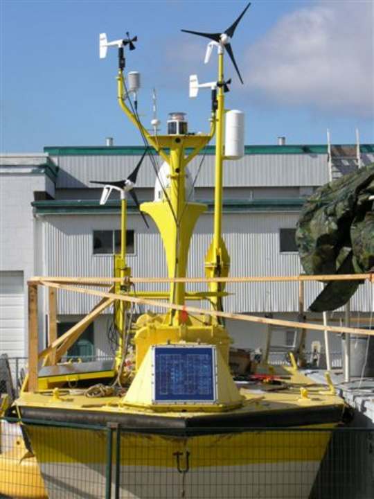
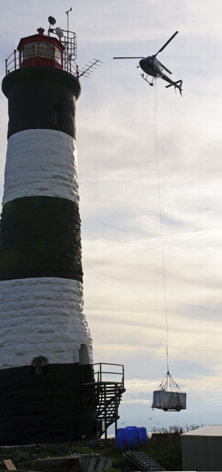
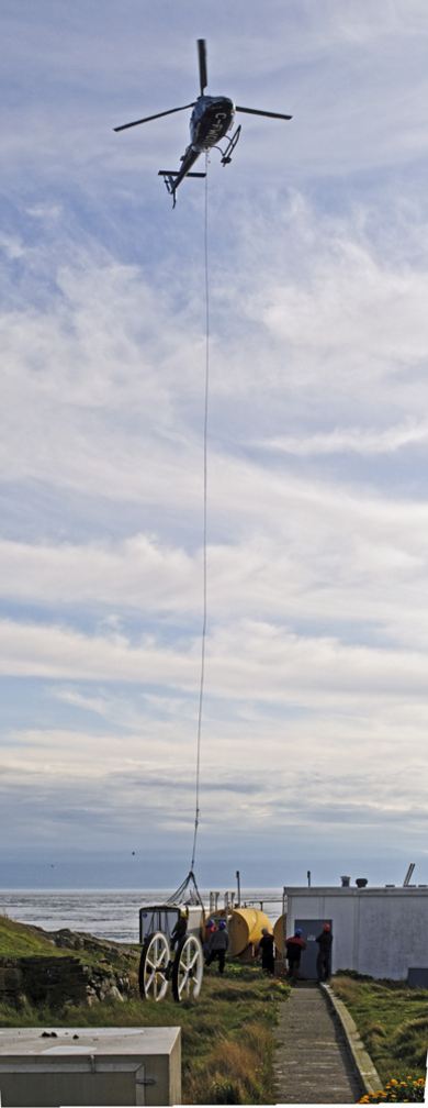
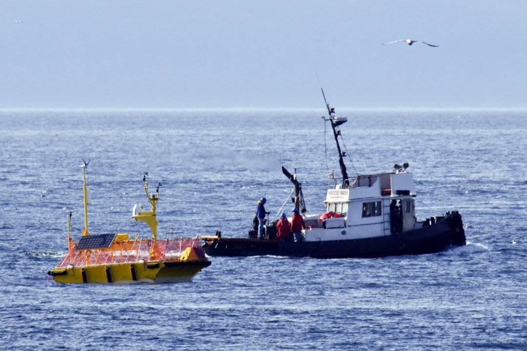
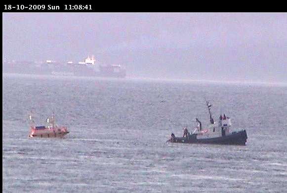
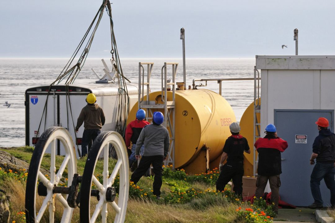
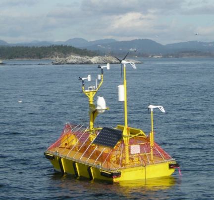
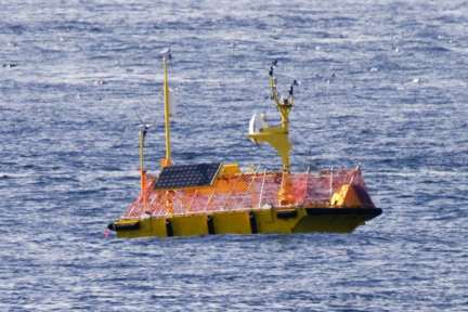 In October, 2009, Lester Pearson College had an opportunity to participate in an offshore wind assessment test by AXYS Technologies Inc. in the Strait of Juan de Fuca .See video of test in Juan de Fuca off Race Rocks