Links to posts with the tag “maps”
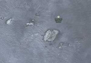
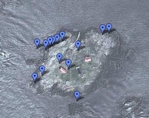
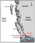
A Google map of the geographic features of Race Rocks
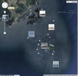
Link to Panoramio: photos added by the public on Race Rocks
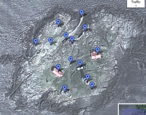
A Google map of the location of the facilities on Great Race Island.
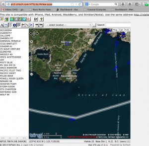
This link shows what ships are currently passing by Race Rocks, so If you see them on the remote camera, you can identify them. See the enlargement of the image at left to get the lat/longs of the Race Rocks area
http://ais3.siitech.com/VTSLite/AView.aspx
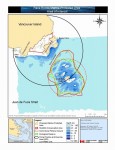
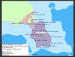
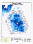
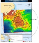
- The September 2000 MPA maps as submitted in the Proposal to Designate the Area as a Marine Protected Area.
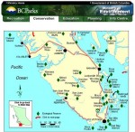
- Outside Link to the location of Ecological Reserves in Southern Vancouver Island, BC
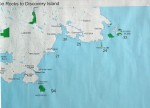
- Protected Areas Southern Vancouver Island – Race Rocks to Discovery Island
- Sooke to Pedder Bay
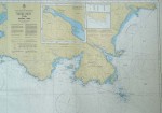
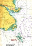
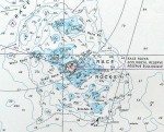
- 1980 Chart Version of the Eco. Reserve at Race Rocks Note: The dark red arrow points to the ecological reserve boundary at the 36.6 metres (20 fathom) contour, as it was designated in 1980 (220 hectares.) The central island of Great Race Rock was not included in the ecological reserve but has since been added to the previous designated area.
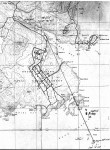
- Topographic map Pedder Bay. The diagonal line represents the path for the microwave beam with the internet signal.
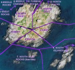
- Sectors of Great Race Rocks.
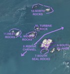
- Islands of the Ecological Reserve
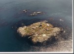
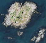
- Aerial photo of Race Rocks looking south
- Original ER boundary on BC PArks folder
- Proposed boundaries of MPA
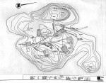
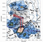
- Topographic Survey 1996
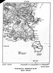
- Map and ER#97 entry in Guide to ERs in BC published in 1992- This shows the generalized borders of the Ecological Reserve at Race Rocks.
- Detail of the Ecoreserve
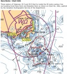
- Rock Fish Conservation Areas – DFO Draft Aug 2003
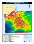
- Rockfish Conservation area to 40 metre contour line .
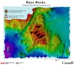
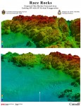
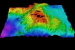
- In this view, the black area is either where land is located, or it represents the margins of the survey . Bentick Island appears at the top of the picture. Great Race Rocks, where the light station is located is the large island in the center of the picture. Shoreline margins are not yet accurate. The present boundaries of the Ecological reserve are more or less the outer limits of the red area at 36 meters.
- three dimensional views looking toward Race Rocks from the North West underwater direction.
- view from the South looking Northward. Colors toward the blue scale are representing depths of almost 100 meters. ( 3d capture of entire area from south : 1x magnification -3 x vertical exaggeration)
- Draft version #1 produced in 2000 by the Department of Fisheries and Oceans for the Race Rocks Advisory Board, for discussion at the Pilot phase Workshops and Meetings with stakeholders. Jan. 2000
- Boundaries of original reserve and boundary modified for MPA
- Suggestions for possible buffer zones
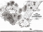
- The earliest map we have showing Race Rocks :1880
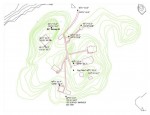
- Proposed area of laying cable to the Tidal Current Energy site.
- Survey plan of District lot 151, Metchosin District
- Co-ordinates on the island
- Map of Cable Laying on the Island for the tidal current energy project.
- Aerial view of the island, ca 2004
- 40 inch image of Race Passage and RR from aerial photo 2005.
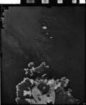
- Air Photo BC7765 No 160
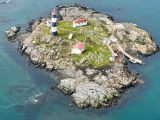
- This photo of a bird’s-eye view of the island was taken by Nick Townley on March 25, 2022, when he flew over Race Rocks in a Coast Guard helicopter on a return trip from a relief lightkeeper shift up the coast at Pachena Point. Derek, the Ecoguardian, and Greg, the Seafront Coordinator, are on the jetty with the boat Second Nature.
- This photo was taken by Nick Townley from a Coast Guard helicopter on March 25, 2022. All the islands of Race Rocks can be seen looking from the west. From left to right the island are: West Rocks, North Rocks, Turbine Rock, Middle Rocks, Great Race Rocks, South Seal Rocks, and South Islands.
