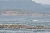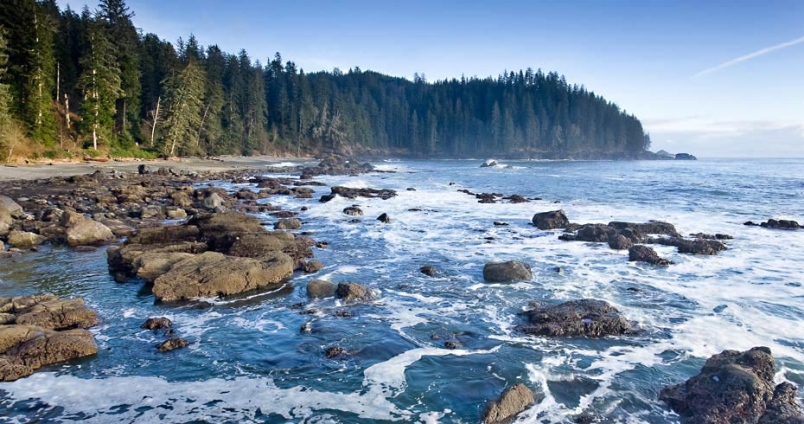
Weather:
- Clear Skies
- 15mi visibility
- 10kn NE wind
- Calm water
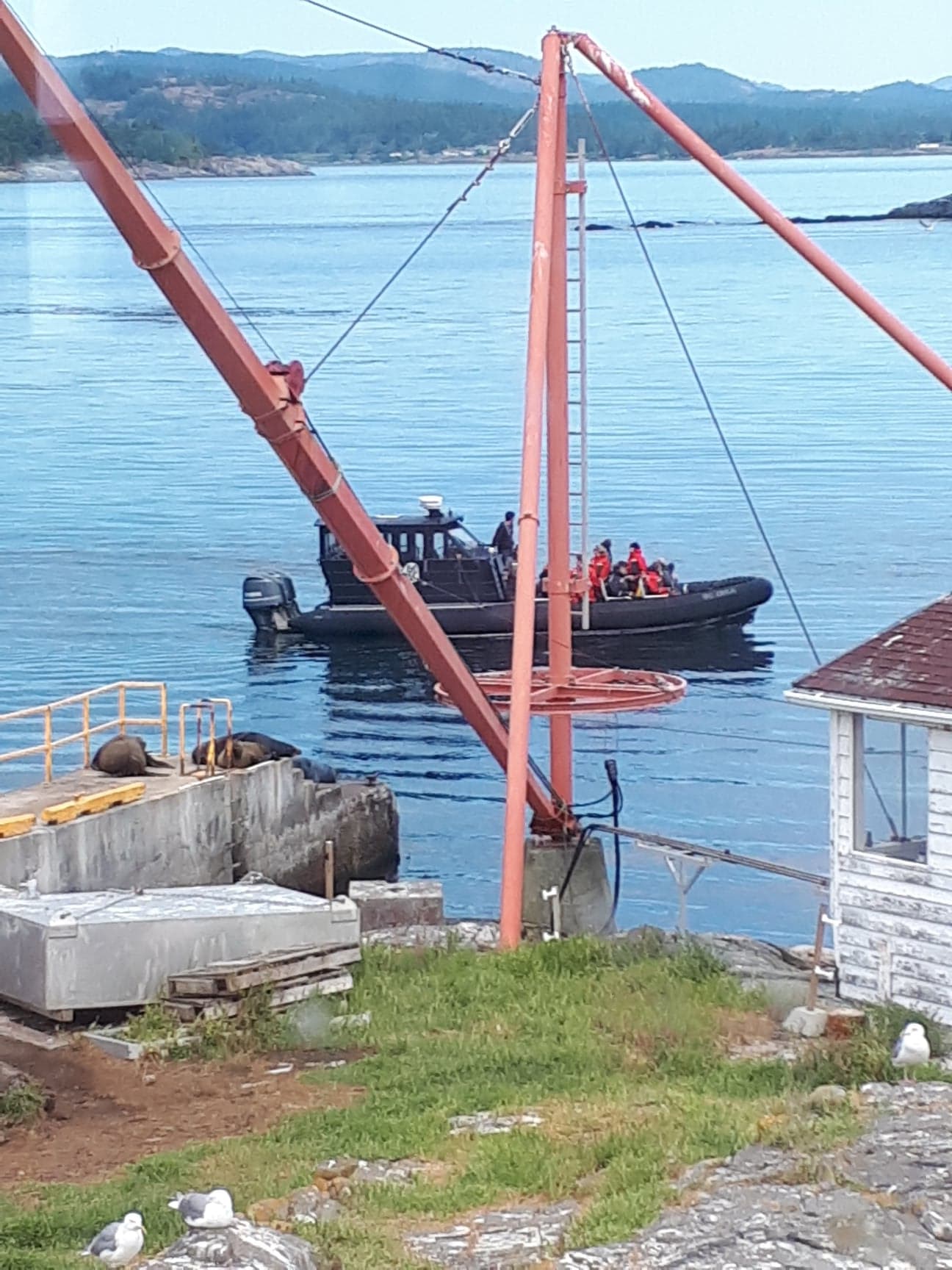
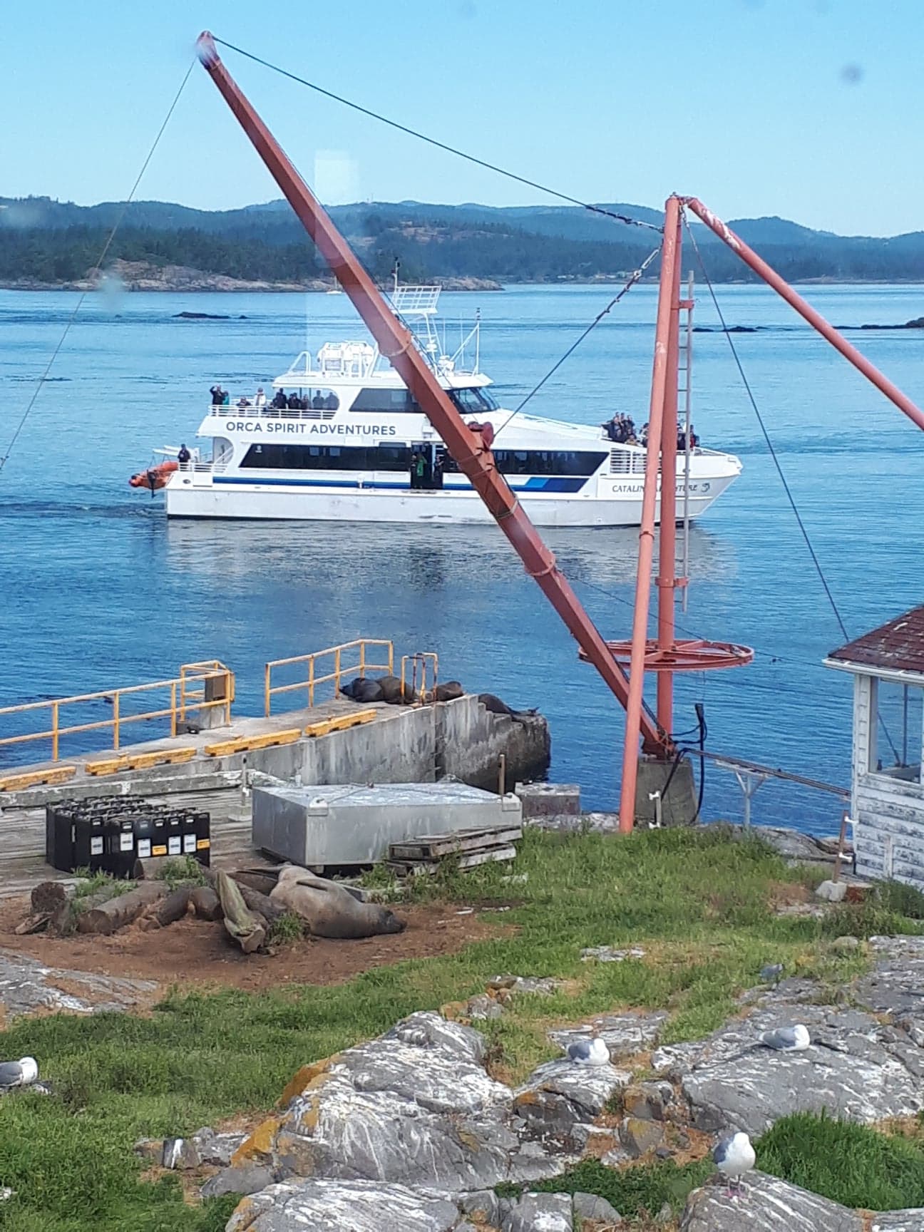
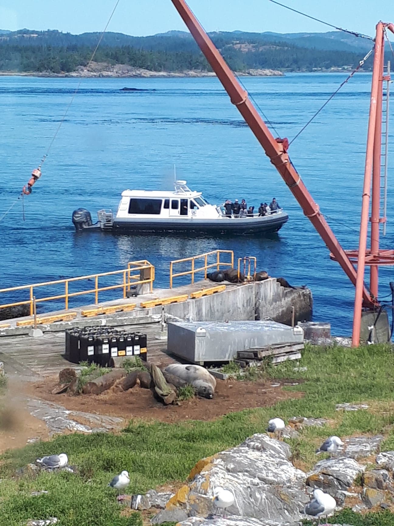
Boats/Visitors:
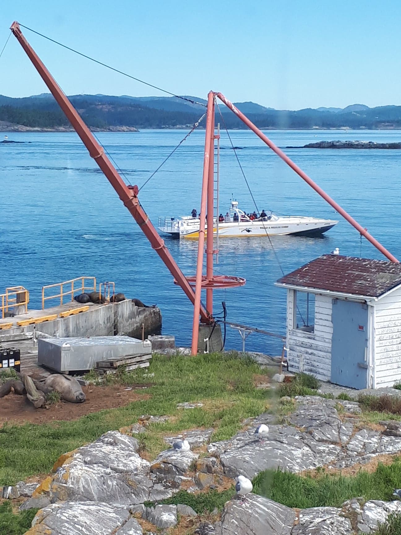
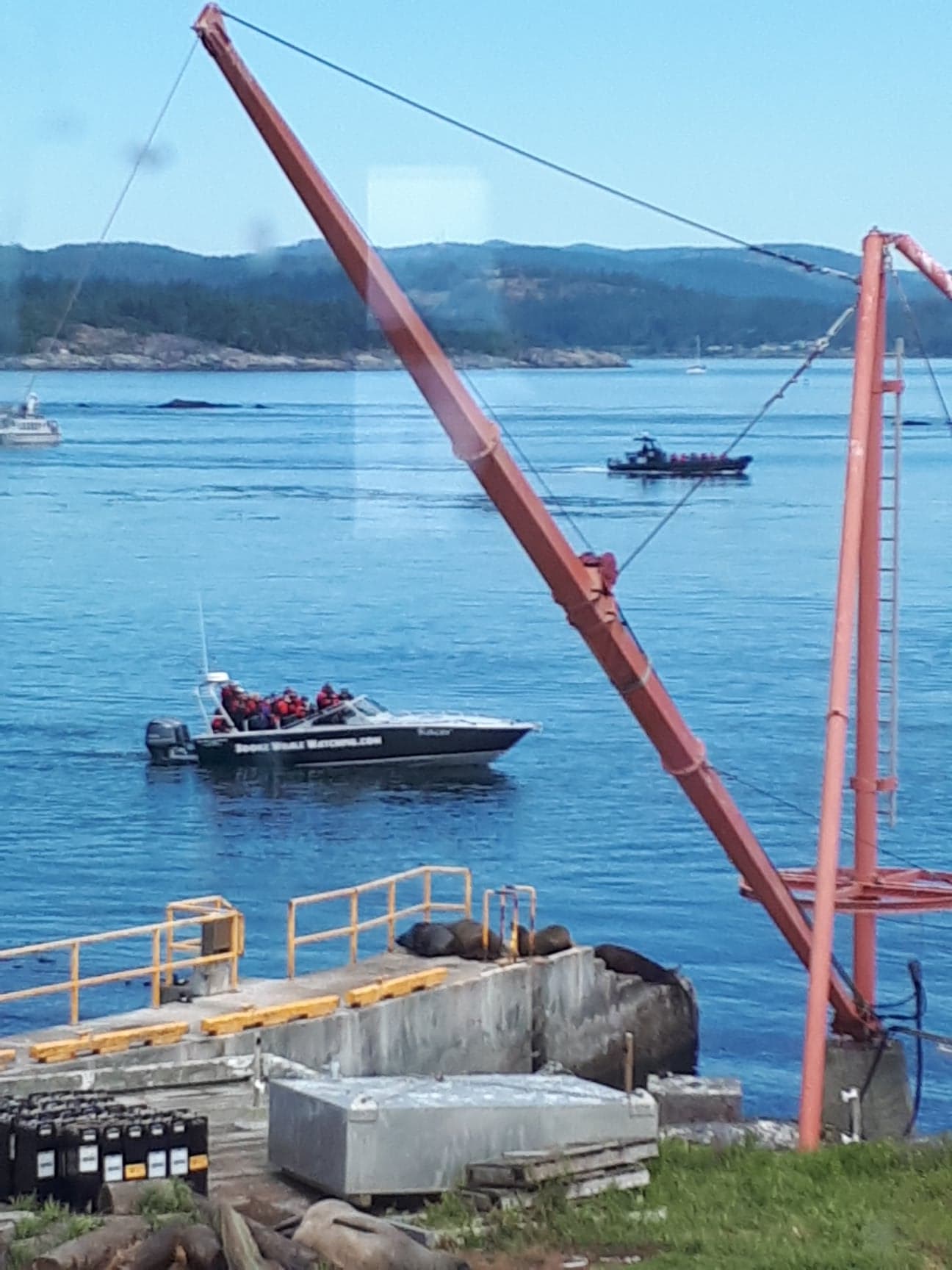
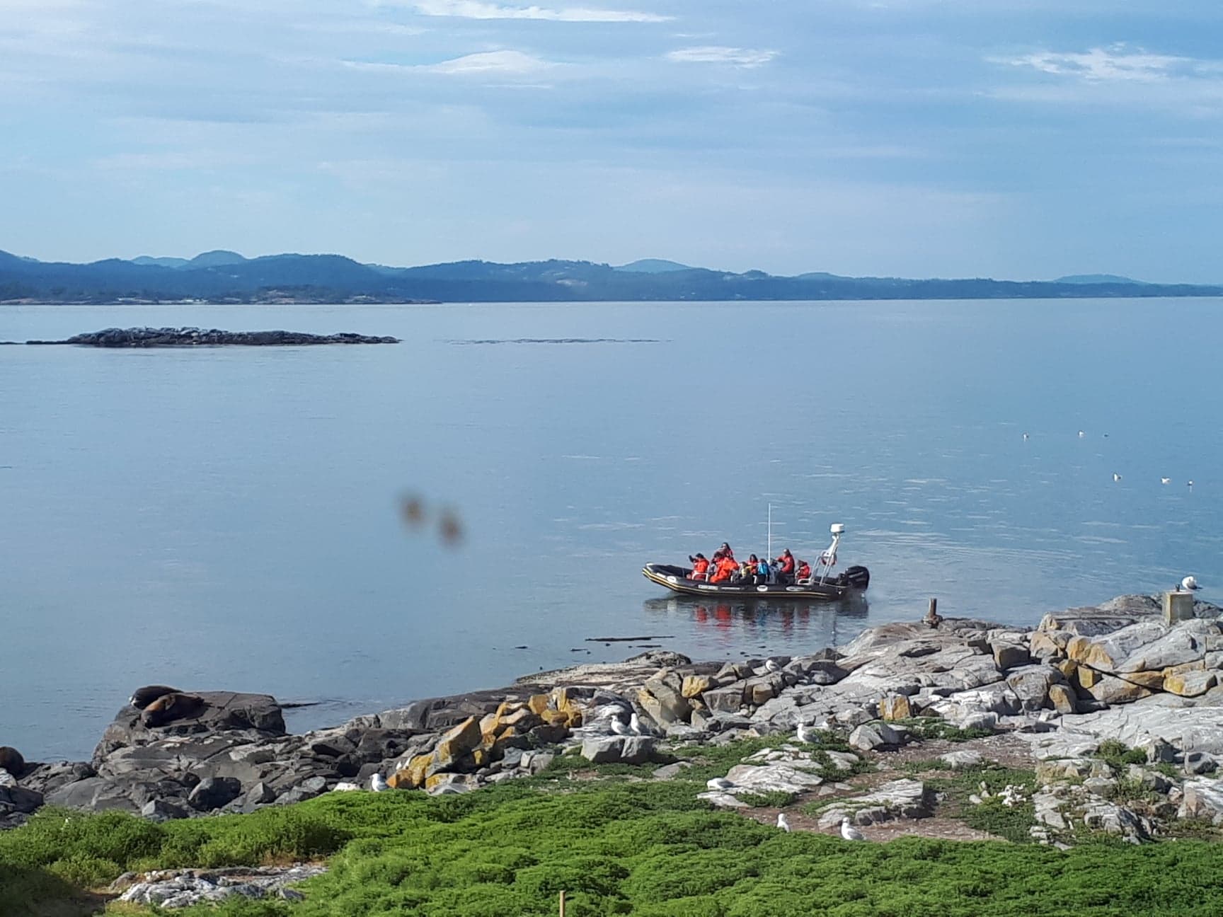
There have been lots of whale watching boats over the last few days, most coming within 25m of greater Race Rocks. Greg has came from the college a few times to resupply diesel (today) and water (yesterday).
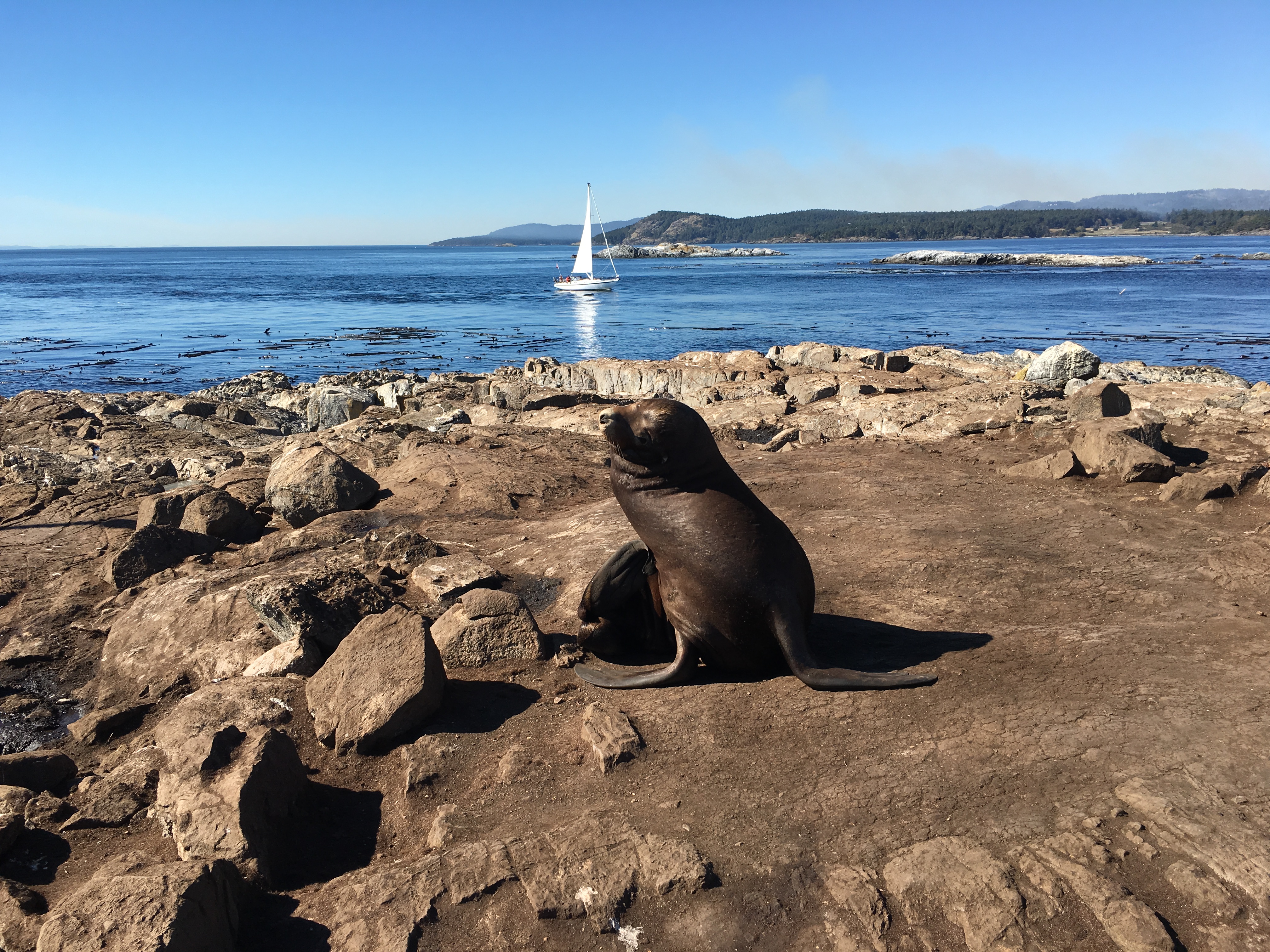
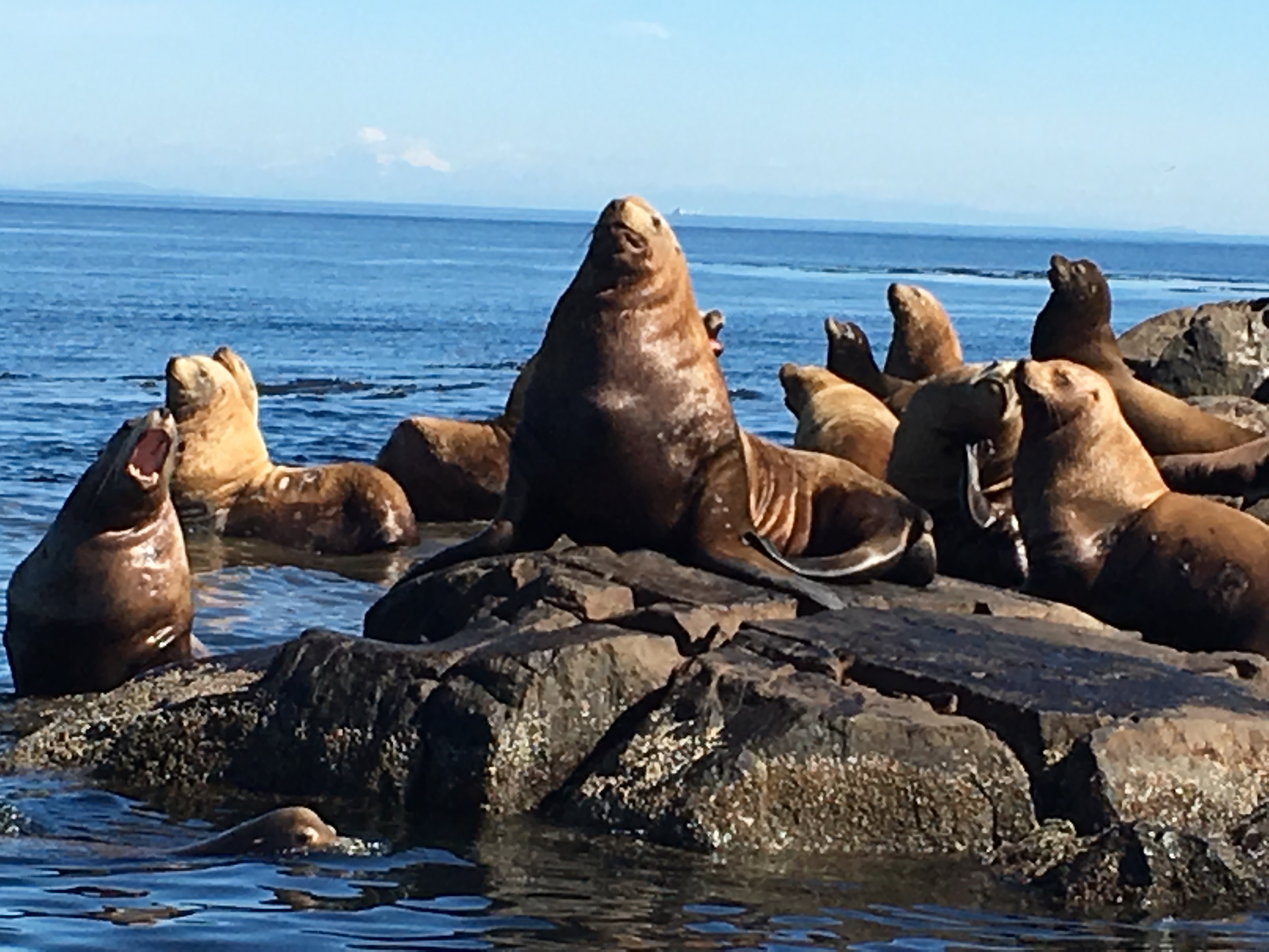
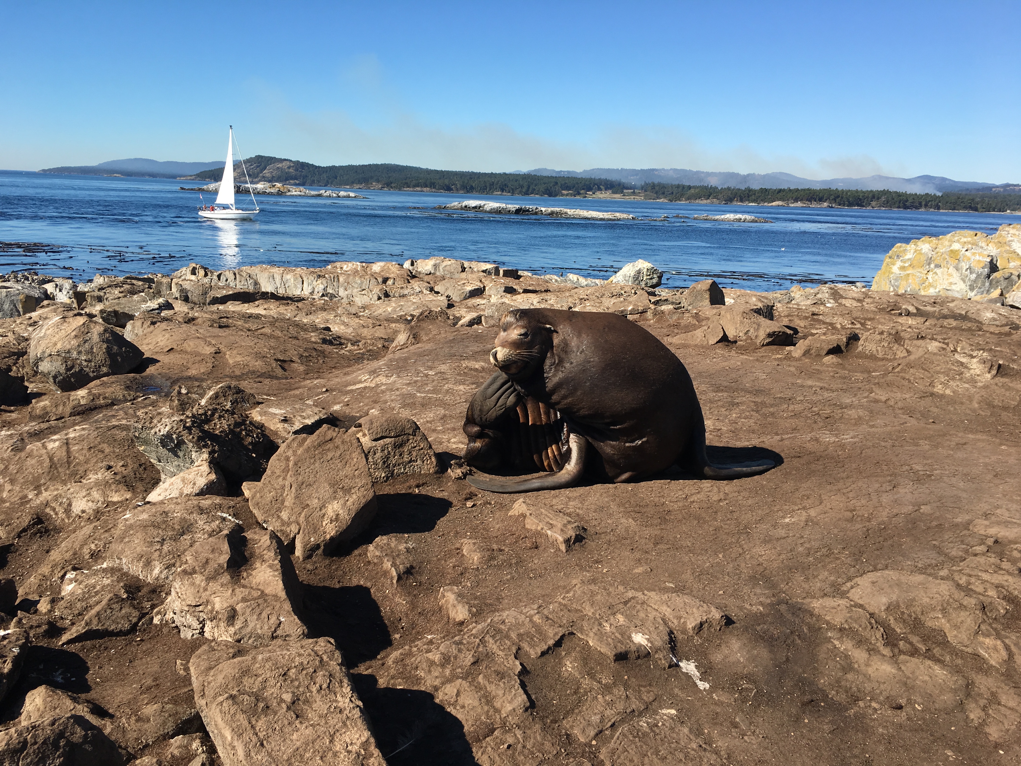
Ecological:
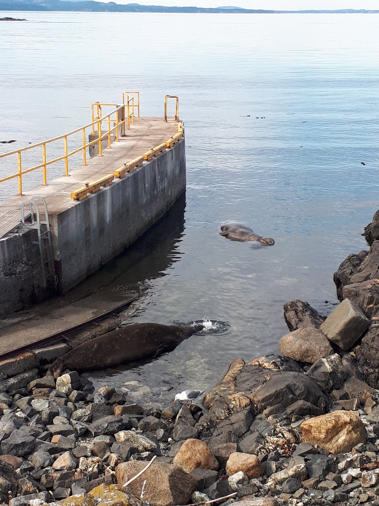
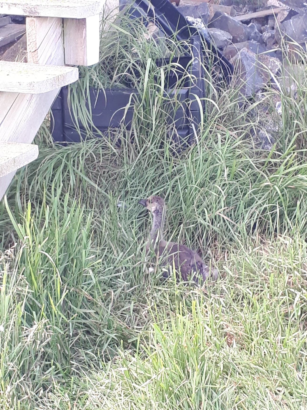
There are three large elephant seals here, and today they were all resting in the water at the end of the boat ramp. One of the goslings from the younger family of geese appears to have injured its food or leg. It has separated from the rest of them over the last few days, and can be seen limping and moving slowly, it is unable to keep up with the rest.
The DND has been blasting, it is very loud and sometimes occurs four to five times in a day. It startles all of the animals, and the birds take flight.
We have noticed some barn swallows flying around out front window. On closer inspection, they appear to be nesting under our eves where a soffit panel has blown out of place.
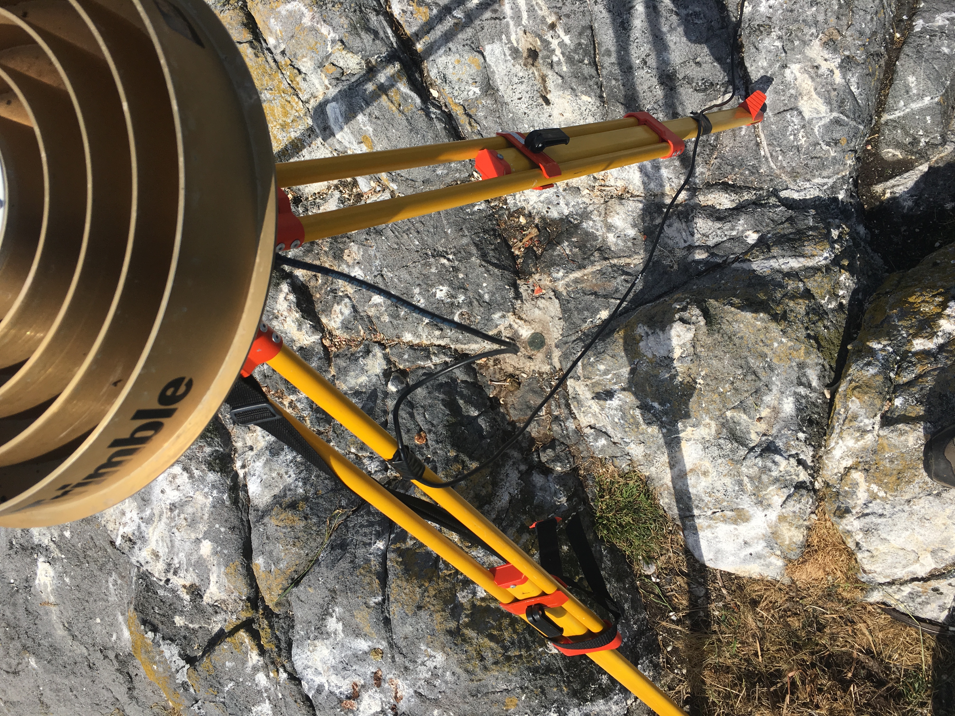
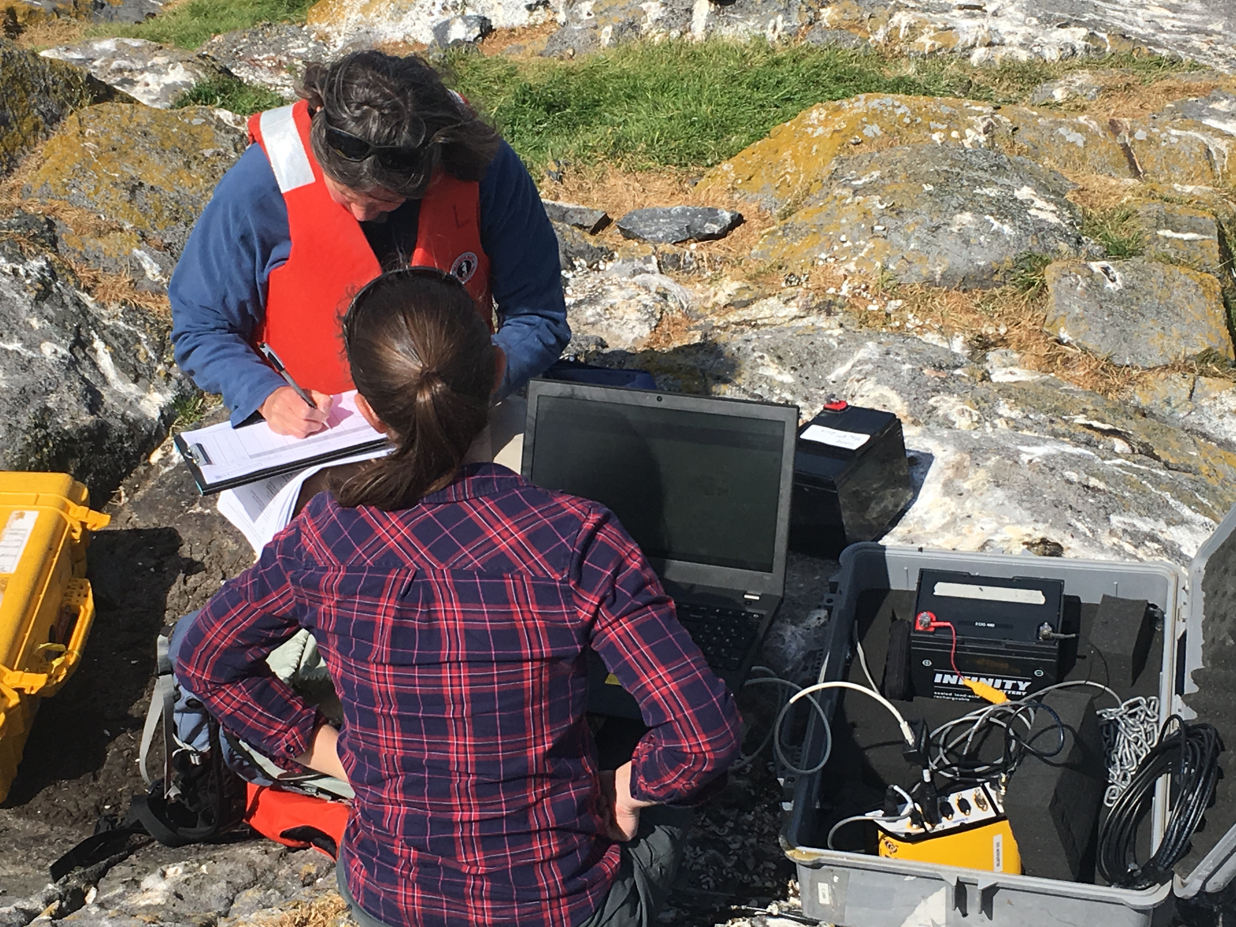
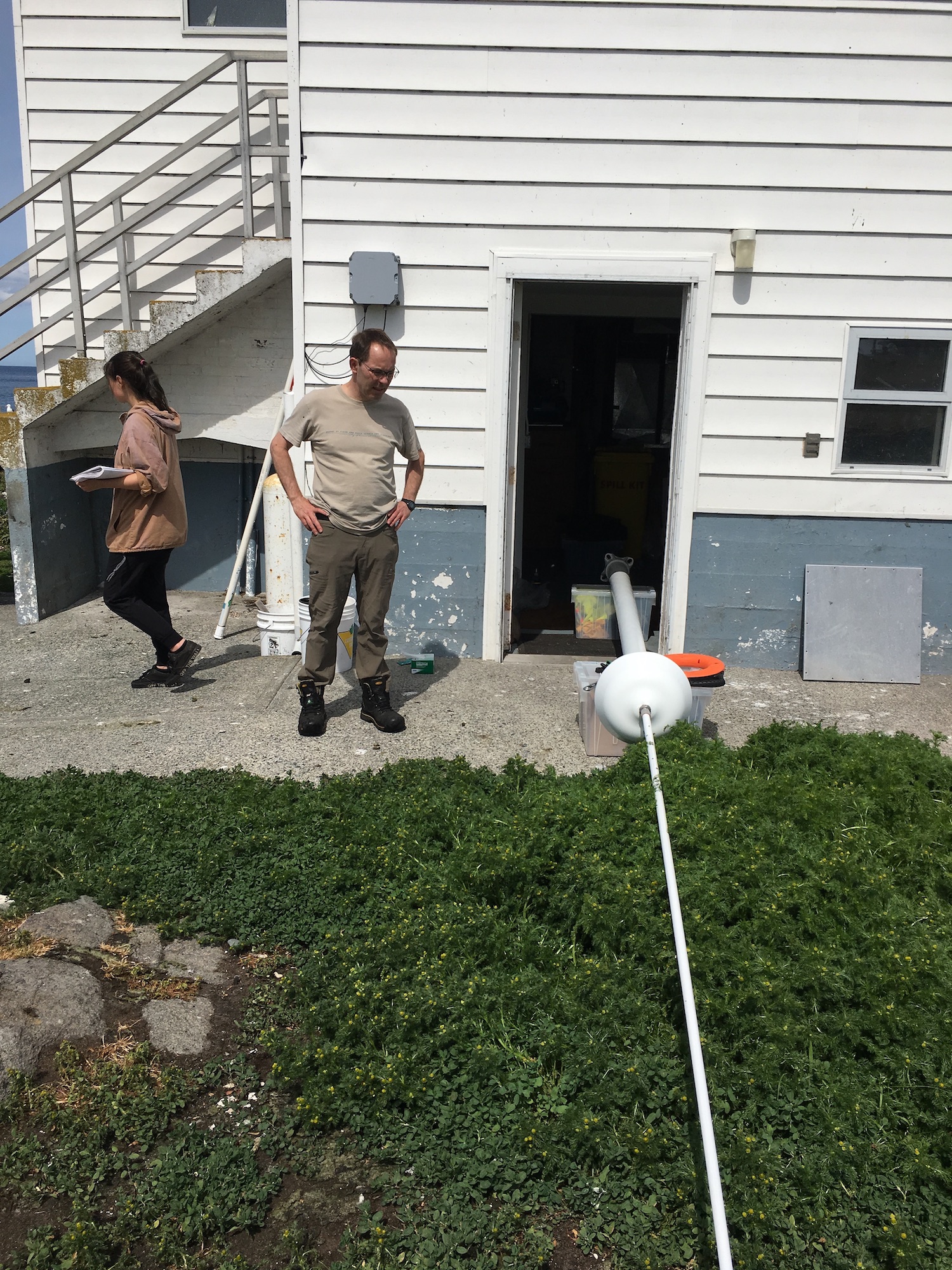
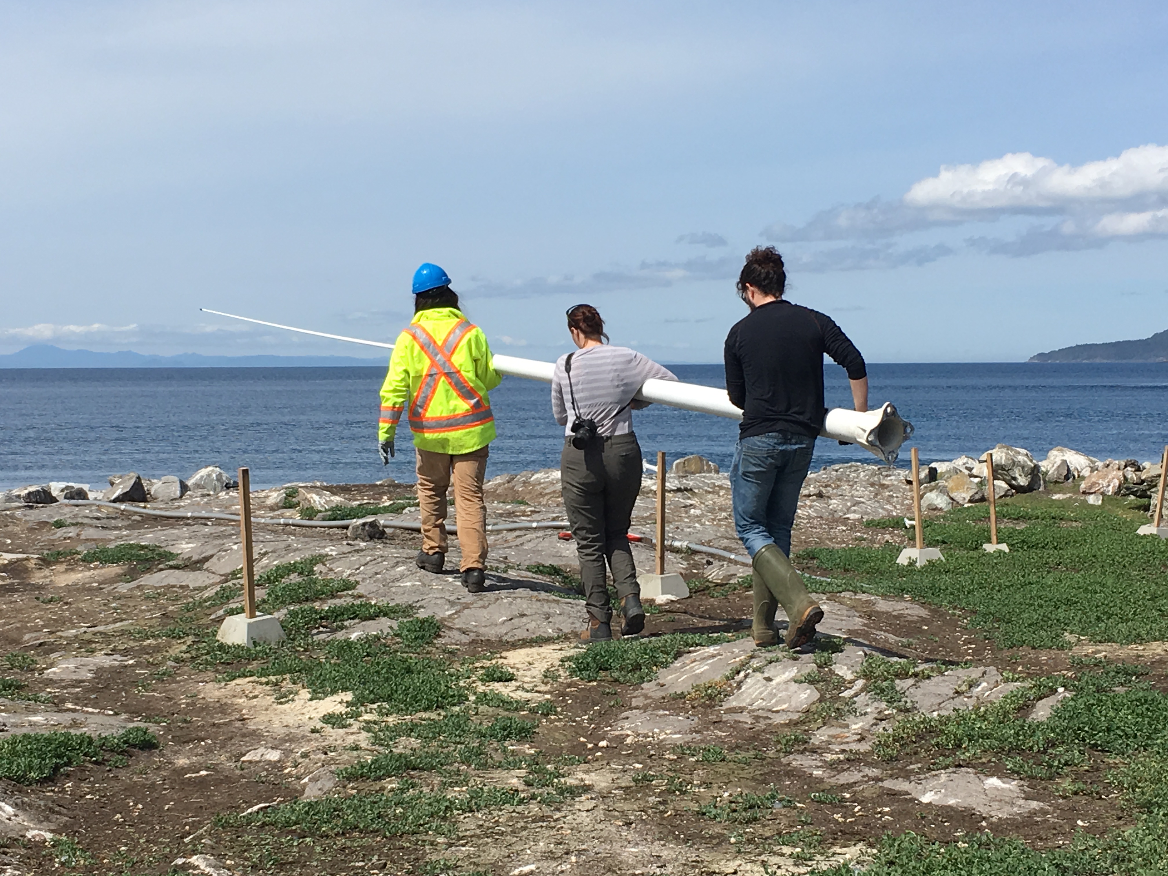
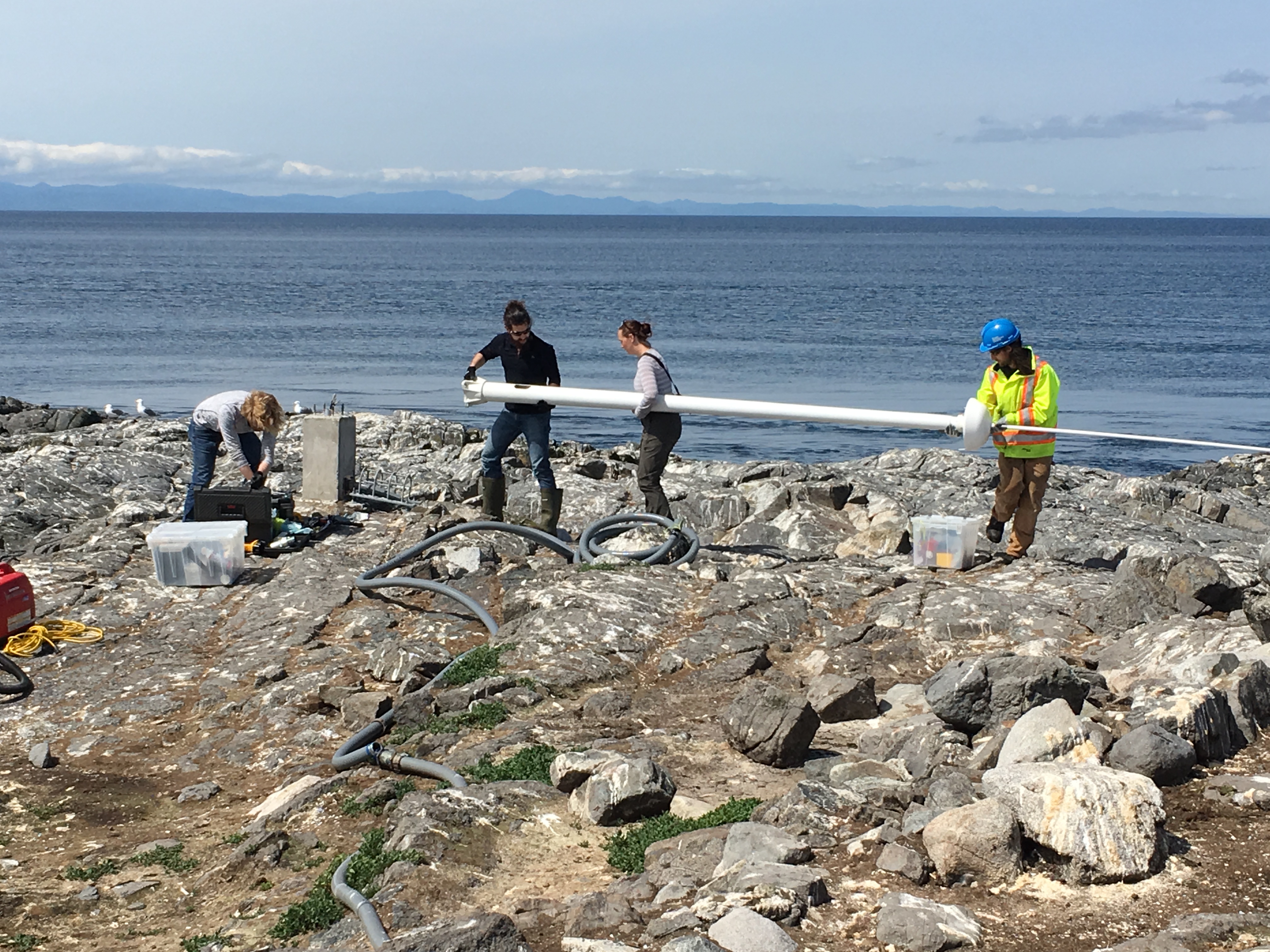
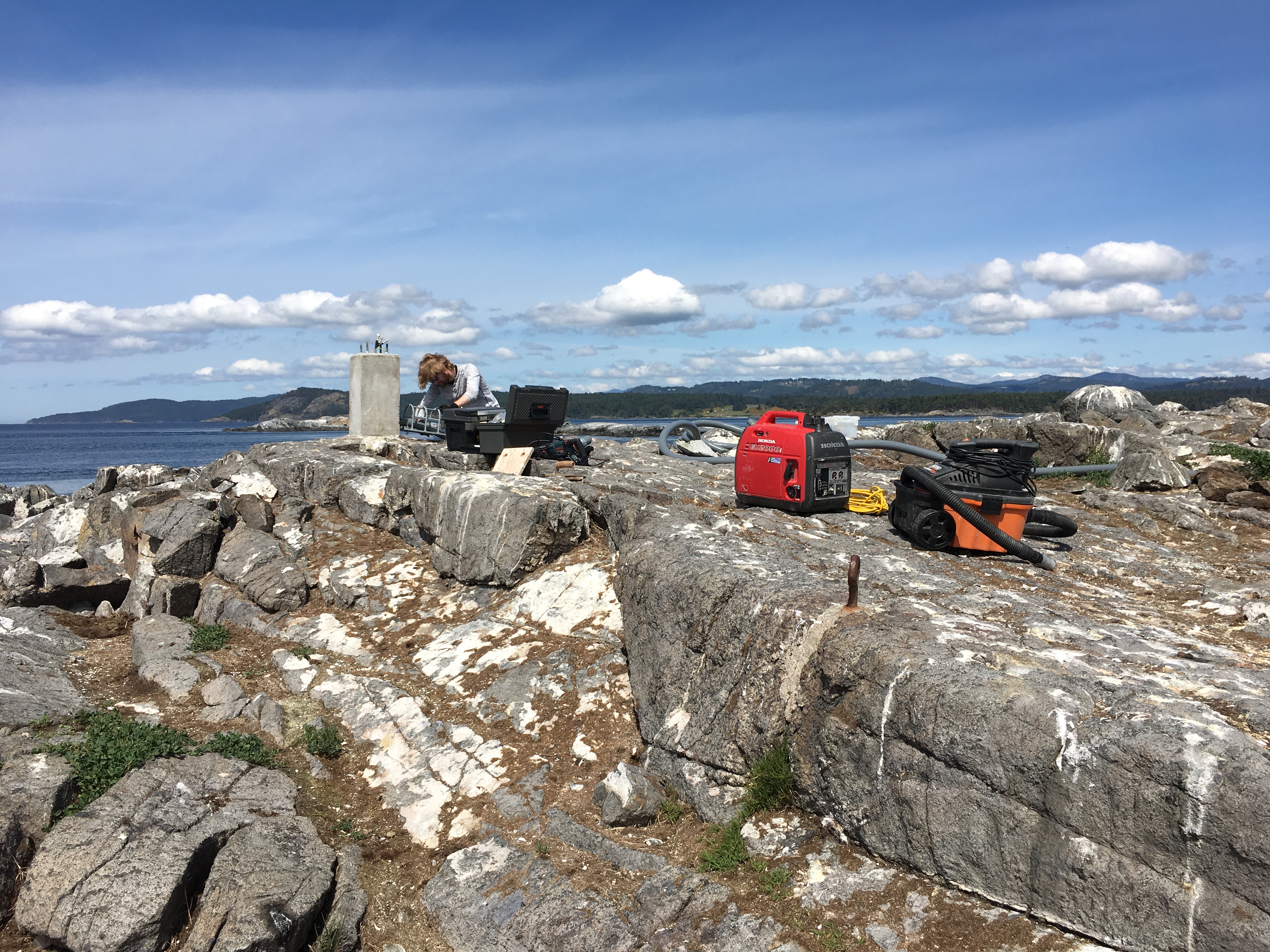
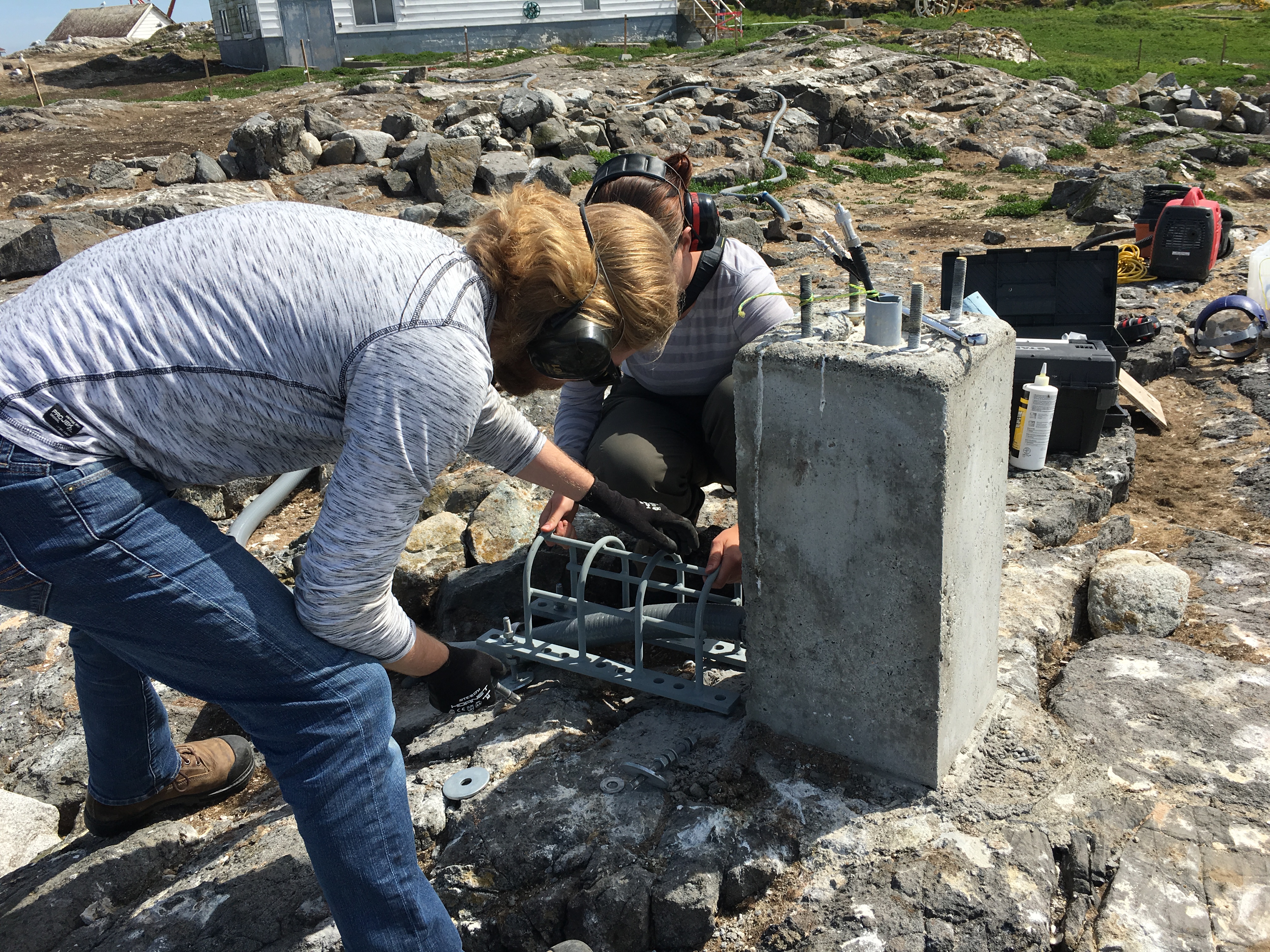
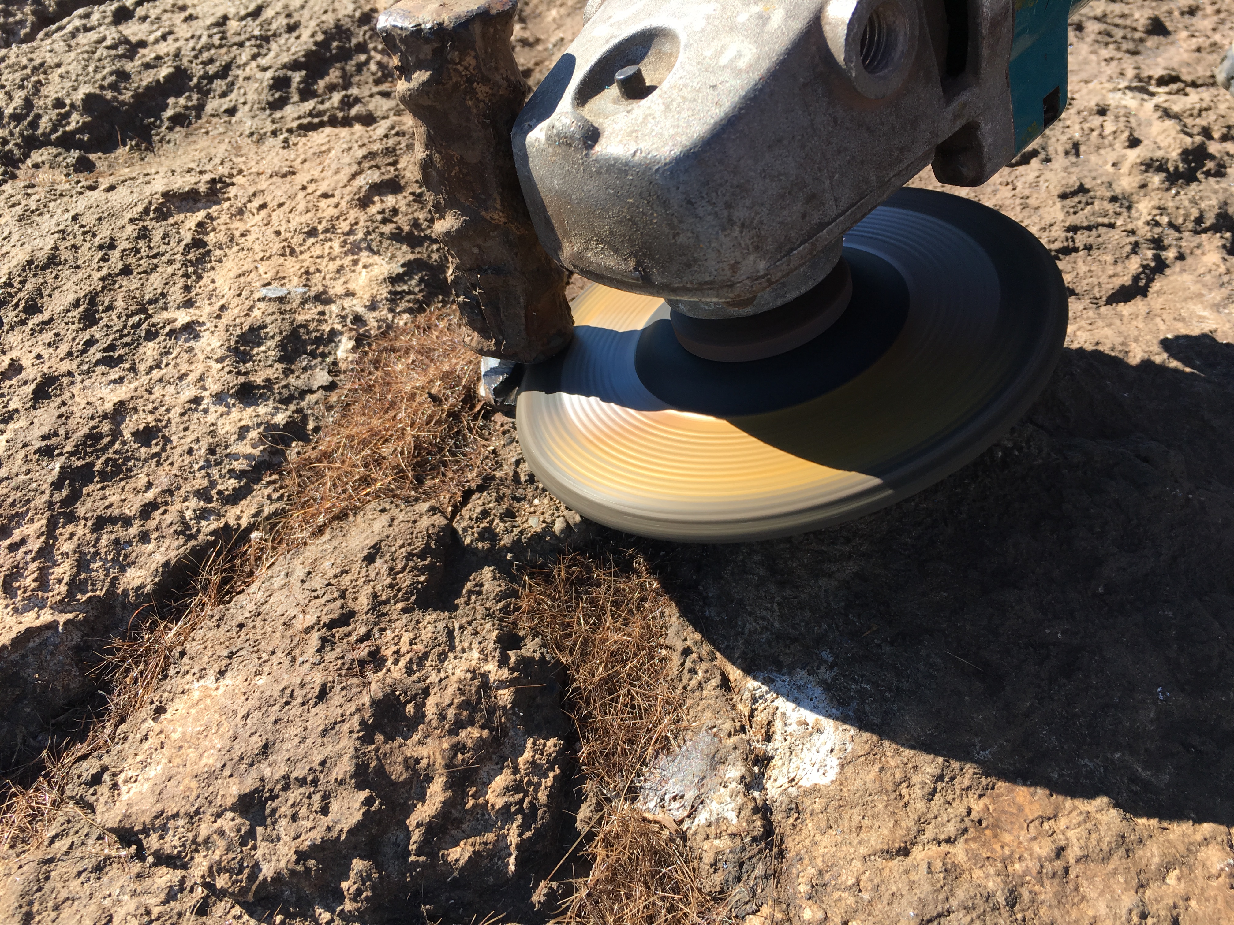
Maintenance:
We have replaced the hinges on both doors of the water tank shed, and removed old hinges fasted or corroded to the doorframe. Opening and closing the doors is easy now, and with a touch of anti-seize paste on the hinge pins it should stay that way.
We cleaned the solar panels for the first time in a while. The desalinator being out of commission means pressure washing is too resource intensive – we found an old hand pump sprayer, and found it to be very helpful for cleaning while conserving water.
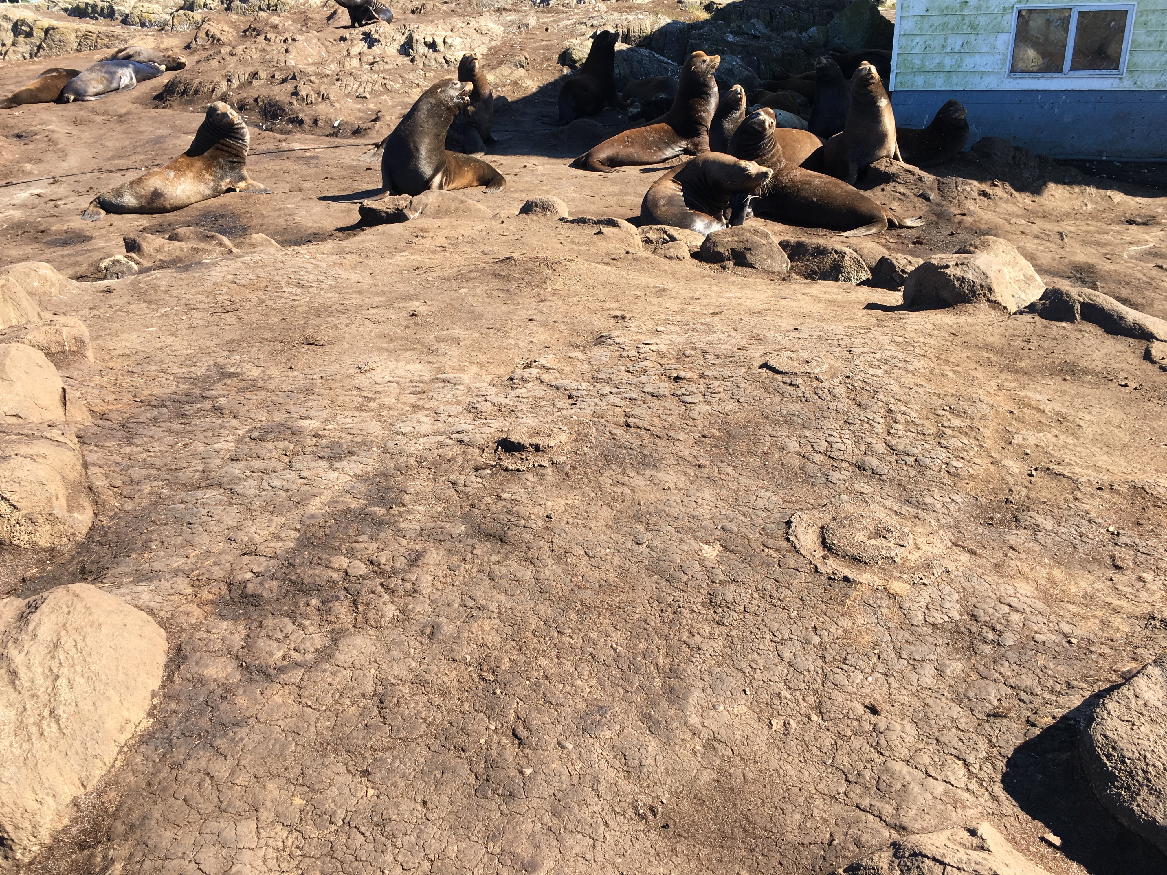
Census:
- 5 elephant seals
- 12 geese
- 2 seal lions
- 190 seagulls
- 8 oystercatchers
- 2 barn swallows