Distance Education Feedback

From a teacher in the United States:
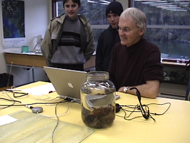
Garry! Well, you made history today. Our school had never had a live webcast. You were the first! We got online at about 10:40 and stayed on through the end.
The students were mesmerized. The evidence that it made a huge impression was seen back in class when I asked them to write about what they learned. I don’t think I’ve ever seen such long essays and such focused work!
Thanks so much for taking the time to do this for us.
Here are some quotes from their essays. I will send their
questions tomorrow.
“I wish I could be like Pablo, your student.”
“I learned that some species of plants grow together.”
“I liked it when you showed the tissue of the plant where the water goes.”
“They were doing what we are doing.”
“I learned that we could use green seaweed in a salad.”
“It helped me understand how scientists work.
“I liked that they talked very nicely and clear.”
“We are thinking we could be like you, Mr. Fletcher.”
“They know all about species of plants.”
“”I think Mr. Fletcher, Pablo, and Carolina work so hard.”
“I learned that some plants don’t need water.”
“We learned that weeds stick together. Oscar wanted to know why.”
“I learned that a plant inside the leaf is like a tissue all wet.”

I think I’ll have to get a brochure from Pearson College so I can send them to you in the future.
Thanks again, Maria

From a teacher in Toronto, Canada:
“Thank you for adding me to your notification list as the location and subject
matter of your website are as interesting to me as the technology. I was very excited the first time I saw an elephant seal through the Racerock ‘eyes’ and it’s quite a treat to see the baby seagulls that are the focus now.

Regards from Toronto!”
Carolyn

From a parent Victoria, Canada:
“Thank you for providing such an interesting and amazing site!! My son
and I spent more than an hour viewing the information provided, and he ran off to do more research after! Race Rocks may only be a short distance from where we live, but we had never had the opportunity to see below the surface and learn so much about the creatures that live there.”

Thanks again,
Jackson

From an instructional designer in Chignecto, Canada:
“I am a teacher and an instructional designer with the Chignecto Central Regional School Board located in Nova Scotia, Canada. I am currently designing courses for an online school for high school students in our Board (and perhaps beyond). I would like permission to link to your site:
http://www.racerocks.com
so that our students can explore biodiversity and the classification of living things through the video and information found on your website. I was very excited about the possibilities for students to explore “real life biology” after viewing your site!

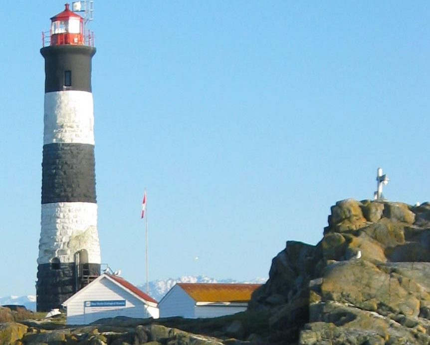
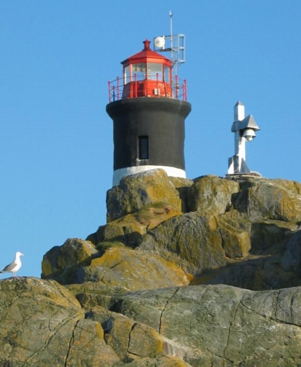
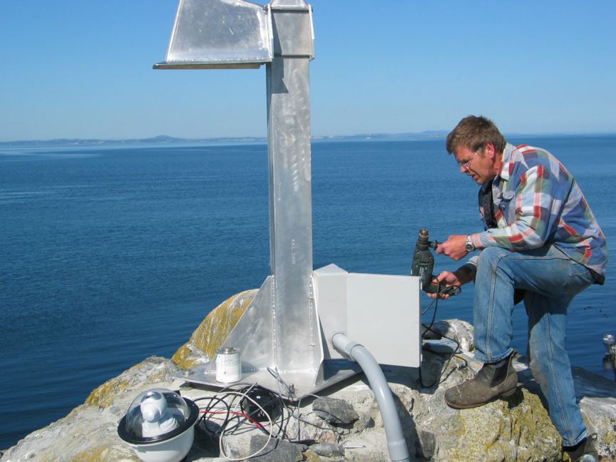
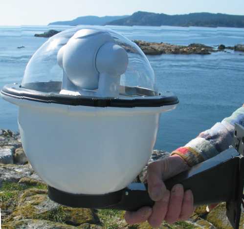
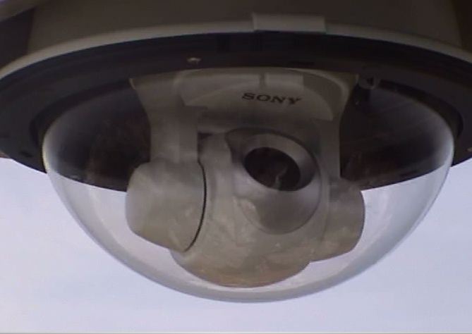
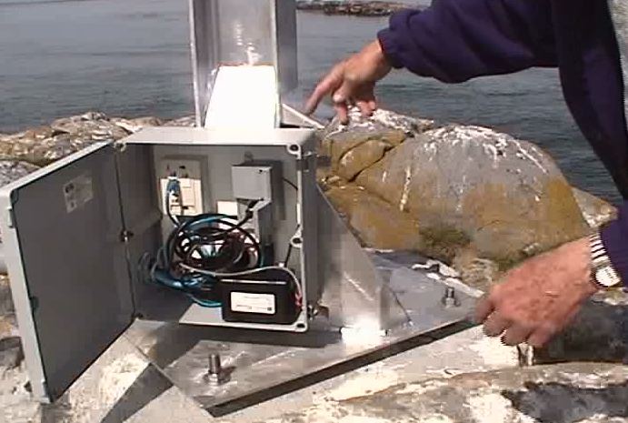
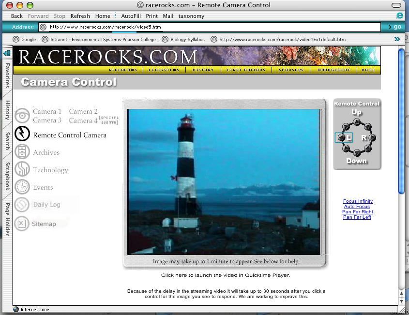
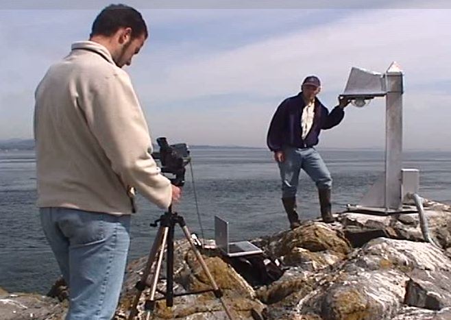
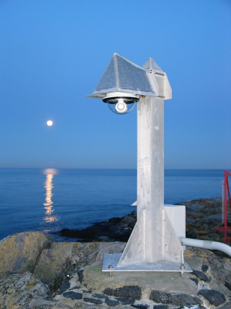
Installation of the Remotely Operated Camera 5 at Race Rocks

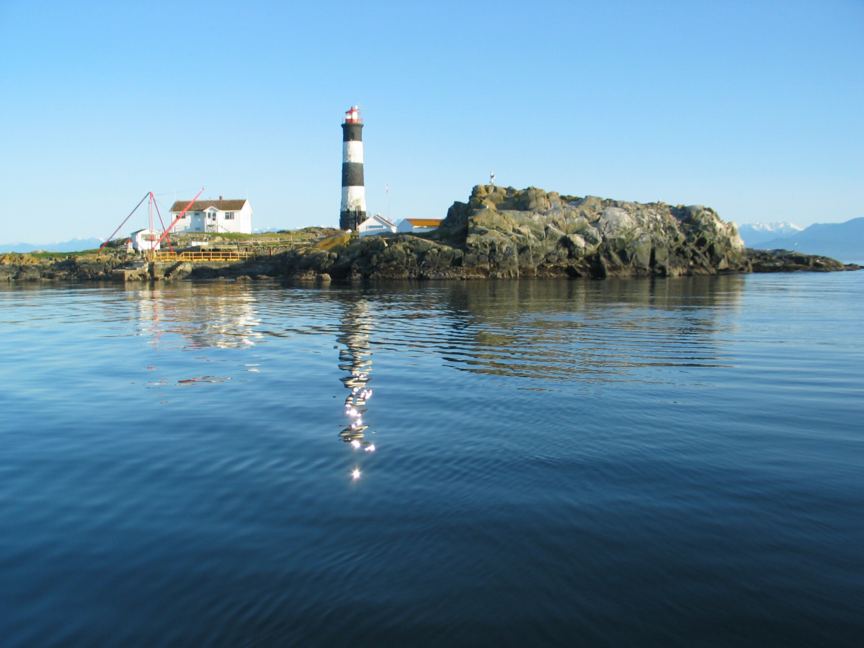
This remote controlled camera gives a full 340 degrees view of the land and surrounding waters of Great Race Rocks. The panoramic view with zoom capabilities can be controlled by the viewer.

Photos for this page by G.Fletcher

Be sure to use the manual focus when needed, and we apologize if occasionally the housing is covered with salt spray making viewing difficult, as it is not easy to keep it clean in this exposed location.

The original cam 5 was a SONY camera provided by Apple. This was replaced in 2010 with a canon VBC60, available from Nuspectra.

We have had collaboration from viewers in capturing pictures from this camera. See this example.

Research and Education Park Use Permit for Tidal Energy Project

The permit for the Tidal Current energy Project at Race Rocks for the time period 2004-2006  is included here:

Research and educational activities may only be undertaken in an ecological reserve, protected area or provincial park (referred to in this application as a “protected area”) when authorized by a valid permit issued by the Ministry of Water, Land and Air Protection (referred to here as “BC Parks”) under the Ecological Reserve Act, Environment and Land Use Act or Park Act.. Research and education activities must contribute to the scientific knowledge of the protected area(s). Only applications that are considered by BC Parks to be compatible with the conservation and recreation objectives identified for the protected area(s) involved in the proposal will be evaluated.

Please complete this application form and submit it with the detailed proposal description, for evaluation, to the Park Use Permits address on page 2 of this application. Supplying insufficient information will delay evaluation. No fee is required.

NOTE: 1. Allow 60 business days for evaluation of this proposal.

2. More information may be requested from the applicant during review of this application.

3. Submission of this application does not entitle the applicant to any rights or permission to proceed with any activity in any protected area.

4. This application is subject to review under the BC Parks Impact Assessment Process.

5. The final report of the research project must be submitted to BC Parks.

6. Any specimens whether biological, fossils, geological or other artifacts, are the property of the provincial government and their disposition will be specified by BC Parks.

7. BC Parks reserves the right to refuse any or all applications.

APPLICANT INFORMATION

COMPANY/SOCIETY/INDIVIDUAL NAME:

Pearson College and

Clean Current Power Systems Incorporated

INCORPORATION NUMBER, if applicable:

BC #630110

MAILING ADDRESS

650 Pearson College Drive

336 – 1275 West 6th Avenue

CITY / TOWN

Victoria

Vancouver

PROV / STATE:

B.C.

POSTAL / ZIP CODE:

V9C 4H7

V6H 1A6

BUS. PHONE NO. (Area Code):

(604) 739-xxxx


FAX NO. (Area Code):

(250) 391-xxxx

(604) 738-xxxx

NAME OF CONTACT:

name

Glen Darou

DATE OF BIRTH: (dd/mm/yy)

27/04/42

E-MAIL:

cleancurrent@telus.net

BUS. PHONE NO. (Area Code)

(250) 391-xxxx

(604) 739-xxxx

FAX NO. (Area Code):

(250) 391-xxxx

(604) 738-xxxx

CELLULAR PHONE NO. (Area Code):

(250) xxx-xxxx

(604) 916-xxxx

NAME OF PROTECTED AREA(S):

Race Rocks Ecological Reserve

PERIOD OF USE (inclusive):

FROM: July 1, 2004 TO: July 1, 2016

List all activities to be undertaken:

Collection of Specimens Survey/Inventory ◙ Research
Monitoring Educational
Other(s) (specify):________________________________________________________

Please attach a detailed proposal that addresses the following (A-C):

A. Please describe the project and provide the following information:

1. purpose of research or educational activity;

2. geographic location(s) of the activity (provide maps to an appropriate scale);

3. scope and objectives of the research or educational activity;

4. proposed methodology;

5. detailed schedule for the project from start to completion with major benchmarks. Indicate how sensitive this schedule is to change (delays in approval, weather, etc.);

6. resources required to undertake and manage the project, including all costs, proposed funding sources and other resources (equipment, supplies etc.);

7. relevance of the proposal to the conservation and education mandate and objectives of the provincial protected area system and how BC Parks will benefit;

8. the reason for, type, number and intended use for each specimen collected;

9. effects on vegetation, wildlife, species and ecosystems at risk and other protected area values;

10. what actions will be undertaken to mitigate impacts on protected area values resulting from the proposed research or educational activity; and

11. what report type(s) (thesis, publication, etc.) are anticipated and when will they be produced.

B. Names of each researcher or educator involved with the project and their

1. academic qualifications;

2. duties with respect to the project; and

3. previous relevant projects and a list of published papers based on activities within protected areas.

C. From the following list, use a “v “ to select all potential adverse impacts of the proposed activity. Provide additional detail for all impacts selected, including proposed mitigation.

Adverse and permanent effects to:

conservation, recreation and/or cultural values


character and aesthetics of the protected area


Adverse effects to:

red/blue-listed species or ecosystems, species at risk, biogeoclimatic representation, etc


critical or geographically unique characteristics


public health and safety


traditional use of the area by First Nations


local communities


recreational use or enjoyment of the protected area (regardless of the intended benefits of the proposed action)

Fees: Fees are not charged for research and education activities.

As required under Section 21 of the Park Act, the applicant agrees to pay the Province the costs incurred by the Province in surveying, cruising, examining and inspecting the area affected by the application; and

THE APPLICANT HEREBY CERTIFIES THAT ALL THE INFORMATION PROVIDED IN THIS APPLICATION IS TRUE AND CORRECT. Date:___________________

Signature of Applicant or Authorized Signatory of Applicants:___________________________

___________________________

Send completed application and proposal description to:

Ministry of Water, Land and Air Protection Park Use Permits PO Box 9371 Stn Prov Govt Victoria BC V8W 9M3

For more information please call:

Enquiry BC 387.6121 (Victoria), 604.660.2421 (Metro Vancouver) or 1.800.663.7867

Detailed Proposal

Tidal Turbine Generator Replacing Diesel Generators at Race Rocks Ecological Reserve

A.

Purpose of the project

To develop, install and test tidal turbine generator technology used in conjunction with an electricity storage system to replace existing twin 15 kW diesel generators

The turbine generator will be place in 12 metres of water between the main island of Great Race Rock and Middle Island. The location is called “Middle Passage”. The storage system will be located in the existing generator building on the main island of Great Race Rock.

Scope and objectives of research

Overall

•Produce sufficient energy to displace the existing diesel generation

•Create a 3+ metre design directly scalable to 1.0 MW commercial unit.

•Validate the design prior to the 1.0 MW program.

•Demonstrate the operability and reliability of the unit

Generator

•Demonstrate generator performance

•Develop a control system to maximize power output at a given flow condition

•Perform power conditioning based on site requirements

Turbine

•Validate blade and overall hydraulic performance

•Quantify starting performance and cut-in speed

Deployment

•Determine deployment configuration

•Demonstrate method of deployment

•Develop periodic maintenance techniques and schedule

Material

•Perform material testing in areas of biofouling and corrosion resistance

•Assess materials resistance to impact and erosion

Proposed methodology

See 5

Detailed Schedule

This schedule can be completed if permit approvals are obtained by September 1, 2004. Installation will be scheduled in September and October to avoid weather delays. Work will be done in advance whenever possible to avoid nesting seasons and other ecologically sensitive periods.

Clean Current Power Systems will provide funding for the project. Clean Current will obtain its funding from Sale of Common Shares. Costs excluding administrative overhead are as follows:

Cost Items

Cost (CDN$)


Turbine

Development

Design Engineer (1)

$345,000

Hydraulics/CFD Engineer (1)

$345,000

Computer (2)

$5,520

Software (CFD, Design, Analysis, Optimization)

$110,400

Prototype Testing (Diffuser, Bearings)

$41,400

Fabrication

$220,800


Generator

Development

Generator/Power Engineer (1)

$345,000

Electrical/Mechanical Technician (1)

$172,500

Computer (1)

$2,760

Software (FE, Misc.)

$13,800

Bench Testing

$16,560

Life Testing

$2,760

Fabrication

$100,740

Turbine/Generator Assembly

$13,800


Deployment Structure

Development (Consultant)

$207,000

Site selection and analysis

Tidal resource assessment

Installation

Fabrication

System Design

Development

Power Engineer or Consultant

$69,000

Electrical & mechanical brake, starter motor, power control system, power conditioning, data acquisition system)

$44,160

Assy and Installation

$20,700

Power Storage (Battery)

$483,000


Material Selection

Development (Consultant)

$41,400

Component Testing

Environmental Studies/Approvals

$20,700


Regulatory Approval

$20,700


Testing Program

Pontoon Boat

$48,300

Inspections/ Maintenance Plan

$20,700

Equipment Spares

$34,500


Transportation

$34,500


Sub Total

$2,780,700

Rough Order of Magnitude Factor (20%)

$556,140


Total Cost

$3,336,840

This proposal creates renewable energy to displace fossil fuels. The proposal conforms to Page 16 of the Race Rocks management plan for Facility Management

“Objectives:

•To showcase alternative, low impact technologies”

No specimens will be collected.

Existing buildings and conduits will be used wherever possible. One large hole will be drilled through bedrock to create a conduit for electrical cables (and system monitoring instrumentation) under water to about 3 feet above the high water mark. The purpose is to avoid shoreline turbulence and associated cable damage. Drilling one hole to place a post upon which the turbine generator will be mounted will disturb the bedrock in the middle of the passage.

Scheduling will be used to avoid disturbing birds during nesting season. Consultations with marine biologists will be used to assess impact before deployment of the unit. Underwater cameras will be used to monitor the impact of the turbine generator on fish and ocean mammals.

This will be the first free stream tidal turbine generator installed offshore in Canada and it will attract attention from commercial media. It is expected that Pearson College will publish studies of the ecological impact of this form of renewable energy.

Pearson College Input:

In keeping with our long term commitment to B.C. Parks the Marine Protected Area Initiative of DFO and the First nations to provide a level of stewardship for Xwayen, we would like to highly recommend this project.

The bottom line in our stewardship commitment is to keep the area ecologically sustainable and to ensure long term ecological integrity.

This proposal fills a serious need, the provision of low or no- impact technology for the generation of electricity to ensure our ability to operate in the reserve. We presently power the station and heat the residences with diesel fuel. The potential negative impact of this need on the ecology of the area could be enumerated as follows:

The fuel is supplied to the island on a bi-monthly basis by staff of the college using the boat “ Second Nature” Although we operate under the strictest standards for this transfer, the possibility always exists that a technical problem with the boat, failure

of transfer pumps and hoses, or human error could lead to a serious ecological impact if fuel oil escaped the transfer system.

The loud noise caused by the diesel generators is an irritant and has possibly discouraged some marine mammals from hauling out in the area. Harbour seals haul out for birthing in higher numbers a distance away from this otherwise ideal location.

The aesthetics on the otherwise pristine environment of the island of the generator noise is a legitimate concern.

Five species of Marine birds nest on the island. The constant noise from the generators could be impacting negatively on behaviour: predator response capability, foraging and mating/nesting behaviour.

Fuel storage on the island is by double-hulled 1000-gallon tanks which currently meet the required environmental standards but which do have a life span and therefore will eventually need replacement. Also since there are probably no other parallel examples of such diesel oil storage in ecologically sensitive areas, it is doubtful whether existing standards are adequate.

The fuel storage tanks on the island are vulnerable in the event of earthquakes.

The severe weather that the area experiences on many days of the year and the high tidal currents ( up to 7 Knots) mean that containment of spilled oil by booms would probably be impossible, resulting in severe species loss in the intertidal zones of the islands.


The marine reserve at Race Rocks, power the research and education facility at Race Rocks with a technology that allows for minimum disruption to the ecological integrity and the long term sustainability we see this proposal as a welcome innovation .

Shell Environment Fund presentation to racerocks.ca

December 2003: We are very grateful for funding provided by the Shell Environmental Fund for assistance in the operation of the racerocks.com activity, and archived and live video of the website.

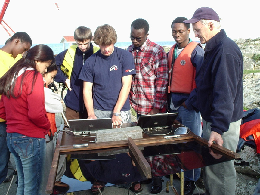
Jonathan (Newfoundland), Emmanuel (Ghana), Sonam (Bhutan), Stephanie (Shell), Tya (Indonesia), Jano (Slovakia), Garry (faculty).


The funds will be used for upgrading the software and hardware to allow greater participation of students in the production of the archived video and the Race Rocks Taxonomy
In particular, this fund will help in funding:
1. Support of the portion of the project which is dedicated to providing regular live webcasts to schools and museums.
2. Upgrading and enhancement of the Race Rocks taxonomy project. This class assignment allows students in environmental systems and biology to link in educational videos of species in their habitats at Race Rocks, thus providing an enriched educational resource. We have also linked to this exercise a template to encourage other schools to use a similar approach for recognition and conservation of biodiversity in their own local ecosystems. 
3. The purchase of additional equipment and software dedicated to more efficient compression of digital video and for an enhanced program of Live web casting to school rooms directly from the Ecological Reserve.


THE SHELL ENVIRONMENT FUND IN ACTION:

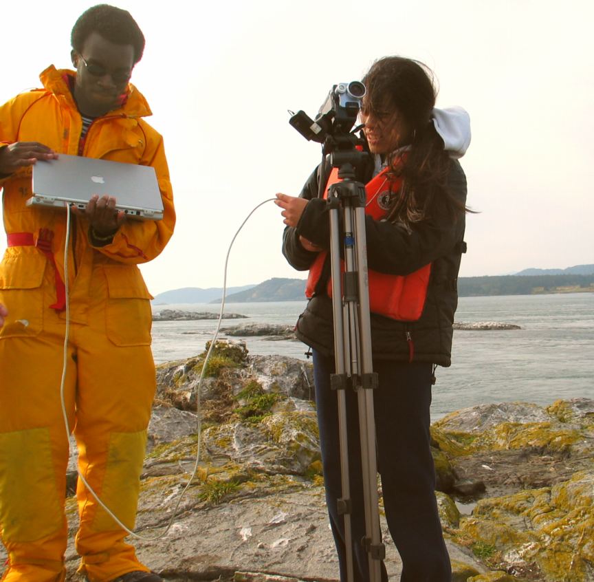
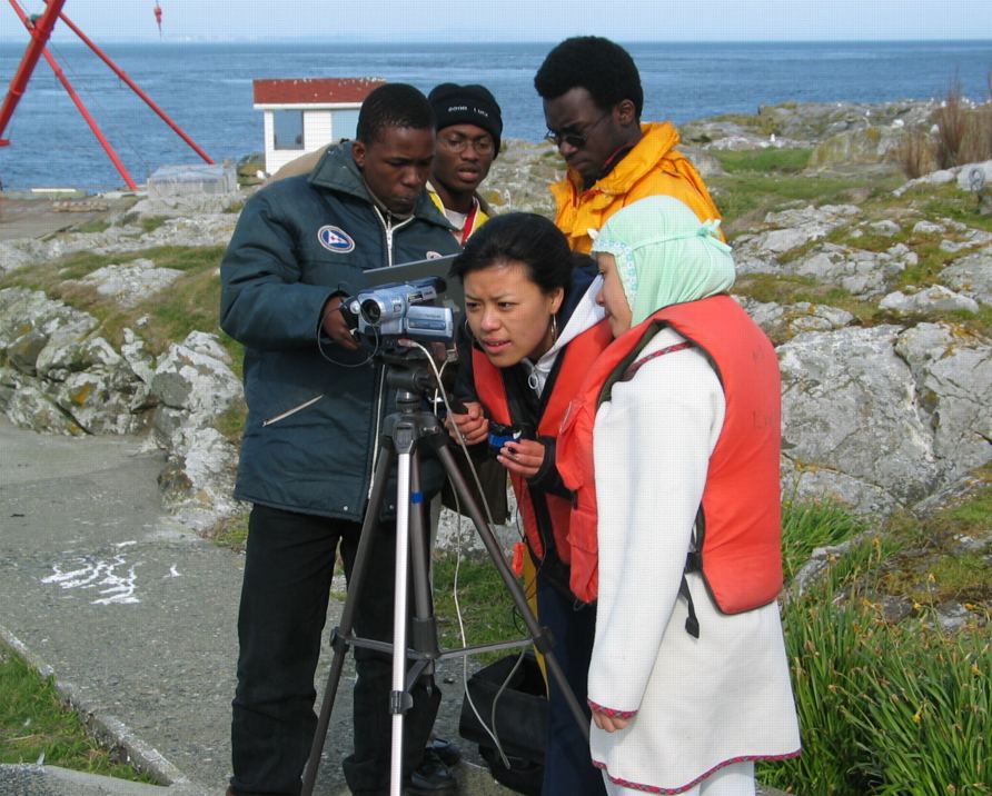
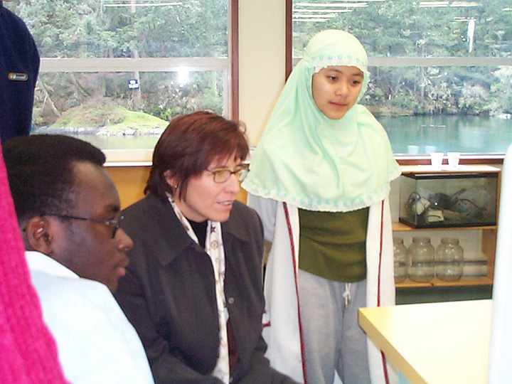
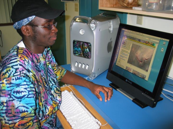
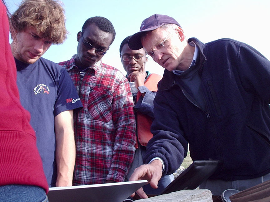
Emmanuel and Paul were two students who had participated in the Johan Ashuvud week in June and as well as providing daily hour long webcasts at the time. While on the island, they used the new camera and computer to produce a number of educational videos which are now on the website.

A highlight of the week was the production of webcasts for several school groups that came out to Race Rocks as part of the program.

Race Rocks Ecological Reserve and the web activity

Race Rocks Ecological Reserve and the web activity: racerocks.com

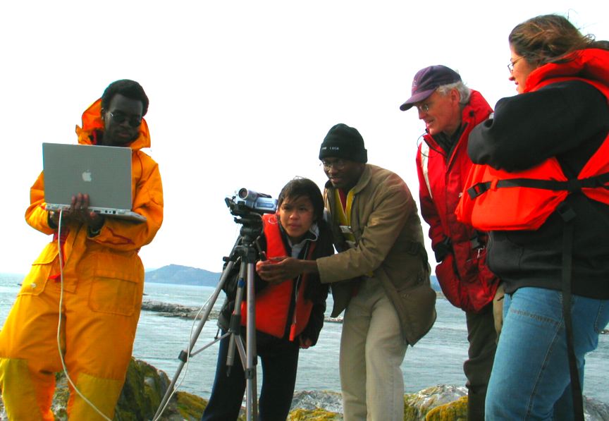
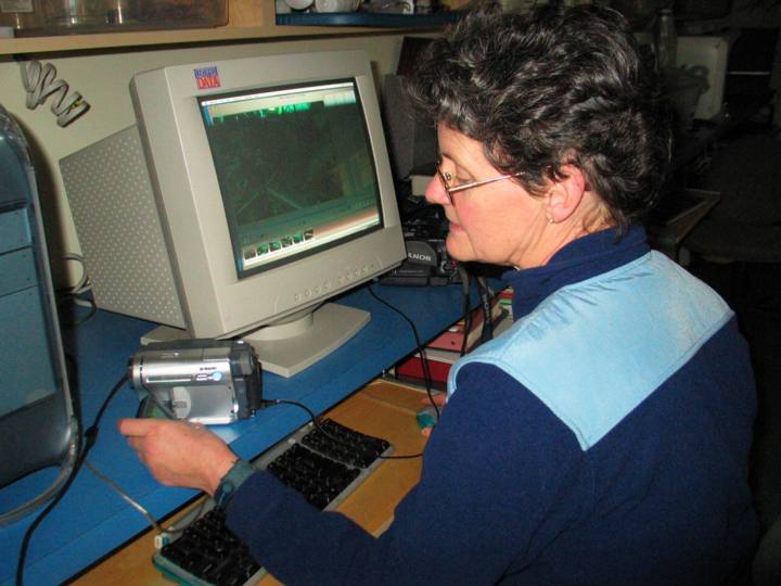
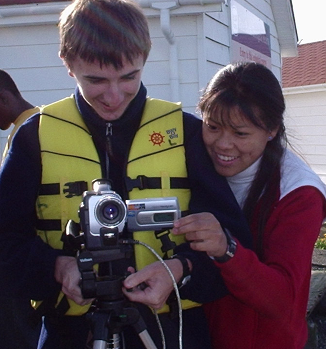
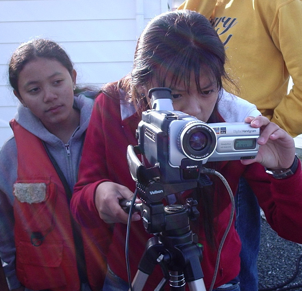
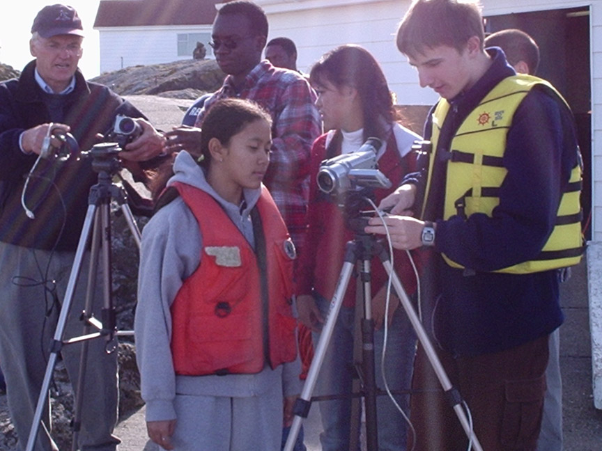
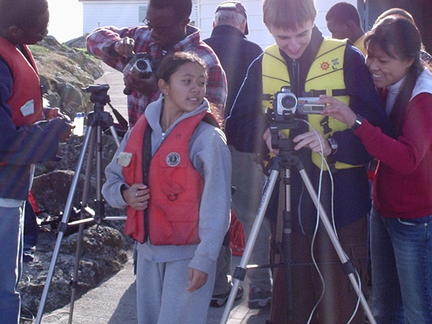
Students learning to use the web camera broadcast take images for archives, but also broadcast live. For a calendar of events broadcast live this fall from Pearson College, check the Race Rocks website:

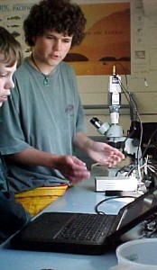
On this bright, sunny afternoon — one of our last for the last while — students take the 10 minute boat trip to Race Rocks Marine protected area and learn to use the equipment.

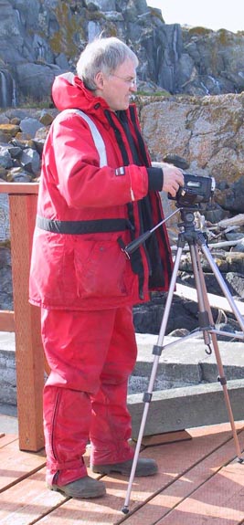
Biology teacher Garry Fletcher is the creator of the live (and often interactive) webcasting from Race Rocks Marine Protected Area. In mid-October, for example, the group did a live webcast to the Canadian Museum of Nature in Ottawa.

Come along with us to Race Rocks on this sunny afternoon.

Live Webcasting— a First Experience

Originally published in the College newspaper, THE LINK Oct 24, 2003, number 53

It was a warm sunny day, the day I had race rocks .com activity. As soon as I got to the float house Garry tells me,” We are going to Race Rocks.” I’d heard of this place for a really long time but had never been there, so got all excited.

We took the boat and as soon as I got to Race Rocks, the feeling was magical. There was the whole bunch of sea lions — northern, Californian and some other types — and this huge sea lion there on the dock. I never got to see one so close before in my life. All of us in the boat were admiring them while Eileen got busy clicking her cam and some worried that the sea lion would jump into the boat.

It was a wonderful experience, something hard for me to express in words. You had to be there to feel it. But there was something more to that beauty … they smelled reallly bad. I had to literally stop myself from breathing. That was tough.

Then we got to learn a lot about setting a live web cast and I got to be on one. I was so nervous! I could feel the blood rush to my cheeks and I was speaking so fast I didn’t even know what I was saying. This was so embarrassing knowing that people all over the world would have seen me making a fool out of myself. Better luck next time!…

It is one of my most memorable days at Pearson.  Sonam Yangden (year 3

Racerocks.com Activity October, 2003

Race Rocks Ecological Reserve and the web activity. The racerocks.com activity went out to Race Rocks to practise live webcasting from the island.

DND Blasting disturbs sea lions.


On November 7, 2002, the DND were still doing their demolition blasting exercises at Bentinck Island. (not Oct 7 as stated in this draft version of the video) The students from Lester Pearson College who were out for a project week were able to catch the images of the impact of these blasts on the first day from the science centre window and on the second day from the top of the light tower. In the tower, they interviewed Mike Demarchi of LGL who is currently doing a $50,000 contract for the Department of National Defence to monitor the impact of these blasts and to compare them with other disturbances at Race Rocks. (Click on audio icon below) Click the arrow on the left in the bar below for
THE INTERVIEW WITH MIKE DEMARCHI
by Jeremias Prassl (LBPC yr29)


Before and After images of DND Blasting effects

You may see the complete report here. Note in particular, the discussion of the results concerning the effects of blasting on the behaviour of sea lions.

Using Multibeam Sonar to Map MPAs: Tool of the Future for Planning and Management?

FROM: https://mpanews.openchannels.org/news/mpa-news/using-multibeam-sonar-map-mpas-tool-future-planning-and-management

Using Multibeam Sonar to Map MPAs: Tool of the Future for Planning and Management?

The seafloor – sandy or rocky; flat or sloped; seamount or canyon – provides the foundation for multiple processes within MPAs, including the distribution of flora and fauna. However, MPA practitioners have generally had only patchy knowledge, at best, of what lies at the bottom of their protected sites, based on information gathered from fishermen, divers, and rough bathymetric data from nautical charts. With an inexact understanding of what’s “down there”, planners and managers face a real challenge of drawing appropriate boundaries and protecting the habitats they want to protect.

Under such conditions, multibeam sonar may be the tool of the future for MPA practitioners. Used now at a small number of MPAs in North America, this mapping technology provides resource managers with the ability to envision the seabed as they never have before. Practitioners are using it to pinpoint boundaries, streamline research costs, identify and reduce ecosystem impacts from fishing, and more. This month, MPA News examines the technology of multibeam sonar and how resource managers are adapting it to fit their needs.

The basics of multibeam sonar

Maps of the seafloor made over the past century vary widely in accuracy. Older navigation systems resulted in features being mapped several hundred meters or even kilometers from their actual geographic locations. Systems to measure depth resulted in errors of tens to hundreds of meters. Depending on the spatial resolution of the mapping system, objects less than a certain size – even undersea mountains, in some cases – could fail to appear at all.

US military researchers developed multibeam sonar in the 1960s to address these problems. Mounted on a ship’s hull, the sonar sends a fan of sound energy toward the seafloor, then records the reflected sound through a set of narrow receivers aimed at different angles. Declassified for civilian use in the 1980s, the technology has since advanced to the point where it can detect features as small as one meter across and locate them to within one meter of their true geographic location. It provides users with two kinds of data: bathymetric (depth) data, and “acoustic backscatter”. The latter, which records the amount of sound returned off the ocean bottom, helps scientists identify the geologic makeup – sand, gravel, mud – of the seafloor.

In the 1990s, government hydrographic agencies appropriated the technology to improve the accuracy of their nautical charts, particularly in harbors subject to sediment shifting and other navigation obstacles. Oil and gas companies seized on multibeam sonar to help explore the seabed in their search for hydrocarbon deposits. And by the late 1990s, some MPA managers began to see the possibilities offered by the technology for studying seafloor habitats. Jim Gardner, a marine geologist with the US Geological Survey, said, “Multibeam sonar gives managers, for the first time, a very clear view of the bathymetry and backscatter of their MPA – it’s really the first time they’ve seen what they’re protecting.”

One question that the technology helps practitioners to answer is, Where should an MPA be sited? “A lot of people just draw a polygon on a map, and that becomes their marine protected area,” said John Hughes Clarke, a marine geologist at the University of New Brunswick, Canada. But drawing an arbitrary line fails to consider the hydrographic forces – such as currents – that affect a site, or its topography. Notably, the Canadian government has expressed interest in using multibeam sonar to help it redraw the boundary for its exclusive economic zone, which officials aim to extend beyond the current 200-nm range in areas where the continental shelf stretches beyond that line.

Hughes Clarke believes that Canada’s Department of Fisheries and Oceans (DFO) should take account of the seabed whenever designating MPAs. His team of researchers is mapping the Musquash Estuary, a shallow, partly intertidal area in New Brunswick that DFO is considering for formal MPA designation. In the estuary, he is using a series of multibeam surveys to map erosion, sediment deposition, and other surface-sediment changes over time – factors to consider when drawing up a management plan for the site.

Robert Rangeley, marine program director for the Atlantic regional office of World Wildlife Fund Canada (an NGO), said multibeam sonar benefits seafloor conservation in a number of ways. “First, the better we know the distribution of bottom types, the better we can map out both distinctive and representative habitats for protection,” he said. “Second, we can better understand the relationships between patterns in benthic habitats and patterns in the distributions of benthic organisms. And third, by limiting bottomfishing to those areas with high fisheries yield, the area of seafloor that is impacted by bottom gear – and the diversity and abundance of bycatch – can be reduced.”

Use of multibeam in marine protected areas

The number of marine protected areas that have been mapped using multibeam sonar is very small. The technology remains unfamiliar to many practitioners, and the cost to deploy it can be fairly high (see box Questions and answers on multibeam sonar). Nonetheless, planners and managers of several sites have incorporated it in their work, illustrating a mix of potential applications:

————-

Race Rocks Area of Interest, Canada

The rugged Race Rocks archipelago off the province of British Columbia is on the verge of formal, federal designation as a marine protected area. Researchers have conducted a series of seabed surveys of the site – with multibeam sonar and other technologies – resulting in detailed imagery of rock outcrops, small sand waves, sediments located in depressions in rocky zones, and more. “The definition of the seabed assists in estimating the degree of uniqueness of this area, a fundamental requirement for designation as an MPA,” said Jim Galloway, head of sonar systems for the Canadian Hydrographic Service. “Similarly these baseline surveys contribute to our knowledge of nursery locations within the boundary, thereby giving us the means to protect species and habitat appropriately.” As it has done for Flower Garden Banks, the multibeam mapping has also contributed to community education efforts. “The dramatic imagery and definition greatly assisted stakeholders in their appreciation of the suitability of Race Rocks to be assigned MPA status,” said Galloway. Incidentally, the Canadian Hydrographic Service is located within the Department of Fisheries and Oceans, which is responsible for designating MPAs in Canada. This co-location of responsibilities helped ease the process of executing the seabed surveys at Race Rocks and reduced operational costs, said Galloway.

For more information:
Jim Gardner, US Geological Survey MS-999, 345 Middlefield Road, Menlo Park, CA 94025, USA. Tel: +1 650 329 5469; E-mail: jvgardner@usgs.gov.

John Hughes Clarke, Ocean Mapping Group, Department of Geodesy and Geomatics Engineering, University of New Brunswick, P.O. Box 4400, Fredericton, NB E3B 5A3, Canada. Tel: +1 506 453 4568; E-mail: jhc@omg.unb.ca.

Leslie Burke, Department of Fisheries and Oceans, Regional Director’s Office, Scotia-Fundy Fisheries, P.O. Box 1035, Dartmouth, Nova Scotia B2Y 4T3, Canada. Tel: +1 902 426 9962; E-mail: burkel@mar.dfo-mpo.gc.ca

Andrew David, National Marine Fisheries Service, 3500 Delwood Beach Road, Panama City, FL 32408, USA. Tel: +1 850 234 6541 x208; E-mail: andy.david@noaa.gov.

G.P. Schmahl, Flower Garden Banks National Marine Sanctuary, 216 W. 26th Street, Suite 104, Bryan, TX 77803, USA. Tel: +1 979 779 2705; E-mail: george.schmahl@noaa.gov.

Jim Galloway, Canadian Hydrographic service, Institute of Ocean Sciences, 9860 West Saanich Road, Sidney, BC V8L 4B2, Canada. Tel: +1 250 363 6316; E-mail: gallowayj@pac.dfo-mpo.gc.ca.

Webcasting Crew at Race Rocks for the Johan Ashvud RR’02 Project

MEET THE CREW:

kiptower

Michael Kiprop Kenya (PC-2003)

joe

Joe Downham UK (PC-2003)

ben

Ben Dougall Australia (PC-2003)

ryan

Ryan Murphy Newfoundland & Labrador (PC-2001)

“We had a great time webcasting live from Race Rocks on Camera 4 during the first two weeks of June for the Johan Ashuvud Race Rocks02 Project”
Three current first year students from Pearson College and Ryan Murphy, who graduated last year stayed at the Marine Science Centre. Ryan is returning to Race Rocks this month to do research for Mt.Allison Univ. on the macroalgal community.

See one video on Pterygophora which was one part of his project here: They conducted daily live and prerecorded webcasts with Garry Fletcher from the intertidal and from underwater using camera 4.

Garry

Garry Fletcher Biology/Diving faculty

For one of the webcasts we were joined by Sean LeRoy, Graduate Researcher, Georgia Basin Futures Project Sustainable Development Research Institute, University of British Columbia and Dr.James Tansey also of UBC. They came to participate in the webcast with Garry and Ryan on Marine Protected Areas in new Zealand and Canada with Tim Langlois, Leigh Marine Laboratory University of Auckland, and Anne Saloman, University of Washington, Zoology Department.

On three days we hosted small groups of students from local elementary schools who served as proxies in webcasts done for their classmates.

Support for the Race Rocks 02 Project came from the Johan Ashuvud Race Rocks Memorial Fund
Below are some of the Videos produced by the crew during the week.

benframes kids octopuss
Ben’s movie put together during the week. June 2002 field trip: for a live webcast with the crew, of the grade six students from West-Mont school . One morning we found the body of an octopus washed up in the intertidal zone. An impromptu dissection led to this video.