Biotic Asociations at Race Rocks


The California Sea Cucumber exhibits an escape response when approached by the Sunflower Star.

Also see the video on Phyllospadix and its biotic associations

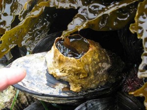
This mussel will no doubt have a competition for food with this barnacle.

Mussels have a number of associations.

  The whale barnacle living as a commensal on Gray Whales
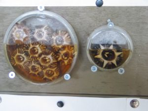
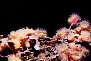
You will find below a set of photos from our photo archives depicting two or more organisms in a biotic association. These associations fall into one of several categories: mutualism, commensalism, parasitism etc. By going through the many organisms in the Race Rocks Taxonomy, you will find explanations for these and other biotic associations.
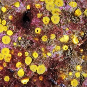
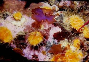
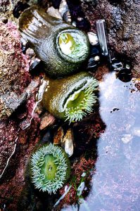
Coraline Algae and Epiactis Boring Sponge (Cliona) and Purple- Hinged Rock Scallop (Hinnites) Cup Coral (Balanophyllia) Epiactis and Encrusting Algae (Lithothamnion)
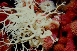
Basket Star and soft coral
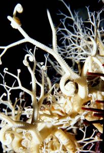
Basket Star and sea urchin
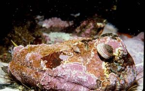
Abalone (Haliotis) and Lithothamnion
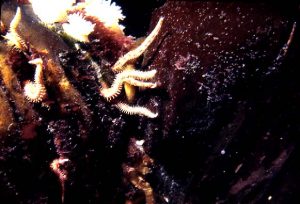
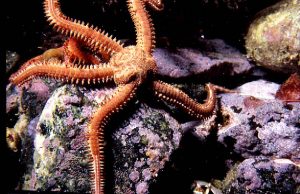
Anthopleura xanthogramica with internal green coccoid algae Brittle Star and Kelp Holdfast Brittle Star
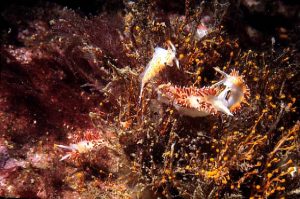
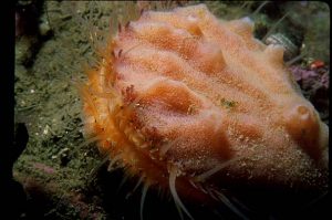
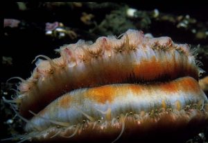
Nudibranch and the orange hydroid Garveia Swimming Scallop and Encrusting Sponge Scallop with blue eyes

Directory of OceanQuest Assignment Resources:

Collage for OceanQuestOverview: Are you prepared to take on the challenge of OceanQuest? You are expected to be an active participant in helping to build a valuable resource database for a unique sensitive environment.

The basic starting resources you will use come from www. racerocks.ca but our vision for the future is that you may actively develop a set of internet resources for your own unique ecological area.

Link to The OceanQuest GIS With Curriculum Guide
NOTE: The link to the GIS which ran on an outside server arranged by the Open School has been discontinued.. The other curruculum materials are still valid however on this site.

Topic 1 :
BIODIVERSITY

Some of the folllowing files from www. racerocks.ca were used in the building of the OCEANQUEST website.
Lesson:Intertidal Race Rocks 1. Structure and Function of Ecosystems :
How can we model ecosystems in order to understand how they work ?
Student Activities: Objectives:
Procedure :
1. Introduction
2. Horizontal distribution

  • Objectives:
    Procedure:

    • 1. Use the remote camera.
    • 2. Use the dichotomous key for identification.
    • 3. Determine the sector from aerial view of horizontal distribution.
    • 4. Field techniques to quantify distribution.
    • 5. Describe the Role of organisms in determining horizontal distribution.
    • 6. Design your own horizontal structure analysis.
    • 7. How do Anthropogenic Impacts affect Biodiversity.
      • Objectives:
        Procedure:
3. Vertical Distribution

  • Objectives:
    Procedure:

    • 1. Use the remote camera.
    • 2. Use the Dichotomous key for identification.
    • 3. Vertical Stratification of Tide Pools
    • 4. Subtidal vertical stratification with seaweed canopy.
    • 5. Vertical Stratification in the water column.
    • 6. Vertical Stratification in Soil
    • 7. Design your own vertical structure analysis.
4. Biotic Components
List of birds and mammals most frequently observed from the remote camera 5.
5. Rare and Endangered Species
6. Coastal Classification System

  • Objectives
  • Procedure:
7. Abiotic Components (Topic 2 below)
8. Ecosystem Function

  • Objectives:
  • Procedure:
9. Biogeochemical cycles

  • Objectives:
  • Procedure:
10. Extension..Other ecosystems– structure and function.


Lesson:
2. Why not Adopt an Ecosystem?
pond Use the internet as a means to get groups to collaborate to provide an educational resource while ensuring the stewardship of their own local ecological resources.
Objectives:
Procedure:
1. Identify the area
2. Establish goals and time lines
3. Establish a baseline inventory
4. Class project to provide a taxonomy
5. Use technology to document the area
6. Monitor for Structure and Function: (See topic 1.)
7. Submit site for inclusion in GIS
8. Obtain tiff-referenced aerial photography
9. Assemble a web-site to carry the information.
10. Create a list of the Ecosystem Services and Natural Capital of the area.

  • Objectives:
  • Procedure

11. Set up a weather monitoring Station


TOPIC 2: ABIOTIC FACTORS
Lessons:Link to Abiotic Factors Assignment 1. Selected Abiotic Factors (such as Barometric Pressure) :

The effects of physical factors on the life of an ecosystem is often taken for granted. Here we give you the chance to investigate some of the unique ways that organisms have evolved in order to adapt to the physical conditions of their environments.

Objectives:
Procedure:
1.Introduction
2. Wind Speed and Direction
3. Barometric Pressure
4. Lightning
5. Change through time: Salinity and Temperature.

  • Objectives:
  • Procedure:
Lessons: bell curve 2. Limiting Factors and the Ecological Niche
Objectives:
Procedure:
1. Introduction
2. GIS activity
3. and 4and 5. Contrast limiting factors in two closely related species.
6. Natural Selection
7. The Ecological Niche as determined by limiting factors
8. Adaptation: A classic study of limiting factors: The Bumpus sparrows.
9. Extension: Central Tendency and Variability.
Topic 3 : ANIMAL BEHAVIOUR
Lessons
Population
1. Population Monitoring:
An activity which allows you to contribute to a scientific database for the census of animals
Objectives:
Procedure:
1. Census of the populations, and the use of the dichotomous key.
2. Race Rocks population numbers and sector designations.
3. Weather correlation to population levels.


2. The Ethology Assignment:
Lessons:Ethology An activity that may allow you to look at the behaviours of animals in a new way
Objectives:
Procedure
1. Preliminary Observation.
2. Collecting Data.. The ethogram and the time budget.
3. Using the dichotomous key for identification.
4. Compiling the Ethogram
5. Preparing the Time Budget
6. Doing a report and submitting results to the GIS
7. Extension material

The Ecological Niche defined by Abiotic Factors

EconicheThe file linked here was included to illustrate the concept of the Ecological Niche of an organism. Ecological Niches are determined by all the Biotic and Abiotic factors that make up the limiting factors on an organisms environment. It is impossible to represent in a diagram all the factors which define the full ecological niche. After studying the two references linked on this page, write a discussion on how our built-up environments with cats, lawns, and other introduced species limit the ecological niches available and thus impact negatively on Biodiversity.

anthopleura
“The ecological niche of Anthopleura elegantissima at Race Rocks”
In this research essay, Santiago has adapted a tool from EXCEL to illustrate his concept of the “cloud” that represents an Ecological Niche of a sea anemone. This is an original interpretation and one which helps us visualize the dimensions of niche requirements.

Limiting Factors: The Bumpus Paper

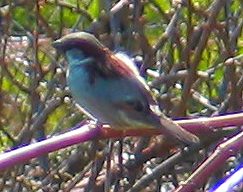
malesparrowA classic study done over a century ago has provided the data for many studies on limiting factors of the environment, See this PDF, partially quoted here from The Condor Journal : For the complete article go to http://elibrary.unm.edu/sora/Condor/files/
issues/v094n04/p0944-p0954.pdf


 INTRODUCTION
Nearly a century ago, Hermon Bumpus received 136 House Sparrows (Passer domesticus) that had been collected after a severe winter storm in Providence, Rhode Island (Bumpus 1899). Over half of these birds revived in his laboratory and Bumpus proceeded to evaluate physical characteristics that might distinguish these survivors from their dead counterparts. He concluded that the storm had taken a greater toll on individuals whose morphometrics deviated most from the “ideal type” (Bumpus 1899). Bumpus was unabashed in claiming this pattern of differential survival to be due to the agency of natural selection. The provocative nature of his interpretation, coupled with publication of the complete data set on which it is based, has prompted repeated analysis of Bumpus’ study (e.g., Harris 1911, Calhoun 1947, Grant 1972, Johnston et al. 1972, Lande and Arnold 1983, Crespi and Bookstein 1989). Studies reappraising the Bumpus data generally agree that females suffered proportionately greater mortality than males and that female survivorship reflects stabilizing or normalizing selection (Grant 1972, Johnston et al. 1972, Lande and Arnold 1983). Disagreement persists, however, in deciding whether male survivorship reflects directional selection and, if so, whether this selection favors larger (Johnston et al. 1972) versus smaller individuals (Lande and Arnold 1983, Clutton-Brock 1988). Such contradictory conclusions from the same data set reflect differences in confidence that var- ious authors place in Bumpus’ morphometric measures. Those accepting at face value all nine of Bumpus’ morphometric measures conclude that the winter storm selected against larger adult males, because male survivors had significantly less mass and shorter total length than did their dead counterparts. On the other hand, some contend that his measures involving plumage (alar extent and total length) and mass may be biased, albeit for different reasons, and should not be considered when comparing characteristics of survivors to non-survivors (Calhoun 1947, Grant 1972, Johnston et al. 1972, Crespi and Bookstein 1989). When analysis is restricted to each of the six skeletal measures, adult male survivors and non-survivors cannot be distinguished from one another.

FOR FURTHER INVESTIGATION:
The following original papers present the arguments for natural selection by abiotic factors in the environment:
BUMPUS, H. C. 1899. The elimination of the unfit as illustrated by the introduced House Sparrow, Passer domesticus. Biol. Lectures, Marine Biol. Lab., Woods Hole:209-226.

JOHNSTON, R. F., D. M. NILES, AND S. A. ROHWER. 1972. Hermon Bumpus and natural selection in Passer domesticus.

PRICE, T. D., P. R. GRANT, H. L. GIBBS, AND P. T. BOAG. 1984. Recurrent patterns of natural selection in a population of Darwin’s Finches. Nature 309:787-789.
Return to the Assignment on Ecosystem Structure and Function

Return to the OceanQuest Index

BC Parks Impact Assessment Process

FIle No: 85700-35-0210206

Name of Action:       Construction and Pile Drilling for Current Turbine Project  

Proponent:               Lester B Pearson College

Review Date(s):         Nov 2, 2005             

  1. Issues and Environmental Components
  2. List any issues of concern that have been or may be raised by BC Parks, other government agencies, First Nations, or the public.

2 Identify any geographic “hotspots” at or close to the proposed action (e.g., areas of high use, concentrations of facilities, wilderness conservation zones, unique landscape features).

Below are the relevant items that we are contributing to this Preliminary Assessment, the third in a series leading up to this project. If further items are provided in the next few weeks, they will be updated here:

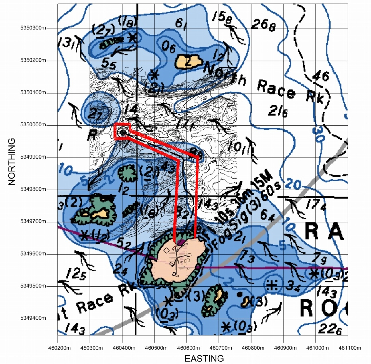
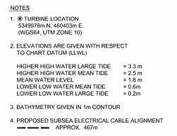
Location: The proposed location of the Tidal Current Generator Piling for the Cradle is shown below. This site was chosen after extensive testing of the current profiles in both channels with the Acoustic Doppler Current Profiler.

The red lines indicate the Pearson College  permit access area..


3. Identify any important environmental, recreational, social or economic values in the area of the proposed action and/or the area surrounding the proposed action (e.g., rare or endangered species, hiking experience, midden site). Include a rationale as to why the value is considered important.

The location for the installation is in the current channel just South of North Rock, with the typical associations of organisms of the highly current swept areas of the island. Since the depth is up to 20 meters, there are few macroalgae present.

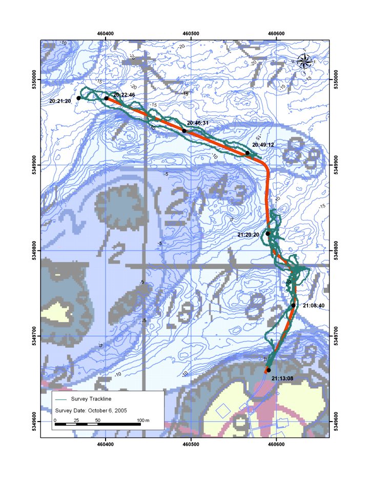
Archipelago marine has done a SIMS towed video CD . The route they took and the timing of the footage was done according to this Chart. Video taken by Pam Thuringer in the area of the chart missed by the towed video is now available from Archipelago marine

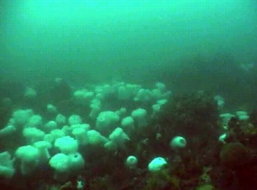
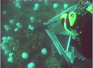
Some footage taken by the Pearson College Divers which shows the bottom fauna in the area of the turbine piling is located here:

In order to predict the best location for the installation of the tidal power generator, an ADCP ( Acoustic Doppler Current Profiler) supplied by ASL Environmental Sciences was deployed. This instrument will collect current regime information for a period of one month. Rita Santos did the video and Angie Karlsen helped Chris Blondeau lift and position the concrete weights used to secure the device on the sea floor..

For an idea of the general patterns of organism distribution, the two clips below were taken from the video which was filmed at the location of the ADCP research at Station2:

Preliminary Screen Checklist (partial)

C. Level 1 report should recommend appropriate times and methods for construction to ensure birds /wildlifeimpacts are kept to a minimum.

Date of work: The installation in November is timed after the nesting and seal pupping season and in the time of the year when the Sea Lions have returned but are concentrated in the area to the East of the docks, on South Rock and on Middle and West Island. The closest population that may be disturbed by the drilling is on North Rock, and part of Middle Rock. In the past that population frequently comes and goes probably because of the fall schedule of blasting by DND .

Construction Method: We have been advised that a contract has been let by Clean Current for the drilling and installation of the piling to bear the generator to:

Fraser River Pile & Dredge Ltd. (FRPD)1830 River Drive
New Westminster, B.C.
V3M 2A8
Tel: (604) 528-9333
(Project manager Rick Gillis)

The attached .pdf file.. Construction Drilling provides the details of this phase of the project.

The amount of oil consumed in the drilling operation is approximately 5 gallons /hr. For a drilling depth of 8 m, the operation should take 4-5 hours. The drilling operation will not produce an oil slick. In the event of a spill FRPD, will employ their standard method of deploying containment booms and pads to contain the oil. Due to the challenging conditions in this area, FRPD will have additional booms and pads on board.
The drilling operation is a closed system. All drill cuttings will be brought to the surface and then processed through a cyclone which will separate the cuttings from the water. The water and entrained air will then be returned to the ocean via a pipe at a depth of approx. 20 ft. All of the cuttings will be collected on a scow that is tied up along side the drilling barge.The cuttings will be taken ashore for disposal.
Six anchor blocks of approximately 6’ x 6’ x 6’ will be used to anchor the drilling rig in position. Each of these blocks can be dropped at a predetermined location; however, depending on the current during this operation, the actual location may differ from the intended spot. Also, once all 6 blocks are in position, the anchor lines will be tensioned to firmly lock the barge in position. During this winching operation, it is very possible for the blocks to slide a short distance along the seabed until they lock in position. The thinking now is that 4of these blocks will left in place for the duration of the Tidal Generator Project. This will avoid further damage to the bottom in future operations where a barge will have to be employed for the lifting of the generator on regular (yeaarly) basis for servicing.

Equipment

Island Tug operates a large fleet of tugs and barges including one self-propelled cable layer. The principal method of cable handling utilizes one of two powered self-breaking drums. Reel number 1 has a capacity for 80,000 feet of 2-inch diameter cable with a break holding capacity of 200 tons. Reel number 2 has a capacity for 30,000 feet of 2-inch diameter cable with a break holding capacity of 100 tons.

Procedure of Cable Laying – General

Reel number 2 is mounted aboard the cable layer, Georgia Transporter. Cable is transferred from shore storage reels to the ship-mounted reel and transported to the site. Cable is taken ashore at the cable shore-end via a bow mounted adjustable ramp. A bow mounted cable chute is used to deploy the cable while the Georgia Transporter is towed astern. Two GPS systems monitor the surface position and provide feedback via digital charts. Track corrections are implemented through a variety of methods using the Ship’s power, directing the towing vessel or employing side boats. For shallow water lays, the cable tension is not monitored by equipment but by the angle off the bow, with lay and reel speeds corrected as necessary. For deep-water lays, the cable tension is monitored with on deck tension monitoring equipment such as linear tension devices or load cells. Cable weights and water depth information are pre plotted along a planned track in order to adjust for the intended tension at given positions.

Reel number 1 is mounted aboard one of Island’s flat deck barges and used in the same manner as the description above, with the exception that the barge will start and finish on four point moorings.

Island Tug And Barge Ltd.
R.L. (Bob) Shields
President

Piling Construction:

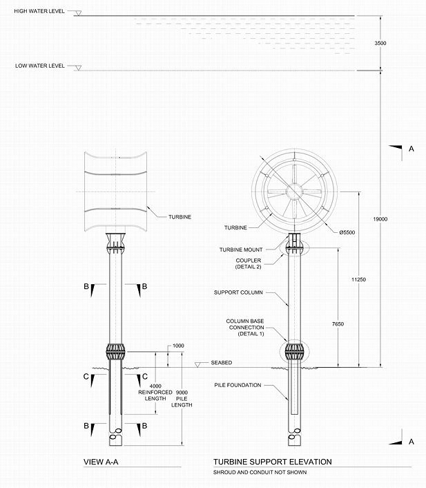
Further details of the column construction in the figure above can be obtained from a .pdf file from Clean Current
On Site Supervision: Chris Blondeau, operations manager, and Garry Fletcher, Ecological Reserve Warden will be available to oversee the environmental concerns. In addition, Pam Thuringer and staff of Archipelago Marine have been contracted to do an ongoing environmental assessment for the duration of the construction phase of the project.
Recommendations:1. If it is possible, we recommend the temporary displacement of any of the larger motile invertebrates such as sea urchins, sea stars and sea cucumbers in the impacted area while the project is being carried out, with their return to the same approximate habitat upon completion. This may however not be feasible given the nature of the operation and the timing.

2. Working at this time of year could involve difficult weather conditions. It must be emphasized that the safety of personnel and the ecological reserve is paramount.

Prepared by G. Fletcher Nov 2, 2005

Underwater Survey for Environmental Impact of Tidal Generator Piling Location

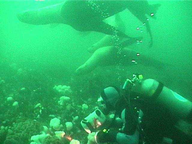
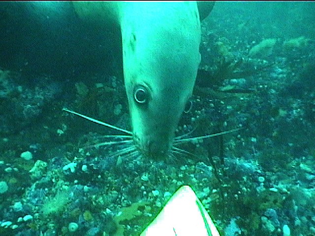
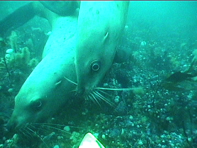
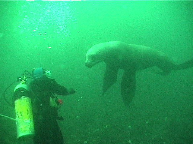
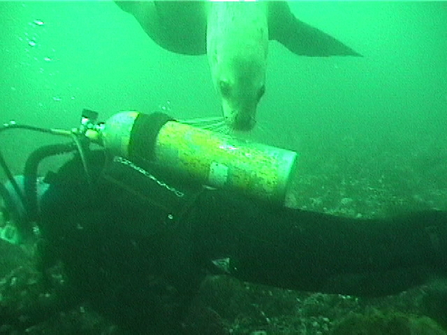
Pam and Jason from Archipelago Marine do their underwater survey of the projected path of the tidal energy cable. They monitor through the reef area at 10 meters depth, which was  not covered by the SIMS towed video. October 26, 2005 Frequent visits from sealions frequently distract Juan Carlos as he takes the video.


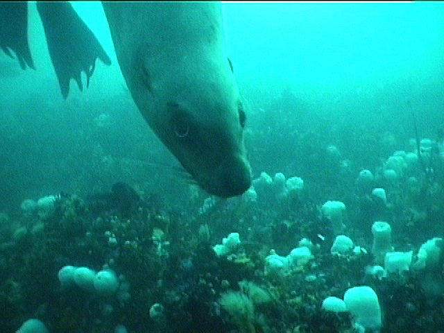
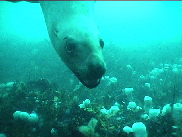
Scenes from the video

Ecological Monitoring for the Tidal Energy Generator

Pam and Jason from Archipelago Marine do their underwater survey of the location of the Piling Drilling for the Current Energy Project. They monitor area at ~18 meters depth. October 26, 2005Frequent visits from sealions frequently distract Juan Carlos as he takes the video.

See other archived video with Pearson College Divers

Statistics Assignments from Race Rocks Data

S


1.Seawater Temperature and Salinity in the Strait of Juan de Fuca

2. Air /precipitation Physical Data

3.Solar/UV Correlations file

4.Solar historical files

5. Doing statistics on Wind at Race Rocks

6. Doing statistics on Wind and Barometric Pressure correlations.

7. Statistics Lab on Mollusc measurements

8. Abalone measurements

9. The Christmas Bird Count

10. Black OysterCatcher predation

11. Wind and Barometric Pressure correlations

Purpose:
To transfer data from an EXCEL spreadsheet, (or equivalent program in other software) presented on the racerocks.com website to your own computer in order to be able to graph trends and analyze relationships.
Procedure :1. Open a blank workbook in EXCEL on your computer. Next open one of the files saved from EXCEL below and then with your cursor highlight the columns that you want to transfer to your open EXCEL workbook, and press COPY. ( If your computer is low on memory, you may have to close the web page before opening the EXCEL application.)

2. Copy and Paste the data from the web page directly into your blank EXCEL workbook.

3. You now have our original data on your machine and you can proceed to do any one of the many manipulations possible in the EXCEL program. You can also copy and paste in other month’s data in order to get a larger data set .

4. If you come up with a way of analyzing the data which is particularly creative, we would be interested in attaching it on racerocks.com. Just e-mail it as an attachment . e-mail: Garry Fletcher

5. You are welcome to use this data for educational purposes, you are just asked to reference the source as:
Lester B. Pearson College, racerocks.com

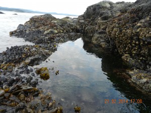
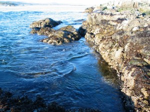
Tidepool # 6 “Anita’s Pool”

On the West side of Great Race Rocks is a tidepool that we have been observing for many years. Dr. Anita Brinckmann-Voss has done research on the seasonality of hydroids in this pool and it is published as:

 Brinckmann-Voss, A. 1996. Seasonality of Hydroids (Hydrozoa, Cnidaria) from an intertidal pool and adjacent subtidal habitats at Race Rocks, off Vancouver Island,Canada,
Scientia Marina Advances in Hydrozoan
Biology , Vol 60 (1):89-97

anitapool

Dr. Anita Brinckmann-Voss doing research on seasonality of Hydroids in Tidepool #6

Abstract:

An assemblage of 27 hydroid species was reported from a tide pool in the lower rocky intertidal zone, and compared with 42 hydroids of the adjacent subtidal region. Location of hydroids within the pool, seasonal occurence, growth and sexual maturity were tabulated, and some systematic aspects discussed. Possible causes of hydroid species diversity were considered, including location of the tide pool in an area of tidal rapids, and shading by surfgrass and rock cliffs during low tide

tpgf


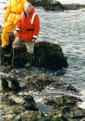
The unique feature about this pool is that it is deep enough – ( 1 meter) and it gets swells that refresh it even when the tide level is low. Garry is standing on the lip of the pool as the water from a swell spills out and cascades down to the lower level of the ocean.


Tidepool 6 at low tide

Tidepool 6 at low tide

Tidepool 6 at high tide

Tidepool 6 at high tide

TIDEPOOL6See this video on Tdepool 6 at High Tide:

see this link for other hydroids:  https://www.racerocks.ca/tag/hydroid/

BC Parks Impact Assessment Process Preliminary Screen Report for Electrical Cable installation

File No:   85700-35/0210206

BC Parks Impact Assessment Process 

Level 1, Preliminary Screen Report

Name of Action:    Installation of Electrical Cable Channel and Conduits at Race Rocks. 

Proponent:               Lester B Pearson College and Clean Current Power

Review Date(s):         May 17, 2005                                                                Page:  1of 3

  1. Issues and Environmental Components
  2. List any issues of concern that have been or may be raised by BC Parks, other government agencies, First Nations, or the public.
  • No habitat loss should take place.
  • Impacts that could potentially be damaging to other wildlife and plant communities as a result of  demolition/construction activities.
  1. Identify any geographic “hots pots” at or close to the proposed action (e.g., areas of high use, concentrations of facilities, wilderness conservation zones, unique landscape features).

The proposed location of the cable entry to the water from the island is represented below.
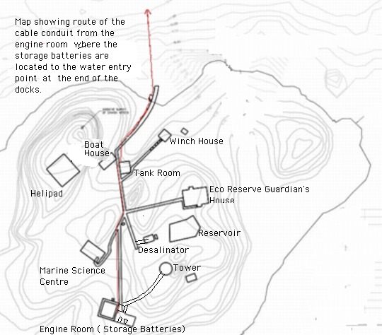
This would allow construction in the intertidal area during mid-May to mid-June in a location where there is already extensive human-created infrastructure, and where there is no impact to nesting birds. It also enables us to provide needed repair of the dock structure.
  1. Identify any important environmental, recreational, social or economic values in the area of the proposed action and/or the area surrounding the proposed action (e.g., rare or endangered species, hiking experience, midden site). Include a rationale as to why the value is considered important.
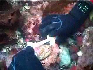
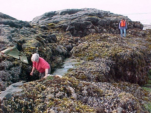
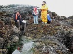
There are none of the above values with this route along the docks that could be considered an impediment. Pam Thuringer of Archipelago Marine did a survey of the area at low tide on May 12. She found no rare or significant species in the area that will not recover in a short period afterwards. Link to her species list here

Preliminary Screen Checklist Page:  2 of 3

Complete the following based on information available and/or the experience of BC Parks staff at the time of the review.

  1. BC Parks has a responsibility to comply with the following Acts and regulations. Indicate that the proposed action complies with the following: Done ( or N/A)
    Park Act, Park Amendment Acts Yes
    Ecological Reserve Act Yes
    An order issued under the Environmental Land Use Act n/a
    BC Environmental Assessment Act n/a
    Waste Management Act n/aHeritage Conservation Act (i.e., Archaeological Impact Assessment Guidelines) n/a
    Federal Fisheries Act (Department of Fisheries and Oceans) n/a
    Other (specify):
    Comments:
    BC Parks should ensure that all actions comply with BC Parks policies. Indicate that the proposed action complies with the following: Done
    Approved management plan or management direction statement (MDS)Yes
    BC Protected Areas Strategy: Resource and Recreation Use Guidelines for Protected AreasYes BC Parks Policy including conservation and recreation goals (Striking the Balance) Yes
    BC Parks Policies (specify):Eco reserves set aside for protection and research Yes
    BC Parks ConservationProgramPolicies yes
    BCParksAnnualManagementPlan (i.e.,values and targets)n/a
    Other (specify):
    Comments:
    Page:3 of 3 3.
    Document which agencies /stakeholders that have been or should be notified and/or contacted: yes” Done ( or N/A)
    Conservation Data Centre n/a Ministry of SRM (specify branch):
    Ministry of Forests (i.e., Range Act) n/a

Ministry of Energy and Mines (Mineral Tenure Act) n/a
Ministry of Health Services n/a>
First Nations Yes
Agencies responsible for broader level plans (i.e., Regional District, LRMP) n/a
Other (specify):
Comments (include name and title of contact):
The proposed action is likely to result in the following impacts (check all that apply) Done
(U or N/A)

Adverse and permanent effects on the important conservation, recreation and/or cultural heritage values n/a

Adverse and permanent effects on the character and aesthetics of the protected area n/a

Adverse effects to endangered, threatened or vulnerable or regionally significant species, populations and  habitats (i.e., red/blue-listed species/habitats, biogeoclimatic representation) U

Adverse effects to critical or geographically unique characteristics U

Adverse effects to public health and safety n/a

Adverse effects to traditional use of the area by First Nations n/a

Adverse effects to local communities n/a

Adverse effects to the recreational use or enjoyment of the park (regardless of the intended benefits of the proposed action) n/a

Economic implications, such as operating costs, that cannot be maintained over time n/a

A high level of controversy or public concern regarding the action n/a

Effects of the action, which when combined with the effects of other actions in the region, may result in cumulative impacts n/a

Implications which may be precedent-setting and should therefore be considered in the context of similar future actions n/a

Comments (use corresponding letters to refer to specific impacts listed above):

  1. Level 1 report should recommend appropriate times and methods for construction to ensure birds/wildlife impacts are kept to a minimum.
    to ensure birds/wildlife impacts are kept to a minimum.The site where the cable would enter the sea, is on the west side of the Jetty. This area can receive concrete cladding of a reinforced conduit right down to the end of the jetty, if concrete is poured at one of the upcoming low tides in the next month, in order to avoid pouring underwater.
    The proposal involves a protective conduit that can be bolted to the wall of the jetty. This same conduit would enter the water and carry the cable down to the depths, where intertidal damage from rolling rocks would not occur.
    A further advantage of this proposal is that we would require that the west wall of the jetty would re-enforced with concrete in order to repair some of the undermining of the jetty. In some areas this has gone in as far as 60 to 80 centimeters. That part of this erosion of the jetty could be the result of it not being fully filled in with new concrete when the jetty was partly rebuilt in 1986. It looks very much like the older exposed loose concrete and fill was the part that has eroded. The dock was constructed sometime pre-1950 on a rock finger projecting seaward.
    By using camera 5 remote control at  you can see this area easily if you choose the pre-selection of “Jetty”. By zooming in at low tide, the base of the dock can be seen almost to the end.
    Construction Method: Roma Construction is being contracted for the above water portion of the job.This job consists of two parts:

    Part a) Consists of immediate work, to commence within the next week, in order to take advantage of the upcoming sets of low tides during the daytime. A 6 inch solid conduit in 25’ sections (HDPE )  will be embedded in concrete for the length of the docks shown here in magenta. Removal of the surface coating of algae and sessile invertebrates will be done only in the area of the new concrete addition. Any large motile invertebrates will be displaced manually from the immediate area prior to the cleaning. No chemicals will be used in the cleaning process as a directed water jet should be adequate. The dock will be repaired along this side in the process, with holes and unstable portions filled in. Also included in this operation will be the inclusion of a 4 inch conduit for telemetry and cables as well as a 1.25 inch poly hose for water intake.

    Concrete will be made on site from materials transported to the island. Any debris created during the process will be hauled off the island for disposal.

    Chris Blondeau, operations manager and Garry Fletcher, Ecological Reserve Warden, will be on site to oversee the environmental concerns. In addition, Pam Thuringer and staff of Archipelago Marine have been contracted to do an ongoing environmental assessment for the duration of the construction phase of the project during the next year.