Nucella canaliculata: Channelled Dog Winkle–The Race Rocks Taxonomy

nucellac

Channelled Dog Winkle, Nucella canaliculata
The habitat of Nucella, is in the lower intertidal zone

 
Kingdom: Animalia
Phylum: Mollusca
Class: Gastropoda
Superfamily: Muricoidea
Family: Muricidae
Subfamily: Ocenebrinae
Genus: Nucella
Species: N. canaliculata
Nucella canaliculata (Duclos, 1832)
Other Members of the Phylum Mollusca at Race Rocks.

taxonomyiconReturn to the Race Rocks Taxonomy
and Image File
pearsonlogo2_f2The Race Rocks taxonomy is a collaborative venture originally started with the Biology and Environmental Systems students of Lester Pearson College UWC. It now also has contributions added by Faculty, Staff, Volunteers and Observers on the remote control webcams.


Nucella emarginata: emarginate dog winkle, The Race Rocks Taxonomy

nucellahab3

The habitat of Nucella, on the middle intertidal

nucellanita-1

Anita inspects the Nucella clustered in this area.

Domain Eukarya
Kingdom: Animalia
Phylum: mollusca
Class: gastropoda
Superfamily :Muricoidea
Family: Muricidae
Subfamily: Ocenebrinae
Genus: Nucella
Species: emarginata
Common Name: emarginate dog winkle


Other Members of the Phylum Mollusca at Race Rocks.

taxonomyiconReturn to the Race Rocks Taxonomy
and Image File
pearsonlogo2_f2The Race Rocks taxonomy is a collaborative venture originally started with the Biology and Environmental Systems students of Lester Pearson College UWC. It now also has contributions added by Faculty, Staff, Volunteers and Observers on the remote control webcams.


Calliostoma annulatum: Top snail–The Race Rocks Taxonomy

Conical shell usually orange-yellow, dotted with brown and with a bright purple or violet band encircling the lower edge of each whorl, with 8 or 9 whorls; body of living animal orange, with brown dorsal spots. Size to 30 mm height.

Range: Alaska south to Baja California. They occur very rarely at Race Rocks. They are more common however on the islands to the West, Church Island and the Bedfords in Beecher bay, and as in the photo below , Secretary Island, outside of Sooke harbour.

Unicode

Unicode

This photo was taken on Secretary Island, several kilometres west of Race Rocks where this species occurs more frequently than at Race Rocks. Chris Blondeau captured the snail grazing on a clump of Plumularia hydroid.

Conical shell usually orange-yellow, dotted with brown and with a bright purple or violet band encircling the lower edge of each whorl, with 8 or 9 whorls; body of living animal orange, with brown dorsal spots. Size to 30 mm height.

Range: Alaska south to Baja California. They occur very rarely at Race Rocks. They are more common however on the islands to the West, Church Island and the Bedfords in Beecher bay,and as in the above photo, Secretary Island , outside of Sooke harbour.

Habitat: on the open coast. Calliostoma annulatum reportedly moves up the kelp stipes to near the sea surface in ‘bright weather’ and descends under other conditions. These animals can move rapidly.

It’s an omnivore. In the spring the food is mainly the kelp itself; the snail prefers animal foods when these are available especially hydroids (e.g. Obelia sertularians) and encrusting bryozoans (Membranipora; Hippothoa), Detritus and some diatoms and copepods are taken, too.On the sea floor, they take some of the cnidarian Corynactis californica and scavenge on dead fish. In aquaria, the snails have been seen to eat hydroids, the anemone Epiactis prolifera, the stalked jellyfish Haliclystis, dead nudibranchs (Polycera atra), dead keyhole limpets (Diadora ), dead chitons, nudibranchs eggs, and other items, including even canned dog food. Although jaws are often poorly developed in the Trochidae, observations by Paron (1975) suggest that they play an important role here. Hydroids stems in the gut often appeared ‘neatly cut into short segments’. Further when attacking anemones, Calliostoma annulatum after initial contact, ‘would rear up on its metapodium, expand its lips, and suddenly lunge forward while bitting at one of the anemone’s tentacles. A dorid nudibranch was also attacked in this way.

The shell bears a layer of mucus which makes it slippery and not easily held by potential predators.

Reproduction: Males usually spawn first. Green eggs, each in clear envelopess and a gelatinous coat thick, are shed in a soft gelatinous coating. In the San Juan Archipelago, specimens collected June-August may spawn if placed in sea water at 18-22 C
Domain Eukarya
Kingdom Animalia
Phylum Mollusca
Class Gastropoda
Subclass Prosobranchia
Order Archaeogastropoda
Superfamily Trochacea
Family Trochidae
Genus Calliostoma
Species
annulatum
Common Name: Top snail or Top shell

References:

Harbo, R. 1997. Shells & Shellfish of the Pacific Northwest -A field guide.- -Pg. 75-. Harbour Publishing.
Kozloff, E. N. 1996. Marine Invertebrates of the Pacific Northwest Coast -Pg. 203-. University of Washington.
Morris, R.H., Abbott, D, and Haderlie. 1980. Intertididal Invertebrates of California. -Pg. 250-. Stanford University Press, Stanford California.
Strathmann, M. 1987. Reproduction and Development of Marine Invertebrates of the Northern Pacific Coast. Data and Methods for the Study of Eggs, Embryos, and Larvae. -Pg. 233-234-. University of Washington Press.
Other Members of the Phylum Mollusca at Race Rocks.

taxonomyiconReturn to the Race Rocks Taxonomy
and Image File
pearsonlogo2_f2The Race Rocks taxonomy is a collaborative venture originally started with the Biology and Environmental Systems students of Lester Pearson College UWC. It now also has contributions added by Faculty, Staff, Volunteers and Observers on the remote control webcams.

Feb. 2002 Maria Belen Seara PC yr 28

Calliostoma ligatum: Blue top snail–The Race Rocks taxonomy

topsnail
Calliostoma ligatum surrounded by Epiactis or brooding anemone.

Size: To 1″(25mm)diameter

Screen Shot 2016-07-25 at 9.05.20 PM

Upper left is Caliostoma ligatum photo by Ryan Murphy

Range: Northern B.C. South to California. This species is very common subtidally and intertidally at Race Rocks. It is common in rocky areas and kelp beds to 100′(30m) and deeper, among algae and under rocks.

At RaceRocks it is frequently used as a dwelling by small hermit crabs.
Domain Eukarya
Kingdom Animalia
Phylum Mollusca
Class Gastropoda
Subclass Prosobranchia
Order Archaeogastropoda
Family Calliostomatidae
Genus Calliostoma
Species ligatum
Common Name: Blue top snail


Food: Omnivorous feeding on hydroids, bryozoans, detritus and diatoms.This common and abundant species also eats compound tuncates and sponges

Comments:. It exhibits an escape response to the ochre sea star Pisaster ochraceus .
Other Members of the Phylum Mollusca at Race Rocks.

taxonomyiconReturn to the Race Rocks Taxonomy
and Image File
pearsonlogo2_f2The Race Rocks taxonomy is a collaborative venture originally started with the Biology and Environmental Systems students of Lester Pearson College UWC. It now also has contributions added by Faculty, Staff, Volunteers and Observers on the remote control webcams.


Dec. 2002 Carmen Zana (PC yr29)

Fusitriton oregonensis: Hairy Oregon Triton–The Race Rocks Taxonomy

General Description: The Hairy Oregon Triton is the largest intertidal snail on the west coast. Measuring from 100 – 150mm in length. Containing 5 -6 whorls the outside of the shell is covered with thick dark brown hairy periostracum. It was first discovered in 1848 by Redfield. The state of Oregon proclaimed the Hairy Oregon Triton its state shell because of its honourable heritage and its attractive shell.

Domain Eukarya
Kingdom Animalia
Phylum Mollusca
Class Gastropoda
Order Mesigastropoda
Family Cymatiidae
Genus Fusitriton
Species oregonensis
Common Name: Hairy Oregon Triton

Reproduction: Each triton is one gender. Pairing of tritons occurs from spring to the end of July. After mating the female tritons lay the eggs on vertical surfaces and under rock ledges. The eggs are placed in rectangular capsules in a spiral pattern. Each capsule contains 1600- 2000 eggs. Eggs measure about 150 um (micrometres). Upon hatching, the veligers a form of planktonic larvae, take about 12 weeks before beginning to scavenge for themselves.

Habitat: The Hairy Oregon Triton lives in from the intertidal zone to 90m depth. Living from Alaska to as far south as San Diego, California. Primarily living on rocks, but will also live on sandy areas. The Hairy Oregon Triton lives in both areas of high wave exposure and sheltered areas.

Feeding: This predatory carnivorous snail eats primarily tunicates and ascidians but also chitons and sea urchins, some scientists suspect it maybe a carnivorous scavenger as well. Like many other whelks, this triton drills through the shell of its prey using its radula.

Predators: The main predator of the Hairy triton is the sea star. As it is a well defended snail with a thick shell and its operculum, most predators find it too difficult to kill.

Interesting Associations: The shell of the triton will often be occupied by large hermit crabs particularly the species after their death.
References Cited:

Edward F. Ricketts, Jack Calvin, and Joel W. Hedgpeth, Between Pacific Tides,1985

Eugene N. Kozloff, Marine Inverebrates of the Pacific Northwest, 1996

Megumi F. Strathmann, Reproduction and Development of Marine Invertebrates of the Northern Pacific Coast, 1987
Other Members of the Phylum Mollusca at Race Rocks.

taxonomyiconReturn to the Race Rocks Taxonomy
and Image File
pearsonlogo2_f2The Race Rocks taxonomy is a collaborative venture originally started with the Biology and Environmental Systems students of Lester Pearson College UWC. It now also has contributions added by Faculty, Staff, Volunteers and Observers on the remote control webcams.


Dec. 2001 Joshua Vanwyck, PC yr. 28

Underwater testing of materials to be used in the Tidal current energy project

Below: Installation of the Fouling Plates by Chris Blondeau and Pearson College Diving Students in July, 2005. This video shows the installation process for the research project carried out to determine which surfaces discouraged growth in the waters at Race Rocks.


In the spring of 2005, a set of plates made up of 5 different materials and coatings was deployed in the centre of the main channel, straight out from the docks at Race Rocks. This is the result on Nov 2005 results- (qualitative)


ONE YEAR LATER June 09, 2006


Jetty Repair at Race Rocks-2005

Mike and Carol Slater who were Ecoguardians of Race Rocks at the time took this set of images on the process that was used to repair the Jetty at Race Rocks. There had been serious undercutting and erosion on the West side of the docks so it had to be fixed to avoid total collapse.  There are 56 images of the work in this pdf:

Race_Rocks_Dock_Repair-2005


BC Parks Impact Assessment Process Preliminary Screen Report for Electrical Cable installation

File No:   85700-35/0210206

BC Parks Impact Assessment Process 

Level 1, Preliminary Screen Report

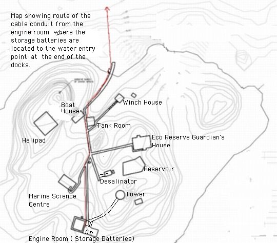
Name of Action:    Installation of Electrical Cable Channel and Conduits at Race Rocks. 

Proponent:               Lester B Pearson College and Clean Current Power

Review Date(s):         May 17, 2005                                                                Page:  1of 3

  1. Issues and Environmental Components
  2. List any issues of concern that have been or may be raised by BC Parks, other government agencies, First Nations, or the public.
  • No habitat loss should take place.
  • Impacts that could potentially be damaging to other wildlife and plant communities as a result of  demolition/construction activities.
  1. Identify any geographic “hots pots” at or close to the proposed action (e.g., areas of high use, concentrations of facilities, wilderness conservation zones, unique landscape features).

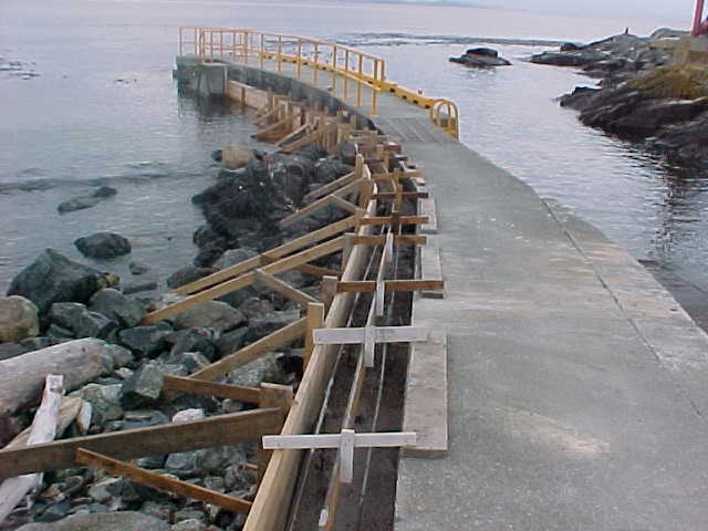
The proposed location of the cable entry to the water from the island is represented below.

This would allow construction in the intertidal area during mid-May to mid-June in a location where there is already extensive human-created infrastructure, and where there is no impact to nesting birds. It also enables us to provide needed repair of the dock structure.

  1. Identify any important environmental, recreational, social or economic values in the area of the proposed action and/or the area surrounding the proposed action (e.g., rare or endangered species, hiking experience, midden site). Include a rationale as to why the value is considered important.

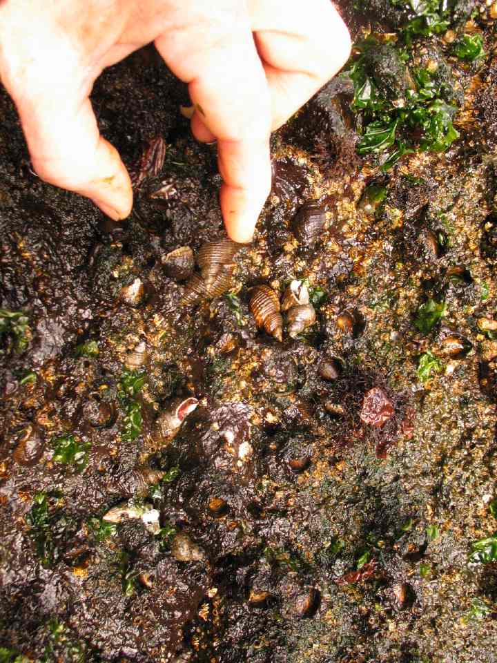
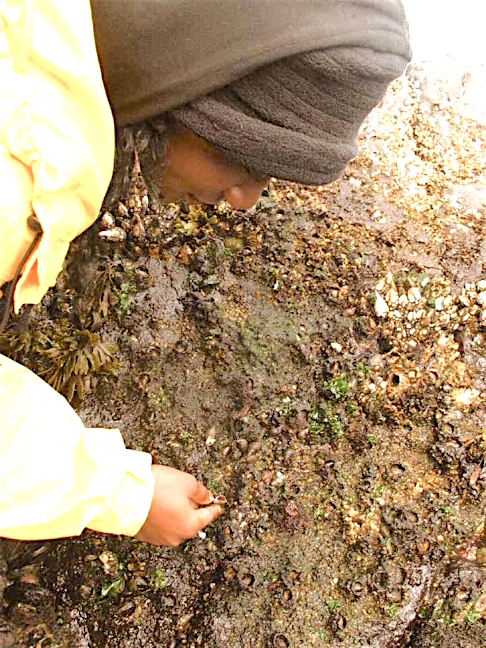
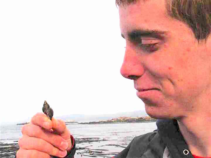
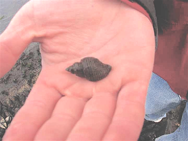
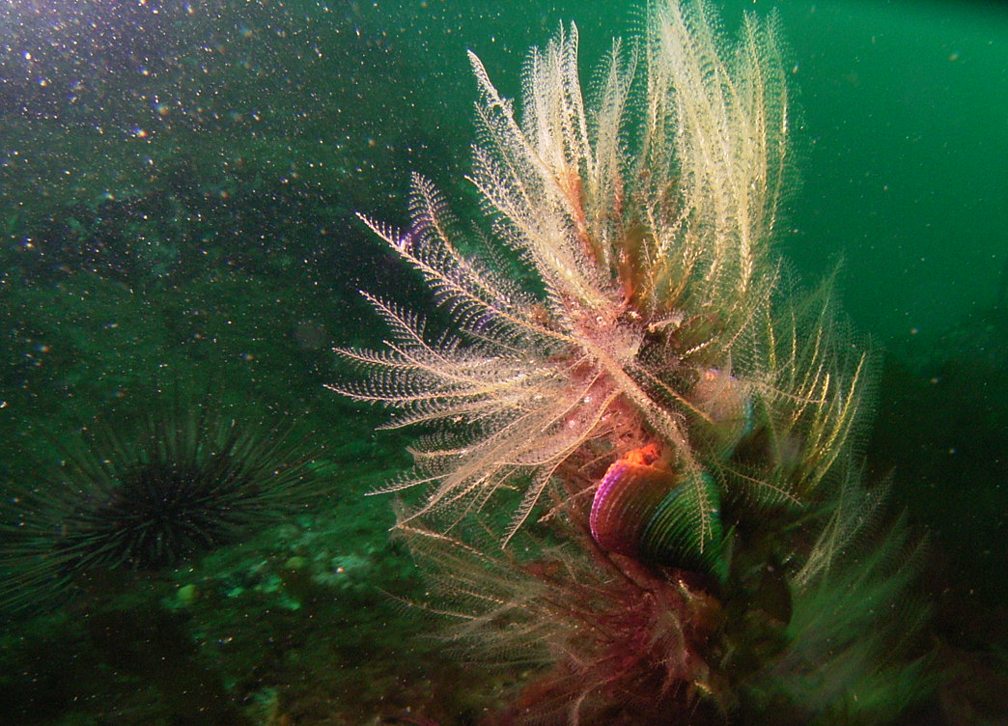
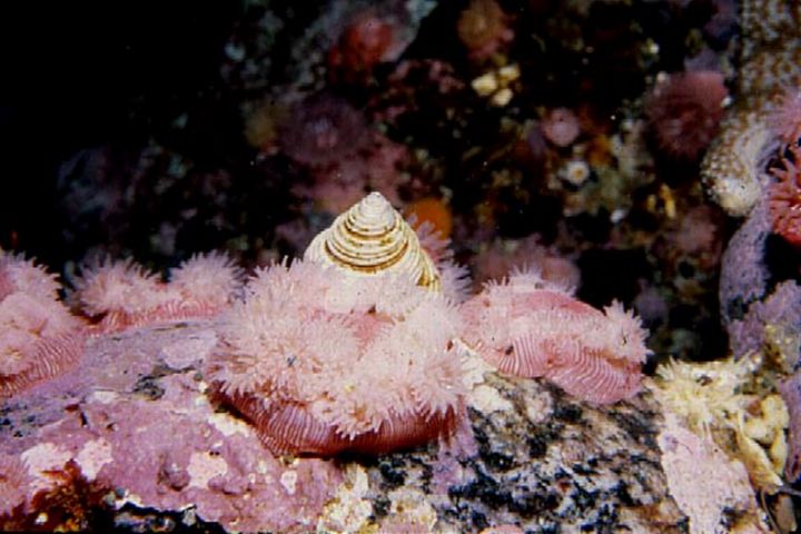
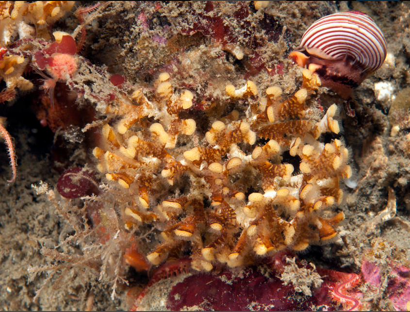
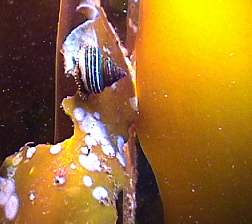
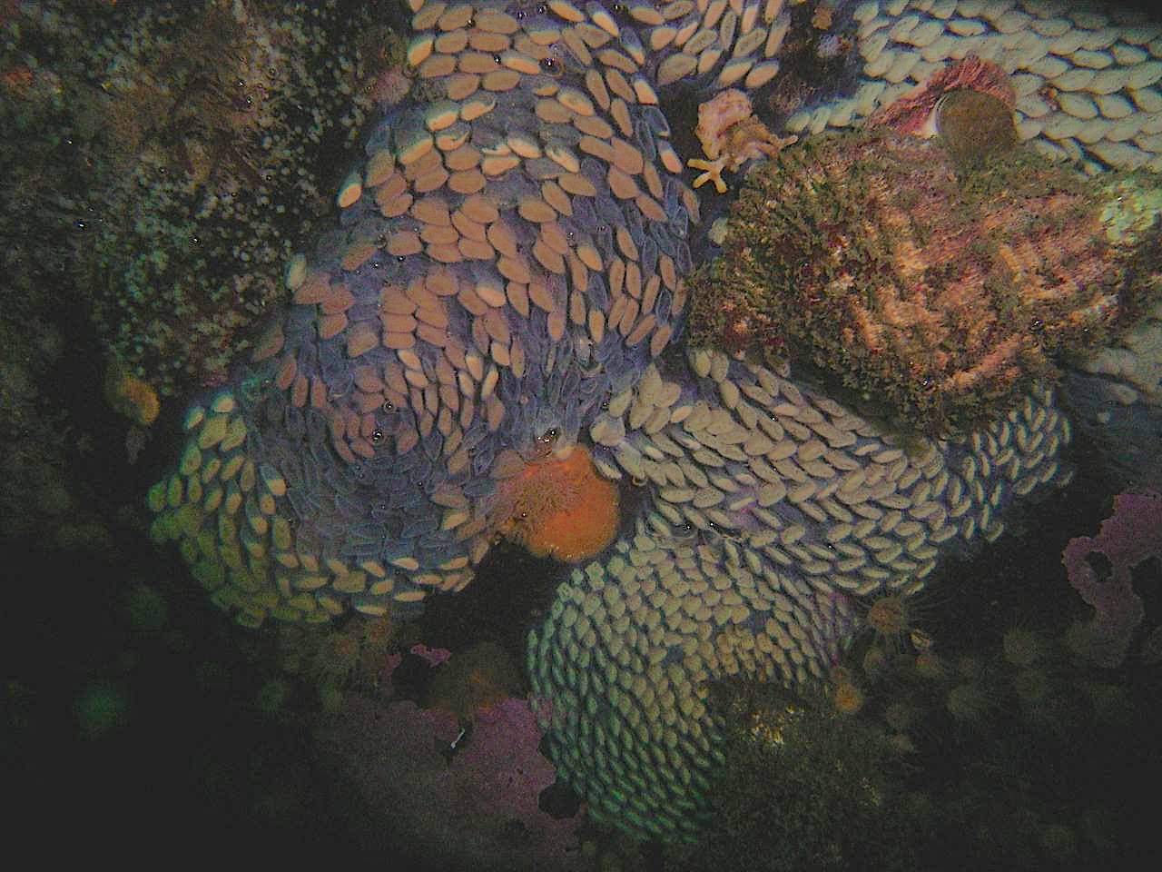
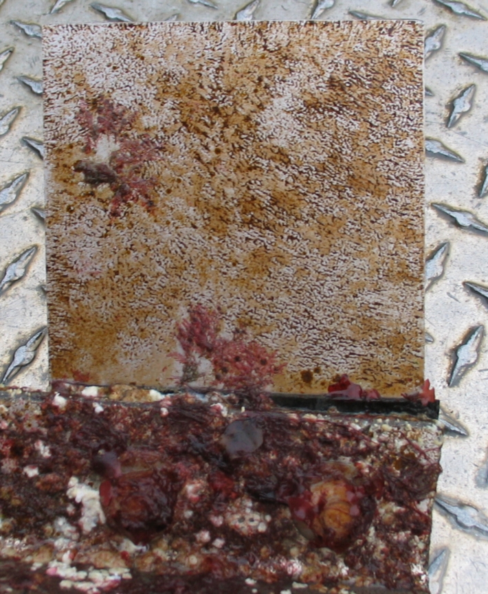
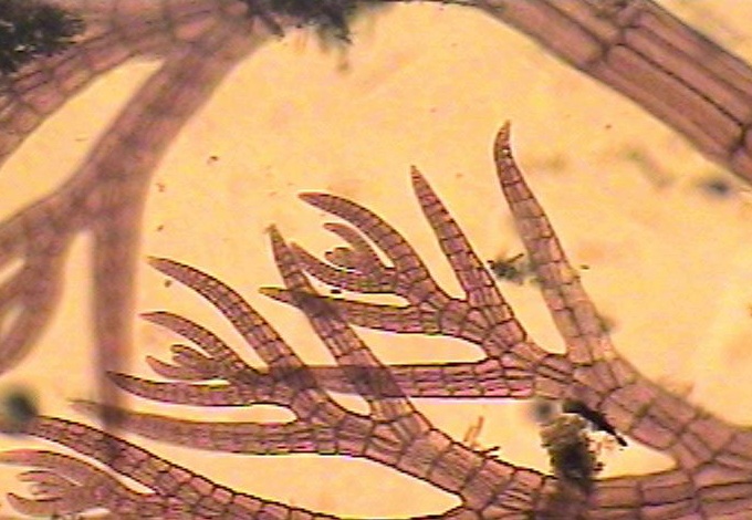
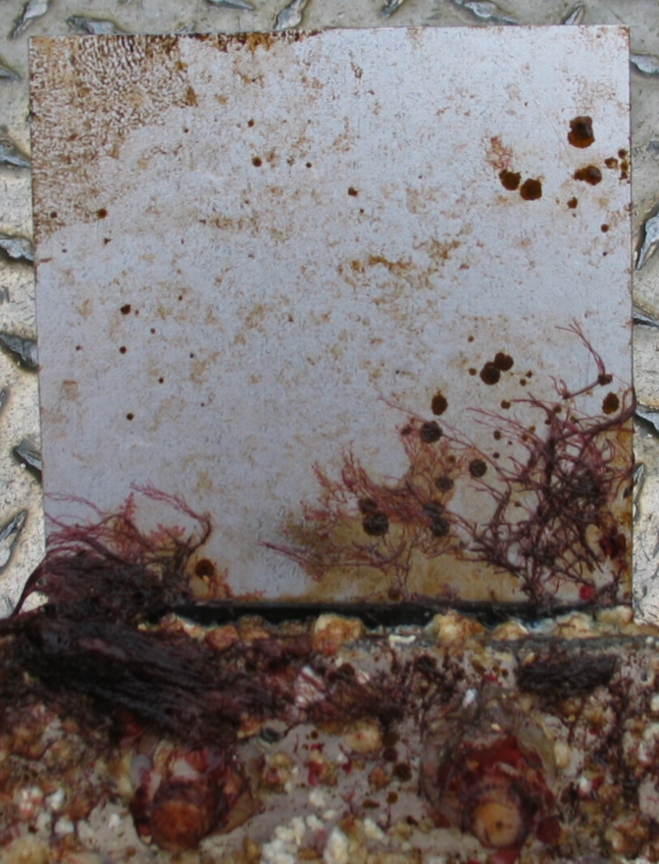
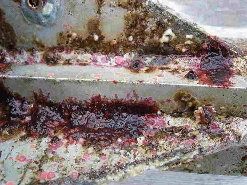
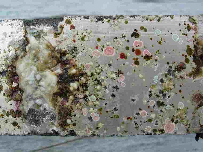
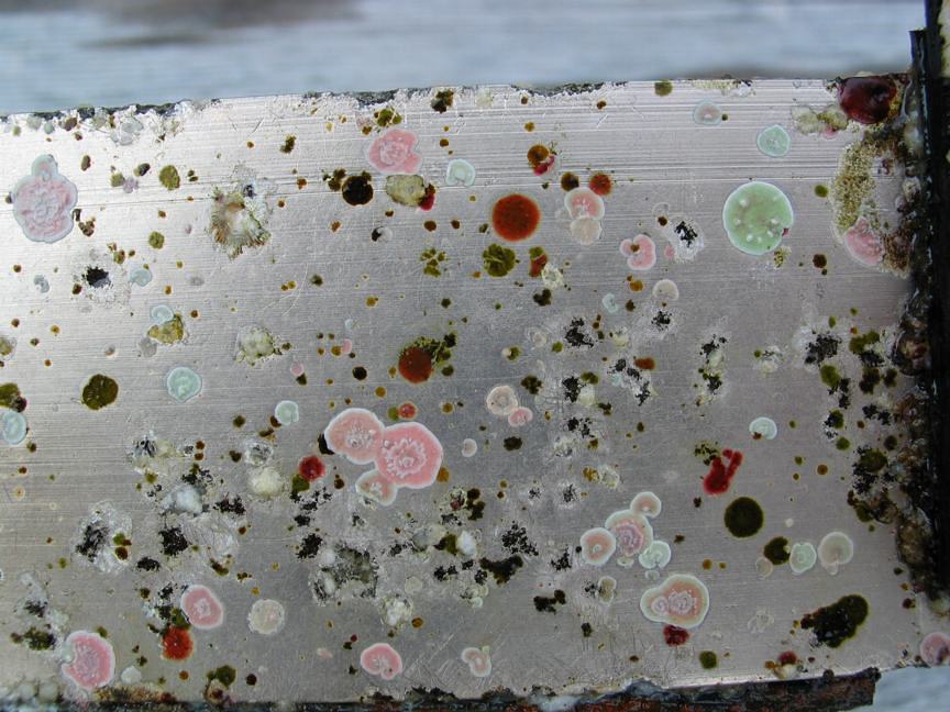
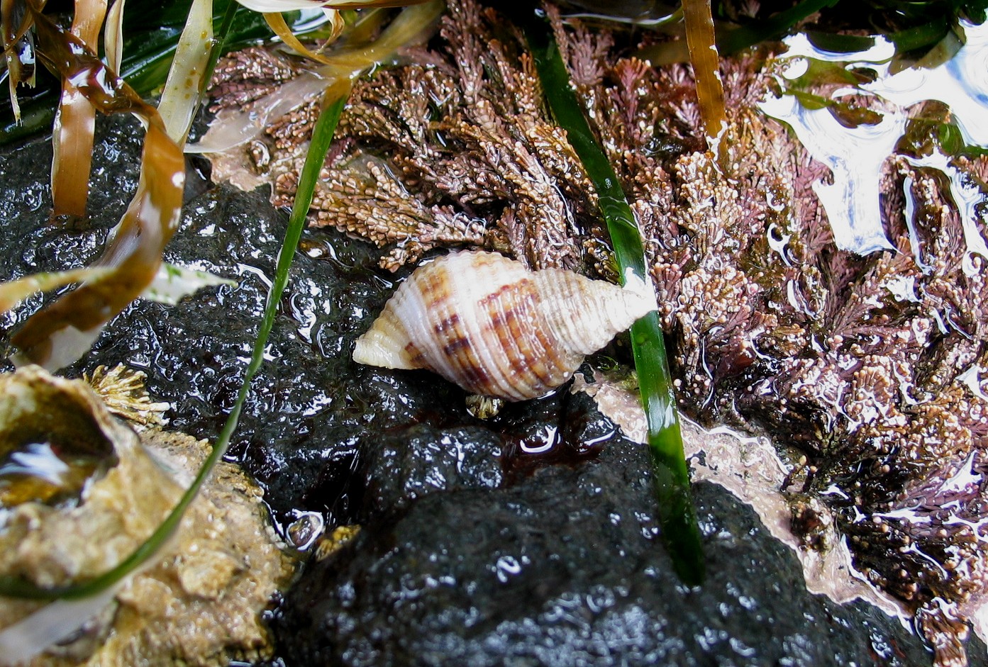
There are none of the above values with this route along the docks that could be considered an impediment. Pam Thuringer of Archipelago Marine did a survey of the area at low tide on May 12. She found no rare or significant species in the area that will not recover in a short period afterwards. Link to her species list here

Preliminary Screen Checklist Page:  2 of 3

Complete the following based on information available and/or the experience of BC Parks staff at the time of the review.

  1. BC Parks has a responsibility to comply with the following Acts and regulations. Indicate that the proposed action complies with the following: Done ( or N/A)
    Park Act, Park Amendment Acts Yes
    Ecological Reserve Act Yes
    An order issued under the Environmental Land Use Act n/a
    BC Environmental Assessment Act n/a
    Waste Management Act n/aHeritage Conservation Act (i.e., Archaeological Impact Assessment Guidelines) n/a
    Federal Fisheries Act (Department of Fisheries and Oceans) n/a
    Other (specify):
    Comments:
    BC Parks should ensure that all actions comply with BC Parks policies. Indicate that the proposed action complies with the following: Done
    Approved management plan or management direction statement (MDS)Yes
    BC Protected Areas Strategy: Resource and Recreation Use Guidelines for Protected AreasYes BC Parks Policy including conservation and recreation goals (Striking the Balance) Yes
    BC Parks Policies (specify):Eco reserves set aside for protection and research Yes
    BC Parks ConservationProgramPolicies yes
    BCParksAnnualManagementPlan (i.e.,values and targets)n/a
    Other (specify):
    Comments:
    Page:3 of 3 3.
    Document which agencies /stakeholders that have been or should be notified and/or contacted: yes” Done ( or N/A)
    Conservation Data Centre n/a Ministry of SRM (specify branch):
    Ministry of Forests (i.e., Range Act) n/a

Ministry of Energy and Mines (Mineral Tenure Act) n/a
Ministry of Health Services n/a>
First Nations Yes
Agencies responsible for broader level plans (i.e., Regional District, LRMP) n/a
Other (specify):
Comments (include name and title of contact):
The proposed action is likely to result in the following impacts (check all that apply) Done
(U or N/A)

Adverse and permanent effects on the important conservation, recreation and/or cultural heritage values n/a

Adverse and permanent effects on the character and aesthetics of the protected area n/a

Adverse effects to endangered, threatened or vulnerable or regionally significant species, populations and  habitats (i.e., red/blue-listed species/habitats, biogeoclimatic representation) U

Adverse effects to critical or geographically unique characteristics U

Adverse effects to public health and safety n/a

Adverse effects to traditional use of the area by First Nations n/a

Adverse effects to local communities n/a

Adverse effects to the recreational use or enjoyment of the park (regardless of the intended benefits of the proposed action) n/a

Economic implications, such as operating costs, that cannot be maintained over time n/a

A high level of controversy or public concern regarding the action n/a

Effects of the action, which when combined with the effects of other actions in the region, may result in cumulative impacts n/a

Implications which may be precedent-setting and should therefore be considered in the context of similar future actions n/a

Comments (use corresponding letters to refer to specific impacts listed above):

  1. Level 1 report should recommend appropriate times and methods for construction to ensure birds/wildlife impacts are kept to a minimum.
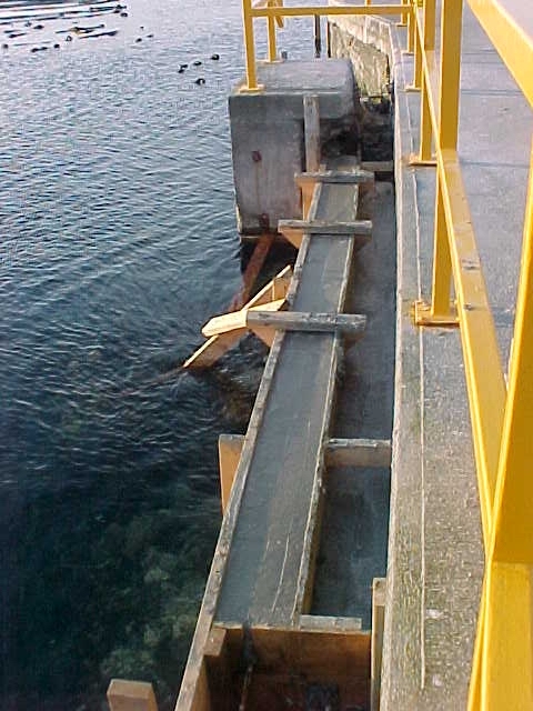
    to ensure birds/wildlife impacts are kept to a minimum.The site where the cable would enter the sea, is on the west side of the Jetty. This area can receive concrete cladding of a reinforced conduit right down to the end of the jetty, if concrete is poured at one of the upcoming low tides in the next month, in order to avoid pouring underwater.
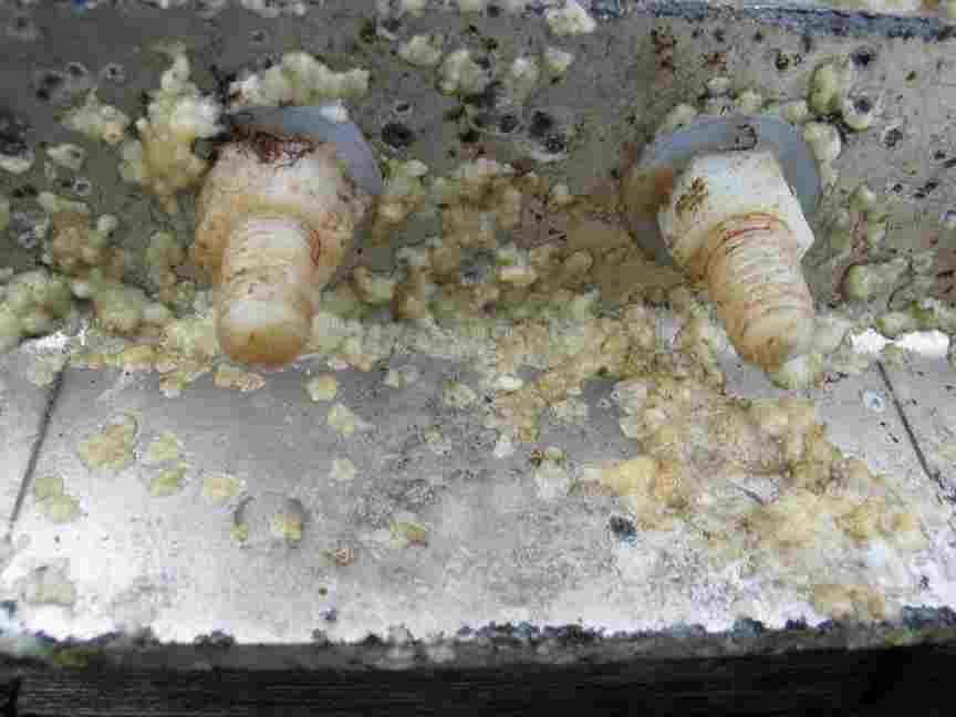
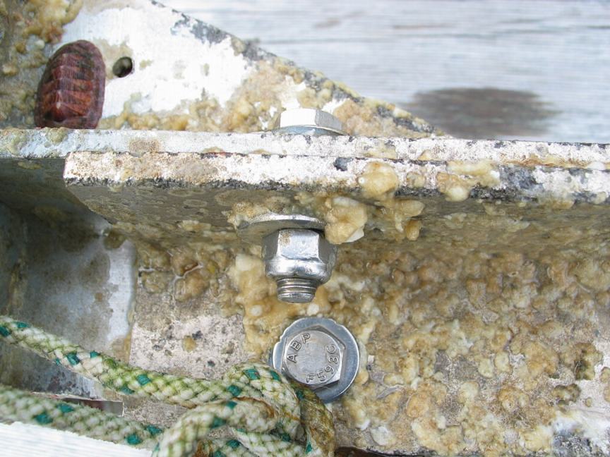
    The proposal involves a protective conduit that can be bolted to the wall of the jetty. This same conduit would enter the water and carry the cable down to the depths, where intertidal damage from rolling rocks would not occur.
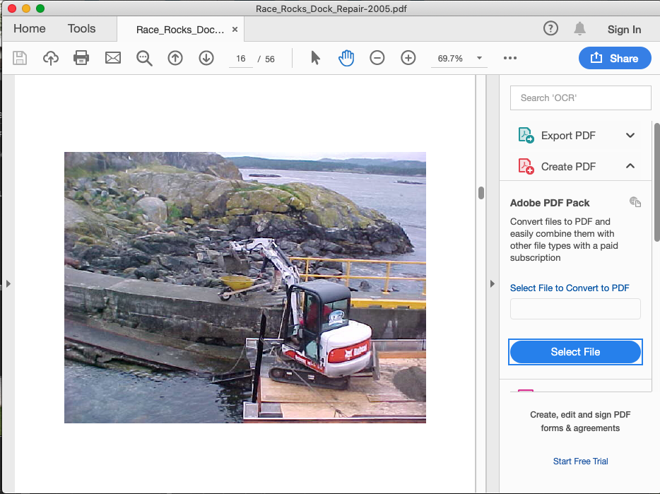
    A further advantage of this proposal is that we would require that the west wall of the jetty would re-enforced with concrete in order to repair some of the undermining of the jetty. In some areas this has gone in as far as 60 to 80 centimeters. That part of this erosion of the jetty could be the result of it not being fully filled in with new concrete when the jetty was partly rebuilt in 1986. It looks very much like the older exposed loose concrete and fill was the part that has eroded. The dock was constructed sometime pre-1950 on a rock finger projecting seaward.
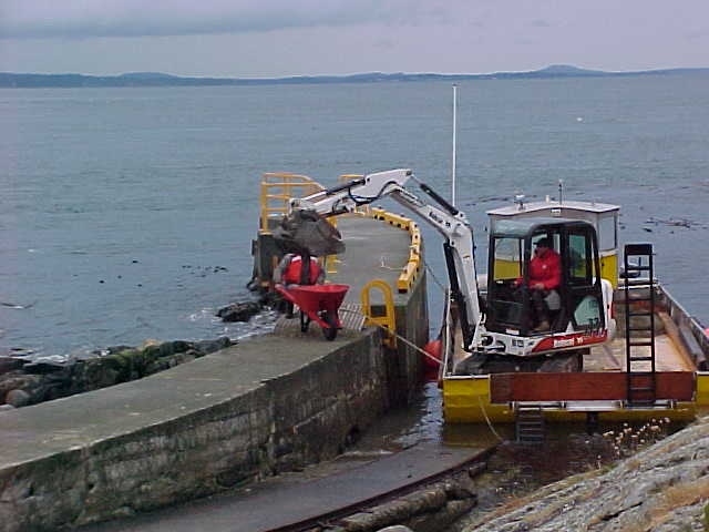
    By using camera 5 remote control at  you can see this area easily if you choose the pre-selection of “Jetty”. By zooming in at low tide, the base of the dock can be seen almost to the end.
    Construction Method: Roma Construction is being contracted for the above water portion of the job.This job consists of two parts:

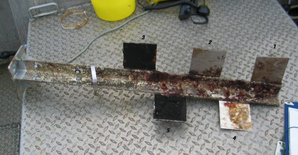
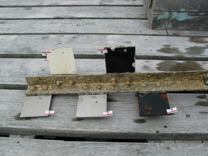
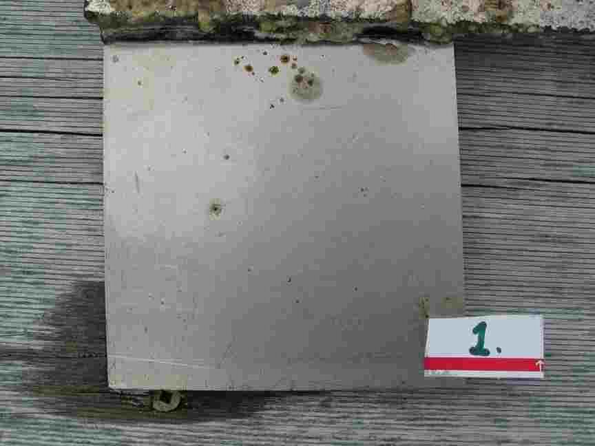
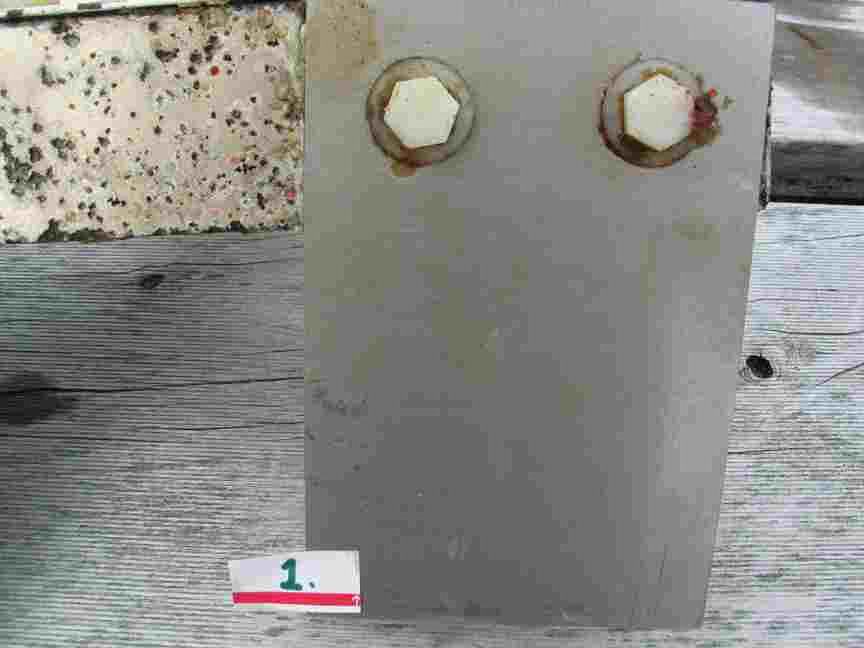
    Part a) Consists of immediate work, to commence within the next week, in order to take advantage of the upcoming sets of low tides during the daytime. A 6 inch solid conduit in 25’ sections (HDPE )  will be embedded in concrete for the length of the docks shown here in magenta. Removal of the surface coating of algae and sessile invertebrates will be done only in the area of the new concrete addition. Any large motile invertebrates will be displaced manually from the immediate area prior to the cleaning. No chemicals will be used in the cleaning process as a directed water jet should be adequate. The dock will be repaired along this side in the process, with holes and unstable portions filled in. Also included in this operation will be the inclusion of a 4 inch conduit for telemetry and cables as well as a 1.25 inch poly hose for water intake.

    Concrete will be made on site from materials transported to the island. Any debris created during the process will be hauled off the island for disposal.

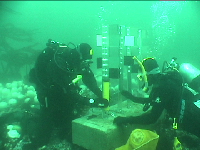
    Chris Blondeau, operations manager and Garry Fletcher, Ecological Reserve Warden, will be on site to oversee the environmental concerns. In addition, Pam Thuringer and staff of Archipelago Marine have been contracted to do an ongoing environmental assessment for the duration of the construction phase of the project during the next year.
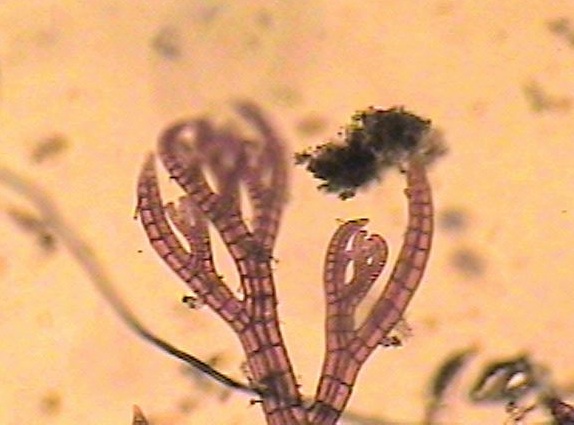
BC Parks Preliminary EIA for Dock Species.

This list was compiled by Pam Thuringer of Archipelago Marine on May12, 2005. She examined the west side of the docks exposed at a 0.35m tide. This is the area that will be impacted by the construction of the conduit to carry electrical cables from the Tidal Current generator up to the island,

General Group Species Occurence
Brn. Algae Nereocystis luetkeana sparse
Fucus sp. sparse
Leathesia difformis sparse
Hedophyllum sessile abundant
Alaria marginata abundant
Costaria costata few
Red Algae Mazzaella splendans few
Mastocarpus pappilatus sparse
Halosaccion glandiforme few
Lithothamnion sp. few
Odonthalia floccosa sparse
Polysiphonia sp. sparse
Coralline algae. several species sparse
Porphyra perforata sparse
Endocladia muricata sparse
Green Algae Ulva sp. sparse
Acrosiphonia sp. few
Invertebrates Balanus glandula many
Semibalanus cariosus many
Hemigrapsus nudis few
Mytilus californianus few
Sponge ( orange encrusting species) few
Katharina tunicata few
Littorina scutulata many
Tectura persona few
Lottia pelta few
Anthopleura elegantissima few
Lirubuccinum dirum few

Blue water Diving — Pearson College Divers

Henry Steinberg, Julia Clarke and Laura Verhegge do their first tether dive with Chris off the shores of Race Rocks in Race Passage. The apparatus for the dive was constructed by Henry Steinberg, a Pearson College diver, as part of a project in his PADI Divemasters course. This type of diving is useful for research purposes when one wants to sample jellyfish, salps or other macro-planktonic life forms which may otherwise be damaged if collected in a towed plankton net. It is also necessary as a safety measure for drift diving when the bottom is beyond safety limits, and there are currents involved such as here in the Strait of Juan de Fuca.