Chaos and Creatures!

Today was so action packed I’m not even sure where to begin!

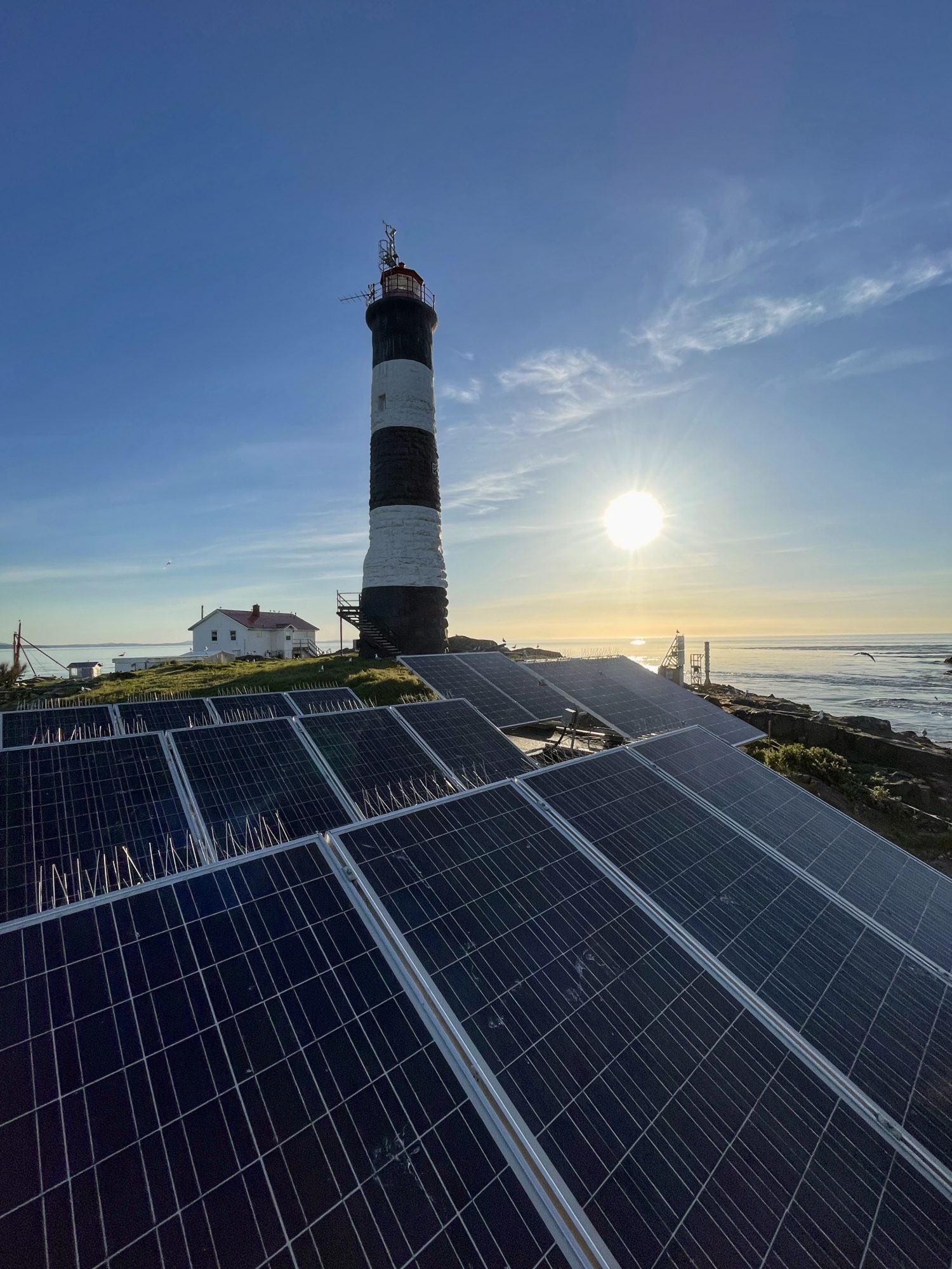
I woke up just after sunrise as I knew today was going to be busy and I wanted to get a few tasks out of the way. At 6am it was already warm out with barely a breeze. The ocean was glassy as I cleaned the solar panels – which were yet again decorated by the birds.

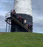
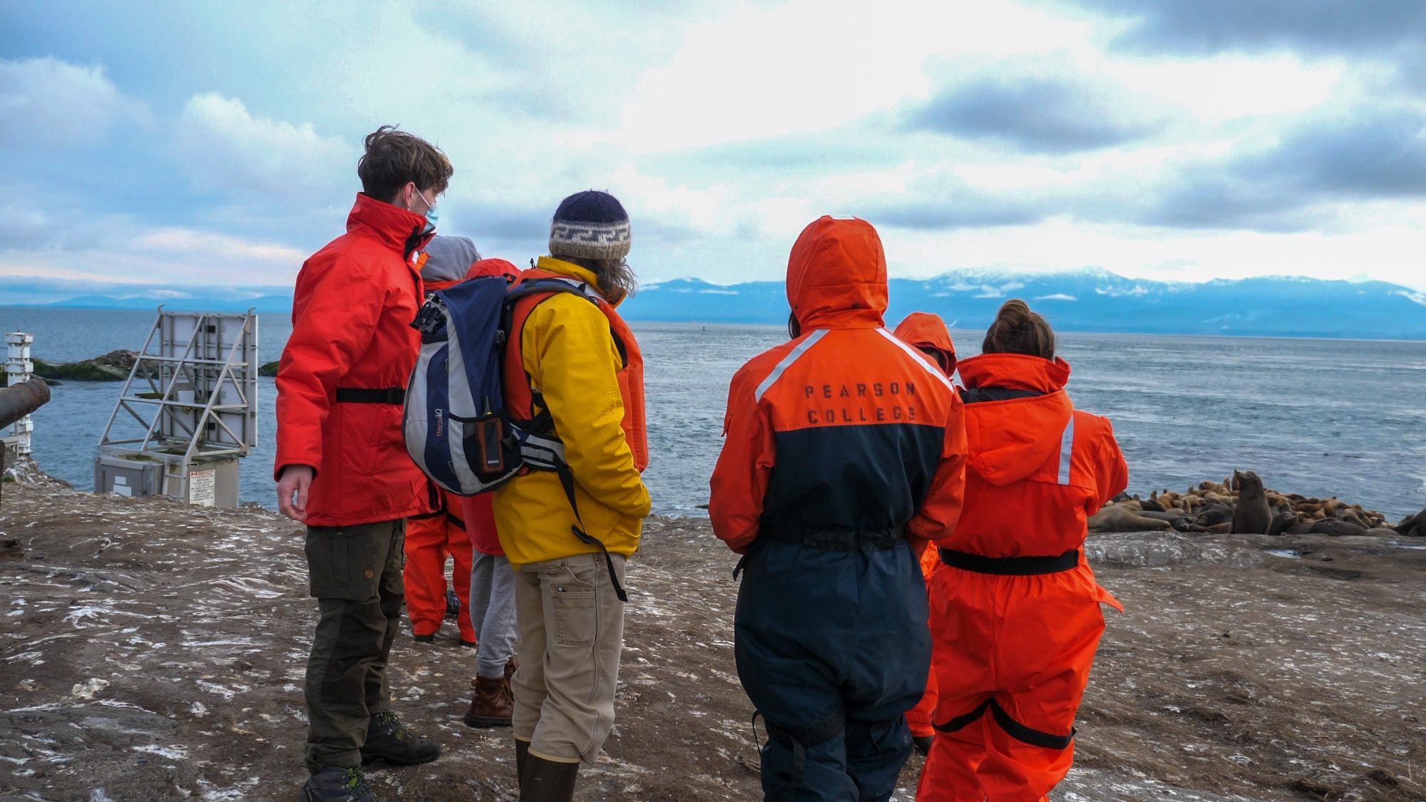
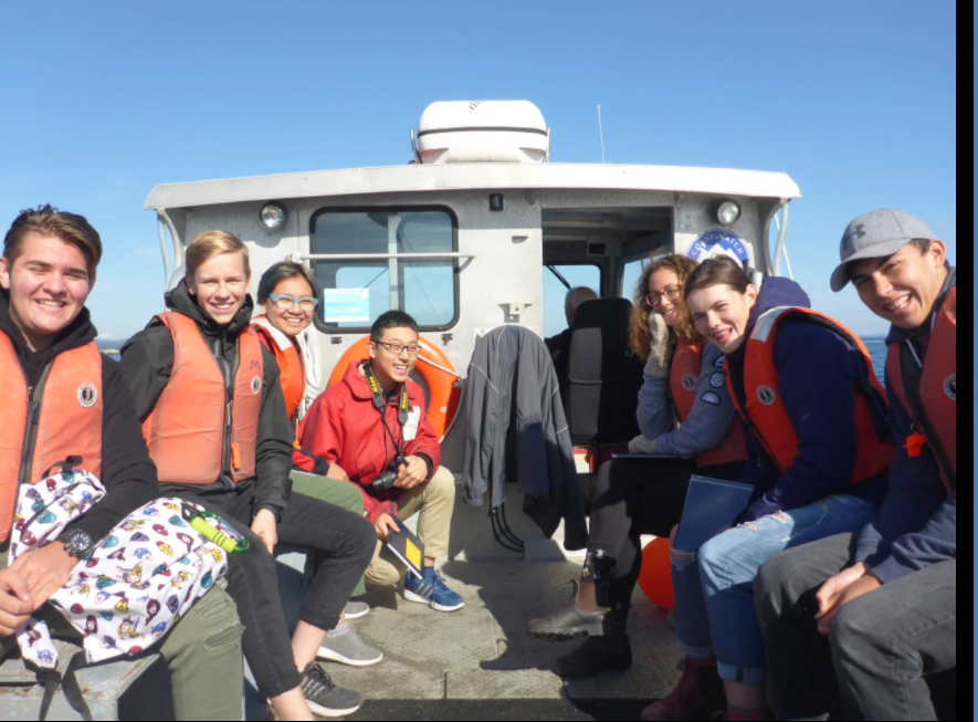
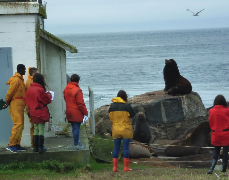
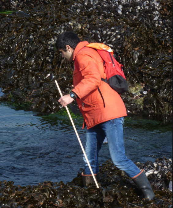
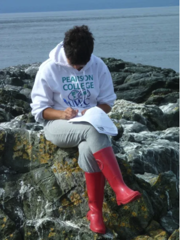
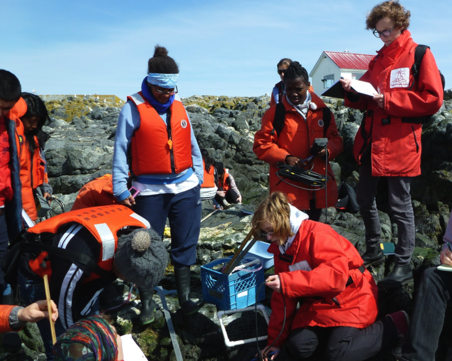
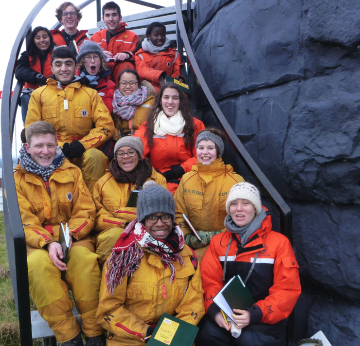
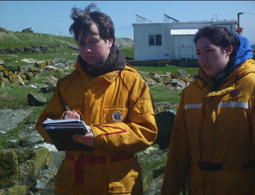
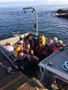
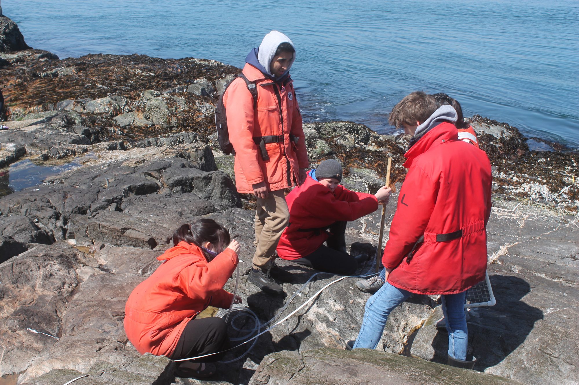
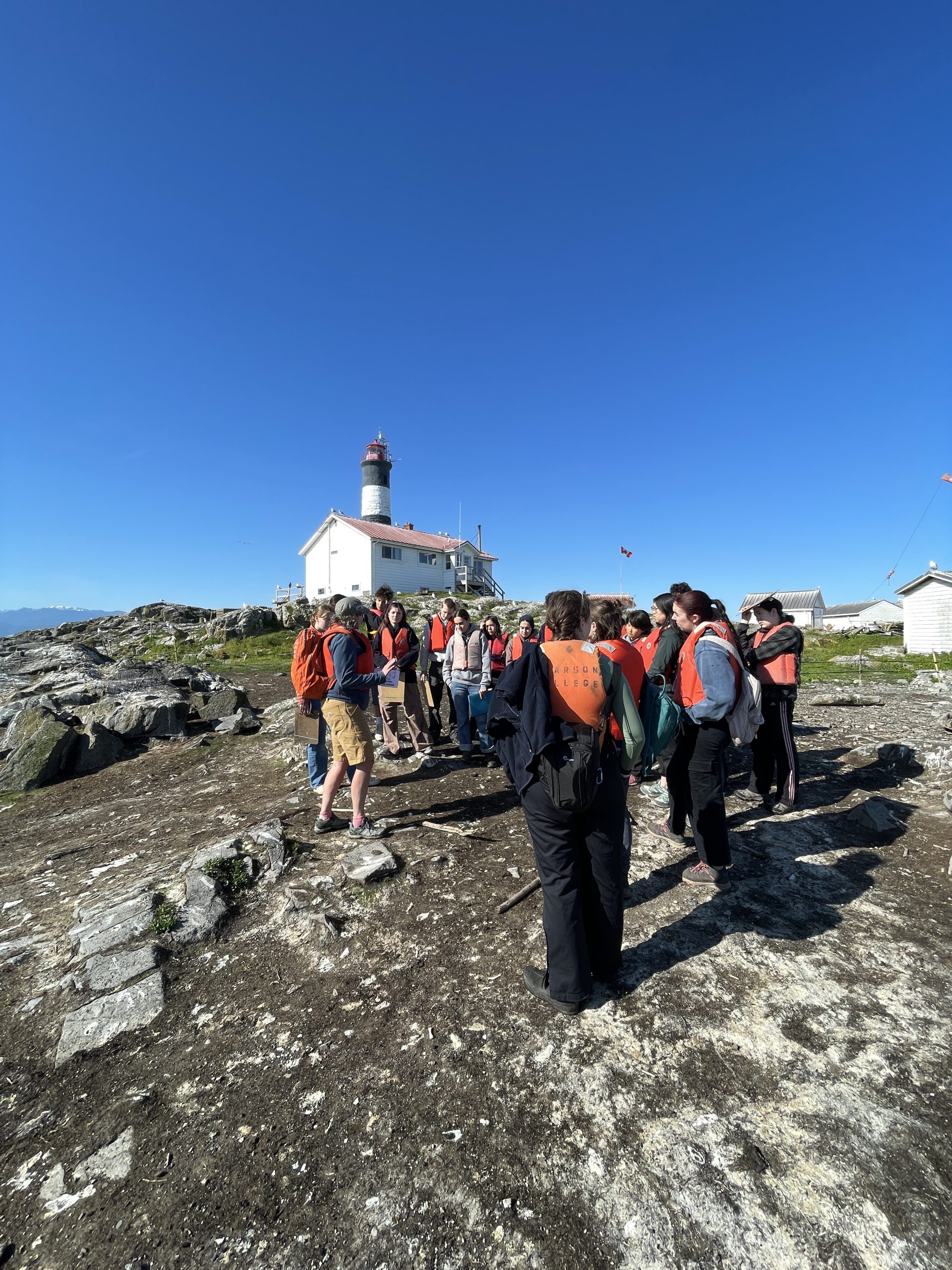
Around 8:30am the first group of Pearson students were dropped off for their marine science exam which was taking place here at Race Rocks. By 9am we had 46 humans on the island which is a lot after not seeing anyone for a whole week. Today’s tide was one of the lowest I’ve seen since being here and its neat to see the rocks and small islands that are usually well below the surface.

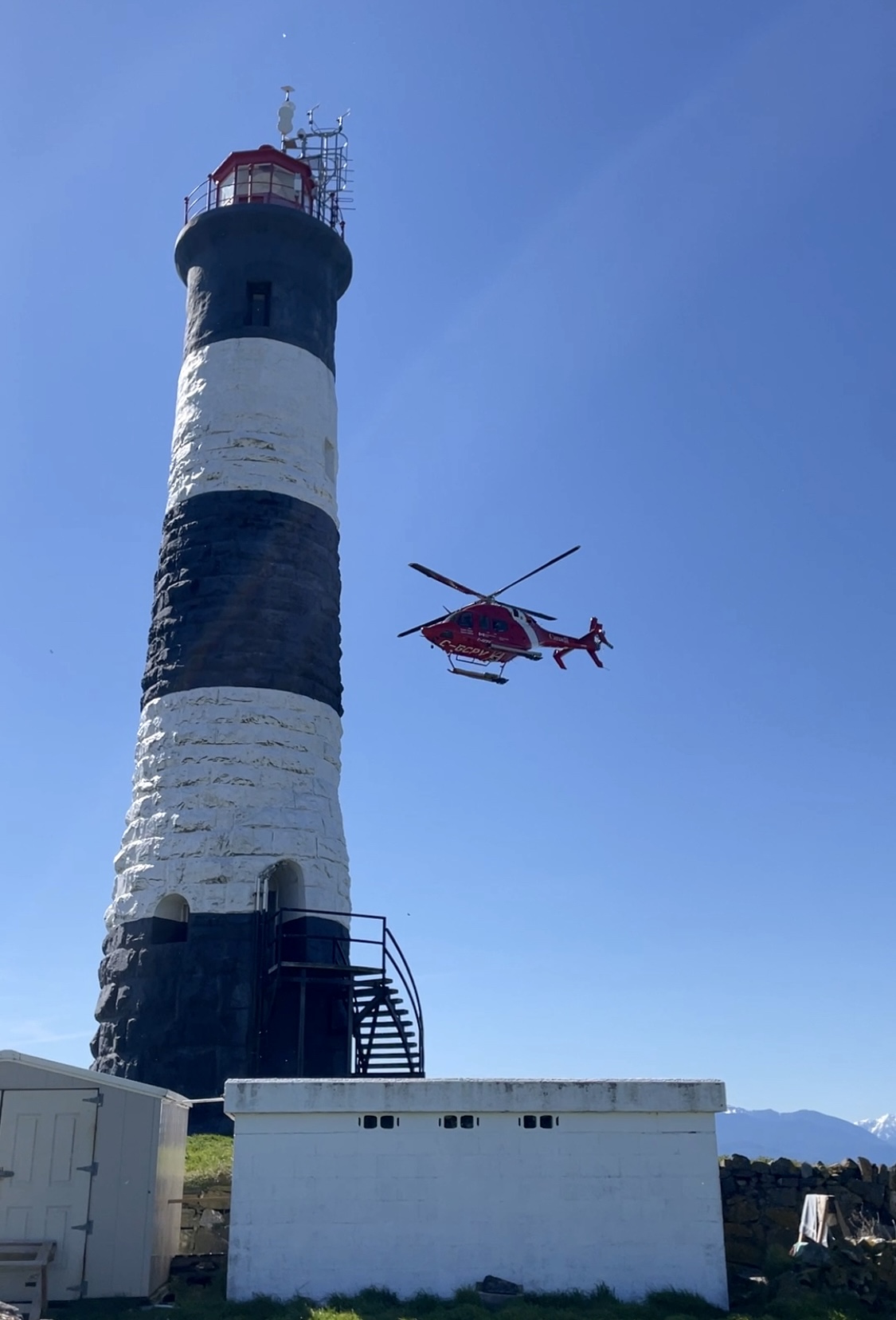
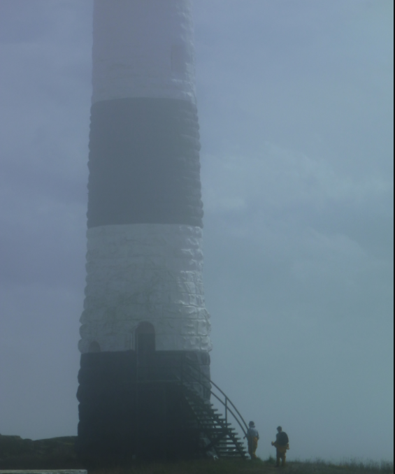
Halfway through the exam we had a surprise visit from Coast Guard via helicopter to continue working on the fog horn. Thankfully all of the students were safely tucked away working on their exams down in the tide pools when it arrived. This time they had a smaller helicopter so they actually landed on the grass next to the tower rather than the helipad. Overall disturbance was limited aside from birds leaving the area (but immediately returning) and the minor panic exhibited by me. 

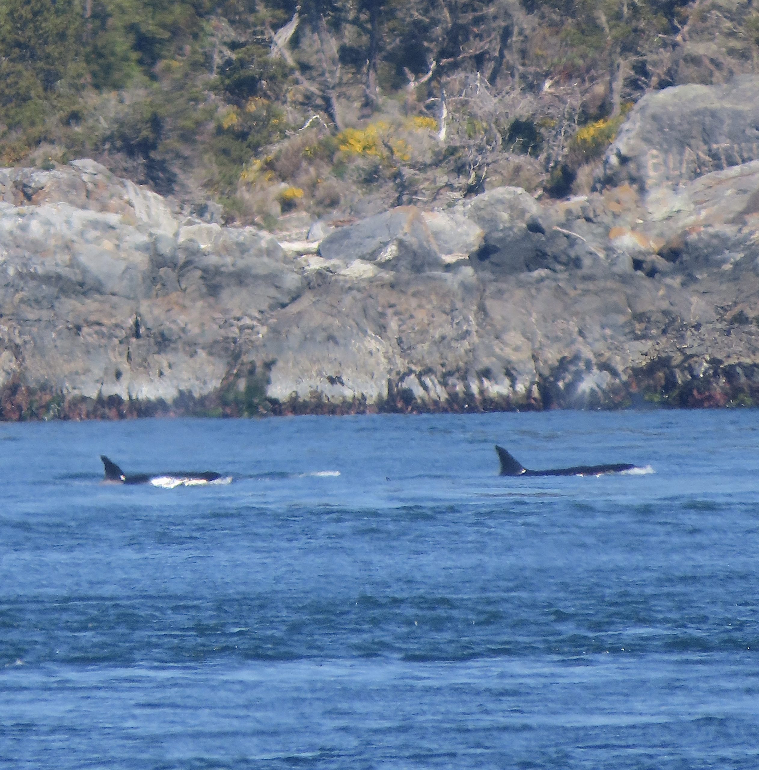
If that wasn’t excitement enough, we saw 3 passing transient killer whales shortly after! Once again, they were quite far in the distance but always nice to see. One of these days I’ll see them up close!

On return to the school, one of the boats found a deceased harbour porpoise floating on the surface. I reported this to DFO and the animal was collected and brought back to the college where it can be stored in a freezer until the DFO team and veterinary pathologist are able to perform a necropsy.

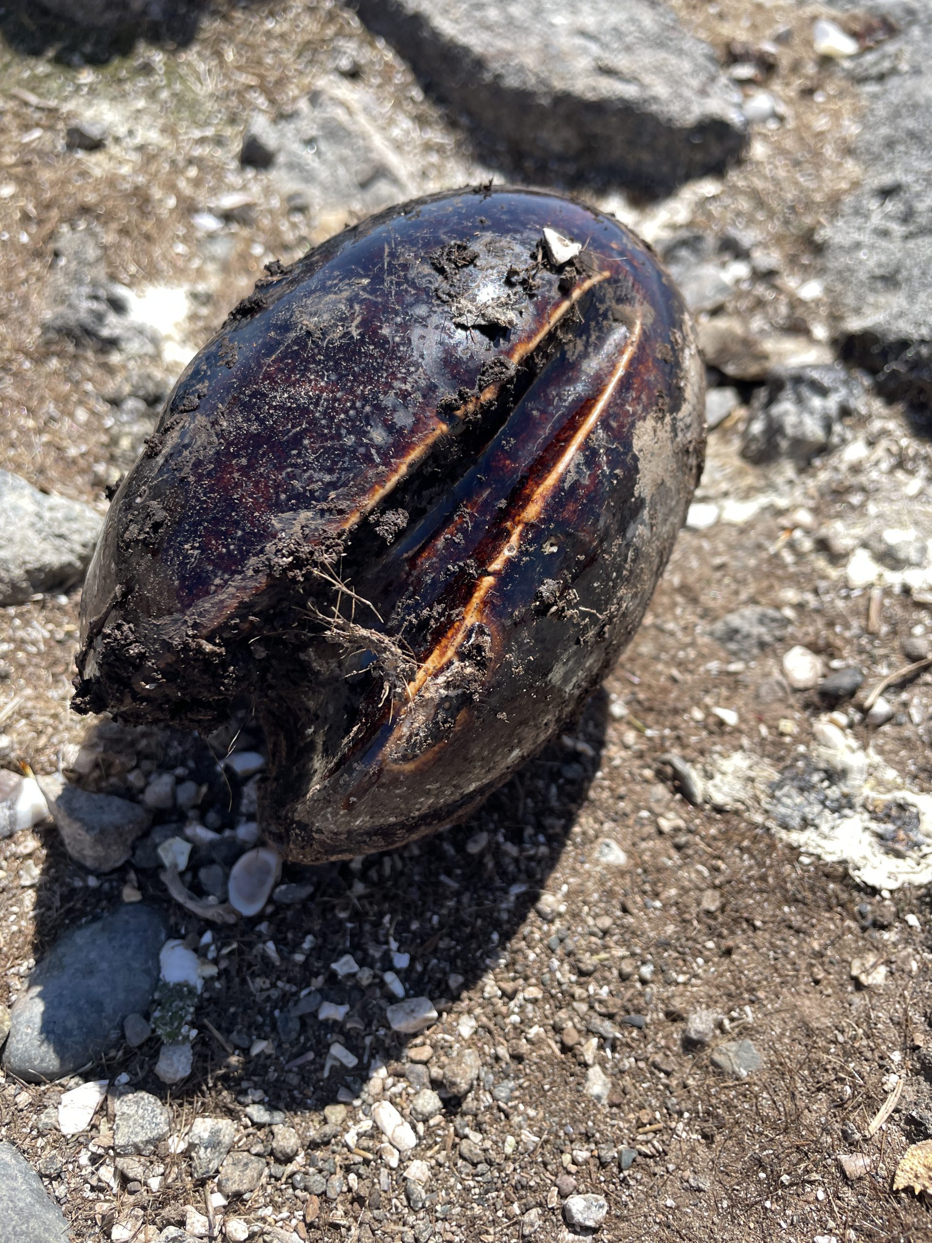
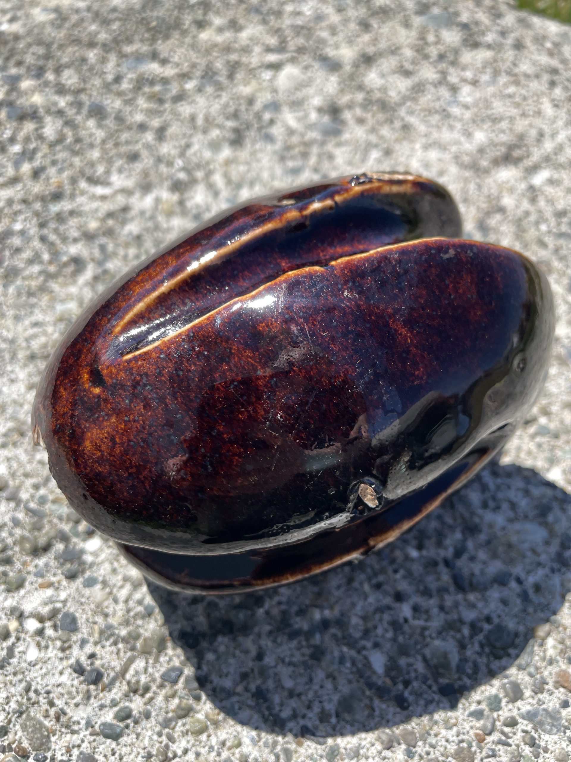
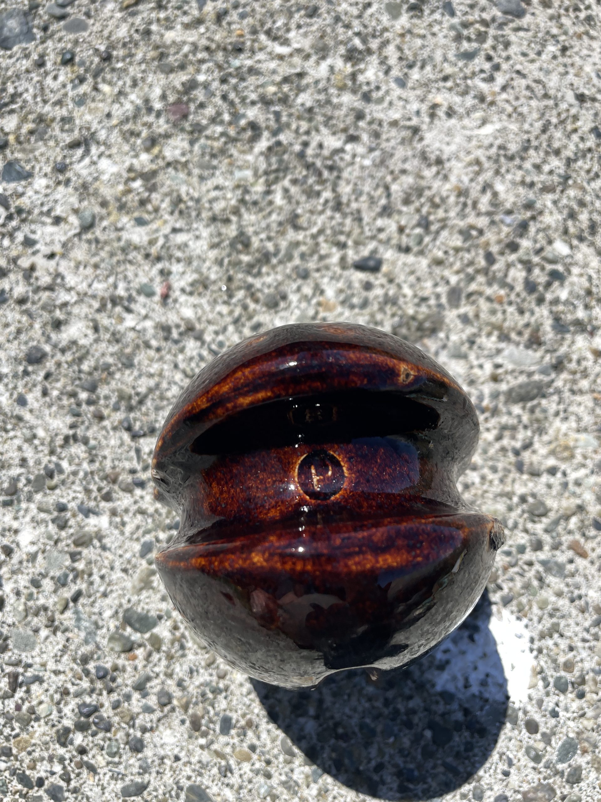
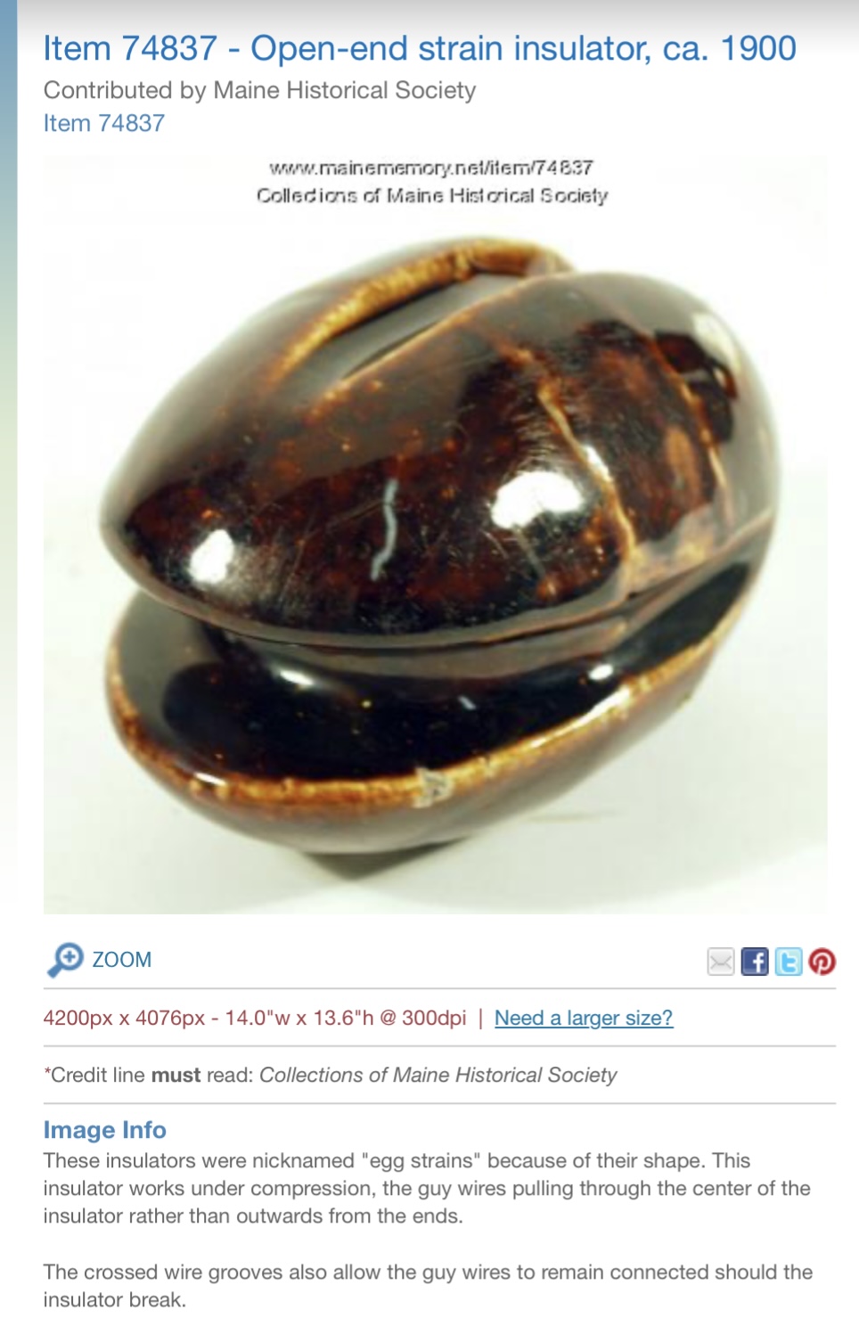
The afternoon slowed down once it was just me and the animals alone on site. Ollie was relaxing in the kelp beds, the sea lions were quiet, and the sun was toasty. I ventured down to the rocks behind the student house to soak up some sun when something shiny caught my eye. Partially sticking out in the dirt I picked up what originally looked like some sort of bivalve or calcified shell, almost something you’d expect to see on a tropical beach. Upon picking it up I realized how heavy it was and that it actually appeared to be man made, with grooves that seemed as though they would hold rope or line. My next guess was that it was a lead fishing weight of some sort or maybe a piece of similar equipment. I rinsed it off and sent some photos to colleagues to further inquire. One of the other Eco Guardians, Derek, helped me to ID it as an “open-end strain insulator” and it supports guy wires/cables by working under compression. Through a page on the Maine Historical Society website I was also able to learn that this porcelain egg like tool was made in 1900. How wild is that! I know this island holds more history than I’ll ever know, but never did I think I’d stumble across a little piece of it among the dirt and the goose poop. I’m going to have a read through some books here tonight and see if there are any photos or mention of it!

Wow, okay I think that is everything for today! Race Rocks will never cease to amaze me.

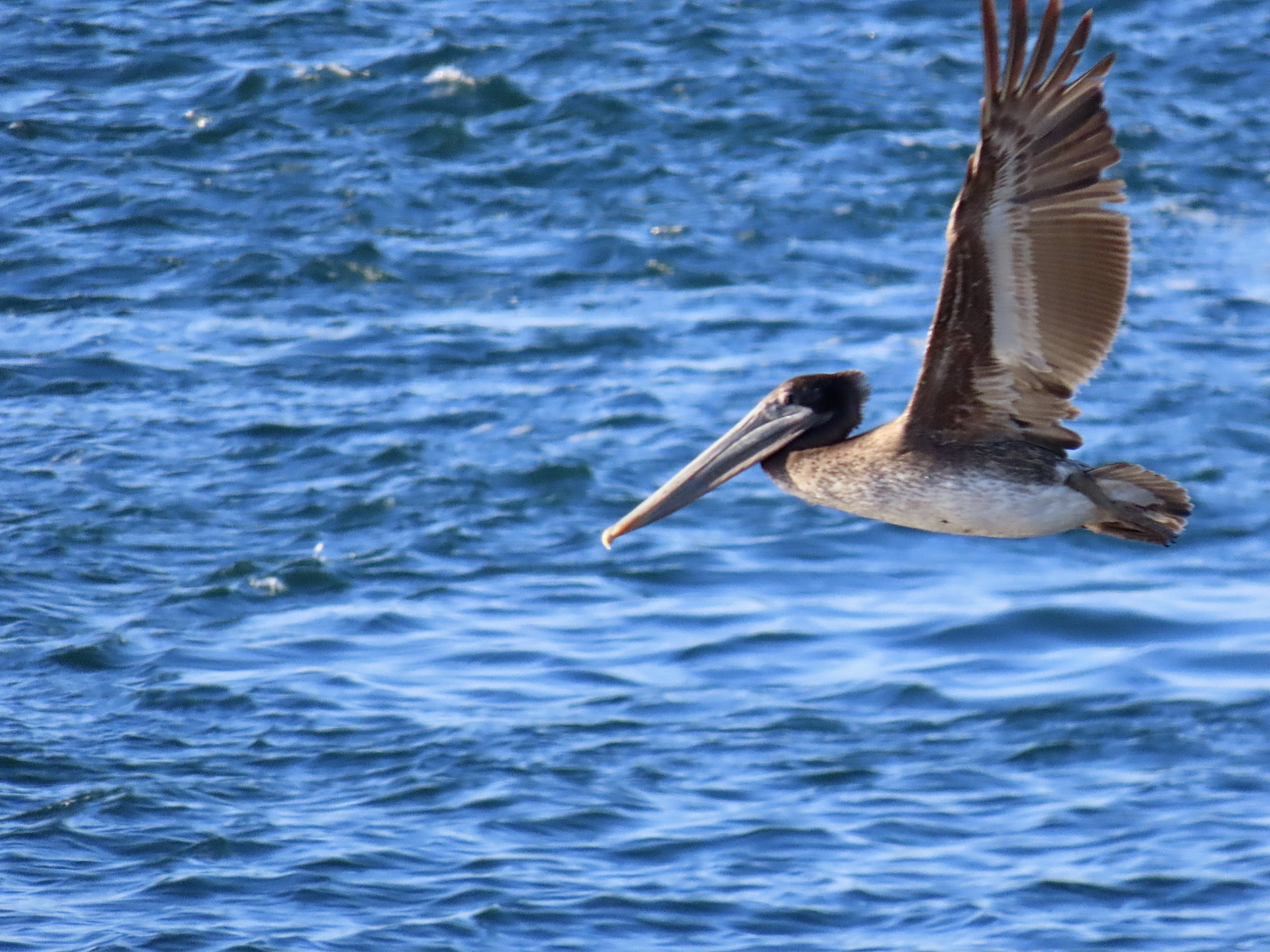
…I guess I spoke/posted too soon! Shortly after publishing this blog post I spotted a brown pelican circling the reserve and figured it deserved a mention! 


Additional info:

Ecotourism vessels: 10+ busiest day I’ve seen so far!

Weather:

  • Sky: Blue skies and sunny
  • Wind: High of 8 knots, Low of 2 knots
  • Sea: Glassy
  • Temperature: Low 8•C, High 22 •C

** All wildlife photos taken at the furthest distance possible, and may be cropped to improve detail! **

Wildlife Everywhere!

Every day when I think I’ve seen it all here, somehow something new happens and its what I love most about this place. Aside from the seals that is…and the sea lions…and the sea otters.

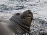
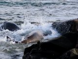
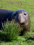
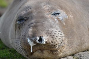
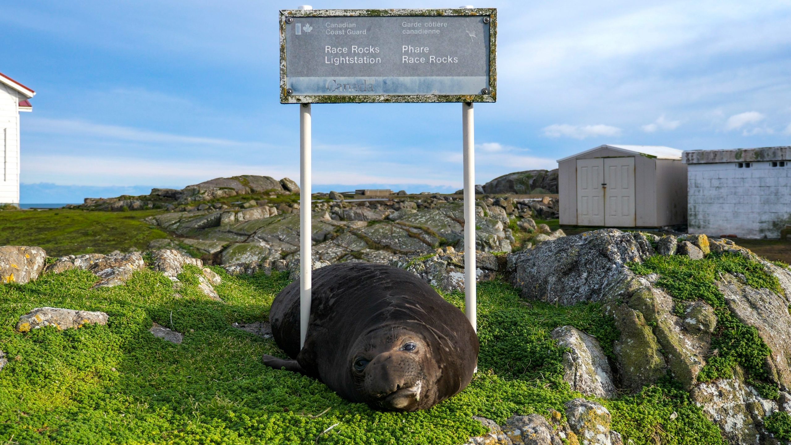
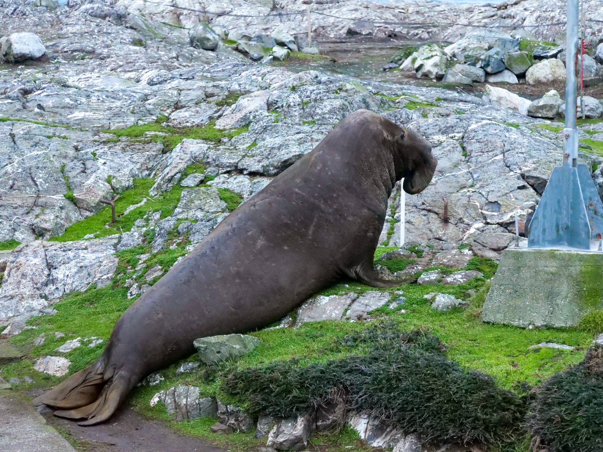
This morning as I did my morning walk around I spotted one of the female elephant seals in the water next to the jetty. Shortly after, the male elephant seal joined her. There was a lot of chaos — heads thrashing, biting, splashing, vocalizing. It finished as fast as it started. The female was nowhere to be found and the male took back his spot on the boat launch.


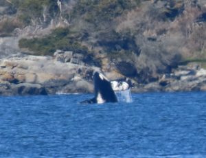
This afternoon I spotted a lone male killer whale who may be one of the largest I’ve personally seen. I’m working on my ID skills still but I’d love to figure out who he is. He was quite far away so my photos aren’t too clear. One of these days I’ll get whales in the reserve! (I hope.)


A few hours later 4 more killer whales passed by about the same distance away. These ones appeared to have a baby with them and although they were travelling we did get to see a couple little spy hops!


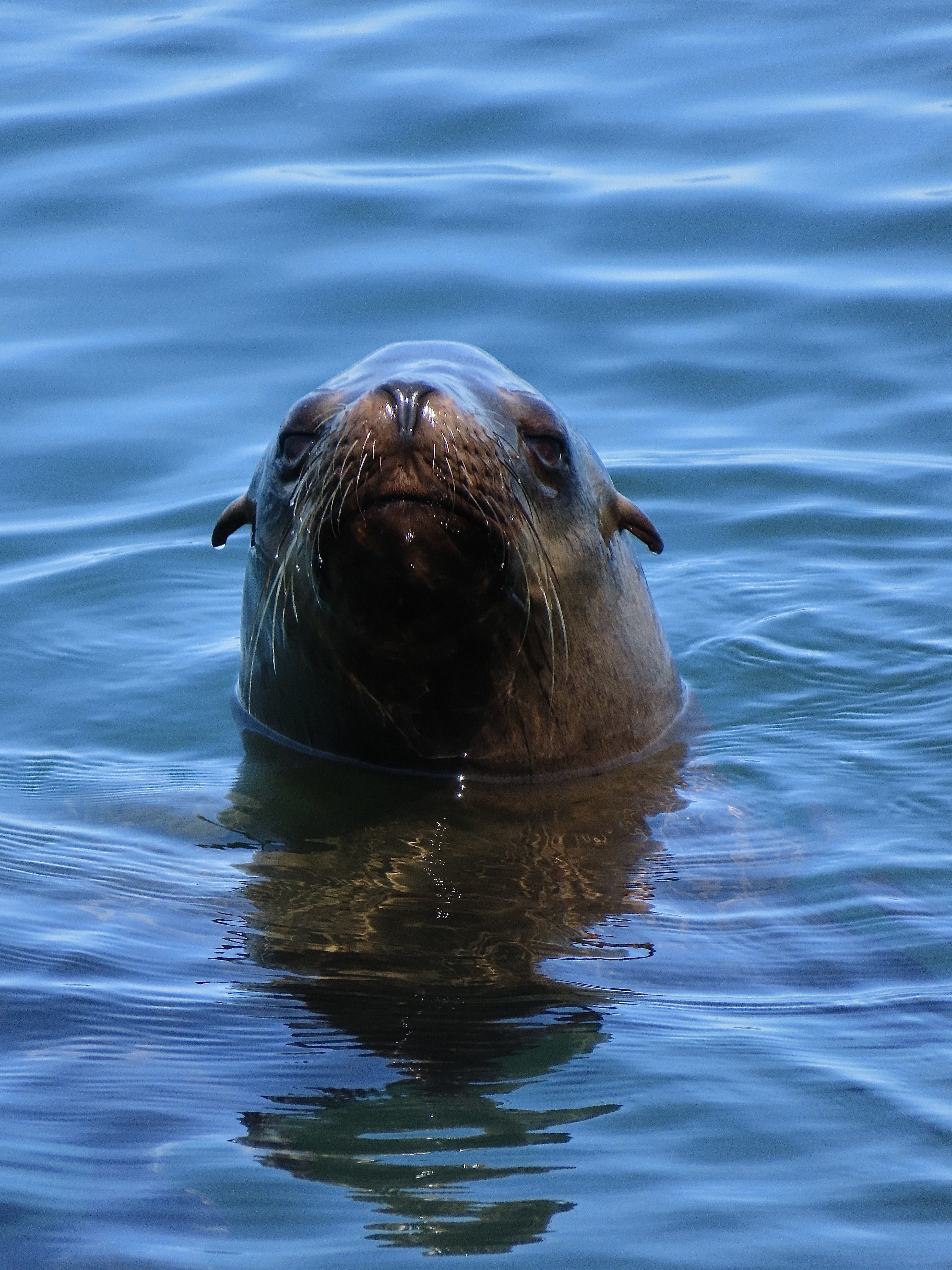
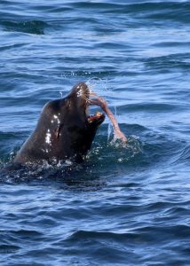
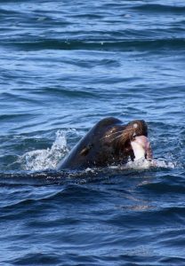
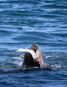
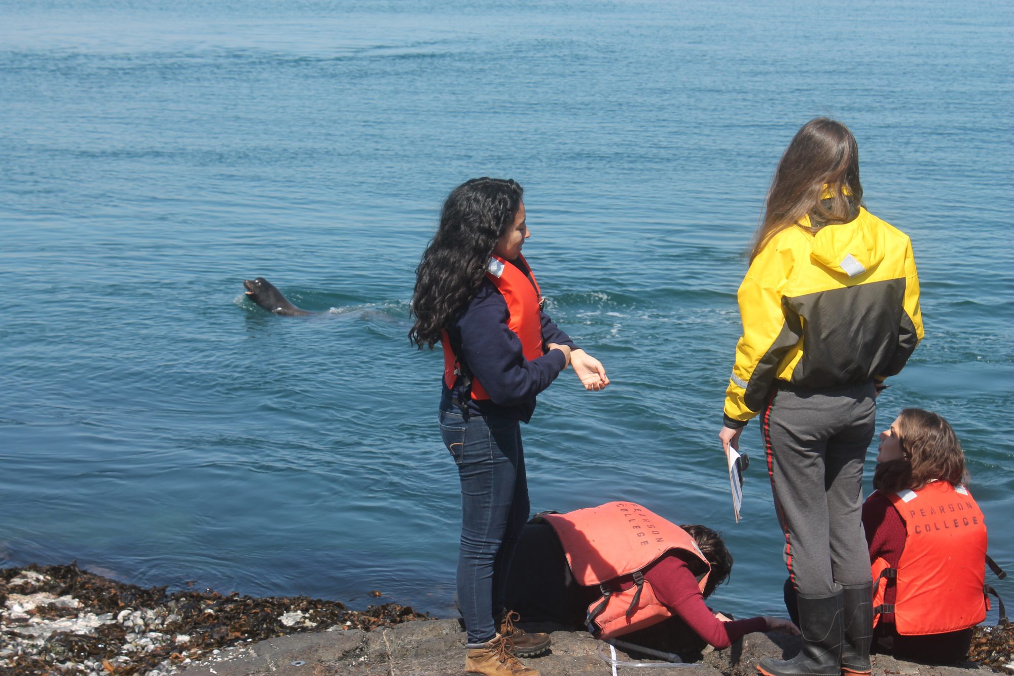
As we were watching the whales, one of the California sea lions near the jetty popped up right in front of us with a large octopus in his mouth. He thrashed it around and put on a pretty great show!


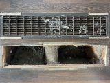
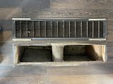
As for the less exciting non animal notes — I’m still working on cleaning and getting the main house ready for the next Ecoguardian to arrive, including cleaning out the vents in the house now that the furnace is up and running. Talk about dusty! (see photos below).

I have also been trying to use the desalinator as much as possible to get the water level up. It dipped down low after we did some pressure pressure washing earlier this month and coupled with the 9 extra people here this week I want to make sure the Ecoguardian coming after me isn’t left high and dry!


It has been so great getting to know the students from Pearson. Everyone has such different interests and knowledge, I think I have learned more from them than they have me!


Additional information from the day:

DND Activity:

  • 2 blasts around 11:30
  • 2 blasts around 13:00
  • 2 blasts at 15:45
  • Observers were on the water all day. No blasts happened while orca in the area and no noted disturbance to animals within the reserve.

Noted Vessel Traffic:

  • 5 ecotourism vessels
  • 5 RCMP vessels

Weather Events:

  • Thursday, March 21:
    • Sky: Sunny morning, some cloud cover in the afternoon
    • Wind: High of ENE 13 knots, Low of 0 knots
    • Sea: Calm
    • Temperature: Low 7oC, High  10oC

** All wildlife photos taken at the furthest distance possible, and may be cropped to improve detail! **
 

Weather – Current:

http://www.victoriaweather.ca/current.php?id=72

Weather – Past:

http://www.victoriaweather.ca/station.php?

Pearson Students leave today.


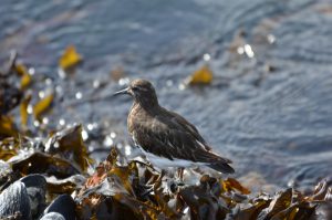
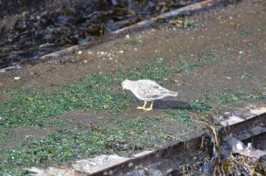
Ecological Notes: River otter spotted on main island again.Surf Birds are around the island on the low tide lines today and Black Turn Stones.. Pearson students gone home.

Animal Tracking. California injured perhaps by an encounter with Orca.

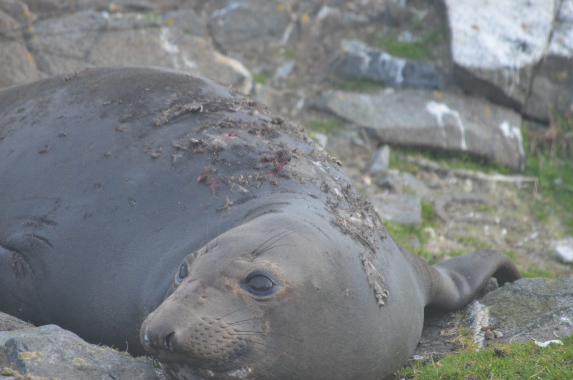
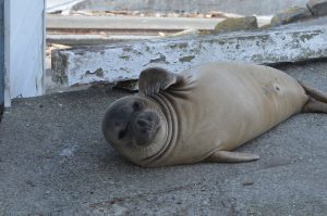
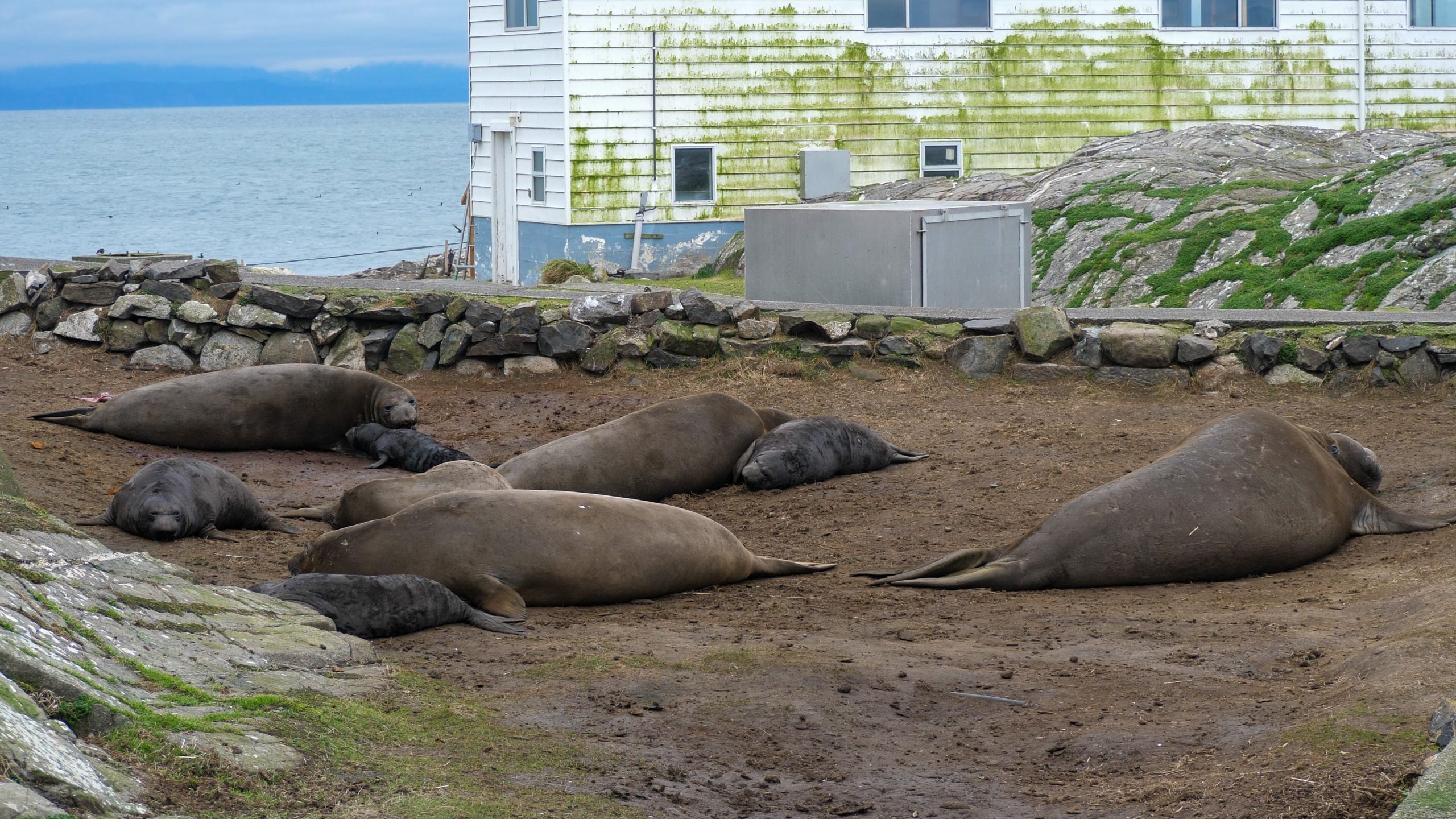
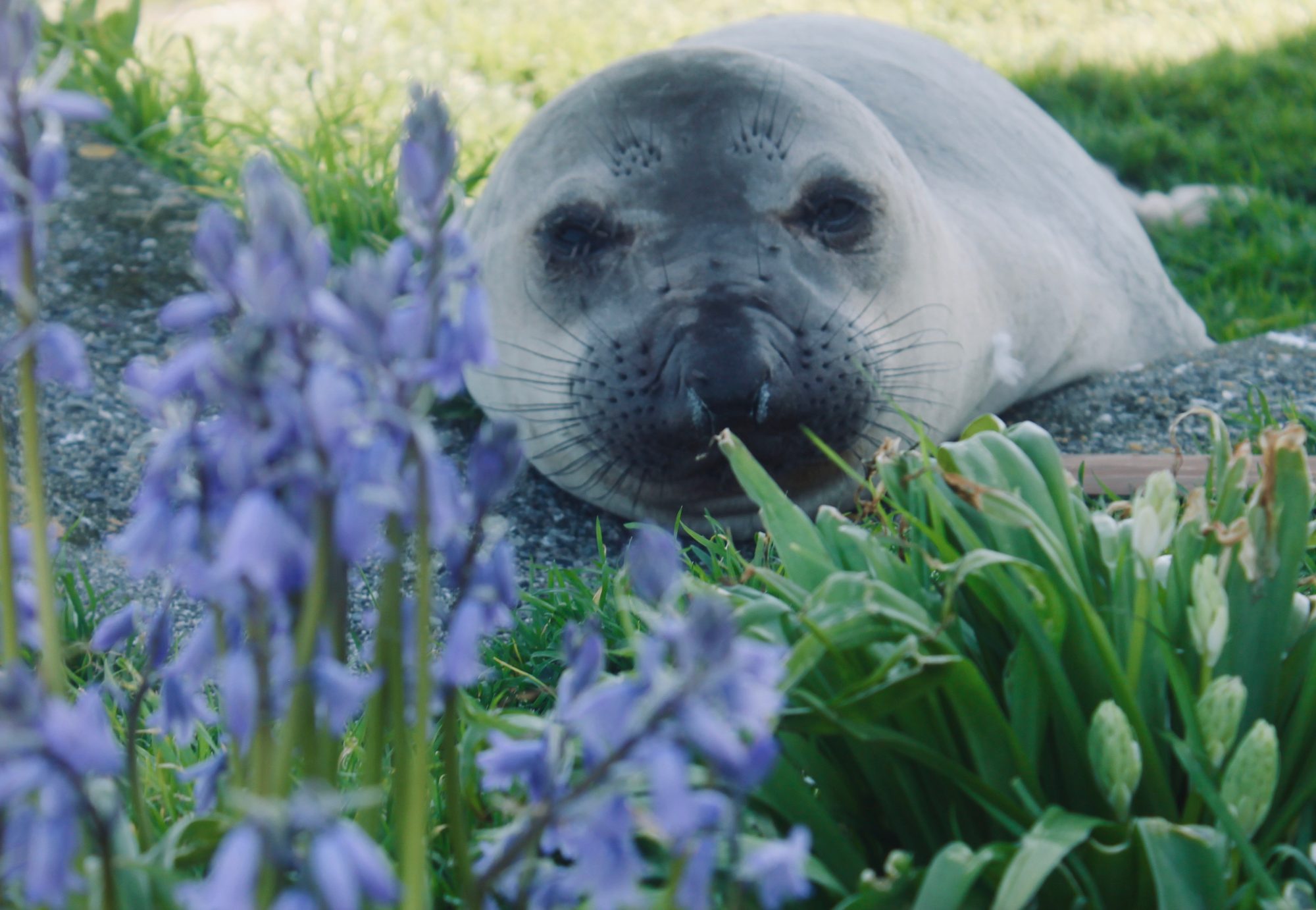
Elephant seal pups: 4 molting

Elephant seal female: 3 molting

 Current: http://www.victoriaweather.ca/current.php?id=72

Weather–Past:  http://www.victoriaweather.ca/station.php?id=72


Female elephant seal

Another female elephant seal arrived and we now have three molting on the island..
Elephant seal pups: The four pups are getting closer to the water.
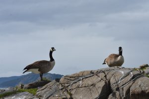
Canada geese. The geese are nesting. Some have laid eggs already. The river otter is trying to find the nests as are the gulls. The geese are getting aggressive to anything that gets close to the nests.
.
Visitors:10
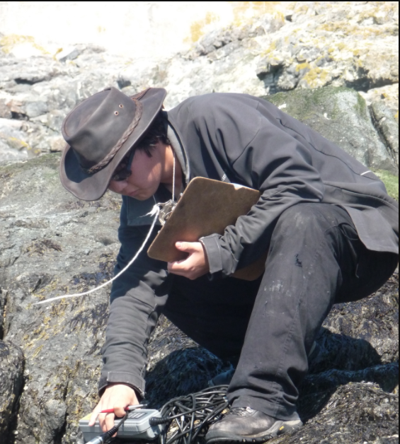
Pearson College students over to study shoreline invertebrates. With the moon getting fuller the tides are very high and very low. This makes for perfect beach walking and shoreline classes for the students.
Facility Work With the help of a couple students, the cleaning continues on the sides of building today.
Vessel Traffic Three Eco-tour boats doing respectful viewing.
Weather Events:Flat water and light wind
 

New Elephant Seal Pup: #5!

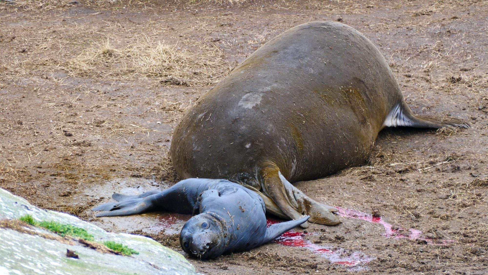
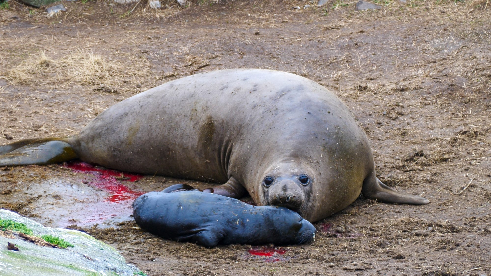
We got a late arrival to the party: Jolene, the fifth female to come ashore for the 2021 birthing season. She showed up on January 21st 2021, and birthed on the 28th around 10am. There is some inital commotion where one of the other moms came over to get a sniff and toss around our new baby Hector (named by the marine science class).

A few seconds after Hector was born.

Jolene getting a good sniff of her new pup.

After that initial bit of excitement Hector and Jolene settled in the pod of Elephant Seals. I’m pretty sure this is the new record for births on Race Rocks! Exciting to see the population growing.

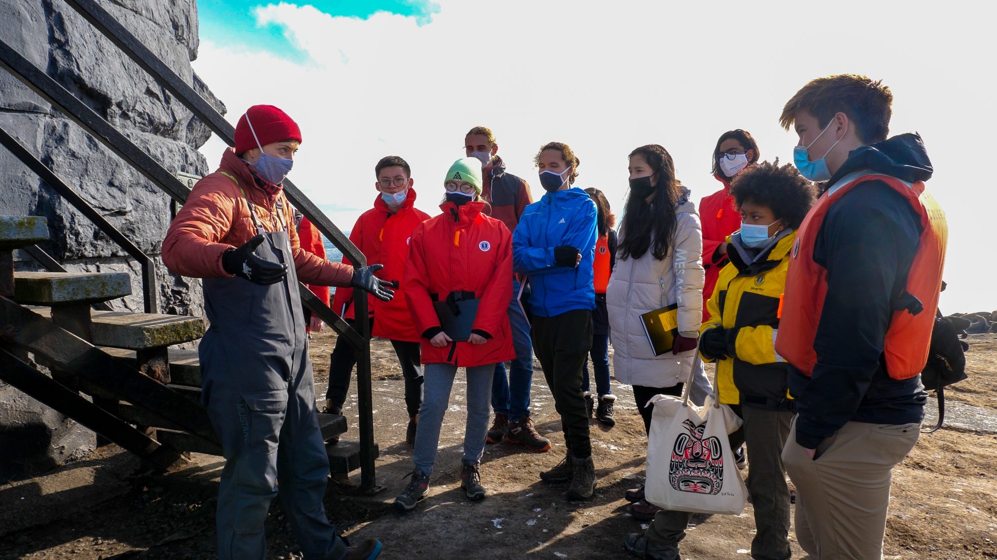
We had the marine science class come visit Race Rocks today! Super fun to get a chance to talk with these super interesting students about Elephant Seals, Race Rocks, and manipulating the stock market.

Laura brought out the marine science class!


Courtney Edwards regaling the marine science class with stories of lighthouse keepers and Race Rocks itself!


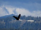
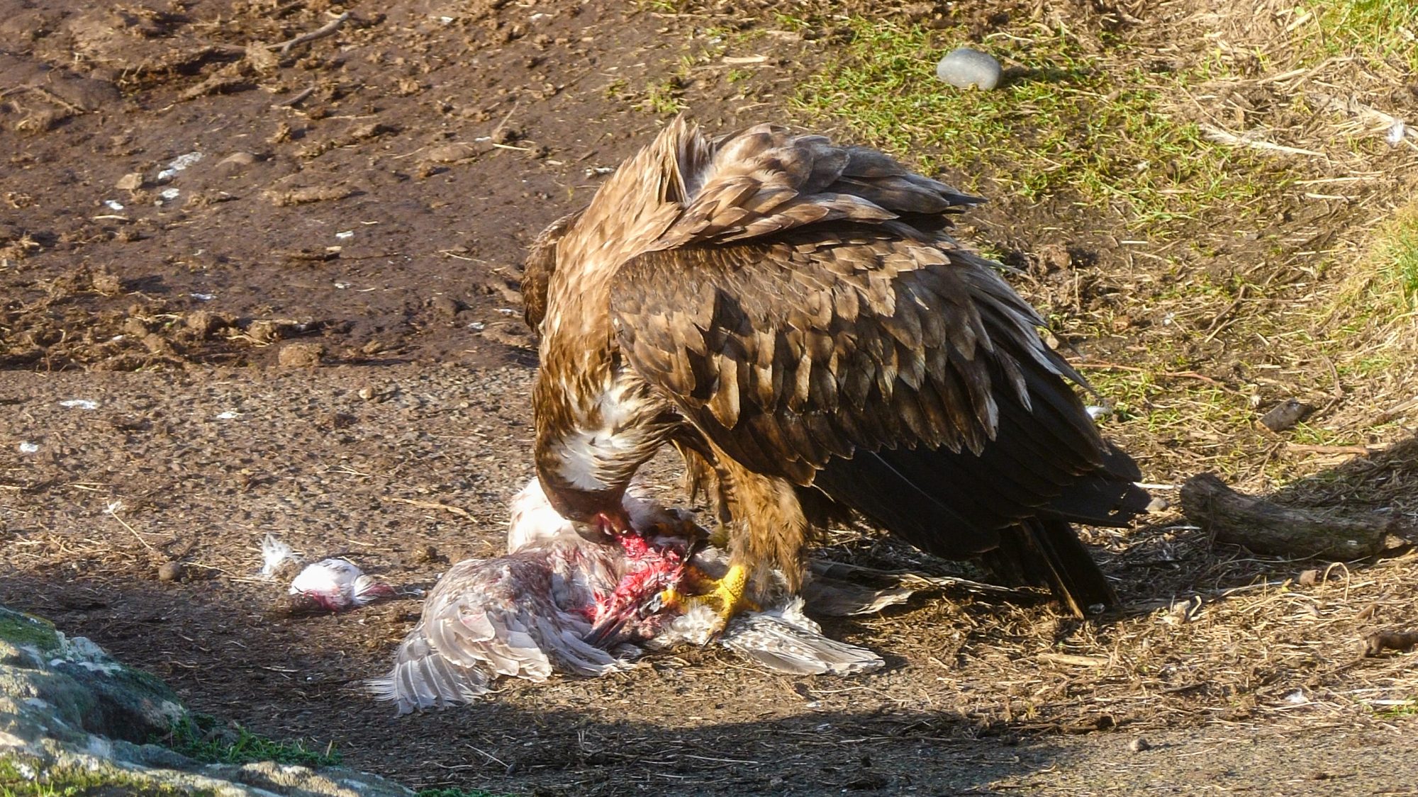
Also: an eagle snagged a gull today. So cool!

Turns out there’s not that much meat on a gull. Lots of feathers though!

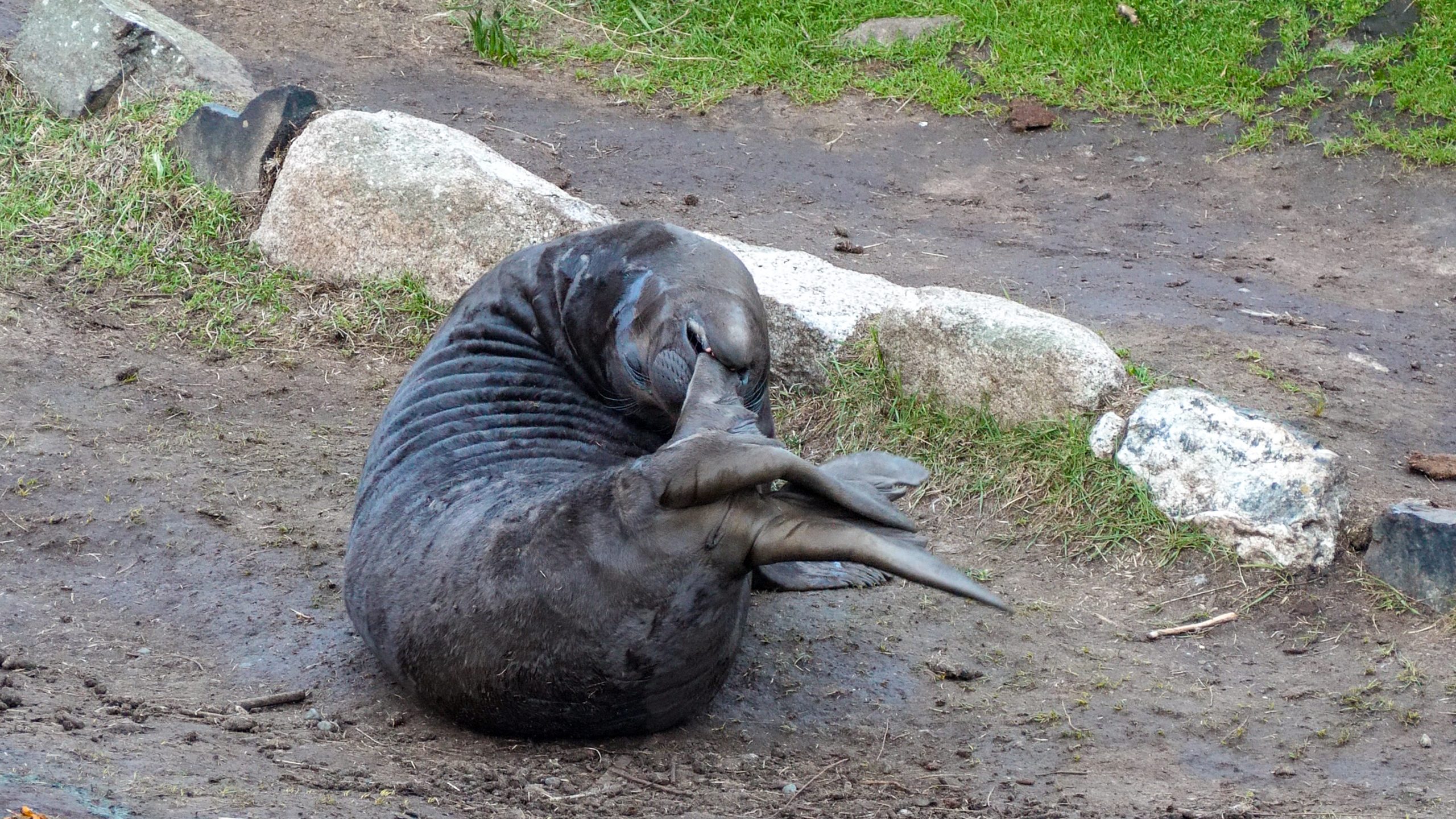
Cheermeister discovered his rear flippers the other day. Hilarity ensued.

Bernard defending his harem. A sneaky male thought he could get up the boat ramp without he Beachmaster noticing. Silly rival, Bernard knows all the tricks.

I like including moments of peace, because that is what it is actually like here. Moments of extreme excitement, followed by naps and nursing.


Pearson College Student Field Trips to Race Rocks

This file is an index to the Student Field trips to Race Rocks after 2010. Most of the Events posted here are in links to the blog created by Laura Verhegge to document some of the field trips taken by her Marine Science classes

For other tagged occurrences of Pearson College students being involved at Race Rocks  documented here  use this link:  


EVENTS 2018:
Four Trips to Race Rocks in Three Days-Laura Verhegge Oct 2018


 Northern Elephant Seals at Race Rocks.. The First Year Field Exam, 2017

there were 11 northern elephant seals (Mirounga angustirostris) that provided both entertainment and answers to the students writing the exam.


Field exam at Race Rocks 2016

On Monday 9 May, 26 Marine Science students travelled to Race Rocks on Hyaku or the Discovery Shuttle (chartered from Ocean River Sports since ‘Second Nature’ is still in the shop) to write their first year field exam.


Sea lions, seals and orcas, oh my!

First year marine scientists had a wonderful experience at Race Rocks on Friday September, 2016
Also: Orcas! The trip that never made it to Race Rocks


What a day for mammals!. September 30, 2015– 

Later in the day, a first year class was welcomed ashore at Great Race Island by the usual suspects, California sea lions, Stellar sea lions and a Northern elephant seal

Race Rocks visits with Year 41 students

Three great afternoons at Race Rocks with the three blocks of first year Marine Science students – Tuesday, Wednesday and Friday. We observed and photographed many sea lions, both California (Zalophus californianus) and Stellar or Northern sea lions (Eumetopias jubatus).


Field May 19 2014 – A block

Better late than never, right?  On 16 May 2014, the other class of first year marine scientists (A block) wrote their field exam at Race Rocks.  Here are a few photos of their experience.


Field Exam 2014 – D block

It was a stunningly beautiful Thursday morning when eight D block marine scientists travelled to Race Rocks to complete their field exam.


Tidal pools and abiotic factors at Race Rocks


Baby is growing up fast.February 2014
One class of Marine Science students had the chance to visit a newborn Northern Elephant Seal pup when it was just a few days old, during our first week back in class, in January.


Pearson College Marine Science Blog by Laura Verhegge.  Race Rocks exploration – 11 April 2013


Field exam May  2012

It was sunny and warm with a just gentle breeze yesterday when first year marine scientists went to Race Rocks to complete their last challenge of the year – the field exam!

The Origins of an Ecological Reserve-Trev Anderson turns 100

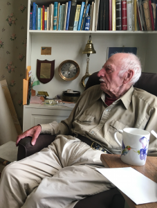
Trevor Anderson at age 100

On October 22nd  we were invited to the 100th year  birthday party for Trevor Anderson, the light keeper at Race Rocks when it became an Ecological Reserve. Trev and Flo Anderson had arrived at Race Rocks with their family in 1966, and served at the station until they had built a boat and left to sail across the Pacific Ocean in 1982. They had been married for 70 years in 2014  and  Flo Anderson passed away in 1977.

  I first met the Andersons in 1976 and the students from Lester Pearson College in the Diving Marine Science and Biology programs started coming out to the Islands for field trips and SCUBA diving, with some even spending their project weeks studying and working at the islands. Students in the Diving and Sea Rescue Services at Pearson College developed a close relationship with these neighbours 5 km out at sea. After many of our dive sessions whenour students were invited into their home for tea and cookies, the students would talk excitedly about the incredible sea-life they were seeing at under water. In the late 1970s we started to visit Race Rocks more frequently and the Andersons invited students to stay on project weeks. 

Trev and Flo were the first to plant the seed of an idea urging us to see if we could get the government to do some formal recognition and protection of the Race Rocks Area.  What they could see at low tide alone was impressive enough, but if the underwater life also could be protected, that would be ideal.  In the years 1997 and 1998 we recorded the unique life underwater by logging dives from over 80 locations throughout the Race Rocks archipelago, and by February of 1979 a highly successful workshop took place, with officials invited from the Provincial Museum, the University of Victoria, and the Ministry of Parks who were all enthusiastic and supportive of our proposal.

Throughout that year we worked at the task of formalizing our proposal, presenting it to cabinet and lobbying to get action. Two students in diving and marine science, Johan Ashuvud from Sweden and Jens Jensen from Denmark were especially relentless in their pursuit of our goal. The proposal had to clear 11 agencies in the government bureaucracy and the cabinet before the Reserve could be proclaimed. These two students invited the Director of the Ecological reserves Branch Bristol Foster, and the Deputy Minister of Parks Tom Lee out to dive and then kept following it up with phone calls, even after hours! Their persistence finally paid off when after a year, the shortest time any reserve proposal has ever taken, the Minister of Parks was able to request Prince Charles on his visit to the college as international board president (April 1980) to make the formal announcement proclaiming Race Rocks the 97th Provincial Ecological Reserve.

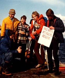
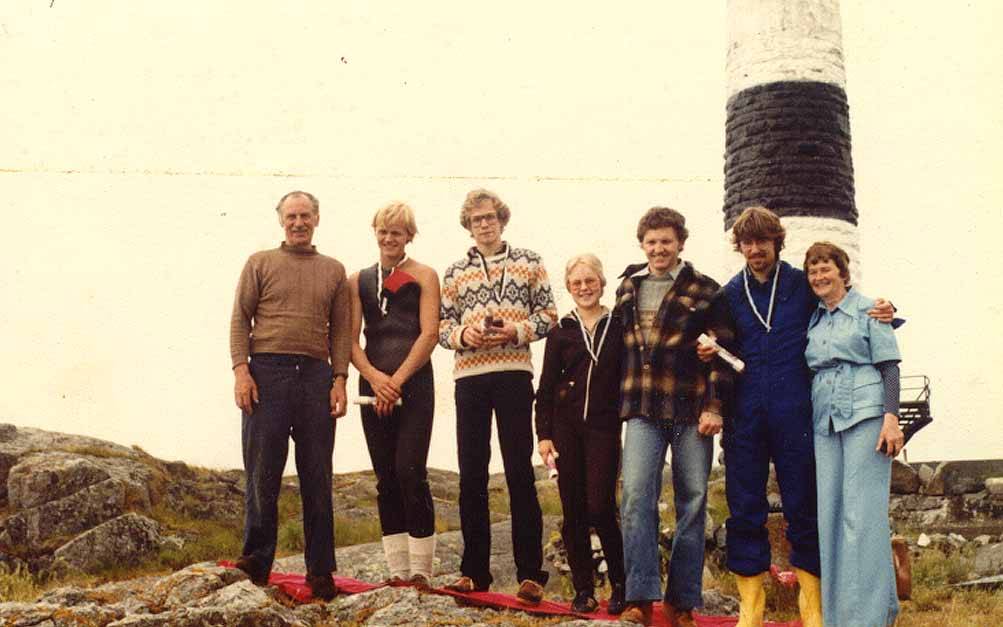
The day we received the information that the reserve was proclaimed by the Ecological Reserves Branch of the Ministry of Lands Parks and Housing, The group of students who had worked so hard on the proposal went out to Race Rocks to give the news to Trev and Flo and present them with a very unofficial looking sign. 


The next week Trev and Flo asked the group of students who had worked so hard to establish the Ecological Reserve to come out to the island one afternoon where they presented the students with medals and “The Order of Race Rocks” as recognition and appreciation for their work in creating the Ecological reserve. 


Trev, Hans, Johan, Iina, Garry, Jens and Flo


FER Board member Garry Fletcher taught at Lester Pearson College from 1996 to 2004 and has been the ecological reserve warden for Race Rocks since 1980.


CAS week

  • 8 students and Laura, their instructor were here for the week.
  • They carried out several interesting studies, including counting the sea lions 5 times/day, watching animal groupings according to the wind direction and intensity, keeping track of the tagged and branded sea lions to watch their movement.
  • I was grateful for their help when I drove Laas to Pearson College in the whaler. The winch is much easier to use with several hands!


GPS Survey for Earthquake Hazard Assessment on Southern Vancouver Island

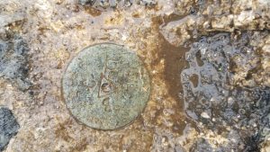
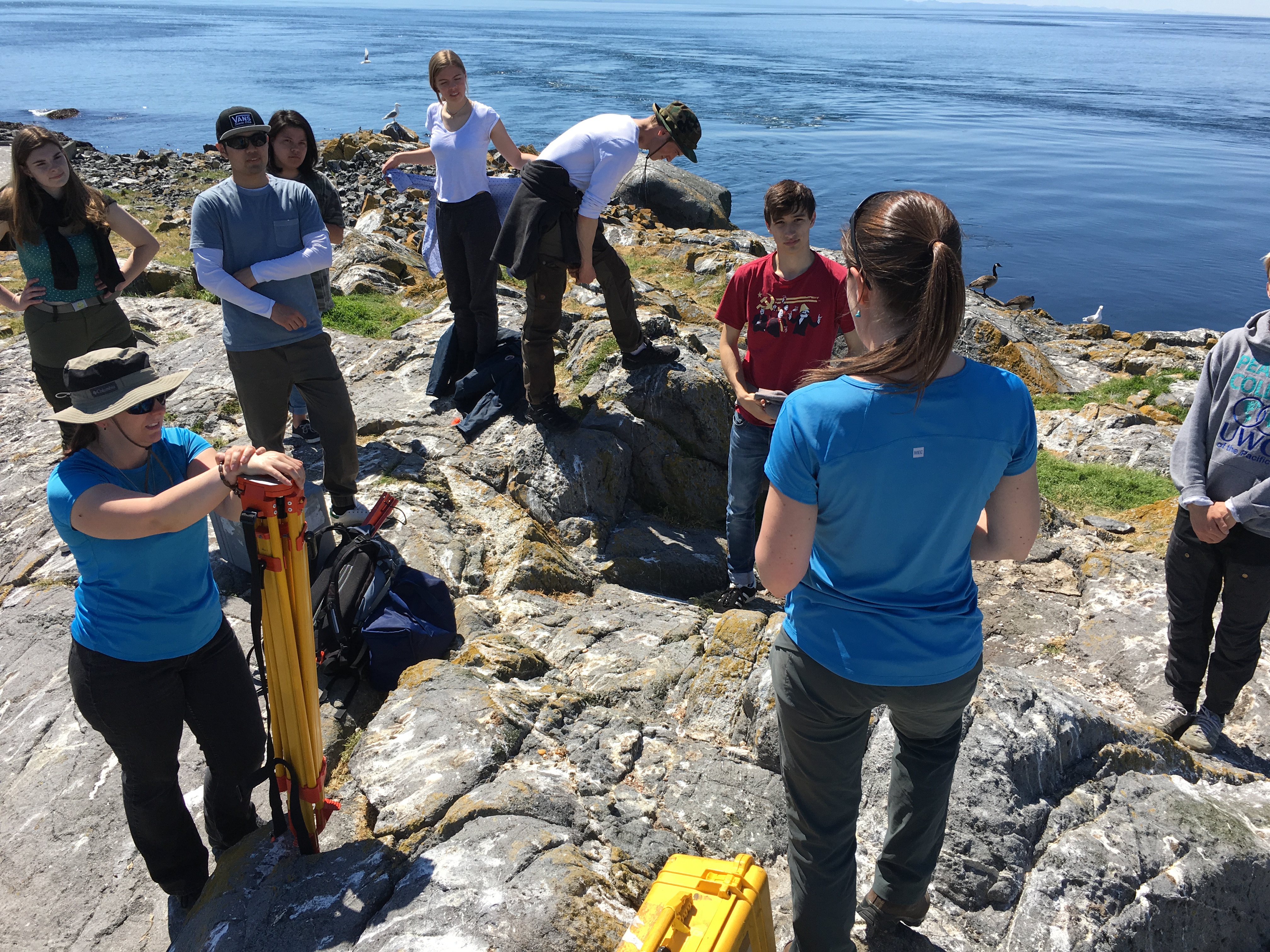
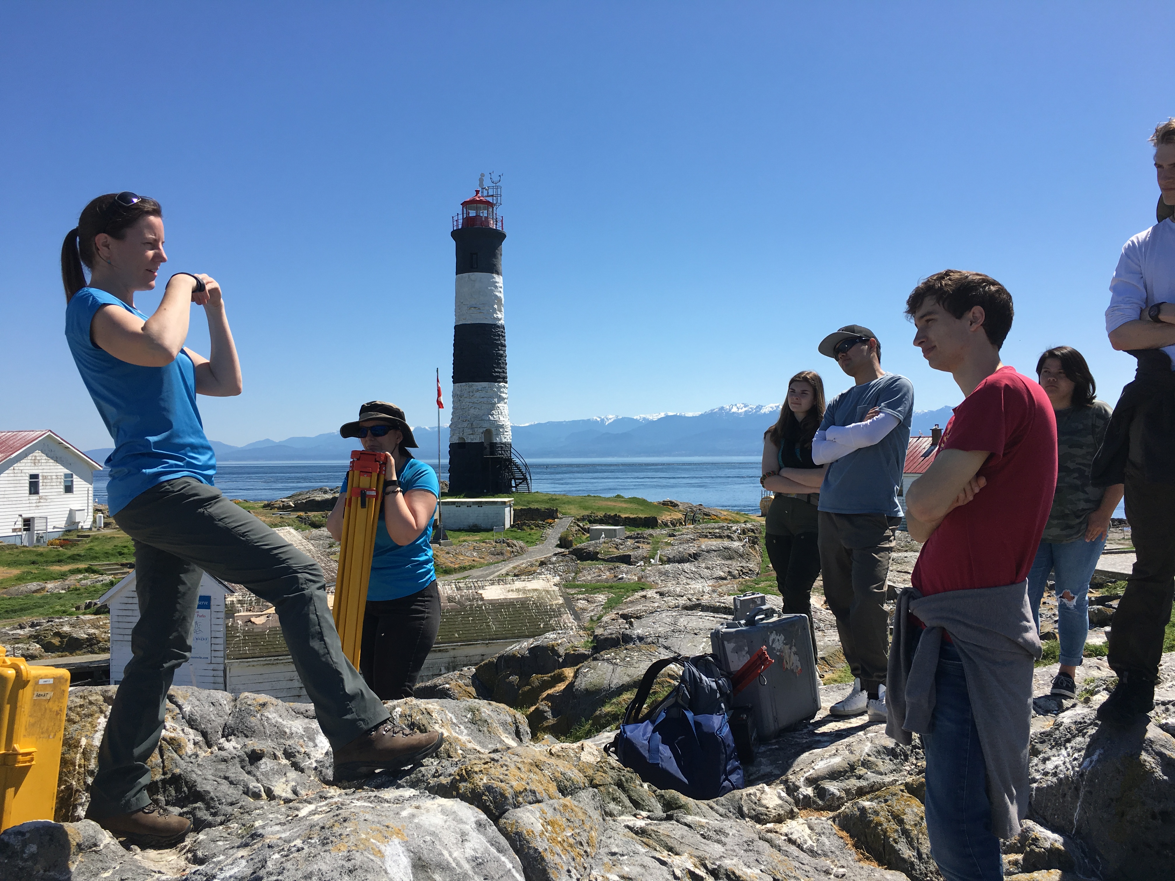
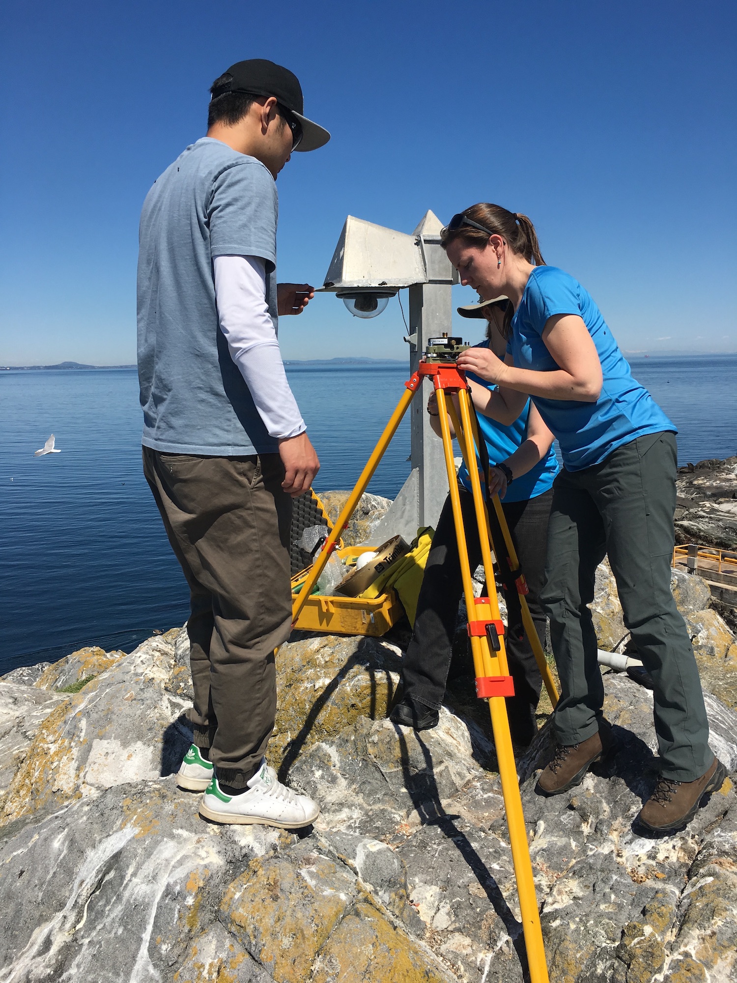
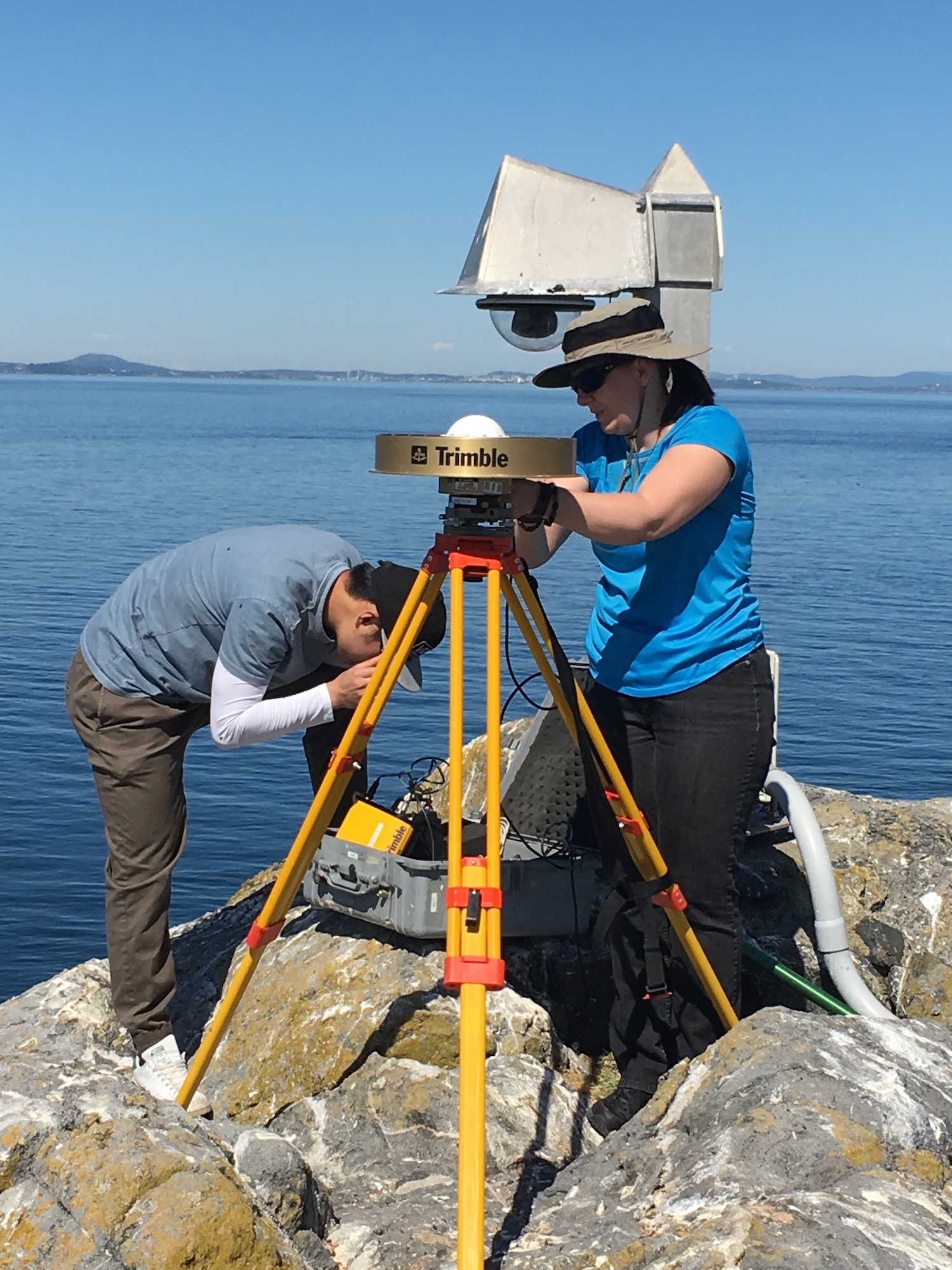
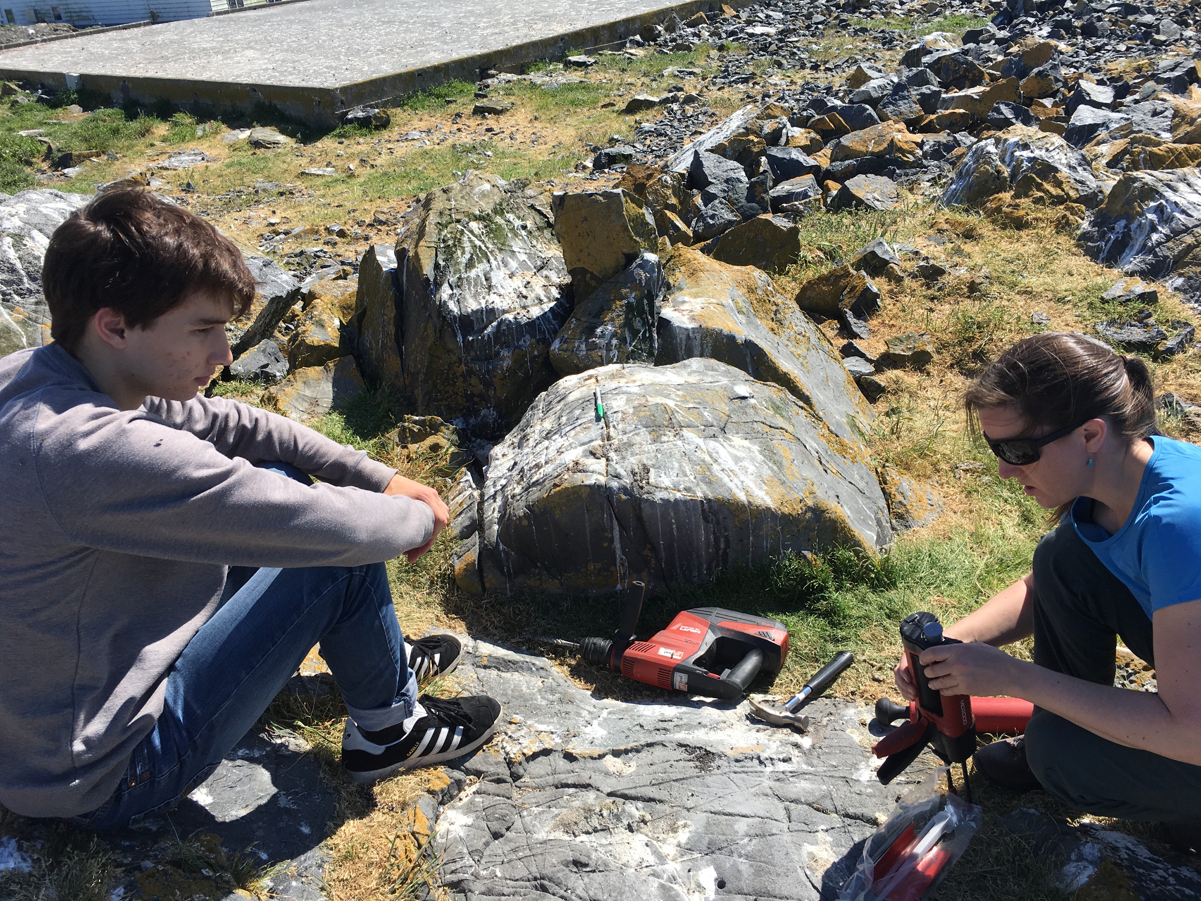
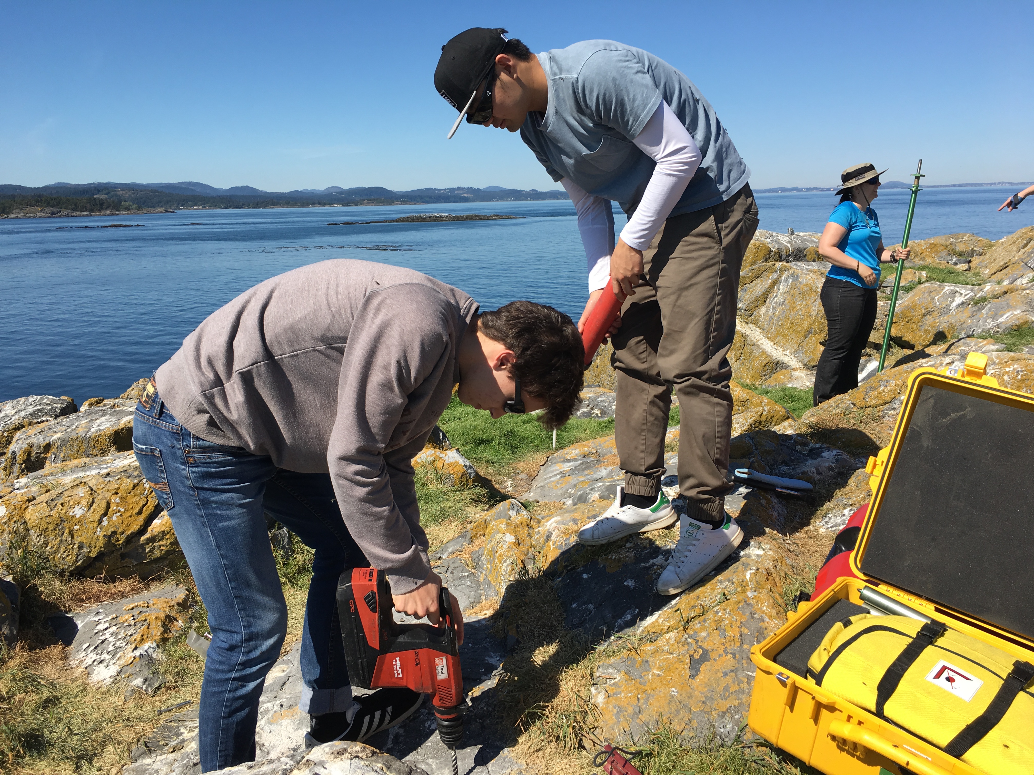
I accompanied Lucinda Leonard and two students from UVIc  Megan Caston and Yijie Zhu – they are both working towards Masters degrees in Geophysics, working on earthquakes and faults to Race Rocks along with 6 students from Pearson College for the installation of two GPS stations. Many years ago , perhaps as early as 1991, this plug had been installed a meter in front of the Camera 5 location , and it had not been rechecked since.  Laas was able to get this picture of it to verify that it was still there .

gps marker

The following is the research proposal by Lucinda Leonard, Assistant Professor (Geophysics) School of Earth and Ocean Sciences, University of Victoria PO Box 1700 STN CSC, Victoria, British Columbia, Canada V8W 2Y2

GPS Survey for Earthquake Hazard Assessment on Southern Vancouver Island

Participants: Lucinda Leonard, Assistant Professor, School of Earth and Ocean Sciences, University of Victoria
Julie Elliott, Assistant Professor, Purdue University
Yan Jiang, Research Scientist, Natural Resources Canada, and Adjunct Professor, University of Victoria 2-3 students will also take part in the fieldwork.

Objectives:

(1) To quantify seismic hazard of crustal faults on southern Vancouver Island. (2) To improve understanding of crustal deformation in subduction zone forearcs.

Scope of fieldwork:

The research project will establish and survey a relatively dense network of high-precision Global Positioning System (GPS) sites across fault zones on southeastern Vancouver Island that may host significant earthquakes. The 2018 survey will involve temporary instrument deployments at a number of pre-existing survey markers as well as new markers emplaced in bedrock. We anticipate future deployments every 1-2 years over the next 5-10 years.

Rationale:

Southeastern Vancouver Island is a region of high seismic hazard due to its location above the Cascadia subduction zone – the region is susceptible to damage from: earthquakes on the Cascadia megathrust fault offshore (magnitude ~9; similar to the devastating 2011 tsunamigenic Japan earthquake), deep earthquakes beneath the Salish Sea and Puget Sound (up to magnitude ~7; e.g., 2001 earthquake in Nisqually, Washington, that caused minor damage in Victoria), and earthquakes on poorly-understood shallow crustal faults (up to magnitude ~7.5; similar to the 2011 damaging earthquake in Christchurch, New Zealand). Crustal earthquakes, although smaller in magnitude than megathrust events, may produce strong shaking in urban areas due to their shallow source and possible close proximity. Modelling of a scenario crustal earthquake beneath the City of Victoria estimates extensive damage to 64% of building stock, 75% of the water pipeline system, and 90% of the sewer pipeline system in the city (VC Structural Dynamics Ltd., 2016).

Crustal faults remain poorly understood in the region, although recent progress includes the identification of surface-rupturing Holocene earthquakes on the Leech River fault (Morell et al., 2017) and its likely offshore equivalent, the Devil’s Mountain fault (Barrie and Greene, 2018). Fault mapping and trenching are important to determine the maximum magnitude of past and future earthquakes on individual fault strands, but these methods cannot provide accurate estimates of slip rates on fault zones, as required for input into seismic hazard assessments. GPS surveying can be used to track the relative motion of survey markers over time; a sufficiently dense GPS network can be further used to identify the location of active faults and to quantify their slip rates (e.g., Marechal et al., 2015). The existing network of continuous GPS stations on southeastern Vancouver Island is inadequate for this purpose, e.g., there are only three stations within 20 km of the active Leech River fault zone. Campaign-style deployments, repeated every 1-2 years over a time-span of 5-10 years, will provide the greater density of survey locations needed to assess strain build-up on fault zones. Several sites were established in 1991 and re-surveyed in 1996 (Henton, 2000; Mazzotti et al. 2003) – we propose to re-occupy these sites, where possible, and to establish a denser network of campaign GPS sites for temporary deployments (2-4 days at each site).

1

Methodology
Site locations:
Site requirements: accurate GPS positioning (to within 1 mm) requires the GPS antenna to have a good view of the sky in order to maximize the satellite signals received. It also requires a marker to be emplaced in a stable substrate, ideally bedrock. Thus bedrock hilltops provide optimum site locations. In this region, many optimal locations are located within parks.

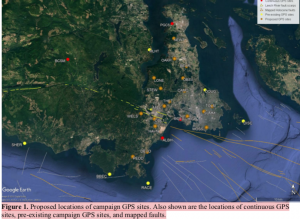
Proposed deployments include 5 pre-existing sites, in addition to ~16 new sites, at an average of ~3 km spacing perpendicular to the Leech River fault zone and adjacent faults offshore (Figure 1; Table 1). The greater number of sites to the north of the fault zone reflects greater accessibility over a larger land area in this region.

Figure 1. Proposed locations of campaign GPS sites. Also shown are the locations of continuous GPS sites, pre-existing campaign GPS sites, and mapped faults.

Table 1. Locations of existing and proposed GPS campaign sites available by contacting the research proponenet

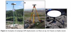
For a continuous period of 2-4 days at each site (maximum of once per year), a 1.7-m high mast with GPS antenna will be set up over an existing or new marker in the bedrock at each site, attached by cable to a receiver in a locked box on the ground. During deployment, the mast will be secured to the anchors using chains (Fig. 2a). At sites not conducive to the mast set-up, a tripod (Fig. 2b) or spike mount (Fig. 2c) will be used instead. New sites will be established by using epoxy to fix stainless steel marker pins into the bedrock. These will penetrate 6 inches into the rock, with a diameter of 0.5 inches, to lie flush with the ground surface. For mast sites, three stainless steel anchor bolts will also be bolted into the rock to a depth of ~2 inches, each attached to a 2-inch diameter stainless steel ring flush to the ground, at a distance of ~0.5 m from the central marker.

Approximate schedule for 2018 fieldwork:

The fieldwork will be carried out in August 2018, with each site being surveyed for 2-4 days. The proposed schedule is shown in Table 2 below, although actual dates may differ.

Table 2. Approximate schedule for fieldwork in August 2018 Approx. Dates Tasks

Aug 1 Aug 2 Aug 3 Aug 4 Aug 5 Aug 6 Aug 7 Aug 10

Aug 11 Aug 12 Aug 13 Aug 14 Aug 15 Aug 16 Aug 17 Aug 18

Team 1: Deploy PBHY, HIGH, SHER
Team 1: Deploy MLHT, TOLM, check others, babysit TOLM
Team 1: Stay at TOLM, check others
Team 1: Babysit TOLM, Demob PBHY, HIGH, TOLM (after 5 pm) Team 1: Demob MLHT, Deploy HAVN
Team 1: Check HAVN
Team 1: Demob HAVN after 5 pm
Team 1: Paperwork; deploy BEAR, STEW
Team 2: Deploy BBEC, DEVO, MILL
Team 1: Deploy OAKH, DOUG, check BEAR, STEW, babysit DOUG Team 2: Deploy PEDD, check BBEC,DEVO, MILL
Team 1: Babysit DOUG, check STEW, OAKH, BEAR
Team 2: Check DEVO, PEDD, BBEC, MILL
Team 1: Demob STEW, BEAR, Babysit DOUG then demob after 5 pm Team 2: Demob BBEC, DEVO, MILL
Team 1: Demob OAKH, Deploy THET, DISC (by boat)
Team 2: Demob PEDD, deploy LONE, CAMO
Team 1: Deploy WELS, MOSS, SUMM
Team 2: Deploy OBSV, check LONE, CAMO
Team 1: Check WELS, THET, MOSS, SUMM
Team 2: Check LONE, CAMO, OBSV
Team 1: Demob DISC (boat), THET
Team 2: Demob LONE, CAMO
Team 1/2: Demobilize WELS, MOSS, SUMM, OBSV

4

Plans for on-site security, site control and general safety?

The deployment of passive GPS equipment poses little risk to the public. Flagging will be placed on the equipment to mitigate any potential tripping hazards. Signs will be posted at all sites, with the following text (correct dates to be inserted): “Surveying for earthquake hazard study in progress from August 3-6 – please do not disturb. For more information, please contact Lucinda Leonard, School of Earth and Ocean Sciences, University of Victoria: 778-676-9621 or lleonard@uvic.ca”. At locations that are popular with the public, sites will be manned during daylight hours. Sites that see less pedestrian traffic will be visited 1-2 times per day during the deployment.

Data processing and analysis:

Geodetic data will be processed using standard routines to determine precise daily average locations for each site. Positional time series will be analyzed to provide site motions (direction and rate of motion) in a North America reference frame. Analysis of relative motion between sites will enable determination of strain across fault zones and improve seismic hazard assessment for southern Vancouver Island.

References:

Barrie, V., and H. G. Greene (2018), The Devils Mountain Fault zone: an active Cascadia upper plate zone of deformation, Pacific Northwest of North America, Sedimentary Geology, v. 364, p. 228-241, doi: 10.1016/j.sedgeo.2017.12.018.

Henton, J.A. (2000), GPS studies of crustal deformation in the northern Cascadia subduction zone. Ph.D. thesis, Univ. Victoria, Victoria B.C., Canada, 169p.

Marechal, A., S. Mazzotti, J.L. Elliott, J.T. Freymueller, and M. Schmidt (2015), Indentor-corner tectonics in the Yakutat-St. Elias collision constrained by GPS, Journal of Geophysical Research, v. 120, p. 3897-3908, doi: 10.1002/2014JB011842.

Mazzotti, S., H. Dragert, J. Henton, M. Schmidt, R. Hyndman, T. James, Y. Lu, and M. Craymer (2003), Current tectonics of northern Cascadia from a decade of GPS measurements. J. Geophys. Res. 108(B12):2554.

Morell, K. D., C. Regalla, L. J. Leonard, C. Amos, and V. Levson (2017), Quaternary rupture of a crustal fault beneath Victoria, British Columbia, Canada, GSA Today, v. 27, no. 3.

VC Structural Dynamics Ltd. (2016), Citywide seismic vulnerability assessment of the City of Victoria, Report prepared for the corporation of the City of Victoria, Victoria, BC, Canada, 43p, available online at: http://www.victoria.ca/assets/Departments/Emergency~Preparedness/Documents/Citywide- Seismic-Vulnerabilities-Assessment.pdf

See the follow-up  when the instrument was removed on the May 15 log

Marine Science and possible blind sea lion

Weather

  • Visibility: 15 Miles
  • Wind: 5-15 SE
  • Sky: Partly Cloudy
  • Water: Flat

Boats/Visitors

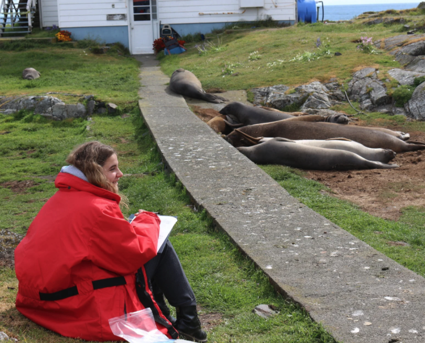
  • A couple visitors on island observing the elephant seal molt also Laura’s marine science class are doing transect studies in the intertidal zone, yesterday and today

Maintenance

  • Solar has been great lately so I haven’t had to run the generator too much and I have been able to run the desalinator periodically on solar power, still waiting for the new desalinator and once that is up running I would love to pressure wash all of the buildings, they have quite a build up of algae on them.

Ecological

  • A young stellar sea lion was acting strangely on the jetty yesterday, it wasn’t opening its eyes and it was the last one off the jetty, instead of diving off it carefully backed off the jetty tail first, it didn’t appear frail or injured but it was acting very strange which led me to think it was blind, it is branded so I am going to look for it to see if I can get a clear picture of the brand and maybe identify this sea lion and get it help if it needs it.
  • three goose nests were not able to be addled this year, so we will have some goslings running around, but the rest of the nests have been successfully addled
  • still 13 elephant seals, a few young males and mostly older females plus the male pup is still here, he seems to be doing pretty well although he does go swimming I’m not sure if he has started hunting yet