“The number of living creatures of all orders whose existence intimately depends on kelp is wonderful…I can only compare those great aquatic forests…with terrestrial ones in the intertropical regions. Yet if in any country a forest was destroyed, I do not believe nearly so many species would perish as would here from the destruction of kelp”
Thus commented Charles Darwin on kelp. Pterygophora californica commonly known as stalked kelp) which is part of the great kelp family that act as the trees of the oceans. This species is present, amongst other places, at Race Rocks.
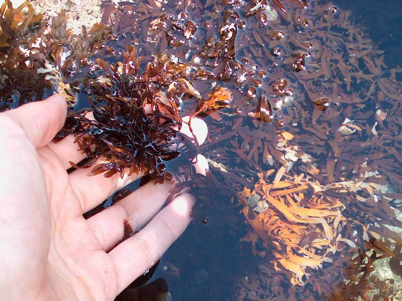
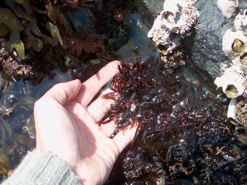
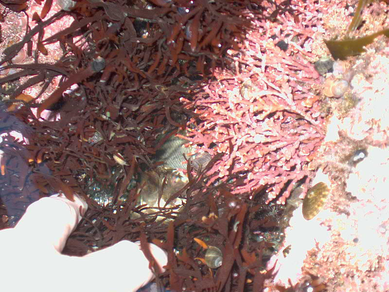
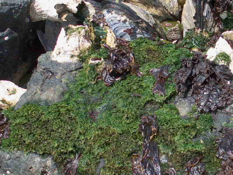
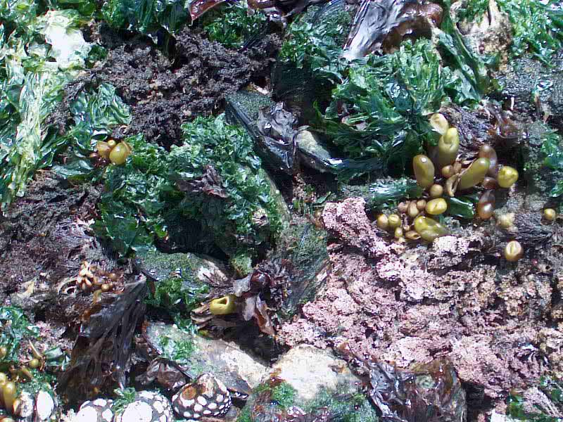
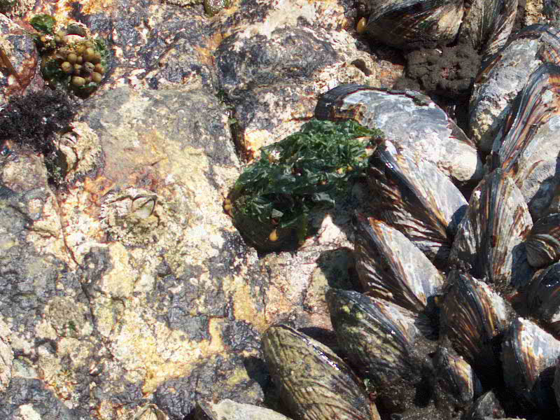
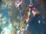
BIOTIC ASSOCIATIONS: Ryan Murphy, (PC yr 26) obtained a grant from Mount Allison University in June of 2002 to help him do a project on macroalgae at Race Rocks. In this video below , he captures some of the many epiphytes growing on the perennial Pterygophora californica, a brown algae which grows sub-tidally to a depth of 12 meters at Race Rocks. It is a valuable habitat for the many invertebrates in the subtidal and serves as a buffer to storm surges. From June 2-14 a group of students from Pearson College stayed at Race Rocks for the Johan Ashuvud project. Meet the webcrew here
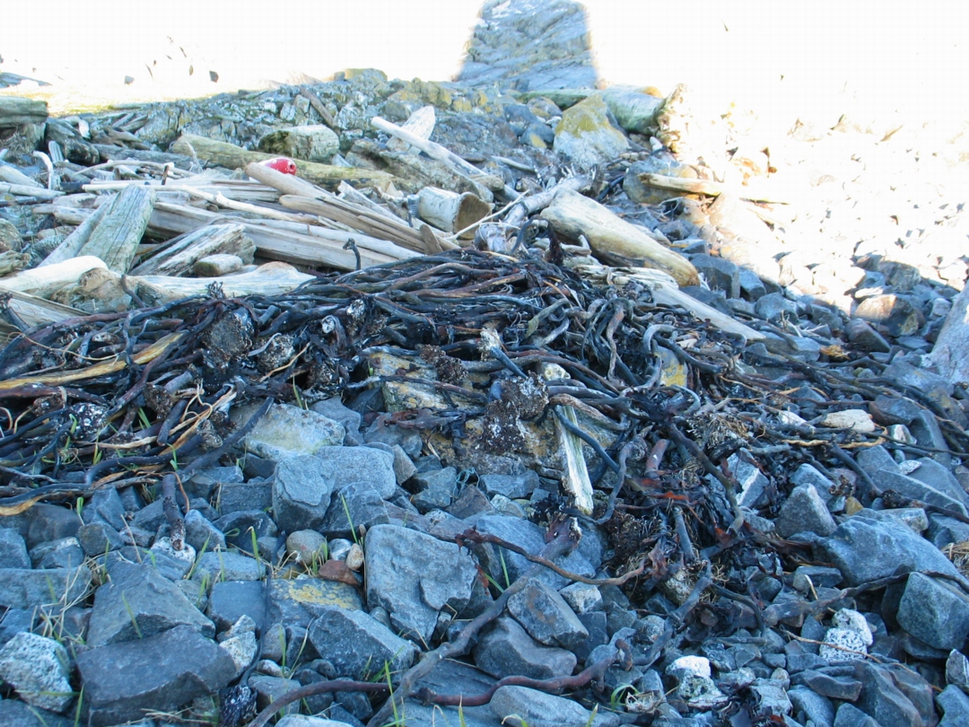
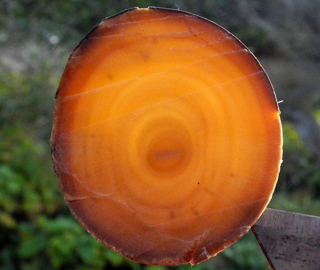
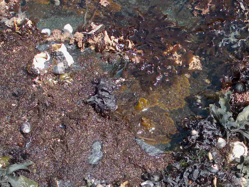
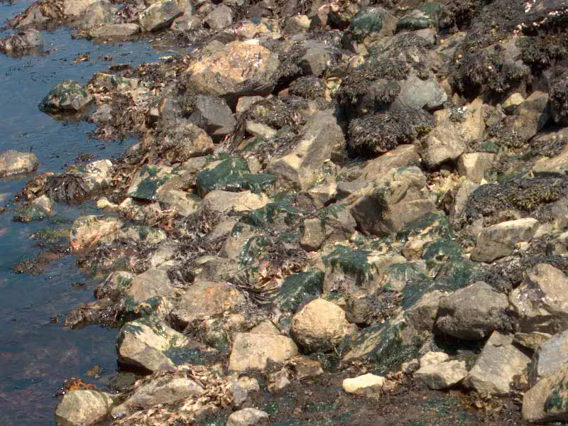
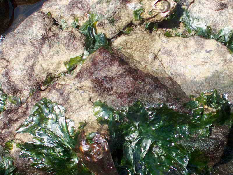
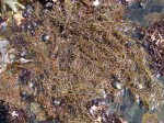
Like other kelp species, this one can mostly be found in subtidal zones. It occurs in subtidal zones mostly up to 12 meters of depth. It is mostly found therefore in subsurface canopies of kelp forests. For this reason it is able to live well around the islands of Race Rocks. The Stalked Kelp grows up to 2 meters in length. It has a straight or gnarled, woody undivided stalk and smooth , strap-like blades extending on opposite sides from the top half of the stalk . The end of the stalk results in a terminal blade with midrib and the stalk develops rings as the years go by similar to those of a tree. Pterygophora is an excellent example of a long -lived perennial seaweed. The blades usually degenerate or wear away in winter and new ones are produced each spring. Often, violent winter storms tear up some of the anchored kelp and deposit it on beaches as in the photo above.
Stalked kelp can reach an age over 17 years. It is possible to find out the exact age of a stalked kelp plant by cutting it down (best to use drift ones that are already detached) and counting the rings in its stalk. At Race Rocks this type of kelp provides habitat for a number of fish and invertebrates and a large community of epiphytic algae.
-
-
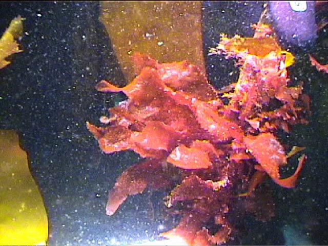
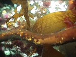
L. saccharina and other kelp species on the stipe of P. californica
-
-
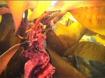
L. saccharina and a brooding anemone on the stipe of P. californica
-
-
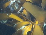
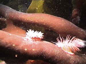
S. droebachiensis another grazer on P. californica sporophylls
-

-
Another epiphytic rhodophyte
-
-
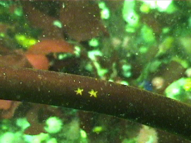
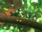
Star-shaped scars left from sea urchin bites
-

-
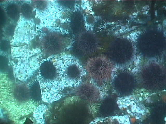
Strongylocentrotus purpuratus: a kelp grazer
-
-
More scarring left from the Aristotle’s lanterns of sea urchins
Domain: Eukarya
Kingdom: Protoctista
Phylum: Phaeophyta
Class: Phaeophyceae
Order: Laminariales
Family: Alariaceae
Genus: Pterygophora
Species: californica (Ruprecht)
Common Name: Stalked Kelp
Description: This plant has a large stout holdfast of branched root-like structures, and a woody stipe up to 2 m. long and 2 cm. in diameter. The stipe is terete below and flattened at the apex. A terminal flat, smooth blade arises from the apex of the stipe; it is linear, 6-10 cm. wide, 60-90 cm. long, and tapers in the attachment region. Sporophylls are pinnately arranged along the two sides of the flattened portion of the stipe. The sporophylls are linear, approximately the same shape and size as the terminal blade; up to 20 occur on each side.
Habitat: On rocks in the upper subtidal zone and down to a depth of about 5 fathoms.
Pacific Coast Distribution: British Columbia to Mexico.
Reference:
Guide to Common Seaweeds of British Columbia, by R.F Scagel, Printed by K.M Macdonald,1972
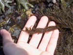
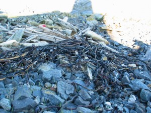 In the winter storms the woody Pterygophora stipes or stems often end up in drifts on the rocky beach. This photo was taken by G.Fletcher in February 2007. |
 The stars on the stipe of Pterygophora were made by a sea urchin grazing. . Photo by Ryan Murphy |
 Annual rings in a cross-section of the stipe of Pterygophora : G Fletcher photo |
 The Race Rocks taxonomy is a collaborative venture originally started with the Biology and Environmental Systems students of Lester Pearson College UWC. It now also has contributions added by Faculty, Staff, Volunteers and Observers on the remote control webcams. -Ryan Murphy PC yr 26 The Race Rocks taxonomy is a collaborative venture originally started with the Biology and Environmental Systems students of Lester Pearson College UWC. It now also has contributions added by Faculty, Staff, Volunteers and Observers on the remote control webcams. -Ryan Murphy PC yr 26 |