BACKGROUND: As you encounter different ecosystems representing a wide range of ecological niches in different parts of the world, you will begin to notice that there are many examples of organisms which may not even be related which play the same role in the ecosystems of widely separated geographic areas. I came across several examples which may be considered “ecological equivalents” while spending a week aboard the vessel “Samba” in the Galapagos Islands in June 2003. Although separated by 47 degrees of latitude and thousands of miles, surprisingly there are several examples of ecological equivalents on the island archipelagos of Race Rocks and the Galapagos. Islands.
DEFINITION.…Ecological equivalents : species that use similar niches in different habitats or locations are called ecological equivalents .The evolution of life has resulted in general types of habitats and certain successful ways of exploiting the resources in those habitats. Parallel evolution has resulted in unrelated species that have similar niches in different environments.
ECOLOGICAL EQUIVALENTS : GALAPAGOS ISLANDS VS. RACE ROCKS
-

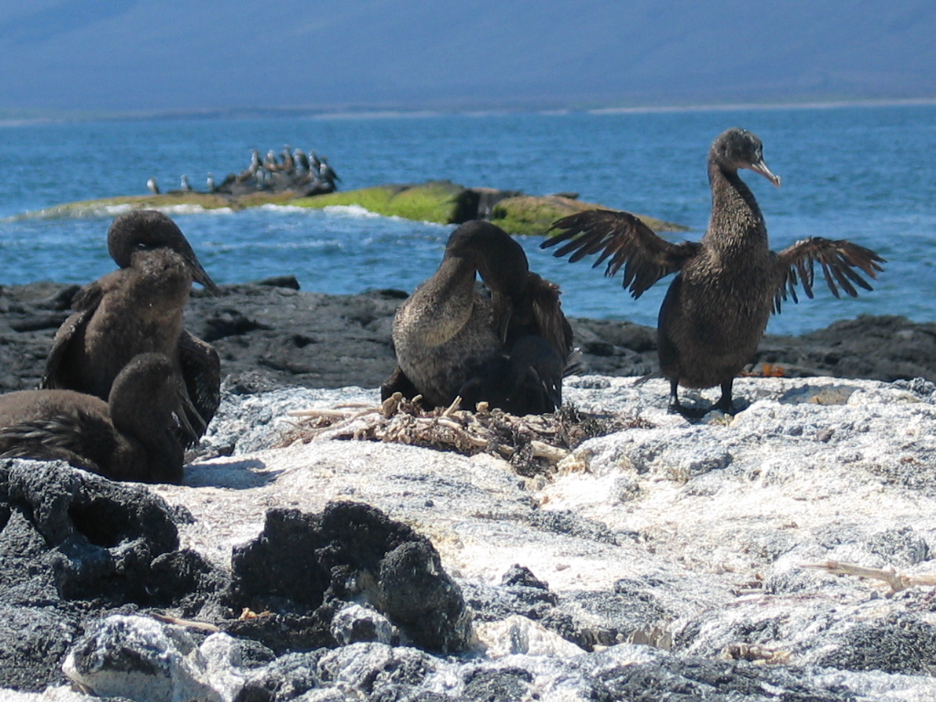
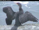
- ON THE GALAPAGOS ISLANDS: Flightless Cormorants (Nannopterum harrisi) are endemic to the Galapagos.
-
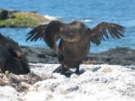
- There are only around 800 breeding pairs of this bird in the world,

-

- and of the 28 species of cormorants that exist, this one is the only flightless one and the only one in a separate genus.
-

- These photos are from the West side of Isabella Island.
-

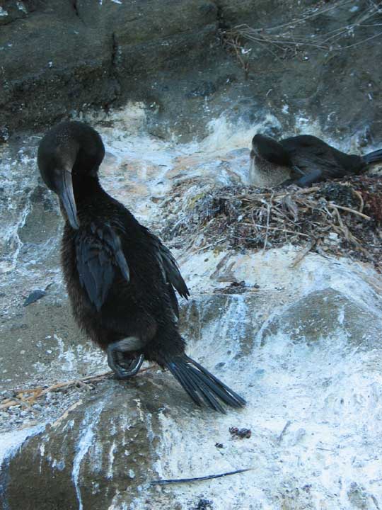
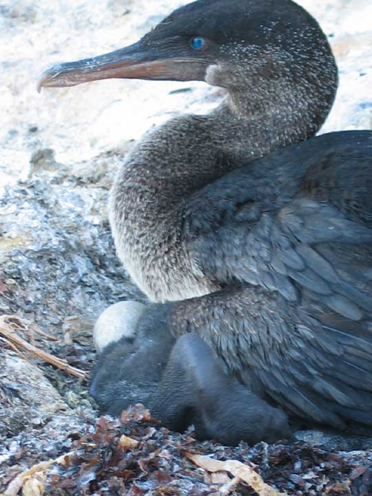
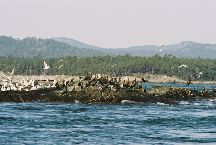
- ON RACE ROCKS:: Winter 2001– a mixture of Double-crested cormorants (Phalacrocorax auritus) Brandt’ s cormorants (Phalacrocorax penicillatus) and (Phalacrocorax pelagicus) Pelagic cormorants at Race Rocks.
-
- Double crested cormorant on the west side of Great Race Rocks (picture taken remotely by camera5). Note wing drying behaviour and compare the wing size and structure with that of it’s flightless cousin.

-

- Three species frequent the Race Rocks Area but only the Pelagic Cormorant Phalacrocorax pelagicus nests there. The cormorants in both geographic locations dive for their prey from a swimming position, and use powerful leg muscles to propel webbed feet, placed far back on the body to pursue the small fish species.
-

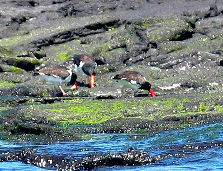
- ON THE GALAPAGOS ISLANDS:The American Oystercatcher Haematopus palliatus frequents the same low-intertidal zone in the Galapagos as its equivalent at Race Rocks, Differing only in color, the two species have similar beak structures, evolved for prying and hammering of small molluscs.
-
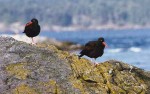
- ON RACE ROCKS:The Black Oystercatcher Haematopus bachmani fills the equivalent ecological niche in the Pacific North East. There are usually up to 6 pairs that nest on Great Race Rocks in April each year.

-

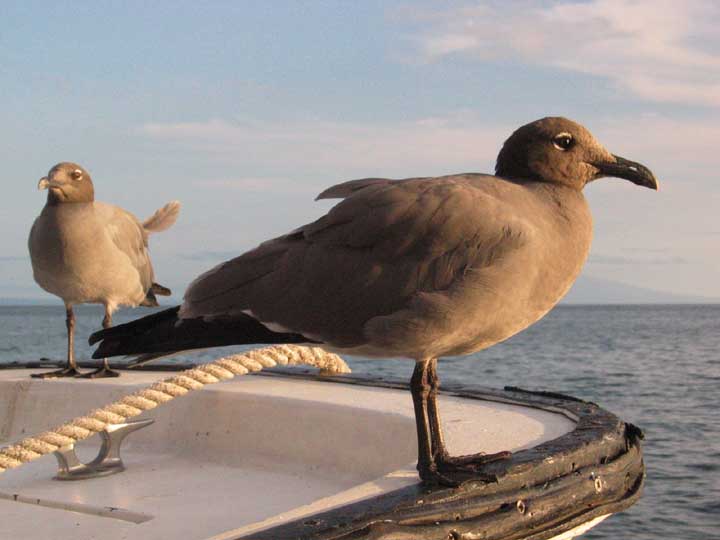
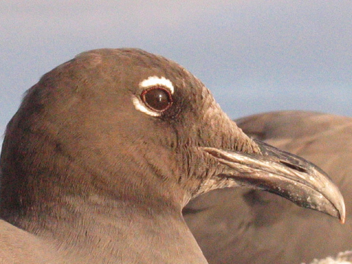
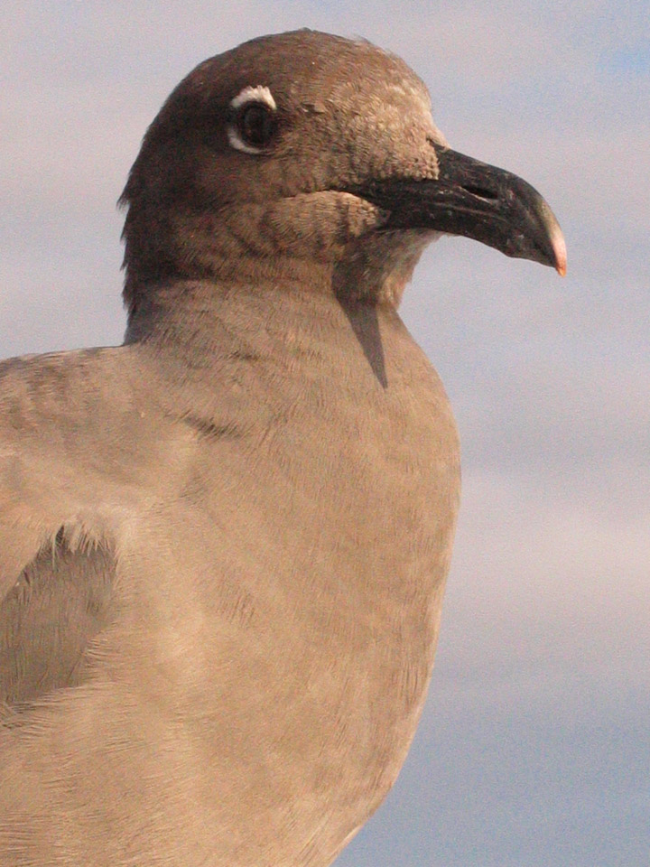
- ON THE GALAPAGOS ISLANDS: The lava gull, Leucocephalus fulginosus
-

- There are only 400 breeding pairs of this endemic species in the world, all endemic to these islands.
-
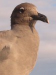
- One afternoon this pair followed our boat for some time. They occupy the typical role of a scavenger species.
-

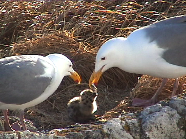
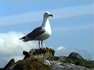
- ON RACE ROCKS:he Glaucous-winged Gull Larus glaucescens although much larger than the lava gull, occupies a similar ecological niche.
-

- This is the only gull species that nests on Great Race Rocks, although several other gull species are present in large numbers through the winter months.
-
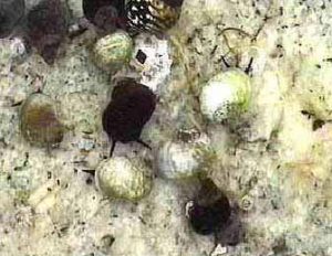
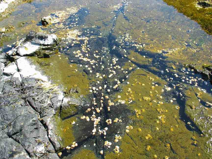
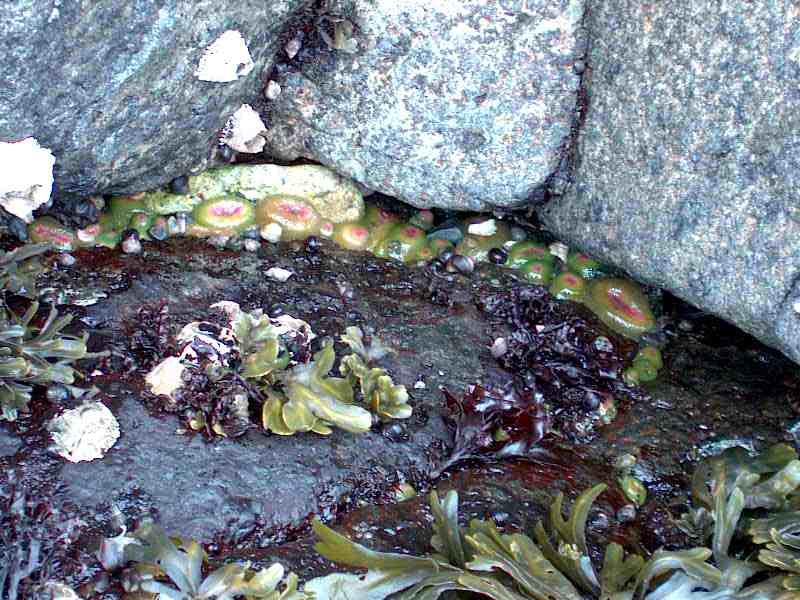
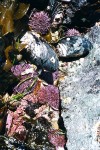
- ON THE GALAPAGOS ISLANDS:This intertidal anemone was seen frequenting the mid-intertidal areas, this one is in a tidepool of a lava reef near a sand beach. Their coarse tentacles catch morsels of live and dead animals.

-
- ON RACE ROCKS : The intertidal anemone Anthopleura elegantissima is very abundant in the mid intertidal. The main difference in ecological niche being that in this anemone, symbiotic algae inhabit the tissues.
-
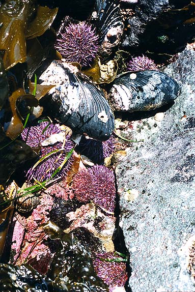
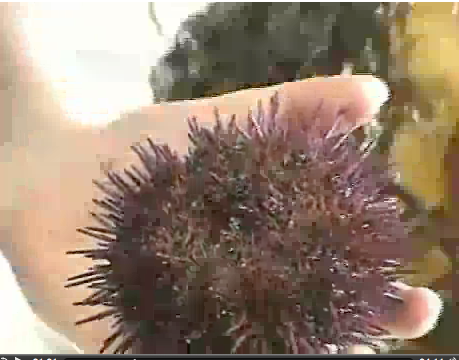
- ON THE GALAPAGOS ISLANDS: The Pencil urchin presents a more robust design, but occupies a similar niche in the low intertidal zone
-
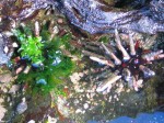
- –but occupies a similar niche in the low intertidal zone

-
- ON RACE ROCKS: Three species of sea urchin occupy at Race Rocks. Certainly the purple urchin, Strongylocentrotus purpuratus is the one with the nearest similarities of ecological niche requirements.
-
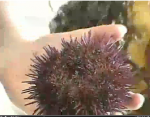
- It does not however burrow into the stone as the pencil urchins do. Note that both species tend to use surrounding materials as sheltering tools.
-

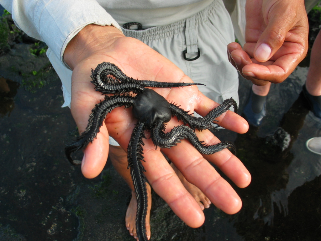
- ON THE GALAPAGOS ISLANDS
-
- Peering into a shallow tidepool on Bartholemew Island. I was surprised to see several very large and robust species of brittle star

-
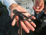
- They as their northern counterparts also preferred to seek shelter under rocks in the pool.
-
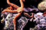
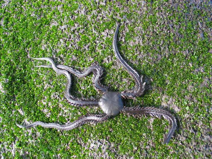
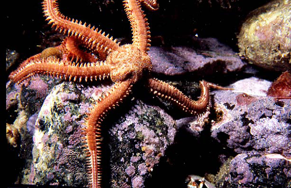
- ON RACE ROCKS : Our brittle star, Ophiothrix spiculata occupies a similar niche, although they have a very different coloration.
-
- They occur at various depths subtidally around the islands. Occasionally they may be seen exposed on extreme low tides. They do not however inhabit the tide pools.

-
- ON THE GALAPAGOS ISLANDS: This species is endemic to the Galapagos and was seen in the tidepools of Bartholomew island .
-
- ON RACE ROCKS: There are s number of chiton species that occupy a similar ecological niche. Perhaps Katharina tunicata is one of the closest parallels to the Galapagos species
-
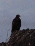
- ON THE GALAPAGOS ISLANDS: The Galapagos hawk is another endemic species. Eating snakes and taking some birds, it occupies the top predator role for many of the islands
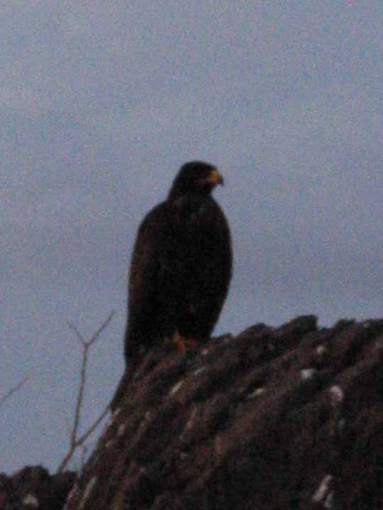
-

- ON RACE ROCKS: Occasionally other raptors such as red-tailed hawks and peregrine falcons come by the islands almost daily.
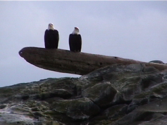
-
- but the Bald Eagles, Haliacetus leucocephalus are common visitors, sometimes daily in the reserve at Race Rocks.

-
- ON THE GALAPAGOS ISLANDS: The california sea lions, Zalophus californianus californianus of Race Rocks are migratory, and do not raise young there.Most notable was the incredible tameness of the sealions in the Galapagos, probably since they have evolved in an area lacking terrestrial predators.
-
- This species also feeds on fish as does it’s northern neighbours, but isolation has produced a separate, much smaller subspecies here called Zalophus californianus wollebaeki. See ,more pictures of this subspecies
-
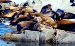
- ON RACE ROCKS : The california sea lions, Zalophus californianus californianus of Race Rocks are migratory, and do not raise young there.
-

- Their other niche requirements are fairly similar, but the northern version is larger, perhaps because of the cold water temperature.

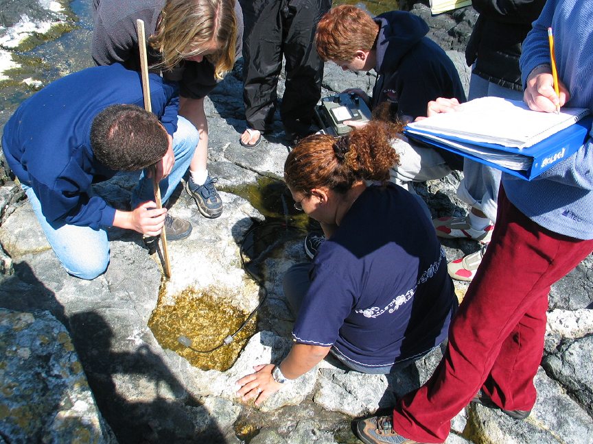
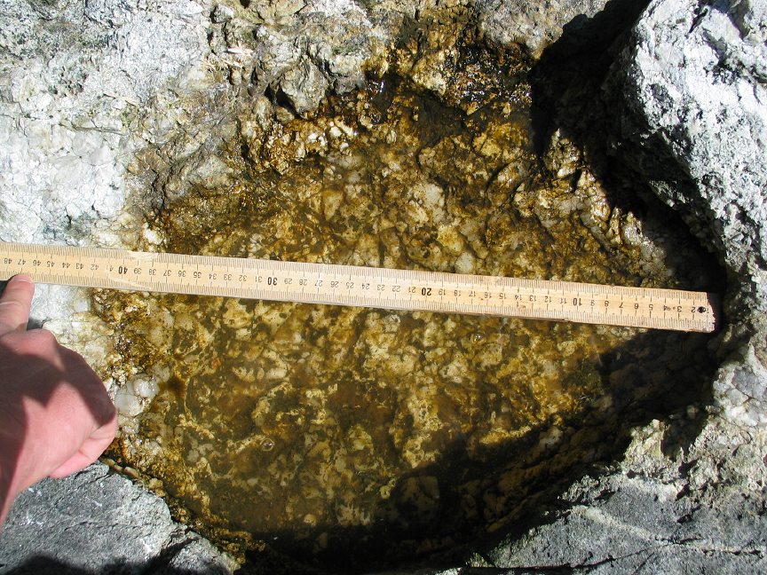

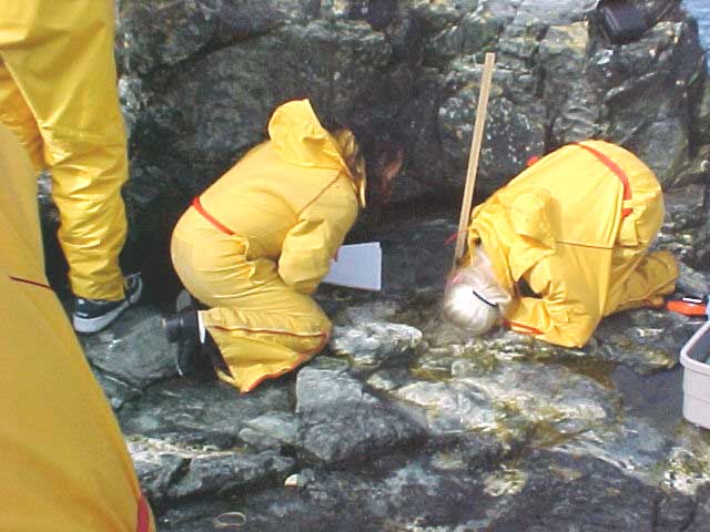
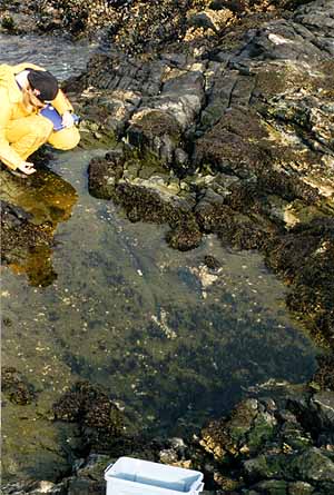
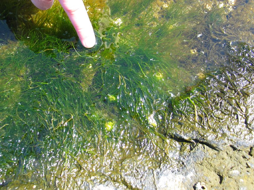
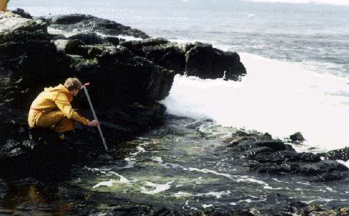
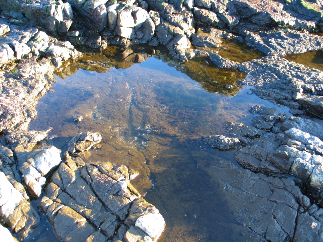
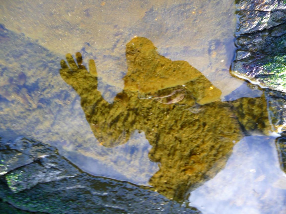
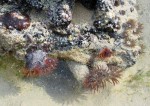
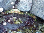
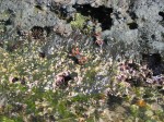
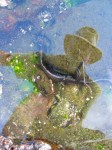
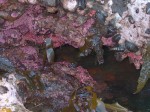
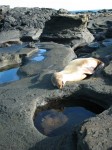
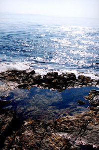 A general view of the pool.It is perched on a shelf which easily gets flooded when there is a slight swell in the ocean.