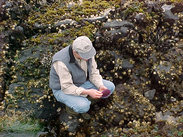
Excerpts from the June 13, 2000 live webcast from underwater at Race Rocks. Northern sea lions visit the divers and end up by giving an aggressive threat display. One sea lion dives at the diver, then veers off at the last moment. This display is often accompanied by the snapping of teeth. Listen for it as the animal makes a close approach. It is adviseable that when sealions exhibit this behaviour it usually means you are encroaching on their territory and it would be best if you leave.
The Johan Ashuvud Project, 2000
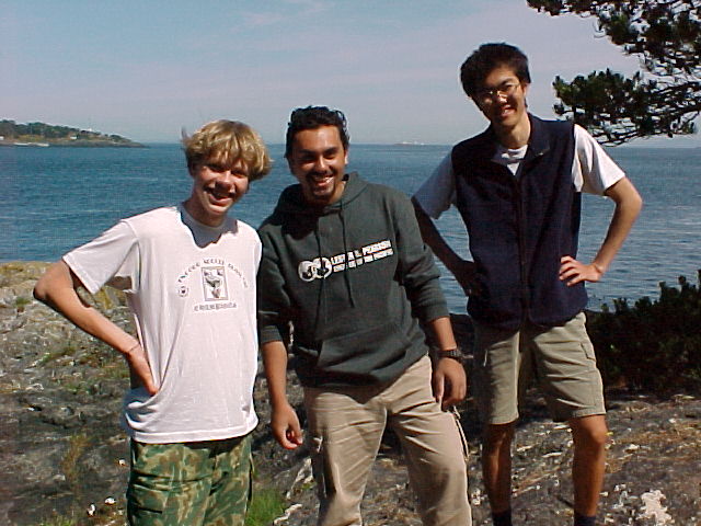
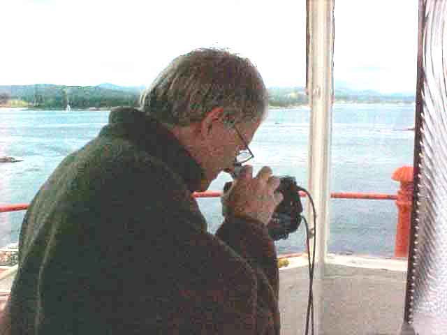
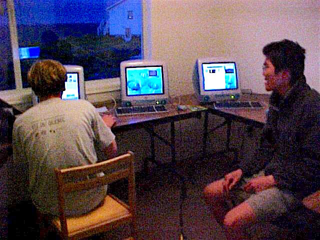
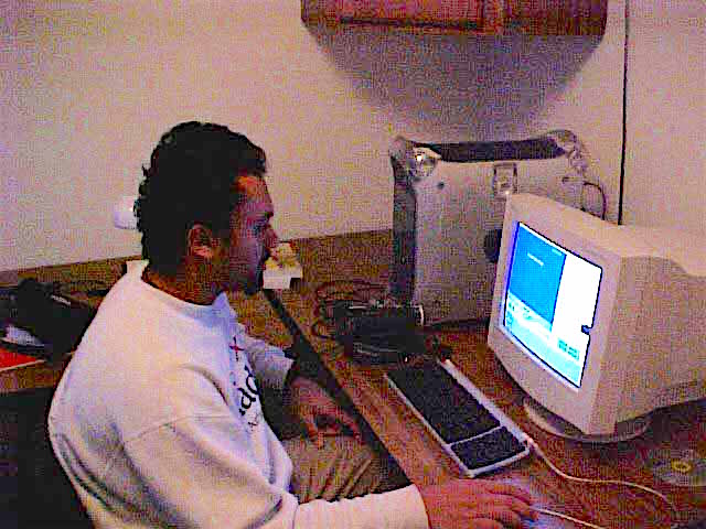
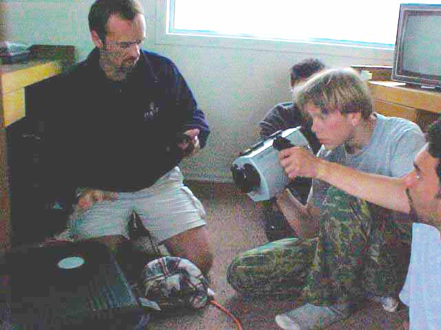
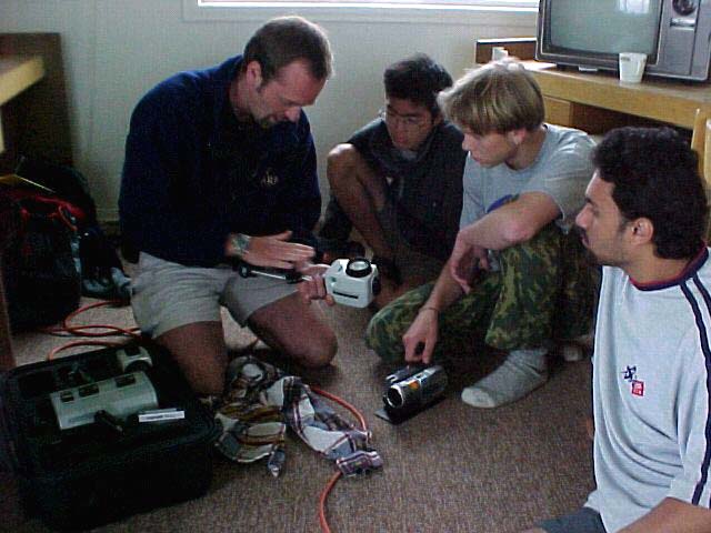
Victor David and Satoshi: For two weeks in May and June of 2000, Lester Pearson College graduating students, Victor Rakou, David Mesiha and Satoshi Kimura, and in the last week, Juan Manuel Alva and Martin Kryl, joined the sea gulls and stayed at Race Rocks running daily programs on a live camera, and broadcasting directly to the web. Faculty member Garry Fletcher worked with them for the daily webcasts from the shore and from underwater. Sponsorship for this week came from the Johan Ashuvud memorial fund.
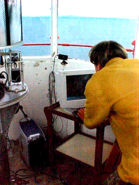
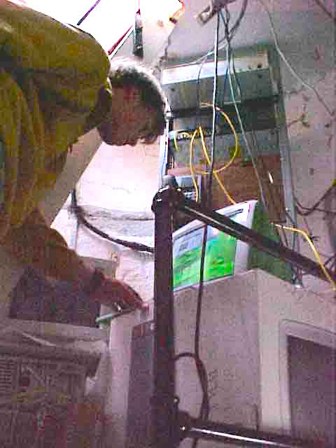
The first big event was the Swiftsure Race Weekend. A camera was set up along with a supporting G4 computer in the top of the light tower. Two streams were broadcast, one to camera 4 on the website and a special experimental dedicated stream to Shaw Cable. This stream was of TV quality at 1Mbps and 21 FPS.
Our thanks to Kevin Sytsma of LGS for coming out to help setup for this 2 day broadcast and to Ken Dunham ( PC year 9) for reconfiguring the server from Ottawa in order to handle this experiment.
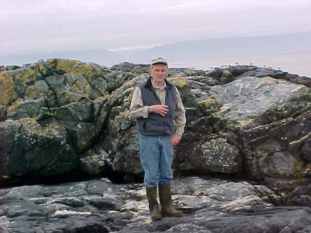
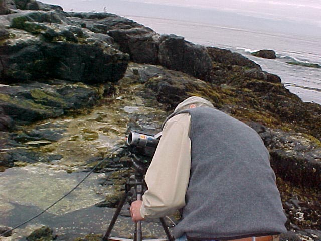
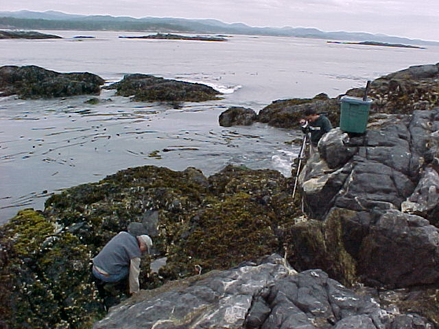
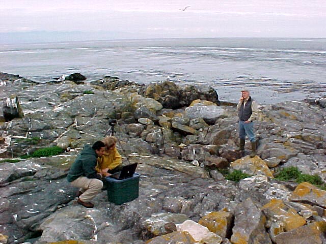
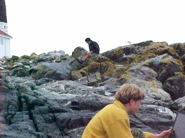
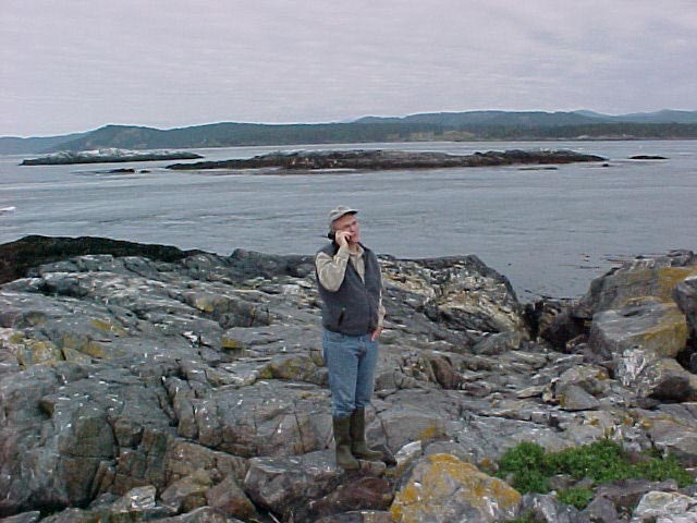
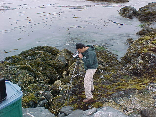
Each day at Low tide we set up in different locations around the island, always being careful to not disturb the nesting seabirds futher up on land. A Sony camera linked by Firewire to a G3 500 Mghz computer was located in the intertidal zone. From here, Audio and Video Signal went by the wireless Macintosh AirPort Link to the Science Centre. From here the signal traveled by Cat.5 cable to the top of the light tower where it was sent by radio to the Telus antenna at Lester Pearson College. From there it was webcast in live streaming video to the internet by a Macintosh G4 500.
Content through the week ranged from adaptations of organisms to the special ecological niches of tidepools and intertidal slopes, to First Nations use of resources and the role of community/ stakeholder participation in the Marine Protected Areas Pilot process.
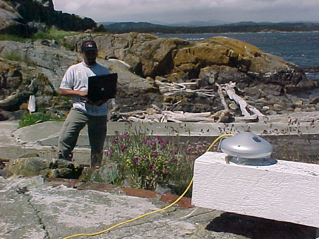
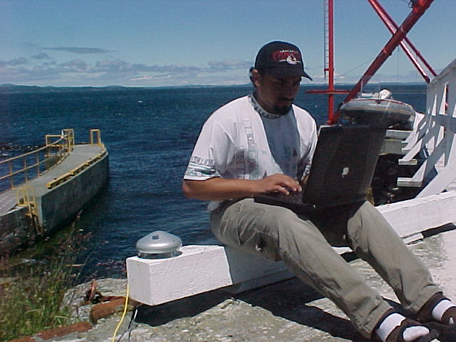
The airport wireless base station was tried in a number of locations. We relied on David to find the best locations for connectivity. Best wireless transmission was achieved when we hoisted it up to the roof of the science house. The radio waves go through buildings but not through rocks!
Further editing for the video archives took place in the science centre in the evenings.
Video created this week by the team:
 |
 |
 |
 |
| Underwater Invertebrates and Fish | On the last day of live webcasting, sea lions visited | Glaucous-winged gull behaviour | Gull territorial aggression |
Chris Blondeau from Lester Pearson College joined us for a session on the care and maintenance of the underwater camera and housing. Chris is in charge of the shore-front at the college and is in charge of the SCUBA Diving program there.
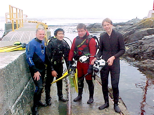
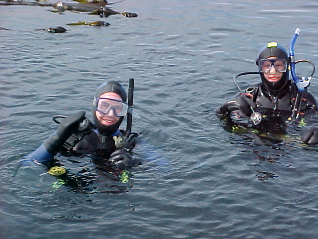
We were also fortunate to have some visitors take part in the intertidal discussions we had on the islands. Dr. Jochen Kuum ( PC year 10) is seen here with Garry and diving with Satoshi and Victor Stephen Haggarty (PC year19) also participated above and below water. This video was made on the last dive
-
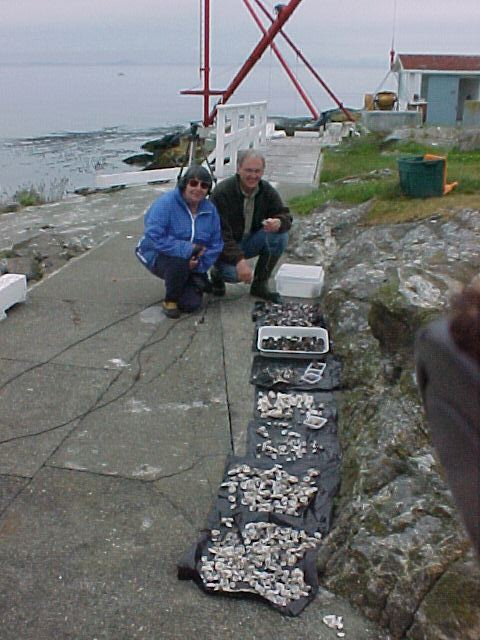
- Carol and garry with assorted shells from Black Oystercatcher midden.
-
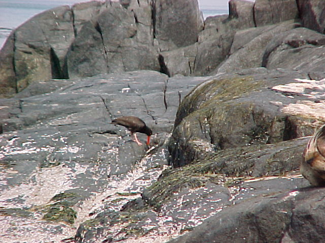
- Black Oystercatcher
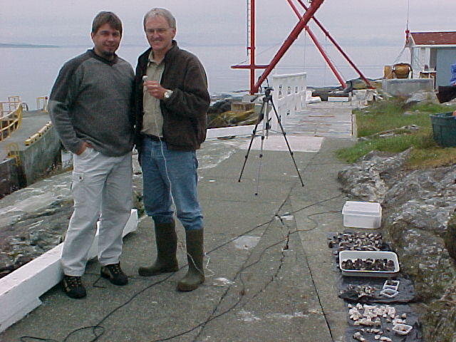
Carol Slater, who along with her husband Mike are the guardians of the MPA joined us to talk about the Black Oyster Catcher. We examined the trays of shells from last years midden of one nest. This parent bird was foraging off to the East of the dock where they hatched two chicks this year
-
- Victor checking it out for the Russian Navy!
-
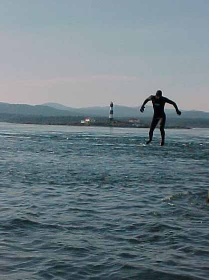
- Mysterious UFO South of Race Rocks~
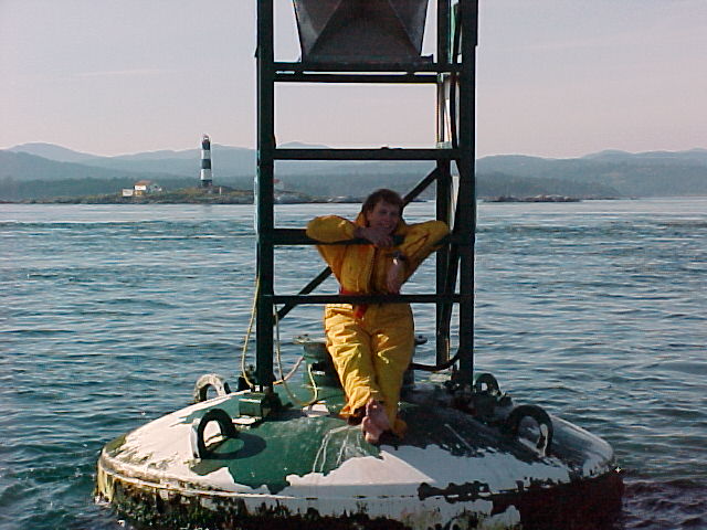
Race Rocks viewed from the South at Rosedale Rocks Buoy.
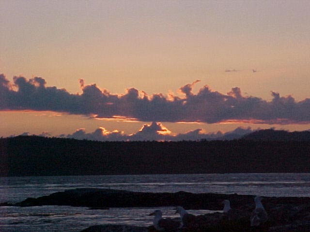
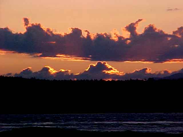
One of the best parts in staying at Race Rocks overnight while doing these webcasts was the great sunsets. Sometimes you can view these on the remote control camera 1 and camera 5.
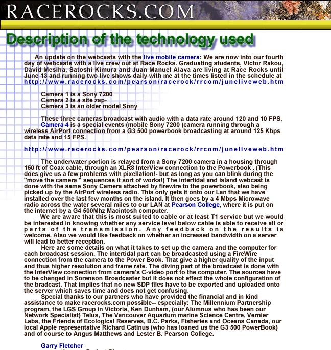
Archive: description of webcasting process ,June 2000
This screen capture gives an explanation of how we did the first live webcasting for a week from Race Rocks in June 2000
Live Transmission to the Internet from Underwater-2000
n June 2000, Lester B. Pearson College divers stayed at Race Rocks for two weeks, for the Johan Ashuvud Week doing live underwater transmissions to the internet. This video is a sample of scenes from the live webcast. It shows some of the colourful invertebrate life at 8 meters depth, on the north side of Great Race.
See https://www.racerocks.ca/the-johan-ashuvud-project-2000/
Live Webcast Dive June 2000
This video was part of a live webcast done in June 2000. The divers explore some of the invertebrate and algal life at the 10 meter depth straight out from the docks at Race Rocks.
shoretest_300.mov
Webcasting from Race Rocks for the Johan Ashuvud Project week in 2000.
For two weeks in May and June of 2000, Lester Pearson College graduating students, Victor Rakou, David Mesiha and Satoshi Kimura, and in the last week, Juan Manuel Alva and Martin Kryl, joined the sea gulls and stayed at Race Rocks running daily programs on a live camera, and broadcasting directly to the web. Faculty member Garry Fletcher worked with them for the daily webcasts from the shore and from underwater. Sponsorship for this week came from the Johan Ashuvud memorial fund.
Pictures toFiollow
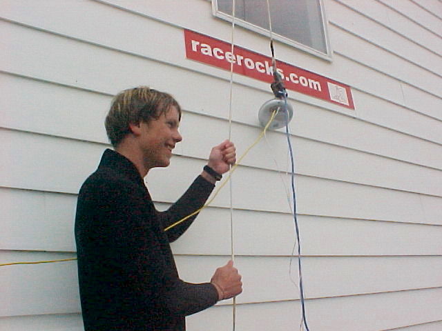
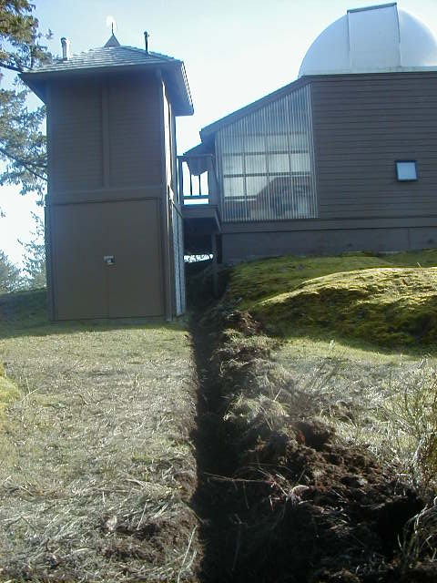
Building the LAN for Race Rocks ( racerocks.ca)
Digging the Trenches for cable:
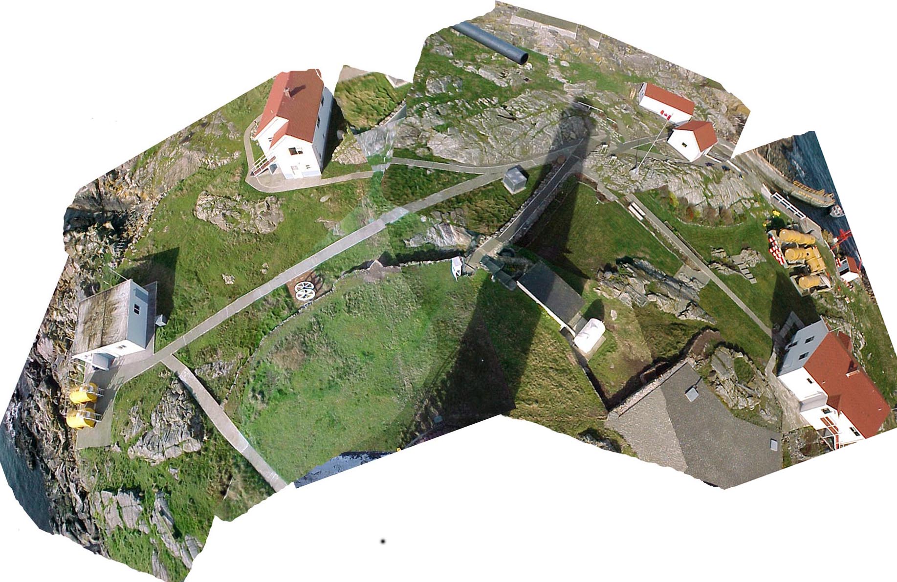
At Race Rocks: This composite image was made from a set of images taken from the balcony on the tower in mid-May of 2000. The route of the conduit installed in February is barely evident in the grass areas.
At Pearson College: Behind the observatory at Lester B. Pearson College, this trench carries the cable from the antennae donated by Telus to the observatory.
Environmental Systems Field Exam 2000
The end of term exam in the first year environmental systems class is always held at Race Rocks. These images were taken as the students worked at the various stations on the island in mid-May of 2000.
Zooplankton (macro) at Race Rocks
In mid May 2000, this video was taken of some of the varieties of zooplankton found by diving on an ebb tide at the end of the docks on the North side of Race Rocks.
Maps and compliance concerns of MPAs
Posted on May 15, 2000 –
Maps and compliance concerns
Marc Pakenham, a community advisor for Canada’s Department of Fisheries and Oceans (DFO), said the maps used to plan the Race Rocks Pilot MPA, off the nation’s west coast, have held different meanings for different people. “They’re a visualization of what’s being set aside, from one perspective, and what’s being taken away, from another perspective,” he said.
Negotiations on the boundary of the Race Rocks Pilot MPA — a no-take zone for commercial and most sport fishing — were not easy. Ironically, difficulties arose over the government’s attempt to define a relatively linear boundary line so as to ease compliance for fishermen; with a linear boundary, the government reasoned, fishermen would be able to tell more readily whether they were inside or outside the MPA. Fishermen, however, saw the linear boundary as an attempt to expand the MPA beyond the bounds of a 1980 declaration by the British Columbia provincial government that had already established Race Rocks as an “ecological reserve”. The 1980 boundary was much more amoeba-like in shape and based on inexact bathymetric data, roughly approximating a 20-fathom (36.6 meter) contour.
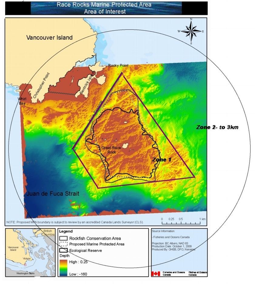
This proposal was not accepted by the fishermen
“The fishermen said they were willing to agree to a no-take zone following the 1980 boundary — because Race Rocks represented an important, biodiverse area — but that they wouldn’t agree to anything bigger,” said Pakenham. The government and other stakeholders agreed to this, despite the compliance challenges posed by a serpentine boundary. “The fact that the MPA is supported by the various stakeholders goes a long way toward ensuring better compliance,” said Pakenham.
Compliance is a major issue for Race Rocks due to its small size. Consisting of exposed rocks surrounded by strong currents and upwellings, the Race Rocks Pilot MPA is smaller than one square mile (2.6 sq. km) in area. If a fishing boat crosses the boundary by 100 meters, it is already well into the no-take zone. Pakenham said he counted on the recent de-scrambling of satellite signals from the US-operated global positioning system (GPS) to aid fishermen in knowing exactly when they are in the protected area. “Mapping is only as good as people’s understanding of where they are,” he said.
See this post on Proposals for: Future Modification of the boundaries of the Race Rocks MPA