New Eco-Guardians, Many Visitors, and Catastrophic Moults

We’re Mara and Kai, the new Eco-Guardians. We’re very excited to be on Race Rocks. It’s been a busy few days (we arrived Monday), but lots has been done so far. Now that we are settling in, we’ll be sure to log post more frequently and with pictures!

Weather:

Visibility: 20 miles

Wind: 30 knots S

Sky: Overcast

Water: Waves up to half a metre, whitecaps

Boats/Visitors:

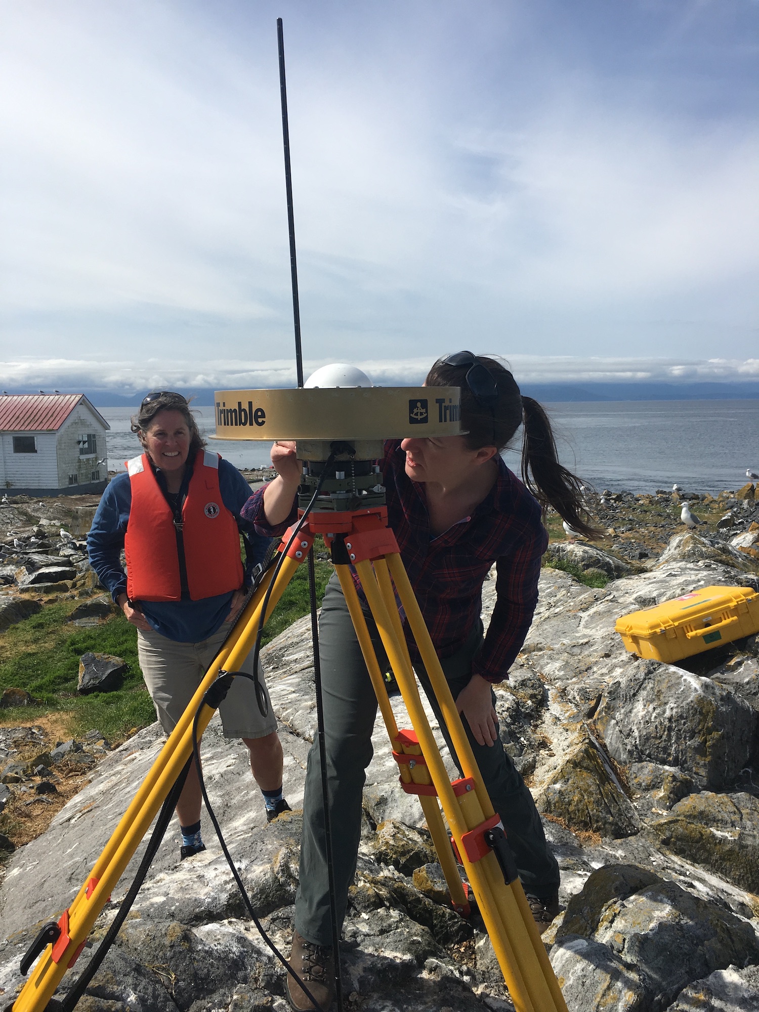
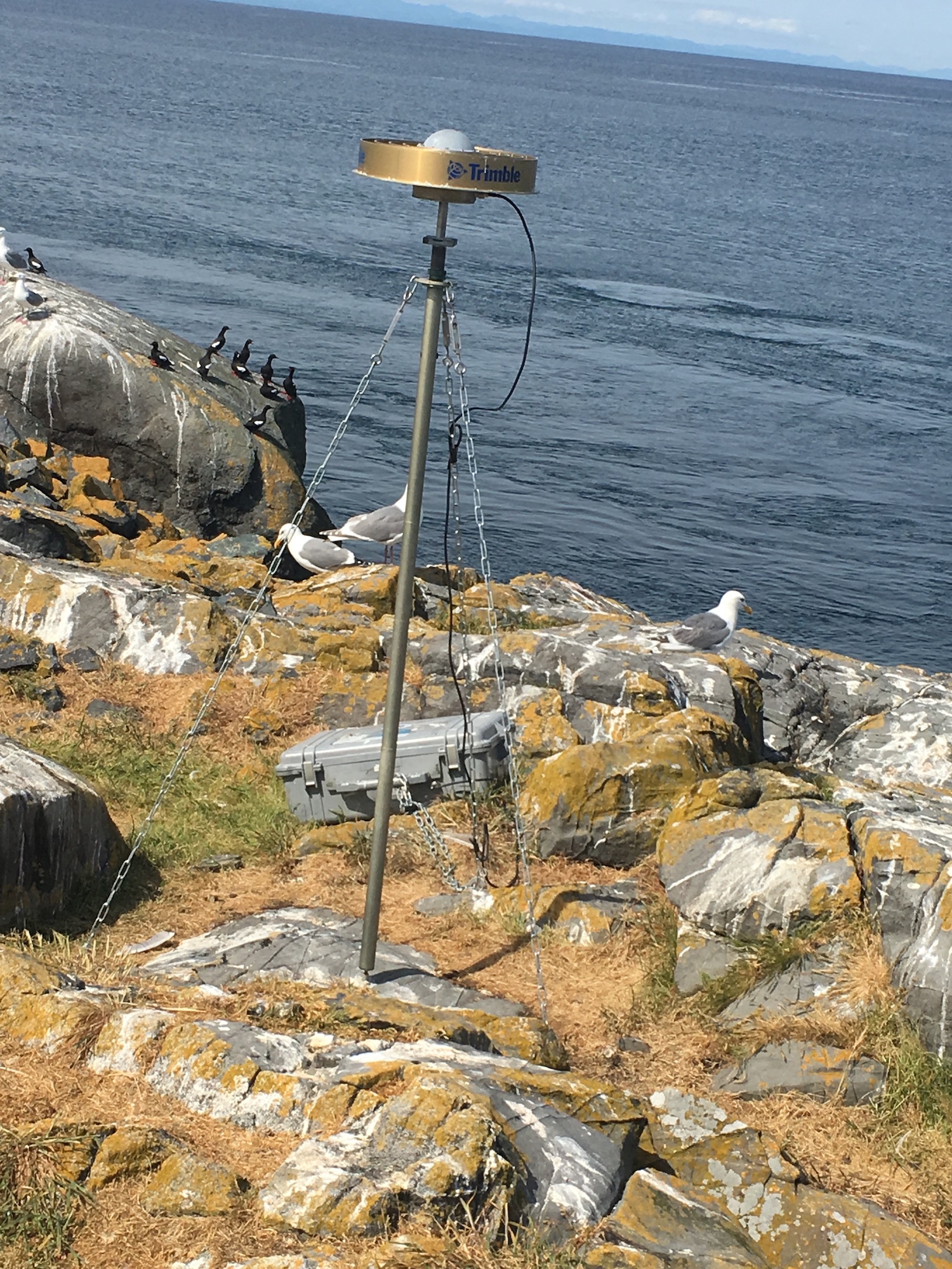
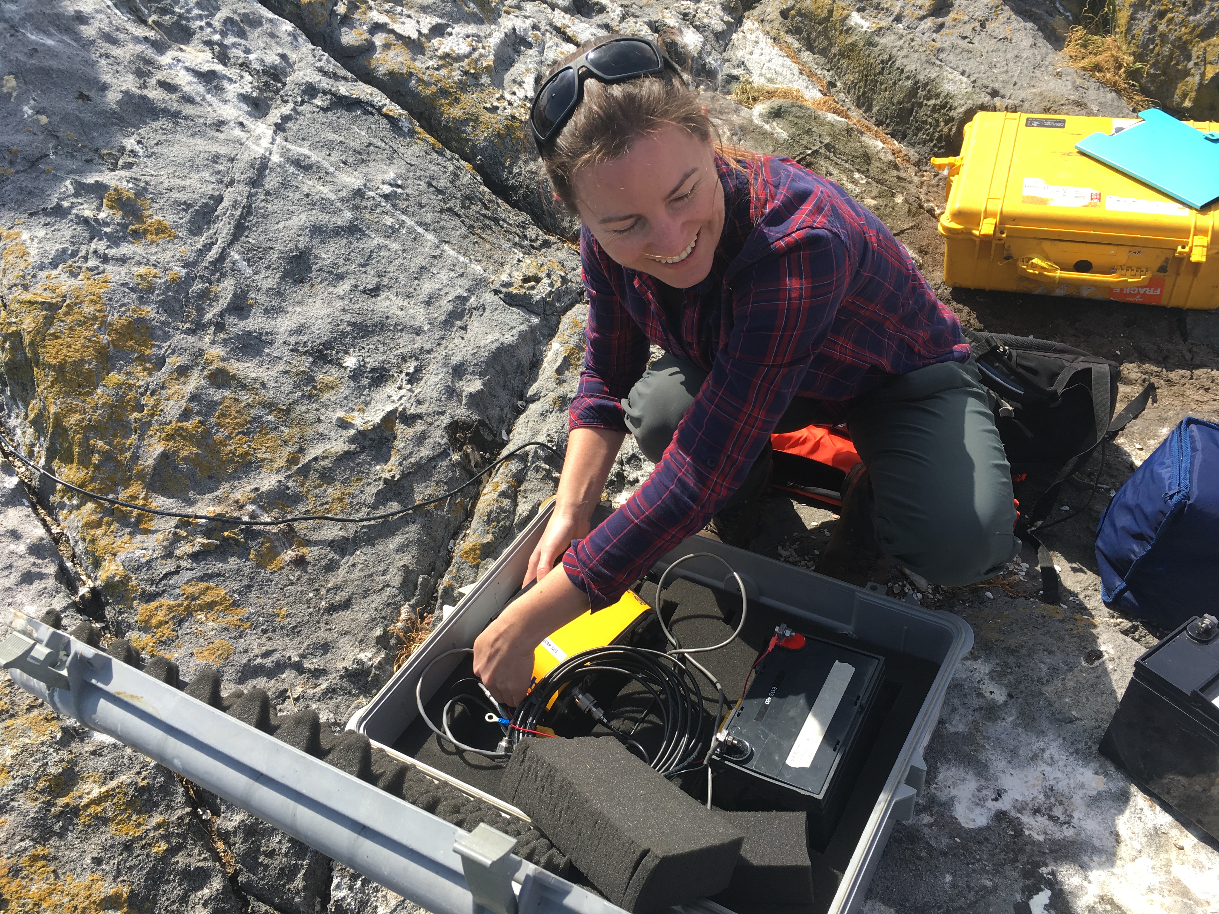
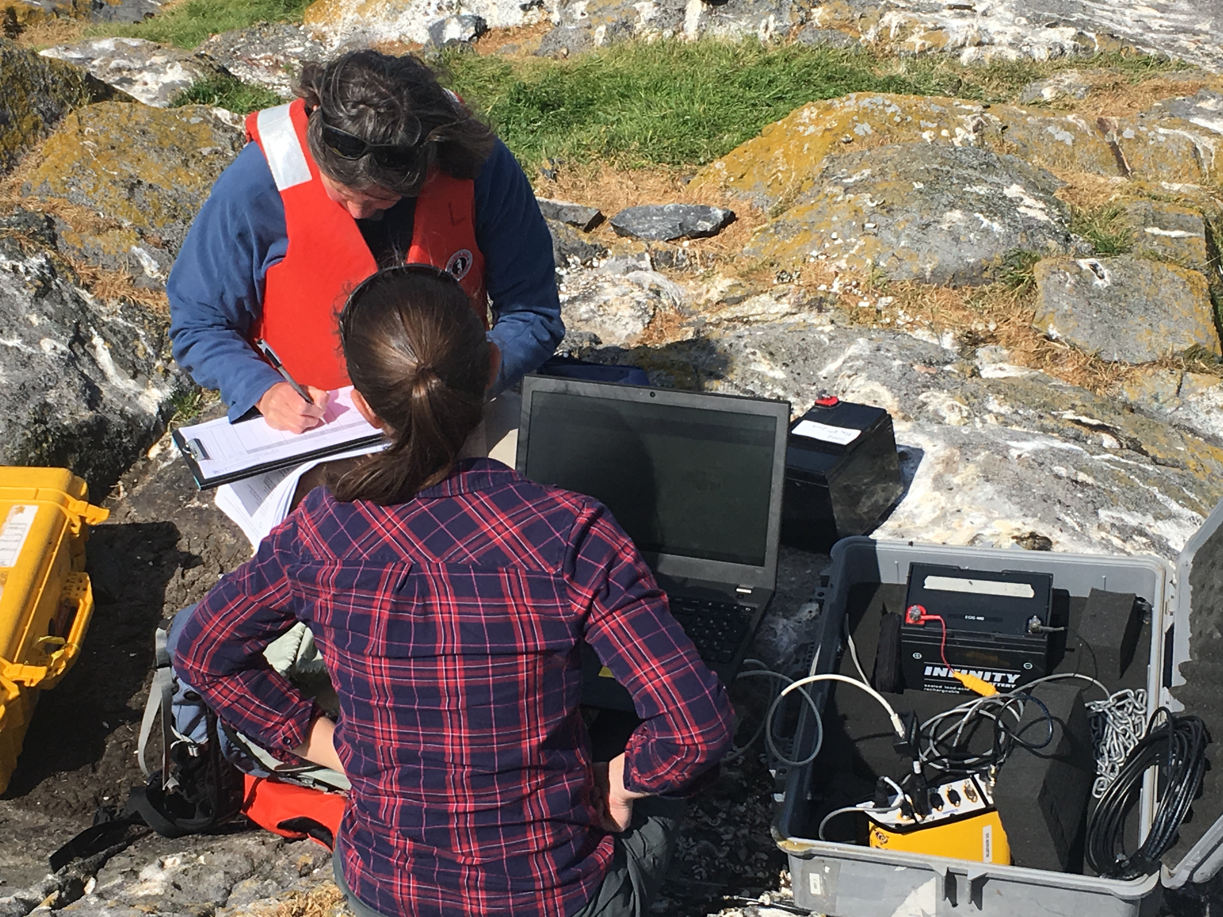
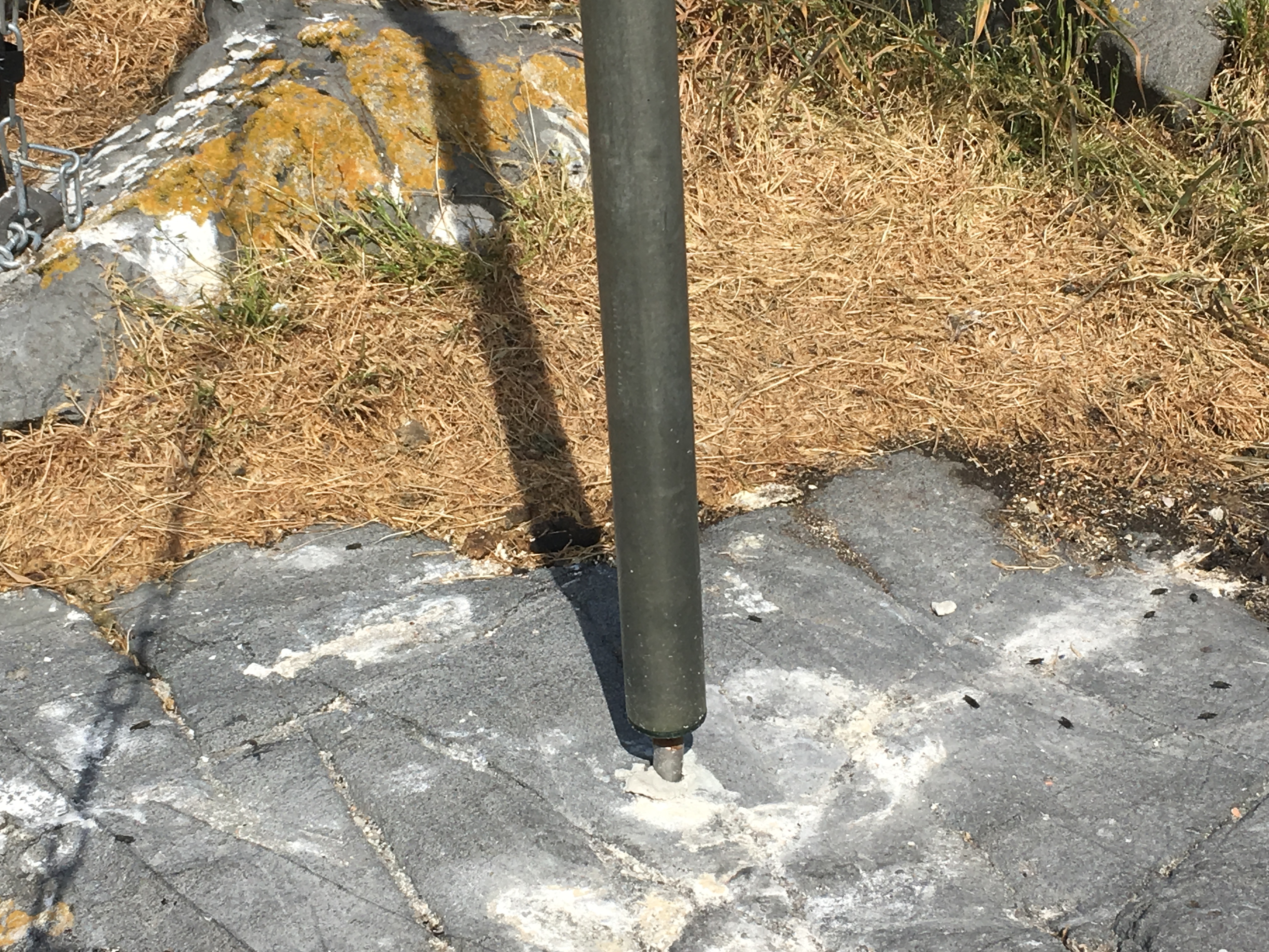
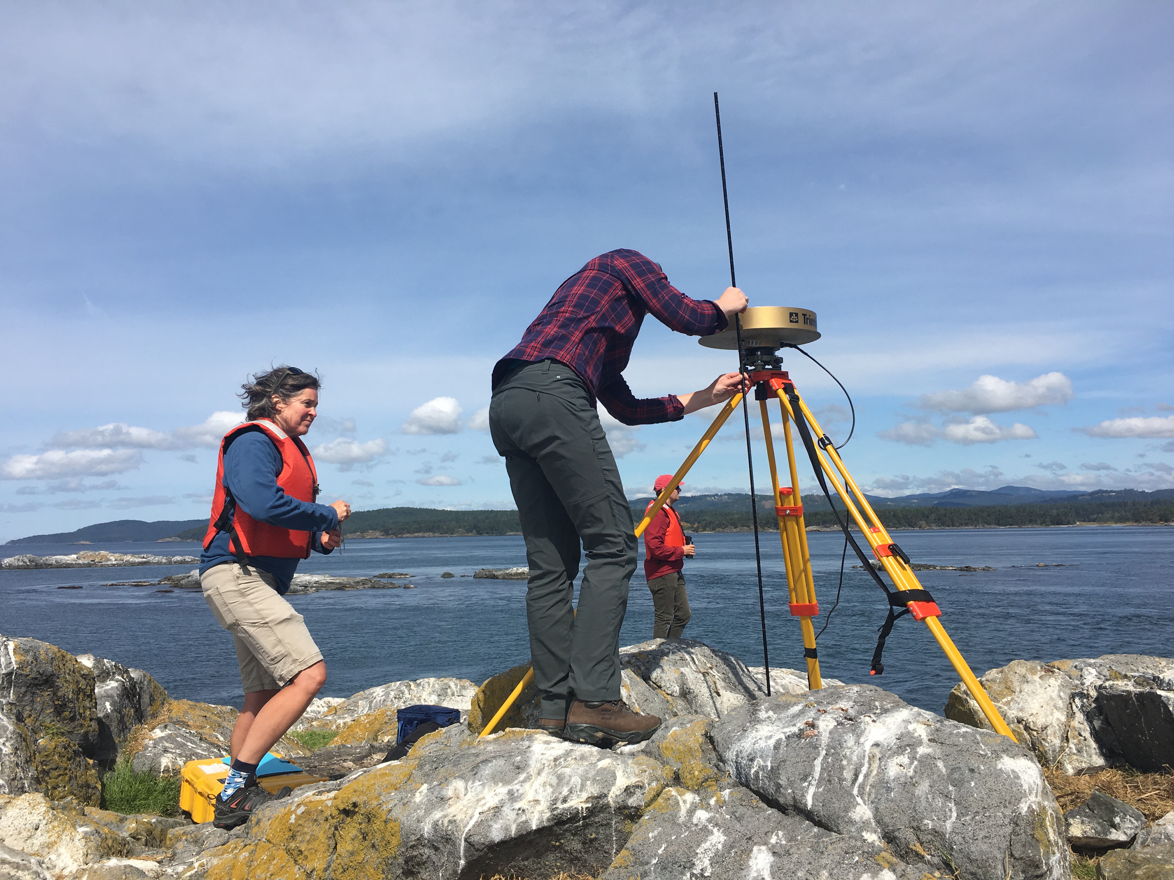
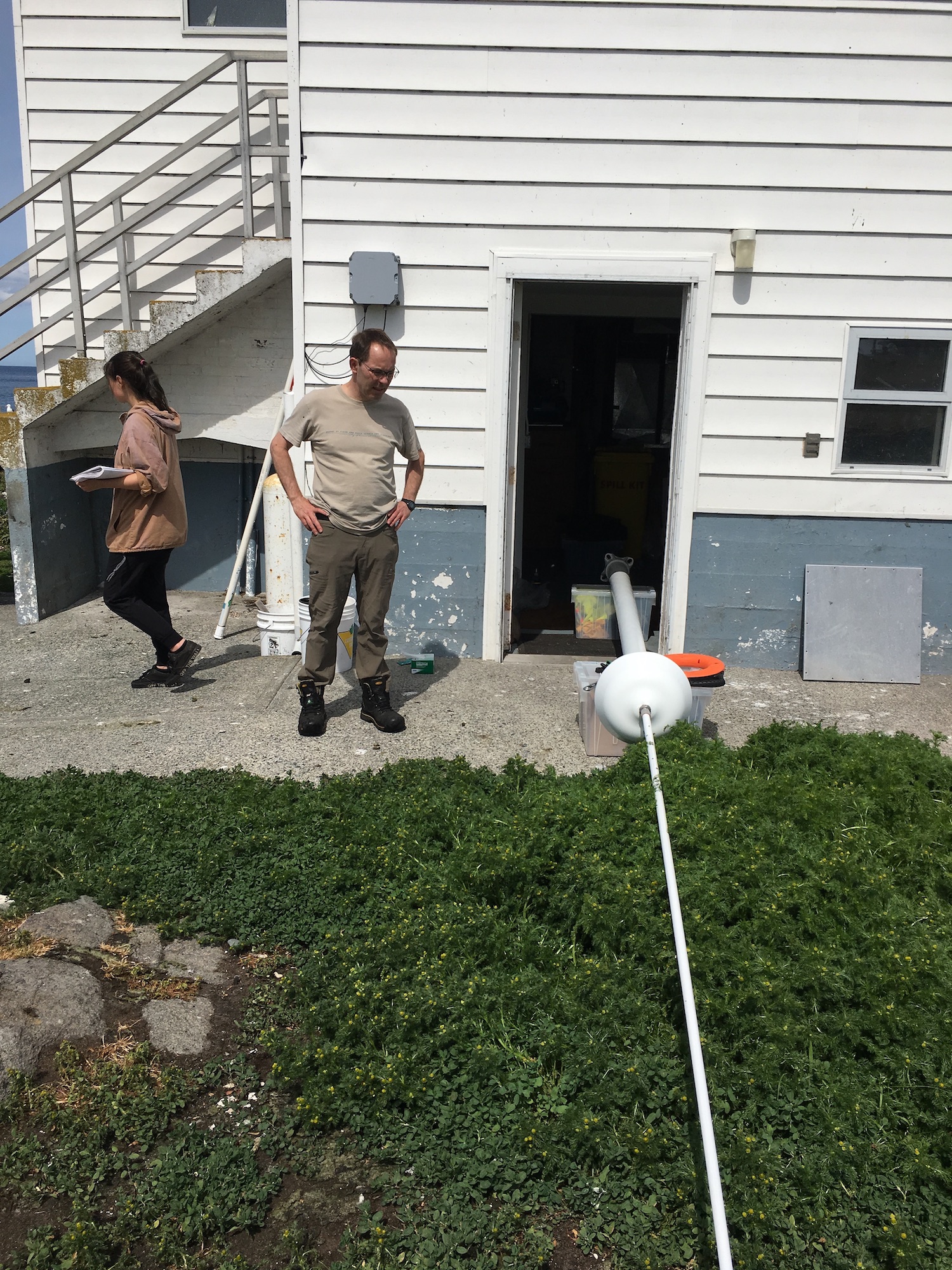
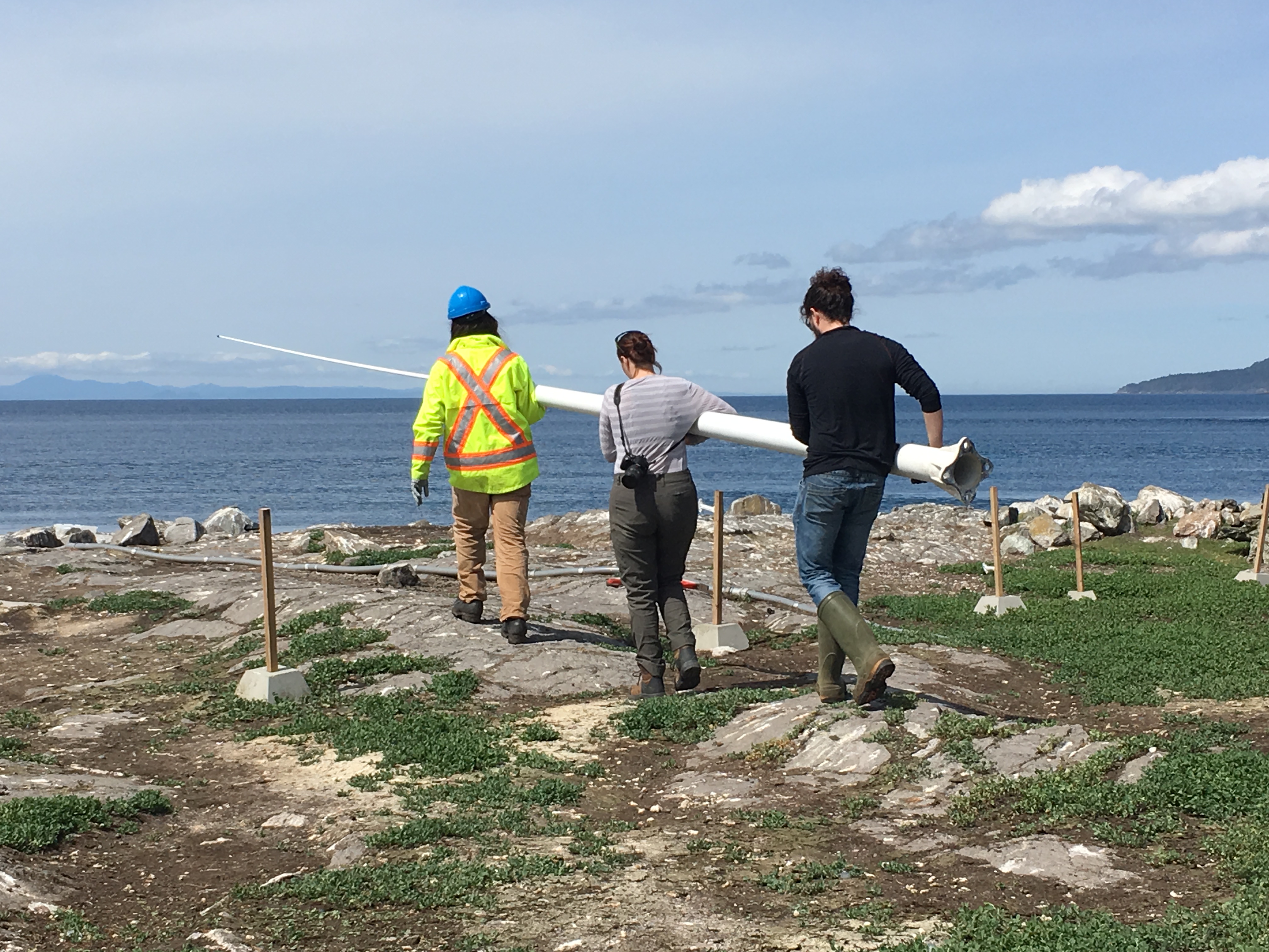
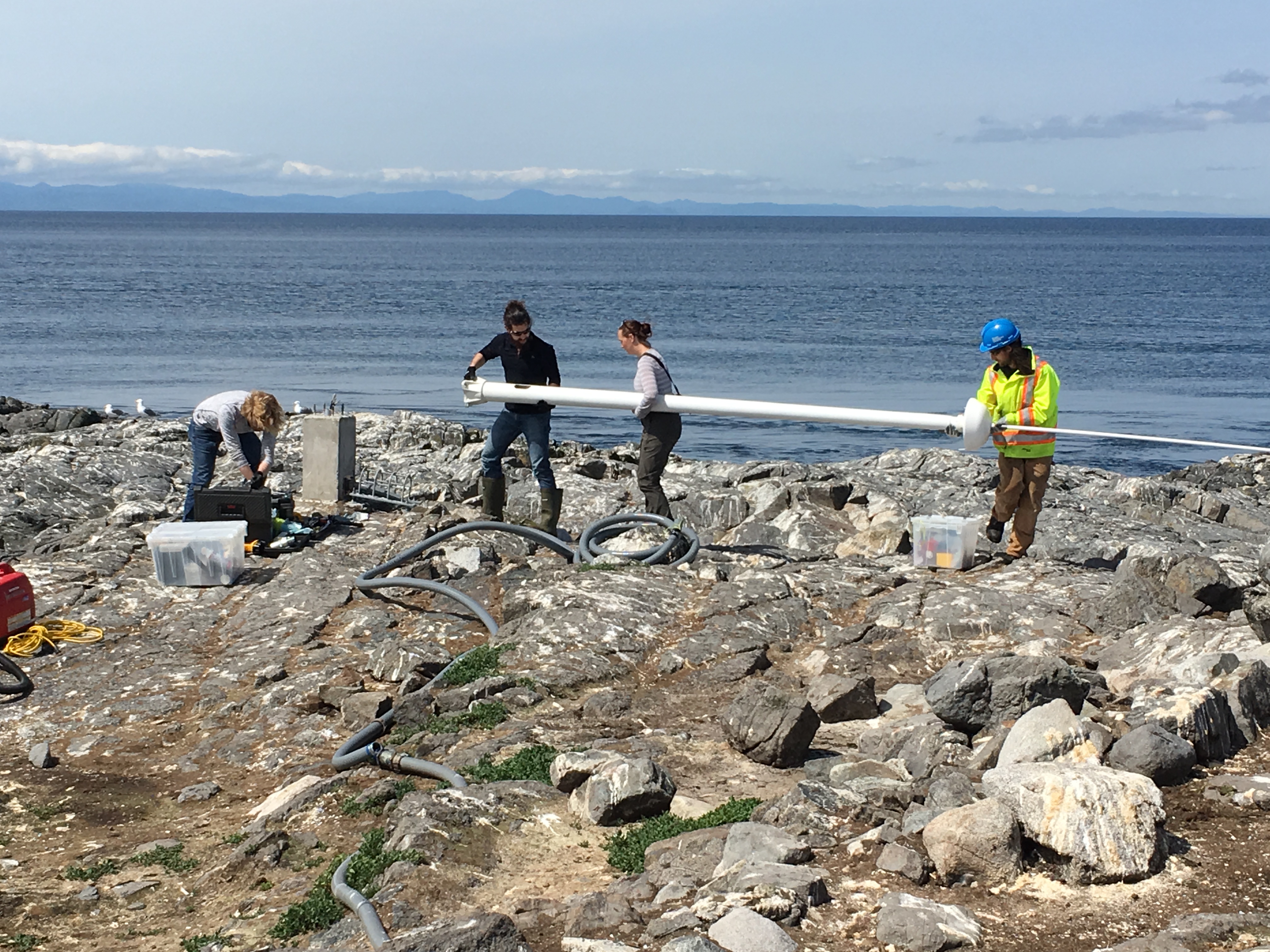
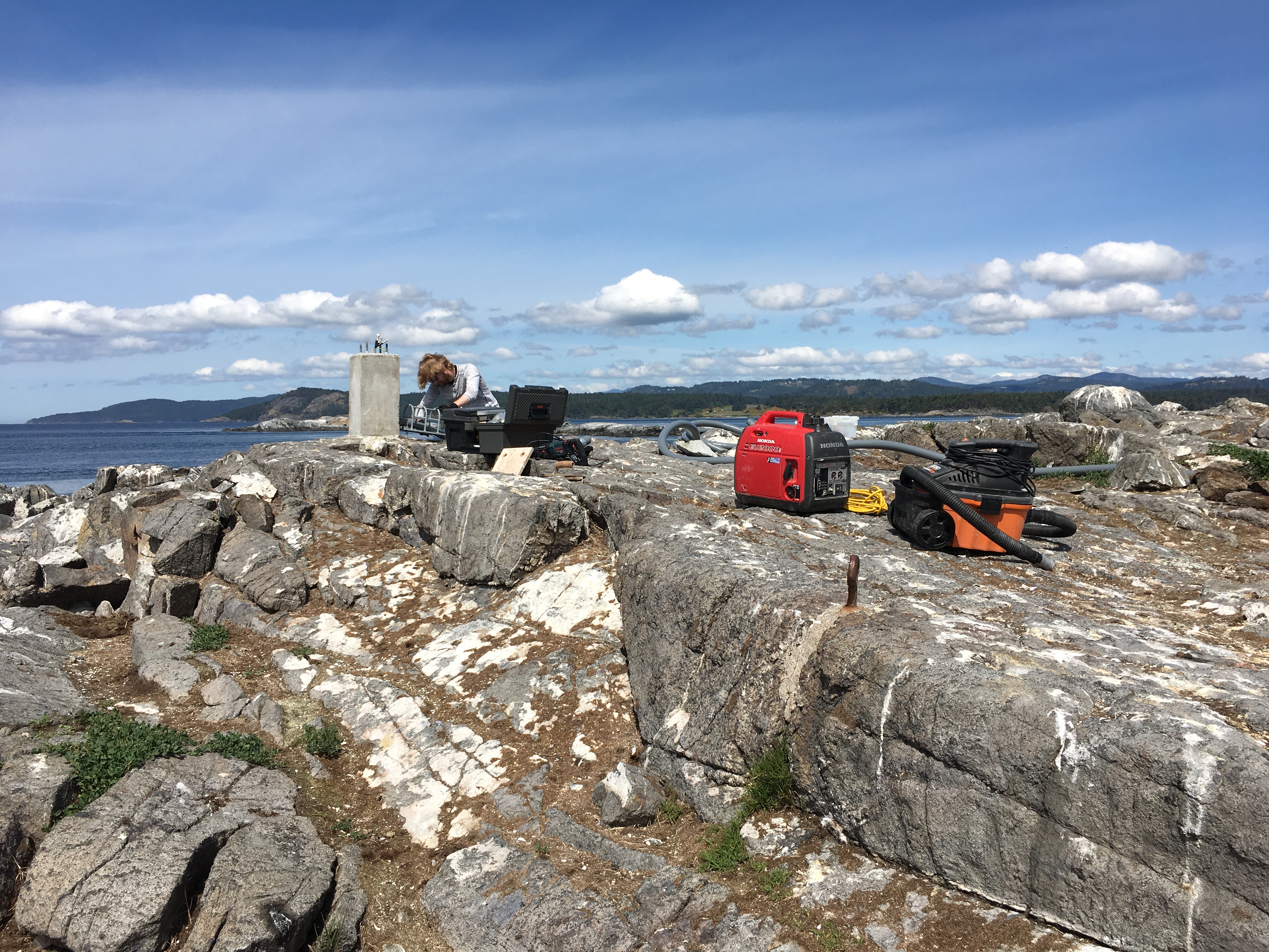
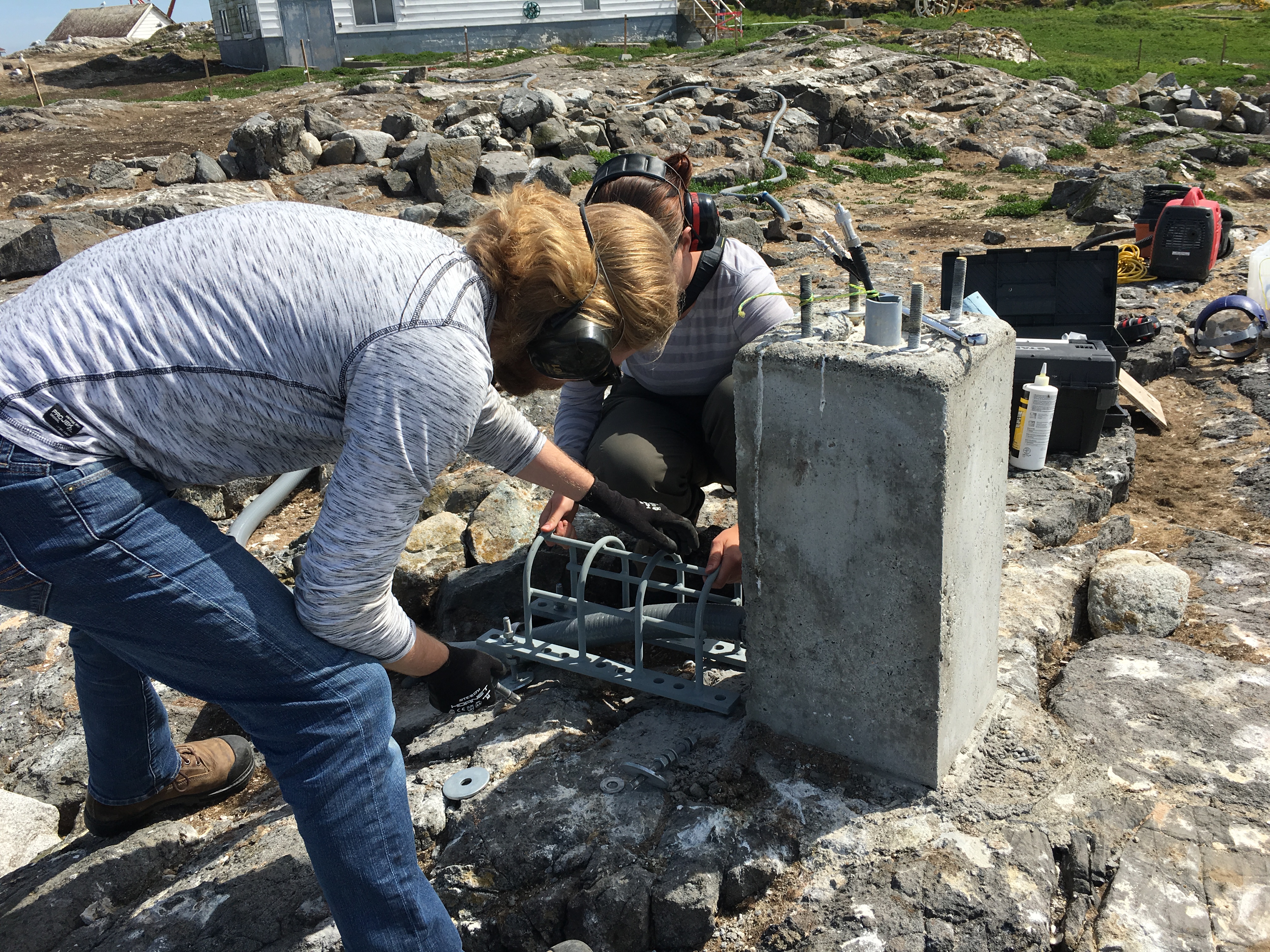
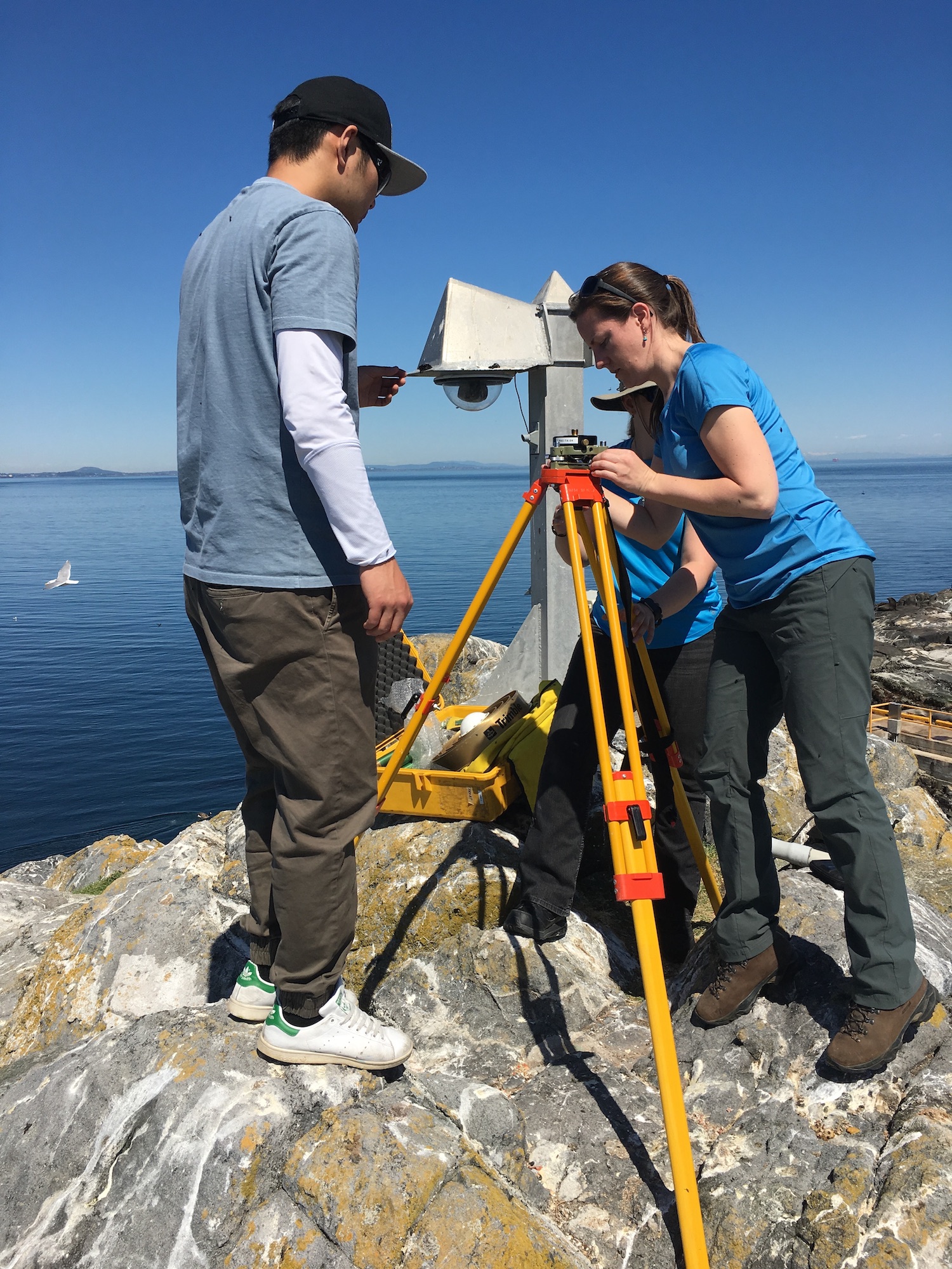
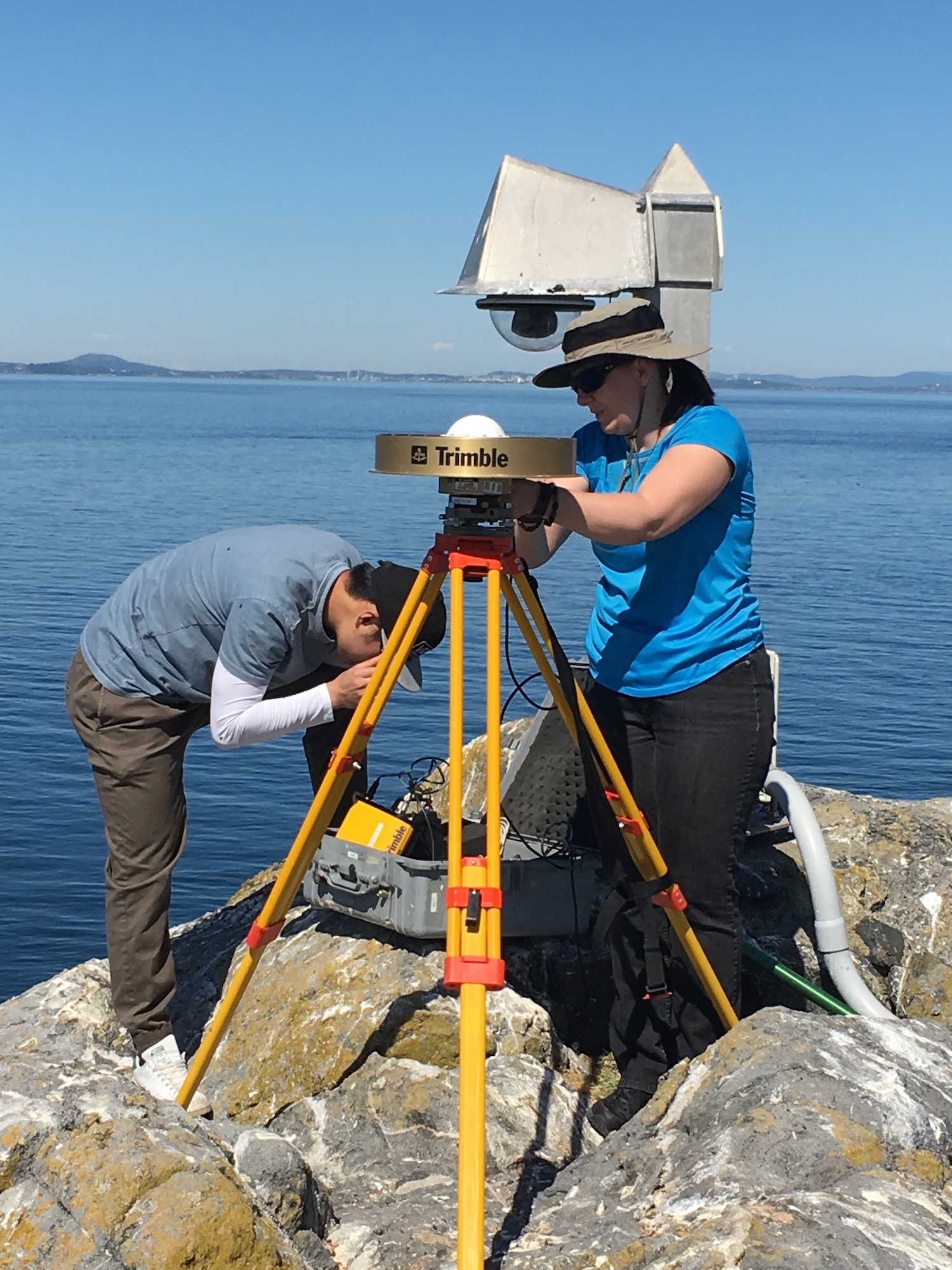
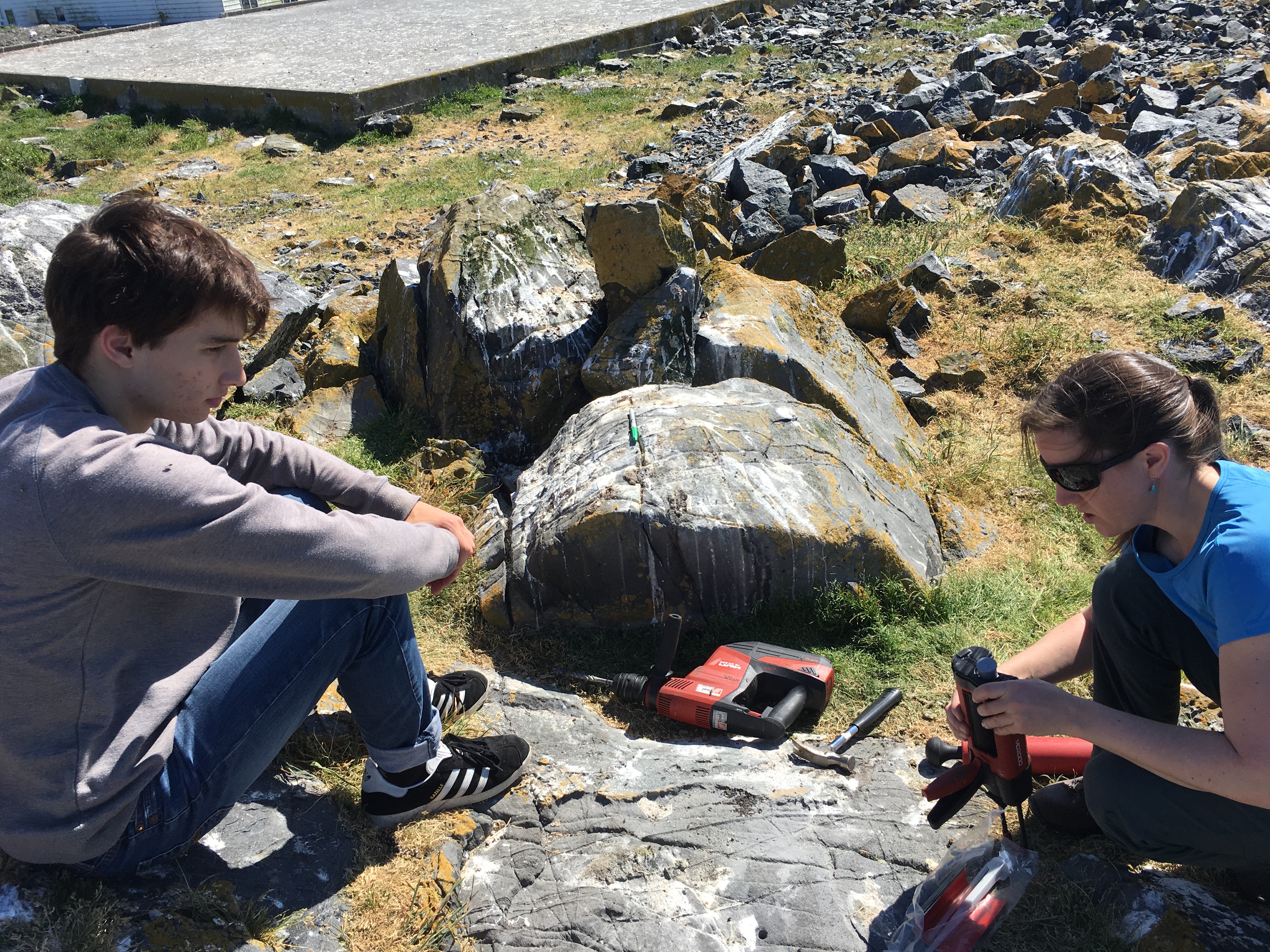
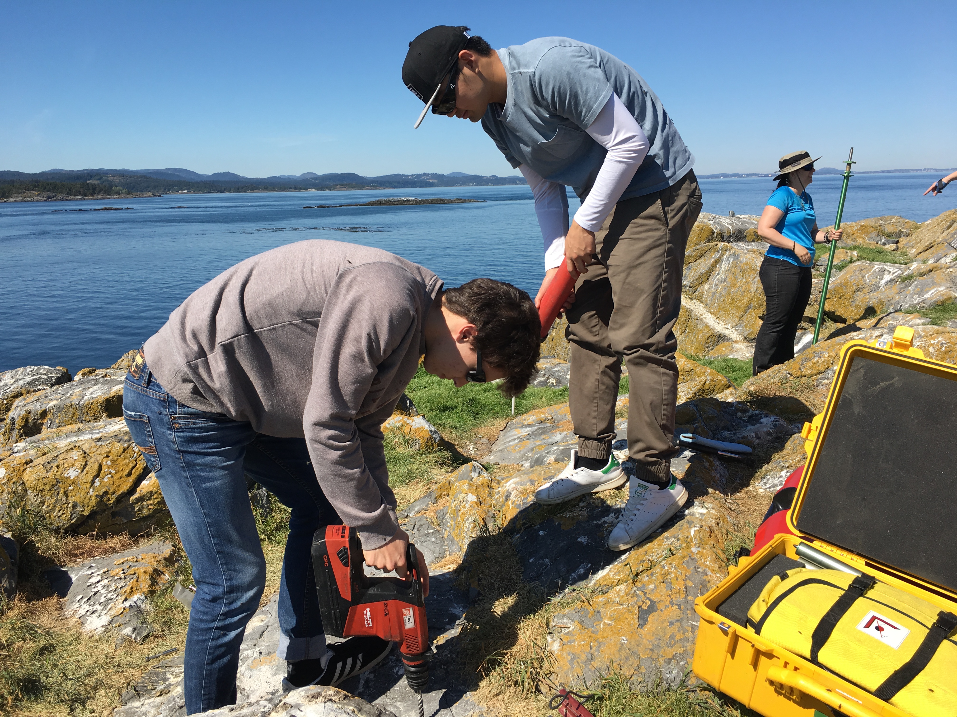
Over the last few days there has been traffic: visitors including people working on costal radar, the weather station, seismic monitoring, and guests of Pearson College. The costal radar antenna had to be shipped back to its manufacturer to be recalibrate, and is now working as intended.

Some whale watching boats have been getting close, well inside of 100m of the animals. They usually make more distance if they can see us. Lots of traffic today specifically, well over twenty visits by whale watching.

Maintenance:

The desalinator is still broken so we are conserving water, and our drinking water is being brought from Pearson College. Earlier this week they brought a fire hose to pump clean water into the tank when we get low. A new four wheeled cart was brought to facilitate safer diesel fuel transfers between the shed by the jetty and the generator room.

Ecological:

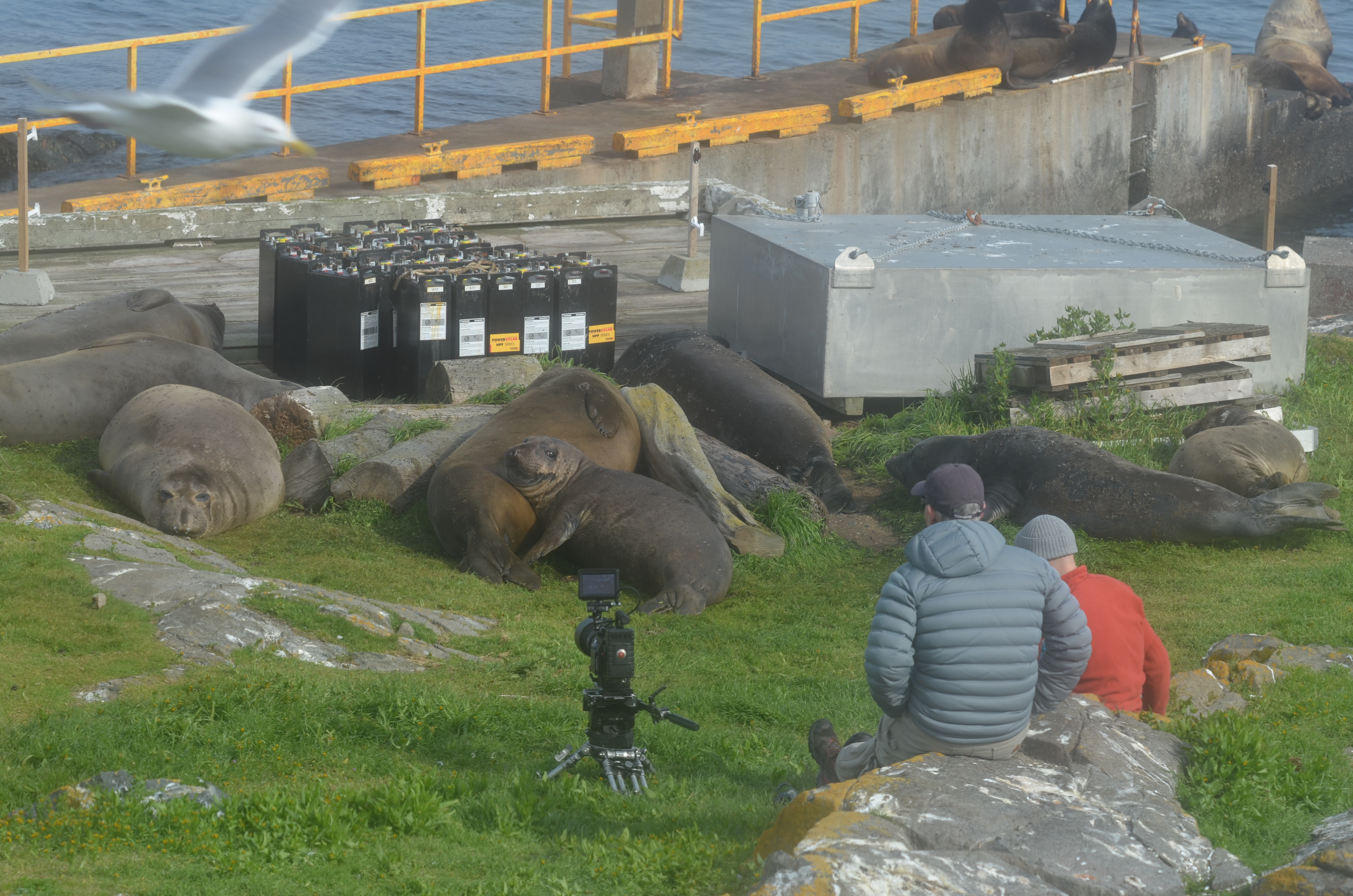
One elephant seal has been on land near the boat ramp for days now. It seems to be undergoing catastrophic moulting, a process in which they shed all of their fur as well as the underlaying skin. They appear to be sick, but we’ve been assured it’s normal.

Yesterday’s Census:

9 elephant seals: youngest one is still here on our lawn, two moulting
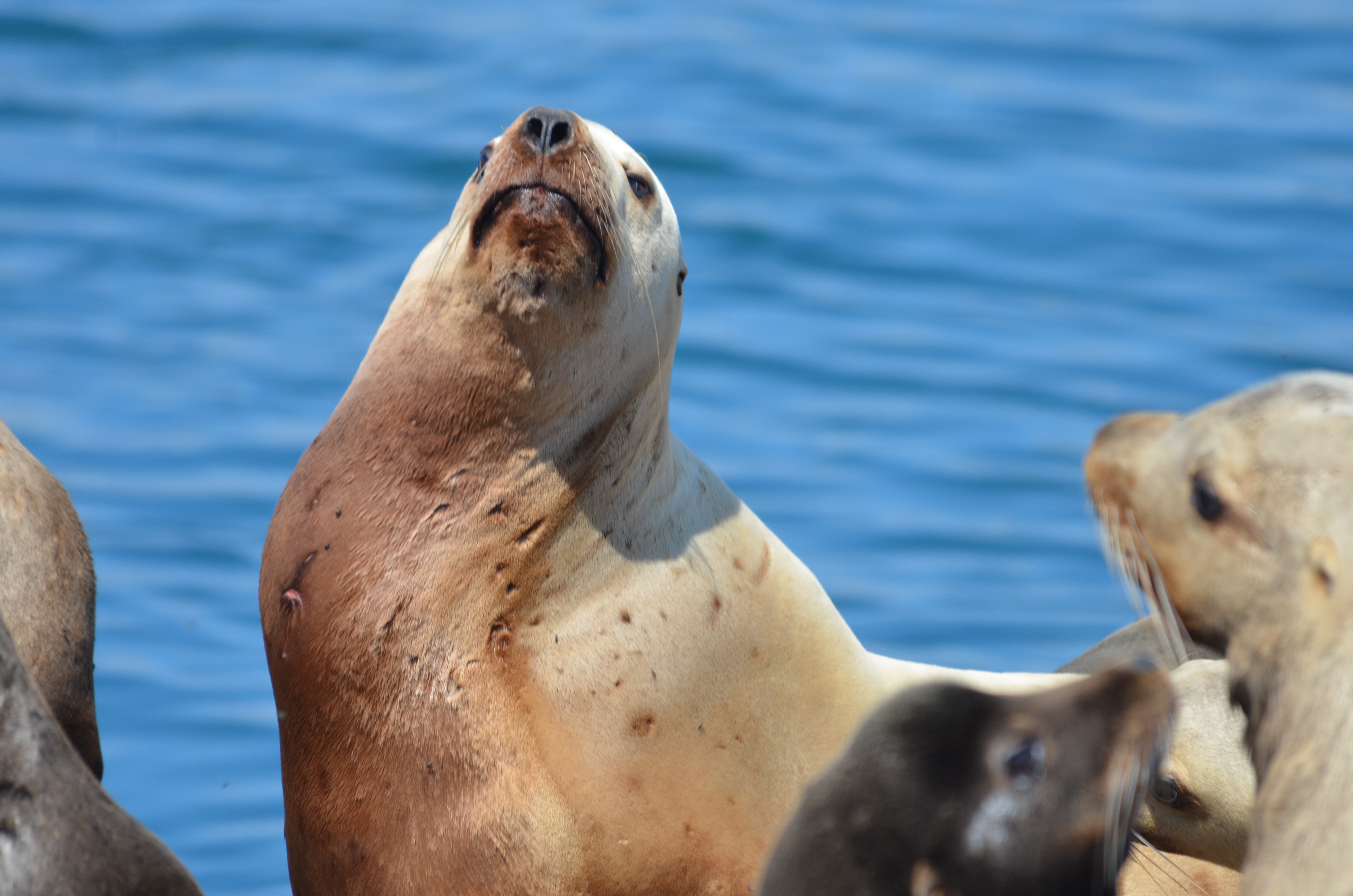
About 30 sea lions

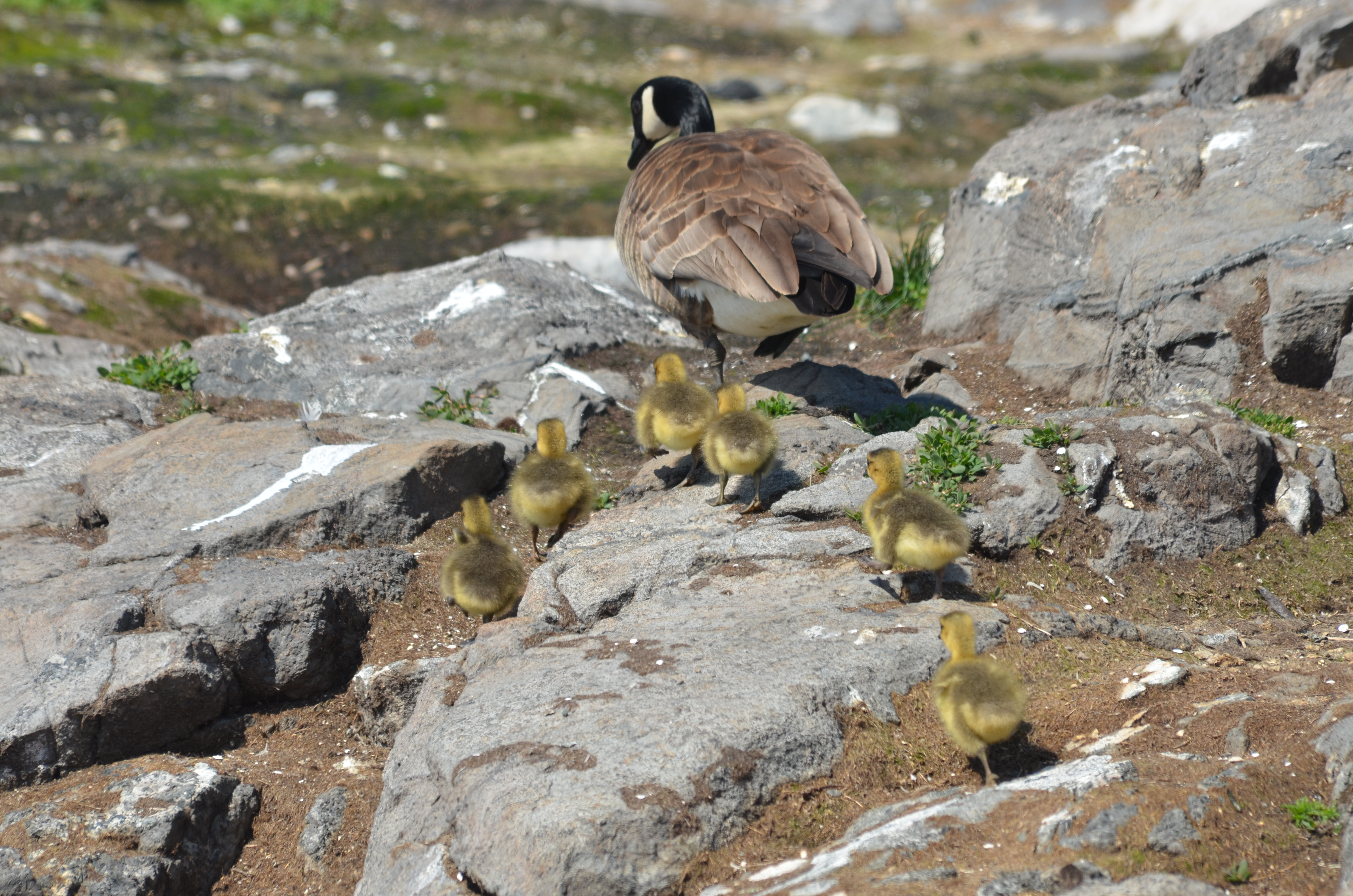
2 families of geese with 6 goslings per

5 additional pairs of geese (one laid eggs today that we had to collect and addle)

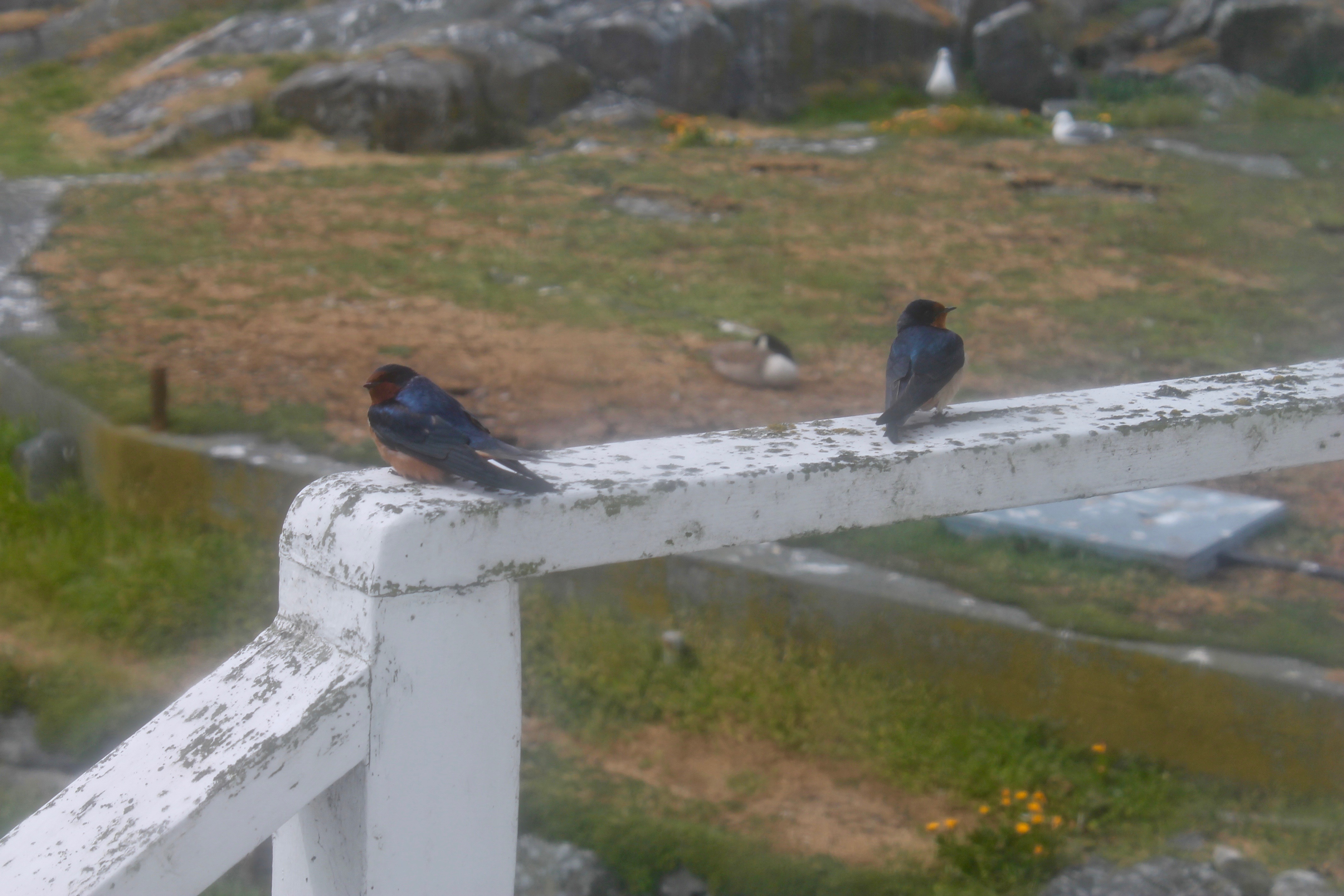
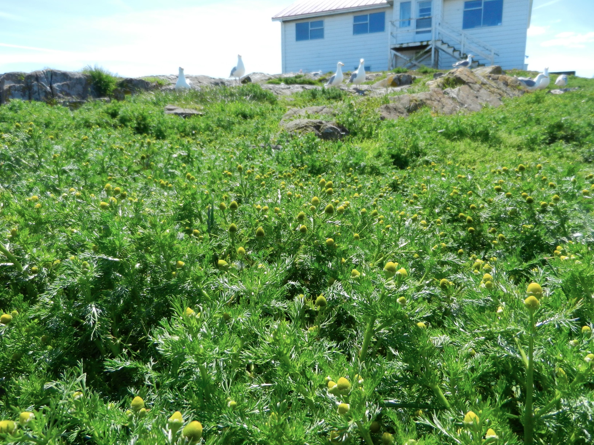
About 200 seagulls- they are starting to build nests and are becoming more aggressive

About 20 pigeon guillemots

A handful of oyster catchers

A hub of research activity at Race Rocks today.

A lot of activity was going on today in the reserve.  Guy drove out myself and Laura Verhegge and several others to attend to equipment  at Race Rocks. Already there was a crew with Kevin of Oceans Network Canada who were reinstalling the CODAR sea surface monitor. This was last commented on in a log on  September 28 Also accompanying us was Ed Weibe, of the UVic School of Earth and Ocean Sciences — EOS 110 Labs Vancouver Island School-Based Weather Station Network http://victoriaweather.ca , who monitors the  Davis weather station for our weather page on this site and the UVic Schools  Weather program.  He was there to change the humidity sensor and check on the equipment.  Lucinda Leonard was along to take down the GPS earthquake monitoring equipment after its successful deployment for the past week.  (See the May 10 log)


The other activity going on was the installation of a CODAR  monitor by the crew with Kevin from Oceans Network Canada.

Barn Swallows

Weather

  • Visibility: 15 Miles
  • Wind: 5-15 SW
  • Sky: Overcast
  • Water: Flat

Boats/Visitors

  • had a little tour from the college come by this morning
  • the day before there were a couple of people from UVIC setting up equipment to monitor earthquake activity

Maintenance

  • The blue water tank at the side of the house is being cleaned out and filled at the college and will be transported here to fill up our freshwater tank until we get a new desalinator put in place

Ecological

  • Maybe 15 stellers and 30 Californias around, the numbers have gone down
  • two adorable little barn swallows have been hanging around the house
  • 11 elephants, the numbers will be dropping soon as everyone has finished molting and will need to go hunting soon
  • a couple of hundred pigeon guillemots around today
  • about 8 oystercatchers who should be setting up their nests soon
  • still around 16 geese and at least 14 goslings, three nests hatched
  • a few hundred seagulls buildings their nests
  • the cormorants and harbour seals are sticking to the outer rocks
  • two bald eagles out on north rock today

Other

  • was stuck in a fog bank yesterday and it has been very cloudy today so I will run the generator a bit
  • I leave on Tuesday and our new eco-guardians Mara and Kai will be taking over for the summer

Barn Swallows on the deck railing

GPS Survey for Earthquake Hazard Assessment on Southern Vancouver Island

I accompanied Lucinda Leonard and two students from UVIc  Megan Caston and Yijie Zhu – they are both working towards Masters degrees in Geophysics, working on earthquakes and faults to Race Rocks along with 6 students from Pearson College for the installation of two GPS stations. Many years ago , perhaps as early as 1991, this plug had been installed a meter in front of the Camera 5 location , and it had not been rechecked since.  Laas was able to get this picture of it to verify that it was still there .

gps marker

The following is the research proposal by Lucinda Leonard, Assistant Professor (Geophysics) School of Earth and Ocean Sciences, University of Victoria PO Box 1700 STN CSC, Victoria, British Columbia, Canada V8W 2Y2

GPS Survey for Earthquake Hazard Assessment on Southern Vancouver Island

Participants: Lucinda Leonard, Assistant Professor, School of Earth and Ocean Sciences, University of Victoria
Julie Elliott, Assistant Professor, Purdue University
Yan Jiang, Research Scientist, Natural Resources Canada, and Adjunct Professor, University of Victoria 2-3 students will also take part in the fieldwork.

Objectives:

(1) To quantify seismic hazard of crustal faults on southern Vancouver Island. (2) To improve understanding of crustal deformation in subduction zone forearcs.

Scope of fieldwork:

The research project will establish and survey a relatively dense network of high-precision Global Positioning System (GPS) sites across fault zones on southeastern Vancouver Island that may host significant earthquakes. The 2018 survey will involve temporary instrument deployments at a number of pre-existing survey markers as well as new markers emplaced in bedrock. We anticipate future deployments every 1-2 years over the next 5-10 years.

Rationale:

Southeastern Vancouver Island is a region of high seismic hazard due to its location above the Cascadia subduction zone – the region is susceptible to damage from: earthquakes on the Cascadia megathrust fault offshore (magnitude ~9; similar to the devastating 2011 tsunamigenic Japan earthquake), deep earthquakes beneath the Salish Sea and Puget Sound (up to magnitude ~7; e.g., 2001 earthquake in Nisqually, Washington, that caused minor damage in Victoria), and earthquakes on poorly-understood shallow crustal faults (up to magnitude ~7.5; similar to the 2011 damaging earthquake in Christchurch, New Zealand). Crustal earthquakes, although smaller in magnitude than megathrust events, may produce strong shaking in urban areas due to their shallow source and possible close proximity. Modelling of a scenario crustal earthquake beneath the City of Victoria estimates extensive damage to 64% of building stock, 75% of the water pipeline system, and 90% of the sewer pipeline system in the city (VC Structural Dynamics Ltd., 2016).

Crustal faults remain poorly understood in the region, although recent progress includes the identification of surface-rupturing Holocene earthquakes on the Leech River fault (Morell et al., 2017) and its likely offshore equivalent, the Devil’s Mountain fault (Barrie and Greene, 2018). Fault mapping and trenching are important to determine the maximum magnitude of past and future earthquakes on individual fault strands, but these methods cannot provide accurate estimates of slip rates on fault zones, as required for input into seismic hazard assessments. GPS surveying can be used to track the relative motion of survey markers over time; a sufficiently dense GPS network can be further used to identify the location of active faults and to quantify their slip rates (e.g., Marechal et al., 2015). The existing network of continuous GPS stations on southeastern Vancouver Island is inadequate for this purpose, e.g., there are only three stations within 20 km of the active Leech River fault zone. Campaign-style deployments, repeated every 1-2 years over a time-span of 5-10 years, will provide the greater density of survey locations needed to assess strain build-up on fault zones. Several sites were established in 1991 and re-surveyed in 1996 (Henton, 2000; Mazzotti et al. 2003) – we propose to re-occupy these sites, where possible, and to establish a denser network of campaign GPS sites for temporary deployments (2-4 days at each site).

1

Methodology
Site locations:
Site requirements: accurate GPS positioning (to within 1 mm) requires the GPS antenna to have a good view of the sky in order to maximize the satellite signals received. It also requires a marker to be emplaced in a stable substrate, ideally bedrock. Thus bedrock hilltops provide optimum site locations. In this region, many optimal locations are located within parks.

Proposed deployments include 5 pre-existing sites, in addition to ~16 new sites, at an average of ~3 km spacing perpendicular to the Leech River fault zone and adjacent faults offshore (Figure 1; Table 1). The greater number of sites to the north of the fault zone reflects greater accessibility over a larger land area in this region.

Figure 1. Proposed locations of campaign GPS sites. Also shown are the locations of continuous GPS sites, pre-existing campaign GPS sites, and mapped faults.

Table 1. Locations of existing and proposed GPS campaign sites available by contacting the research proponenet

For a continuous period of 2-4 days at each site (maximum of once per year), a 1.7-m high mast with GPS antenna will be set up over an existing or new marker in the bedrock at each site, attached by cable to a receiver in a locked box on the ground. During deployment, the mast will be secured to the anchors using chains (Fig. 2a). At sites not conducive to the mast set-up, a tripod (Fig. 2b) or spike mount (Fig. 2c) will be used instead. New sites will be established by using epoxy to fix stainless steel marker pins into the bedrock. These will penetrate 6 inches into the rock, with a diameter of 0.5 inches, to lie flush with the ground surface. For mast sites, three stainless steel anchor bolts will also be bolted into the rock to a depth of ~2 inches, each attached to a 2-inch diameter stainless steel ring flush to the ground, at a distance of ~0.5 m from the central marker.

Approximate schedule for 2018 fieldwork:

The fieldwork will be carried out in August 2018, with each site being surveyed for 2-4 days. The proposed schedule is shown in Table 2 below, although actual dates may differ.

Table 2. Approximate schedule for fieldwork in August 2018 Approx. Dates Tasks

Aug 1 Aug 2 Aug 3 Aug 4 Aug 5 Aug 6 Aug 7 Aug 10

Aug 11 Aug 12 Aug 13 Aug 14 Aug 15 Aug 16 Aug 17 Aug 18

Team 1: Deploy PBHY, HIGH, SHER
Team 1: Deploy MLHT, TOLM, check others, babysit TOLM
Team 1: Stay at TOLM, check others
Team 1: Babysit TOLM, Demob PBHY, HIGH, TOLM (after 5 pm) Team 1: Demob MLHT, Deploy HAVN
Team 1: Check HAVN
Team 1: Demob HAVN after 5 pm
Team 1: Paperwork; deploy BEAR, STEW
Team 2: Deploy BBEC, DEVO, MILL
Team 1: Deploy OAKH, DOUG, check BEAR, STEW, babysit DOUG Team 2: Deploy PEDD, check BBEC,DEVO, MILL
Team 1: Babysit DOUG, check STEW, OAKH, BEAR
Team 2: Check DEVO, PEDD, BBEC, MILL
Team 1: Demob STEW, BEAR, Babysit DOUG then demob after 5 pm Team 2: Demob BBEC, DEVO, MILL
Team 1: Demob OAKH, Deploy THET, DISC (by boat)
Team 2: Demob PEDD, deploy LONE, CAMO
Team 1: Deploy WELS, MOSS, SUMM
Team 2: Deploy OBSV, check LONE, CAMO
Team 1: Check WELS, THET, MOSS, SUMM
Team 2: Check LONE, CAMO, OBSV
Team 1: Demob DISC (boat), THET
Team 2: Demob LONE, CAMO
Team 1/2: Demobilize WELS, MOSS, SUMM, OBSV

4

Plans for on-site security, site control and general safety?

The deployment of passive GPS equipment poses little risk to the public. Flagging will be placed on the equipment to mitigate any potential tripping hazards. Signs will be posted at all sites, with the following text (correct dates to be inserted): “Surveying for earthquake hazard study in progress from August 3-6 – please do not disturb. For more information, please contact Lucinda Leonard, School of Earth and Ocean Sciences, University of Victoria: 778-676-9621 or lleonard@uvic.ca”. At locations that are popular with the public, sites will be manned during daylight hours. Sites that see less pedestrian traffic will be visited 1-2 times per day during the deployment.

Data processing and analysis:

Geodetic data will be processed using standard routines to determine precise daily average locations for each site. Positional time series will be analyzed to provide site motions (direction and rate of motion) in a North America reference frame. Analysis of relative motion between sites will enable determination of strain across fault zones and improve seismic hazard assessment for southern Vancouver Island.

References:

Barrie, V., and H. G. Greene (2018), The Devils Mountain Fault zone: an active Cascadia upper plate zone of deformation, Pacific Northwest of North America, Sedimentary Geology, v. 364, p. 228-241, doi: 10.1016/j.sedgeo.2017.12.018.

Henton, J.A. (2000), GPS studies of crustal deformation in the northern Cascadia subduction zone. Ph.D. thesis, Univ. Victoria, Victoria B.C., Canada, 169p.

Marechal, A., S. Mazzotti, J.L. Elliott, J.T. Freymueller, and M. Schmidt (2015), Indentor-corner tectonics in the Yakutat-St. Elias collision constrained by GPS, Journal of Geophysical Research, v. 120, p. 3897-3908, doi: 10.1002/2014JB011842.

Mazzotti, S., H. Dragert, J. Henton, M. Schmidt, R. Hyndman, T. James, Y. Lu, and M. Craymer (2003), Current tectonics of northern Cascadia from a decade of GPS measurements. J. Geophys. Res. 108(B12):2554.

Morell, K. D., C. Regalla, L. J. Leonard, C. Amos, and V. Levson (2017), Quaternary rupture of a crustal fault beneath Victoria, British Columbia, Canada, GSA Today, v. 27, no. 3.

VC Structural Dynamics Ltd. (2016), Citywide seismic vulnerability assessment of the City of Victoria, Report prepared for the corporation of the City of Victoria, Victoria, BC, Canada, 43p, available online at: http://www.victoria.ca/assets/Departments/Emergency~Preparedness/Documents/Citywide- Seismic-Vulnerabilities-Assessment.pdf

See the follow-up  when the instrument was removed on the May 15 log

Polygonum aviculare: prostrate knotweed – The Race Rocks Taxonomy

knotweed

Polygonum aviculare

I noticed a particularly thriving population of the invasive prostrate knotweed this spring . It is typically successful in heavily compacted areas and adjacent to the sidewalks. Also it is probably not  favoured by Canada geese, as with most of the successful invasive species on the island. See also: https://racerocks.ca/polygonum-aviculare-prostrate-knotweed-the-race-rocks-taxonomy/

Kingdom: Plantae
Clade: Angiosperms
Clade: Eudicots
Order: Caryophyllales
Family: Polygonaceae
Genus: Polygonum
Species:
P. aviculare
Binomial name
Polygonum aviculare
taxonomyiconReturn to the Race Rocks Taxonomy
and Image File
pearsonlogo2_f2The Race Rocks taxonomy is a collaborative venture originally started with the Biology and Environmental Systems students of Lester Pearson College UWC. It now also has contributions added by Faculty, Staff, Volunteers and Observers on the remote control webcams.


Matricaria discoidea : pineapple weed, The Race Rocks taxonomy

The observation below was made in 2013/06/05 …

Several large areas where the grass was matted and smothered by the sealions hauling out last fall, now have a prolific growth of this newly arrived plant, Matricaria discoidea, or pineappleweed. These are the tallest growing samples of that plant I have seen. Another plant in the same areas is the fiddleneck, Amsinckia menziesii

This year the same situation appears in the areas trampled by the sealions last fall. This post  shows how comfortable it is for the elephant seals.

Kingdom: Plantae
Clade: Tracheophytes
Clade: Angiosperms
Clade: Eudicots
Clade: Asterids
Order: Asterales
Family: Asteraceae
Genus: Matricaria
Species: M. discoidea

taxonomyiconReturn to the Race Rocks Taxonomy
and Image File
pearsonlogo2_f2The Race Rocks taxonomy is a collaborative venture originally started with the Biology and Environmental Systems students of Lester Pearson College UWC. It now also has contributions added by Faculty, Staff, Volunteers and Observers on the remote control webcams.


Goslings

Weather

  • Visibility: 15 Miles
  • Wind: 0-15 NW
  • Sky: Clear
  • Water: Flat

Boats/Visitors

  • Summer has really set in and there will be all kinds of boats going by for the next few months

Maintenance

  • Just attempting to clean out our water tank on the side of the house so we can get some fresh water brought to race rocks, top up our fresh water tank

Ecological

  • Still not a lot of sea lions around
  • there is still 12 elephant seals, a couple of them are scattered around but most of them are basking in the sun on the platform
  • there is a total of 14 goslings, the last nest only had two of them hatch which was interesting because I hadn’t addled that nest
  • the seagulls are in the process of building their nests and the oyster catchers look like they might be nesting soon too

Beautiful weather

Weather

  • Visibility: 15 Miles
  • Wind: 0-15 NW
  • Sky: Clear
  • Water: Flat

Boats/Visitors

  • A lot of tour boats the past few days

Maintenance

  • With the amount of seagulls lately the solar panels need to get scrubbed more often

Ecological

  • Not a lot of sea lions lately, but still around 12 elephant seals, since the pup left
  • I think all of the goslings that escaped addling have hatched and I’m sure that is the last of goose nesting season
  • the seagulls are starting to build their nests but have not gotten really aggressive yet

More goslings

Weather

  • Visibility: 15 Miles
  • Wind: 5-15 NW
  • Sky: Clear
  • Water: Flat

Boats/Visitors

  • A lot of tour boats around today in this beautiful weather, although not much traffic on those last couple windy days we had

Maintenance

  • A couple new goose nests popped up so those have been taken care of although there are about 3 nests that were too far along to addle and two of nests have hatched, the third one will hatch any day now and we expect that to be the last of the nests that will hatch this season

Ecological

  • My baby Nemo left this morning, it was definitely past the date we had expected him to leave elephant seals don’t typically stick around past 3 months of age but he had been here for almost 4 months, elephant seal pups also typically leave together when they are born in the same rookery but these two left weeks apart.
  • Still 12 elephant seals around going through the molting process, a couple of them have completed molting
  • the pigeon guillemots are here today
  • I heard there might be two otters out in the north kelp patch now but have not confirmed
  • Also saw a humpback yesterday, first one I’ve seen in a while

Busy weekend

Was quite busy this weekend but things have calmed down a bit now

Weather

  • Visibility: 15 Miles
  • Wind: 5-15 SE
  • Sky: Clear
  • Water: Flat

Boats/Visitors

  • The couple who will be taking the summer shift came by today for a little orientation, ran them through some of the chores we do here and will get more training time when we switch mid May
  • beautiful out the last couple days since the wind calmed down, there has been plenty of boats around

Maintenance

  • The solar panels really need to be scrubbed, I will try get that done tomorrow morning before the sun comes up, they are very difficult to clean when the sun is beating down on them

Ecological

  • 14 elephant seals, the pup is still here
  • very few sea lions, around 100 of them, seems to be an even mix of stellar and californias
  • about 12 geese around and 7 goslings so far
  • a couple hundred pigeon guillemots around today
  • about 6 oystercatchers, they will probably start nesting soon
  • a little group of harlequins around along with about 200 gulls that are starting to build their nests as well
  • there is at least 50 harbour seals on the outer rocks  and that’s about it for a rough census