
NR-PR-00-120E
|
September 14, 2000
|
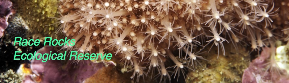
DHALIWAL AND SAWICKI ENDORSE RACE ROCKS AS
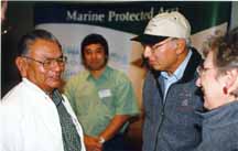
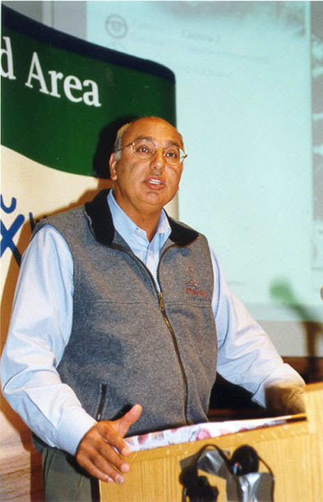
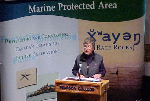
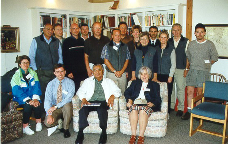
CANADA’S FIRST MARINE PROTECTED AREAVICTORIA, BC – Herb Dhaliwal, Minister of Fisheries and Oceans and Member of Parliament for Vancouver-South Burnaby and Joan Sawicki, Minister of Environment, Lands and Parks announced today their endorsement of the Race Rocks Advisory Board’s recommendation that Race Rocks become Canada’s first Marine Protected Area (MPA) under the Ocean’s Act.
Race Rocks was declared a candidate Marine Protected Area in September, 1998. An MPA is an area of the ocean that is designated for special protection under the Oceans Act. The goals of an MPA are to protect and conserve the natural beauty and richness of Canada’s marine areas, retain ecological diversity, provide scientific research and educational opportunities and preserve the many recreational and cultural features of the oceans.
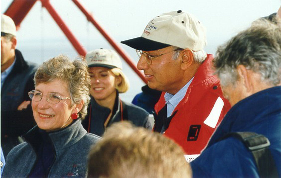
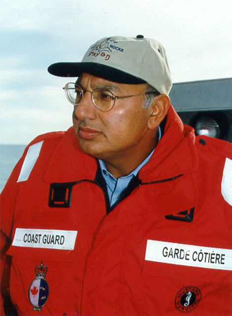
“I am very pleased and proud that Race Rocks has been put forward for designation as an MPA under the authority of the Oceans Act,” said Mr. Dhaliwal. “Today represents the culmination of an outstanding community-driven process which saw First Nations, BC Parks and Fisheries and Oceans Canada working collaboratively with the local community to achieve a common vision for this special place called XwaYeN.”
“Race Rocks is an international treasure,” said Minister Sawicki. “Today’s announcement will further promote and strengthen the stewardship of this extraordinary place. Together, the federal and provincial marine protected areas designations will help to protect the marine life that makes Race Rocks so unique.”
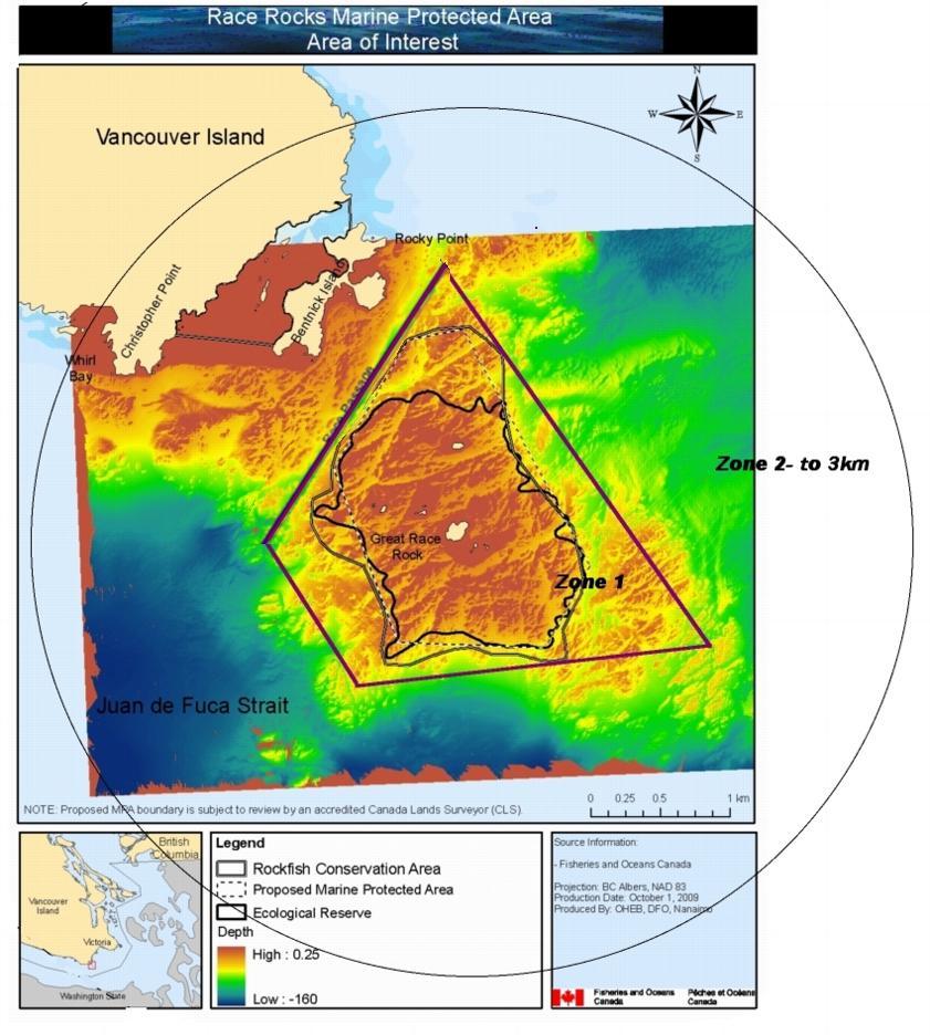
In 1980, the Province of British Columbia recognized the natural values of the Race Rocks area by designating it as an ecological reserve under their Ecological Reserves Act. This authority provides for protection and conservation over the terrestrial (nine islets) and the ocean bottom (to a depth of 20 fathoms). Designation of Race Rocks or XwaYeN (pronounced shwai’yen) as an MPA will further protect marine species and their habitat found within the boundaries of the existing ecological reserve. The marine ecosystem within this area is known for its exceptional diversity which is of importance to commercial and recreational fisheries in adjacent areas. It also protects critical habitat for threatened Northern abalone.
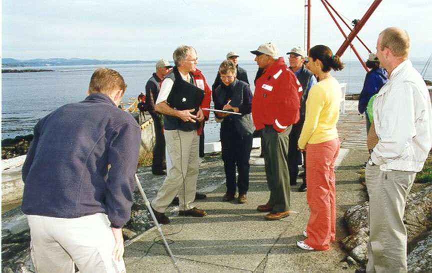
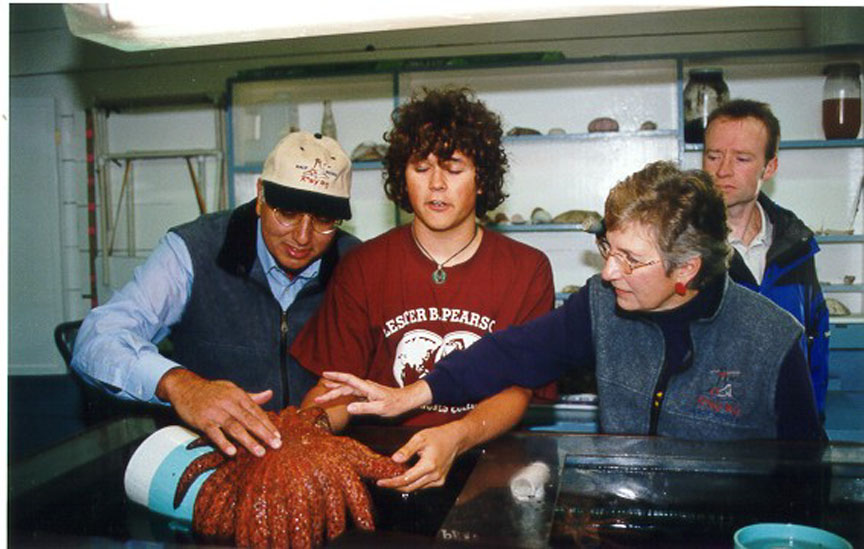
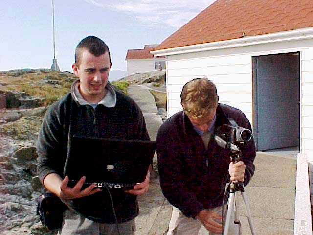
The MPA designation will also serve to protect the natural beauty of the area and provide scientific and educational opportunities for researchers and students. Lester B. Pearson College, the primary advocate for originally securing Race Rocks as an Ecological Reserve, operates the lightstation facility as a research and education centre in cooperation with BC Parks and Fisheries and Oceans/Canadian Coast Guard.
“The First Nations people have long recognized the importance of the ocean and particular significance of XwaYeN,” said Tom Sampson of the Coast Salish Sea Council. “The creation of this first Marine Protected Area under the Oceans Act is a positive step toward creating mutual understanding of our cultural values. It will have an impact on not only the living marine resources and their environment but on Canadians and, most importantly, their children.”
“Protection of the rich marine waters at XwaYeN (Race Rocks) is an important step towards establishing a system of marine protected areas in Canada,” said Sabine Jessen, Conservation Director for the BC Chapter of the Canadian Parks and Wilderness Society. “The community and government collaboration at XwaYeN is a model for future MPAs. The conservation community is committed to continuing our efforts to protect other ecologically important marine habitats on all of Canada’s coasts.”
“The whale watching and eco-tourism industry is proud to be an integral participant in the MPA process and is extremely pleased that this ecological marine environment will now receive additional protection,” said Dan Kukat, Vice President of the Whale Watch Operators Association (North West) and Sport Fish Advisory Board Member (Victoria Chapter). “The recreational and sport fishing community is pleased to provide continued support in the conservation of marine species.”
“The development of this comprehensive package for Race Rocks has been achieved through the complementary use of the powers of the Oceans Act and of the provincial Ecological Reserves Act, as well as the key role played by the community,” stated Ministers Dhaliwal and Sawicki. “This is an excellent demonstration of Canada’s new management approach towards oceans and their resources.”
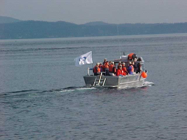
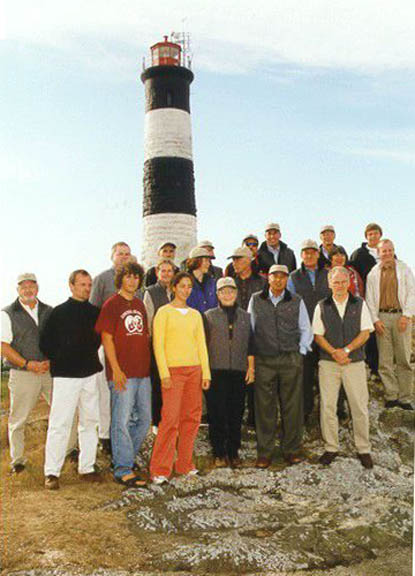
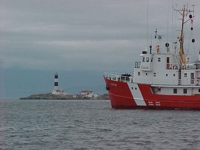
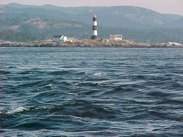
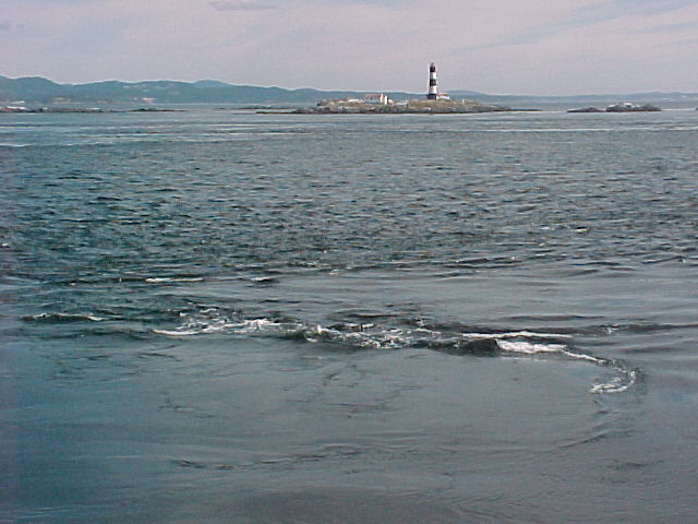
Named for its strong tidal currents and rocky reefs, Race Rocks is a showcase for Pacific marine life, featuring whales, sea lions, seals, birds and a wide array of underwater plants and animals. Race Rocks is located 17 kilometres southwest of Victoria at the eastern end of the Strait of Juan de Fuca, and is the most southerly part of Canada’s Pacific coast. One of its nine islets is the site of Race Rocks Lightstation, the second oldest lighthouse in Western Canada.
For a virtual tour of Race Rocks anytime, visit http://ww.racerocks.ca
-30-
For information:
Kelly Francis
Fisheries and Oceans Canada
(250) 616-9143 |
Alex Dubrowski
Environment, Lands and Parks
(250) 387-9423 |
Tom Sampson
Coast Salish First Nations
(250) 652-3889 |
Sabine Jessen, Conservation Director
Canadian Parks and Wilderness Society-BC
(604) 685-7445 office
(604) 657-2813 cell |
Dan Kukat, Vice President
Whale Watch Operators
Sport Fish Advisory Board
(250) 386-6016 |
Angus Mathews, Director
Administration & Operations
Lester B. Pearson College
(250) 391-2406 |
NOTE: THIS WEB PAGE HAS BEEN COPIED TO OUR SITE TO PRESERVE IT FOR ARCHIVE PURPOSES. (.It appeared originally at:: http://www-comm.pac.dfo-mpo.gc.ca/english/release/p-releas/2000/nr00120e.htm)