Today the wind continued its westerly path, bringing fresh ocean air in through the central Strait of Juan de Fuca at 20 to 35 knots. The sky was mostly clear, with clouds forming in the distance, along the tops of the Olympic and Cascade Mountain ranges. The barometer continued the climb it started yesterday until late afternoon, reaching almost 1020 hPa., before starting to gradually drop as the sun descended toward the horizon. Gale warnings continue to be in effect and the forecast calls for a mix of sun and cloud tomorrow.
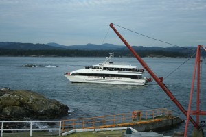
Five whale watching vessels were observed working in the Ecological Reserve today in spite of adverse weather conditions. They all moved carefully and at a respectful speed being mindful of the marine mammals (Elephant Seal, Harbour Seals, Sea Lions, Sea Otter) and nesting seabirds in the Reserve. The only other vessel observed transiting the Ecological Reserve today was the Fisheries and Oceans vessel, Cape Kuper travelling at a discreet 25 knots towards Victoria, in the go slow zone.
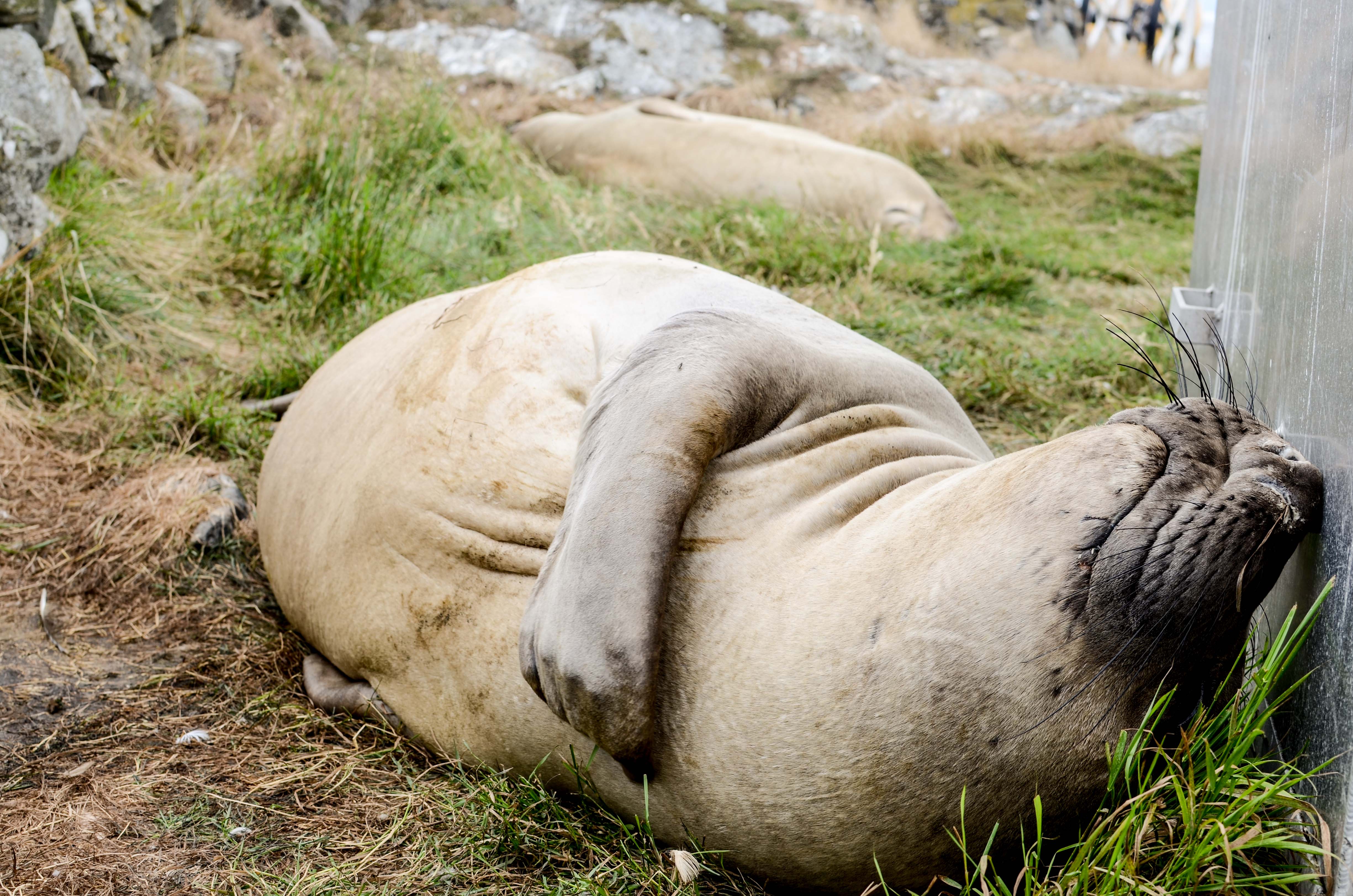
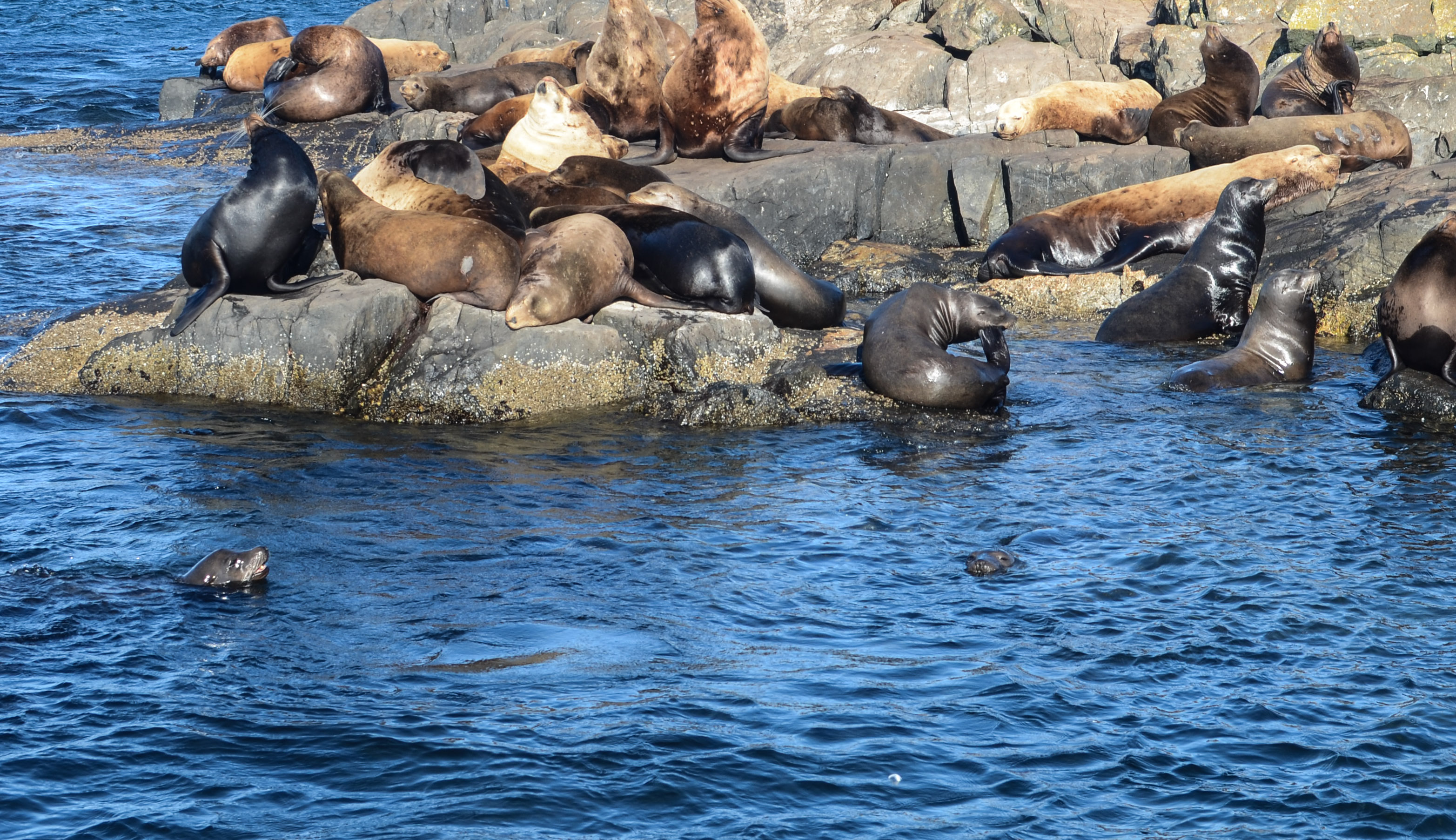
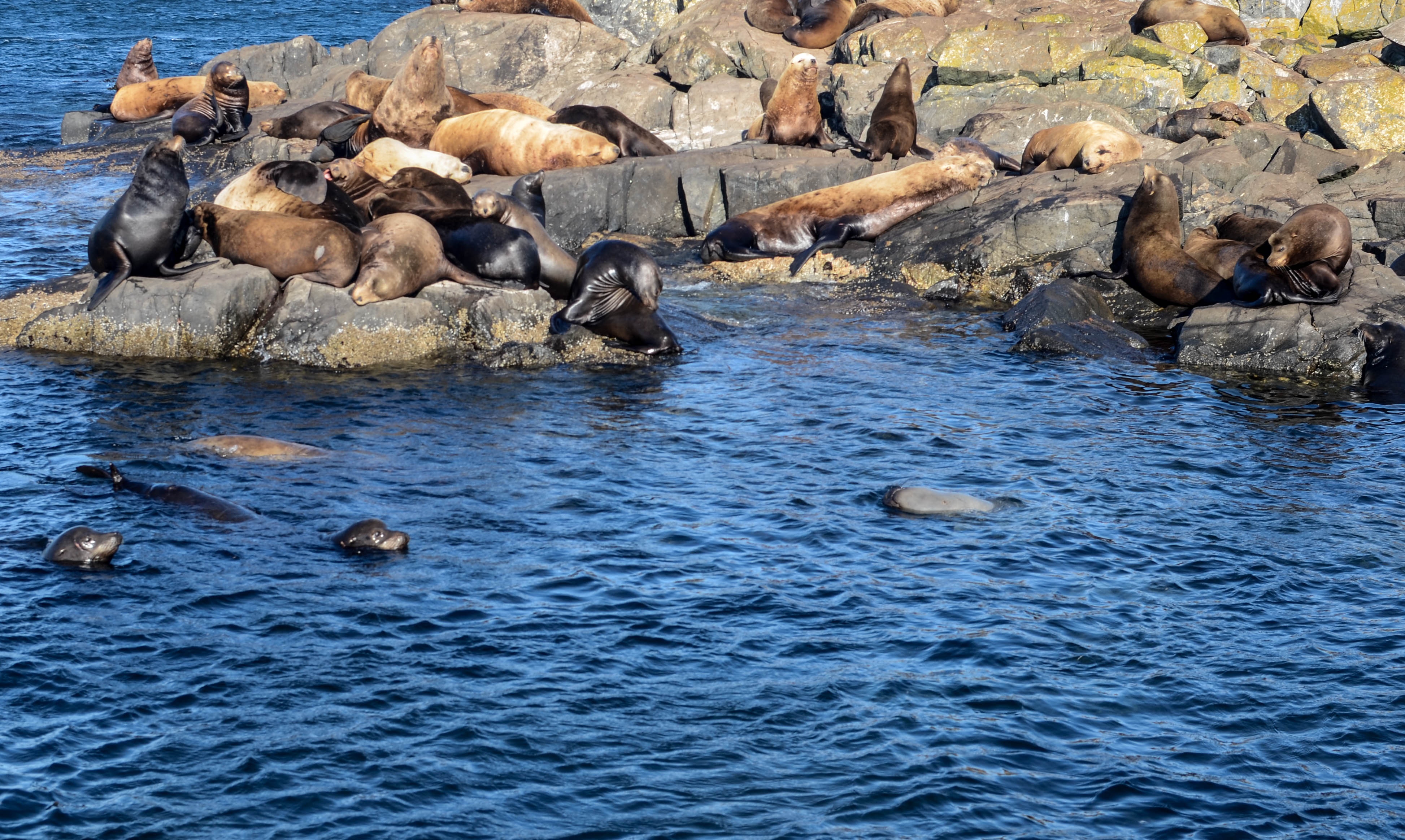
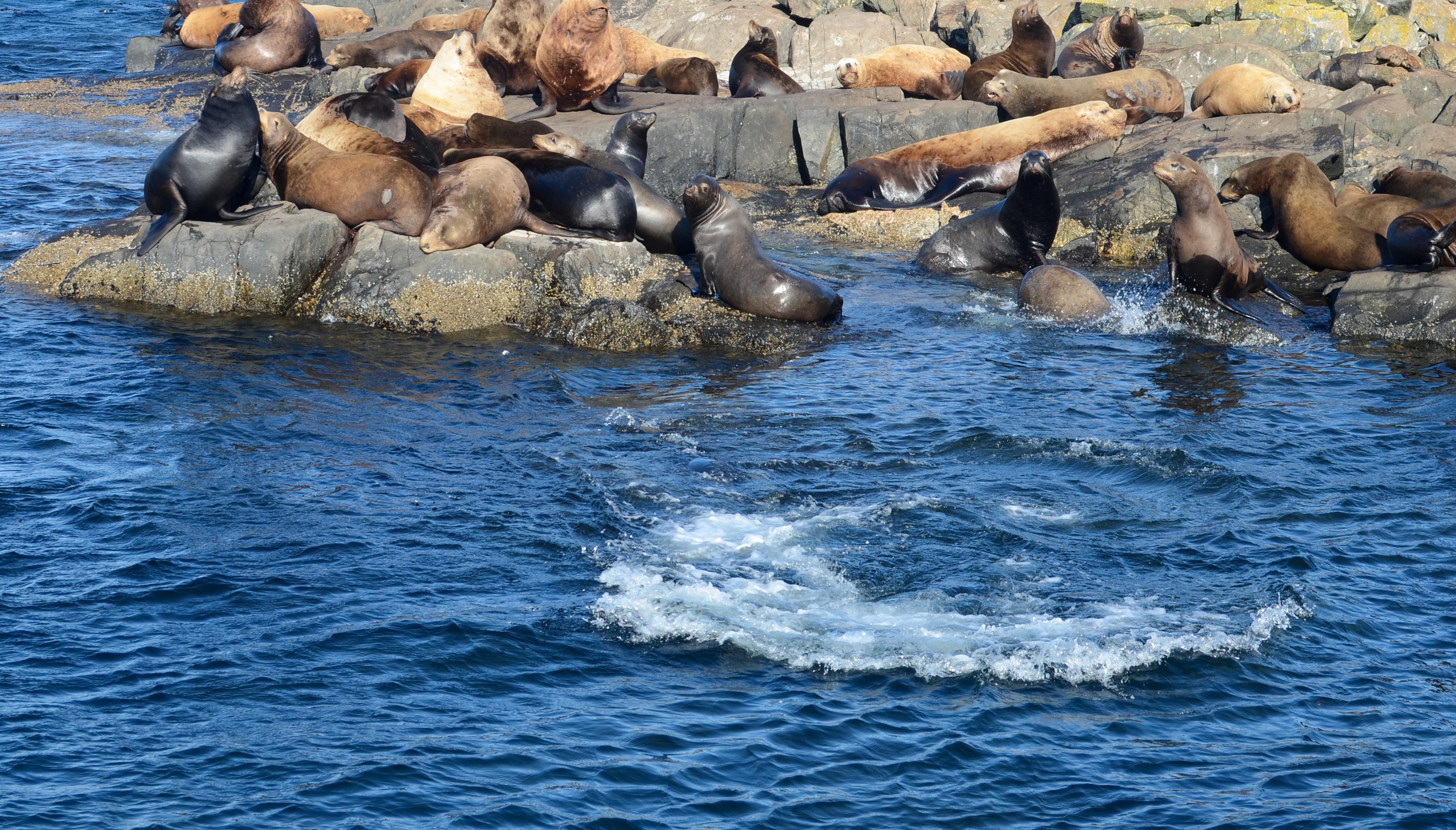
Ecological happenings described in some detail in my earlier logs continue. (Elephant Seals haul out, socialize, sleep and moult. Other pinnipeds haul-out socially. Glaucous-winged Gulls, Pigeon Guillemots and Black Oystercatchers mate, nest, lay, incubate and get territorial. Mixed species feeding flocks (fish balls) attract gulls on the water and kelp is still growing.)
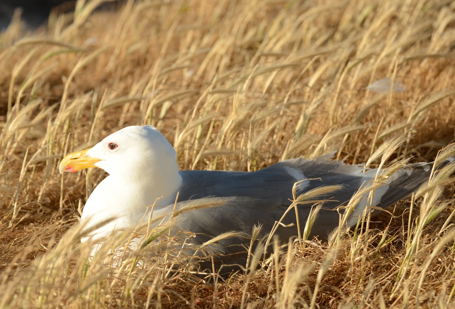
Glaucous-winged Gull incubating three eggs.
Of note was the sighting of Biggs’ Killer Whales (Transients) in the evening. I counted six individuals including a large bull with a very triangular fin. The two whale watching boats closer to them reported seven or eight individuals including a young calf. As often happens with T’s, as they used to be known, we spotted them a couple of times and then they totally disappeared. They showed up again, with the whale watching boats “in tow” a mile or so to the east.
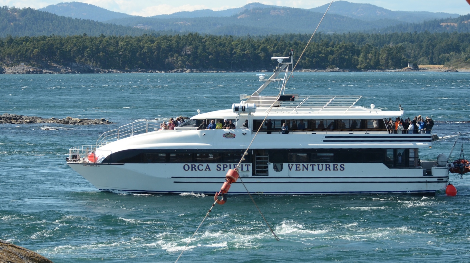
Orca Spirit runs upstream through Middle Channel.
Here are the results of the weekly animal census.
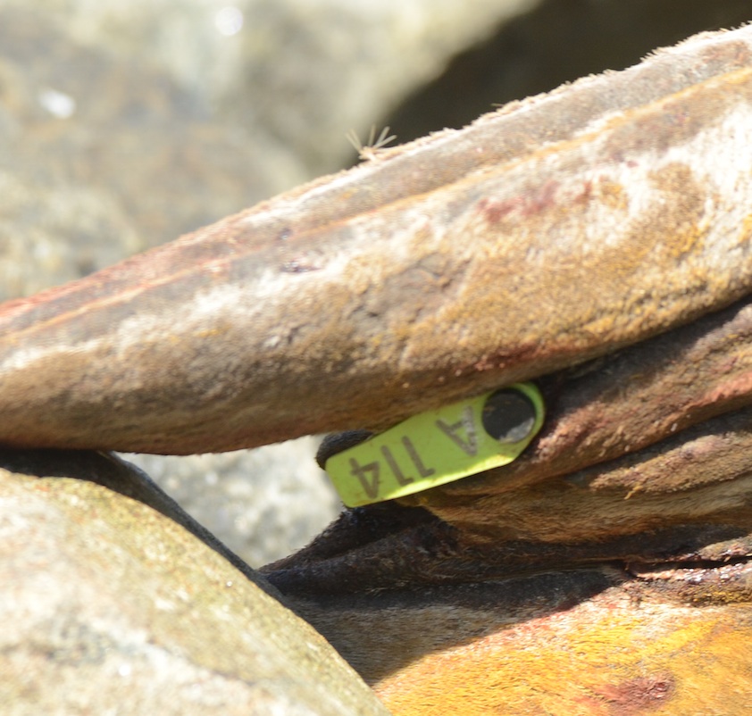
Northern Elephant Seals 3 (Chunk, Floyd and young female) only on Great Race, none on Middle Rocks)
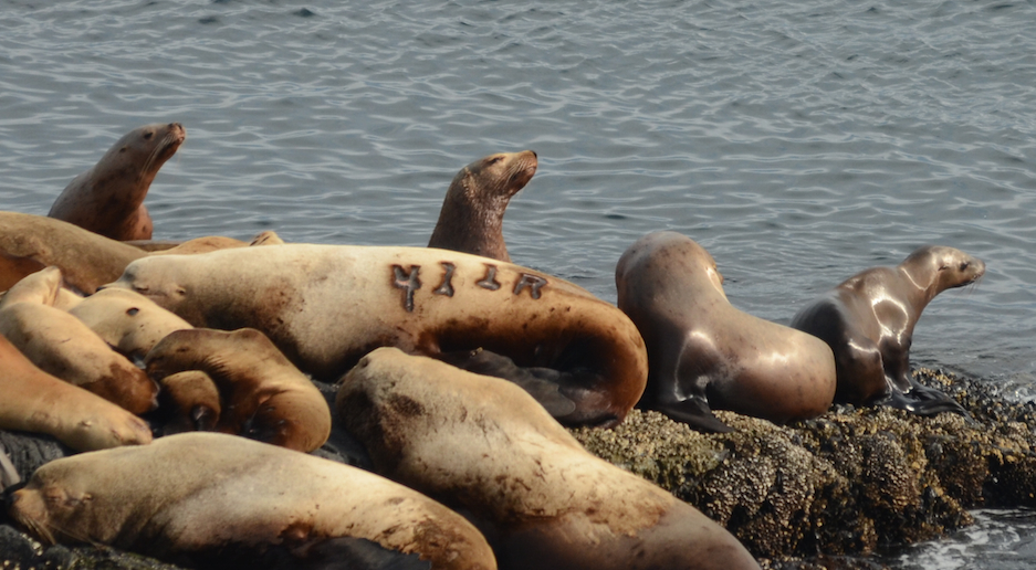
Harbour Seals 221
California Sealions 1
Northern or Stellers Sealions 1 (juvenile (Could be the two year old that was still with its mother earlier in the season (that size).)
River Otter (not seen but probably still here, fresh feathers in boat house)
Sea Otter 1
Biggs’ Killer Whales 6 (Transients) (Just north, outside of Ecological Reserve in Middle Channel near North Rock.)
Humpback Whale 1 (“Big Mama”) (Just outside of Ecological Reserve to the south of Rosedale Reef.)
Canada Geese 16 (= 10 goslings + 6 adults) (most have left)
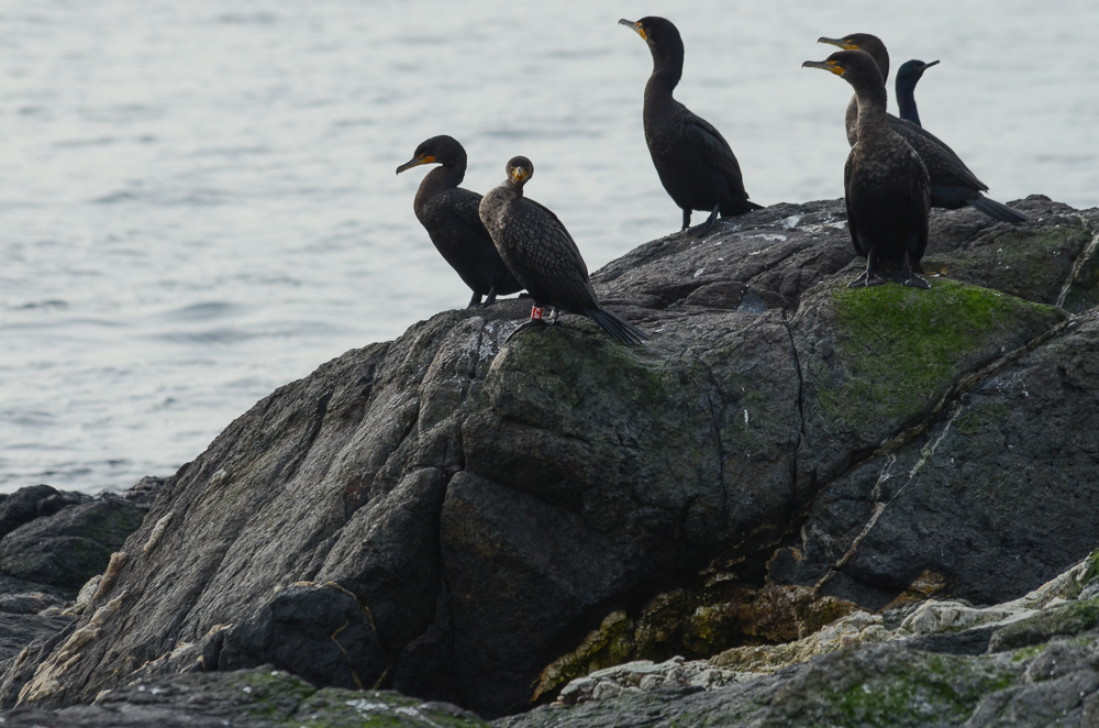
Pelagic Cormorants 3
Double Crested Cormorants 5
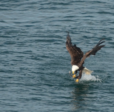
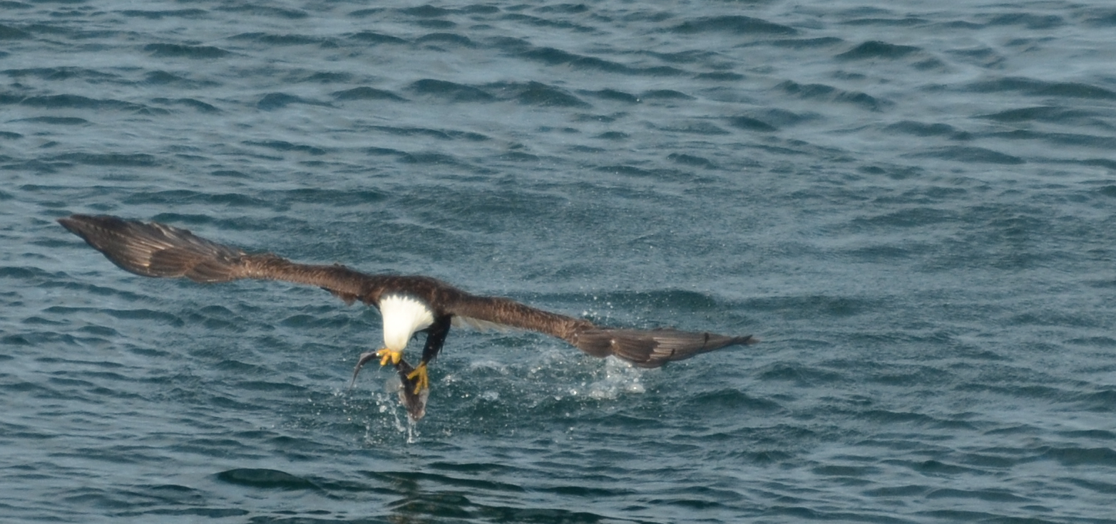
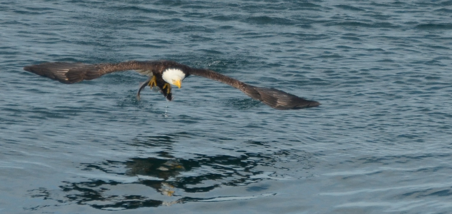
Bald Eagles 1 sub-adult (no adults seen)
Black Oystercatchers 8 (4 nesting pairs)
Kildeer 2
Pigeon Guillemots ~100
Glaucous-winged Gulls total 457 (385 adults in nesting areas; 72 roosting/resting on Middle Island including 14 juveniles). Large majority of gulls are incubating now, although some are still getting started. No chicks observed yet
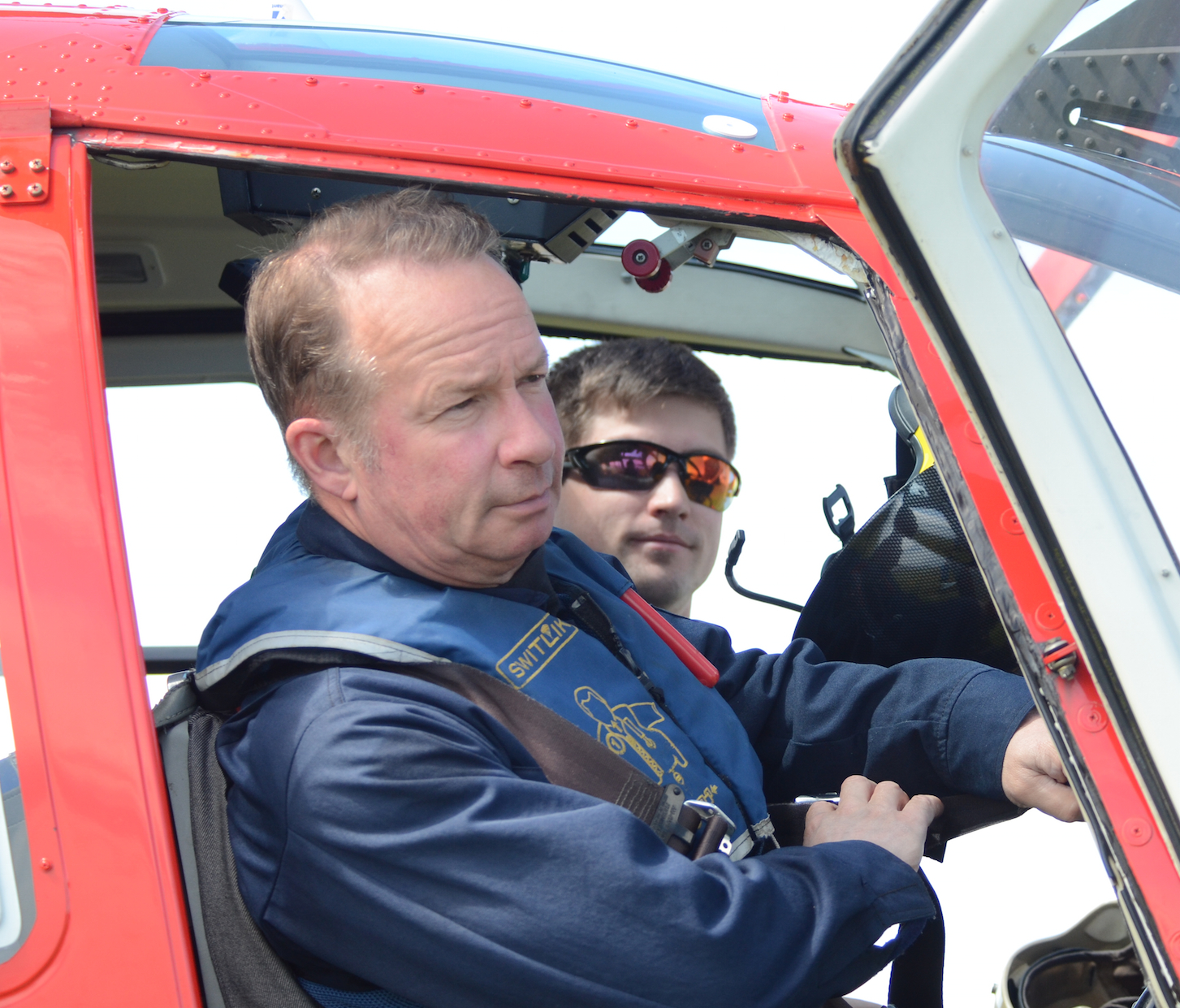
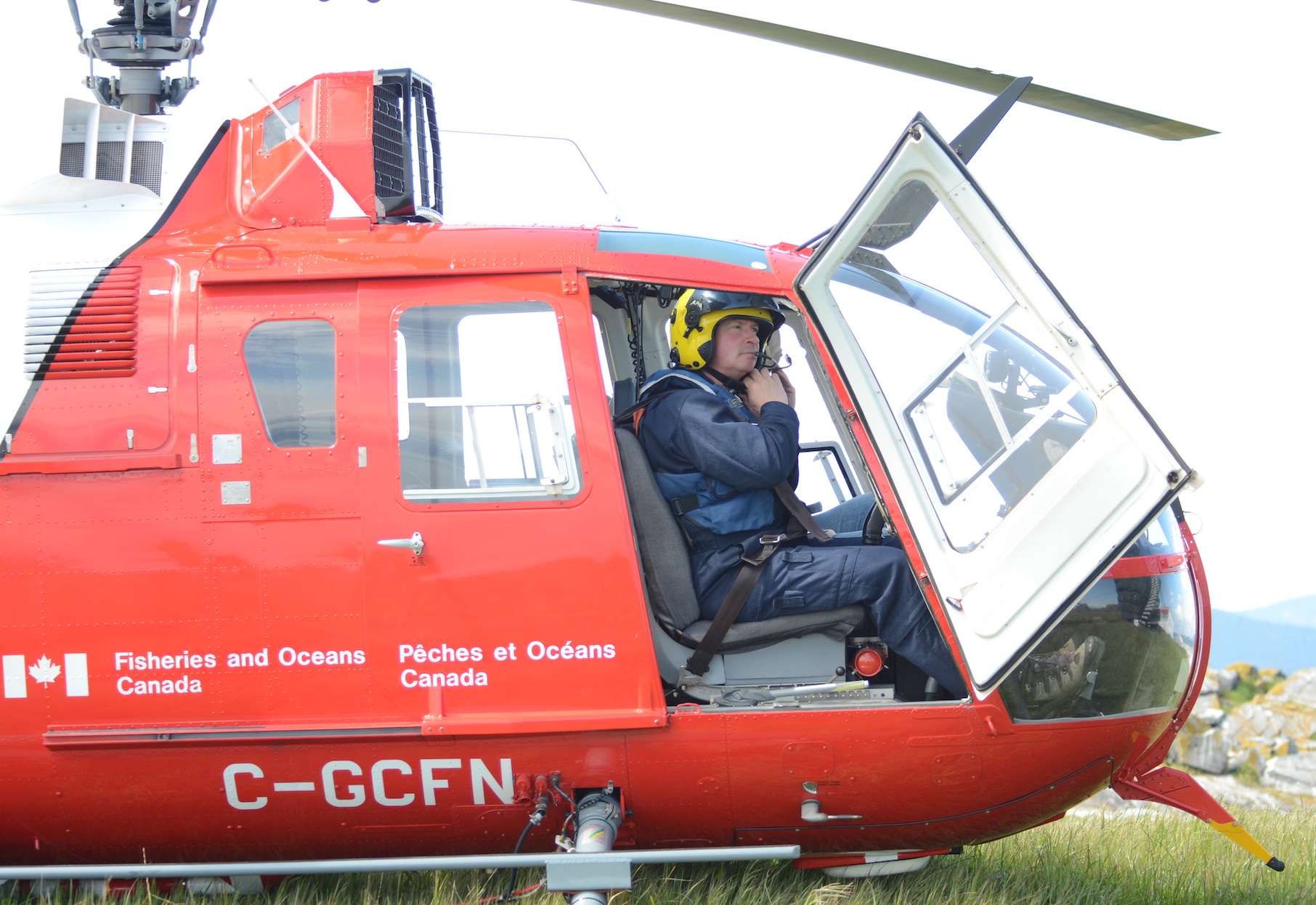
Alex and I came out on Second Nature last night with Chris. Christine and Guy returned to shore the same way. A big shout out to Chris for all his support.
There were no visitors and chores were routine, but more fun with company.