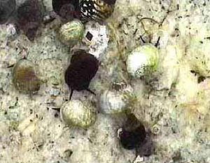
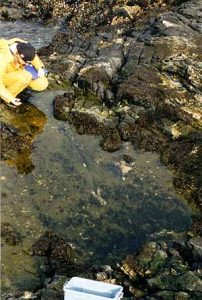
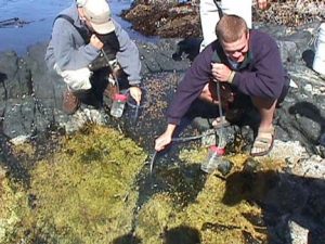
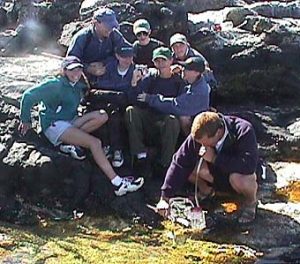
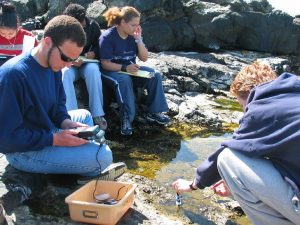
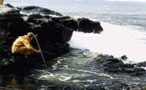
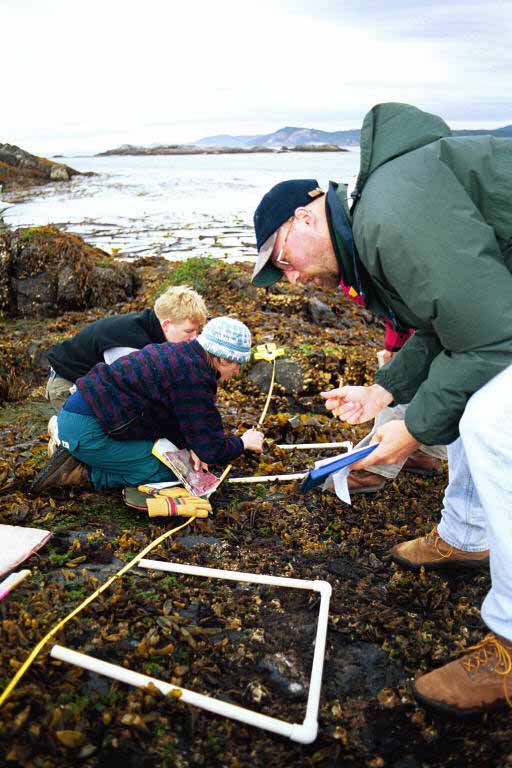
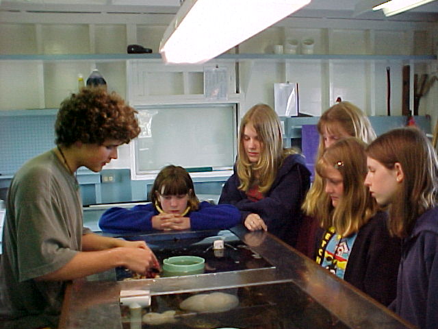
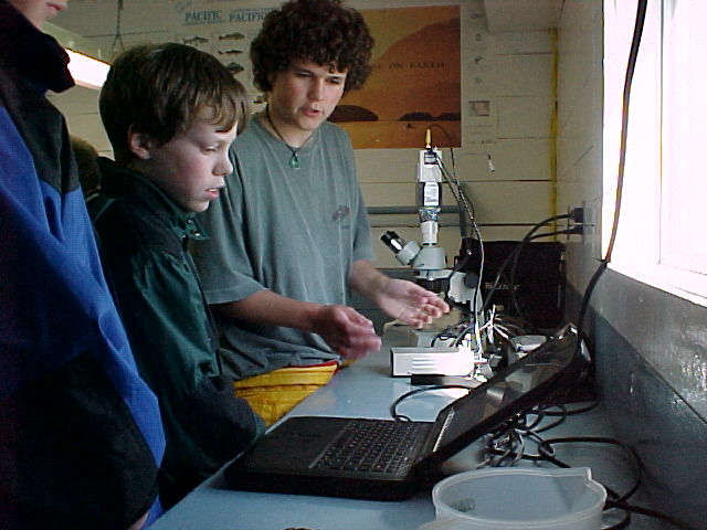
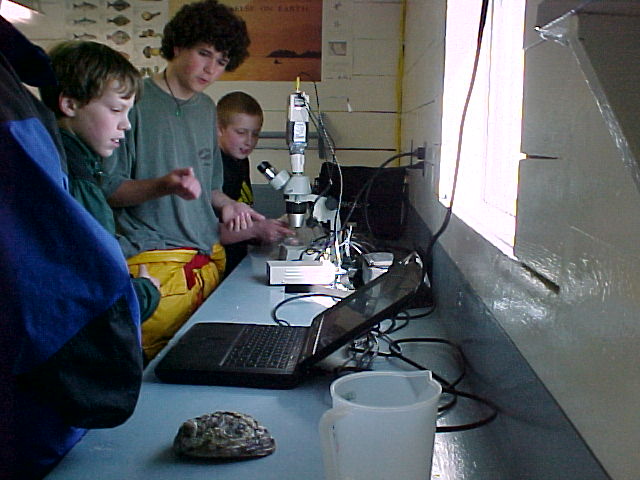
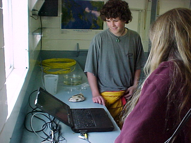
Garry Fletcher and students in the racerocks.com activity 2003
A. PROGRAMME/ MULTI-MEDIA PRODUCT DESCRIPTION
Lester Pearson College is a non-profit educational institution with students on scholarship from 85 countries. It operates and manages the Race Rocks Ecological Reserve and Marine Protected Area as a community outreach program. Students involved in our science and activities programs get the opportunity to participate in the building and operating a website devoted to providing an educational resource for this unique environment.
Racerocks.com ( now racerocks.ca) was conceived as a project to utilize technology and the internet to bring to the educational community access to a sensitive ecosystem. Our goal was to do that without being part of a negative human environmental impact. Through the generous support of sponsors and partners, in March 2000, the website http://www.racerocks.com/went live on the internet. Since that time three cameras have sent live images continuously and the students and faculty of Lester Pearson College as part of the ongoing stewardship of this area, have produced a large resource of supportive background materials and archived video. In addition, a portable video camera and webcast channel is available for special event programming both from Pearson College and Race Rocks. From the outset we have maintained a commitment to present a non-commercialized site.
This year we are doing an expansion of the live webcasts, which is dedicated to providing regular live webcasts to schools and museums. Trial live webcasts to the Museum of Nature in Ottawa have shown the effectiveness of this approach. The media for this program is entirely Internet based so consequently this entry will use that media to present the project. We have highlighted 9 components of the website which are particularly well-suited to demonstrate the value of the resource to education at a number of levels. Some are specifically targeted at the Middle School level, and some are appropriate for high school and even introductory level ecology classes at the university level. It goes without saying that the site is available to everyone with an internet connection and we also get positive feedback from interested viewers in general. The following represents some of the curriculum links provided by racerocks.ca
(THE FOLLOWING LINKS ARE BEING REDONE)
1. The Jason Program activity files on Race Rocks:
These files are designed for the Middle School Level. They provide a detailed set of objectives and a teacher information file, as well as assessment methods.
http://www.racerocks.com/racerock/jason/index.html
a. Scavenger Hunt (An introduction to the racerocks.com website)
b. Geology and Geography (Abiotic Characteristics at Race Rocks),
c. Preserving the Past and Present Culture of Race Rocks (The Thirteen Moons),
d. Maintaining our Coastal Ecosystems (An Ethology),
e. The Northern Abalone,
f. Pinnipeds,
g. Conservation,
h. Seascape – Art
2. The Apple Learning Interchange Files:
The Apple Learning Interchange provided the distribution network on the internet making it possible for thousands of student connections per week. This exhibit provided one with a glimpse of the educational programs, the technology that makes it possible, as well as ideas to help use our resources in the classroom. (Link discontinued)
3. The Race Rocks Taxonomy:
This class assignment allows students in environmental systems and biology to prepare a taxonomy of a species from the Race Rocks area and link to it educational videos and pictures of the species in their habitats at Race Rocks. This provides a useful activity where students can accomplish a number of objectives while contributing a permanent “digital legacy” to help in making this site an enriched educational resource.
http://www.racerocks.com/racerock/eco/taxalab/taxonomy.htm
We have also linked to this exercise a template to encourage other schools to use a similar approach for recognition and conservation of biodiversity in their own local ecosystems. http://www.racerocks.com/racerock/eco/newecosystem/genusfolder/studentemplate.html
4. The “Adopt an Ecosystem” project:
Environmental Education involving science students at undergraduate levels in direct action is the goal of our program at Pearson College. We have found that the production by students of internet materials on environmental issues is a vehicle for doing this effectively. This is a tool, which provides incentive for environmental understanding and encouragement of an “adopting an ecosystem” attitude that can have important consequences in education. The emphasis is on “action” and seeking methods to enable collaboration with others to help solve environmental problems. Students at Lester B. Pearson College have been learning about environmental issues by producing materials for the internet, a “Digital Legacy”. In this way, their education has the added advantage of serving as a resource for others in the educational system in British Columbia and around the world. It also allows them to participate in facilitating collaborative efforts in environmental research.
https://www.racerocks.ca/educational-resources/adopt-an-ecosystem/
5. Race Rocks as a Resource for a Statistics exercise.
The purpose of this file is to enable a student to transfer Environmental Data being recorded at Race Rocks from an EXCEL spread sheet presented on the internet to their own computer in order to be able to graph trends and analyze relationships. Long-term databases are very important for monitoring change in ecosystems. Patterns of cyclic activity and even events such as Climate Change can be detected from the Race Rocks Data.
http://www.racerocks.com/racerock/education/curricula/ibbiology/labairseatemp.htm
6. Links to Race Rocks Resources for the BC Grade 11 Curriculum:
Selected Biology Prescribed Learning Outcomes are taken from the B.C.Ministry of Education K-12 Curriculum and Learning . The Outcomes which are related to Race Rocks are presented on this page with racerocks.com links
http://www.racerocks.com/racerock/education/curricula/bc11bio/bc11bio.htm
7. IB Biology and Environmental Systems Ecology Resource.
The objectives of the IB program for secondary students are linked to appropriate activities and resources in this file.
http://www.racerocks.com/racerock/education/curricula/ibbiology/bioecol.htm
8. The Animal Behaviour studies:
This file is intended for Secondary school students. It provides ideas for taking the live images on the cameras and doing a scientific study of the complexities of animal behaviour.
https://www.racerocks.ca/the-ethology-assignment/
9. The Ecological Niche and The Transect File:
These two files demonstrate useful ecological quantification techniques and allow an interactive format for the students to study this aspect of ecology. They further provide a model for doing similar studies in one’s own ecosystem.
and https://www.racerocks.ca/ecological-niche-the-empirical-model/
http://www.racerocks.com/racerock/transect/transrrk.htm
B. FURTHER DETAILS ON PROGRAMME/MULTI-MEDIA PRODUCT
1. Fitness for Need and Purpose:
The main aim of the program is to provide a virtual website which presents as many aspects as possible of an environmentally sensitive area, allowing investigators to use the resources of the area without contributing to a negative environmental impact. The target audience is wide ranging, from elementary school to university and the general public. Some of the materials presented are interactive, some present curriculum ideas which can be pursed in the classroom, and some challenge others to use the model of this area to instill the values of environmental stewardship in others so that more areas can be protected yet made available virtually to the public. Since we at Pearson College have benefited for so many years from the resources of this special ecosystem, we feel that by making it available to all, we can contribute a great amount to environmental education. We are continually seeking feedback from groups and individuals who use our resources.
.
2. Design and presentation to suit distance learning:
The materials of racerocks.com are available to anyone with an internet connection. Although the live streaming video is a highlight of the site, it was appreciated early on that for the next few years, not everyone would be able to receive it on high speed cable. As a result, a wide range of materials have been added to the site to reduce dependency on the speed of the network. Many of the archived video have been provided in a 56K format for downloading where only modem access is available. The part of the website designed for Middle School learners in particular has been designed to facilitate easy implementation by the teacher, complete with specific Learner outcomes and assessment procedures. The level of difficulty varies greatly, with an Ecological Niche modeling lab at one end of the spectrum and directions for downloading video and images to use in your own presentation at the other. Copyright release has been provided to anyone using the materials for educational purposes. The provision of two robotic cameras provide a level of interactivity unsurpassed in most educational media. If students are given an assignment where they have to quantify behaviours of an animal, and they can do that remotely by manipulating the controls of a camera, then this is a great motivational device for learning.
3. Use of a systematic course/multi-media product development process
 When in the fall of 1999 we received the Canada Millennium Partners Fund grant to start this project, we enlisted the voluntary help of an internet consulting company, LGS of Victoria to assist us in project management and web site design. Our administrator Angus Matthews directed the technical progress of the project, and our Biology and Environmental systems faculty member Garry Fletcher directed the educational content development of the site. Members of the B.C. Department of Education PLNet were asked to comment on the site as were a number of graduates, and local elementary teachers. Feedback has been received since the inception from a wide range of our audience, and most of it has been positive. The only problems identified are usually those related to the need to install the free QuickTime software onto computers in order to see the archived and live video. The request from the Jason Foundation and the B.C. Department of Education to produce special materials for the middle school last year to serve as the Canadian component for coastal resources for the Jason Project was definitely a benefit to the upgrading of our middle school curriculum materials.
4. Coherence and Integration of media and technology in the study materials
The technology was chosen because it was recognized to be the most dynamic for a changing world where the updating of the information and the rejuvenation of curricular materials can be done on an ongoing basis. This would not be possible with static media such as a CD or a DVD. Furthermore, since our materials are developed on a voluntary basis, we were determined that equal access to all of a non-commercial site should be possible. It can be appreciated that with declining school budgets, funds are often available for infrastructure and hardware but not often for updating materials. The media of the internet makes possible the most current and in this case “in real time” resources to be made available. Our efforts are valued by the Educational Branch of Apple to the extent that they are currently providing us with a generous updating of hardware for our webcasting computers and continue to provide free of charge access to their Akamai network for serving of the live streaming video on the four cameras.
5. Evidence of Impacts and benefits derived from Evaluation
1. We frequently get feedback from schools and individuals thanking us for the materials and the approach used on racerocks.com. Appreciative comments have come from parents doing home schooling and two of our South American students have been able to do a live presentation in Spanish for an inner city elementary school in California. This got rave reviews from the children, and they were very appreciative of the two students who presented it. Each year we also bring out several small groups of school children from local middle schools. These children serve as proxies for those back in the classroom and in this way provide a first hand link with the environment. See an example of one of these trips on http://www.racerocks.com/racerock/archives/vidwestmont2a.htm Teachers, students and parents frequently express their gratitude for this opportunity to visit the site virtually, with their own guides on the scene as well.
2. In recognition of the educational value of our program, we have been acknowledged in the indexing of the GEM , Gateway to Educational Materials of the US Dept of Education (http://www.thegateway.org/) and the National Library of Canada (http://www.nlc-bnc.ca/caninfo/ecaninfo.htm)
3. The racerocks.com program has been recognized by a number of media sources linked from our file: http://www.racerocks.com/racerock/news/oct00news.htm In particular, in the journal Education Canada in the edition on Education and Technology. Vol. 41, No 3. http://www.racerocks.com/racerock/news/2001/edcan/rrcomeduc.htm
4. Since part of our goals relate to the involvement of our own students in providing the programming live via the internet, the following account describes how one of the three students expressed his satisfaction with the process last June in bringing a set of live programs to the internet:
“I am one of three Pearson College students currently spending 11 project days at Race Rocks Marine Protected Area. We are all year 29 students of Pearson College who decided to stay for this project after our first year, and we’ll soon be going home to different countries of the world.Oceans have always had a great fascination on me. Coming to Pearson College and living on the Pacific Ocean was the realization of an old dream. Through my IB biology class as well as waterfront activities at the college I’ve learned to value marine life in all its beauty and diversity. During the year, I spent one project week at Race Rocks, studying marine mammal behaviour in relation to the DND’s weapons testing. Numerous trips led me out to the island, some for biology classes (and related fieldwork), and some for helping with tasks necessary for the island, such as bringing fuel for the generators. Every time I come to Race Rocks, it allows me to discover something new, to explore a new aspect of this gorgeous place. This has been an amazing time for all of us. Diving, learning more about the reserve and species living on it, contributing to research projects, producing live webcasts daily, and helping the lighthouse keepers in maintaining the station have just been some of the tasks we pursued during the last days”
Jeremias Prassl, June 2003
ADDITIONAL INFORMATION:
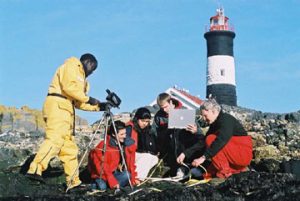 Although so many people get to use the wonderful educational resources of the Race Rocks area by going there virtually on the internet, the wildlife is not harmed and the environment remains pristine. If we can say this after another 20 years and if other places have taken this technique and applied it in a similar way, then the experiment will have been worth every bit of the volunteer time and effort to make it successful. The program takes advantage of new media and new technology in a original and creative way which will hopefully form a model for education in conservation ecology in many parts of the world. When young people are given ownership of an idea they tend to internalize the values and end up with their own real commitment. Perhaps this is the aspect which we are most proud of in this project. From the examples we have seen of what our own students have gained and contributed in this venture, we know how effective this process can be and how powerful it is an educational tool. Because the project involves a creative approach to conservation education never tried before on this scale, and because it gives the confidence to our own international students knowing that their efforts can have a wider effect, influencing conservation practices beyond our local example, we feel this program has a major value in Distance Education.
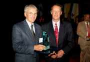
The Commonwealth of Learning selects the racerocks.com website for its Excellence in Education Award 2004.
LINK TO DISTANCE EDUCATION FEATURES OF RACEROCKS.COM
Contact information:
Garry Fletcher, Educational Director, racerocks.com
Victoria, BC.email: garryf (use the at sign ) gmail.com

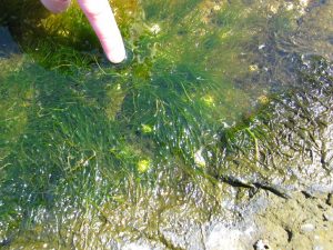
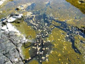
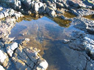
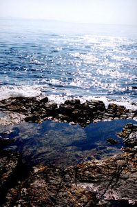 A general view of the pool.It is perched on a shelf which easily gets flooded when there is a slight swell in the ocean.