GPS Survey for Earthquake Hazard Assessment on Southern Vancouver Island

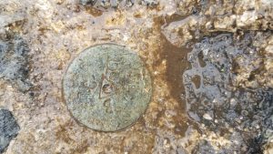
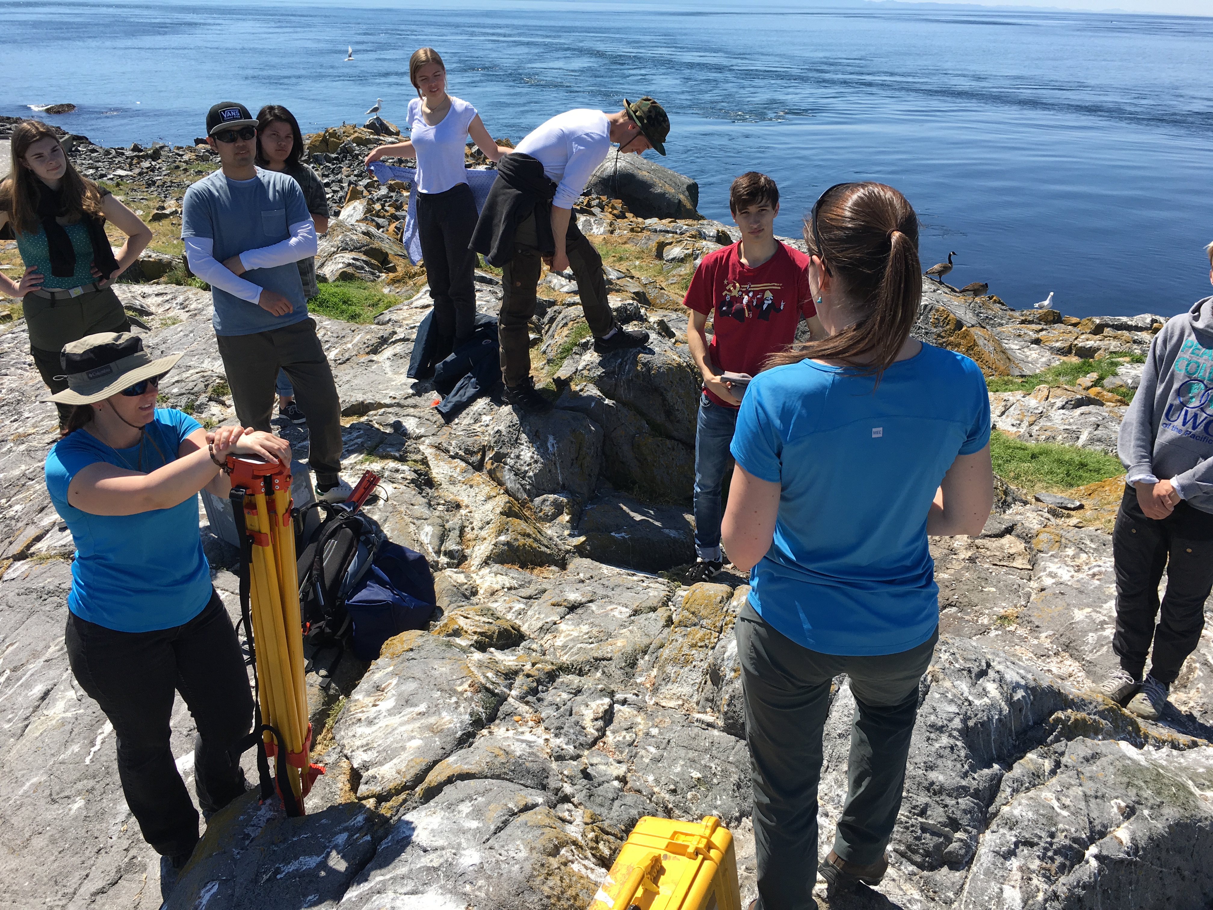
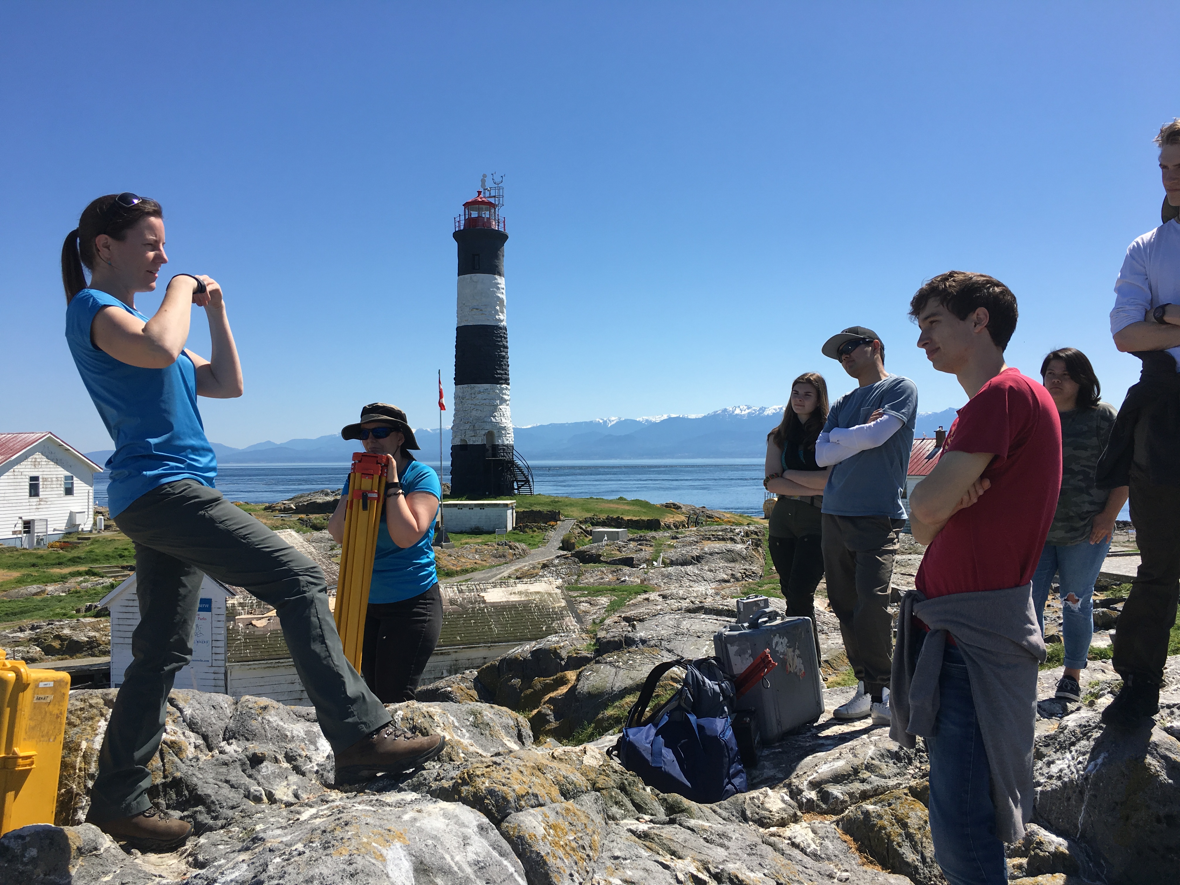
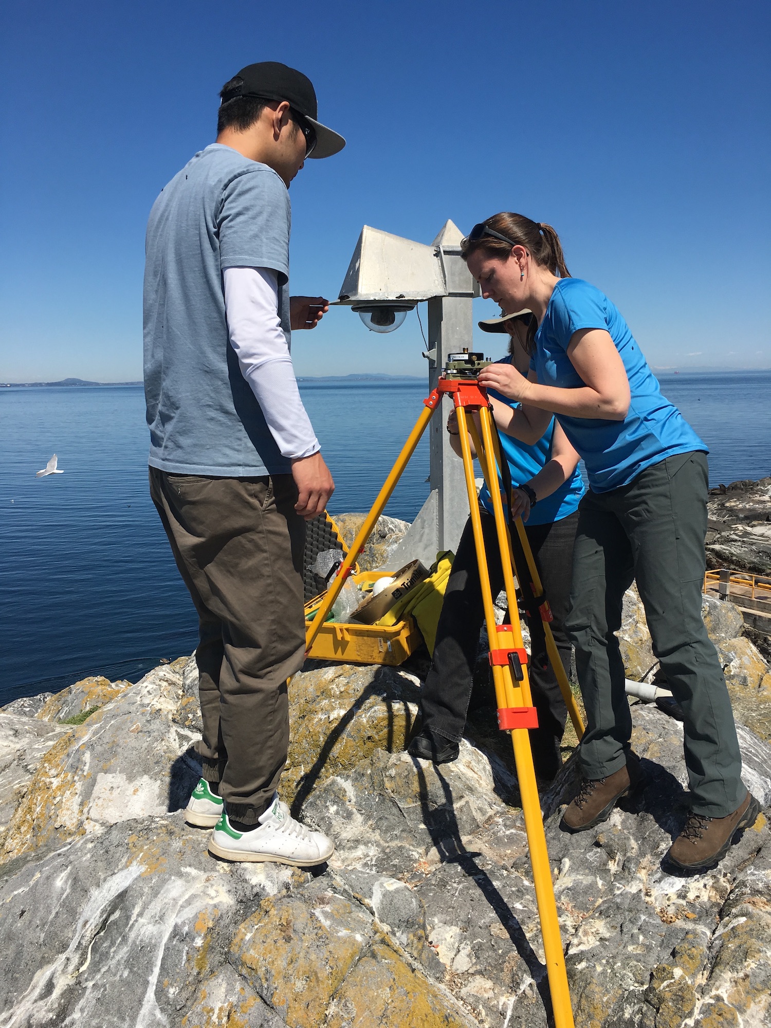
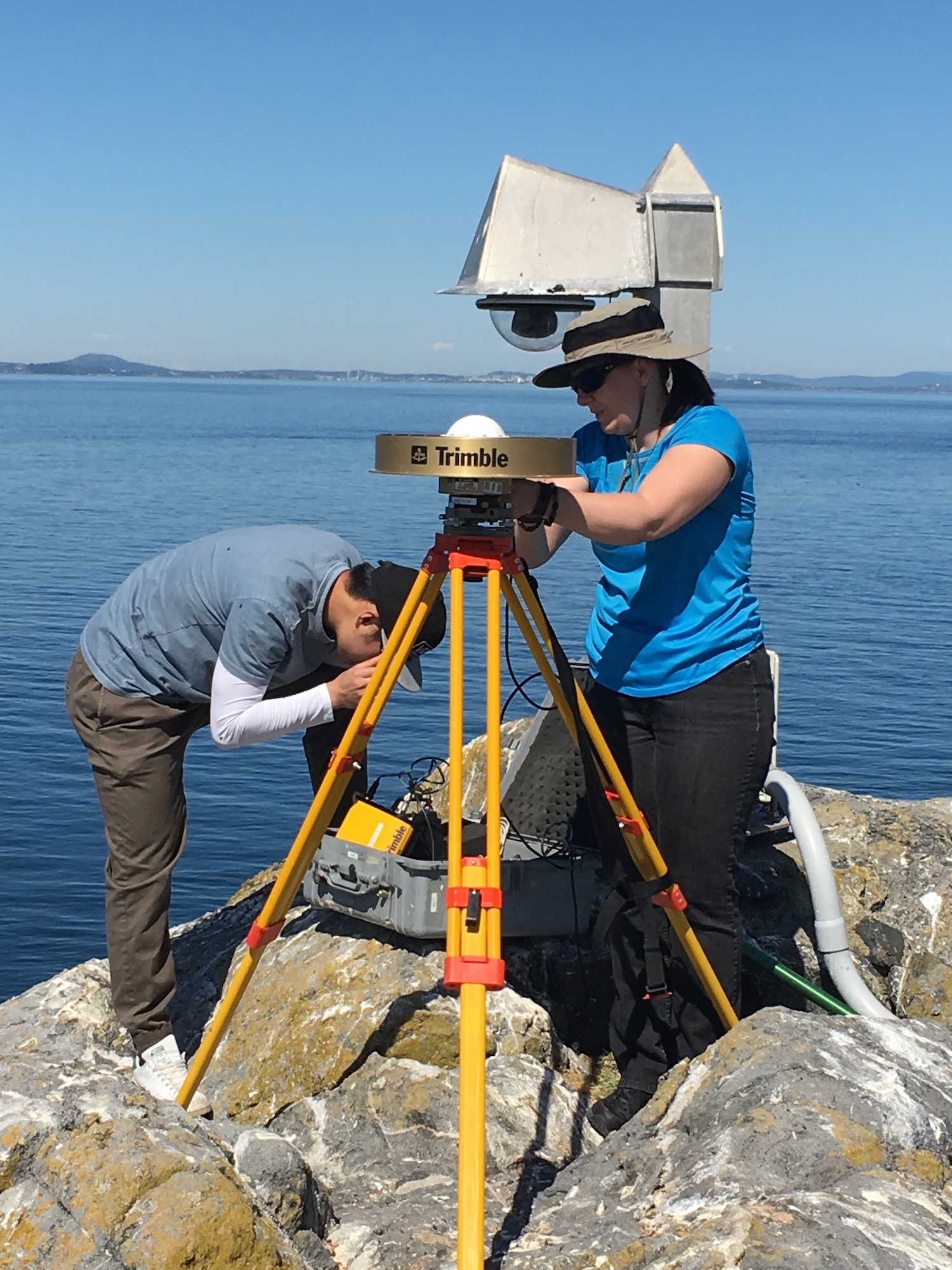
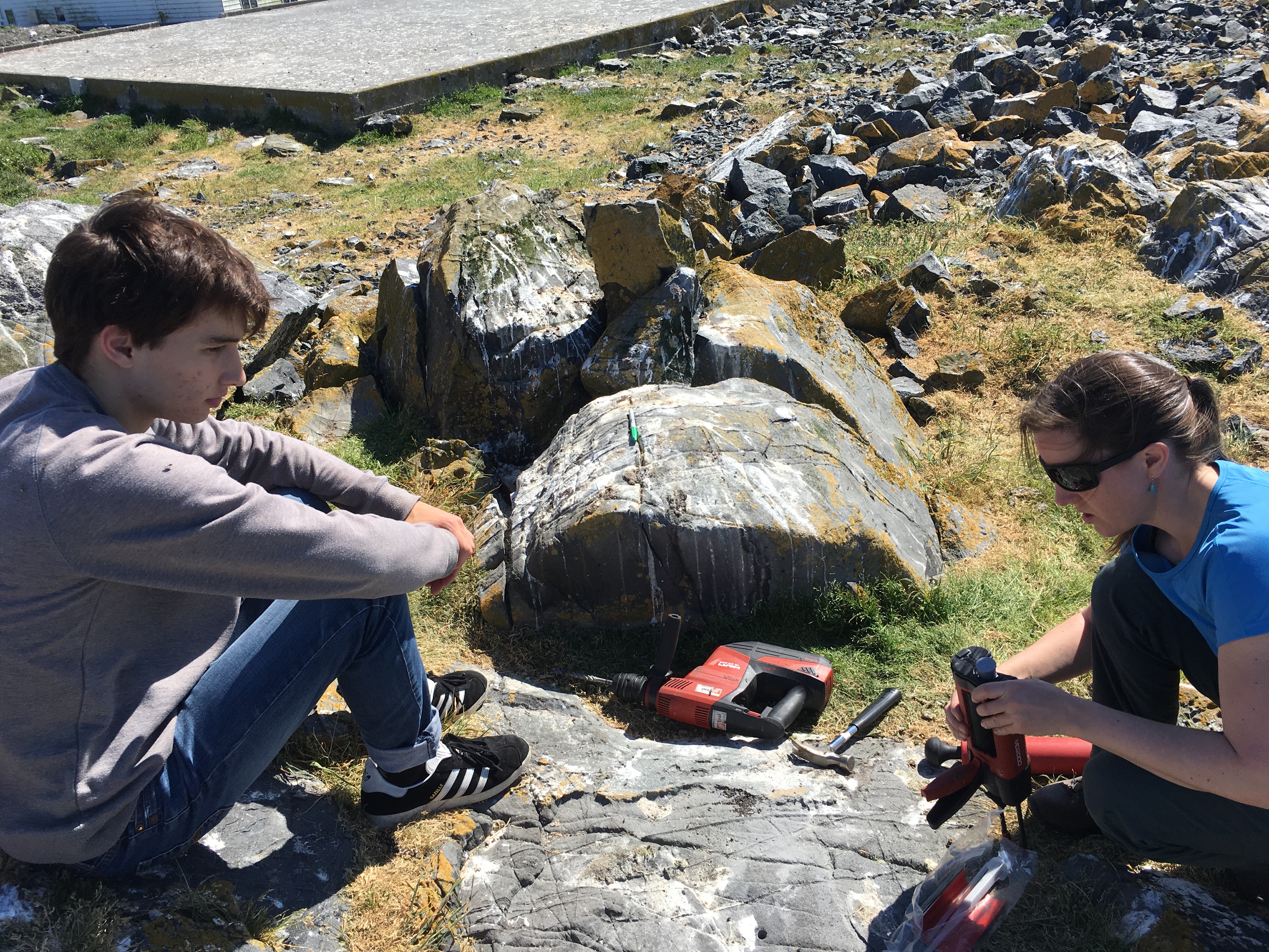
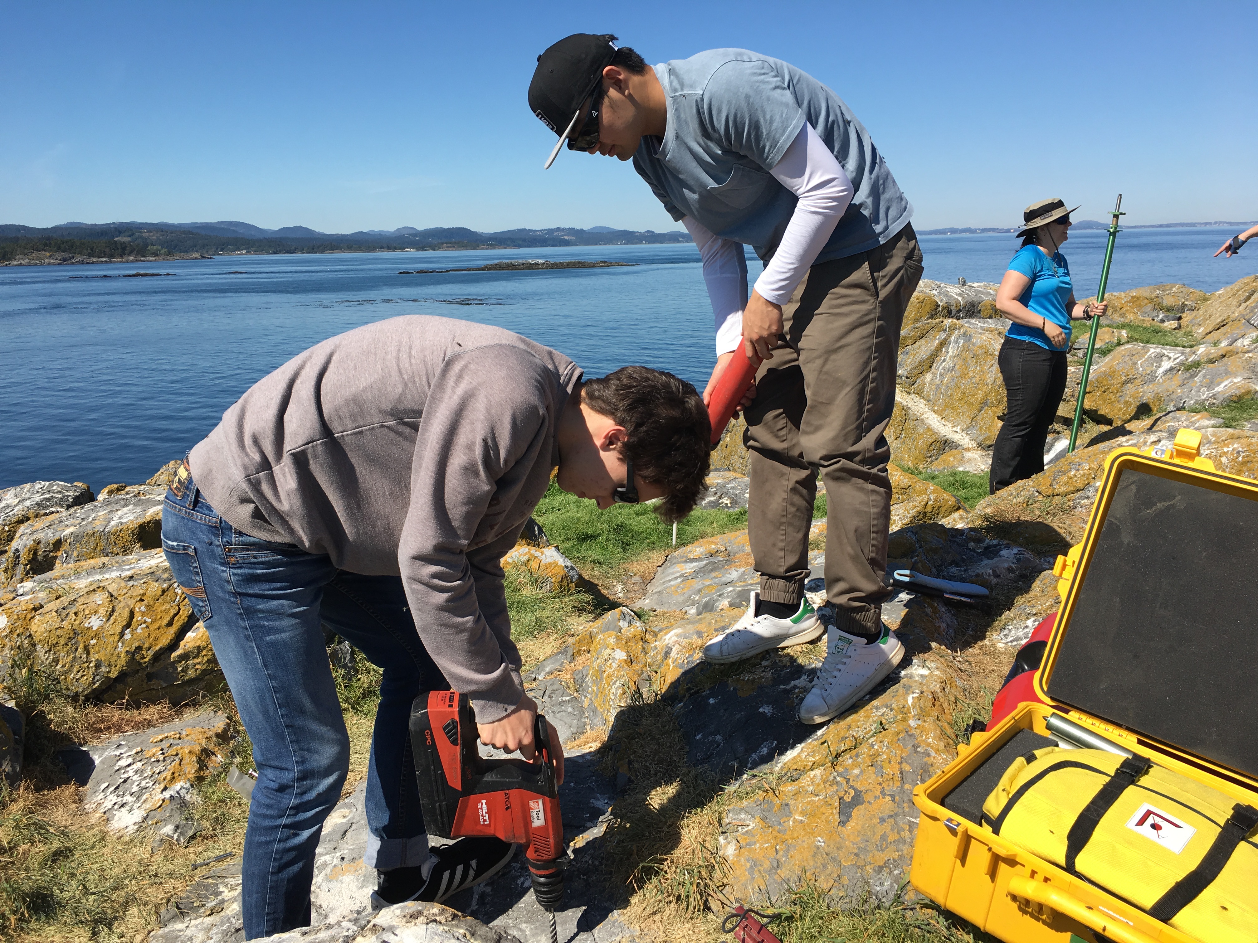
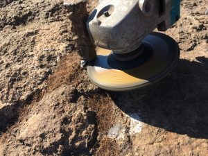
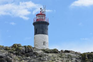
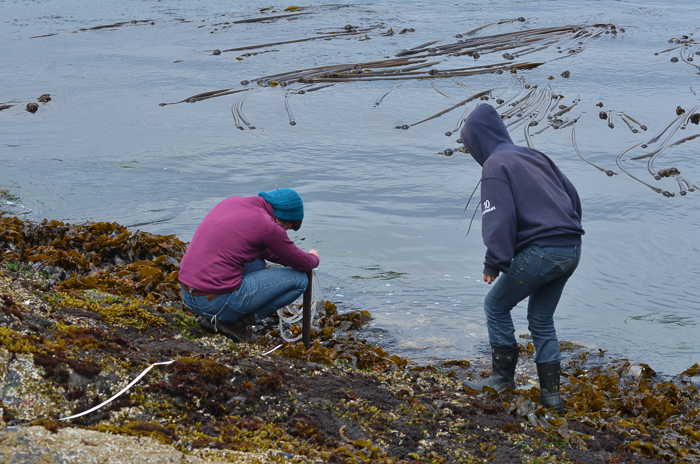
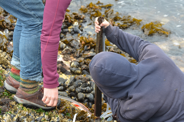
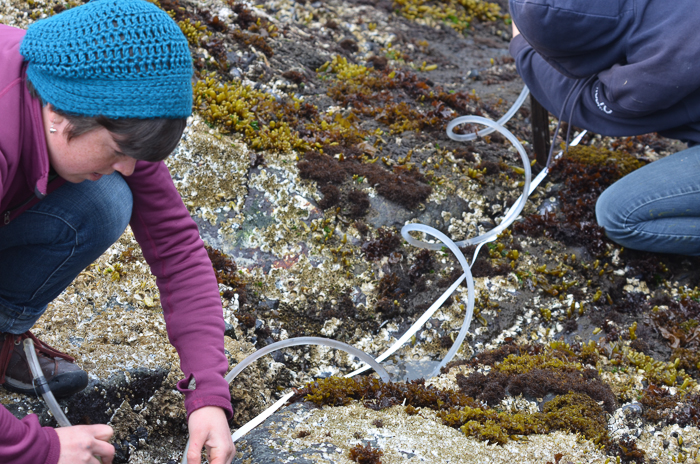
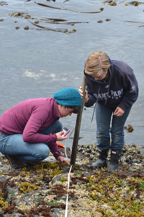
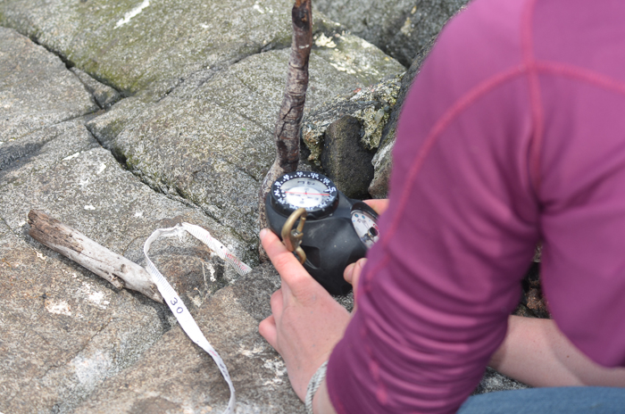
I accompanied Lucinda Leonard and two students from UVIc  Megan Caston and Yijie Zhu – they are both working towards Masters degrees in Geophysics, working on earthquakes and faults to Race Rocks along with 6 students from Pearson College for the installation of two GPS stations. Many years ago , perhaps as early as 1991, this plug had been installed a meter in front of the Camera 5 location , and it had not been rechecked since.  Laas was able to get this picture of it to verify that it was still there .

gps marker

The following is the research proposal by Lucinda Leonard, Assistant Professor (Geophysics) School of Earth and Ocean Sciences, University of Victoria PO Box 1700 STN CSC, Victoria, British Columbia, Canada V8W 2Y2

GPS Survey for Earthquake Hazard Assessment on Southern Vancouver Island

Participants: Lucinda Leonard, Assistant Professor, School of Earth and Ocean Sciences, University of Victoria
Julie Elliott, Assistant Professor, Purdue University
Yan Jiang, Research Scientist, Natural Resources Canada, and Adjunct Professor, University of Victoria 2-3 students will also take part in the fieldwork.

Objectives:

(1) To quantify seismic hazard of crustal faults on southern Vancouver Island. (2) To improve understanding of crustal deformation in subduction zone forearcs.

Scope of fieldwork:

The research project will establish and survey a relatively dense network of high-precision Global Positioning System (GPS) sites across fault zones on southeastern Vancouver Island that may host significant earthquakes. The 2018 survey will involve temporary instrument deployments at a number of pre-existing survey markers as well as new markers emplaced in bedrock. We anticipate future deployments every 1-2 years over the next 5-10 years.

Rationale:

Southeastern Vancouver Island is a region of high seismic hazard due to its location above the Cascadia subduction zone – the region is susceptible to damage from: earthquakes on the Cascadia megathrust fault offshore (magnitude ~9; similar to the devastating 2011 tsunamigenic Japan earthquake), deep earthquakes beneath the Salish Sea and Puget Sound (up to magnitude ~7; e.g., 2001 earthquake in Nisqually, Washington, that caused minor damage in Victoria), and earthquakes on poorly-understood shallow crustal faults (up to magnitude ~7.5; similar to the 2011 damaging earthquake in Christchurch, New Zealand). Crustal earthquakes, although smaller in magnitude than megathrust events, may produce strong shaking in urban areas due to their shallow source and possible close proximity. Modelling of a scenario crustal earthquake beneath the City of Victoria estimates extensive damage to 64% of building stock, 75% of the water pipeline system, and 90% of the sewer pipeline system in the city (VC Structural Dynamics Ltd., 2016).

Crustal faults remain poorly understood in the region, although recent progress includes the identification of surface-rupturing Holocene earthquakes on the Leech River fault (Morell et al., 2017) and its likely offshore equivalent, the Devil’s Mountain fault (Barrie and Greene, 2018). Fault mapping and trenching are important to determine the maximum magnitude of past and future earthquakes on individual fault strands, but these methods cannot provide accurate estimates of slip rates on fault zones, as required for input into seismic hazard assessments. GPS surveying can be used to track the relative motion of survey markers over time; a sufficiently dense GPS network can be further used to identify the location of active faults and to quantify their slip rates (e.g., Marechal et al., 2015). The existing network of continuous GPS stations on southeastern Vancouver Island is inadequate for this purpose, e.g., there are only three stations within 20 km of the active Leech River fault zone. Campaign-style deployments, repeated every 1-2 years over a time-span of 5-10 years, will provide the greater density of survey locations needed to assess strain build-up on fault zones. Several sites were established in 1991 and re-surveyed in 1996 (Henton, 2000; Mazzotti et al. 2003) – we propose to re-occupy these sites, where possible, and to establish a denser network of campaign GPS sites for temporary deployments (2-4 days at each site).

1

Methodology
Site locations:
Site requirements: accurate GPS positioning (to within 1 mm) requires the GPS antenna to have a good view of the sky in order to maximize the satellite signals received. It also requires a marker to be emplaced in a stable substrate, ideally bedrock. Thus bedrock hilltops provide optimum site locations. In this region, many optimal locations are located within parks.

Proposed deployments include 5 pre-existing sites, in addition to ~16 new sites, at an average of ~3 km spacing perpendicular to the Leech River fault zone and adjacent faults offshore (Figure 1; Table 1). The greater number of sites to the north of the fault zone reflects greater accessibility over a larger land area in this region.

Figure 1. Proposed locations of campaign GPS sites. Also shown are the locations of continuous GPS sites, pre-existing campaign GPS sites, and mapped faults.
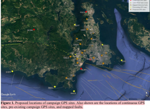
Table 1. Locations of existing and proposed GPS campaign sites available by contacting the research proponenet

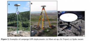
For a continuous period of 2-4 days at each site (maximum of once per year), a 1.7-m high mast with GPS antenna will be set up over an existing or new marker in the bedrock at each site, attached by cable to a receiver in a locked box on the ground. During deployment, the mast will be secured to the anchors using chains (Fig. 2a). At sites not conducive to the mast set-up, a tripod (Fig. 2b) or spike mount (Fig. 2c) will be used instead. New sites will be established by using epoxy to fix stainless steel marker pins into the bedrock. These will penetrate 6 inches into the rock, with a diameter of 0.5 inches, to lie flush with the ground surface. For mast sites, three stainless steel anchor bolts will also be bolted into the rock to a depth of ~2 inches, each attached to a 2-inch diameter stainless steel ring flush to the ground, at a distance of ~0.5 m from the central marker.
Approximate schedule for 2018 fieldwork:

The fieldwork will be carried out in August 2018, with each site being surveyed for 2-4 days. The proposed schedule is shown in Table 2 below, although actual dates may differ.

Table 2. Approximate schedule for fieldwork in August 2018 Approx. Dates Tasks

Aug 1 Aug 2 Aug 3 Aug 4 Aug 5 Aug 6 Aug 7 Aug 10

Aug 11 Aug 12 Aug 13 Aug 14 Aug 15 Aug 16 Aug 17 Aug 18

Team 1: Deploy PBHY, HIGH, SHER
Team 1: Deploy MLHT, TOLM, check others, babysit TOLM
Team 1: Stay at TOLM, check others
Team 1: Babysit TOLM, Demob PBHY, HIGH, TOLM (after 5 pm) Team 1: Demob MLHT, Deploy HAVN
Team 1: Check HAVN
Team 1: Demob HAVN after 5 pm
Team 1: Paperwork; deploy BEAR, STEW
Team 2: Deploy BBEC, DEVO, MILL
Team 1: Deploy OAKH, DOUG, check BEAR, STEW, babysit DOUG Team 2: Deploy PEDD, check BBEC,DEVO, MILL
Team 1: Babysit DOUG, check STEW, OAKH, BEAR
Team 2: Check DEVO, PEDD, BBEC, MILL
Team 1: Demob STEW, BEAR, Babysit DOUG then demob after 5 pm Team 2: Demob BBEC, DEVO, MILL
Team 1: Demob OAKH, Deploy THET, DISC (by boat)
Team 2: Demob PEDD, deploy LONE, CAMO
Team 1: Deploy WELS, MOSS, SUMM
Team 2: Deploy OBSV, check LONE, CAMO
Team 1: Check WELS, THET, MOSS, SUMM
Team 2: Check LONE, CAMO, OBSV
Team 1: Demob DISC (boat), THET
Team 2: Demob LONE, CAMO
Team 1/2: Demobilize WELS, MOSS, SUMM, OBSV

4

Plans for on-site security, site control and general safety?

The deployment of passive GPS equipment poses little risk to the public. Flagging will be placed on the equipment to mitigate any potential tripping hazards. Signs will be posted at all sites, with the following text (correct dates to be inserted): “Surveying for earthquake hazard study in progress from August 3-6 – please do not disturb. For more information, please contact Lucinda Leonard, School of Earth and Ocean Sciences, University of Victoria: 778-676-9621 or lleonard@uvic.ca”. At locations that are popular with the public, sites will be manned during daylight hours. Sites that see less pedestrian traffic will be visited 1-2 times per day during the deployment.

Data processing and analysis:

Geodetic data will be processed using standard routines to determine precise daily average locations for each site. Positional time series will be analyzed to provide site motions (direction and rate of motion) in a North America reference frame. Analysis of relative motion between sites will enable determination of strain across fault zones and improve seismic hazard assessment for southern Vancouver Island.

References:

Barrie, V., and H. G. Greene (2018), The Devils Mountain Fault zone: an active Cascadia upper plate zone of deformation, Pacific Northwest of North America, Sedimentary Geology, v. 364, p. 228-241, doi: 10.1016/j.sedgeo.2017.12.018.

Henton, J.A. (2000), GPS studies of crustal deformation in the northern Cascadia subduction zone. Ph.D. thesis, Univ. Victoria, Victoria B.C., Canada, 169p.

Marechal, A., S. Mazzotti, J.L. Elliott, J.T. Freymueller, and M. Schmidt (2015), Indentor-corner tectonics in the Yakutat-St. Elias collision constrained by GPS, Journal of Geophysical Research, v. 120, p. 3897-3908, doi: 10.1002/2014JB011842.

Mazzotti, S., H. Dragert, J. Henton, M. Schmidt, R. Hyndman, T. James, Y. Lu, and M. Craymer (2003), Current tectonics of northern Cascadia from a decade of GPS measurements. J. Geophys. Res. 108(B12):2554.

Morell, K. D., C. Regalla, L. J. Leonard, C. Amos, and V. Levson (2017), Quaternary rupture of a crustal fault beneath Victoria, British Columbia, Canada, GSA Today, v. 27, no. 3.

VC Structural Dynamics Ltd. (2016), Citywide seismic vulnerability assessment of the City of Victoria, Report prepared for the corporation of the City of Victoria, Victoria, BC, Canada, 43p, available online at: http://www.victoria.ca/assets/Departments/Emergency~Preparedness/Documents/Citywide- Seismic-Vulnerabilities-Assessment.pdf

See the follow-up  when the instrument was removed on the May 15 log

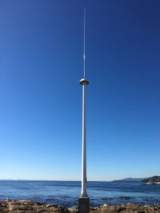
CODAR installation for Race Rocks

Juan de Fuca _CODAR_backgrounder

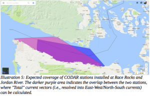
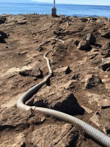
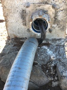
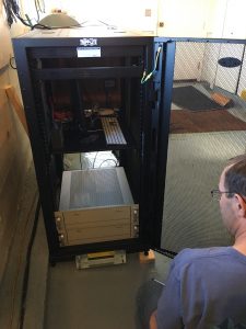
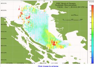
Today Guy drove me out to Race Rocks with Kevin Bartlett, Marine Equipment, Specialist with Ocean Networks Canada. They had installed equipment earlier in the year but had ro change the frequency of broadcasting before it is operational. Kevin was making repairs, one being fixing the conduit at the base of the tower which had been disturbed by sealions. When this equipment is fully operational it will give acurate current vectors for the eastern entrance of the Strait of Juan de Fuca.


Sample from a similar station now  in operation:

 see animation here


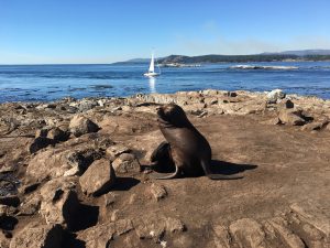
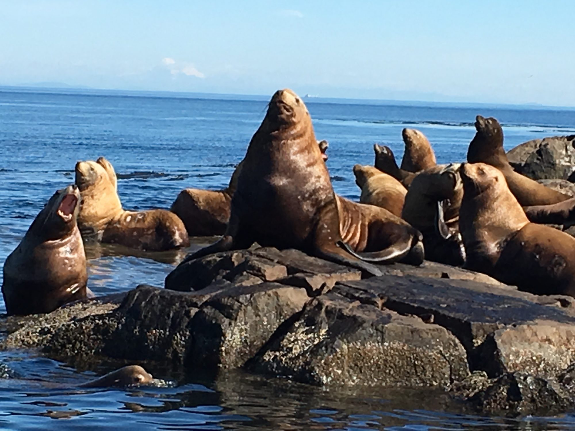
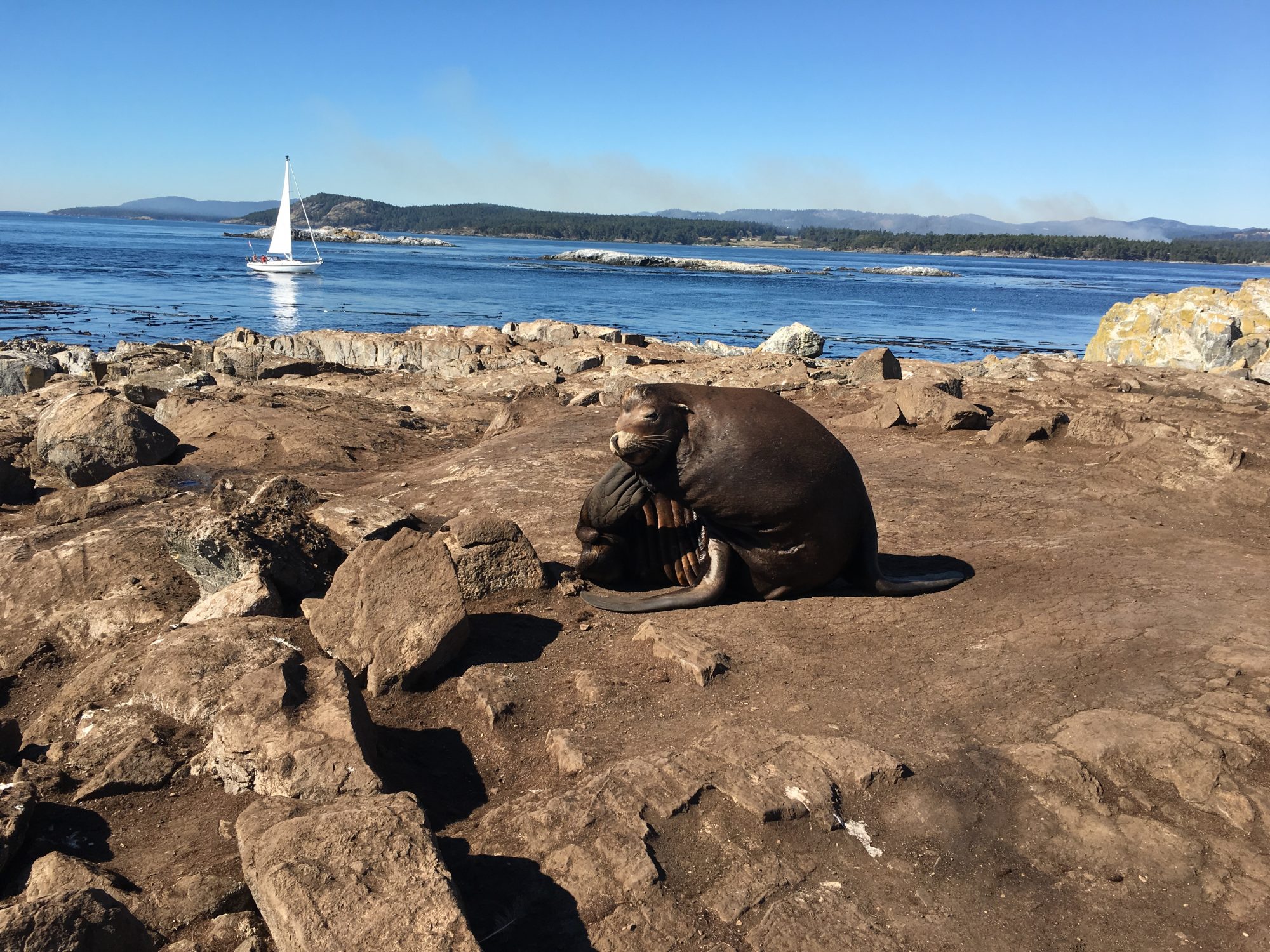
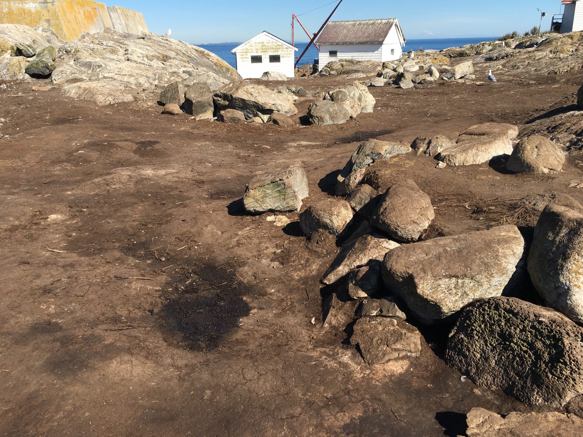
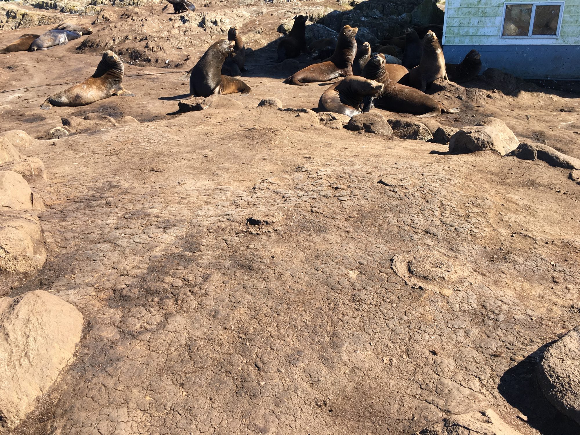
It was has been noticeable this year that instead of hauling out on the neighbouring islets of the Race Rocks Archipelago, the sealions are hauled out entirely on the main island of Great Race Rock. They have heavily impacted the vegetated areas .

Dr. Anita Brinkmann-Voss…. In Memoriam

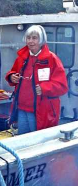
Dr. Anita Brinckmann-Voss passed away on December 12 at her home in Sooke BC. Anita had been a long time friend of Lester B. Pearson College. From 1986, to 2005,  Dr. Anita Brinckmann-Voss  BC assisted the students and faculty of Lester Pearson College with her understanding of marine invertebrate ecology and her expertise in the taxonomy of hydroids and other invertebrates. Anita was one of the very few remaining taxonomists in the world who worked at such depth with this group of organisms.  She assisted many students with their work in biology and marine science and worked closely with several divers at the college who collected specimens for her.  Anita also was a regular donor to the Race Rocks program at the college.

Dr. Dale Calder, a colleague of Anita who works with the Royal Ontario Museum wrote the following about Anita:

“I knew of Dr. Anita Brinckmann-Voss and her research on hydrozoans from my days as a graduate student in Virginia during the 1960s. Her work at the famous Stazione Zoologica in Naples, Italy, was already widely known and respected.
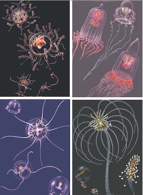
Most noteworthy, however, was a landmark publication to come: her monumental monograph on hydrozoans of the Gulf of Naples, published in 1970. It highlighted studies on hydrozoan life cycles and was accompanied by the most beautiful illustrations of these marine animals that have ever been created. See the complete copy with color plates here:  Brinckmann70:


It was not until 1974, and the Third International Conference on Coelenterate Biology in Victoria, British Columbia (BC), Canada, that I met her for the first time. We discovered having common scientific interests and saw absolutely eye-to-eye on most issues. It was the beginning of a scientific collaboration and friendship that would last a lifetime. I always greatly valued her scientific insights, but I also appreciated her humility, good nature, and keen sense of humour.

In having moved from Europe to Canada, first to Winnipeg, Manitoba, and later to Toronto, Ontario, Anita’s research shifted from Mediterranean species to those of Canadian waters and especially British Columbia. Her professional base became the Royal Ontario Museum and the University of Toronto, but it was far from the ocean. She soon acquired a residence in Sooke, BC, conveniently located on the beautiful Pacific coast. Life cycle research was now possible on Canadian species, and at times several hundred cultures of hydrozoans were being maintained by her. One final move was made, from Ontario to permanent residence at her cottage in Sooke. From there she kept marine research underway the rest of her life. A focus became Race Rocks and the rich hydrozoan fauna inhabiting the site.

Anita altered the direction of my career in a most positive way. It was largely thanks to her that I moved from employment as a benthic ecologist in South Carolina to a curatorial position at the Royal Ontario Museum in 1981. It was the best career move of my life. Thank you, Anita!

Over the decades we collaborated in research, shared our libraries, and jointly authored several scientific papers. Outside a professional association, we were close friends. My wife and I often visited Anita at her homes, first in Pickering, Ontario, near Toronto, and later in Sooke. In return, she often visited us in Toronto after moving west. It is an understatement to say she will be sorely missed.”
-(Quote from Dr. Dale Calder, ROM, 2018)

Links to her work with the college:
https://www.racerocks.ca/dr-anita-brinckmann-voss/

Other references: https://www.racerocks.ca/tag/anita-brinckmann-voss/


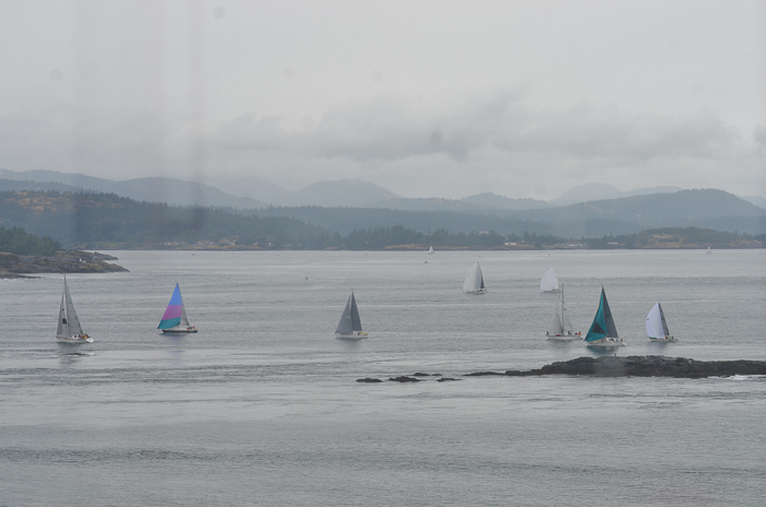
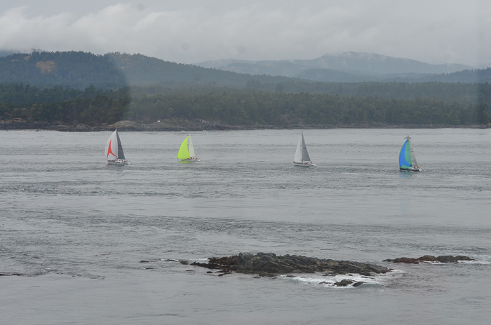
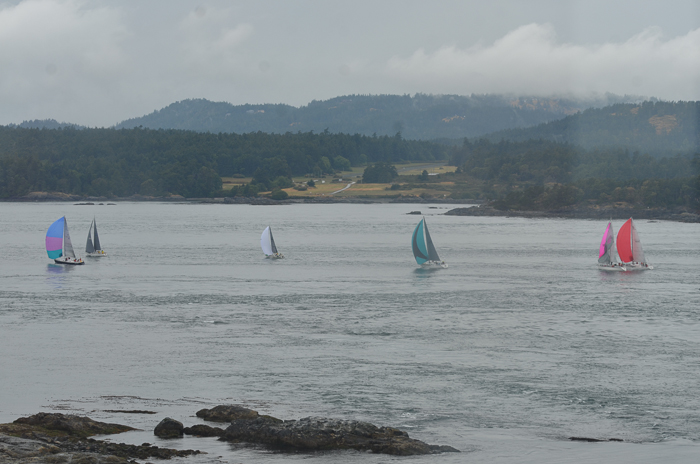
The Grand Sailboat Regatta

Weather

  • Visibility: 8 miles in the early morning, 15 later on
  • Wind: 15-20 knots East, then North, then West
  • Sky: foggy and overcast, then sunny, then overcast
  • Scattered raindrops throughout the day
  • Water: mostly calm, with swells in the afternoon

DSC_6437

Ecological

  • Maya and Tazi conducted 4 intertidal transects today.
  • Studying an intertidal transect involves measuring out a certain distance from a peg, and then documenting the different species found every 0.5 metre.
  • In some transects the 0.5 metres are measured by water elevation; in others simply by distance.
  • By comparing the species found in every zone of the transect with transect data from previous decades, you can see the change in intertidal ecosystems due to climate change.
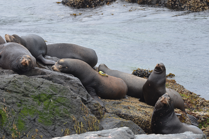
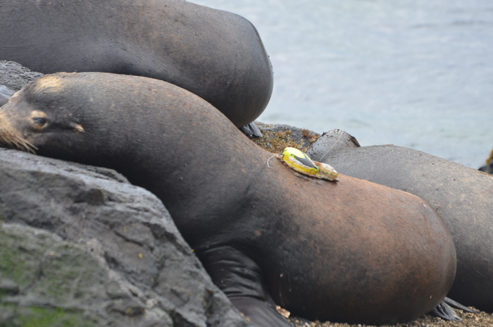
  • We saw a California Sea Lion with the brand U374 and another with a tracker.
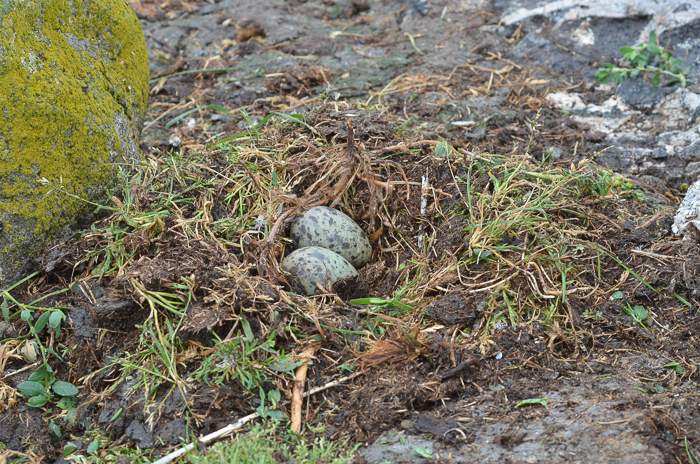
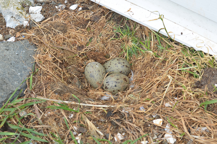
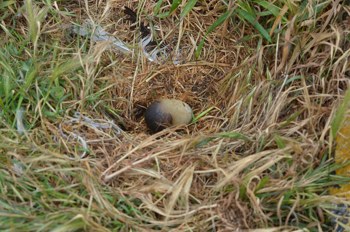
  • While most of the gull eggs all look the same, one particular egg is quite different.

Maintenance

  • Maya and I ran the fire pump in the morning.
  • This added a few inches to the cistern.
  • We removed the old Canadian flag and hoisted a fresh one.
  • Tazi and I removed some algae.
  • Ali whacked away at the thistles.
  • We cleaned the solar panels.

Boats

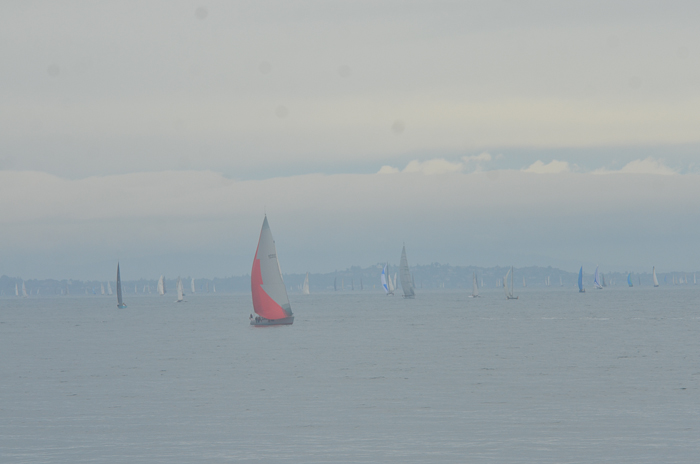
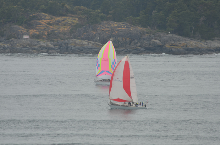
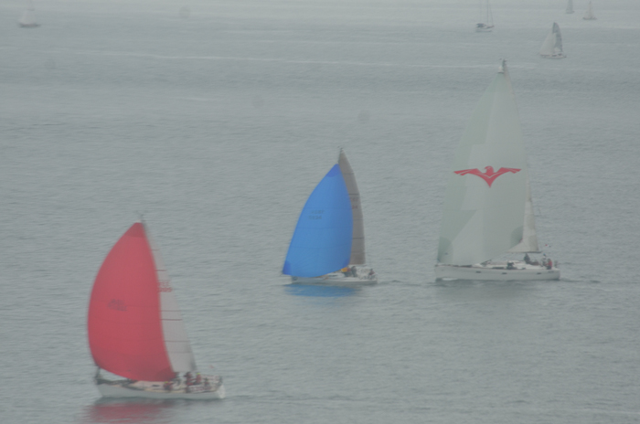
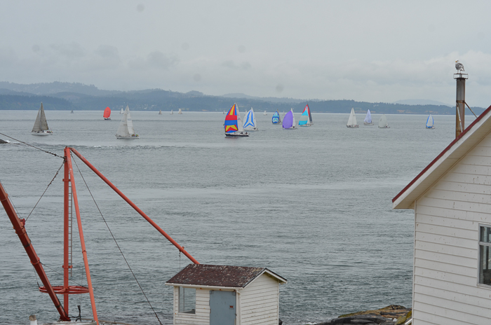
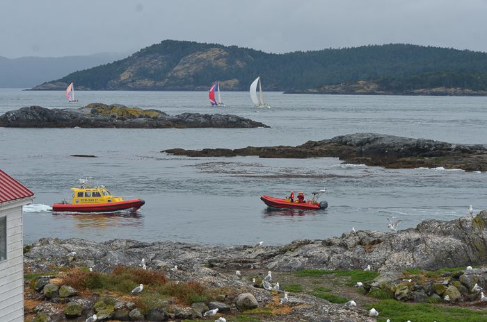
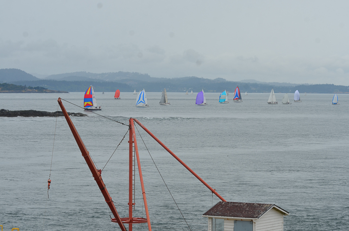
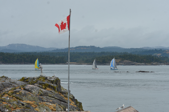
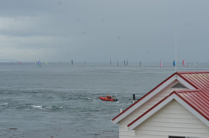
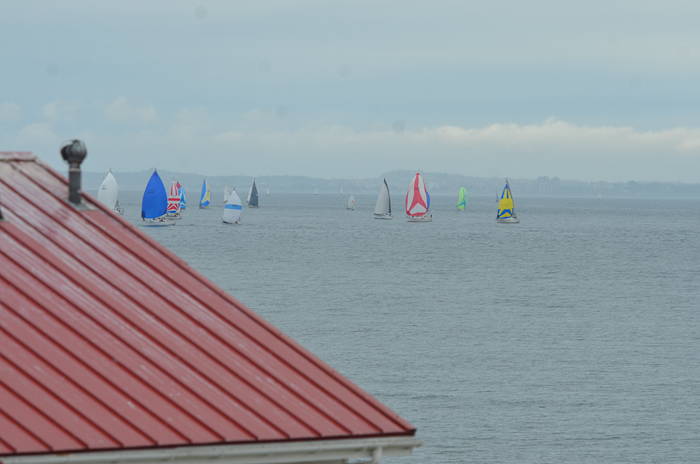
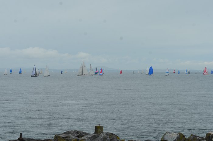
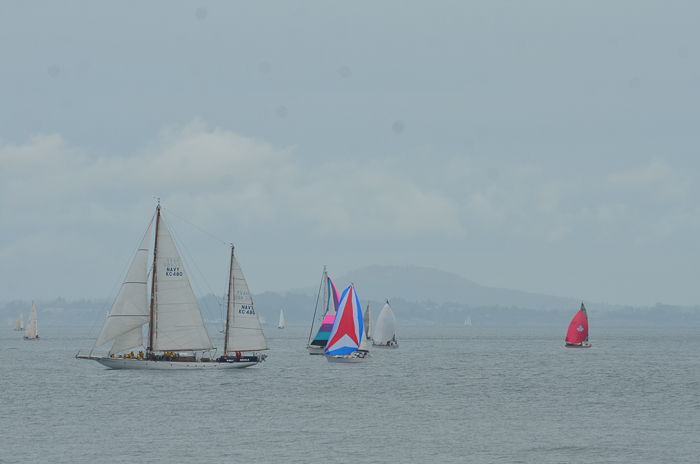
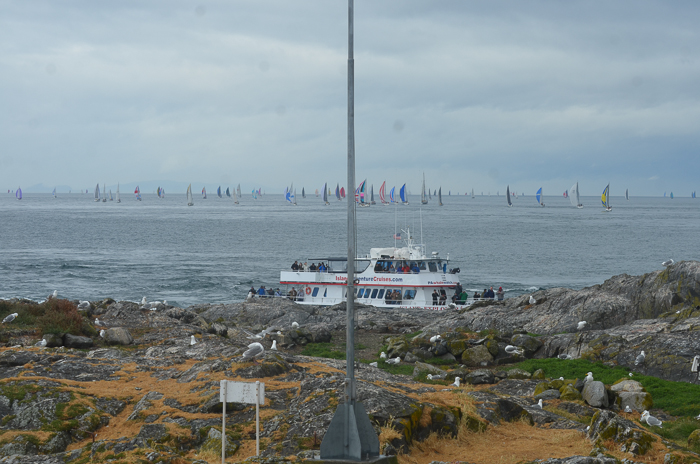
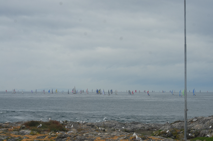
  • Over 150 sailboats from Victoria passed by Race Rocks in the late morning on their way towards the Western horizon.
  • Some of them started to return as late as 22:30.
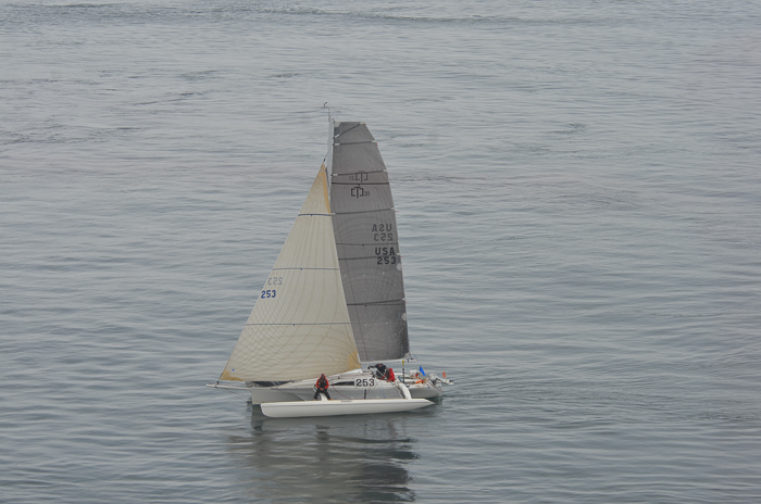
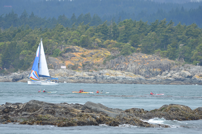
  • The colours of their sales included: red, blue, white, fluorescent yellow, green, purple, black, orange, and many combinations of all of the above.
  • Some standouts included the Miles Davis sail and the Union Jack.
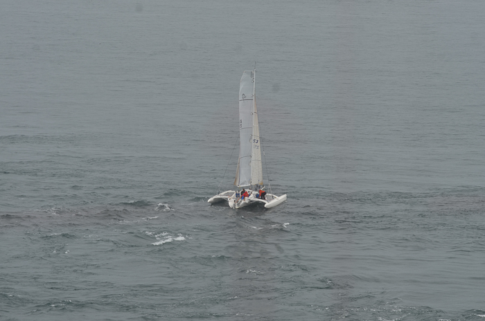
  • I couldn’t stop taking photos and ended up with dozens. Below is a selection of the best.
  • One coastguard zodiac and a search and rescue boat appeared to be accompanying the sailboats.
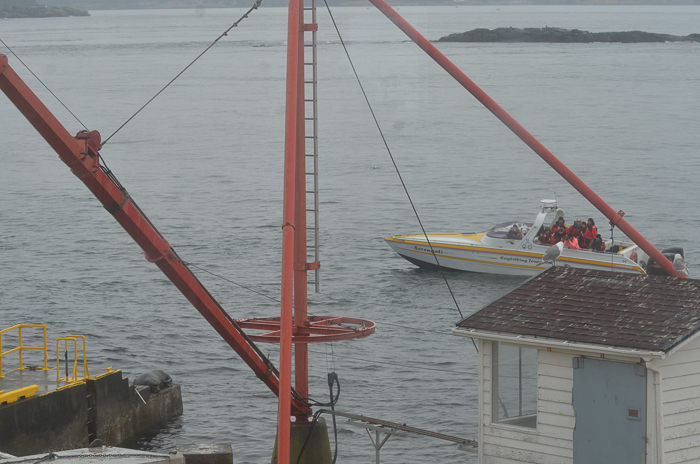
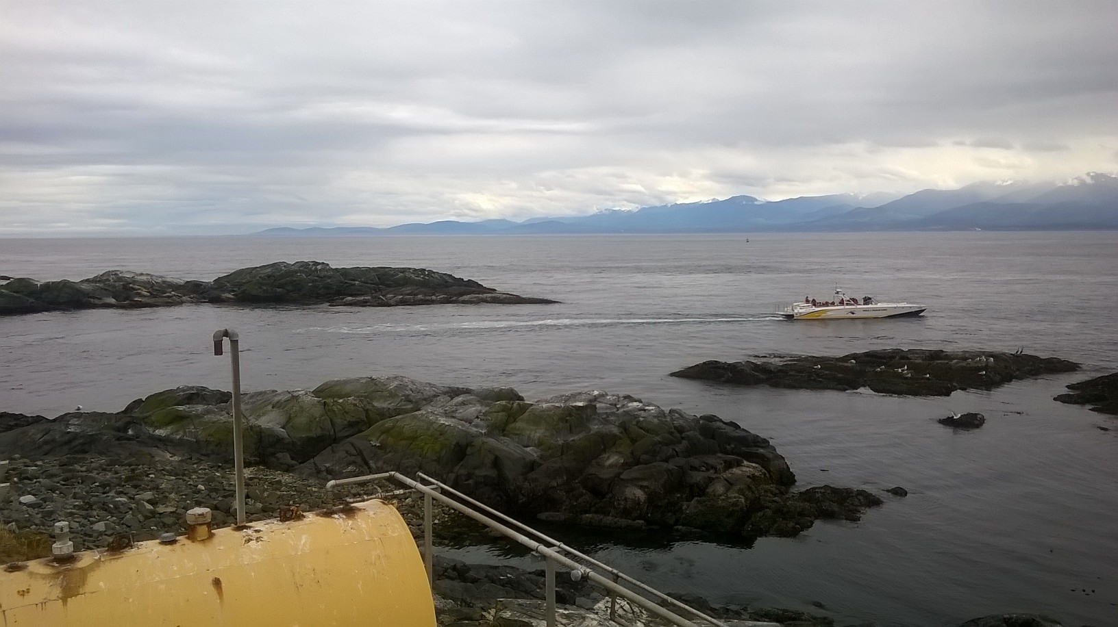
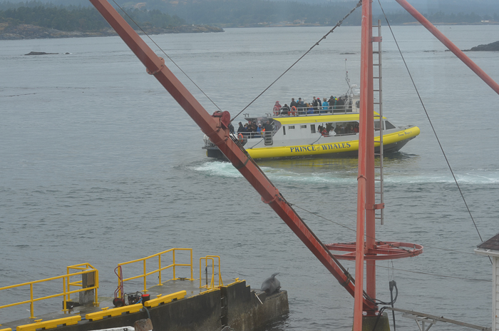
  • Several eco-tours came by, including one Eagle Wings tour that drove through the South Channel.
  • Passing through the South Channel is prohibited as the width is too narrow.

2009-2014 Whale Observations from Race Rocks

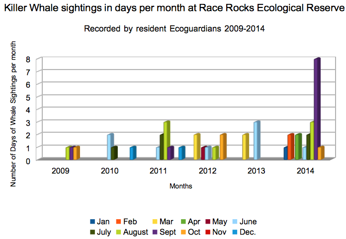
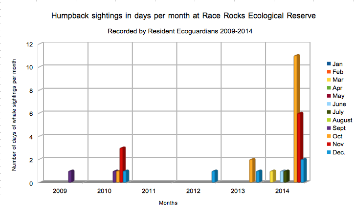
Lester Pearson College has employed the Ecoguardians at Race Rocks Ecological Reserve since 1997. One of the benefits of this is in having observers on site 24 hours on this archipelago in the Strait of Juan de Fuca. A great amount of citizen science is achieved as they record in their logs the events such as whale sightings of the area.

In the past year I have been working as an intervenor for the Board of Friends of Ecological Reserves to try to question and advise  the National Energy Board and the Kinder Morgan Corporation on the problems of increasing the traffic of oil tankers from the Westridge terminal through the Strait of Juan de Fuca. The area of potential impact from chronic and catastrophic oil spills puts at risk the ecological integrity of  up to 17 of our Marine Ecological Reserves around southern Vancouver Island. In our submission I was able to draw upon the records from the Race Rocks Ecoguardian’s logs to demonstrate the increase in the incidence of whales in this area. A recent report of the Department of Fisheries (Sufficiency Review of the Information on Effects  of Underwater Noise and  the Potential for Ship Strikes from Marine Shipping on Marine Mammals  in the Facilities Application for the Trans Mountain Expansion Project )has criticized the Environmental assessment done by Trans Mountain as being ineffective to take account of the increasing potential of Impact on the large whales such as humpbacks and the underwater noise which will masking of the ability of whales to communicate and get food.

I put together the following graphs to show the increase in the number of days per month that whales were observed from Race Rocks:

orcasighting
humpbacksighting

Thanks to Ryan, Raisa, Adam, Alex, Virginie, Julie, Courtney, Nick, and Anne for contributing to this database.

Addendum :  see the April 27 post on the report issued today ” Quantitative Assessment of Increased Potential for Marine Mammal-Vessel Interactions from the Trans Mountain Expansion Project TRANS MOUNTAIN PIPELINE ULC TRANS MOUNTAIN EXPANSION PROJECT –Prepared by: Stantec Consulting Ltd. 500 – 4730 Kingsway Burnaby, BC, V5H 0C6 Ph.: (604) 436-3014,

Garry Fletcher, Race Rocks Ecological Reserve Warden.


Last Blast of Summer

Tomorrow is the equinox and it was a glorious last day of summer today on Race Rocks. In the morning, outflow northeasterly winds soon gave way to westerlies, which gained momentum creating whitecaps and active seas in the afternoon. Both yesterday and today there was also an ocean swell, indicating a storm out at sea. Some of the surges created large, standing waves in the tidal flows. The barometer continued slide today and a change is on the way with showers forecast to start by tomorrow evening.

There were only a few whale-watching boats today, four observed in total. The Ogden Point Dive Centre’s charter boat ran a dive right off the jetty today. A few recreational boats stopped to watch the sea lions and three were speeding in the reserve, as they came into and left the area. A Pedder Bay, Oak Bay Marine Group rental boat didn’t bother to slow at all and sped through the area packed with sea lions.

After picking up calipers at the floating lab, I was able to almost complete meristic data collection for the Glaucous-wing Gull mortality study. Measurements were made of over 50 gulls in order to determine the age range and location at death. It has been so dry for so long, that the birds were basically mummified, not nearly as gross as standing up-wind of the living sea lions.

Several opportunistic brand photos were taken today and census photos were taken to validate against the more traditional census technique.

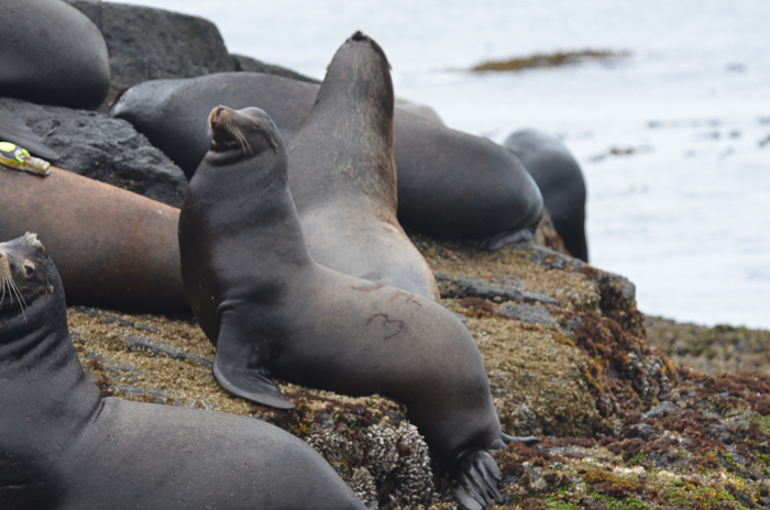
Sometimes the brands are easier to read with binoculars than in the photo. This one is 1032.

Sometimes the brands are easier to read with binoculars than in the photo. This one is 1032.

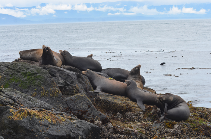
It seems that more Steller’s Sea Lions, Thayer’s Gulls and Double-crested Cormorants are arriving daily As you can see from this photograph of one the main California Sea Lion sleeping areas they are packed in tightly and not strictly segregated by species.

Sea lions pack into sleeping areas. This big Steller's Sea Lion caused a ruckus by walking over the Californians.

Sea lions pack into sleeping areas. This big Steller’s Sea Lion caused a ruckus by walking over the Californians.

The more mundane tasks of washing the solar panels, building up the compost, washing windows and mending the fences were done in the morning and it was actually hot, hmmm, just like summer. The seawater data was collected in the afternoon as the sunshine powered the solar panels which in turn powered the desalinator to make fresh water out of salt water. As the sun set south of Cape Flattery now, the classic Lister generator topped up the batteries for the overnight period.

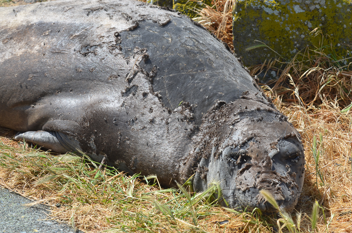
Tagging the Elephant Seal Pup

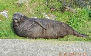
A week ago we asked Paul Cotrell, the Pacific Marine Mammal Coordinator of Fisheries and Oceans Canada to assist us in starting a program of annual elephant seal pup tagging by tagging this years elephant seal pup born on January 14.

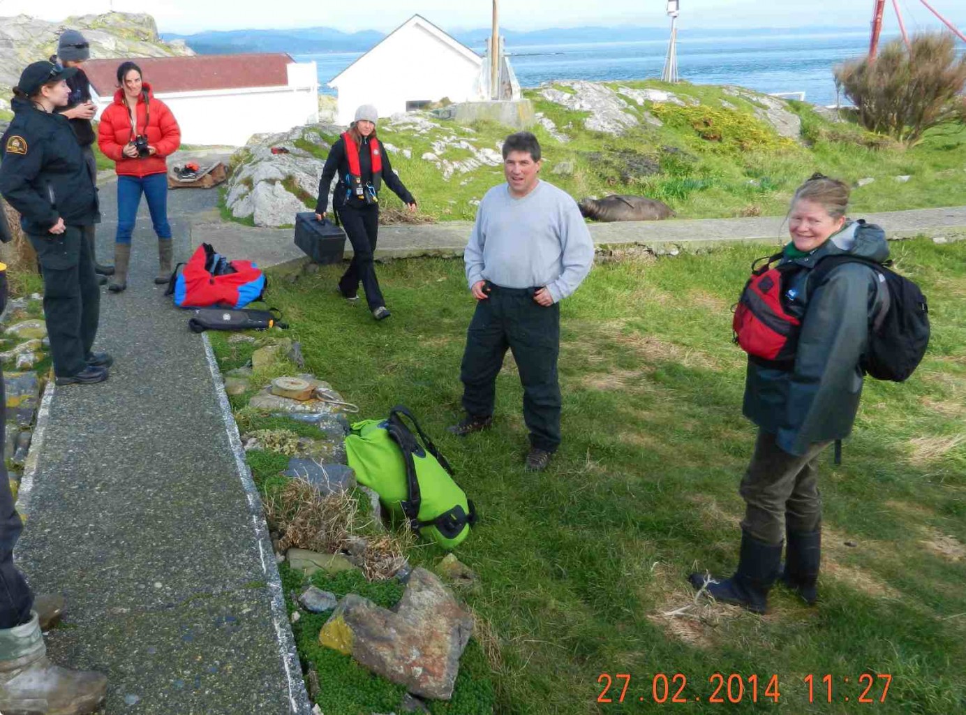
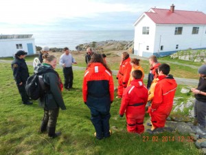
2014-02-27 tagcrewThis morning  Erik  Schauff drove the college boat Second Nature out to the Ecological Reserve to transport Paul Cotrell, Sheena Majewski from PBS in  Nanaimo and Mya Cormie from the Victoria DFO office.  Also on board were biology faculty member Ann Stewart, as well as Barry Herring and myself


We joined Alex Fletcher and Virginie Lavalie , Ecoguardians at the ecological reserve in helping with the tagging process. We had planned to do this earlier in the week but the East winds were still blowing. As it was we hit a perfectly calm day today.

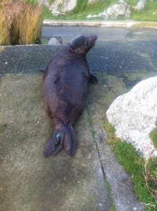
pupbefore

The pup was on the grass by the weather instrument and was somewhat bigger than we had estimated, probably 250-300 pounds.


2014-02-27 paulholddown

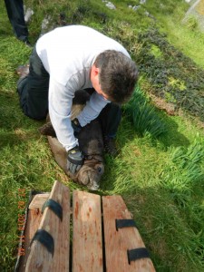
Our first attempts to get it on a weighing platform failed as the pup was just too large and difficult to control. Paul decided in order to avoid any further stress, to just do the tagging. Alex held the rear flippers and Sheena used a tagging tool to insert the tags into the webbing of each of the rear flippers.


2014-02-28pupF057-F076

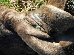
Tag on rear flipper of elephant seal pup

A set of turquoise tags numbered F075 and F076, with numbers facing outside were added to the each of the rear flippers. The colour of the tags is important because each research program using tagging has to use unique identifiable colours and numbers.


The first elephant seal to be born on Great Race Rocks in 2009, was tagged with red tags by NOAA scientists when it came ashore in Port Angeles.

pauland group

Paul Cotrell telling Pearson College students about the hazards of marine mammal tagging.


2014-02-28 pupF076

Pup moving around the following day

A group of Anne’s students came out from Pearson College to observe the newly tagged pup, it being the first one tagged in Canada.


Initially after tagging, the pup moved off about 6 metres and settled down in a grassy area.

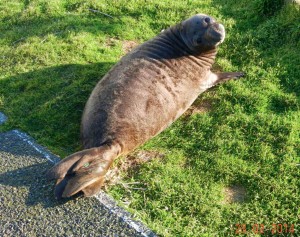
pupF076-F076

Pup settled down on the lawn the next morning.


The next morning, the pup had returned to the same spot where he had been tagged. He moved around a short distance during the day.

Pam Birley from England also took some pictures of the process using camera and has posted these on her Flickr site


Views from Race Rocks

On  March   Barry Herring, spent a day with us out on Race Rocks recording some of the views.  Included here is some of his work. Barry is a photographer from Victoria, BC.

barryspanno

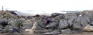
Click on this image for a panorama view of the south side of great Race Rocks island. On the left are the solar panels and foghorn operated by the Canadian Coast Guard for the lighthouse. On the left is the energy centre operated by Lester Pearson College . Note solar panels on the roof. This is the centre for the integrated Energy Project which provides energy for the other buildings and the camera servers on Race Rocks


barrypanowest

A panorama of the southwest coast.

IMG_4460

The remote-control camera 5 and a view to the west.

We happened to be there on a very calm evening with a great sunset:

barryshousesunset

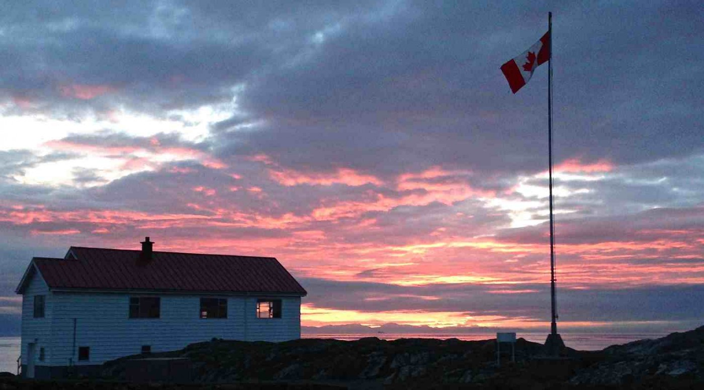
The former Assistant lightkeeprers residence of the Lightstation is now the science house at Race Rocks. The building can house visiting students and researchers who arrive at Race Rocks.


The Tidal Current Turbine Energy Project in the Race Rocks Ecological Reserve

PT-13: Coastal and Ocean Engineering ENGI.8751 Undergraduate Student Forum Faculty of Engineering and Applied Science, Memorial University, St. John’s, NL, Canada MARCH, 2013 Paper Code. (PT-13 – Brown)

PT-13 Brown P.1

The Tidal Current Turbine Energy Project in the Race Rocks Ecological Reserve

Erika Lee Brown

Memorial University of Newfoundland

St. John’s, Newfoundland, Canada

ELBrown@mun.ca

ABSTRACT

There is a predicted potential of 42 000MW stored in tidal energy off the coast of Canada which remains widely untapped by the energy industries.[1] Although there has been significant research and development done in the tidal energy sector, it has been a challenge to develop a cost efficient system which has a minimal environmental impact.

In 2006, the first tidal current generator to be built and installed in Canada was deployed north of the Middle Islands in the center of the Race Rocks Ecological Reserve off the coast of British Columbia. The current generator prototype was part of a six year joint research venture between Clean Current and the Race Rock project. The project aided to power Race Rocks using a combination of alternative energy technology to minimize the environmental impact of the facilities in the reserve while providing bases for testing of structural materials of the generator.

After numerous interruptions in power supply were experienced due to mechanical and electrical problems, the final phase of the project was completed in September 2011. The generator was retrieved from the seabed and transported to Vancouver for structural analysis.

The following paper will discuss the parameters of the study, as well as the challenges and problems encountered with the deployment, maintenance and retrieval of the tidal current system. A brief investigation of the outlook of tidal current generator systems as a means of power generation within Canada will also be completed.

1 INTRODUCTION

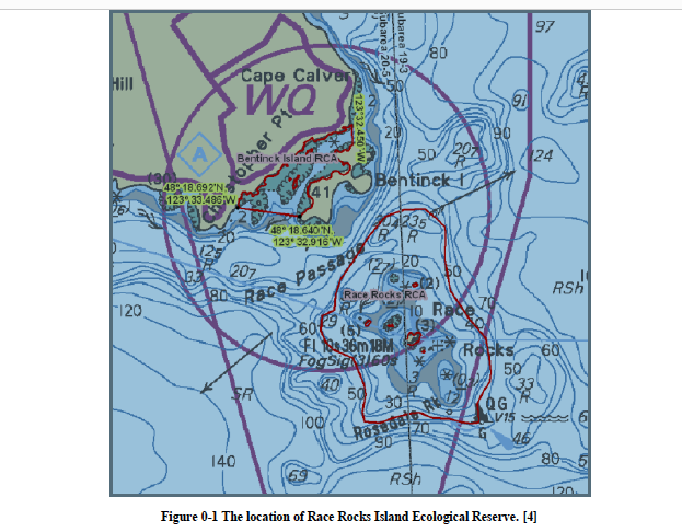
The Race Rocks located at 123° 31’ 85W latitude and 48° 17’ 95N longitude in the Juan de Fuca Strait off the coast of Vancouver Island, British Columbia is an ecologically diverse marine area. In 2001, Race Rocks was granted Ecological Reserve Status in British Columbia, Canada as Race Rocks Ecological Reserve. The reserve encompasses the main island of Great Race, as well as eight smaller islands, the water column and the seabed out to a depth of 36.6 m. [2] The designation of reserve status was created in the mid 1970s in the province in order to preserve a unique or representative ecosystem so that they may serve for research, education and a baseline for monitoring ecological change due to human encroachment. [3]

The islands within the Race Rocks Reserve do not have any permanent resides, however there are research and accommodation facilities present as the area is frequently inhabited on a temporary bases by various researchers and professors and students from Lester B. Pearson College. These facilities were electrically supplied by 15 and 25 kilowatt diesel generators.[5]

While the area is unique due to its ecological diversity, Race Rocks is also known for the high currents present for which it was named. It is because of these high currents and the need to assist mariners with the navigation hazards that the lighthouse was establish on Great Rock in 1860. Although the lighthouse is located within the Ecological Reserve, the surrounding land is under the jurisdiction of the Canadian Coast Guard. [2] Due to maintenance costs, the Coast Guard switched powering of the lighthouse to solar energy. It was this transition to self-sufficient, low environmental impacting energy, which lead the wardens of the Race Rock Ecological Reserve to investigate similar alternative forms of energy.

2 OPPORTUNITIES

Energy BC predicts that there is 42 000MW of stored tidal energy off the coasts of Canada, with approximately 7 000MW located in accessible regions along the east and west coasts which remain widely untapped. [1] The renewable energy industry is growing, with a strong research and development sector. In Canada, the majority of the research and implementation of tidal energy has been developed in barge type systems. This type of system has raised environmental concerns as they affect the natural tidal flow, as well as have notable negative impact on the marine environment.

An alternative method of extracting energy from the tides is through the use of tidal current turbines. These systems aim to utilize the natural tidal flow to turn the blades of a turbine, hence generating power. Initial research into harnessing tidal current energy revealed promising decreases in environmental impact to turbine sites and marine organisms. Prior to this case study, the design, construction, and deployment of a tidal current generator had not taken place in Canada. The strong research and tidal conditions indicative of the Race Rocks Reserve made it an ideal test site of the performance and marine impact of the new turbine design.

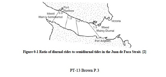
The bathometry and geometry of the Juan de Fuca Strait attest to the flow profile and characteristics that have been observed. The strait experiences a mixture of semi-diurnal and diurnal tides, shown in Figure 0-1, which causing upwelling of vital nutrients adding to the creation of the diverse ecosystem of the area.

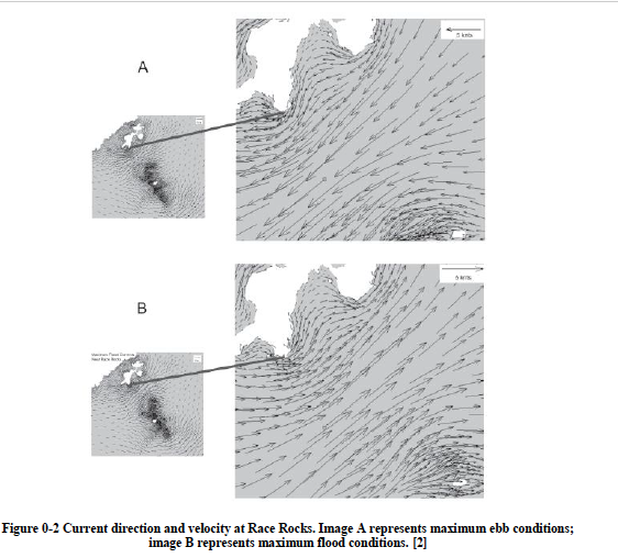
As mentioned previously, Race Rocks has been historically identified as an area with high velocity tidal currents. Figure 0-2 below, from Fisheries and Oceans Canada, shows that the current can reach up to six knots through the Juan de Fuca Strait and are at their strongest at Race Rocks due to the narrowing of the channel.


As mentioned previously, Race Rocks has been historically identified as an area with high velocity tidal currents. Figure 0-2 below, from Fisheries and Oceans Canada, shows that the current can reach up to six knots through the Juan de Fuca Strait and are at their strongest at Race Rocks due to the narrowing of the channel.

Figure 0-2 Current direction and velocity at Race Rocks. Image A represents maximum ebb conditions; image B represents maximum flood conditions. [2]

3 PROJECT DESCRIPTION

The catalyst for the project was the desire of the reserve warden to have the island facilities operating in a sustainable manner using renewable energy. Prior to the commencement of the project, the island energy needs were provided by two diesel electric generators. Due to the future projected costs of the generators along with the negative effect on the marine environment as a result of the refueling and vibrations, the Integrated Energy Project was begun in Race Rocks in 1998.

1998. PT-13 Brown P.5

The desire of using sustainable energy and the unique tidal characteristics of Race Rocks made the site a very suitable location for harnessing tidal energy. Through the collaboration of Lester B. Pearson College with the Clean Current Energy Company, the Race Rocks Tidal Current Turbine Project was conceived. Pearson College benefited from the partnership by having an active educational and research opportunity and by receiving ongoing technical and monetary support from Clean Current throughout the project.

The objectives of the project partners were to:

 provide sustainable energy to Race Rocks replacing the diesel generators,

 contribute to the educational experience of Person College students

 monitor the impact of the tidal turbine on the surrounding ecosystems,

 test the seaworthiness of the turbine,

 demonstrate the maintenance process for tidal current generators,

 perfect the turbine structure, and

 maximize turbine operation.

Clean Current Energy Company had developed a concept for the first tidal current turbine prototype to be designed and built in Canada. It was determined that the Race Rocks site would be an ideal location for testing the impact, functionality and structural integrity of the prototype.

3.1 Prototype

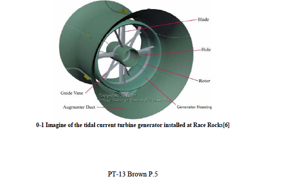
The tidal current turbine installed was a 1:5 scale prototype of the Clean Current Energy Company concept design. Due to the change in tidal current, the system was built to function bi-directionally. The turbine had a projected capacity of 65kW and a 3.5m blade diameter. [6]

3.2 Project Timeline

Throughout the first half of 2006, the site was prepared for the tidal current energy system on Race Rocks. The boathouse on Great Race was converted into an energy storage facility with the installation of batteries and various types of electronic equipment. After a turbine site had been confirmed, the site was dredged, drilled and piles were installed. Four cables to transmit the produced energy from the turbine to the batteries were laid along the seafloor from the turbine site to the boathouse. Concrete blocks were placed alongside the underwater cable to protect them from winter storm surges and a trench was dug to accommodate the cables on land. [7] On September 27, 2006, the turbine was installed in the middle islands in the center of the reserve with a 5m clearance from the water surface.

After disappointing performance results from the turbine, it was retrieved and underwent a refit. The turbine was upgraded to include stainless steel bearings, a new lubrication and electrical wire protection system, a new reinforced fiberglass augmenter duct, and reinforced struts. Along with these new additions, the turbine blade configuration was also modified.[8] Clean Current redeployed the revamped system October 17, 2008.

The portion of the trial to be performed at Race Rocks came to an end on September 17, 2011. The turbine was removed from the sea floor by Clean Current Staff and returned to Vancouver to undergo structural analyses.

4 PROJECT CHALLENGES

Throughout the life of the project, there were a number of challengers which the partners had to overcome.

 Installation of the turbine proved to be a challenge due to the high current velocities in the region. It was necessary to time the installation so that it could take place during slack tide and ensure that the majority of the installation took place before the tide turned. [8]

 The first operational problem encountered in the project was an unexpectedly rapid deterioration of the turbine bearings. This caused the system to be raised in April 2007 for them to be changed out.

 Throughout the life of the Race Rocks tidal project, there were a number of interruptions in energy production and transmission to the island. Problems were noted with the fiber optic cable manufacturing which lead to electrical leakage. [8]

 Although the estimated generator output was 65kW, the average every production was only 12.5 kW.[9] This led to the turbine being refit and redeployed in 2008.

5 FUTURE WORK

The involvement of Race Rock Ecological Reserve, and hence Lester B. Pearson College, ended when the turbine was extracted in 2011. At that point, the infrastructural and material component of the project was continued solely by Clean Current Energy Company.

The results of the structural analysis of the turbine infrastructure due to prolonged exposure to the ocean have yet to be released. Once a better understanding of the effects ocean environment can have on the materials used for the tidal current turbine is obtained, the design prototype will be adjusted to better suit the harsh environments for which tidal current extraction can be maximized.

It is the hope that the results of this project will enable other projects of its kind to be initiated along the Canadian coasts. The end goal is for the prototype to be brought to the final design phase, allowing for commercial tide current turbines to be installed and producing significant energy to the Canadian public.

6 CONCLUSION

The installation of Canada’s first tidal current turbine generator prototype designed by Clean Current Energy in the Race Rocks Ecological Reserve was a milestone in the Canadian renewable energy industry. The tidal current profile and marine ecological information within Race Rocks made it an ideal location to not only test the structural integrity of the turbine prototype but also its environmental impact on marine life.

Although the power supplied by the tidal current turbines to Great Race Island was inconsistent throughout the life of the project, it was a valuable asset to the Race Rock Ecological Reserve’s sustainable energy program. The energy provided by the generator was able to supply a base storage of electricity to the solar power batteries now in use on the island, therefore ensuring that the island be non-consumptive in its energy usage.

Not only did the program provide a foundation for the energy objectives of Race Rocks, but the data obtained from the turbine prototype will enable Clean Current to upgrade their design to better meet the industry needs. While the results of the structural analysis are still unknown, they will greatly contribute to the further research and development of the tidal energy industry.

REFERENCES [1]

E. BC, “Tidal,” Tidal, 2012. [Online]. Available: http://www.energybc.ca/profiles/tidal.html. [Accessed 19 January 2013].

[2]

C. Wright and J. Pringle, “Race Rocks Pilot Marine Protected Area: An Ecological Overview,” Fisheries and Oceans Canada, Sidney, British Columbia, 2001

[3]

Race Rocks Ecological Reserve, “Ecological History,” Lester B. Pearson College, [Online]. Available: http://www.racerocks.com/racerock/eco/ecohistory.htm. [Accessed 18 February 2013].

[4]

Fisheries and Oceans Canada, “Rockfish Conservation Areas – Pacific Region,” 17 November 2008. [Online]. Available: http://www.pac.dfo-mpo.gc.ca/fm-gp/maps-cartes/rca-acs/rca-acs/south-sud/BentinckRaceRocksChart3461-eng.htm. [Accessed 21 February 2013].

[5]

RaceRocks.com, “Renewable Energy for Race Rocks,” RaceRocks.com, [Online]. Available: http://www.racerocks.com/racerock/energy/tidalenergy/tidalenergy.htm. [Accessed 2 March 2013].

[6]

G. Bhuyan, G. Darou, C. Blondeau and M. Edmunds, “Integrated Tidal Current Demonstration Project at Race Rocks, British Columbia, Canada,” in European Commission Coordinated Action on Ocean Energy (CA-OE), Copenhagen, Denmark, April 26-27, 2007.

[7]

RaceRocks.com, “Cable Laying for the Tidal Current Turbine Project,” 2006. [Online]. Available: http://www.racerocks.com/racerock/energy/tidalenergy/cable/cablelay.htm. [Accessed 23 February 2013].

[8]

RaceRocks.com, “Tidal Energy Turbine: Redeployment October 17, 2008,” Race Rocks, 2008. [Online]. Available: http://www.racerocks.com/racerock/energy/tidalenergy/oct2008/redeploy.htm. [Accessed 23 February 2013].

[9]

C. Scheu and W. Zwart, “Race Rocks Tidal Turbine Generator,” 2 April 2009. [Online]. Available: https://racerocks.ca/racerock/research/connor/connor.htm. [Accessed 2 March 2013].

PT-13 Brown P.8

See the original PDF here: :tidalenergyreport

The Tidal Current Turbine Energy Project in the Race Rocks Ecological Reserve

Erika Lee Brown Memorial University of Newfoundland St. John’s, Newfoundland, Canada

ABSTRACT

the full PDF can be linked here:tidalenergyreport
There is a predicted potential of 42 000MW stored in tidal energy off the coast of Canada which remains widely untapped by the energy industries.[1] Although there has been significant research and development done in the tidal energy sector, it has been a challenge to develop a cost efficient system which has a minimal environmental impact.
In 2006, the first tidal current generator to be built and installed in Canada was deployed north of the Middle Islands in the center of the Race Rocks Ecological Reserve off the coast of British Columbia. The current generator prototype was part of a six year joint research venture between Clean Current and the Race Rock project. The project aided to power Race Rocks using a combination of alternative energy technology to minimize the environmental impact of the facilities in the reserve while providing bases for testing of structural materials of the generator.
After numerous interruptions in power supply were experienced due to mechanical and electrical problems, the final phase of the project was completed in September 2011. The generator was retrieved from the seabed and transported to Vancouver for structural analysis.
The following paper will discuss the parameters of the study, as well as the challenges and problems encountered with the deployment, maintenance and retrieval of the tidal current system. A brief investigation of the outlook of tidal current generator systems as a means of power generation within Canada will also be completed.


See the full PDF: http://journals.library.mun.ca/ojs/index.php/prototype/article/view/397/496