Adopt an Ecosystem


BACKGROUND: “Adopt an Ecosystem” involves using the internet as a means to get individuals and groups in other communities: provincial, state, national and international, involved in collaborating with others, and providing an educational resource while ensuring the stewardship of their own local ecological resources.

OUTLINE WITH POWER POINT PRESENTATION:
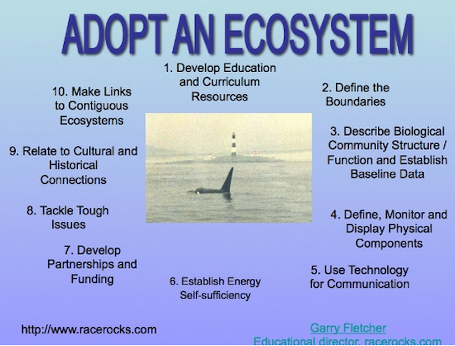
This 10 step outline presents the basic model of how to go about setting up an Adopt an Ecosystem Project in your school or organization.


THE PROCESS:
We are urging individuals, school groups and service groups in communities to establish internet files on a local natural area which they are able to document easily at a number of levels of scientific sophistication. This natural area may be a small corner of a school yard, a piece of coastline, a local stream or pond, or it could be an established ecological reserve or park. Valuable long-term baselines can be established with students of each year or individuals leaving a “digital legacy’ or a permanent on-line record which is available for other classes to make additions and updates in the future.
THE IMPORTANCE OF THE “PROCESS”

By involving individuals in the documentation and monitoring of their adopted ecosystem, a sense of “ownership” of one’s ecosystems and responsibility for their stewardship is experienced. In addition participants are encouraged to use technology to assist in the accumulation of valuable long-term ecological information which can serve as baselines for environmental impact decisions in the area, and as a valuable baseline on the area’s biodiversity.

OBJECTIVES: (The teacher and class may decide on setting their goals for this project, using only a limited number of the suggested activities.) After doing this assignment, students will be able to:

a) Design a plan and procedure for the creation of a local : “Adopted Ecosystem”

b) Use field methods involving quantification to document the chosen ecosystem with a baseline inventory.

c) Use a Spreadsheet program for the analysis and recording of locally collected data.

d) Set up a weather station for collection of weather data.

e) Construct a species list and/or taxonomy of the local organisms in the “Adopted Ecosystem”.

f. iNaturalist contributions Recently I opened an account on iNaturalist.com . I have been able to add many pictures of species taken around the Metchosin coast, as well as other locations. https://www.inaturalist.org/observations/garryf

It is a great idea to contribute to iNaturalist so by opening a free account on iNaturalist.com it  is a good way to do establish a baseline for organisms in your ecosystem and get professional assistance from experts for identification of species.  for instance for the biodiversity project the following entries are recorded by various individuals, https://www.inaturalist.org/projects/metchosin-biodiversity

f) Setup a website dedicated to the collection of resources relating to your locally adopted ecosystem.

g) Outline the Ecosystem Services and the value of the Natural Capital of your adopted Ecosystem.

PROCEDURE:. Identify the area and describe the ecological features that make the area unique, important or just representative of other surrounding ecosystems. Also indicate what your group intends to do with it.

2. You may indicate time lines for your goals, and even designate responsibilities to different group members in order to help you plan your strategy.

3. Establish a good “baseline inventory ” of what is there presently. Many ecological techniques are available to quantify organisms and their distribution. You may use our Transect Files as an example.

4. Establish a class project to provide a taxonomy of the species of your local ecosystem.

5. Include dated maps, databases, taxonomic inventories, checklists, photographs, videos or drawings to document your site. Open a project on iNaturalist.com  that enables you to enter photos of species and have experts help in making identifications

6. Begin monitoring the site for aspects of its structure and function. For structure: what living things are there, how they are distributed, what relationships or biotic associations exist. Also, the structure includes physical factors such as temperature, salinity, etc. –start gathering long term data, enter it into a database (such as excel), and save it to the internet site so that others can download and manipulate the data.

7.Download Google Earth and make a 3 dimensional image of the area with your ecosystem.

8. Search for historical and other recent maps or charts of your area. Include these as part of the information recorded.

9. If you have access to your own internet site, assemble the information on the site, let us know its location and we will provide a link to your site from racerocks.ca.

10. Establish a Project to list and value the Ecosystem Services and Natural Capital of your ecosystem. In recent years, we have started to acknowledge that “ecosystem services ” are something to which we must start paying attention as to fail to do so leads to a decline in quality of life:
This file explores that idea further and invites you to contribute to a new project : Defining the Ecosystem Services of Race Rocks. By looking at the model of such services developed for Race Rocks, you might also get an idea how you could choose a part of your own local ecosystem and do a similar analysis.

11. In the fall of 2005 we installed a Davis Weather Instrument at Race Rocks for real time monitoring of a number of meteorological events.

From this environmental data index page, you can see how we are developing pages for each environmental abiotic factor and interpreting how that factor is important in the ecosystems of Race Rocks. Many schools already have weather stations installed. Here are some examples from the Victoria area:

Send inquiries to: Garry Fletcher

Archived Video : Pearson College Diving Activity at Race Rocks

Underwater Webcasts by the Divers

David,Satoshi,Victor and others do the first Johan Ashuvud week at Race Rocks Testing of the underwater to surface DIVELINK communication system  Underwater Video at West Race Rocks.
Live underwater webcast to New York using underwater communication system
(Spring 2001)
Bluewater Diving- or tether diving, 2002. An initial test for the live webcasts in the June,2000 at Race Rocks.
Sea lions Visit Divers Video

The Underwater Environmental Data Sensor Bar.

kjkjkjkjk
In December 2000, the students and faculty of Pearson College install the first of the underwater environmental data sensors  Fouling -or succession– depends on how you look at it.

Underwater Work for the Tidal Energy Project

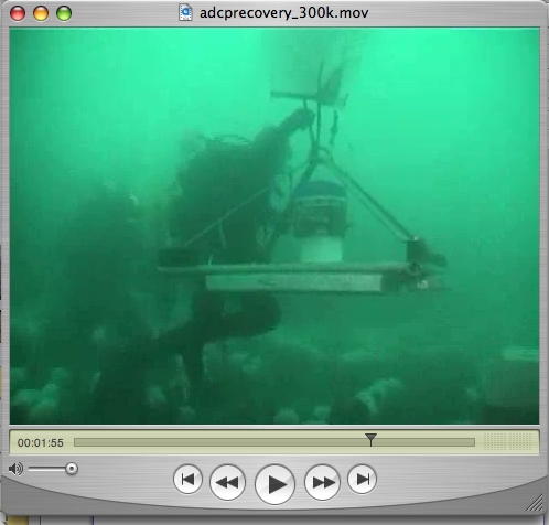
ADCP deployment for the Tidal Power Project Deployment and Retrieval of the ADCP from the Bottom of the Channel Succession Study of coatings and materials Chris Blondeau and Juan Carlos video the substrate at the site of the piling installation, and test the depth of the overburden.
turbsitehydroids
Turbine site hydroid survey by Chris Blondeau and Juan Carlos Yabar, 2006


Pam and Jason from Archipelago Marine do their underwater survey of the location of the Piling Drilling for the Current Energy Project. Video on the Pearson College, EnCana, Clean Current Tidal Power Demonstration Project at Race Rocks


In December of 2007,The Pearson College Divers installed a set of junction boxes as part of a materials testing experiment for the tidal energy project.

Archives: Videos of Science and Education at Race Rocks.

The students of Lester Pearson College are frequently taken to Race Rocks for educational field labs. Pearson College has, since automation in 1997, paid for the staffing and upkeep of the island. These videos portray some of the exercises that are done throughout the year on the island. The college biology and environmental systems classes, students on special projects, and outside researchers make extensive use of the facilities. In addition several videos portray the physical factors that help to make Race Rocks an unusual ecosystem.

Video by AZIZ, 2016


 Laura Verhegge’s first year environmental systems class doing their end of term exam at Race Rocks, May 2002.  A session with the biology class by the high tidepools at Race Rocks.  The Environmental Systems Field Exam, May 2000
 April, 2000: Environmental systems classes of LBPC  in  tidepool study on the W.side of Great R.R. This is part of the class report .
Outpost- A film on the educational activities at Race Rocks 1997 Some Intertidal Discussions- Johan Ashuvud week June 2004 Underwater Belt Transect survey. Laura Verhegge and students of Lester B.Pearson College
School Visits
June 2002 field trip: for a live webcast of the grade six students of Westmont school A school visit by Journey elementary school in June to Race Rocks Second day of students’ visit in June. Students are shown how the cameras function at racerocks. i
Pearson College Students assist as
Ecoguardians Daily Life
Race Rocks Tour:English Version
Arabic Version
German Version
Daily Duties For Assistants to the
MPA Guardian
Daily life of the students staying for a project at Race Rocks.

Facilities on the Island and the  MPA.

 Installation of Composting Toilets at Race Rocks  The future of alternate energy at Race Rocks.
Interview with Taco Niet, Masters student at the University of Victoria
(June 2001)
 Race Rocks is officially declared a Marine Protected Area by Canada’s Ocean’s Minister Herb Dhaliwal and British Columbia’s Environment Minister Joan Sawicki.
Also see the MPA day File.

Underwater Research
at Race Rocks

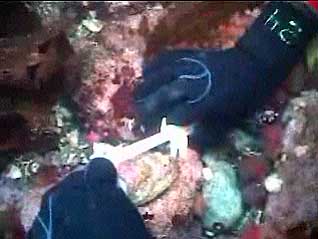
 Abalone tagging at Race Rocks with Pearson College graduate Jim Palardy  A dive with Dr. Scott Wallace for the Discovery Channel,
May 7, 2000
 Alberto Lindner of Brazil visits Race Rocks for research on the Hydrocoral Allopora  Dr. Gitai Yahel and research on Ecology of Suspension Feeders

Physical Factors and their Effects on Race Rocks

 Tidal Level Variation at Race Rocks  Surge Channel and Surge as an Abiotic Factor  The Flood Current at Race Rocks  Wind Storm at Race Rocks

BC Parks Impact Assessment Process

FIle No: 85700-35-0210206

Name of Action:       Construction and Pile Drilling for Current Turbine Project  

Proponent:               Lester B Pearson College

Review Date(s):         Nov 2, 2005             

  1. Issues and Environmental Components
  2. List any issues of concern that have been or may be raised by BC Parks, other government agencies, First Nations, or the public.

2 Identify any geographic “hotspots” at or close to the proposed action (e.g., areas of high use, concentrations of facilities, wilderness conservation zones, unique landscape features).

Below are the relevant items that we are contributing to this Preliminary Assessment, the third in a series leading up to this project. If further items are provided in the next few weeks, they will be updated here:

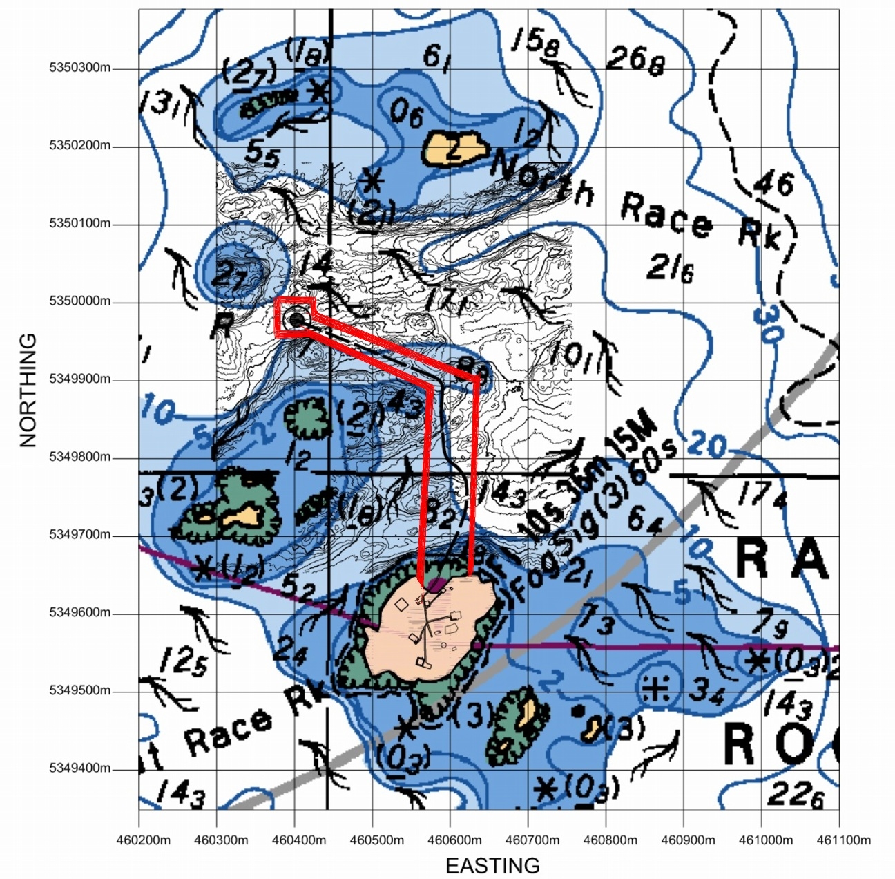
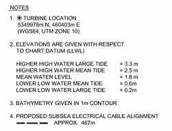
Location: The proposed location of the Tidal Current Generator Piling for the Cradle is shown below. This site was chosen after extensive testing of the current profiles in both channels with the Acoustic Doppler Current Profiler.

The red lines indicate the Pearson College  permit access area..


3. Identify any important environmental, recreational, social or economic values in the area of the proposed action and/or the area surrounding the proposed action (e.g., rare or endangered species, hiking experience, midden site). Include a rationale as to why the value is considered important.

The location for the installation is in the current channel just South of North Rock, with the typical associations of organisms of the highly current swept areas of the island. Since the depth is up to 20 meters, there are few macroalgae present.

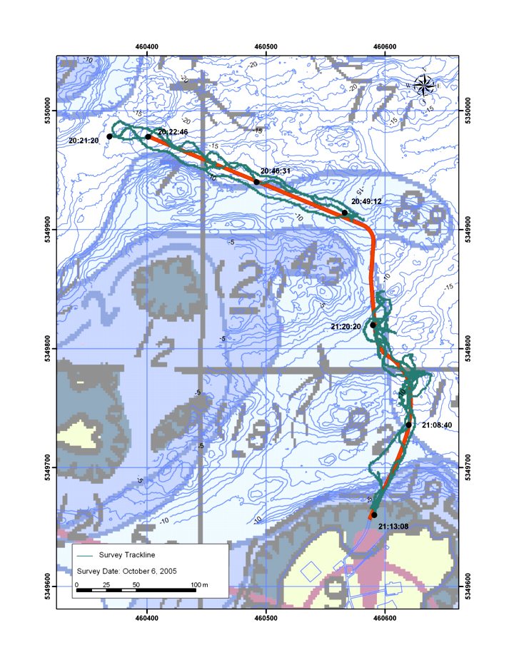
Archipelago marine has done a SIMS towed video CD . The route they took and the timing of the footage was done according to this Chart. Video taken by Pam Thuringer in the area of the chart missed by the towed video is now available from Archipelago marine

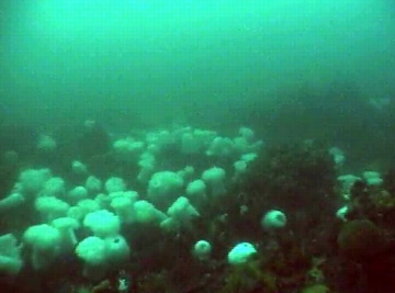
Some footage taken by the Pearson College Divers which shows the bottom fauna in the area of the turbine piling is located here:

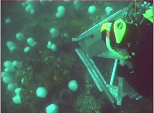
In order to predict the best location for the installation of the tidal power generator, an ADCP ( Acoustic Doppler Current Profiler) supplied by ASL Environmental Sciences was deployed. This instrument will collect current regime information for a period of one month. Rita Santos did the video and Angie Karlsen helped Chris Blondeau lift and position the concrete weights used to secure the device on the sea floor..

For an idea of the general patterns of organism distribution, the two clips below were taken from the video which was filmed at the location of the ADCP research at Station2:

Preliminary Screen Checklist (partial)

C. Level 1 report should recommend appropriate times and methods for construction to ensure birds /wildlifeimpacts are kept to a minimum.

Date of work: The installation in November is timed after the nesting and seal pupping season and in the time of the year when the Sea Lions have returned but are concentrated in the area to the East of the docks, on South Rock and on Middle and West Island. The closest population that may be disturbed by the drilling is on North Rock, and part of Middle Rock. In the past that population frequently comes and goes probably because of the fall schedule of blasting by DND .

Construction Method: We have been advised that a contract has been let by Clean Current for the drilling and installation of the piling to bear the generator to:

Fraser River Pile & Dredge Ltd. (FRPD)1830 River Drive
New Westminster, B.C.
V3M 2A8
Tel: (604) 528-9333
(Project manager Rick Gillis)

The attached .pdf file.. Construction Drilling provides the details of this phase of the project.

The amount of oil consumed in the drilling operation is approximately 5 gallons /hr. For a drilling depth of 8 m, the operation should take 4-5 hours. The drilling operation will not produce an oil slick. In the event of a spill FRPD, will employ their standard method of deploying containment booms and pads to contain the oil. Due to the challenging conditions in this area, FRPD will have additional booms and pads on board.
The drilling operation is a closed system. All drill cuttings will be brought to the surface and then processed through a cyclone which will separate the cuttings from the water. The water and entrained air will then be returned to the ocean via a pipe at a depth of approx. 20 ft. All of the cuttings will be collected on a scow that is tied up along side the drilling barge.The cuttings will be taken ashore for disposal.
Six anchor blocks of approximately 6’ x 6’ x 6’ will be used to anchor the drilling rig in position. Each of these blocks can be dropped at a predetermined location; however, depending on the current during this operation, the actual location may differ from the intended spot. Also, once all 6 blocks are in position, the anchor lines will be tensioned to firmly lock the barge in position. During this winching operation, it is very possible for the blocks to slide a short distance along the seabed until they lock in position. The thinking now is that 4of these blocks will left in place for the duration of the Tidal Generator Project. This will avoid further damage to the bottom in future operations where a barge will have to be employed for the lifting of the generator on regular (yeaarly) basis for servicing.

Equipment

Island Tug operates a large fleet of tugs and barges including one self-propelled cable layer. The principal method of cable handling utilizes one of two powered self-breaking drums. Reel number 1 has a capacity for 80,000 feet of 2-inch diameter cable with a break holding capacity of 200 tons. Reel number 2 has a capacity for 30,000 feet of 2-inch diameter cable with a break holding capacity of 100 tons.

Procedure of Cable Laying – General

Reel number 2 is mounted aboard the cable layer, Georgia Transporter. Cable is transferred from shore storage reels to the ship-mounted reel and transported to the site. Cable is taken ashore at the cable shore-end via a bow mounted adjustable ramp. A bow mounted cable chute is used to deploy the cable while the Georgia Transporter is towed astern. Two GPS systems monitor the surface position and provide feedback via digital charts. Track corrections are implemented through a variety of methods using the Ship’s power, directing the towing vessel or employing side boats. For shallow water lays, the cable tension is not monitored by equipment but by the angle off the bow, with lay and reel speeds corrected as necessary. For deep-water lays, the cable tension is monitored with on deck tension monitoring equipment such as linear tension devices or load cells. Cable weights and water depth information are pre plotted along a planned track in order to adjust for the intended tension at given positions.

Reel number 1 is mounted aboard one of Island’s flat deck barges and used in the same manner as the description above, with the exception that the barge will start and finish on four point moorings.

Island Tug And Barge Ltd.
R.L. (Bob) Shields
President

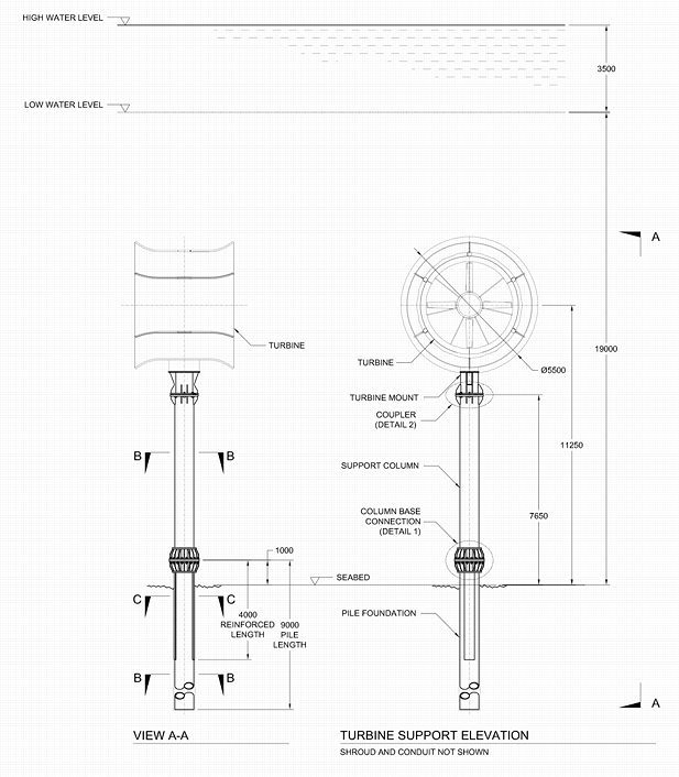
Piling Construction:

Further details of the column construction in the figure above can be obtained from a .pdf file from Clean Current
On Site Supervision: Chris Blondeau, operations manager, and Garry Fletcher, Ecological Reserve Warden will be available to oversee the environmental concerns. In addition, Pam Thuringer and staff of Archipelago Marine have been contracted to do an ongoing environmental assessment for the duration of the construction phase of the project.
Recommendations:1. If it is possible, we recommend the temporary displacement of any of the larger motile invertebrates such as sea urchins, sea stars and sea cucumbers in the impacted area while the project is being carried out, with their return to the same approximate habitat upon completion. This may however not be feasible given the nature of the operation and the timing.

2. Working at this time of year could involve difficult weather conditions. It must be emphasized that the safety of personnel and the ecological reserve is paramount.

Prepared by G. Fletcher Nov 2, 2005

Statistics Assignments from Race Rocks Data

S


1.Seawater Temperature and Salinity in the Strait of Juan de Fuca

2. Air /precipitation Physical Data

3.Solar/UV Correlations file

4.Solar historical files

5. Doing statistics on Wind at Race Rocks

6. Doing statistics on Wind and Barometric Pressure correlations.

7. Statistics Lab on Mollusc measurements

8. Abalone measurements

9. The Christmas Bird Count

10. Black OysterCatcher predation

11. Wind and Barometric Pressure correlations

Purpose:
To transfer data from an EXCEL spreadsheet, (or equivalent program in other software) presented on the racerocks.com website to your own computer in order to be able to graph trends and analyze relationships.
Procedure :1. Open a blank workbook in EXCEL on your computer. Next open one of the files saved from EXCEL below and then with your cursor highlight the columns that you want to transfer to your open EXCEL workbook, and press COPY. ( If your computer is low on memory, you may have to close the web page before opening the EXCEL application.)

2. Copy and Paste the data from the web page directly into your blank EXCEL workbook.

3. You now have our original data on your machine and you can proceed to do any one of the many manipulations possible in the EXCEL program. You can also copy and paste in other month’s data in order to get a larger data set .

4. If you come up with a way of analyzing the data which is particularly creative, we would be interested in attaching it on racerocks.com. Just e-mail it as an attachment . e-mail: Garry Fletcher

5. You are welcome to use this data for educational purposes, you are just asked to reference the source as:
Lester B. Pearson College, racerocks.com

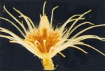
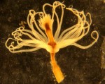
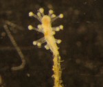
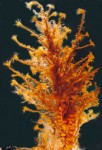
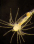
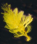
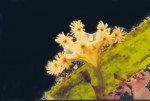
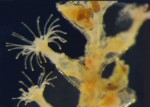
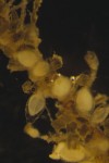
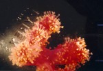
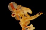
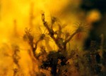
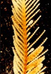
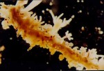
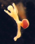
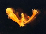
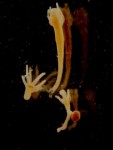
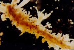
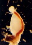
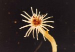
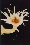
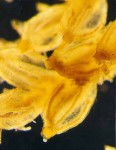
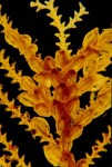
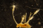
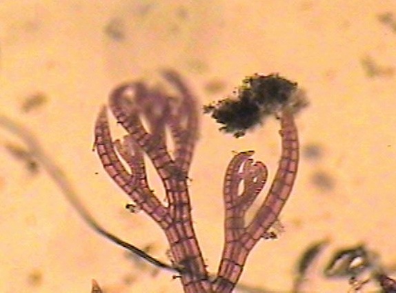
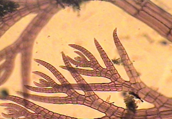
Hydroid photomicrography by Dr. Anita Brinckmann-Voss

Find the individual file on these species photographed by Dr.Brinckmann- Voss in the Race Rocks taxonomyo

See this link for all the hydroid entries:  https://www.racerocks.ca/tag/hydroid/

These images were scanned from 35 mm.slides taken by photomicrography of samples collected on permit at Race Rocks by Dr. Anita Brinckmann-Voss* with the assistance of students and faculty of Lester B. Pearson College. Scanning and preparation for html was done by Garry Fletcher.

Copyrighted 1999–All Images on this page are the property of:
Dr. Anita Brinckmann- Voss They can not be used or modified without her written permission.

* All hydroid species shown on this website have been reported in

:Brinckmann-Voss, A. 1996.- Seasonality of hydroids (Hydrozoa, Cnidaria)

from an intertidal pool and adjacent subtidal habitats at Race Rocks,

off Vancouver Island, Canada. Scientia Marina

60 (1):89-97.

Return to the file on Dr. Anita Brinckmann-Voss

Underwater testing of materials to be used in the Tidal current energy project

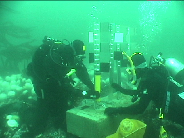
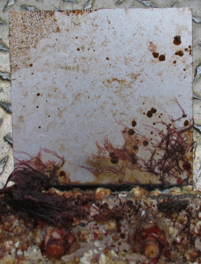
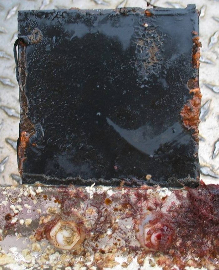
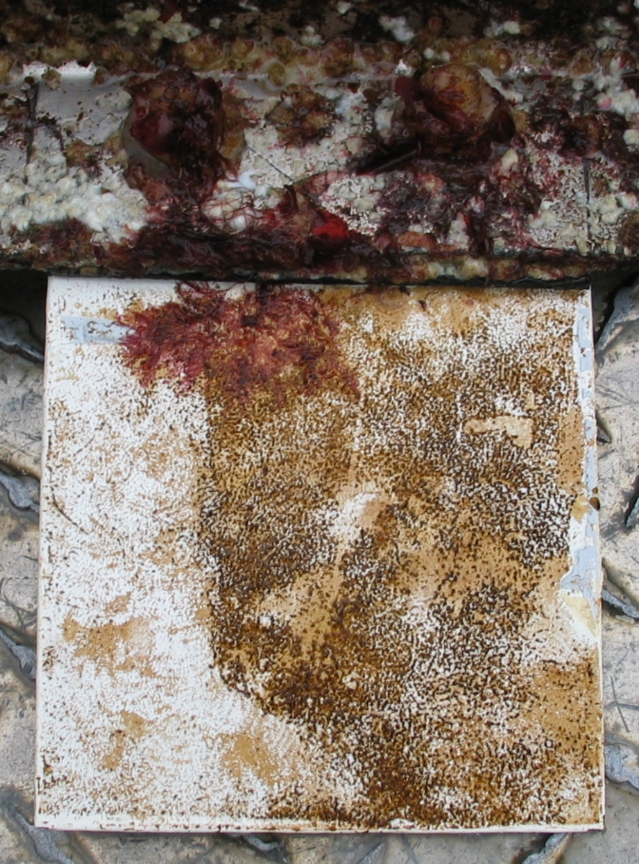
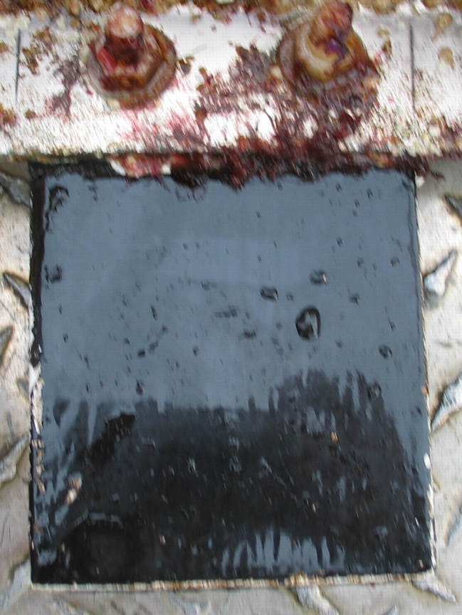
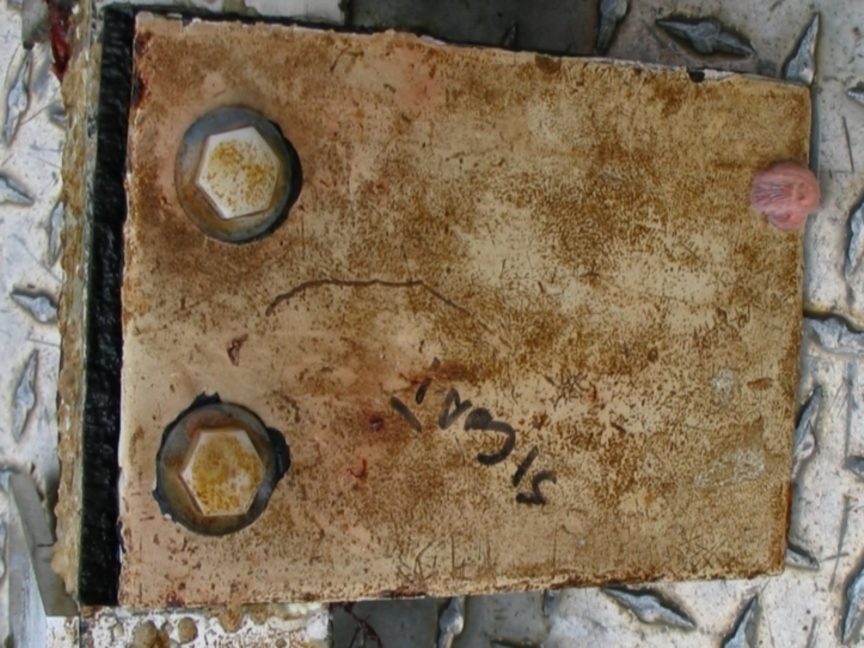
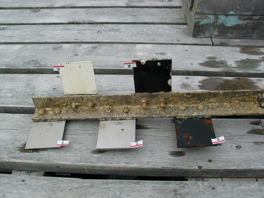
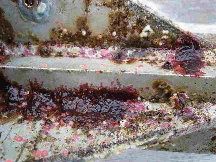
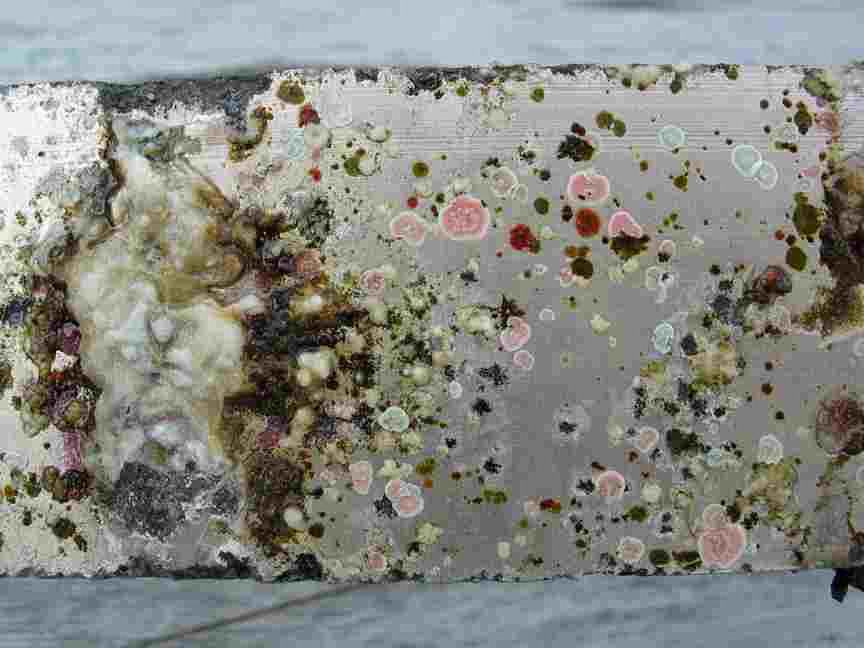
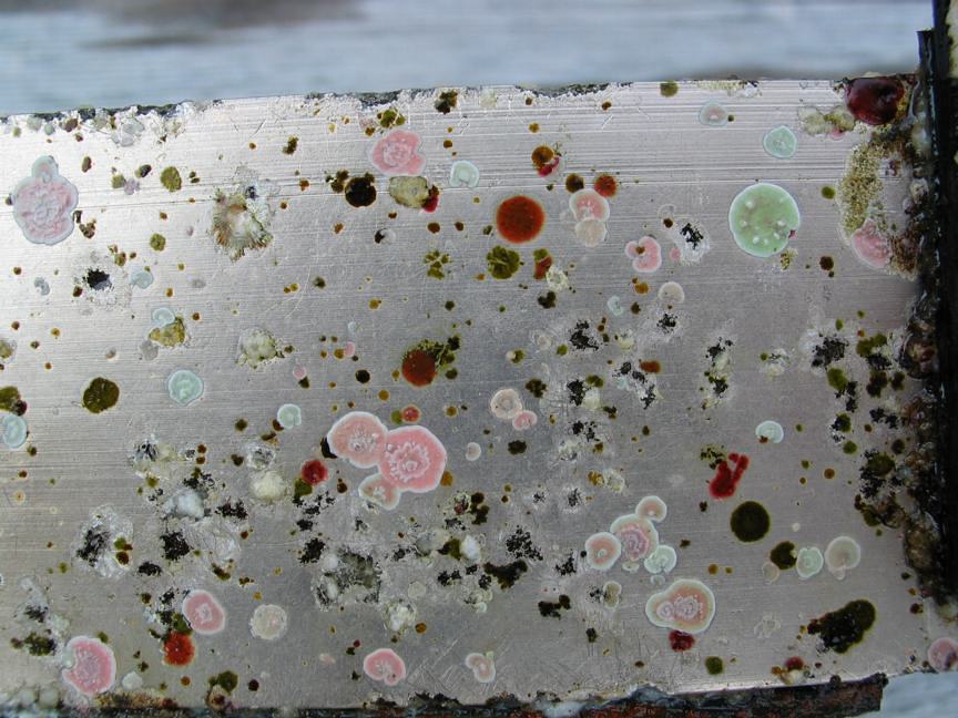
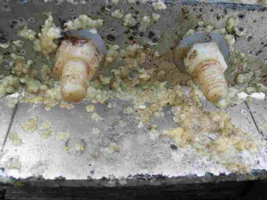
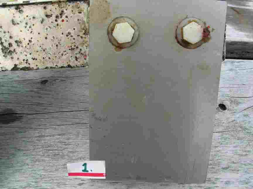
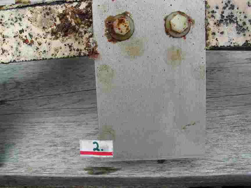
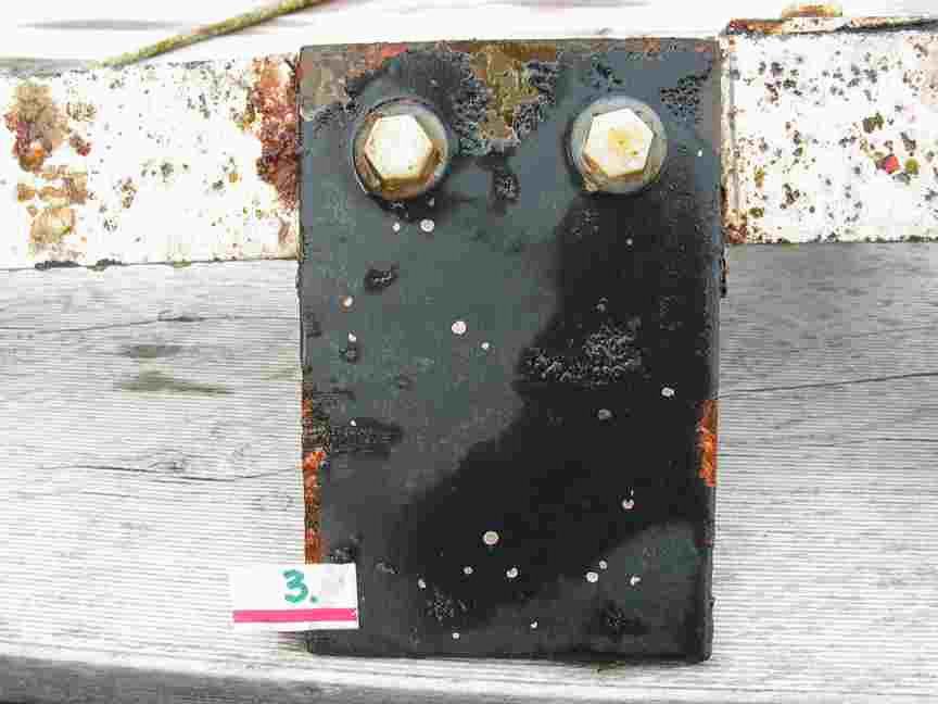
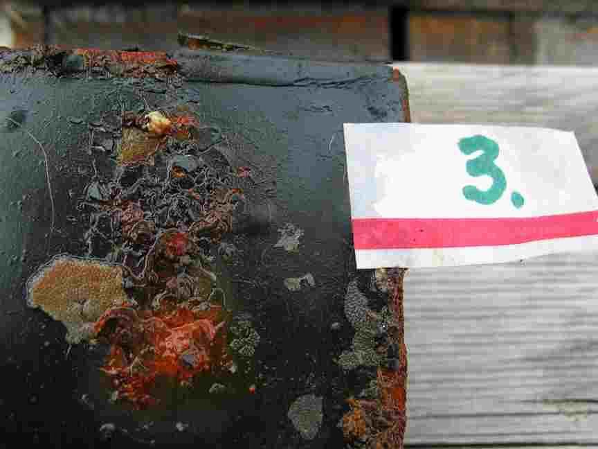
Below: Installation of the Fouling Plates by Chris Blondeau and Pearson College Diving Students in July, 2005. This video shows the installation process for the research project carried out to determine which surfaces discouraged growth in the waters at Race Rocks.


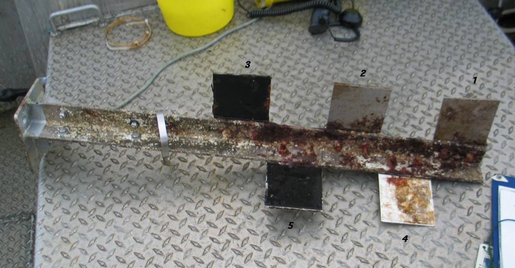
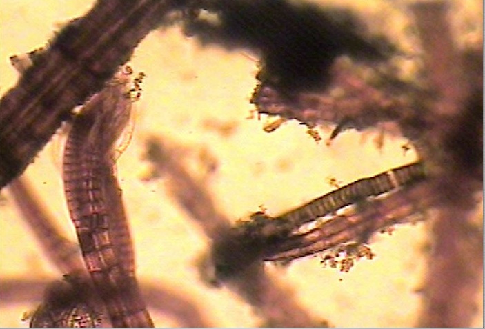
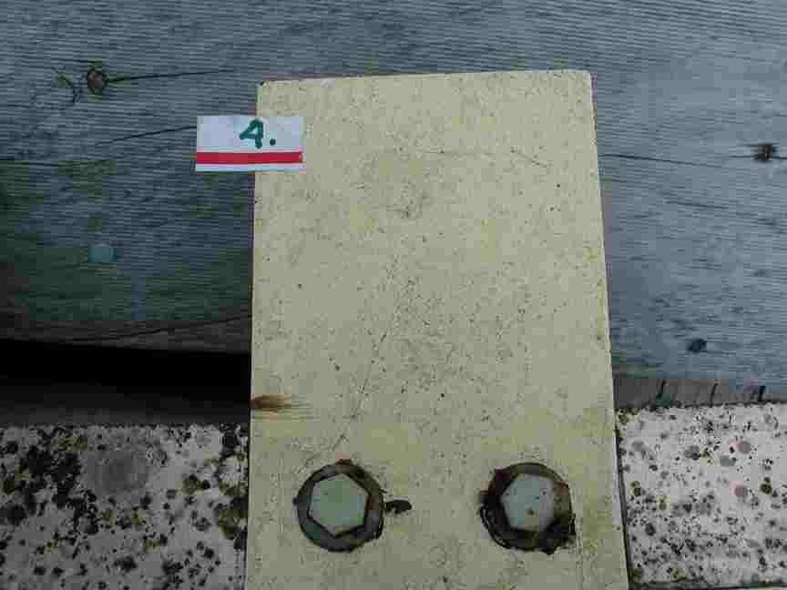
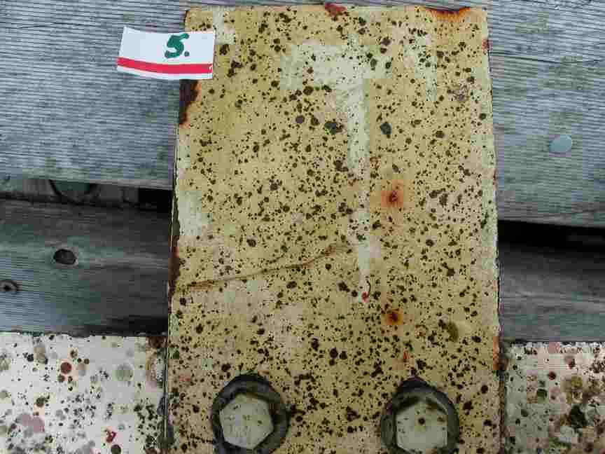
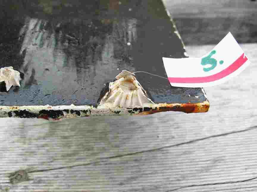
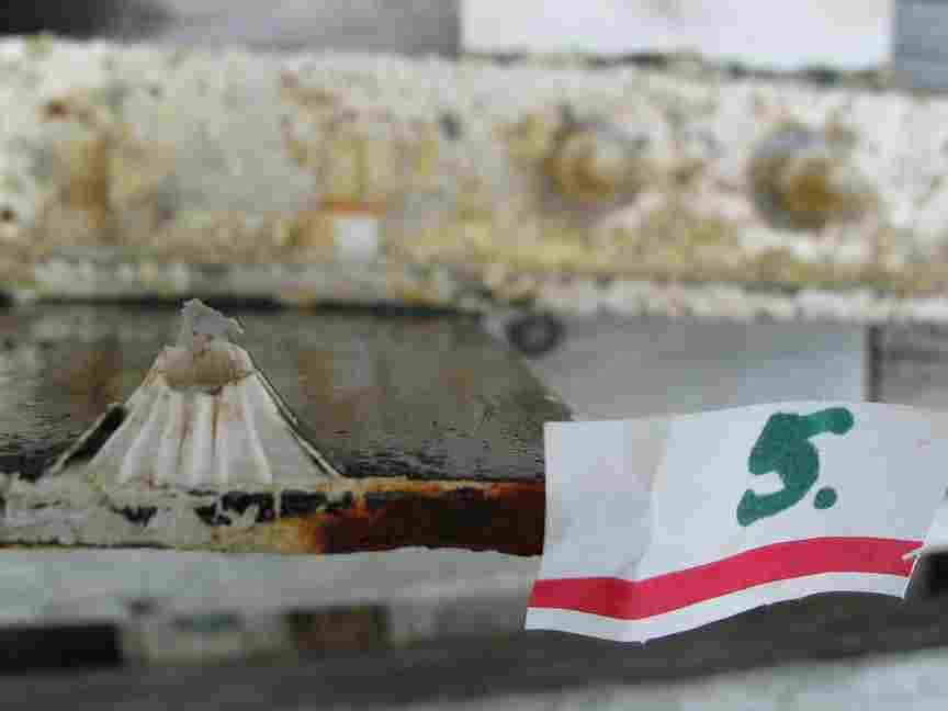
In the spring of 2005, a set of plates made up of 5 different materials and coatings was deployed in the centre of the main channel, straight out from the docks at Race Rocks. This is the result on Nov 2005 results- (qualitative)


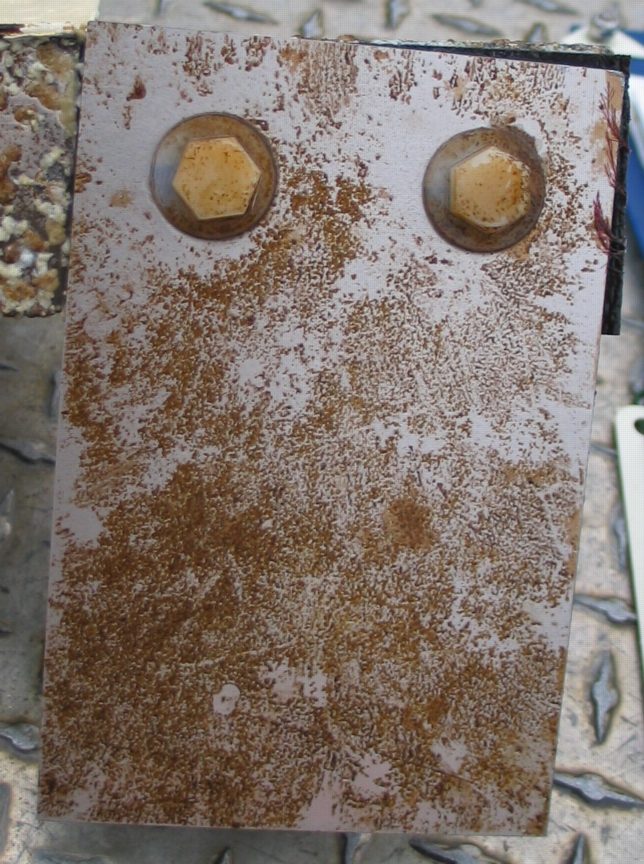
ONE YEAR LATER June 09, 2006


Species List for the West Side of the Race Rocks Jetty , 2005

This list was compiled by Pam Thuringer of Archipelago Marine on May12, 2005. She examined the west side of the docks exposed at a 0.35m tide as part of the Environmental Impact assessment for the Tidal Current Project.

Invertebrates Balanus glandula many
Semibalanus cariosus many
Hemigrapsus nudis few
Mytilus californianus few
Sponge ( orange encrusting species) few
Katharina tunicata few
Littorina scutulata many
Tectura persona few
Lottia pelta few
Anthopleura elegantissima few
Lirubuccinum dirum few
General Group Species Occurence
Brn. Algae Nereocystis luetkeana sparse
Fucus sp. sparse
Leathesia difformis sparse
Hedophyllum sessile abundant
Alaria marginata abundant
Costaria costata few
Red Algae Mazzaella splendans few
Mastocarpus pappilatus sparse
Halosaccion glandiforme few
Lithothamnion sp. few
Odonthalia floccosa sparse
Polysiphonia sp. sparse
Coralline algae. several species sparse
Porphyra perforata sparse
Endocladia muricata sparse
Green Algae Ulva sp. sparse
Acrosiphonia sp. few

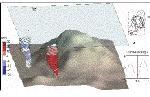
Stratified Tidal Flow over a Bump- Richard Dewey

doi: 10.1175/JPO2799.1
October, 2005,
Journal of Physical Oceanography: Vol. 35, No. 10, pp. 1911–1927.

Stratified Tidal Flow over a Bump
RICHARD DEWEY
School of Earth and Ocean Sciences, University of Victoria,
Victoria, British Columbia, Canada
DAVID RICHMOND AND CHRIS GARRETT
Department of Physics and Astronomy,
University of Victoria,
Victoria, British Columbia, Canada
(Manuscript received 8 October 2004, in final form 22 April 2005)


ABSTRACT: The interaction of a stratified flow with an isolated topographic feature can introduce numerous distur- bances into the flow, including turbulent wakes, internal waves, and eddies. Measurements made near a “bump” east of Race Rocks, Vancouver Island, reveal a wide range of phenomena associated with the variable flow speeds and directions introduced by the local tides. Upstream and downstream flows were observed by placing two acoustic Doppler current profilers (ADCPs) on one flank of the bump. Simulta- neous shipboard ADCP surveys corroborated some of the more striking features. Froude number conditions varied from subcritical to supercritical as the tidal velocities varied from 0.2 to 1.5 m s1. During the strong ebb, when the moored ADCPs were located on the lee side, a persistent full-water-depth lee wave was detected in one of the moored ADCPs and the shipboard ADCP. However, the placement of the moorings would suggest that, by the time it appears in the moored ADCP beams, the lee wave has been swept downstream or has separated from the bump. Raw ADCP beam velocities suggest enhanced turbulence during various phases of the tide. Many of the three-dimensional flow characteristics are in good agreement with laboratory studies, and some characteristics, such as shear in the bottom boundary layer, are not.

Dewey-RG-Bump-JPO2799

See the full version of this paper at:

ftp://canuck.seos.uvic.ca/papers/Dewey-RG-Bump-JPO2799.pdf

Installation of Succession plates for the Tidal Energy project

This video shows the installation process for the tidal energy generator research project. This was carried out by Chris Blondeau and the Pearson College Divers in order to determine which surfaces discouraged growth in the waters at Race Rocks. As a result, Titanium was used in the construction of some parts of the generator as it was one of the metals most resistant to fouling.

See other archived video with Pearson College Divers
Link to the Integrated Energy Project