Ecotour Boats at Race Rocks–Observations on Human Impact.

 The Problem with Ecotourism boats:

pod of whale watchers

Might this not be too great a concentration of whale-watching boats , Sept 20, 2015

We are well aware that the marine ecotourism industry is important to the economy of the Victoria and Sooke area, and over the years have had  good record of cooperation with the whale watching companies in the observation of regulations for marine mammal and bird viewing at Race Rocks. There are times however when the operation of individuals in their fleet of vessels within the reserve is not in keeping with the ultimate goal of ensuring sustainability of this resource.

The Recommendations for Marine Mammal observation at Race Rocks:

These two maps show the reality of the distances involved at Race Rocks:

The regulations for Marine bird and mammal viewing as DFO policy is 100 metres. In the early negotiations about a marine protected area for Race Rocks, stakeholders agreed that the distance between the middle islands and Great Race be in under 200 metres would preclude any vessel from using that passage. It was agreed with the ecotourism community that they could transit that area near the centre line, either drifting  or slowly under motor.  The 200 metre zone would be respected however for all other parts of the Ecological Reserve .

The Pacific Whale-watch Association lists the folllowing regulations for the
RACE ROCKS SPECIAL OPERATING AREA

1. “Go Slow Zone” = 1/8 mile (220 yards) from any rock or landmass around Race Rocks.
2. Vessels will slow on their approach to Race Rocks such that speed at 1/8 mile (220 yards) from any rock or landmass is reduced to approx… 7 knots (minimal wake and wash, relative to the condition of the seas state at the particular time).
3. Vessels in the Go Slow Zone will remain as close to mid-channel as is practicable between the major rock outcroppings known as Great Race, North Race Rock, West Race Rock, and Helicopter Rock.
4. While in the Go Slow Zone vessels will transit the area with the current whenever conditions are suitable to do so. Drifting is encouraged relative to other boat traffic and where safe navigation is not compromised.
5. Vessels exiting the area may increase speed gradually outside the Go Slow Zone.
6. Vessels will remain 1/8 mile (220 yards) outside the Go Slow Zone whenever any whale species are present in the Race Rocks Reserve (Go Slow Zone).

This is the ” Be Whale Wise advice” from DFO for marine mammal viewing
Quote: from DFO: ” Why do we need guidelines?”
“The diversity and complexity of marine life in the coastal waters off British Columbia and Washington is truly extraordinary. It is a fragile world. Pollution, global climate change and other impacts are taking their toll at all levels of the coastal food web. Many species of marine wildlife, such as the endangered southern resident killer whales, are showing signs of vulnerability. Meanwhile, vessel traffic in our waters is steadily increasing, placing added pressures on marine animals and their habitats. We need to minimize our impact. These guidelines are designed to help you enjoy your wildlife encounter, and reduce the risk of disturbing marine wildlife.”

I have documented the History of how amendments to Marine Mammal Viewing regulations worked on over a decade have still not been included in the current Marine Mammal Viewing regulations at this post: https://www.racerocks.ca/?p=19751

Why we need updated regulations is clear from the following examples recorded at Race Rocks:   Also see this  tag for logs of vessel observations on viewing recommendations at Race Rocks.

rm070510eagwingnarrow

March 2010: Unfortunately there are a very few individuals in the whale watching industry who continue to give a bad name to the usually cooperative group of skippers and operators. The following sequence of images was taken on March6, 2010. The ecotour boat made a short tour of the reserve but was in a rush to leave, accelerating in the waters between Great Race and North Rocks creating wake as it sped out of the reserve.


Below, a viewer on the remote camera 5 captures a sequence of one tour boat with an impact on the sea lions in November 2007.


Ecotourism can have both positive and negative effects. In this video, you see two ecotourist whale-watching boats from Victoria B.C. that demonstrate two methods of viewing marine mammals. The yellow boat, rounds the middle rock inside the kelp bed, much too close to the island which is covered with northern sea lions and a few California sea lions. Since the animals on the North side of the island do not see the boat coming at this close distance, they are startled and about 25 of them take to the water. The high profile of the boat is increased by the individuals standing on the top of the boat, probably adding to the scare value.

The white boat, comes down the main passage between Great Race and the middle rock. They have approached slowly, drift with the current and present very little impact on both the sea lions on the middle rock and the harbour seals hauled out on the main island down in the foreground. Missing from this video however is video of their departure from the reserve where they swing in very close to the end of the docks, causing a stampede of a dozen sea lions in that area.  Disturbance of any marine mammal colonies by vessel operators is against the law. Every time an animal has to change it’s behaviour because of human behaviour, there is a cost in terms of energy expenditure.


September 8, 2009: some whale watching boats still fail to stay a good distance off shore for viewing. It is questionable whether voluntary guidelines are adequate to ensure the ongoing sustainability of this resource as the number of whale watching boat visits continues to increase. In this video, the extent of ecotourism on a calm day and the effects on marine life are discussed.

Tagging the Elephant Seal Pup

A week ago we asked Paul Cotrell, the Pacific Marine Mammal Coordinator of Fisheries and Oceans Canada to assist us in starting a program of annual elephant seal pup tagging by tagging this years elephant seal pup born on January 14.

2014-02-27 tagcrewThis morning  Erik  Schauff drove the college boat Second Nature out to the Ecological Reserve to transport Paul Cotrell, Sheena Majewski from PBS in  Nanaimo and Mya Cormie from the Victoria DFO office.  Also on board were biology faculty member Ann Stewart, as well as Barry Herring and myself


We joined Alex Fletcher and Virginie Lavalie , Ecoguardians at the ecological reserve in helping with the tagging process. We had planned to do this earlier in the week but the East winds were still blowing. As it was we hit a perfectly calm day today.

pupbefore

The pup was on the grass by the weather instrument and was somewhat bigger than we had estimated, probably 250-300 pounds.


2014-02-27 paulholddown

Our first attempts to get it on a weighing platform failed as the pup was just too large and difficult to control. Paul decided in order to avoid any further stress, to just do the tagging. Alex held the rear flippers and Sheena used a tagging tool to insert the tags into the webbing of each of the rear flippers.


2014-02-28pupF057-F076

Tag on rear flipper of elephant seal pup

A set of turquoise tags numbered F075 and F076, with numbers facing outside were added to the each of the rear flippers. The colour of the tags is important because each research program using tagging has to use unique identifiable colours and numbers.


The first elephant seal to be born on Great Race Rocks in 2009, was tagged with red tags by NOAA scientists when it came ashore in Port Angeles.

pauland group

Paul Cotrell telling Pearson College students about the hazards of marine mammal tagging.


2014-02-28 pupF076

Pup moving around the following day

A group of Anne’s students came out from Pearson College to observe the newly tagged pup, it being the first one tagged in Canada.


Initially after tagging, the pup moved off about 6 metres and settled down in a grassy area.

pupF076-F076

Pup settled down on the lawn the next morning.


The next morning, the pup had returned to the same spot where he had been tagged. He moved around a short distance during the day.

Pam Birley from England also took some pictures of the process using camera and has posted these on her Flickr site


Sea Otter (Enhydra lutris) appears again at Race Rocks Ecological Reserve

This afternoon we observed a sea otter Enhydra lutris eating a giant red sea urchin Strongylocentrotus franciscanus  just off the south west corner of Great Race Rocks .  It was followed by several gulls, keeping an eye out for scraps. We were able to get a few pictures and some video of it which we will be adding to this post.

Previous sightings of sea otters at Race Rocks are recorded in these posts.

otter2

Sea otter at Race Rocks Ecological reserve, February 27, 2014, G. Fletcher photos.


otter1


Views from Race Rocks

On  March   Barry Herring, spent a day with us out on Race Rocks recording some of the views.  Included here is some of his work. Barry is a photographer from Victoria, BC.

barryspanno

Click on this image for a panorama view of the south side of great Race Rocks island. On the left are the solar panels and foghorn operated by the Canadian Coast Guard for the lighthouse. On the left is the energy centre operated by Lester Pearson College . Note solar panels on the roof. This is the centre for the integrated Energy Project which provides energy for the other buildings and the camera servers on Race Rocks


barrypanowest

A panorama of the southwest coast.

IMG_4460

The remote-control camera 5 and a view to the west.

We happened to be there on a very calm evening with a great sunset:

barryshousesunset

The former Assistant lightkeeprers residence of the Lightstation is now the science house at Race Rocks. The building can house visiting students and researchers who arrive at Race Rocks.


Atmospheric Pressure / Barometer at Race Rocks

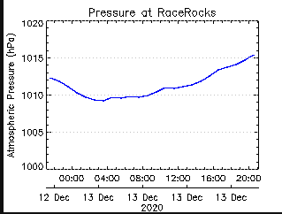
Click for Barometric pressure today at Race Rocks

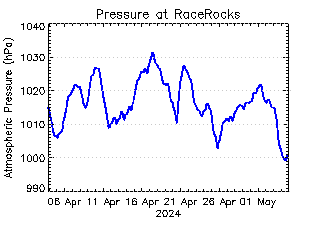
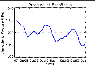
Click for Barometric Pressure for the past week

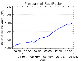
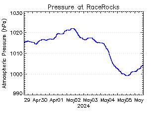
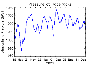
Click for Barometric pressure this past month  


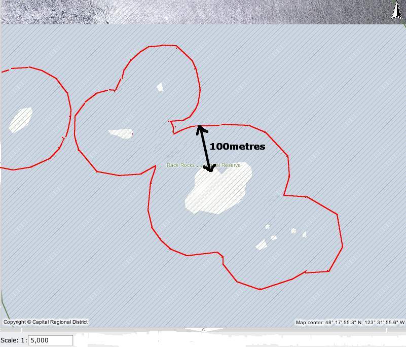
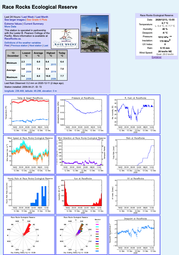
See the barometric pressure, today, last week, last month on the weather page: Our weather instrument is at an elevation  above sea-level of 6 meters.

The weight of the air that makes up our atmosphere exerts a pressure on the surface of the earth. This pressure is known as atmospheric pressure. Generally, the more air above an area, the higher the atmospheric pressure. This, in turn, means that atmospheric pressure changes with altitude. For example, atmospheric pressure is greater at sea-level than on a mountaintop.


To compensate for this difference in pressure at different elevations, and to facilitate comparison between locations with different altitudes, meteorologists adjust atmospheric pressure so that it reflects what the pressure would be if measured at sea-level. This adjusted pressure is known as barometric pressure. Our weather iinstrument  measures atmospheric pressure. Barometric pressure changes with local weather conditions, making barometric pressure an important and useful weather forecasting tool. High pressure zones are generally associated with fair weather, while low pressure zones are generally associated with poor weather. For forecasting purposes, the absolute barometric pressure value is generally less important than the change in barometric pressure. In general, rising pressure indicates improving weather conditions, while falling pressure indicates deteriorating weather conditions. Our weather instrument samples the barometric pressure at the time of the archive and writes that value into the archive memory every 10 minutes.

It makes an interesting esercise and one can get a good understanding of negative correlations when comparing the records for wind speed and barometric pressure for several days or the past month

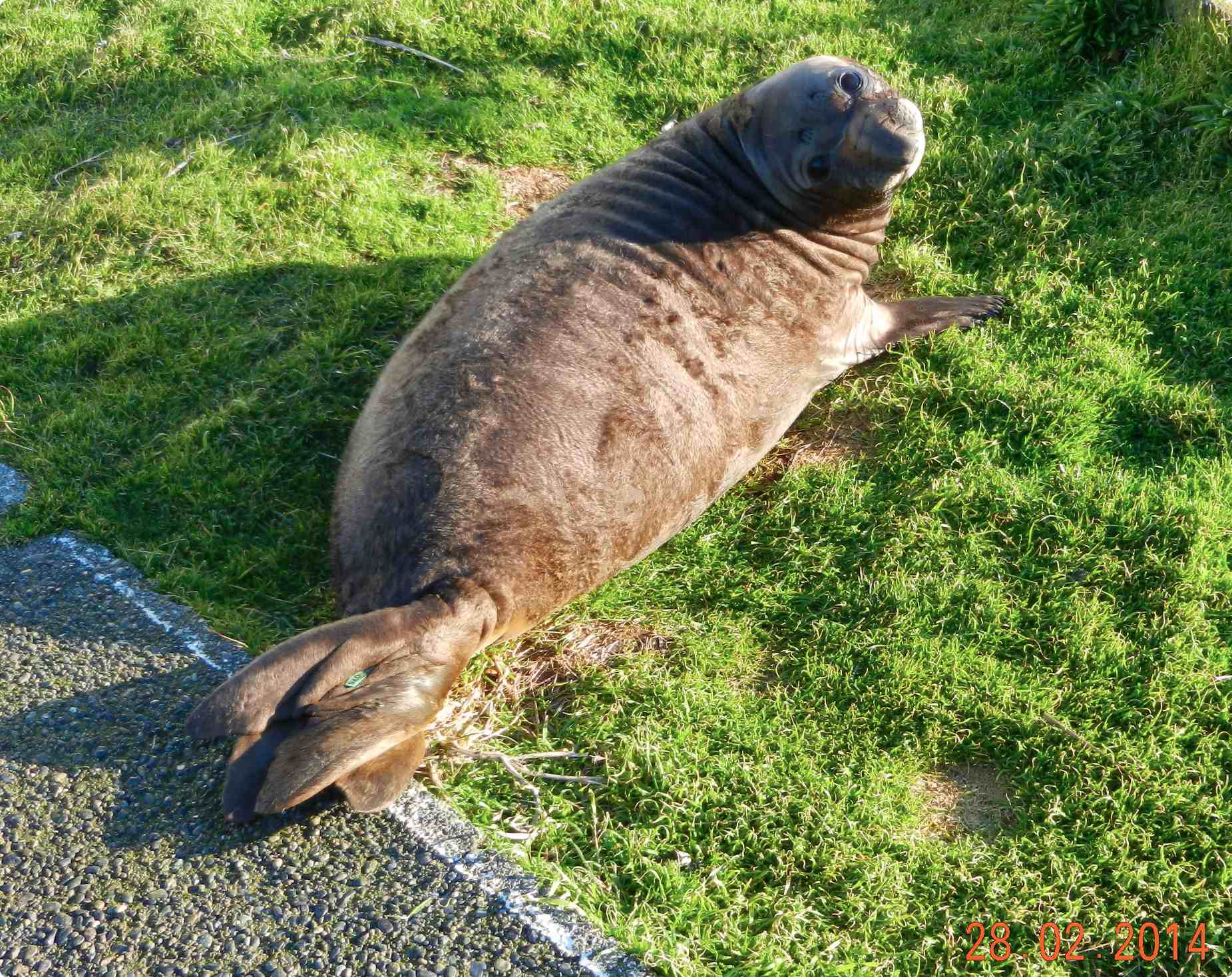
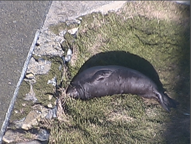
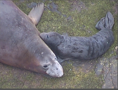
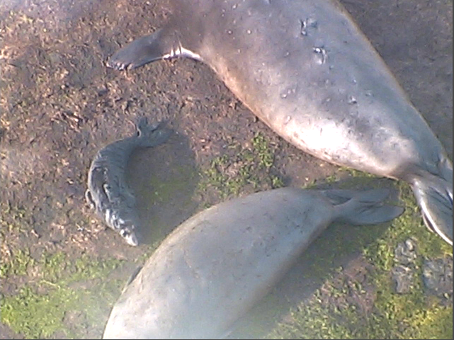
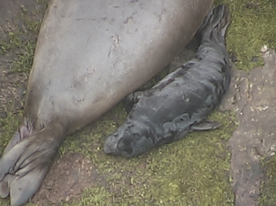
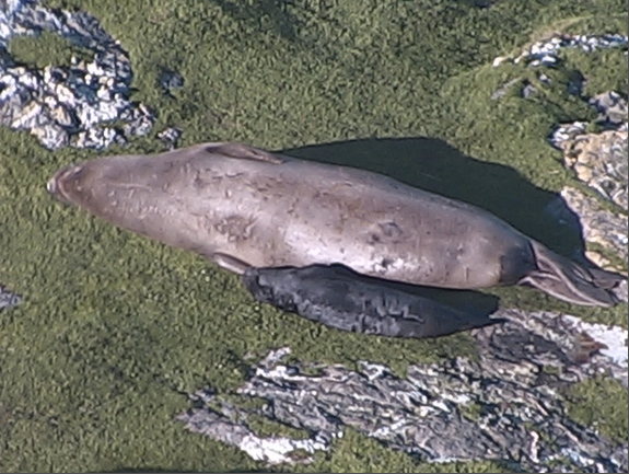
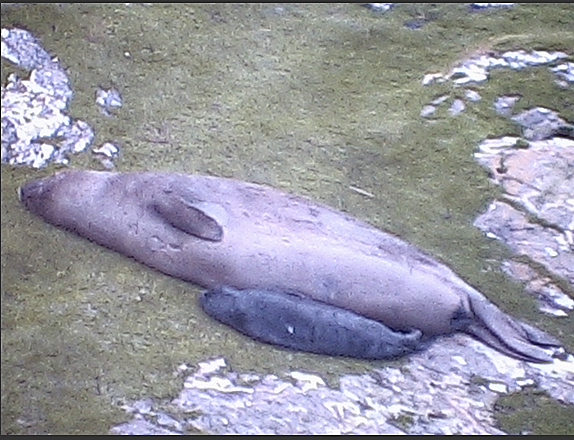
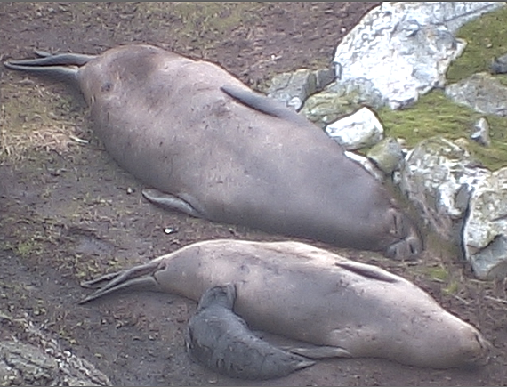
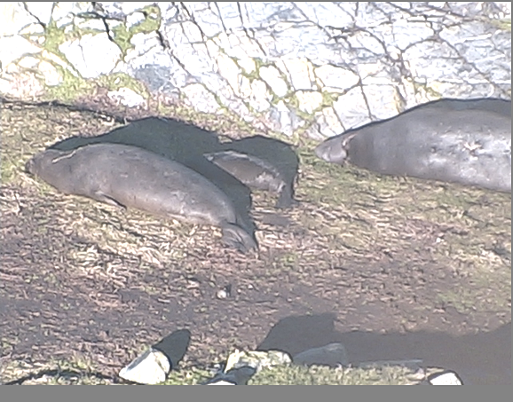
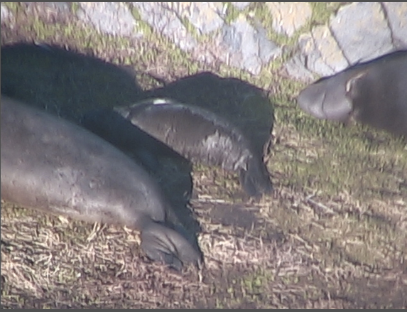
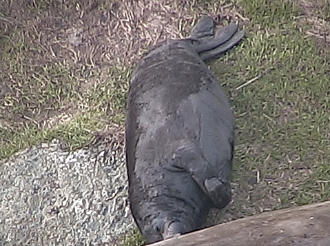
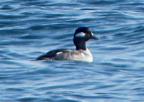
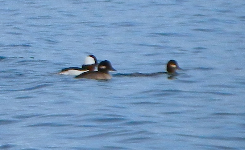
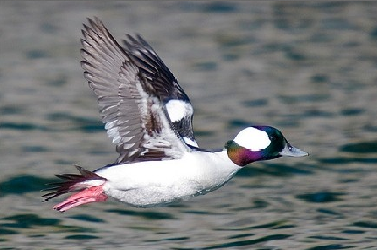
The affect of Barometric Pressure on Organisms at Race Rocks

Response of organisms to Barometric Pressure:

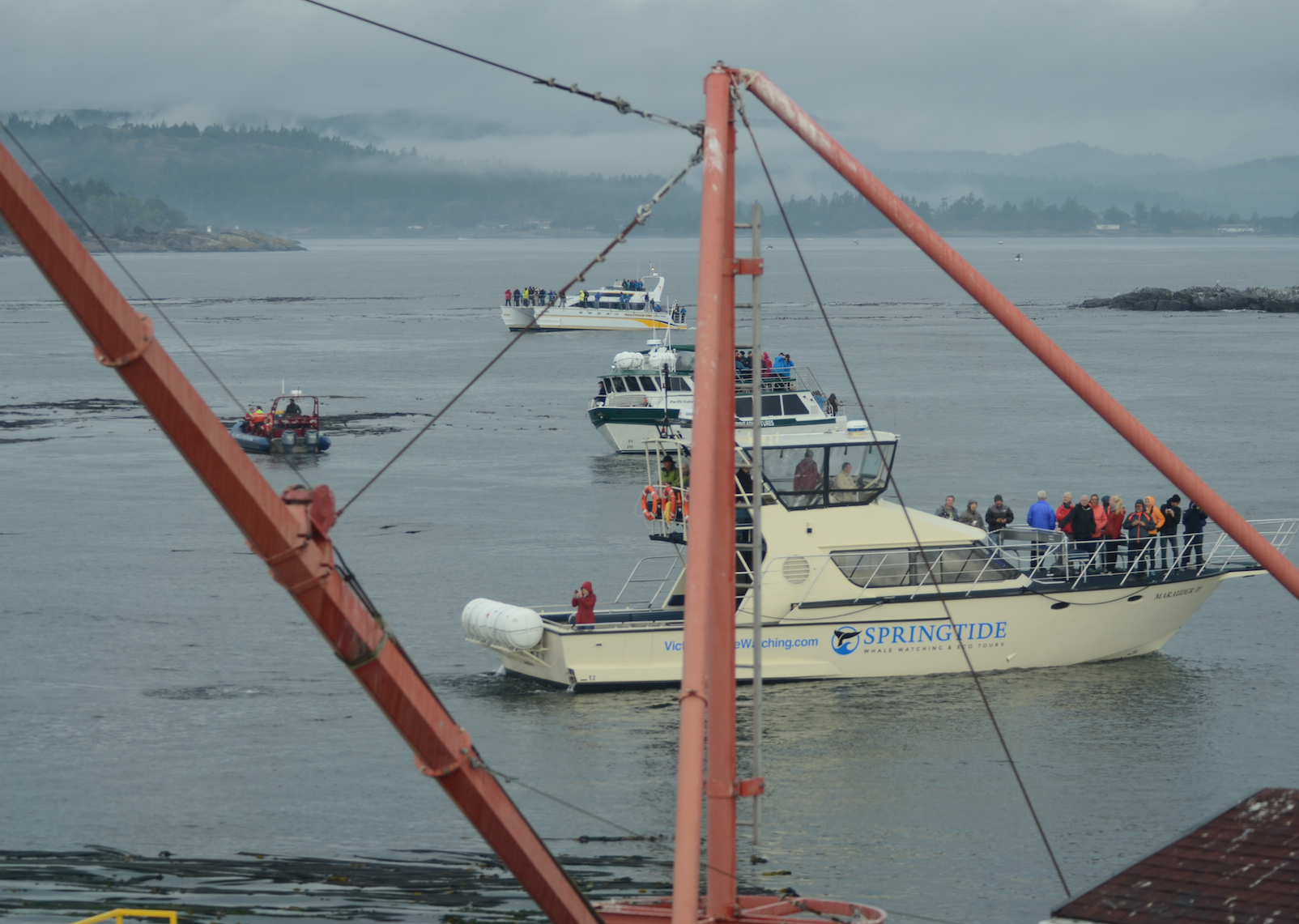
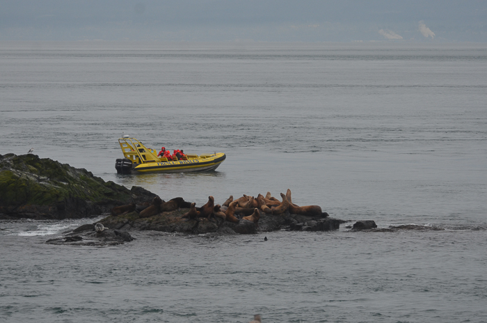
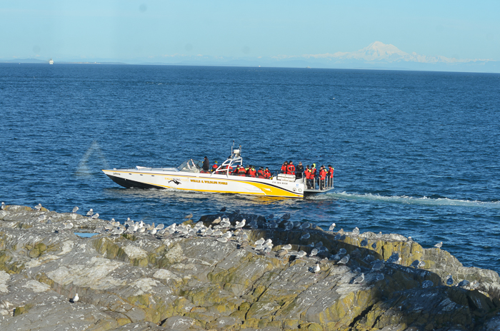
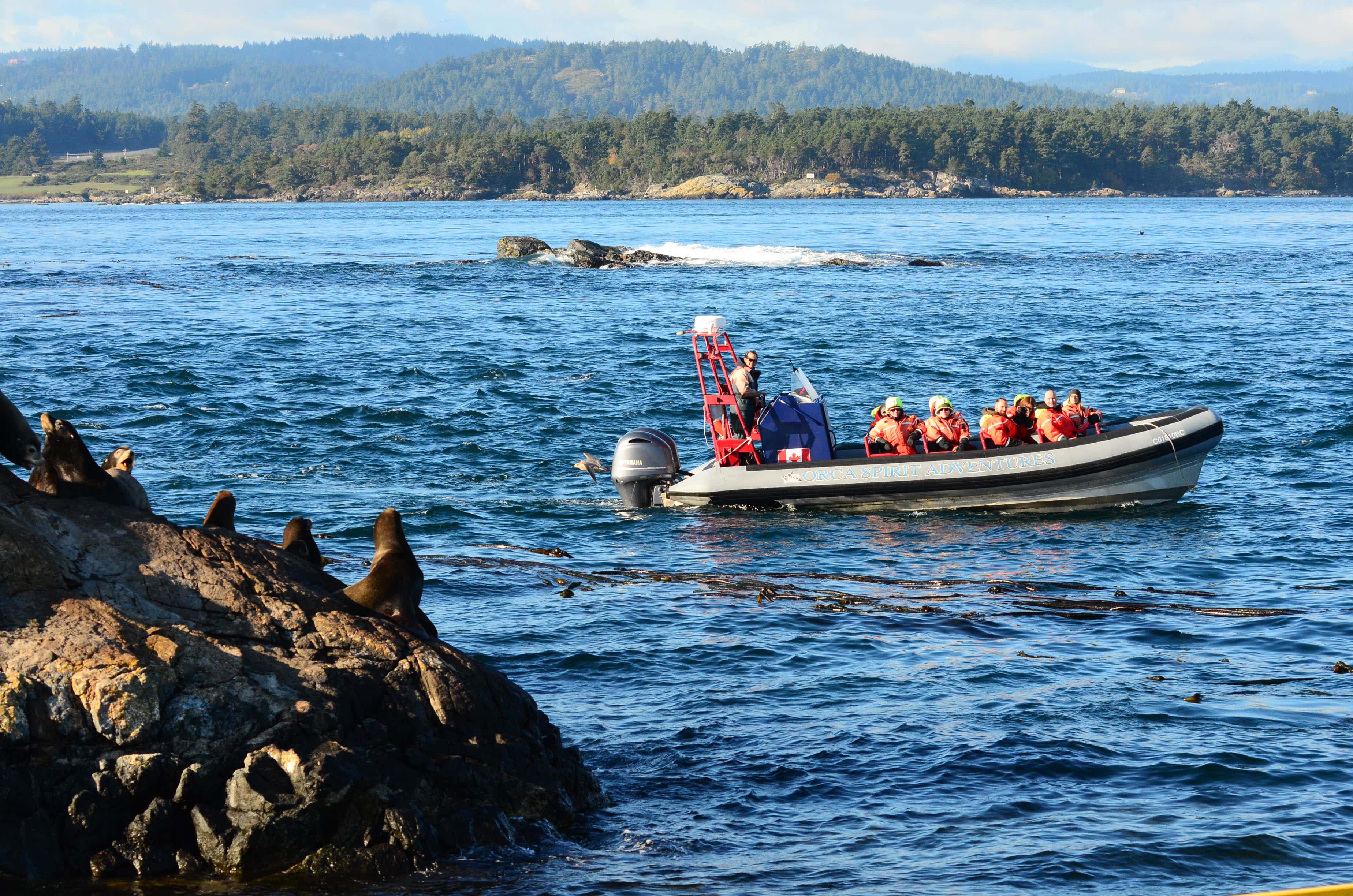
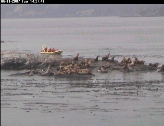
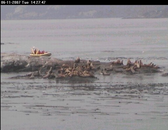
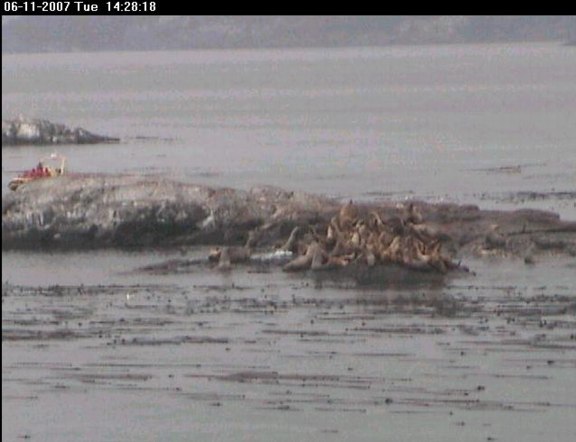
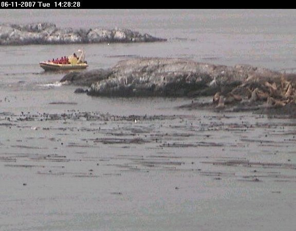
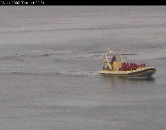
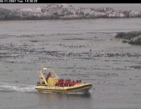
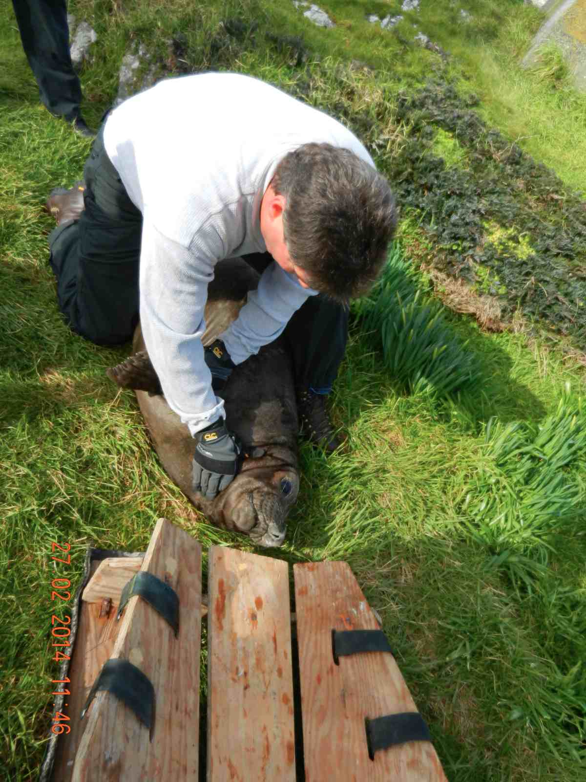
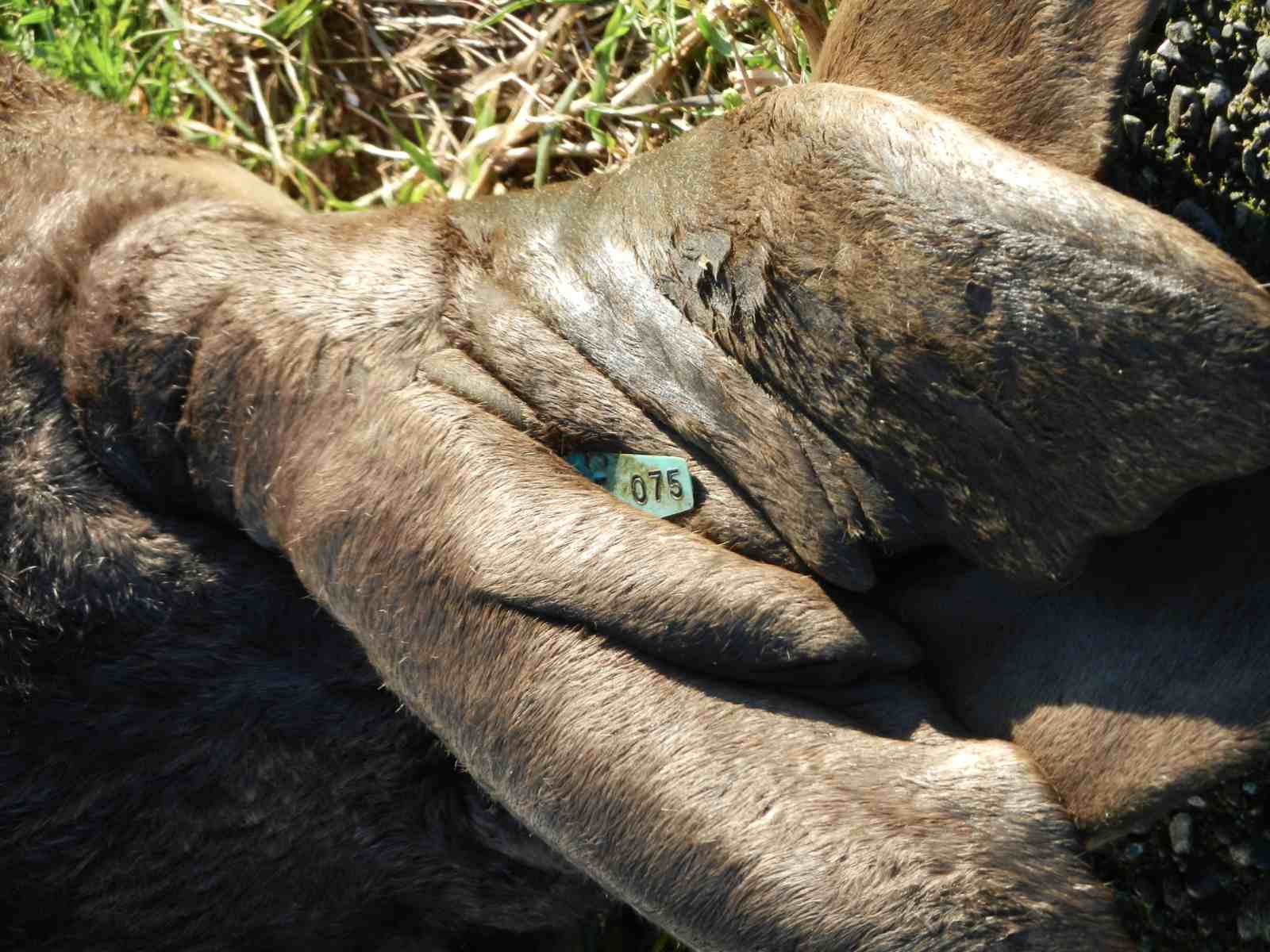
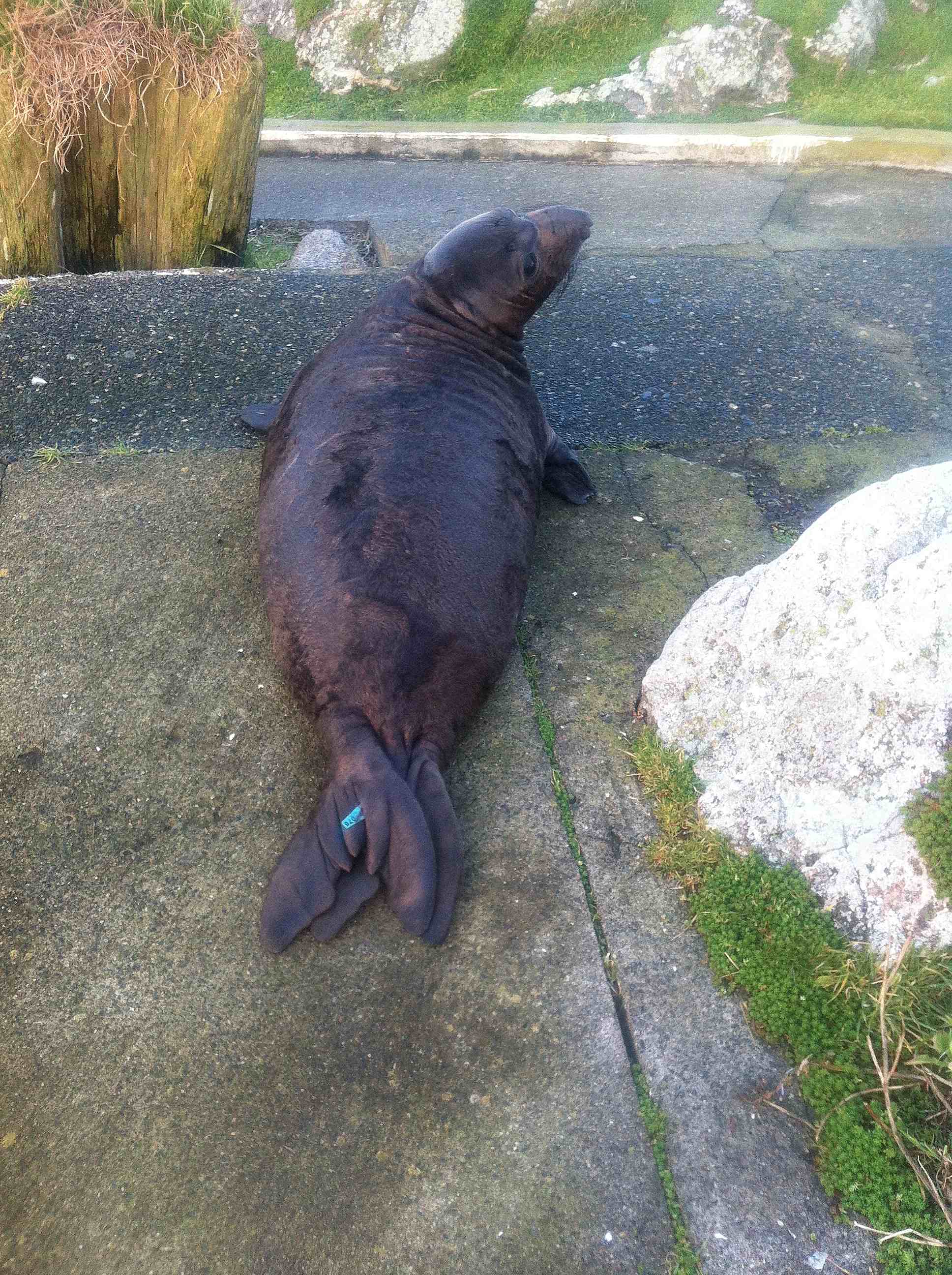
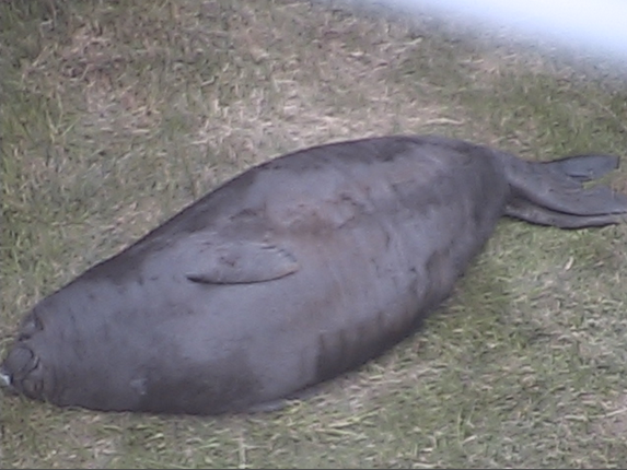
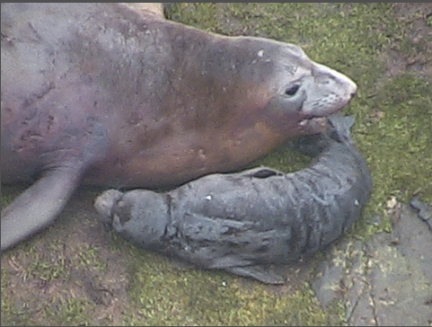
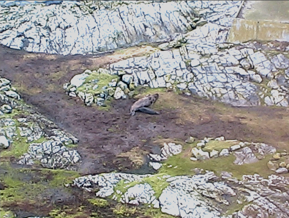
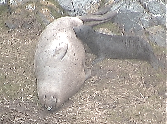
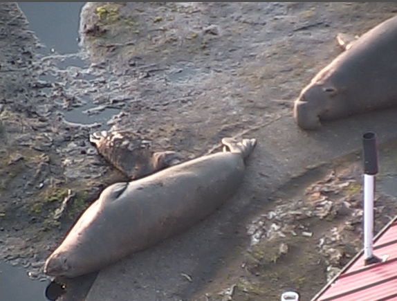
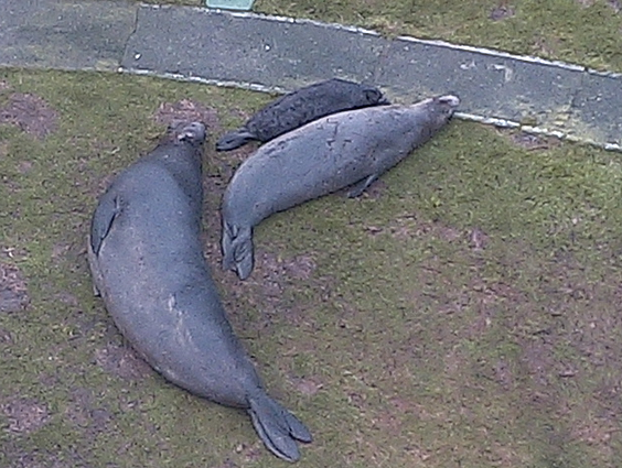
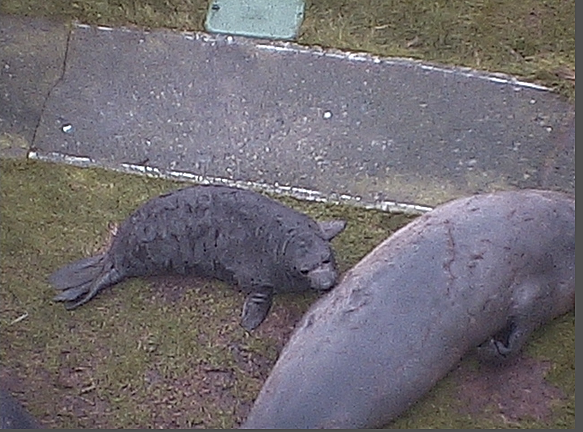
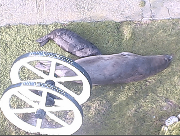
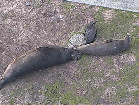
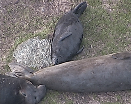
There is little quantitative evidence that the organisms of Race Rocks respond directly to changing barometric pressures. However, it is to be noted that most birds possess a sensory organ that does respond to changing pressure. An organ in the middle ear called the Vitali organ or the Paratympanic Organ detects pressure changes, warning them to take cover before a storm arrives. Birds will also interrupt migration when there is a hurricane approaching. It is also obvious that changes in wind patterns, so closely tied to changing barometric pressure, influence foraging patterns, social interactions and timing of activity. See this file for an example of a snow storm when there were no birds at Race Rocks. The overwintering populations of gulls and cormorants were back the next week.

Research Idea: Track barometric changes at Race Rocks, and do behavioural observations using the remote control camera. Try to find out if there is a correlation between a rapidly changing pressure and bird behaviour. Things to control for in your study:

 Temperature and present wind conditions ( velocity and direction).
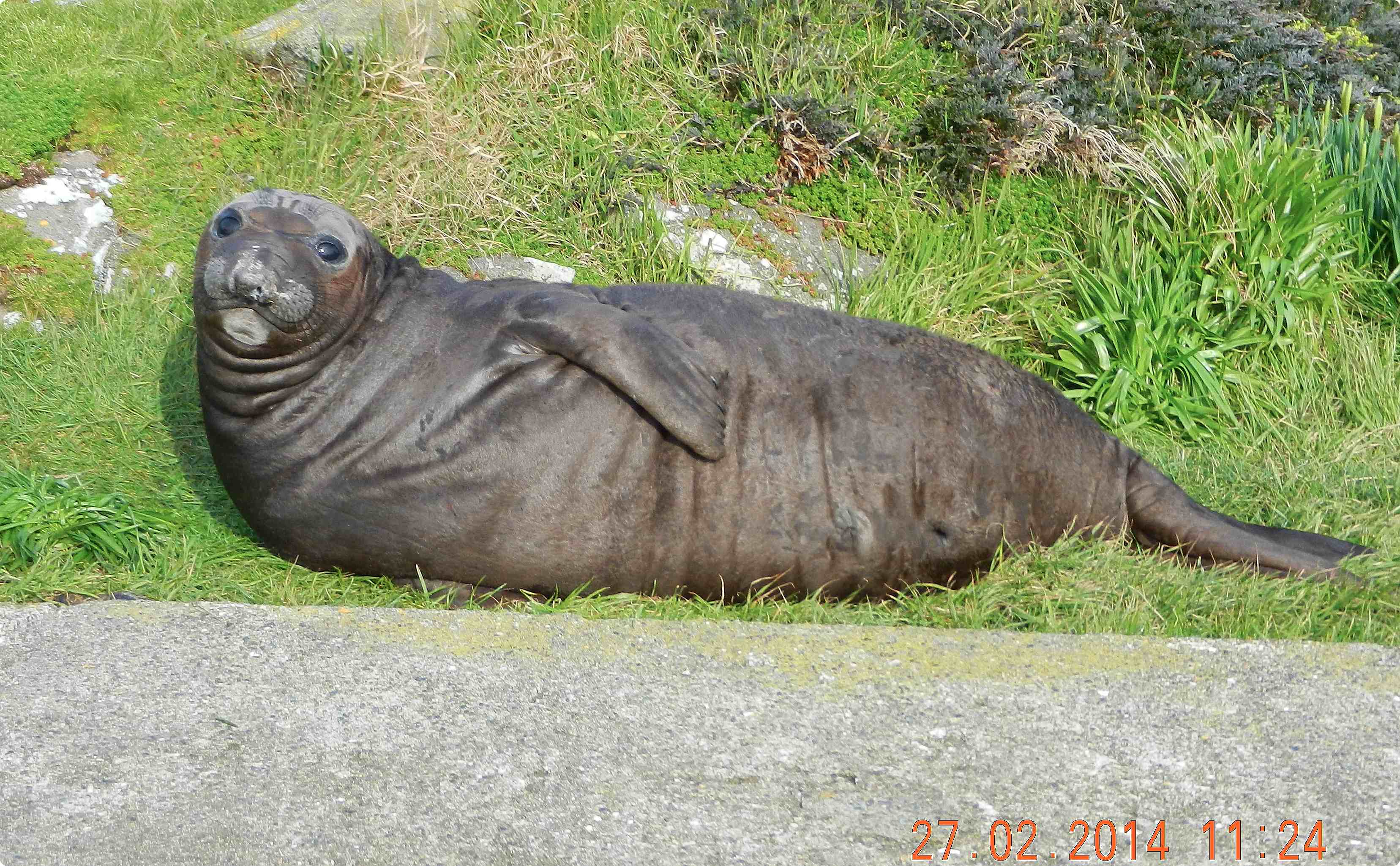
Research elsewhere has shown that Bats are the only mammals that respond to pressure changes, because they also have a Vitali organ. See the quote below: “BAT BAROMETERS SIGNAL MEAL TIME” By Sean Henahan, Access Excellence “CHAMPAIGN, Ill. –

Bats appear to use a built in barometer to determine the chances of a good nights bug hunting, according to a study by Ken Paige of the University of Illinois Institute for Environmental Studies. Paige spent nearly a year monitoring the dining habits of a colony of eastern pipistrelles, a cave-dwelling bat commonly seen in western Illinois. He found that the bats emerged in larger numbers when barometric pressures dropped and insects were numerous. He noted that the number of insects declined dramatically and that fewer bats left their roost when air pressure increased. Indeed, barometric pressure alone explained 87 percent of the variation in bat activity, he noted: “My research strongly suggests that the eastern pipistrelle uses barometric pressure as a cue for predicting the relative abundance of aerial insect prey outside their roost. Barometric pressure is the only physical environmental cue available to a bat roosting deep within a cave. All other variables such as light, temperature, relative humidity and wind currents are virtually constant. When air pressure is low, aerial insects are abundant, and bats respond by leaving the roost to forage.” The bats built-in barometer is likely to be its Vitali organ, a middle-ear receptor that is thought to help birds measure air pressure. Bats are the only mammals to have such a sensory organ. Paige’s bat-watching also showed that bats track barometric pressure metabolically. When the barometer fell, the bats slowed down their metabolisms, allowing them to conserve energy. By doing so, they can delay or eliminate the need for entering torpor, a sluggish state of dormancy that makes them susceptible to predators. In addition, the bats’ tracking of metabolic pressure may function as a bet-hedging strategy, he said “When pressure is low, insects are most abundant, except during heavy rain,” he said. “Because it is unlikely that bats can detect the rain from deep inside a cave, they have to fly out of the roost to check. This is no problem, however, because at low pressure they already are running on an economy setting and will waste minimal energy if they find their trip to the outside is a waste of time.” Because they already are conserving energy, he added, they can extend the benefit of their previous meal. Thus barometric-pressure tracking can be viewed as an alternative evolutionary strategy to torpor, he explained. This results of this research project appeared in the June issue of the British journal Functional Ecology.”.

Accessed January 2014: at:  http://www.accessexcellence.org/WN/SUA06/batsense.html


Elephant seal Pup now a Weaner.

“Weaner” — That’s the name all elephant pups receive after their mother has nursed them for up to 28 days and then leaves them suddenly in the night and returns after a month on land  to the sea.

PUP2014-02-08 at 10.29.29 AM

When I first looked on the camera, I could see Chunk on the north side of the steel hose-reel box, but no pup!

On Sunday morning, Feb 8, I received an e-mail from Pam in England pointing out that Bertha was gone.  When I first looked on the camera, I could see Chunk on the north side of the steel hose-reel box, but no pup.

PUP2014-02-08 at 10.43.57 AM

The pup shows up as the shadow of the lighthouse moves back.


A few minutes later the shadow of the Lighthouse had moved and  25 days after being born, our pup was certainly all alone on the lawn. Bertha was nowhere to be seen ..

PUP2014-02-09 at 9.35.11 AM

Morning of Day 2 for the weener.


DAY 2 not much has changed.. The pup will get a lot of sleeping time as it matures, and lives off the fat it has accumulated.  The aerial in the foreground is that used by Environment Canada to transmit signals from its temperature, barometric and wind data from the top of the  tower.


PUP2014-02-09 at 9.36.51DAY2 AM

This starts what will be almost a month of fasting before the fat stores are used up and the pup will go to the ocean. This  evening  and tomorrow it may experience  snow and rain before the weather  warms up.


Now that the pup has survived this long we are about to give it a name. We have decided to use a name from the First Nations Klallum language. — stay tuned..

Ship Traffic in the Strait of Juan de Fuca

If you go to the website for tracking  marine vessels  (http://vtslite.siitech.com/VTSLite/AView.aspx ) you can see the vessels currently in the waters around Race Rocks. Today I checked and at one time noted the four vessels indicated on the chart below.

mapandships Today the wind is blowing from the north-east  at 5o Km ph.
I took a picture from Camera1 of the tanker Pacific Endeavor just south of Race Rocks :

figure-3-overall-risks-oil- spills

With the projected increase in traffic of tankers in the Strait of Juan de Fuca, the risk of an oil spill doubles.See this recent government report on Risk Analysis. 

Elephant Seal Pup up to the Third week.

Pictures taken from birth on January 14 to February 1 from the Remote Camera 1

B.C. coast, St. Lawrence estuary most at risk for major marine oil spill: report

Adapted from the Times Colonist at his link: http://www.timescolonist.com/opinion/b-c-coast-st-lawrence-estuary-most-at-risk-for-major-marine-oil-spill-report-1.806714

The Canadian Press January 29, 2014 01:24 PM   OTTAWA — A government-commissioned risk analysis says the coast of southern British Columbia and the Gulf of St. Lawrence are the Canadian areas most vulnerable marine oil spills and among the most likely for a major spill to occur. The findings will add to the debate over several pipeline proposals — including two in B.C. that the report says will substantially increase marine risks. The 256-page study, delivered this month to Transport Canada, looks at the risks associated with marine oil spills south of the 60th parallel under current shipping volumes.

race-rocks-lighthouse

The southern tip of Vancouver Island — including Race Rocks — is among sites considered vulnerable to oil spills. Photograph by: Dan Kukat

It identifies the southern tip of Vancouver Island, the Cabot Strait off Newfoundland, the eastern coast of Cape Breton Island and the Gulf of St. Lawrence as the most probable areas for a major oil spill. But the study also assesses the potential impact of four proposed pipeline projects, including the Northern Gateway Pipeline to Kitimat and Kinder Morgan’s plan to almost triple its Trans Mountain line into Vancouver. The report says the Kinder Morgan proposal would essentially double oil traffic in an already vulnerable marine environment — with a corresponding increase in spill frequency — while the Northern Gateway marine route would turn what are currently very low, near-shore risks into very high risks. The study found that reversing Enbridge’s Line 9 to carry Western Canadian crude to refineries in Montreal and Quebec City would actually lower marine spill risks, as it would reduce oil imports through the sensitive Gulf of St. Lawrence. And the study found that the proposed Energy East Pipeline to St. John, N.B., would likely be a wash, reducing shipping imports but increasing oil exports to leave the overall marine risk about where it is now. © Copyright Times Colonist

Also see:

B.C. coast, St. Lawrence Estuary most at Risk for Major Marine Oil Spill: Report

Elephant Seal Pup …putting on weight !

It has been very foggy yesterday so missed seeing the elephant seal pup. I was surprised to see this morning the size he has attained. At 13 days old, gaining  4.5 kg or 10 lbs per day , the pup would have gained  58.5kg or 130 lbs since birth.

At birth pups weigh 75 pounds (35 kg) or more and are about four feet (1.25 m) in length.  This figure comes from research done in California. No one has yet done research for recording  the growth rates for elephant seal pups at Race Rocks Ecological Reserve.

The pups nurse for about 28 days, generally gaining about 10 lbs (4.5 kg) a day.

elephant seal pup2014-01-26 at 10.28.40 AM

Every morning they are in a different location because the pursues the female the previous night.

I took the following pictures from the Remote Camera 1:

elephant seal pup 2014-01-26 at 10.41.50 AM

Note the dark patches on Berthas breast are the locations on nipples.

jan262014pup1

Both mother and pup still sleeping.


A good source of scientific data on Elephant seal growth rates and survivorship  can be found in a 1994 publication : Le Boeuf, Burney J., and Richard M. Laws, editors Elephant Seals: Population Ecology, Behavior, and Physiology. Berkeley:  University of California Press,  c1994 1994. http://ark.cdlib.org/ark:/13030/ft7b69p131/