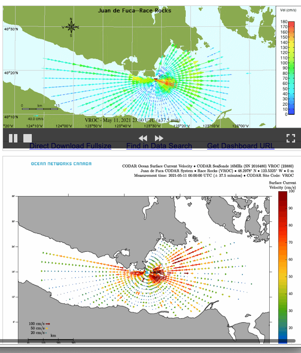
Click on this image for the data display on the Ocean Networks Canada website:
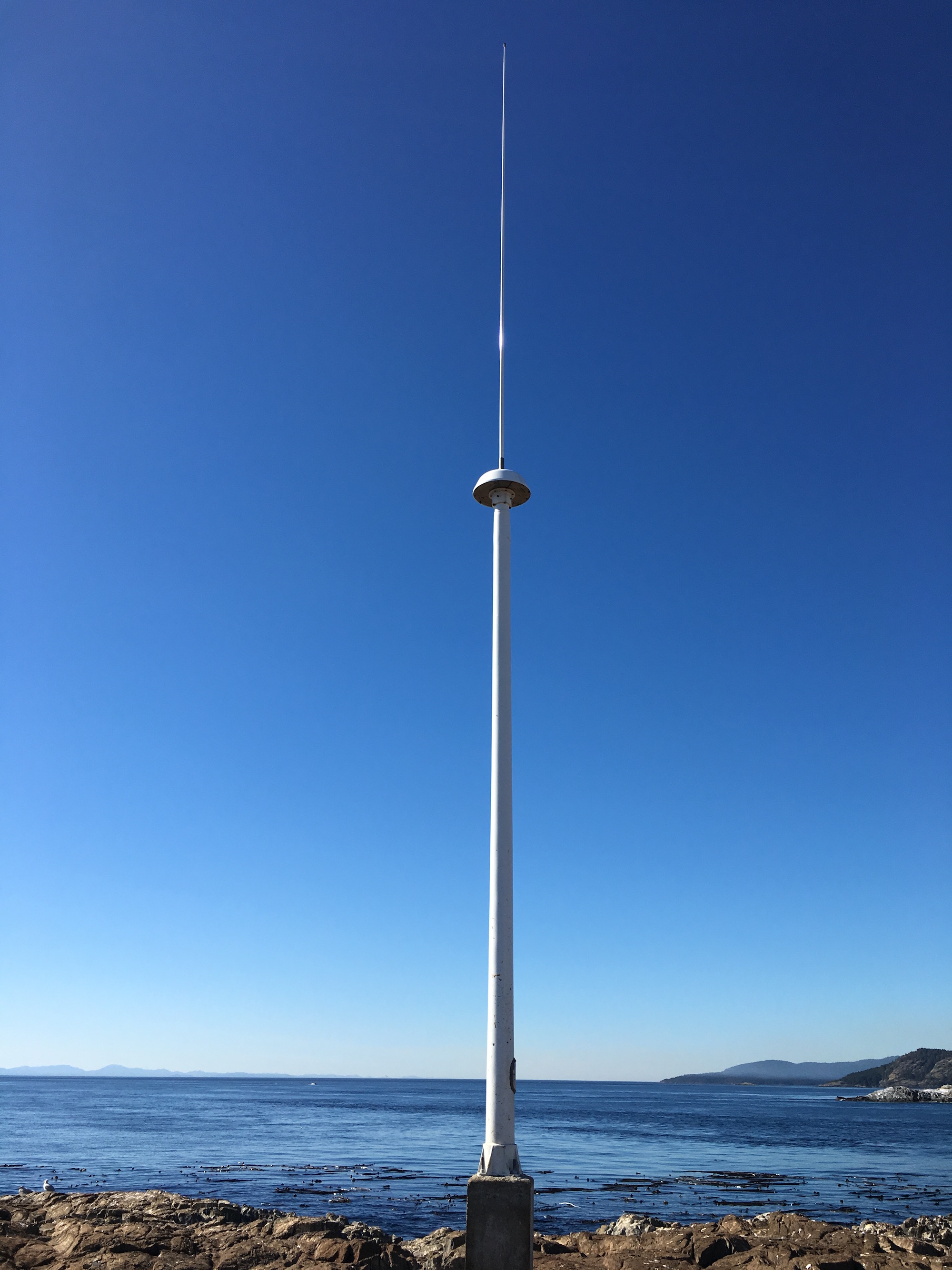
 CODAR SeaSonde continuous surface current mapping and wave monitoring HF radar system.
This is taken from this page: http://vocab.nerc.ac.uk/collection/L22/current/TOOL1366/
| http://vocab.nerc.ac.uk/collection/L22/current/TOOL1366/ | |
| SeaVoX Device Catalogue | |
| Preferred Label | CODAR SeaSonde continuous surface current mapping and wave monitoring HF radar system |
| Definition | A high-frequency radar system designed for fixed deployment on the shore or on offshore structures. It measures continuous sea-surface current velocities and wavefield conditions such as significant wave height, dominant on-shore direction and dominant wave period. The CODAR SeaSonde transmits radio waves, receives Doppler-shifted reflected signals and processes the resulting data into radial ocean current velocities. The data from two or more radial stations can be combined into total velocities, i.e. ocean currents resolved into their N-S and E-W components. Total velocities are available only in regions of overlap with other stations. For wave measurements, the SeaSonde works on the principal of Bragg scattering; radial stations detect radar backscatter from ocean waves with wavelengths one-half the radar wavelength. The radar system is available in three configurations: Standard, Hi-Res and Long-Range. The SeaSonde’s spatial range varies from 15 – 220 km (dependent on the configuration), and offers 360 degrees coverage. The angular resolution is a 1-5 degree grid and is user selectable. Significant wave height accuracy is 7-15 percent, dominant on-shore direction accuracy is 5-12 degrees, wave period accuracy is 0.6 s, current accuracy is typically <7 percent of the total current velocity. |

