A Big Storm + Lots of Birds! (census)

Weather Today: 

  • Visibility 14 NM
  • Sky partially overcast
  • 30-55 Knots SW
  • Sea state: swells up to 2m, otherwise 3-4+ ft chop

Visitors/Traffic: Nothing other than a few fishing and shipping vessels in the strait.

Ecological Notes: 

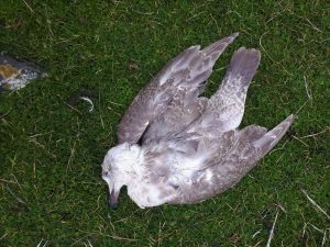
  • We found another apparently healthy gull dead today; this is the fourth one since the beginning of the month. We now have two preserved for necropsy, which we hope to transport to land soon to be investigated. They have all displayed the same odd symptoms: weakness in the wings progressing to unable to move, wings dropping to the sides, and unable to make any sound.
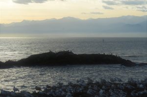
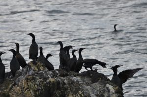
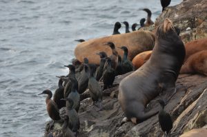
  • This week there have been an incredible number of cormorants in the reserve! An underrated bird, they are very fun to watch as they waddle, preen, and fish.
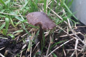
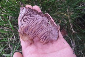
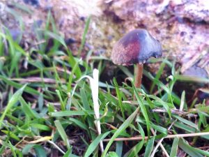
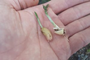
  • We’ve been noticing some fungi popping up around the island now that we are into the rainy season! Photos below. These are in addition to the shaggy mane mushrooms we found last spring fruiting beside the composters.
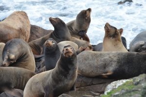
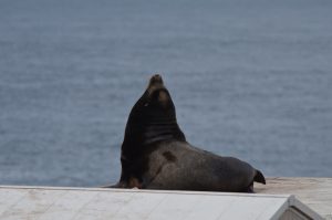
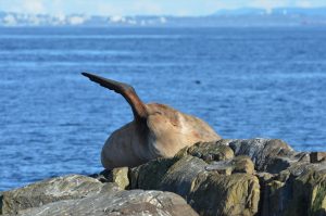
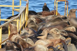
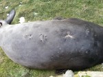
  • Last week we spotted another “neck wrap”: a california sea lion with some kind of pollution material embedded into his neck. Unfortunately it seems that he is no longer present in the reserve, making a rescue improbable.

Census:

  • 4 black oystercatchers
  • 1 dunlin
  • 1 ruddy turnstone
  • 9 black turnstones
  • 3 surfbirds
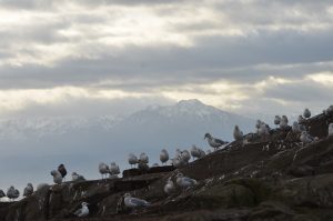
  • 500 Thayer’s gulls
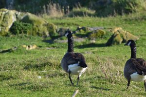
  • 17 Canada geese
  • 1550 Cormorants (wow!)
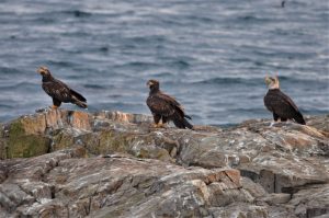
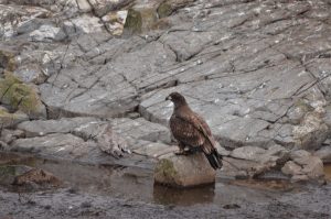
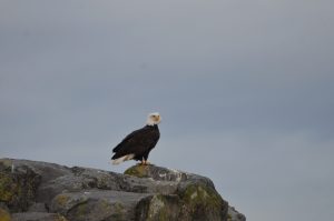
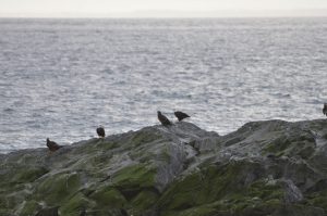
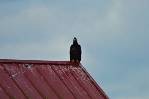
  • 2 bald eagles
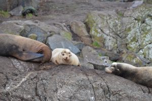
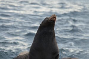
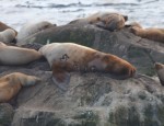
  • 100 stellar sea lions
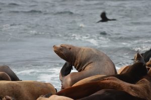
  • 502 California sea lions
  • 2 harbour seals

Ships Currently in the Area of Race Rocks, and the Associated Hazards

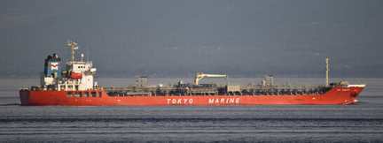
Shipping in the Strait of Juan de Fuca poses the greatest risk to the ecological integrity of the Race Rocks Ecological reserve. The risk of chronic oil spills increases directly with the Number of vessels in the waters. Chronic oil is a greater risk to marine life around the world than are the disastrous large spills, but the risk from both will increase if tanker traffic is allowed to proliferate in the Strait of Juan de Fuca:

These tagged posts detail the risk to this and other Marine Ecological reserves on southern Vancouver Island: https://www.racerocks.ca/tag/oil-spill/

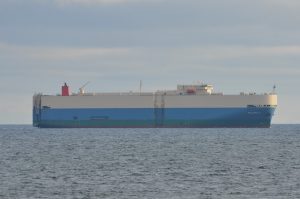
frontierLeadertankerOn this page we profile Marine Vessel Traffic Images which show how close they are to the Animals of Race Rocks


The live tracking image below shows the ships, their size and other details that are in the Strait around Race Rocks right now.

Either go to this site and create a username and password to access:

or use the more restricted map below:


View Larger Map

Problems with Marine Vessels and their risk for Race Rocks:

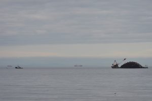
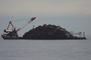
It has always been a concern that Race Rocks is located in a very vulnerable location in the Entrance to the Strait of Juan de Fuca. There is a need for regulations preventing the dumping of bilge and sewage from ships, and an emergency plan in the event of disaster from marine shipping.Shipping  Prshipwreckoblems:
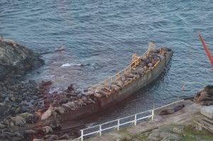
The history of shipping in the past in the area is grim evidence that accidents happen. A fuel or chemical spill in the Strait of Juan de Fuca would have an untold impact on the biodiversity of the Ecological reserve.shipwreckMajor Marine Vessel Casualty Risk and Response Preparedness in British Columbia
Prepared for Living Oceans Society
Sointula/Vancouver, BC Canada
by EnviroEmerg Consulting Services Cowichan Bay, BC Canada
Government of Canada Announces Ballast regulations, June 2006
Cruise Ship Problems:
Screen Shot 2014-04-01 at 9.35.14 PM
See the following reference link on potential problems from Cruise ships and how they can be rated for environmental safety with the Cruise Ship Environmental report card.Cruise Ship Dump Raises Alarm
Louise Dickson, Times Colonist
Thursday, May 08, 2003
The accidental dumping of raw sewage into Juan de Fuca Strait has renewed calls for stronger environmental regulations governing cruise ships.Norwegian Cruise Lines has confirmed that its ship, Norwegian Sun, dumped about 62,000 litres of raw sewage into American waters near Port Townsend, southeast of Victoria.
Victoria’s Cruise Ship Industry: Economic Benefits and their Environmental ImpactsBy: Elliot Houlston and Carly Daoust , 2005″Being that a cruise ship functions like a small city, it will pollute like a small city as well. In one week’s time a single cruise ships empties 210,000 gallons of sewage (human waste), 1,000,000 gallons of grey water (water from sinks, bathing and washing), 8 tons of solid waste (paper, plastic, cardboard, food waste) and 25,000 gallons of oily bilge water8. Some hazardous wastes such as photo chemicals and used paint are produced also. These are only the water pollutants created by cruise ships. There are many air pollutants as well.”Dirty Waters: Cashing in on Ocean Pollution 18 January 2010 in DC BureauBy David Rosenfeld
Return to Index of Environmental Disturbances to the ecosystem at Race Rocks

Photos from the past of couple weeks


Alaskan Frontier

AlaskanFrontier

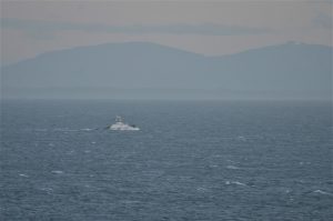
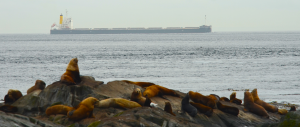
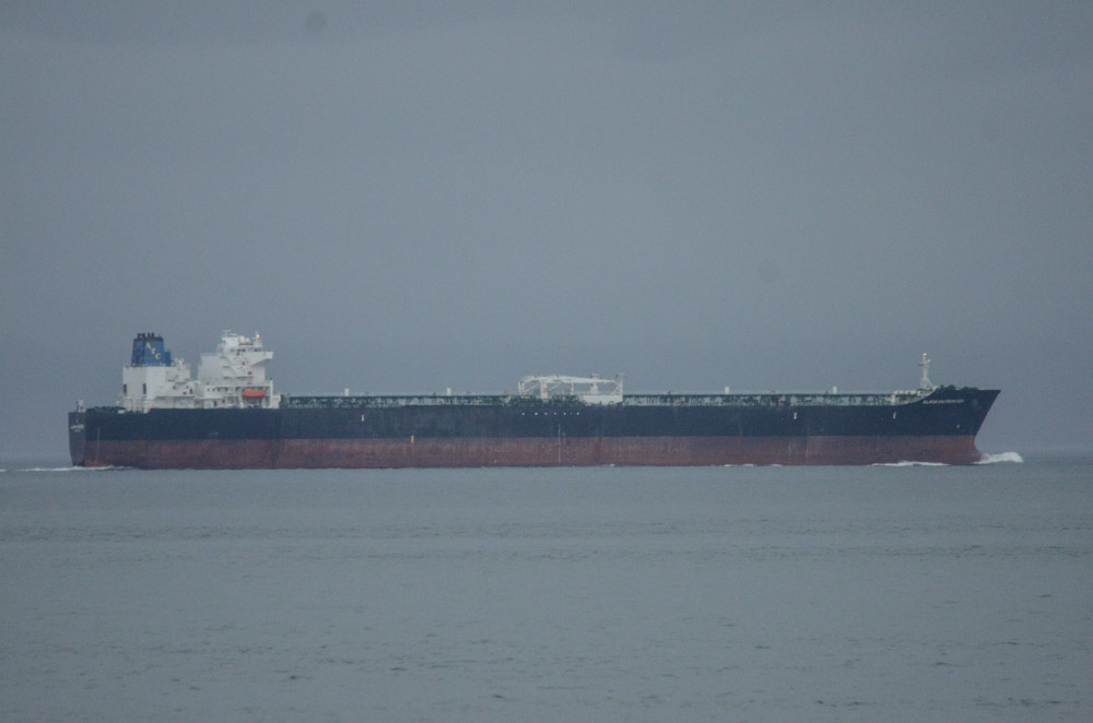
There is a constant flow of shipping traffic passing by Race Rocks to and from Seattle and Vancouver each day.  Once in a while there are ships that are very loud with a low, rumbling sound that I can hear and feel in the house as they pass by.  This oil tanker, the Alaskan Frontier, on its way West towards the infamous Port of Valdez, Alaska, was one of the loud ones.  The information below was obtained from http://ais3.siitech.com/VTSLite/AView.aspx which tracks all major marine traffic in the area.

This ship may have been louder than others because as is shown in the  photo it is sitting quite high out of the water, likely empty on its way to fill up on crude in Alaska.  Which means that when carrying a load it would be projecting this sound underwater, maybe louder, where sound travels further.  Which begs the question: how much noise pollution are we subjecting marine mammals to in this area? What impact does it have on their ability to communicate, hunt, and navigate?  It would be great to  be able to listen to the sound underwater and measure these sound levels at Race Rocks.

As well as the sound, there is the unregulated emissions from these ships.  On a clear busy day there is a haze that hangs over the ocean to the East.  Sometimes I can smell and taste diesel fumes out here when ships are miles away.  On top of this of course is the constant risk of an accident; it doesn’t have to be a tanker to spill fuel.

With the potential of an increase in tanker traffic and tanker size in this area, to handle increased production from the Tar Sands, the focus of environmental groups seems to be on the risk of increasing traffic.  I think the question we should be asking is what is the impact and risk of the existing traffic?  Are there any impact studies being done?  More broadly: Do we value the ocean more as an access route for cheap goods or as a habitat for marine life?  What is the true cost of cheap shipping?  What is acceptable risk?

On a related note, I have not seen many whales this winter.

Name ALASKAN FRONTIER
MMSI 366948190
IMO 9244659
Call Sign WDB7815
Type/Cargo Tanker:DG,HS,MP(A)
Length x Beam 286m x 50m
Draught 9.8m
Nav. Status Under way using engine
Last Seen UTC 3/13/2013 1:25 AM
Last Seen Local 3/12/2013 6:25 PM
Latitude 48°15.225’N
Longitude 123°33.623’W
Speed 16.1knt
Course 280.0°
Heading 281°
Rate of Turn 0°/min
Destination VALDEZ, AK
ETA 3/16/2013 6:00 AM
Pos. Accuracy High (<10m)
Pos. Fix. Dev. GPS