Introduced Ornamentals

Light North wind this morning. Strong Westerlies this afternoon. Rain with periods of sun.

1 tour boat

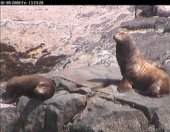
This morning was the first time this Spring that there have been a few California Sea lions resting on the end of the jetty.

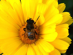
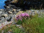
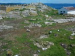
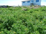
With Spring mostly here, many of the introduced ornamental plants are flowering. This isn’t a complete plant inventory, just a selection of plants that I noticed on my photo walk. The terrestrial plants at Race Rocks are dominated by introduced and invasive species. This is something that occurs at most light stations. There is a long history of trying to make the light stations look “like home”; Which is usually done by introducing hardy ornamental plants that can survive (although only a few thrive) on remote, salt and wind blasted light stations. Continue reading

Ships Currently in the Area of Race Rocks, and the Associated Hazards

Shipping in the Strait of Juan de Fuca poses the greatest risk to the ecological integrity of the Race Rocks Ecological reserve. The risk of chronic oil spills increases directly with the Number of vessels in the waters. Chronic oil is a greater risk to marine life around the world than are the disastrous large spills, but the risk from both will increase if tanker traffic is allowed to proliferate in the Strait of Juan de Fuca:

These tagged posts detail the risk to this and other Marine Ecological reserves on southern Vancouver Island: https://www.racerocks.ca/tag/oil-spill/

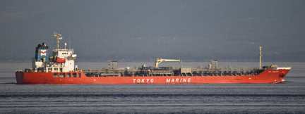
frontierLeadertankerOn this page we profile Marine Vessel Traffic Images which show how close they are to the Animals of Race Rocks


The live tracking image below shows the ships, their size and other details that are in the Strait around Race Rocks right now.

Either go to this site and create a username and password to access:

or use the more restricted map below:


View Larger Map

Problems with Marine Vessels and their risk for Race Rocks:

It has always been a concern that Race Rocks is located in a very vulnerable location in the Entrance to the Strait of Juan de Fuca. There is a need for regulations preventing the dumping of bilge and sewage from ships, and an emergency plan in the event of disaster from marine shipping.Shipping  Prshipwreckoblems:
The history of shipping in the past in the area is grim evidence that accidents happen. A fuel or chemical spill in the Strait of Juan de Fuca would have an untold impact on the biodiversity of the Ecological reserve.shipwreckMajor Marine Vessel Casualty Risk and Response Preparedness in British Columbia
Prepared for Living Oceans Society
Sointula/Vancouver, BC Canada
by EnviroEmerg Consulting Services Cowichan Bay, BC Canada
Government of Canada Announces Ballast regulations, June 2006
Cruise Ship Problems:
Screen Shot 2014-04-01 at 9.35.14 PM
See the following reference link on potential problems from Cruise ships and how they can be rated for environmental safety with the Cruise Ship Environmental report card.Cruise Ship Dump Raises Alarm
Louise Dickson, Times Colonist
Thursday, May 08, 2003
The accidental dumping of raw sewage into Juan de Fuca Strait has renewed calls for stronger environmental regulations governing cruise ships.Norwegian Cruise Lines has confirmed that its ship, Norwegian Sun, dumped about 62,000 litres of raw sewage into American waters near Port Townsend, southeast of Victoria.
Victoria’s Cruise Ship Industry: Economic Benefits and their Environmental ImpactsBy: Elliot Houlston and Carly Daoust , 2005″Being that a cruise ship functions like a small city, it will pollute like a small city as well. In one week’s time a single cruise ships empties 210,000 gallons of sewage (human waste), 1,000,000 gallons of grey water (water from sinks, bathing and washing), 8 tons of solid waste (paper, plastic, cardboard, food waste) and 25,000 gallons of oily bilge water8. Some hazardous wastes such as photo chemicals and used paint are produced also. These are only the water pollutants created by cruise ships. There are many air pollutants as well.”Dirty Waters: Cashing in on Ocean Pollution 18 January 2010 in DC BureauBy David Rosenfeld
Return to Index of Environmental Disturbances to the ecosystem at Race Rocks

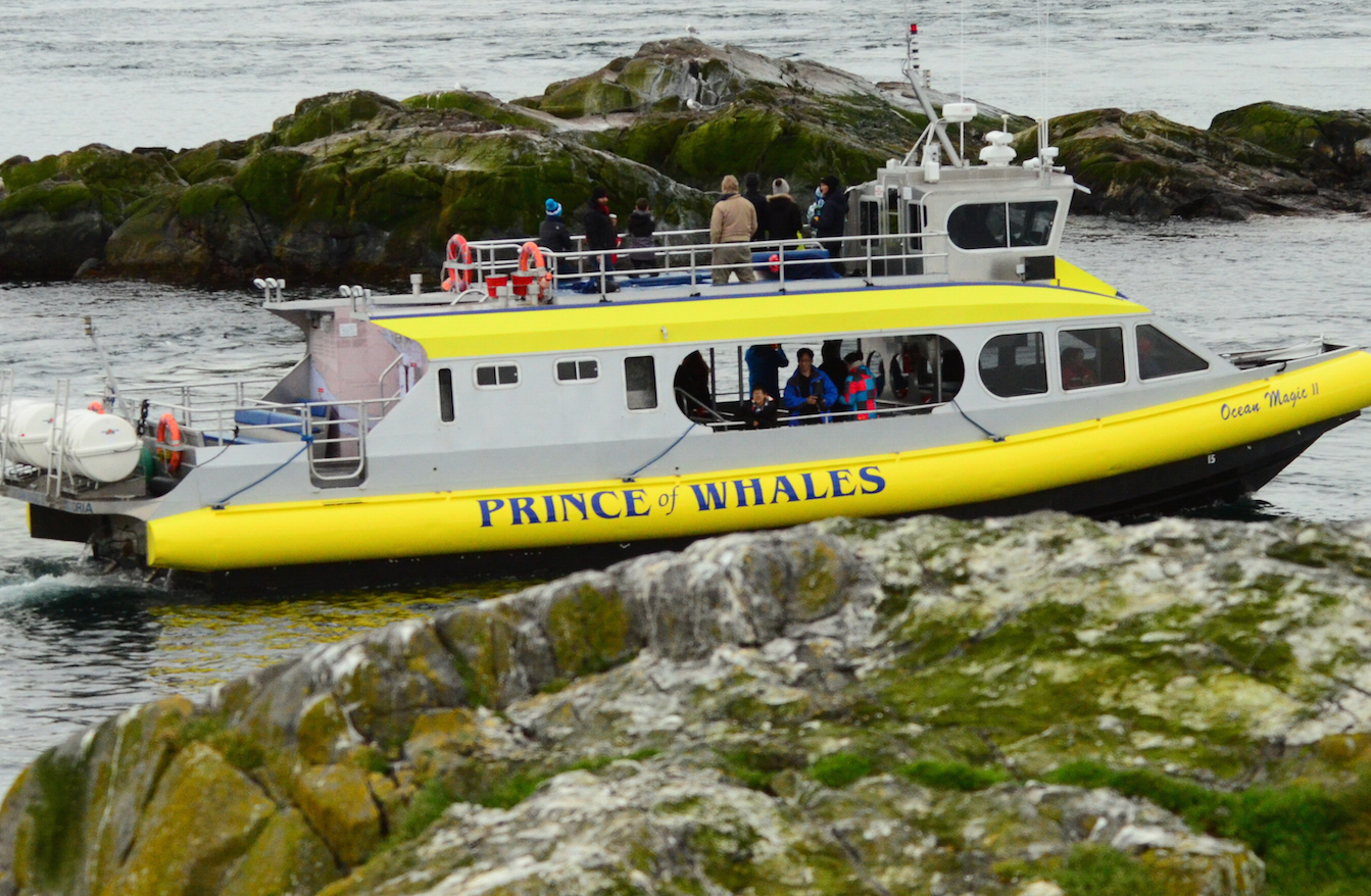
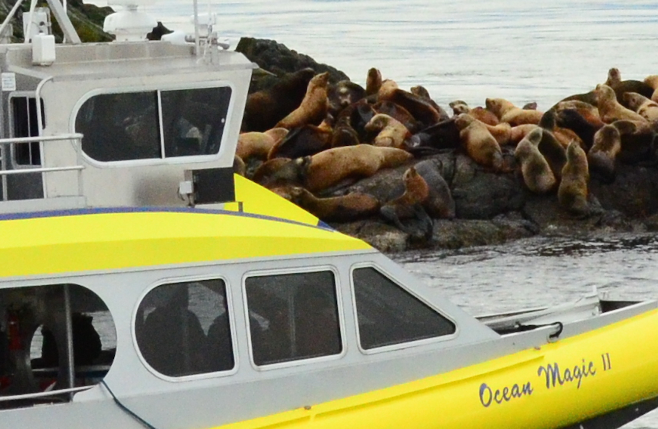
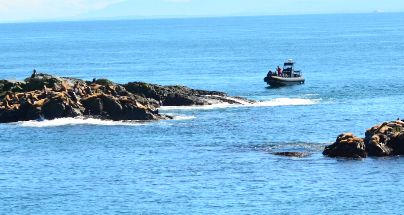
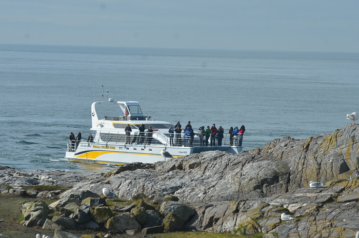
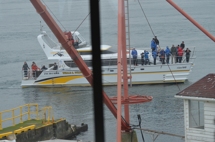
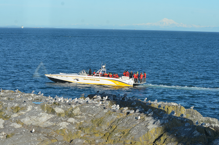
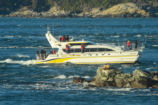
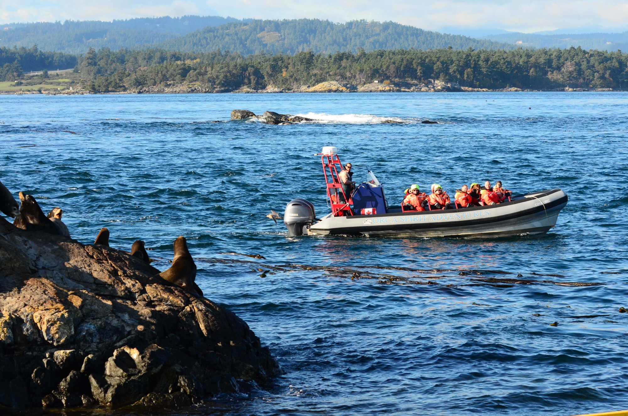
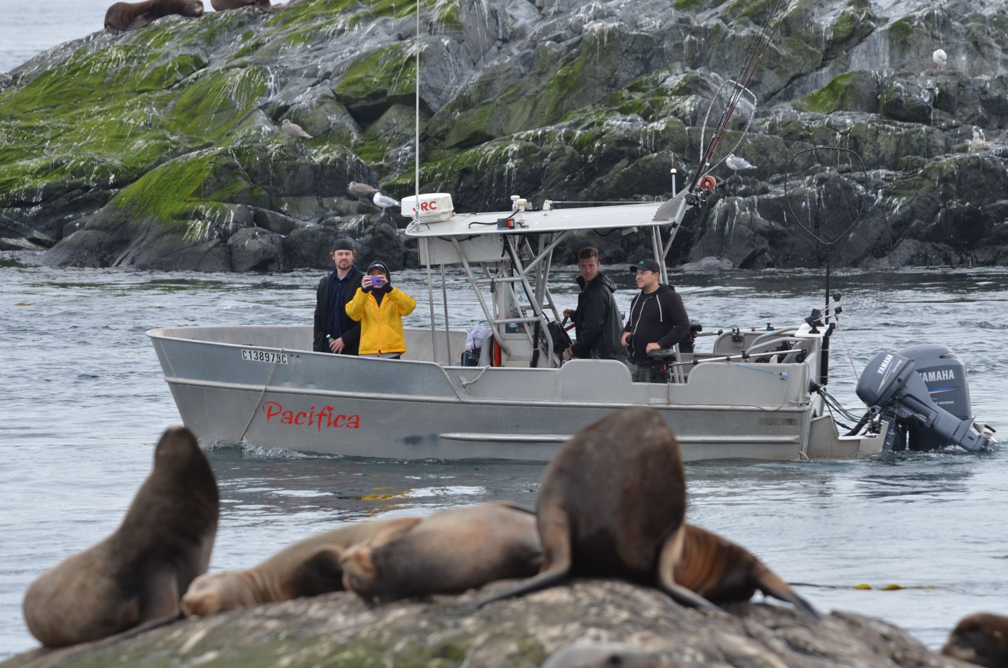
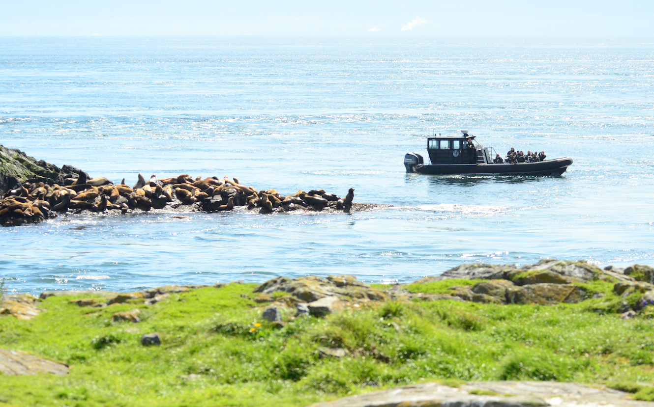
Ecotour Boats at Race Rocks–Observations on Human Impact.

 The Problem with Ecotourism boats:
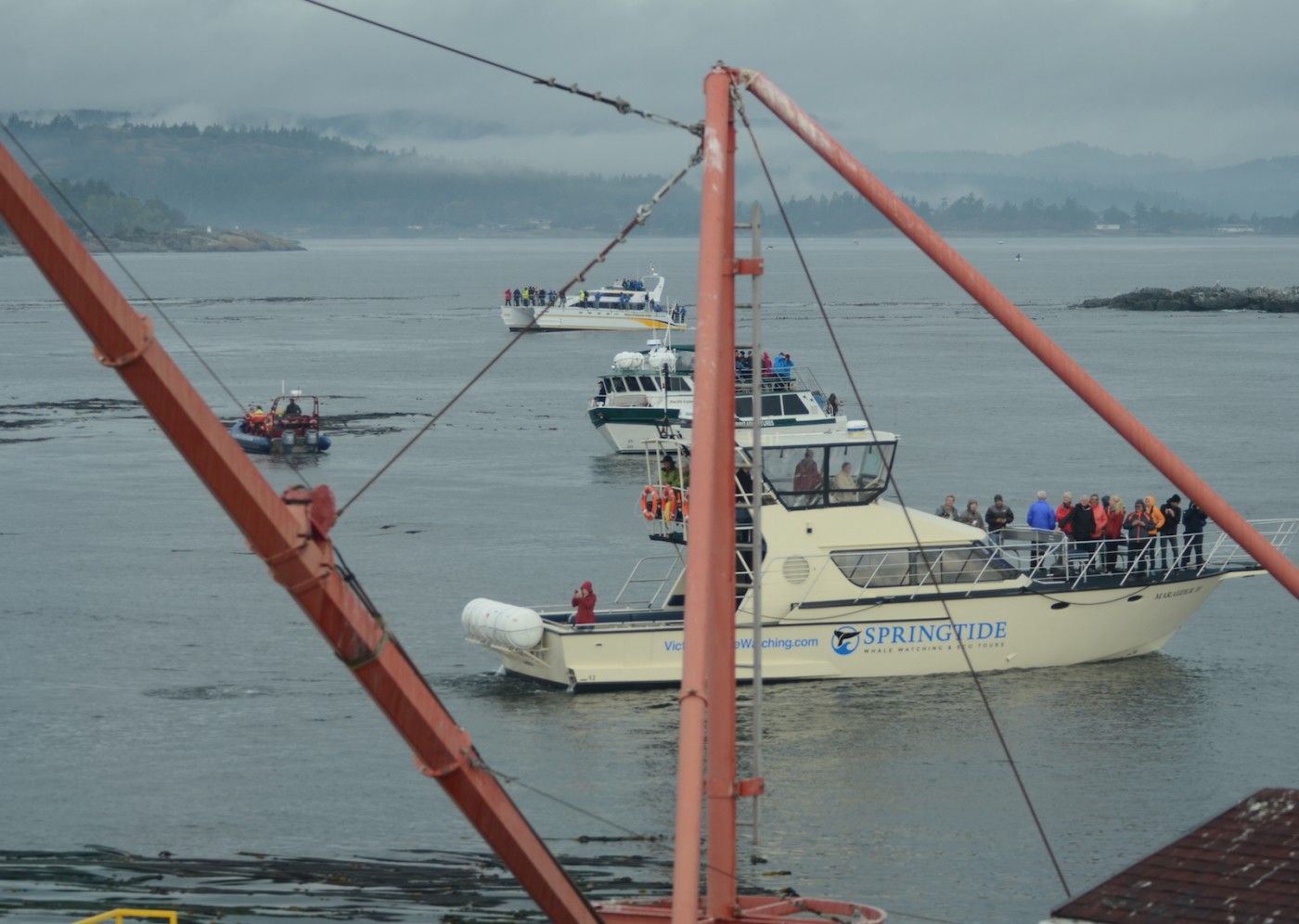
pod of whale watchers

Might this not be too great a concentration of whale-watching boats , Sept 20, 2015

We are well aware that the marine ecotourism industry is important to the economy of the Victoria and Sooke area, and over the years have had  good record of cooperation with the whale watching companies in the observation of regulations for marine mammal and bird viewing at Race Rocks. There are times however when the operation of individuals in their fleet of vessels within the reserve is not in keeping with the ultimate goal of ensuring sustainability of this resource.

The Recommendations for Marine Mammal observation at Race Rocks:

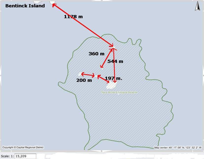
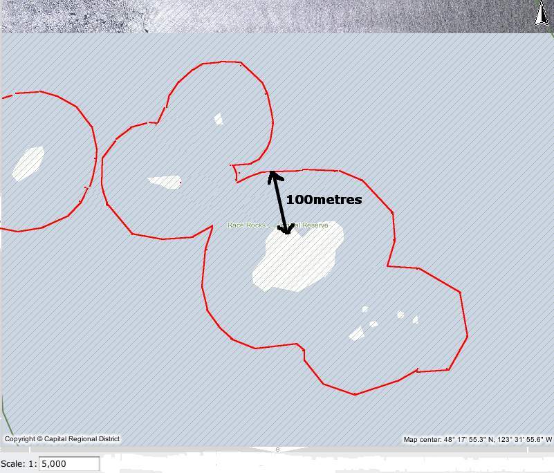
These two maps show the reality of the distances involved at Race Rocks:

The regulations for Marine bird and mammal viewing as DFO policy is 100 metres. In the early negotiations about a marine protected area for Race Rocks, stakeholders agreed that the distance between the middle islands and Great Race be in under 200 metres would preclude any vessel from using that passage. It was agreed with the ecotourism community that they could transit that area near the centre line, either drifting  or slowly under motor.  The 200 metre zone would be respected however for all other parts of the Ecological Reserve .

The Pacific Whale-watch Association lists the folllowing regulations for the
RACE ROCKS SPECIAL OPERATING AREA

1. “Go Slow Zone” = 1/8 mile (220 yards) from any rock or landmass around Race Rocks.
2. Vessels will slow on their approach to Race Rocks such that speed at 1/8 mile (220 yards) from any rock or landmass is reduced to approx… 7 knots (minimal wake and wash, relative to the condition of the seas state at the particular time).
3. Vessels in the Go Slow Zone will remain as close to mid-channel as is practicable between the major rock outcroppings known as Great Race, North Race Rock, West Race Rock, and Helicopter Rock.
4. While in the Go Slow Zone vessels will transit the area with the current whenever conditions are suitable to do so. Drifting is encouraged relative to other boat traffic and where safe navigation is not compromised.
5. Vessels exiting the area may increase speed gradually outside the Go Slow Zone.
6. Vessels will remain 1/8 mile (220 yards) outside the Go Slow Zone whenever any whale species are present in the Race Rocks Reserve (Go Slow Zone).

This is the ” Be Whale Wise advice” from DFO for marine mammal viewing
Quote: from DFO: ” Why do we need guidelines?”
“The diversity and complexity of marine life in the coastal waters off British Columbia and Washington is truly extraordinary. It is a fragile world. Pollution, global climate change and other impacts are taking their toll at all levels of the coastal food web. Many species of marine wildlife, such as the endangered southern resident killer whales, are showing signs of vulnerability. Meanwhile, vessel traffic in our waters is steadily increasing, placing added pressures on marine animals and their habitats. We need to minimize our impact. These guidelines are designed to help you enjoy your wildlife encounter, and reduce the risk of disturbing marine wildlife.”

I have documented the History of how amendments to Marine Mammal Viewing regulations worked on over a decade have still not been included in the current Marine Mammal Viewing regulations at this post: https://www.racerocks.ca/?p=19751

Why we need updated regulations is clear from the following examples recorded at Race Rocks:   Also see this  tag for logs of vessel observations on viewing recommendations at Race Rocks.

rm070510eagwingnarrow

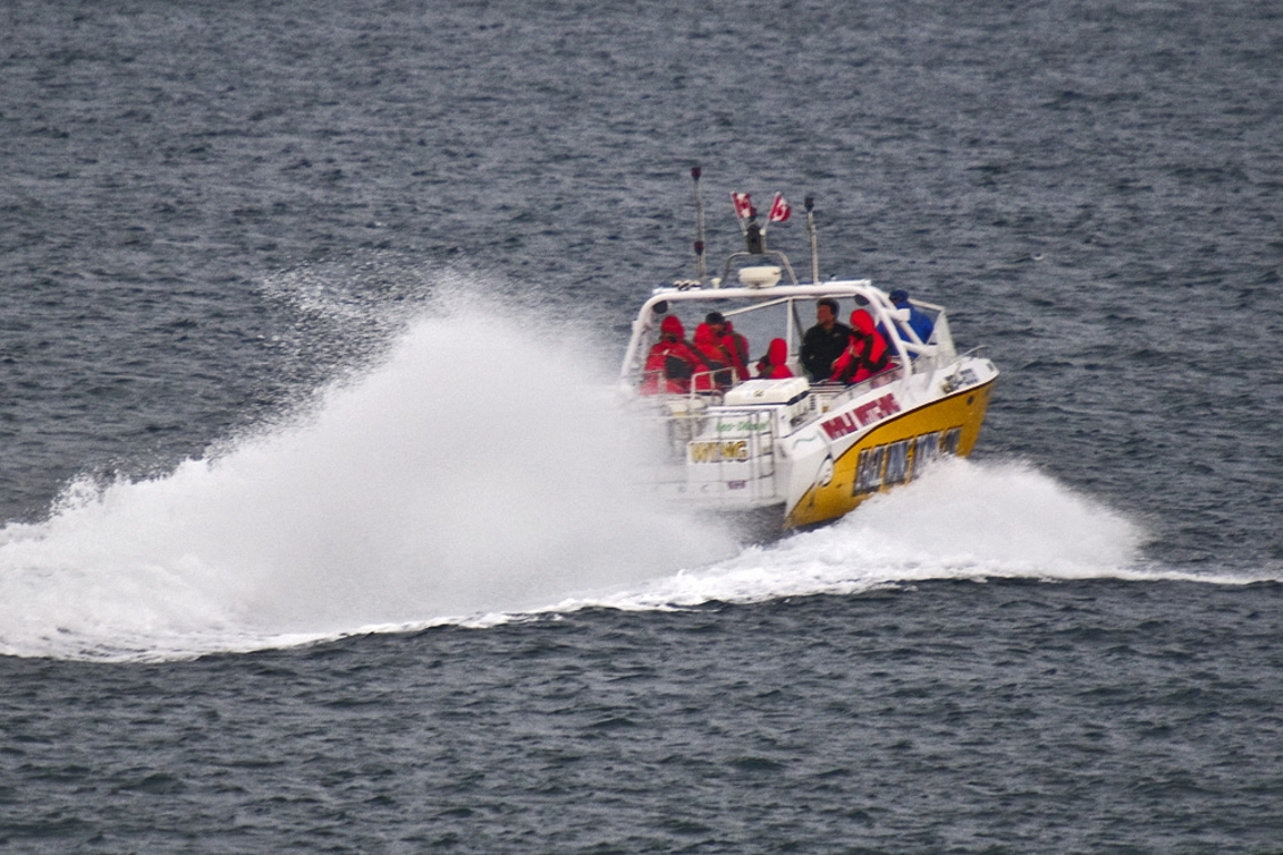
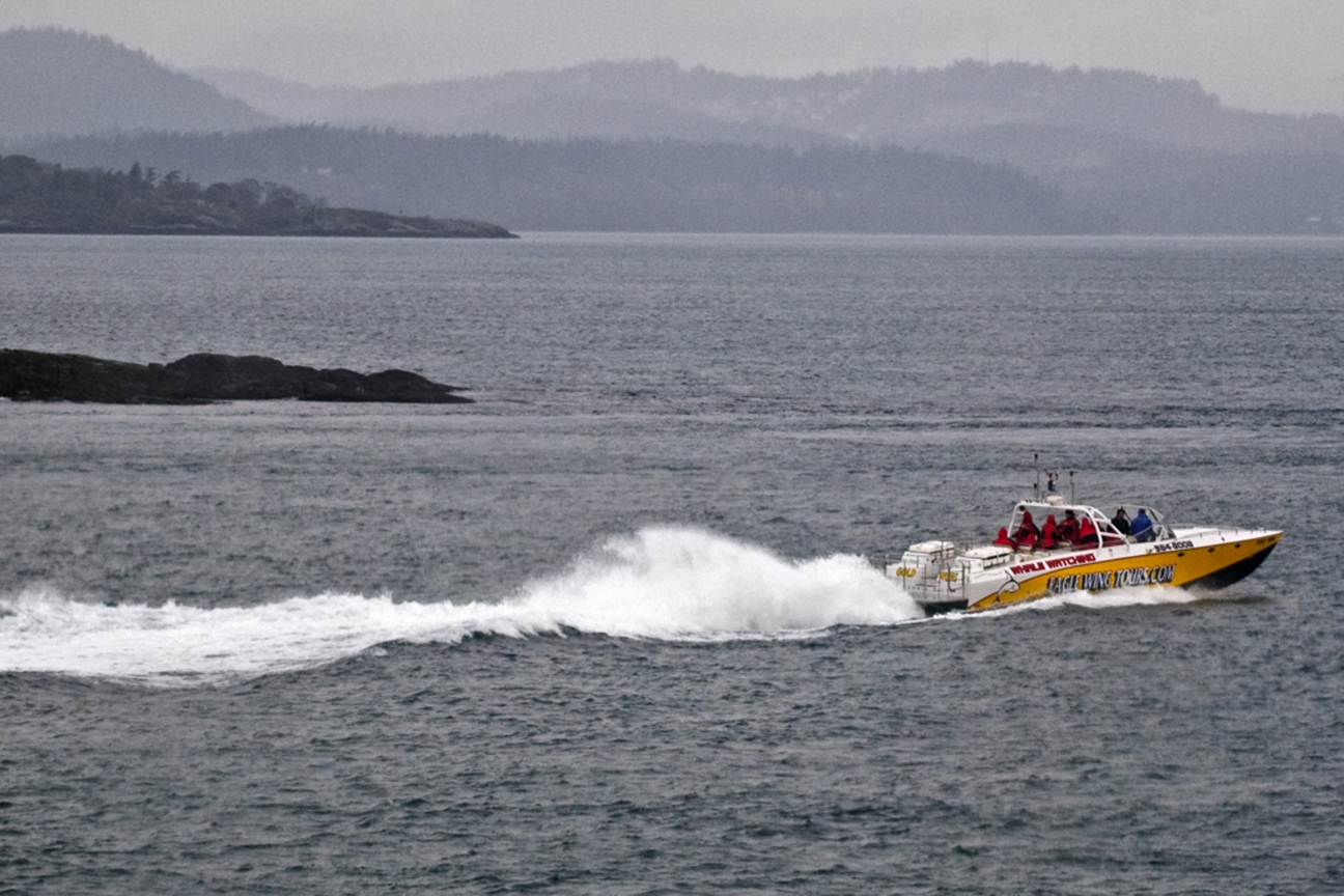
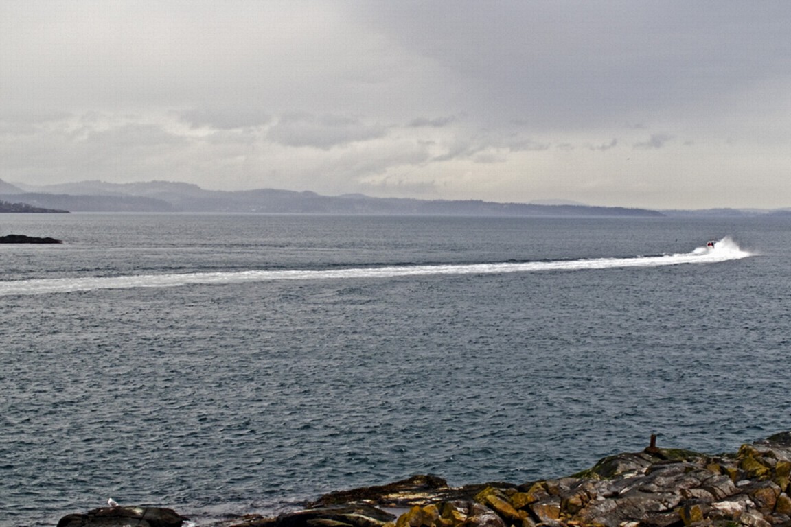
March 2010: Unfortunately there are a very few individuals in the whale watching industry who continue to give a bad name to the usually cooperative group of skippers and operators. The following sequence of images was taken on March6, 2010. The ecotour boat made a short tour of the reserve but was in a rush to leave, accelerating in the waters between Great Race and North Rocks creating wake as it sped out of the reserve.


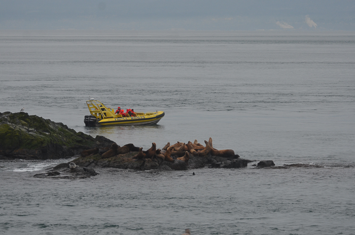
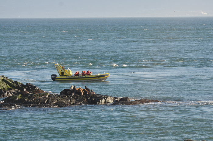
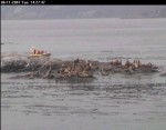
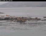
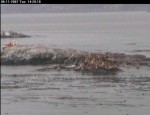
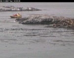
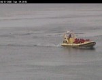
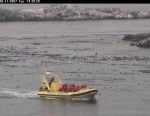
Below, a viewer on the remote camera 5 captures a sequence of one tour boat with an impact on the sea lions in November 2007.


Ecotourism can have both positive and negative effects. In this video, you see two ecotourist whale-watching boats from Victoria B.C. that demonstrate two methods of viewing marine mammals. The yellow boat, rounds the middle rock inside the kelp bed, much too close to the island which is covered with northern sea lions and a few California sea lions. Since the animals on the North side of the island do not see the boat coming at this close distance, they are startled and about 25 of them take to the water. The high profile of the boat is increased by the individuals standing on the top of the boat, probably adding to the scare value.

The white boat, comes down the main passage between Great Race and the middle rock. They have approached slowly, drift with the current and present very little impact on both the sea lions on the middle rock and the harbour seals hauled out on the main island down in the foreground. Missing from this video however is video of their departure from the reserve where they swing in very close to the end of the docks, causing a stampede of a dozen sea lions in that area.  Disturbance of any marine mammal colonies by vessel operators is against the law. Every time an animal has to change it’s behaviour because of human behaviour, there is a cost in terms of energy expenditure.


September 8, 2009: some whale watching boats still fail to stay a good distance off shore for viewing. It is questionable whether voluntary guidelines are adequate to ensure the ongoing sustainability of this resource as the number of whale watching boat visits continues to increase. In this video, the extent of ecotourism on a calm day and the effects on marine life are discussed.

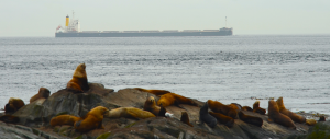
Ship Traffic in the Strait of Juan de Fuca

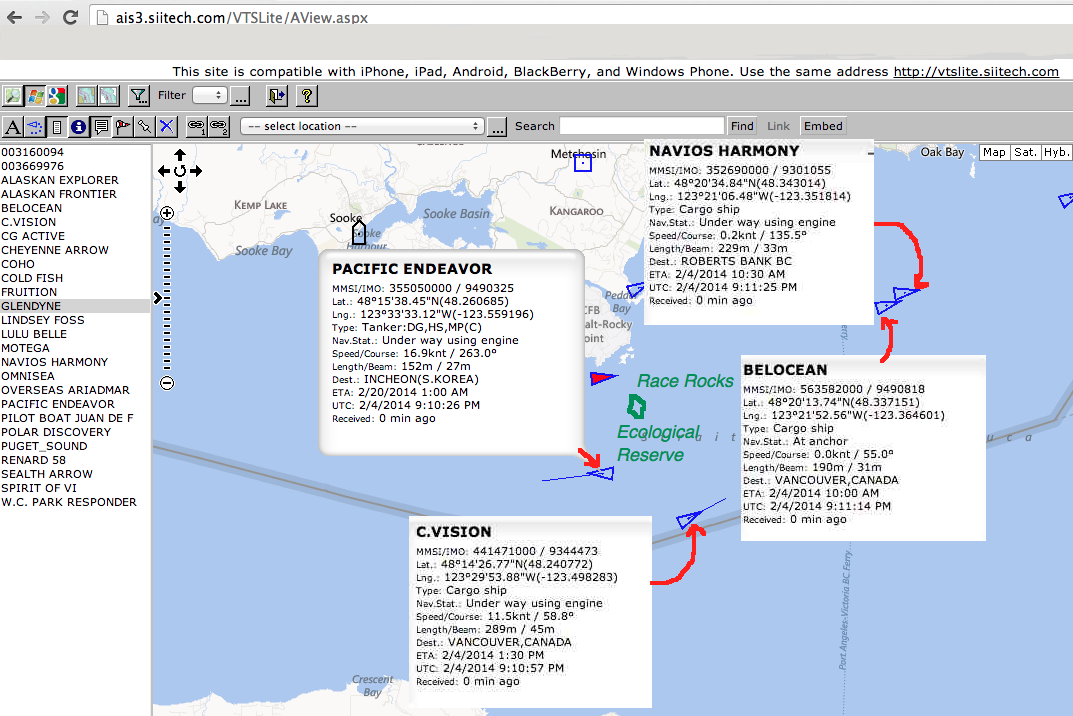
If you go to the website for tracking  marine vessels  (http://vtslite.siitech.com/VTSLite/AView.aspx ) you can see the vessels currently in the waters around Race Rocks. Today I checked and at one time noted the four vessels indicated on the chart below.

mapandships Today the wind is blowing from the north-east  at 5o Km ph.
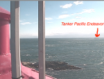
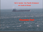
I took a picture from Camera1 of the tanker Pacific Endeavor just south of Race Rocks :

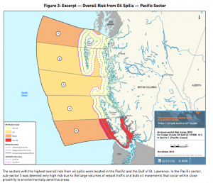
figure-3-overall-risks-oil- spills

With the projected increase in traffic of tankers in the Strait of Juan de Fuca, the risk of an oil spill doubles.See this recent government report on Risk Analysis. 

B.C. coast, St. Lawrence estuary most at risk for major marine oil spill: report

Adapted from the Times Colonist at his link: http://www.timescolonist.com/opinion/b-c-coast-st-lawrence-estuary-most-at-risk-for-major-marine-oil-spill-report-1.806714

The Canadian Press January 29, 2014 01:24 PM   OTTAWA — A government-commissioned risk analysis says the coast of southern British Columbia and the Gulf of St. Lawrence are the Canadian areas most vulnerable marine oil spills and among the most likely for a major spill to occur. The findings will add to the debate over several pipeline proposals — including two in B.C. that the report says will substantially increase marine risks. The 256-page study, delivered this month to Transport Canada, looks at the risks associated with marine oil spills south of the 60th parallel under current shipping volumes.

race-rocks-lighthouse

The southern tip of Vancouver Island — including Race Rocks — is among sites considered vulnerable to oil spills. Photograph by: Dan Kukat

It identifies the southern tip of Vancouver Island, the Cabot Strait off Newfoundland, the eastern coast of Cape Breton Island and the Gulf of St. Lawrence as the most probable areas for a major oil spill. But the study also assesses the potential impact of four proposed pipeline projects, including the Northern Gateway Pipeline to Kitimat and Kinder Morgan’s plan to almost triple its Trans Mountain line into Vancouver. The report says the Kinder Morgan proposal would essentially double oil traffic in an already vulnerable marine environment — with a corresponding increase in spill frequency — while the Northern Gateway marine route would turn what are currently very low, near-shore risks into very high risks. The study found that reversing Enbridge’s Line 9 to carry Western Canadian crude to refineries in Montreal and Quebec City would actually lower marine spill risks, as it would reduce oil imports through the sensitive Gulf of St. Lawrence. And the study found that the proposed Energy East Pipeline to St. John, N.B., would likely be a wash, reducing shipping imports but increasing oil exports to leave the overall marine risk about where it is now. © Copyright Times Colonist

Also see:

B.C. coast, St. Lawrence Estuary most at Risk for Major Marine Oil Spill: Report

The Future for our Elephant Seal Population?

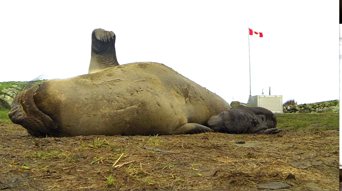
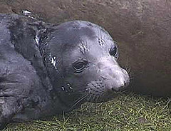
Female elephant seal and pup born at Race Rocks , January 14, 2014

A goodbye wave?? Female elephant seal and pup born at Race Rocks , January 14, 2014 : Alex Fletcher photo

British Columbians can take great satisfaction in the fact that an Elephant seal colony is being slowly established in British Columbia, and we can see an elephant seal pup being nursed via a webcam on an island within site of Victoria.  The reality is that the risks these animals face in the Strait of Juan de Fuca if they are to maintain a population increase are now becoming even more challenging.

Currently about 6,000 large commercial vessels transit Canadian and U.S. waters toward Vancouver or Washington ports each year. Each month about five large oil tankers ply the waters down the international border within a few kilometres of the Race Rocks Ecological Reserve.

Under the Kinder Morgan Pipeline Proposal, up to 34 tankers a month would be loaded with oil at a terminal outside Vancouver, then travel through Haro Strait and the Strait of Juan de Fuca for export to markets in Asia and the U.S.  These are tankers in excess of 200 metres in length. 

The $5.4 billion expansion project would nearly triple pipeline capacity from about 300,000 to 890,000 barrels of crude oil a day to meet customer demand. Much of that future cargo will likely be diluted bitumen from Canada’s tar  sands. If approved, the expansion is expected to be operational in late 2017. The pipeline is operated by Kinder Morgan Canada and owned by Houston-based Kinder Morgan Energy Partners LP.
The potential of collision and oil spills is unparalleled, and you can’t’ clean oil off a two ton marine mammal very easily let alone the volumes of marine life it consumes daily for survival. It would be a miracle indeed if we still have elephant seals at Race Rocks in 2020, the 40th anniversary of the Ecological Reserve. 

G.Fletcher

Link to other  posts on the Race Rocks website about the Risks we face with Increased Tanker Traffic

References we could all consider seriously:

  • Financial Liability for Kinder Morgan – Georgia Strait Alliance,

    “Residents of the Salish Sea region—Vancouver, Victoria, the Gulf Islands and Washington State—could see a four-fold increase in the number of oil tankers traveling from the Port of Metro Vancouver through Juan de Fuca Strait, if Kinder Morgan is permitted to build a new pipeline to carry oil from the tar sands to markets in Asia. Such a dramatic increase signals exponentially higher risk of oil spills and raises many questions about what is at risk, how the oil is “cleaned up”, and who pays for oil spill response. “

  • The Deepwater Horizon Oil Spill and Marine Mammals by the marine mammal Commission, an independent commission of the US government
  • Effects of Oil Spills on Marine and Coastal Wildlife“Oil spills can impact wildlife directly through three primary pathways: —ingestion – when animals swallow oil particles directly or consume prey items that have been exposed to oil .—–absorption – when animals come into direct contact with oil inhalation – when animals breathe volatile organics released from oil or from “dispersants” applied by response teams in an effort to increase the rate of degradation of the oil in seawater. ——inhalation – when animals breathe volatile organics released from oil or from “dispersants” applied by response teams in an effort to increase the rate of degradation of the oil in seawater”
  • Effects of Oil Pollution on Marine WIldlife ”  Seals are very vulnerable to oil pollution because they spend much of their time on or near the surface of the water. They need to surface to breathe, and regularly haul out onto beaches. During the course of an oil pollution incident, they are at risk both when surfacing and when hauling out.”
  • Marine mammals and the Exxon Valdez Auteur : LOUGHLIN Thomas R. “This recently published book is a unique longitudinal study of the demise of an ecosystem due to a single acute environmental perturbation.”

Pam Birley’s Images of Race Rocks 2004-2013

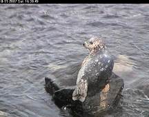
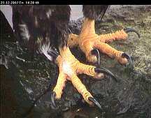
newportOn this page are links to the monthly photo diaries taken on the remote cameras at Race Rocks from 2004 to 2013  by the late Pam Birley of Leicestershire England These albums were due to her almost daily commitment for a decade.  She produced a valuable record of events with her unique screen captures from Camera 5 , Camera 1 and the underwater Camera 2.

September, 2010 October, 2010 November,2010 December 2010
May, 2010 June 2010 July 2010 August 2010
January, 2010 February, 2010 March 2010 April 2010
September 2009 October 2009 November 2009 December, 2009
May 2009 June 2009 July 2009 August 2009
January 2009 February 2009 March 2009 April 2009
December 2008 November 2008 October 2008 September 2008
August 2008 July 2008 June 2008 May 2008
January 2008 February 2008 March 2008 April 2008
January 2007 February 2007 March 2007 April 2007
May 2007 June 2007 July 2007 August 2007
September 2007 October 2007 November 2007 Dec. 2007
The full collection of previous monthly Race Rocks albums done by Pam Birley November 2004 to October 07 is now at: http://tinyurl.com/2adrsp

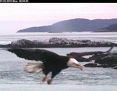
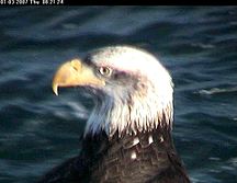
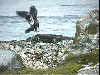
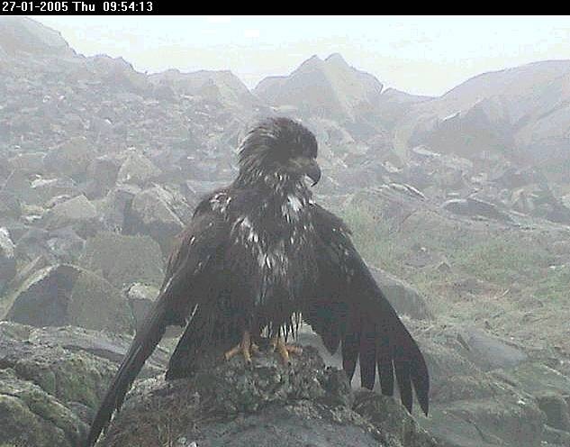
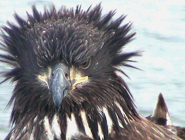
One of Pams first submissions to us was in this set of images of eagle predation in 2004


Bald Eagles in the Rain


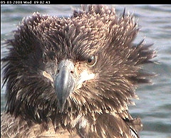
Bad Hair Day for the Eagles


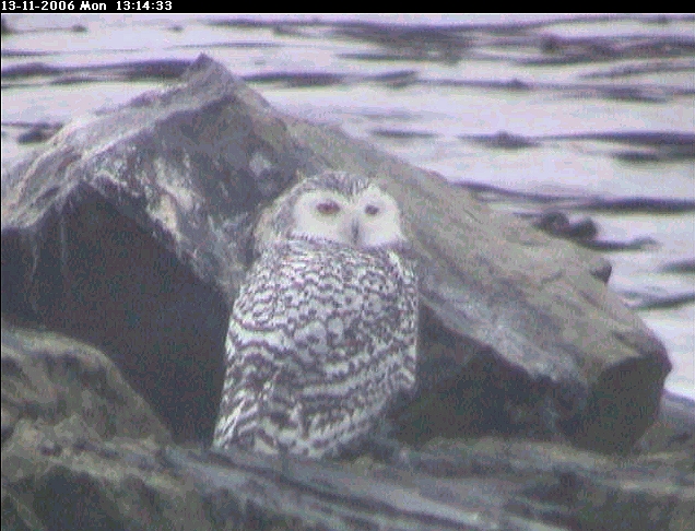
Pams images of  Snowy Owls were a first for Race Rocks


Feature Article on Pam Birley: From:  TheThunderbird.ca News, analysis and commentary by UBC Journalism students Former Pearson College student Marc-Fawcett-Atkinson and Annie Rueter have published the following article in  about our most consistent contributor to the website, Pam Birley of Leicester England. B.C. wildlife 
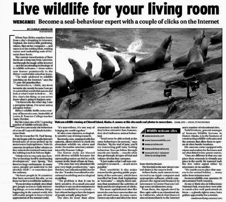
 

Live Wildlife for your Living Room
ref: Anderson, Charlie,
The Province, Vancouver, B.C. ( Sunday, Nov.21, 2004
Long Distance Monitoring, the effective Citizen Science of Pam Birley” has been has been published on page 10 of the December 2010 Issue of the Friends of Ecological Reserves log.

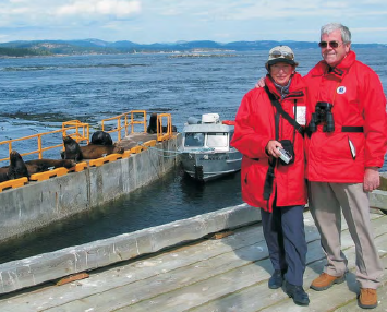
Pam and Dennis  Birley vist Race Rocks in 2008


This link brings up all the posts involving Pam Birley

A trip with BC Parks Staff to Race Rocks

On the morning of Wednesday June  6 , I went with Andy MacDonald,  the Vancouver Island Region (South) Parks and Protected Areas Section Head, and  Zsana Tulcsik, the new BC Parks Area Supervisor from the Goldstream Office out to the Race Rocks Ecological Reserve. ( A report by Garry Fletcher, Race Rocks ER warden)

College staff member Erik Schauff skippered Second Nature and we met Chris Blondeau , Director of Operations for Pearson College UWC  on the jetty. He is the relief ecoguardian at  Race Rocks for the week .

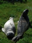
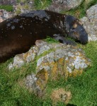
The elephant seals co-operated and were basking in the sun on the grass in the centre of the island. There were 4-  2 year olds and one large older Male, which may have been Chunk … the inflamed  right eye from an injury administered by Misery was a good identification mark.

Two Northern sea lions were observed in the water . I thought it was notable that there were very few harbour seals which usually have pups at this time of year, and none on the southern islets where they usually haul out. I will have to check over the next few days on the tower camera, as they may have been out foraging.

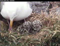
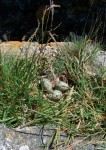
The glaucous-winged gulls are well into nesting season, with several nests containing three eggs. The image from the window of the science centre shows the distribution of pairs. Another picture above shows a nest precariously close to the elephant seal  haulout spot.

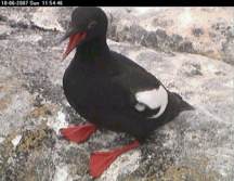
There was an abundance of pigeon guillemots on all corners of the island where they have their nesting burrows. They should be visible on camera 5 now out near the edge of the cliff to the west.  They have certainly been a success story in increasing numbers in the past few years. There must be well over 60 pairs nesting in the hidden burrows under the rocks. Ironically good habitat has been produced in several areas because of  human activity in the past by the blasting  of rock for the helipad construction by the Coastguard, and other construction on the islands done in the 1900s before it was an ecological reserve. This is a rare example of habitat enhancement that humans can claim, as usually it is the other way around.

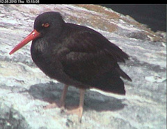
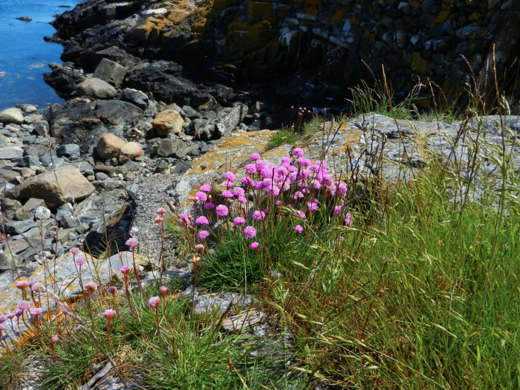
On the return to the docks we were impressed with the clumps of Thrift in full bloom. Chris mentioned that the Black Oystercatchers had been in the area on the rock right off the sidewalk by the docks and we soon spotted the nest. This is the same area they have used for many years. The videos of the hatching oystercatchers in this link  are from the same area.

In addition to the vast monocultures of pineapple weed as shown above, this is the second year we have noted large patches of Fiddleneck, Amsinckia spectabilis in the same compacted and richly fertilized areas where the grass was killed out by the sealions and intense Canada Goose grazing.

Armeria maritima: Thrift–The Race Rocks Taxonomy

Armeria maritima, sea thrift is in full bloom and looks very striking at this time of year.

Armeria maritima, sea thrift is in full bloom and looks very striking at this time of year. G.Fletcher photo.

There are several patches of this xerophytic plant located on the dry rocky knolls of Race Rocks. It is one of the native plants of the island.

Scientific classification
Kingdom: Plantae
(unranked): Angiosperms
(unranked): Eudicots
(unranked): Core eudicots
Order: Caryophyllales
Family: Plumbaginaceae
Genus: Armeria
Species: A. maritima
Armeria maritima (Mill.) Willd.
Other Angiosperms at Race Rock

taxonomyiconReturn to the Race Rocks Taxonomy
and Image File
pearsonlogo2_f2The Race Rocks taxonomy is a collaborative venture originally started with the Biology and Environmental Systems students of Lester Pearson College UWC. It now also has contributions added by Faculty, Staff, Volunteers and Observers on the remote control webcams.