News update Feb 23-24
Radio on the Rock….by Peter Seem (PC)
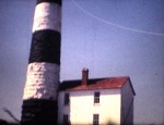
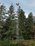
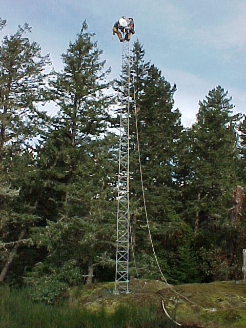
The 35 meter antenna for the microwave reception from Race Rocks which was contributed by Telus is installed behind the observatory at Pearson College.This tower was a decommissioned one Telus donated to the project from another part of BC.
-
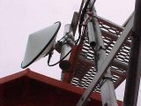
- The Telus antenna
-
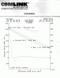
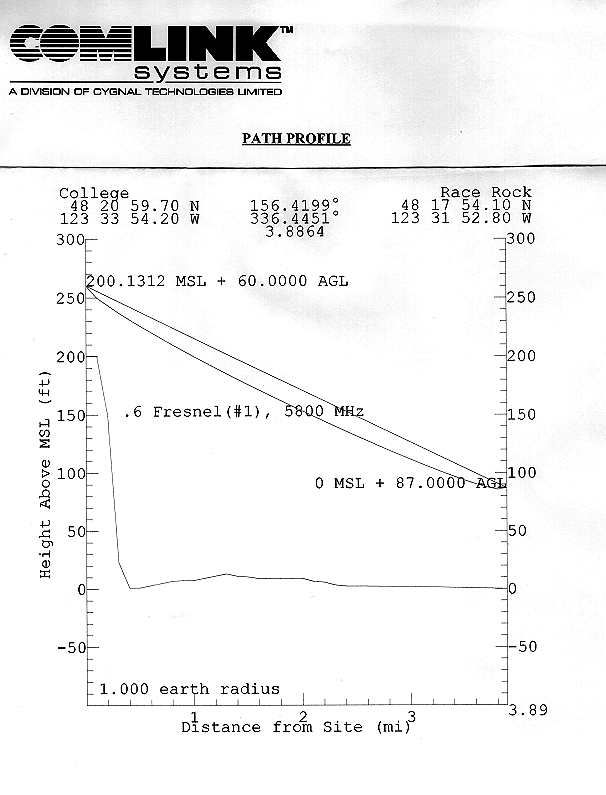
- Path Profile of Radio Wave from Race Rocks to the antenna behind the observatory.
-
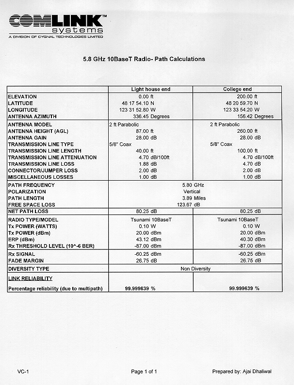
- 5.8 GHz 10BaseT Radio – Path Calculations.
-

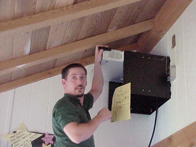
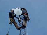
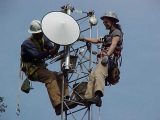
- Comlink technician Dion Jacobsen installs the radio in the observatory
-
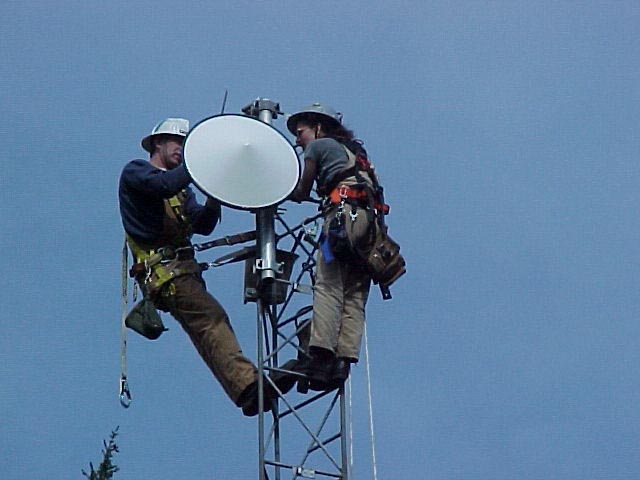
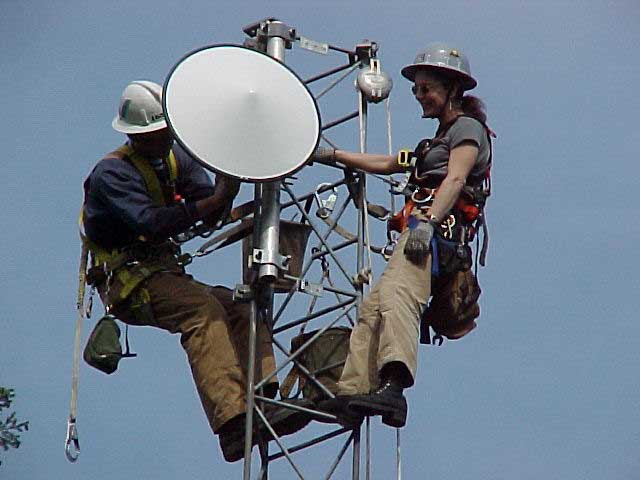
- Susan and Grant from Telus …
-
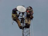
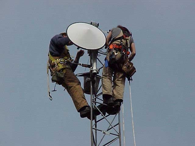
- hanging the radio dish on the antenna….
-
- at the observatory
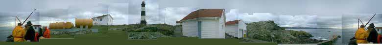
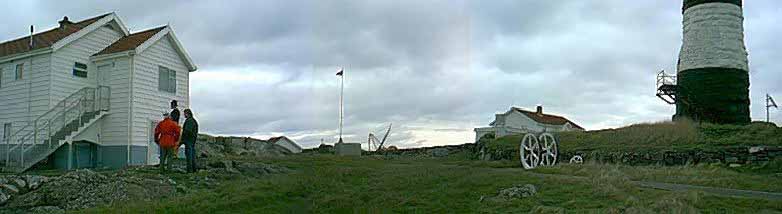
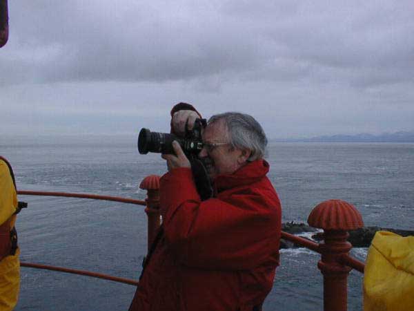
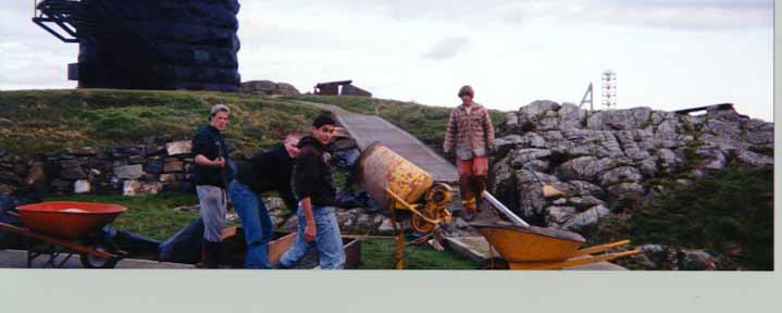
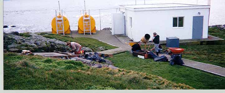
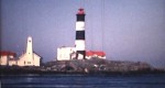
The other part of the installation was at Race Rocks Ecological reserve where the microwave antenna and transmitting infrastructure equipment were transported and installed in the Lighthouse toweron Great Race Rocks.
PRESERVING A HERITAGE SITE
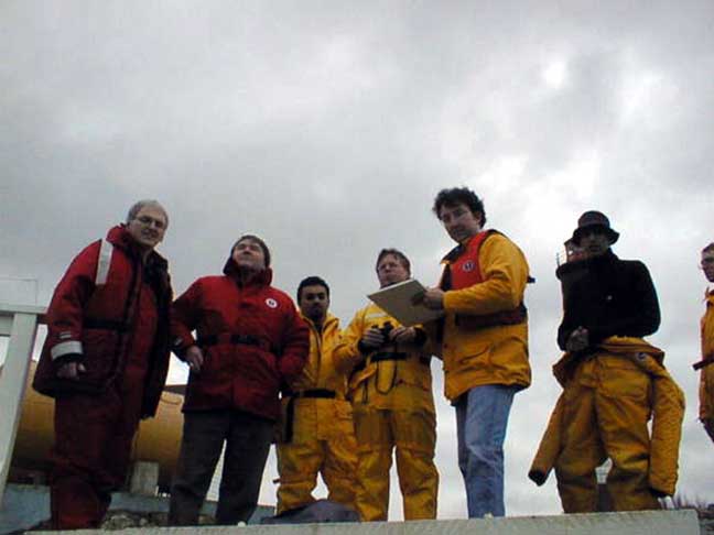
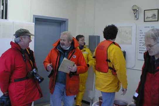
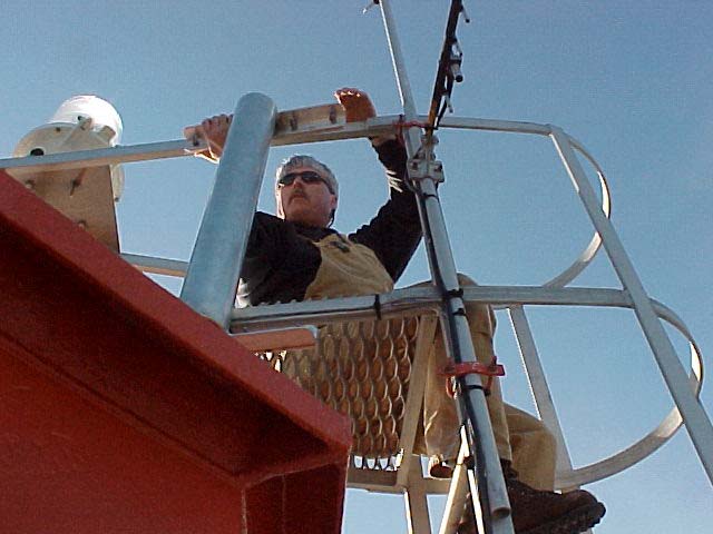
The Telus crew, along with the help of Pearson’s electrician, Don Nixon, and Dion Jakobsen from Commlink, were presented with a unique problem when they went out to the island. The lighthouse, on which the island-side antenna and transmitter are to be installed, is a Heritage Site. As such, they needed to find a way to install all of the new electrical and data-carrying wires from the base of the tower to up above the light compartment without drilling new holes or cutting into the rock.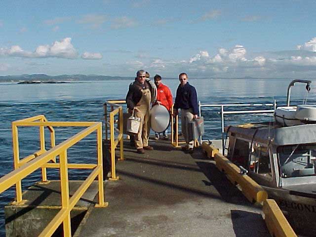
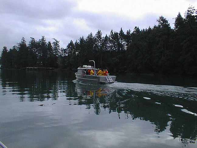
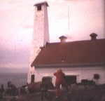
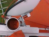
Arriving at Race Rocks with the new microwave dish
-

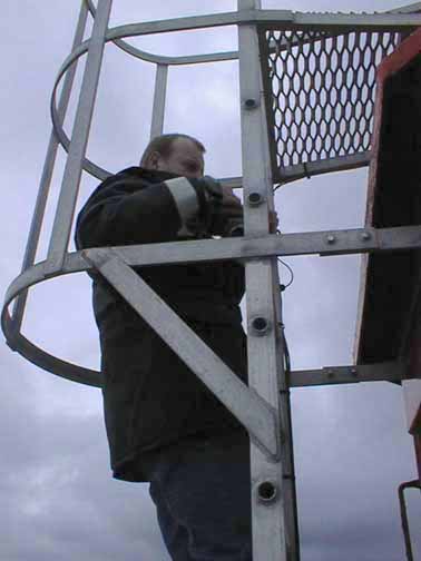
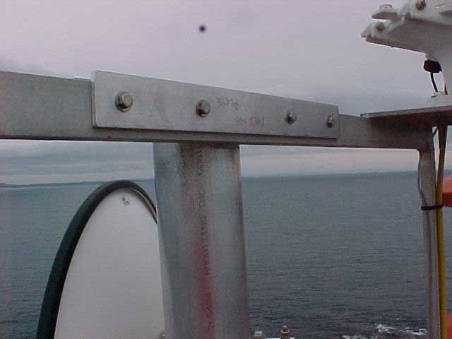
- Affixing the bracket on top of the Light tower at Race Rocks
-
- Bracket installation for the dish
-
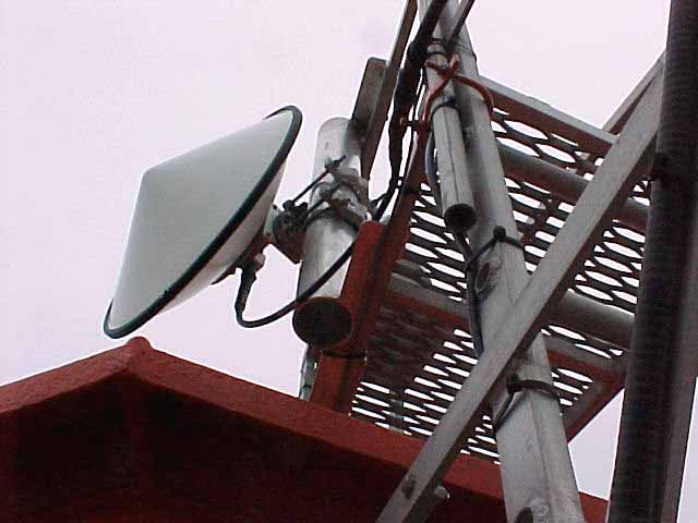
- Installed dish viewed from above

-
- above the microwave dish viewed from below
-

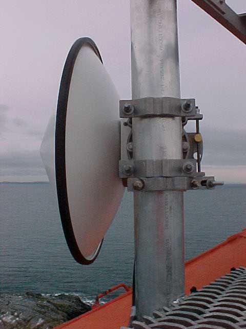
- from below the microwave dish viewed from the side
-
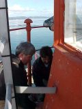
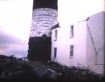
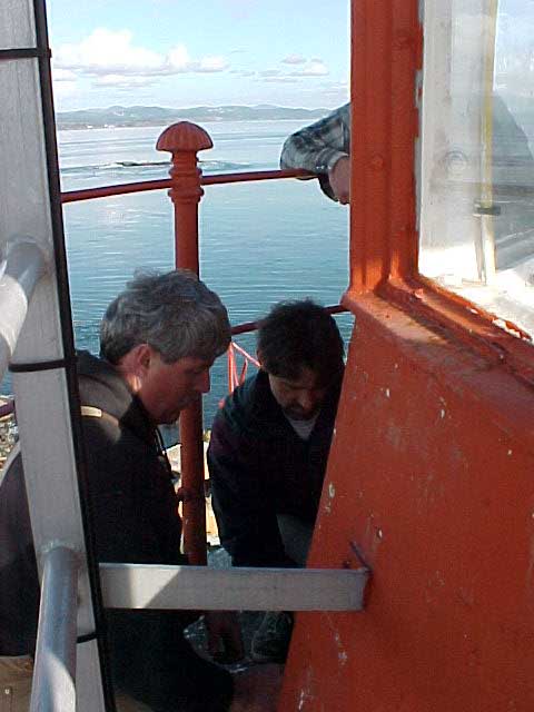
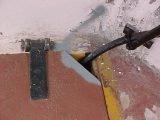
- the microwave dish viewed from the side Don Nixon our electrician works with the Telus crew to solve the problem of getting the stiff cable into the tower.
-

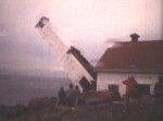
- The challenge of getting inflexible radio cable from the dish outside to the radio inside without compromising the heritage structure was creatively solved.
-
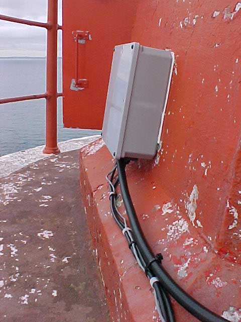
- By using an existing tower vent to enter the lantern room.
-
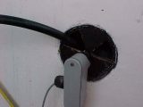
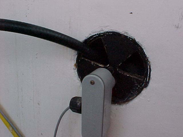
- The hole through the edge of the hatch to the lantern room.

-
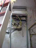
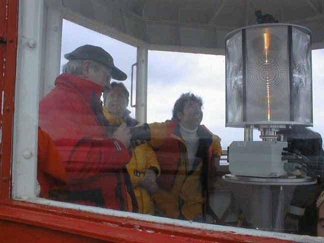
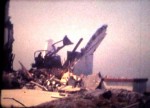
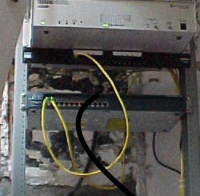
- The radio and switch fit neatly in under the stair-ladder of the tower,
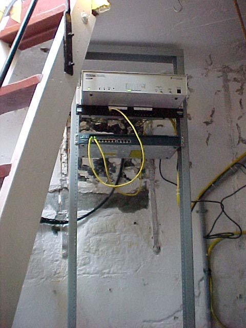
-

- completing this essential component for transmission of the signal from Race Rocks to Pedder Bay.
After looking at a diagram of the tower and examining the structure, they were able to manoeuvre relatively inflexible cable up through existing conduits and ventilation shafts. The transmitter was fixed underneath the stair-ladder, and the dish was attached to the metal cage of the lighthouse and lined up with the dish at the observatory.
Thanks to PC student Peter Seem for this writeup.