EXISTING SHORELINE CONDITIONS STUDY EAO Condition 39

The full pdf of this report is contained in this pdf:
BC EAO Condition 39 Exisitng Shoreline Conditions Report – May 2023 – for engagement

The purpose of this posting is to reference the part of the report referring to Metchosin’s coastline including Race Rocks and to provide comment on it.

===========================================================

From page 4 of the REPORT:
1 Introduction
As defined by the amendment to Trans Mountain’s BC Environmental Assessment Certificate (EAC) issued by the Province of British Columbia (the Province) on February 24, 2022, Trans Mountain must prepare an Existing Shorelines Condition Report and submit to the Province within 18 months (August 2023) as Condition No. 39.

Polaris Applied Sciences was retained to prepare a report containing shoreline baseline data for shoreline areas closest to spill scenario locations modeled along the marine shipping route and submitted in the Project application. The Province listed the specific scenario locations for the purpose of this study (Figure 1) as:

  • English Bay (Location B)
  • Roberts Bank (Location C)
  • Strait of Georgia (Location D)
  • Arachne Reef (Location E)
  • Strait of Juan de Fuca (south of Race Rocks) (Location G); and
  • Buoy J (Location H)


Page 25
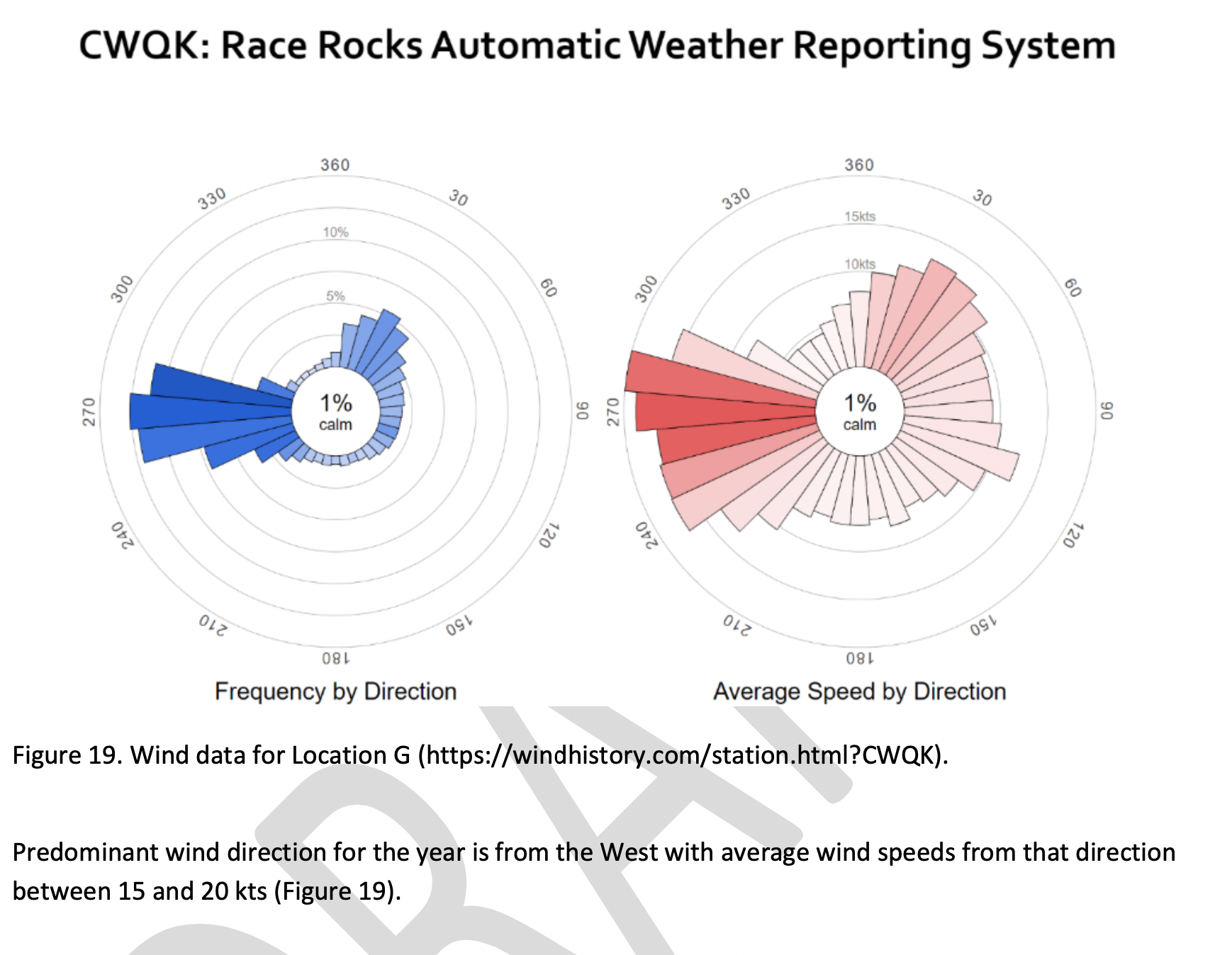
Strait of Juan de Fuca (south of Race Rocks) (Location G);
Figure 18 shows the Location G – Race Rocks site with the available existing spatial data. Shoreline data are from the Shorezone mapping effort available from the BC Data Catalogue, which show the shore type consisting of rock cliff. Shore-zone Bioband data indicate the presence of barnacles, dark brown kelps, fucus, bull kelp, red algae, surf grass, and Verrucaria. Other data sources indicate offshore kelp beds and multiple seal and sealion haulouts. The Race Rocks Ecological Reserve (RRER) website (https://racerocks.ca/home/) provides more details on ecological resources documented and studied at the site, but not in a spatial format for mapping.
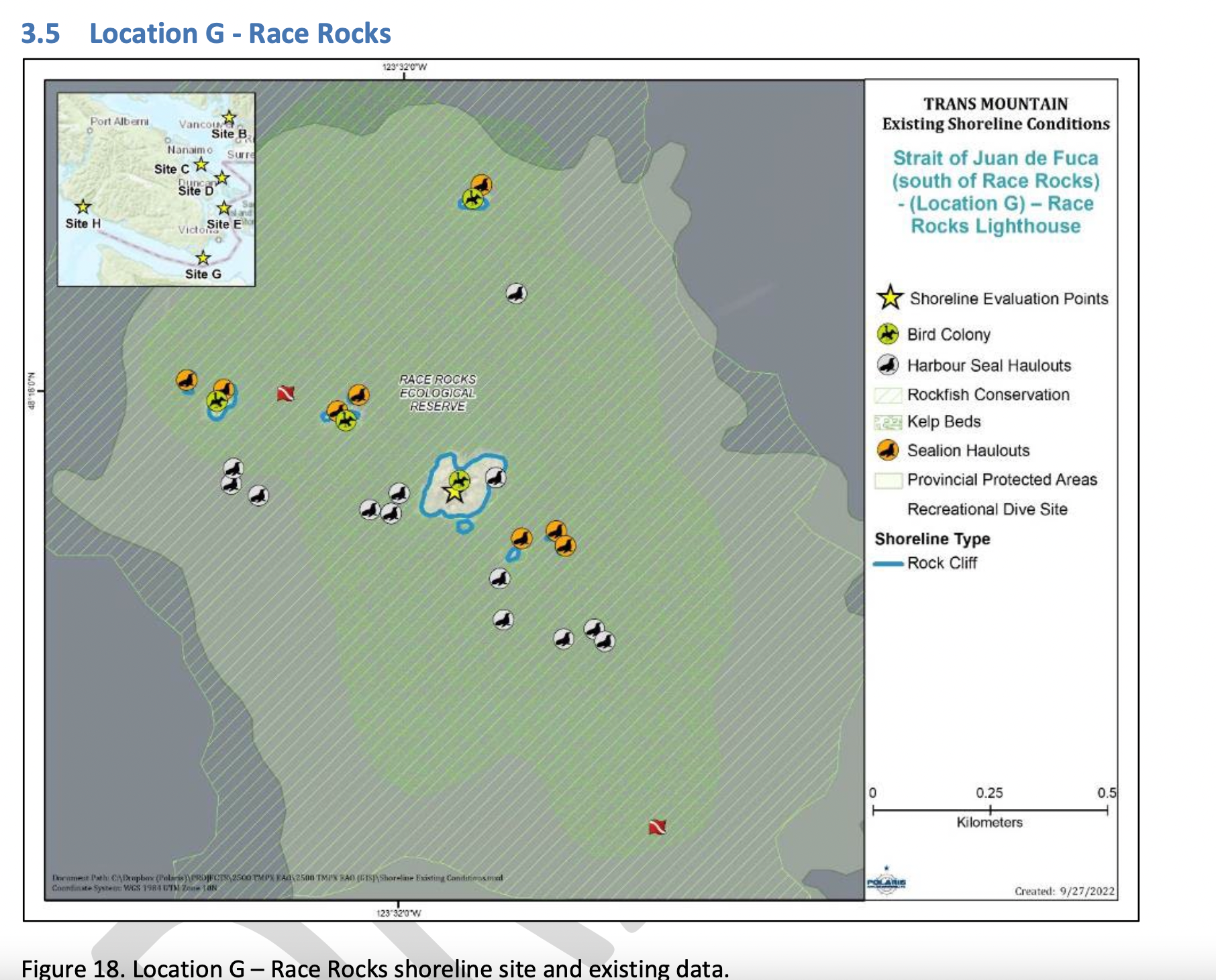
COMMENTS :  The exceptionally high Biodiversity of the area and high level of protection since 1980 as a Provincial Ecological Reserve  are not reflected at all in the map presented. If one were to look at the Race Rocks Taxonomy presented at https://racerocks.ca/race-rocks-animals-plants/taxonomy-image-gallery/ there may be a better appreciation of the natural capital of this area

  1. Rock Cliff  Beach designation is inaccurate.. there is a pebble beach and Intertidal areas with tidepools on much of the shorelines of the 9 islandfsd in the Archipelago.  Also several surge channels are located around the main island. 
  2. Bird Colonies :
    –no mentions is made of four species of nesting seabirds.
    –no mention is made of the fact this is a winter roosting area for thousands of seabirds.
    — no mention of the fact that the archipelago of islands are an important migratory stopover for marine and terrestrial migratory birds.
  3. Marine Mammals:
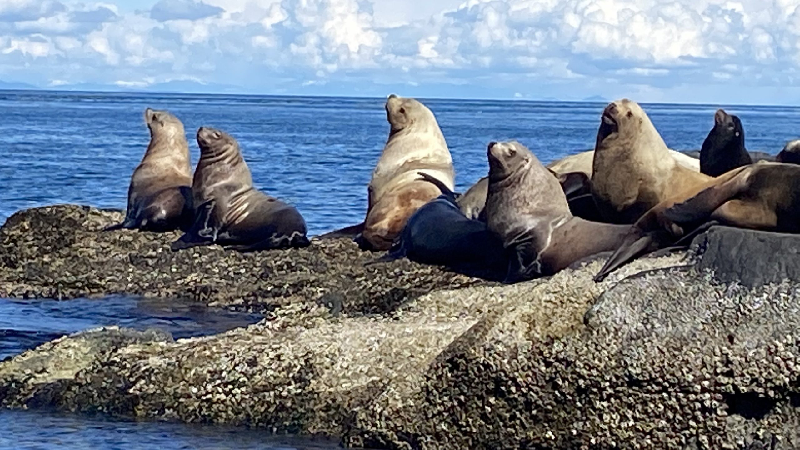
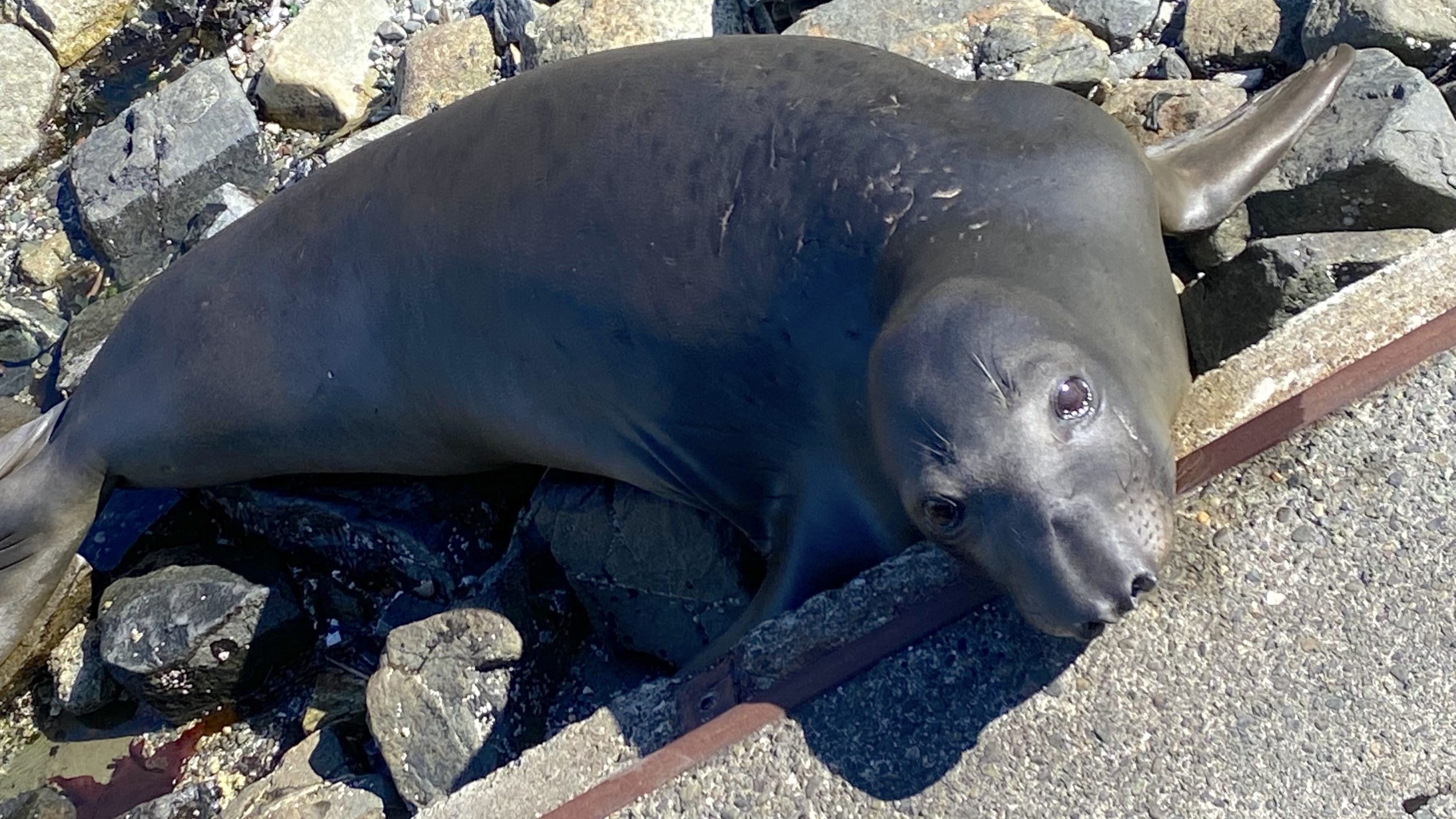
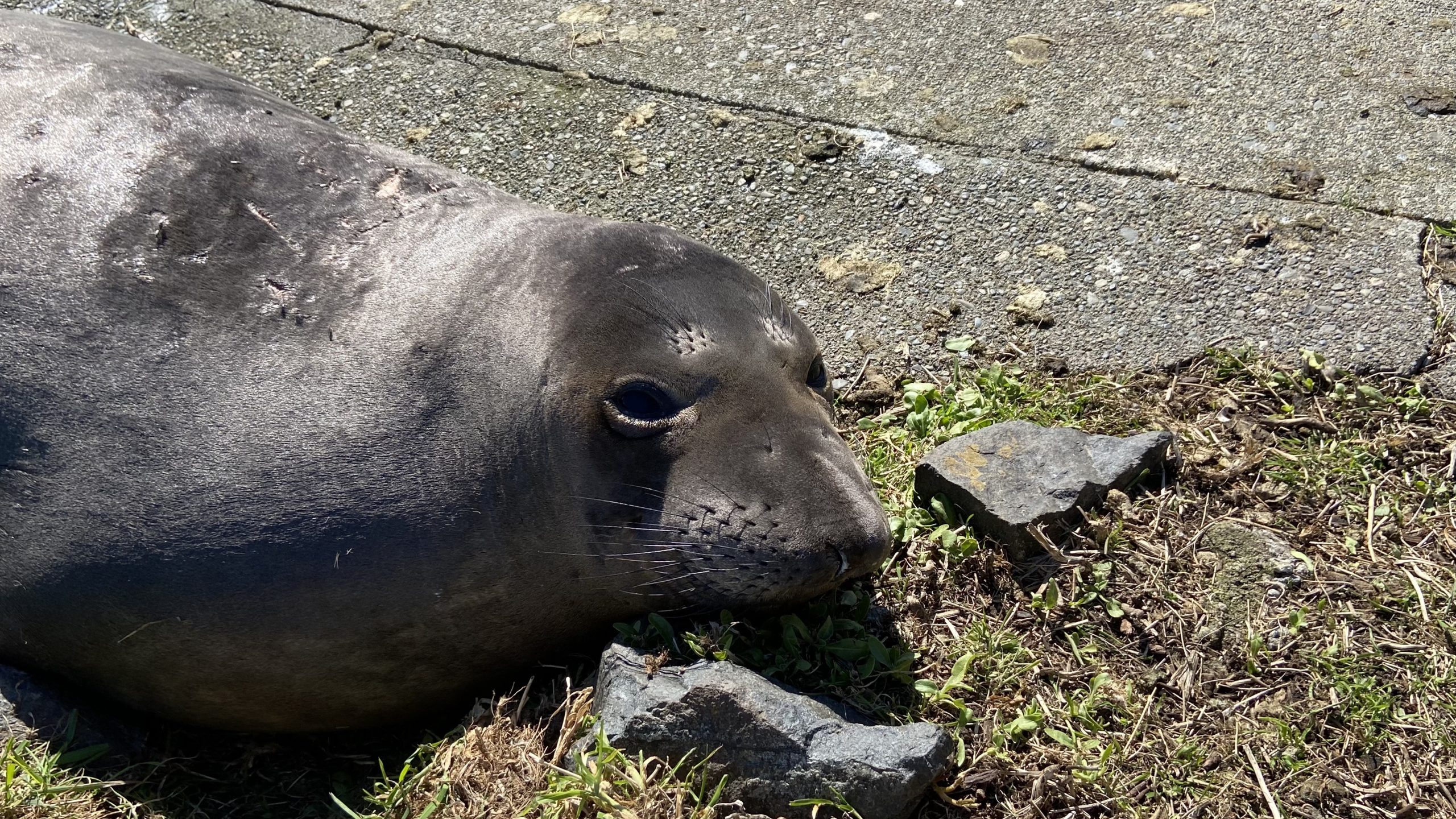
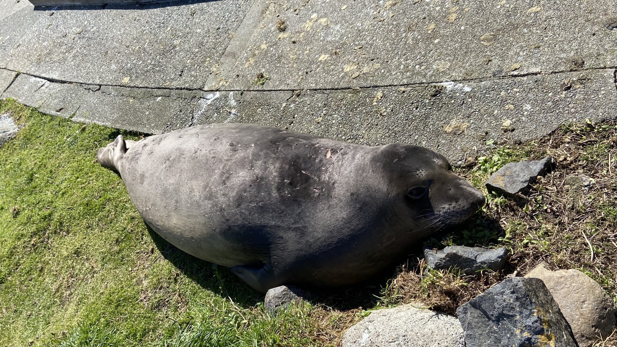
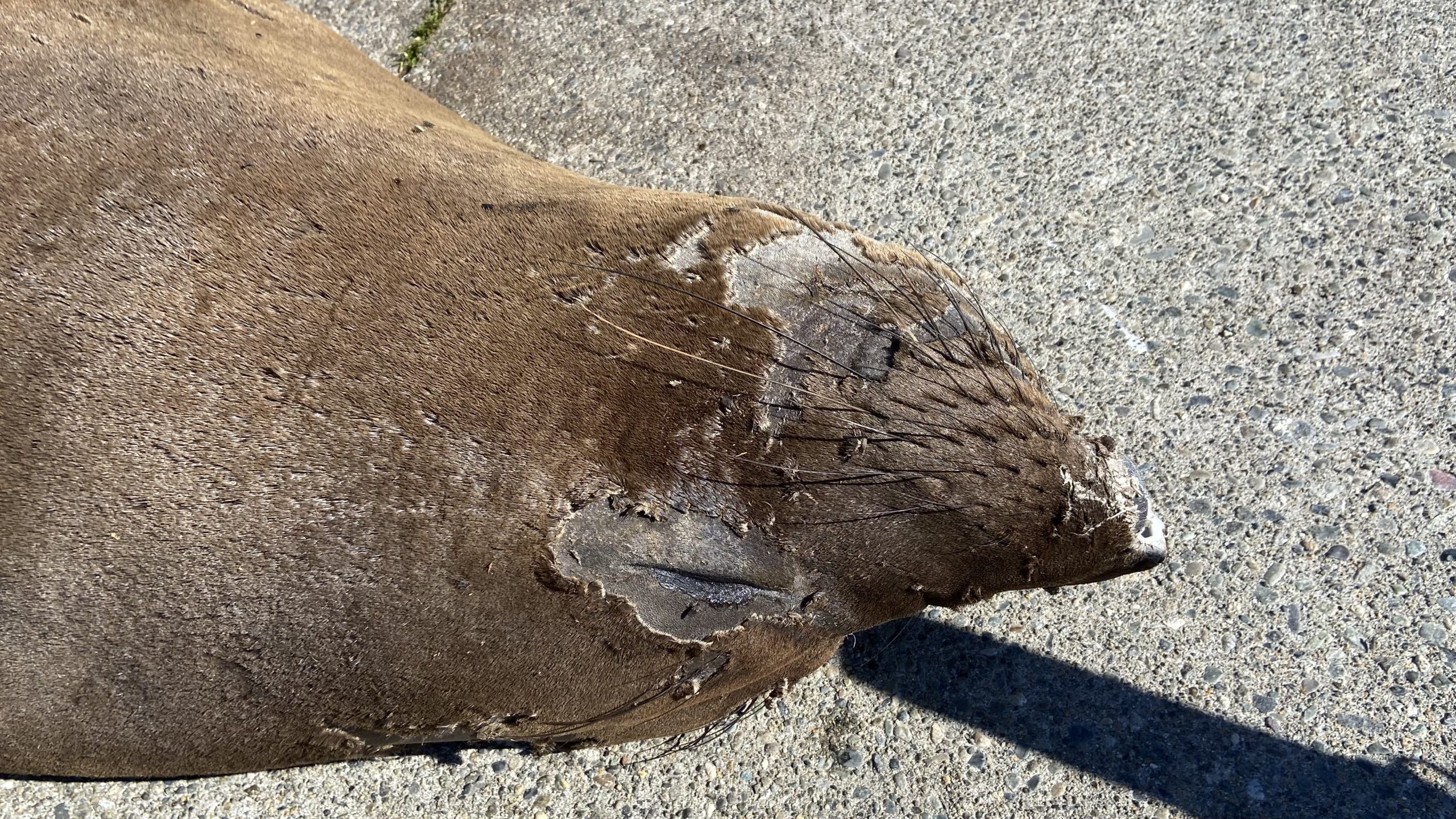
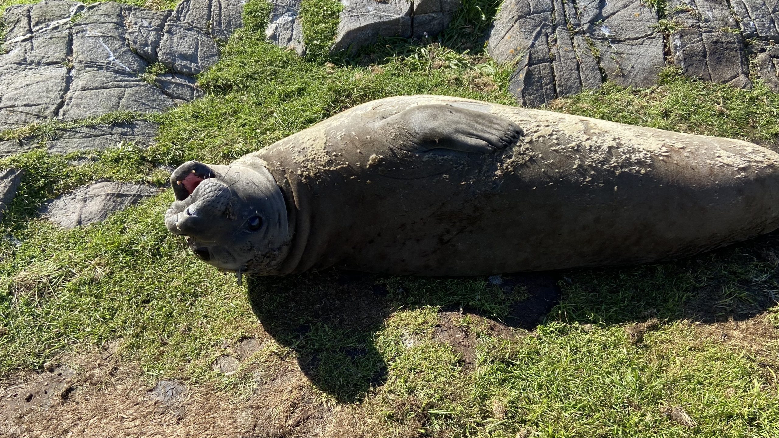
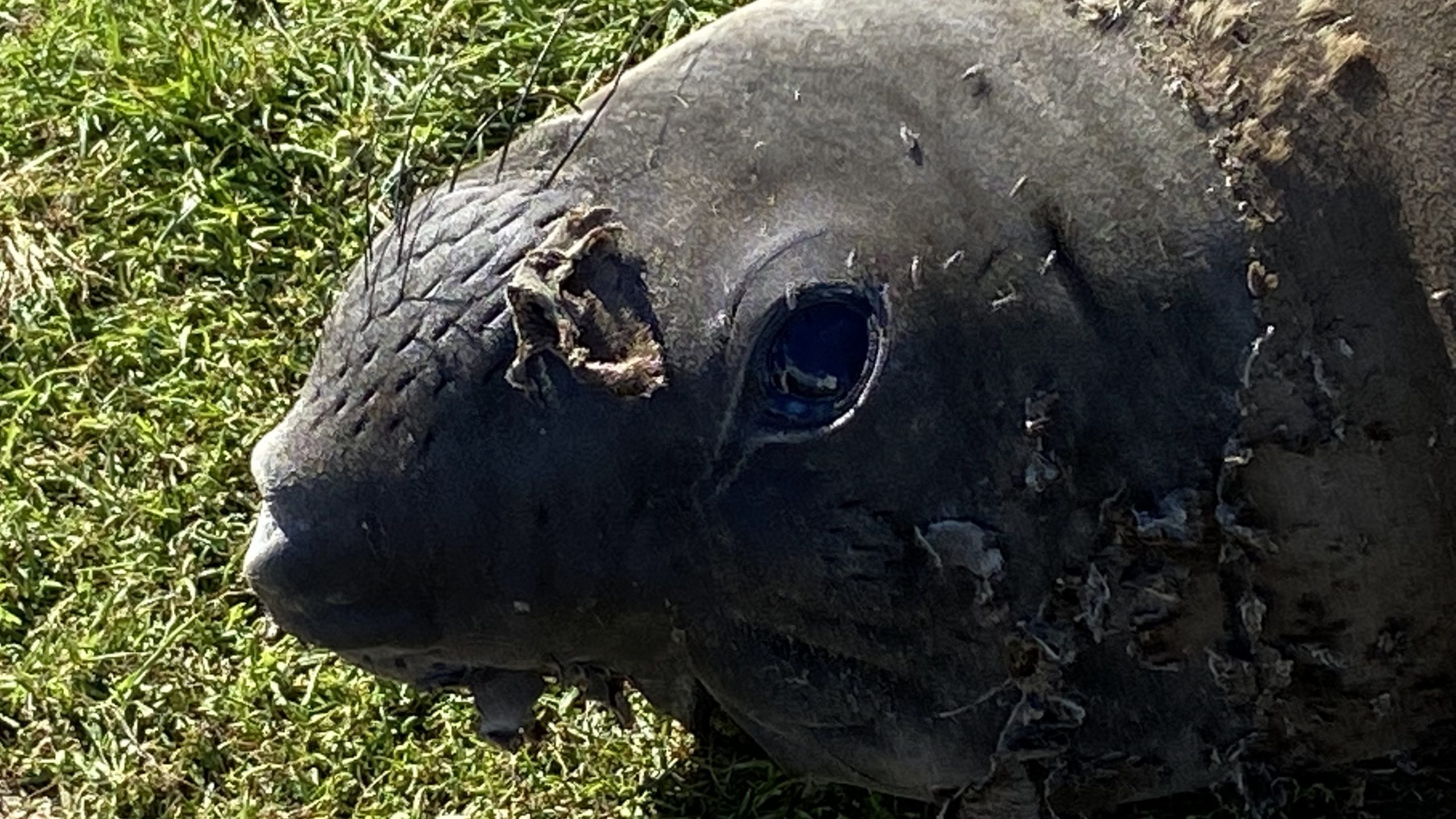
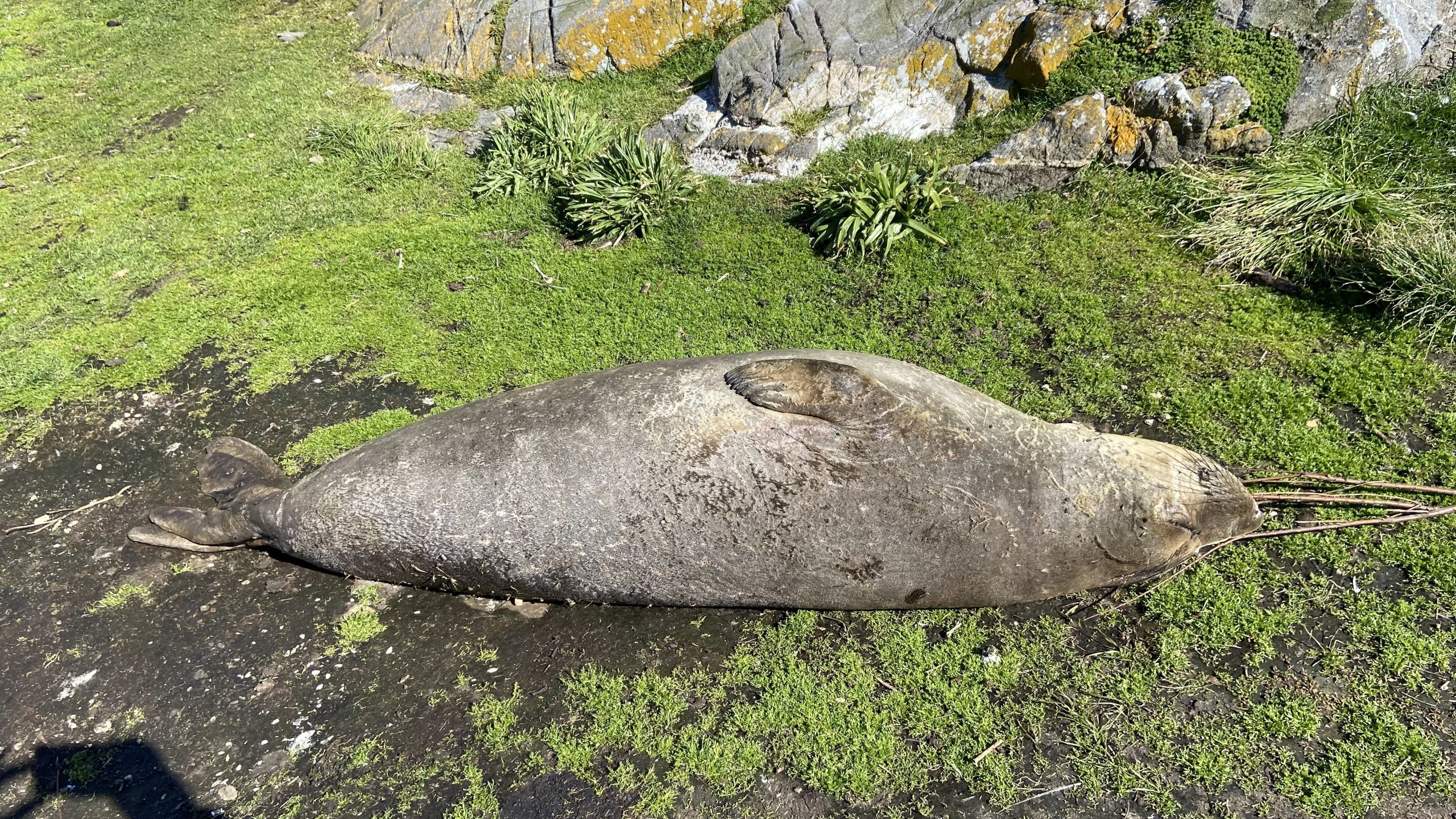
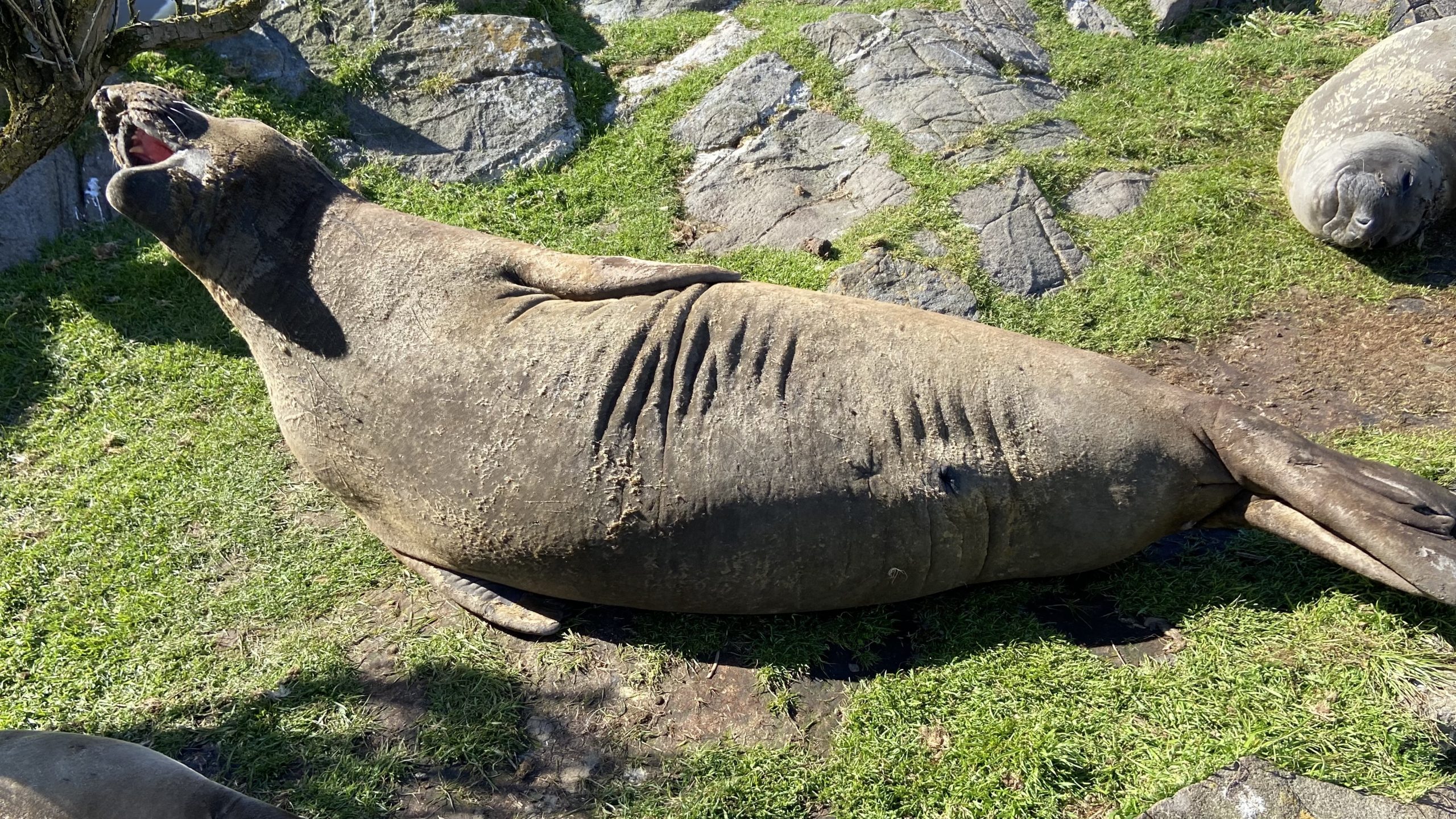
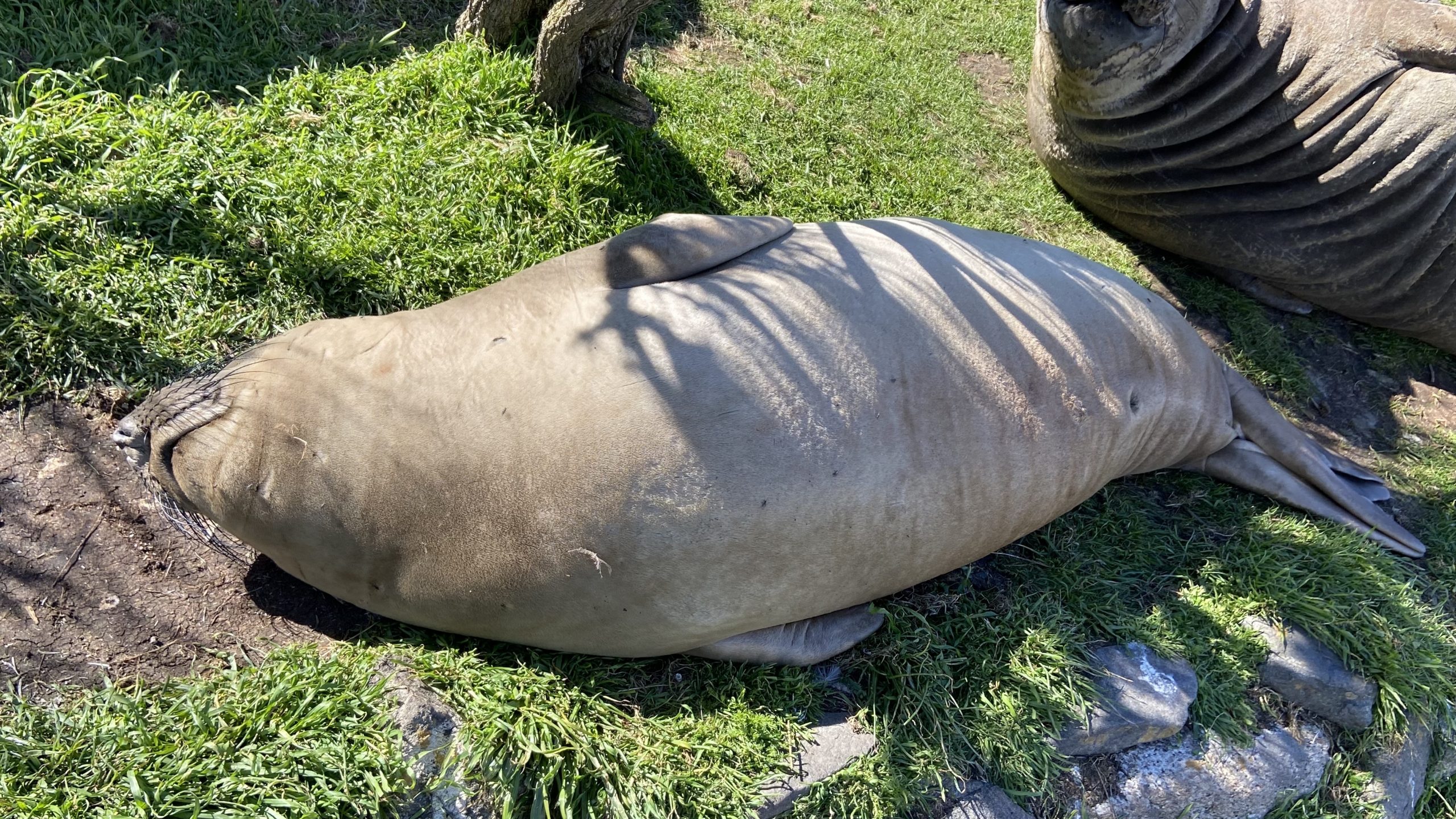
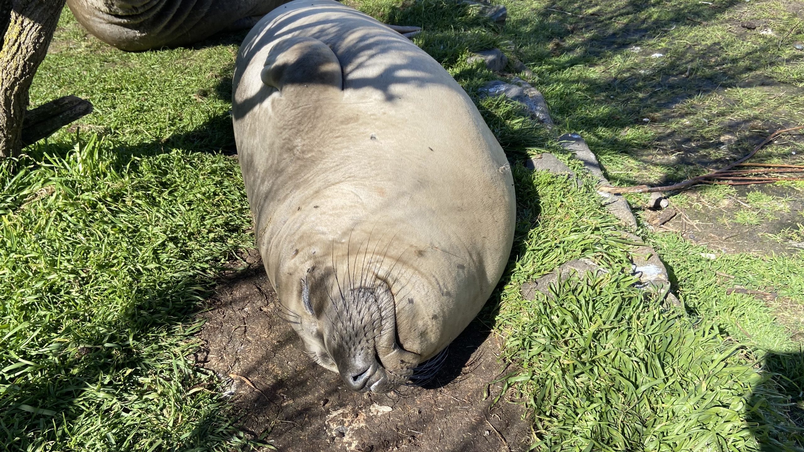
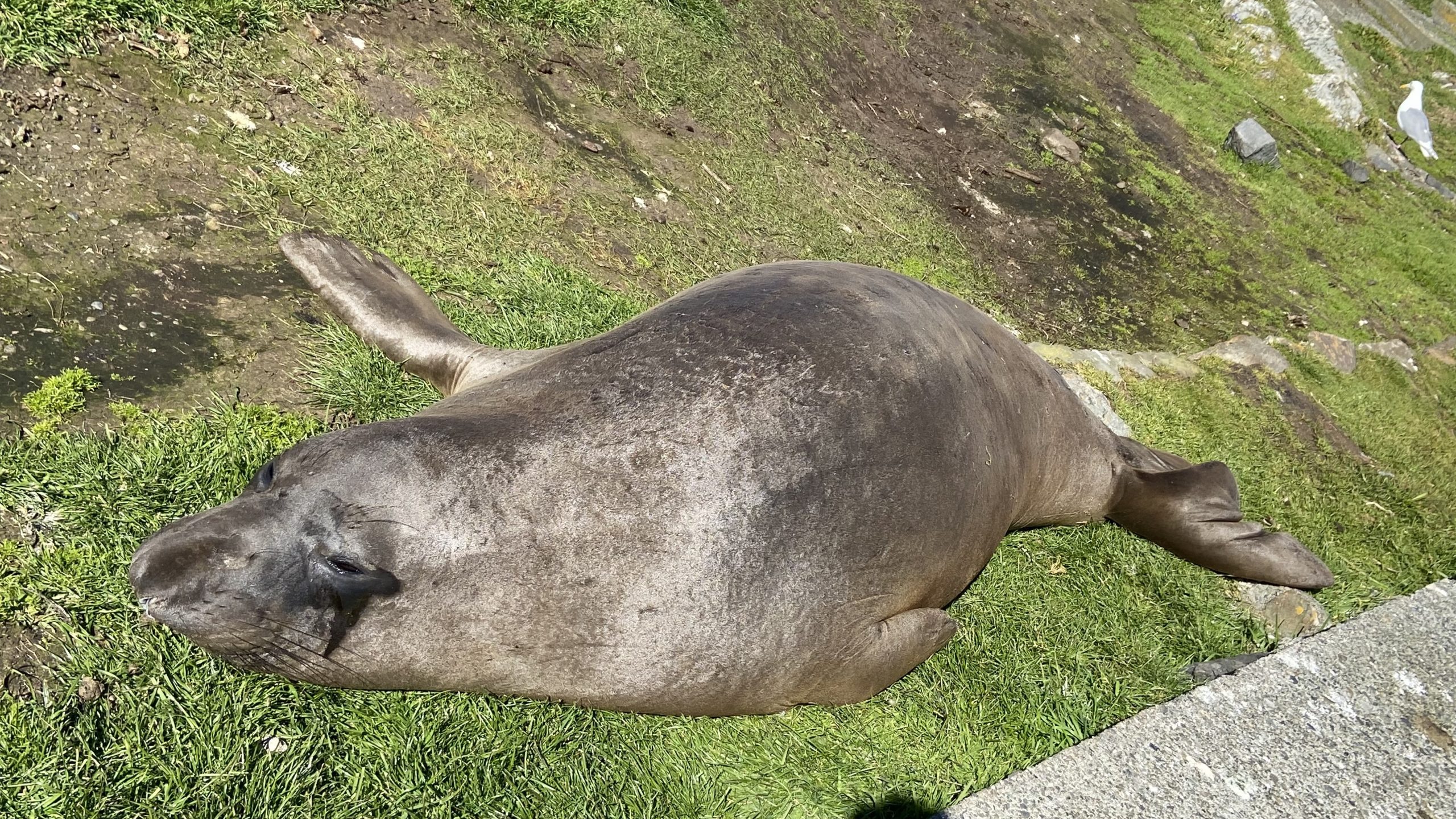
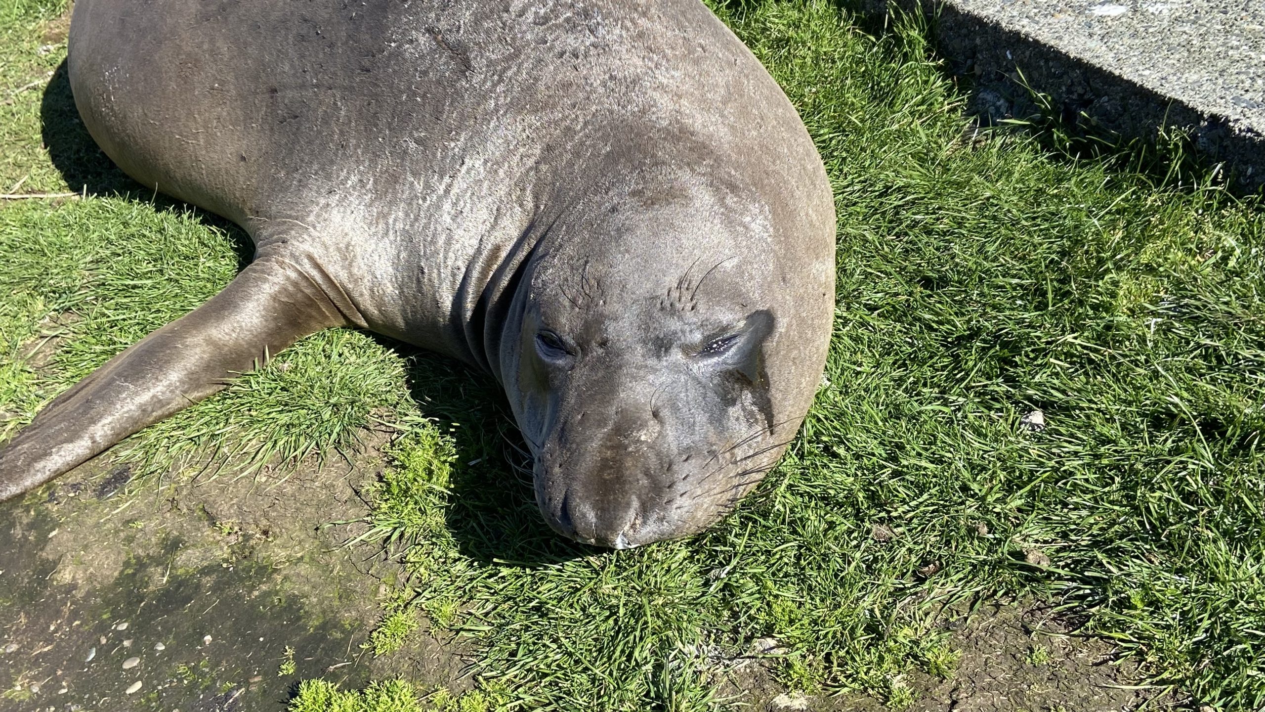
    –no mention is made of the fact this is the most northerly haul-out and pupping colony  for Elephant seals — no mention of the fact that California and Northern sealions haul  out in numbers over 1000 in the fall of the year. 
    —no mention  that the haul-out locations for harbour seals are also pupping colonies. 
    — no mention of the ocurrence of river otters and sea otters on and within the islands.
    – no mention of the fact that it is an important feeding area for Biggs killer whales. https://racerocks.ca/humpback-and-orca-sightings-race-rocks/
    –no mention of the fact that the surrounding waters have had a rapid increase in the past few years of Humpback whales 
  4. Invertebrates: 
    –The extremely high biodiversity of invertebrate species both inter-tidally and sub-tidally is not mentioned. 
    –Several rare species of invertebrates are found here and are not acknowledged
  5. Fish :
    –This is a rockfish protection area and all species of BC Rockfish are represented.– a high diversity of other fish are also represented here,  with even sitings of Sturgeon occurring.
  6. Marine Algae :
    –There is a much higher  species diversity of Marine Algae found in the ecological reserve than is n surrounding areas. 
    — the indication of kelp beds on the map presented here is totally inaccurate and insufficient.  Given the decline of kelp beds in our coastal water , this is highly relevant. 
  7. Indigenous and Historical Significance: 
    — the presence of archaeological sites and the significance of the historic structures cannot be minimized . All are sprayed with seawater and therefore subject to immersion in pollutants during intense winds  which occur regularly. 

===============================================================

Page 26


Comments:
The reference at the Race Rocks website  from racerocks.ca which analyzes the Wind speed from observations of the hourly data provided by Environment Canada show a completely different picture . https://racerocks.ca/race-rocks-lightstation-weather-conditions-environment-canada-problems-for-oil-spill-cleanup/
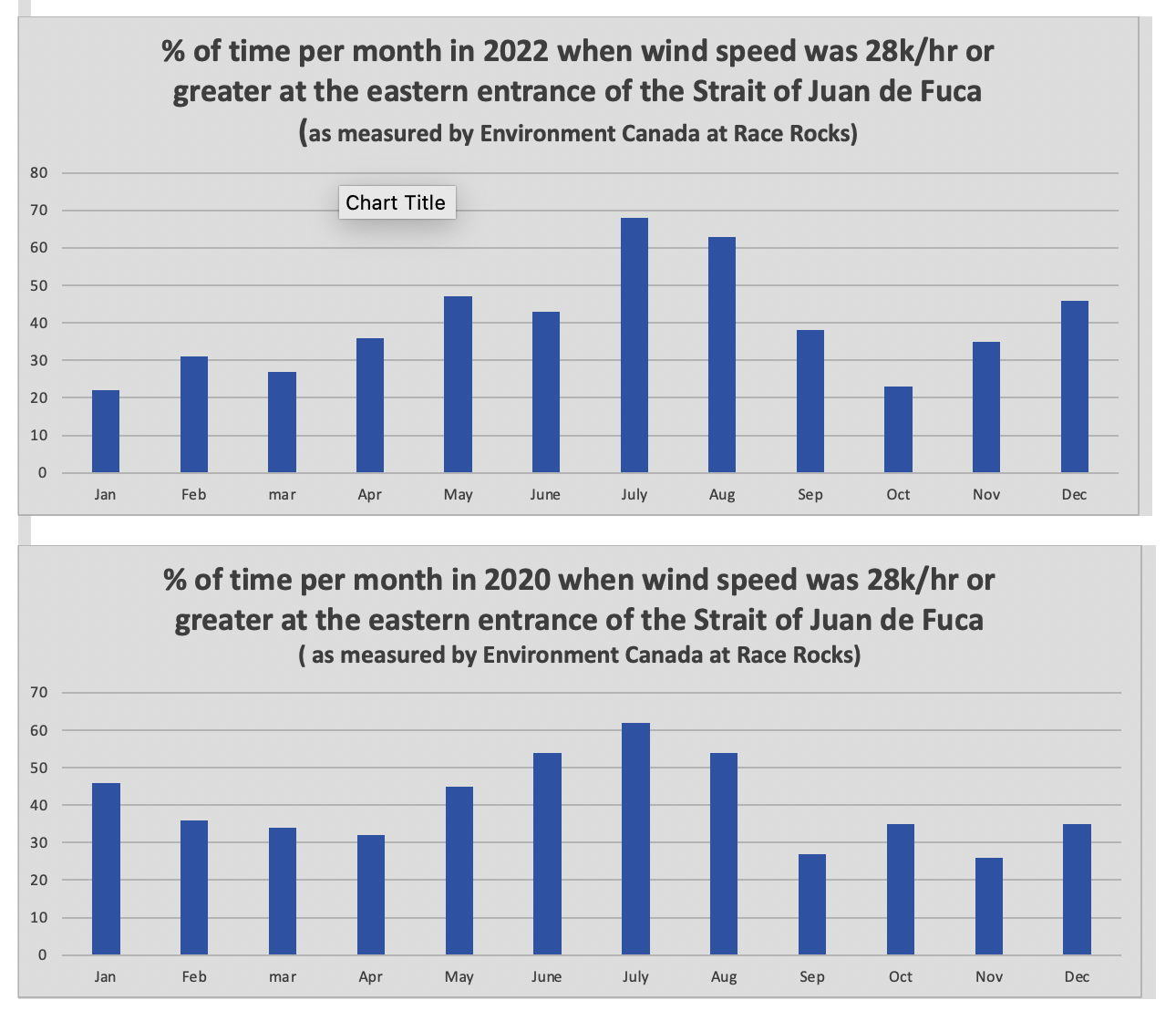
 Some facts from the Environment Canada data:
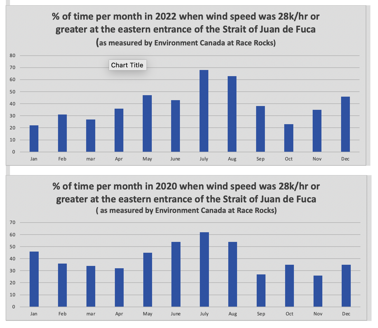
1. In July of 2022  there were 11 days when the wind speed every hour was 28 km/hr or greater. and 69.5% of the hours in the month, clean up equipment could not be deployed due to high velocity wind conditions.
2. In March of 2023, the wind speed was 28 km/hr or greater  37% of the time.
3. In Februarry of 2023 , the wind speed was 28 km/hr or greater 43 % of the time
4. In January of 2023 , the wind speed was 28 km/hr or greater 36% of the time 

============================================================

Page 27


================================================

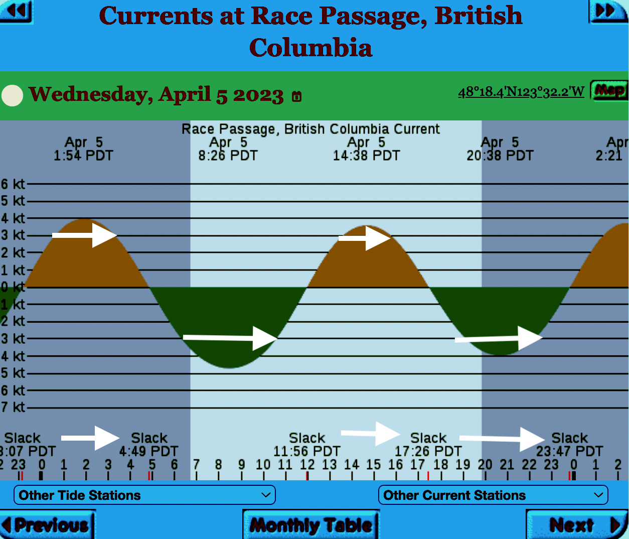
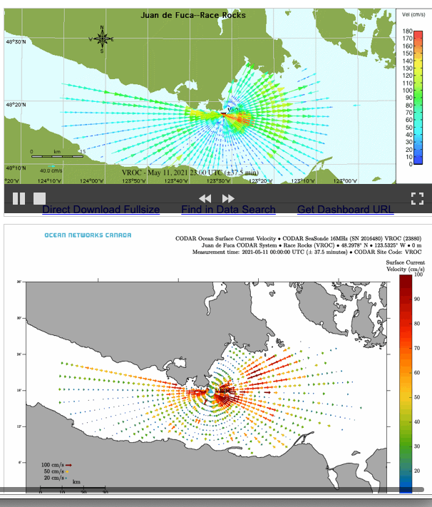
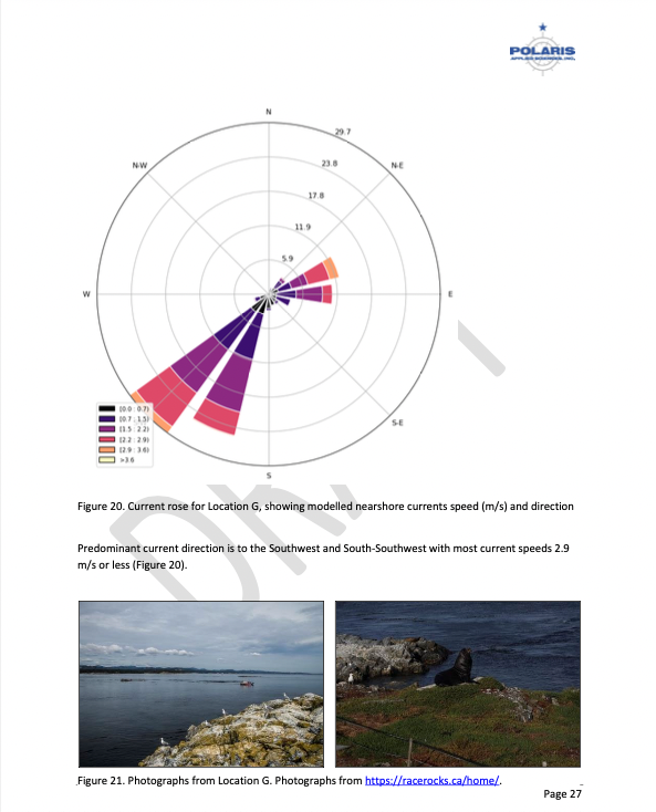
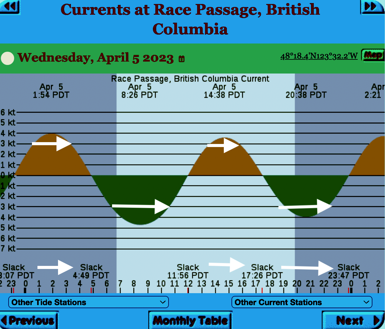
The reality of current speed  is that there is a very small window of time during the day that the waters around Race Rocks are not over three knots. In the graph below only in the few hours a day not covered by the white arrows could any boom placement be established. WHen looked at from this perspective, added onto the small windows of time when the wind speed is under 28 km per hour could spilled oil containment even be possible. 


=============================================================

From page 28 of the Polaris report

Field surveys were not conducted at Race Rocks due to the long lead time in acquiring a “research” permit from BC Parks to access the Ecological Reserve. Information detailed below comes from reviewing the existing data available, Google Earth, the RRER website, and a First Nations representative.
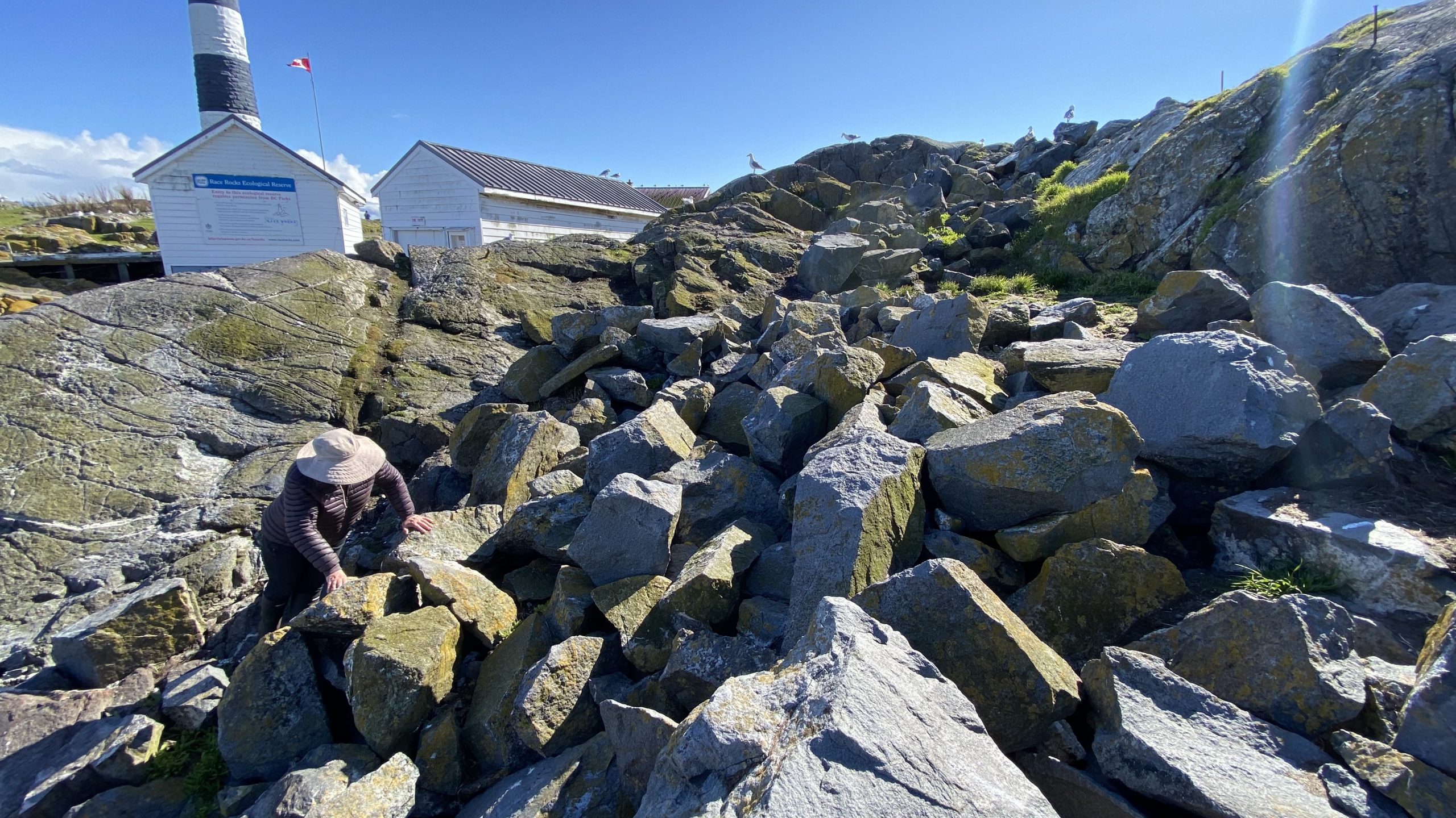
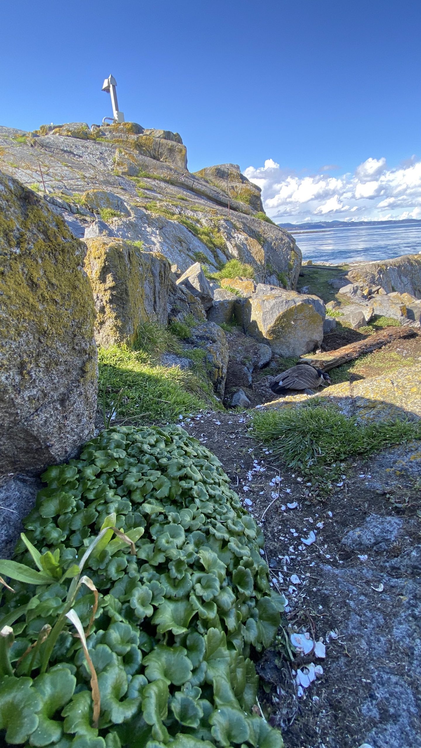
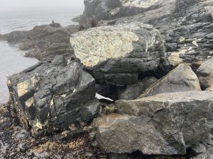
The shoreline at Race Rocks, specifically Great Race Rock, appears to be mostly bedrock cliff, ramp, and platform, possibly with some small pocket pebble/cobble beaches. Bedrock cliffs and ramps are observable in Figure 21 which show some example photographs from the Race Rocks Ecological Reserve website. The backshore appears to be mostly bedrock with some vegetation.
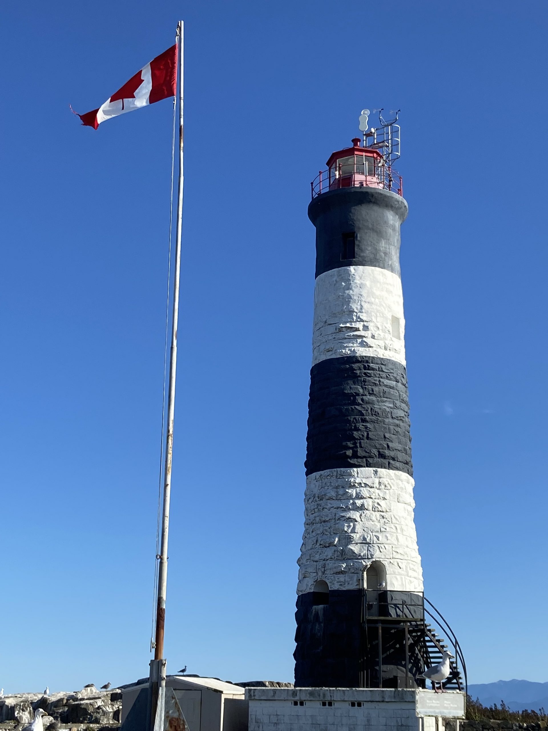
An active lighthouse along with several other buildings are present. Pearson College UWC conducts research and teaches classes at the site. Whale and sightseeing boats frequent the waters around Great Race Rock and are visible from photographs on the Race Rocks website and on Google Earth.
As mentioned before, Race Rocks is a BC Parks Ecological Reserve which are “areas selected to preserve representative and special natural ecosystems, plant and animal species, features and phenomena. Scientific research and educational purposes are the principal uses of ecological reserves”7. A wide variety of ecological resources are documented, tracked, and studied at the site. This documentation includes a weekly animal census, annual bird counts, and an entire list of species ever documented with photos/videos since 2000 (https://racerocks.ca/race-rocks-animals-plants/taxonomy-image-gallery/). Additional research conducted at the site can also be found on the RRER website. The extensive use of the site as a haulout location by pinnipeds is documented on the website and visible on Google Earth.
This area has historically been used by First Nations for harvesting food, as documented on the Race Rocks website, and a First Nations representative indicated that fishing is common in the waters around the site. Burial mounds/cairns have been researched and documented on Great Race Rock.
A helicopter pad is located near the lighthouse.
Based on the available data, and without visiting Race Rocks, the Shorezone mapping appears to be relatively accurate. The detailed observation of the flora and fauna on the Race Rocks website and other research conducted by Pearson College provides the most thorough documentation of the ecological resources present compared to any of the other sites visited.
7  https://bcparks.ca/eco_reserve/

================================================================

================================================================
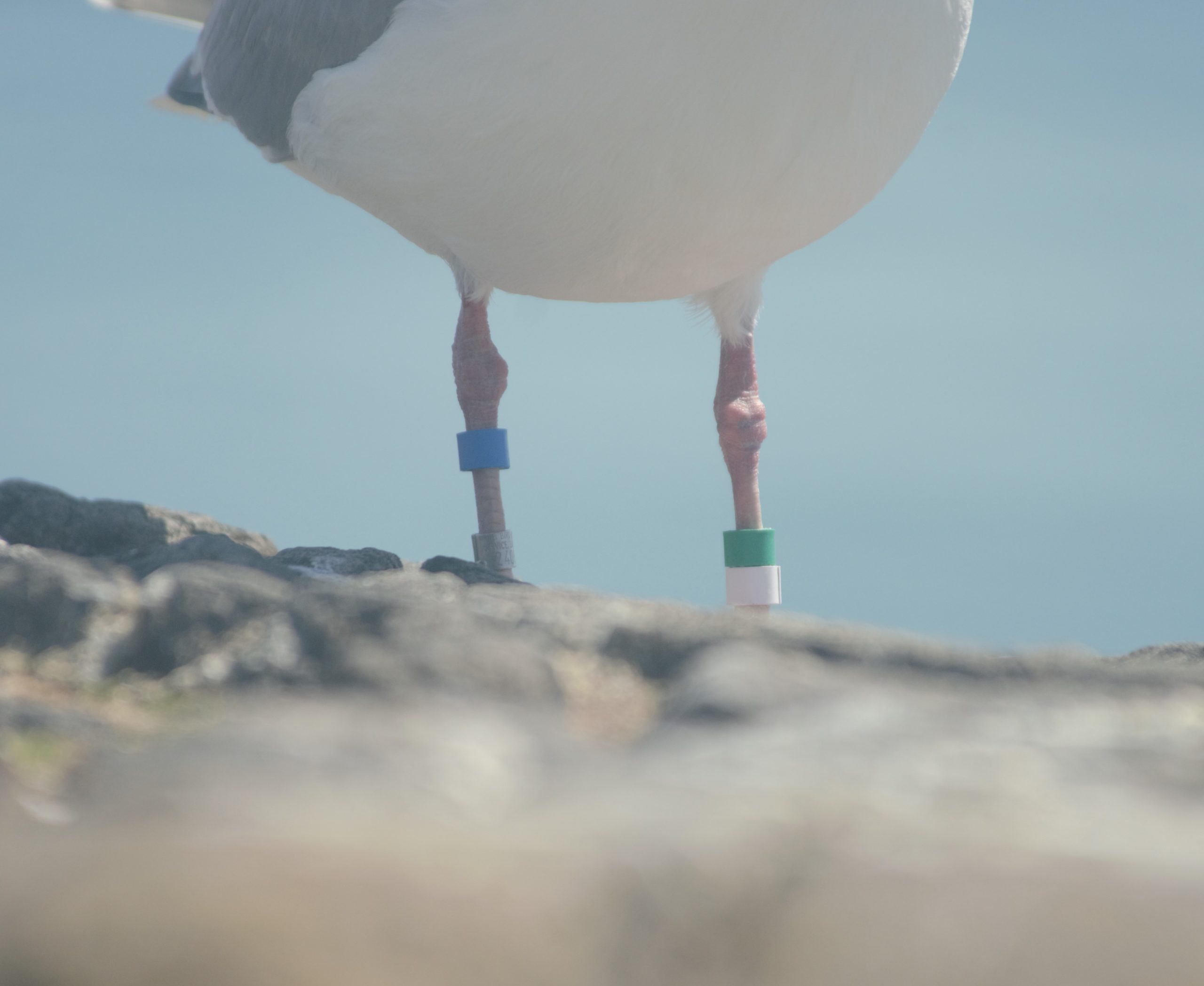
So much of what we are expected to do in response to the Trans Mountain EAO requests has been done before. 
However…. 
I am pointing out some information from work that Mike Fenger and myself did on the Board of Friends of Ecological Reserves the past for the NEB hearings . 
1. In this document, although it  lists species of several of the marine ecological reserves,  Race Rocks is included with examples 
page 48 -page 54 : Marine mammals
see page 52  
page 55-page 61 Birds 
page 63-67  fish (including forage fish on our beaches
page 67- page 71 .. Invertebrates
page 72- page  74  .. macroalgae
page 75-  terrestrial plants in upper foreshore areas
From this link ….
there is a lot of information of the biological resources along the Strait of Juan De Fuca also in section
3.5 SARA-Listed Species in Two Ecological Reserves and in appendix page 139
============================================
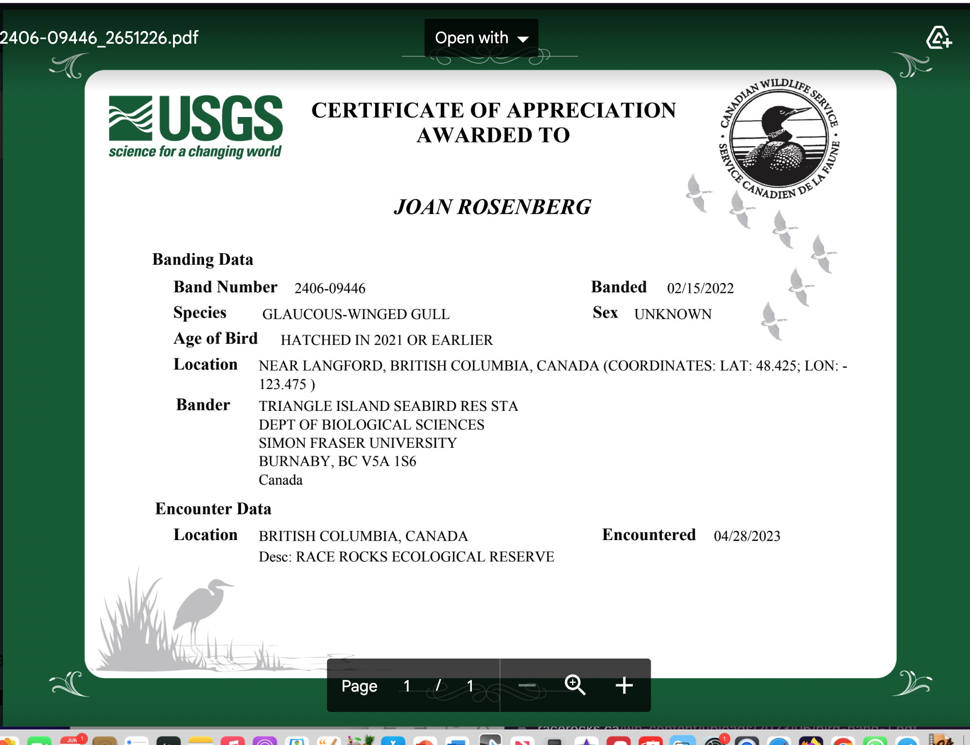
Garry Fletcher.. Metchosin Environmental Advisory Select Committee 


Race Rocks Lightstation – Weather Conditions – Environment Canada- and Problems for Oil-spill cleanup

Environment Canada has weather sensors installed at the top of the lighthouse at Race Rocks Ecological Reserve. When windspeed was noted for every hour of the year, the reality of how ineffective Oil spill Cleanup would be becomes evident.

Hourly weather conditions summary for the past 24 hours. This includes conditions, temperature, humidity, dew point, wind speed/direction, air pressure, visibility, and wind chill/humidex (when applicable)


The archive of past data for every hour per day of each month go to this Environment Canada website link and enter the year month and date to access the data.


From this archive analysis can be made of wind speed conditions in the Eastern Entrance of the Strait of Juan de Fuca. We are concerned that although the claim is made that Canada has World Class oils spill  response capabilities , the reality is that for a large portion of time cleanup by booms and skimmers is not possible because the equipment cannot be deployed at wind speeds above 28 km/hr.

Some facts from the Environment Canada data:
1. In July of 2022  there were 11 days when the wind speed every hour was 28 km/hr or greater. and 69.5% of the hours in the month, clean up equipment could not be deployed due to high velocity wind conditions. 
2. In March of 2023, the wind speed was 28 km/hr or greater  37% of the time.
3. In Februarry of 2023 , the wind speed was 28 km/hr or greater 43 % of the time 
4. In January of 2023 , the wind speed was 28 km/hr or greater 36% of the time

5. In the first week of April 2023 the wind speed was 28km/hr or greater 51% of the time

In the graph above, the  white arrows in the current table of Race Passage in the
Eastern entrance of the Strait of Juan de Fuca represent the times of the day on on April 5 when current speed was above the speed of 3 nauts, the speed at which equipment deployed for containing oil spills on water fails. This means only
brief windows when the tide is changing would oil spill retainment be possible.

Archives of Victoria Newspaper Articles on Race Rocks

The  British Colonist Newspaper Archives 1859-1906
https://racerocks.ca/newspaper-archives-1859-1906/

Since the last time I looked at the digitized versions of the early newspaper of Victoria, further work has been done by the University of Victoria Archives in digitizing and more of the early Victoria Newspaper references to Race Rocks have been found.  Here are some that I have come across to date..

1858/08/12 .. (page2 left column)Lighthouse Commissioners: HMS Plumper, Capt. Richards left Esquimalt Wednesday morning to select a site for a lighthouse on Race Rocks…
https://archive.org/details/dailycolonist18590812uvic/mode/1up

1934/12/30  Historic Race Rocks Lighthouse (recounts construction of lighthouse as well as story of Davies and tragedy)
https://archive.org/details/dailycolonist19341230/page/n26/mode/1up?view=theater&q=race+rocks

1970/04/26  Californians Come for Good Life. (California Sea Lions)
https://archive.org/details/dailycolonist19700426/page/n70/mode/1up?view=theater&q=race+rocks

1070/06/07 In Stiff Wind off Race Rocks Yacht Mishap Kills Four
https://archive.org/details/dailycolonist19700607/mode/1up?view=theater&q=race+rocks+rock

1970/08/09 Unusual Homecoming ..   ( Race Rocks Construction, light-keeper George Davies )
https://archive.org/details/dailycolonist19700809/page/n57/mode/1up?view=theater&q=race+rocks

1971/09/26 Dreaded Race Rocks : https://archive.org/details/dailycolonist19710926/page/n75/mode/1up?view=theater&q=race+rocks+rock+race%E2%80%99s

1977/02/20  Race Rocks Treasure. ( Thomas Argyle)
https://archive.org/details/dailycolonist19770220/page/n71/mode/1up?view=theater&q=race+rocks

1977/10/02 Zone of Silence
https://archive.org/details/dailycolonist19771002/page/n80/mode/1up?view=theater&q=race+rocks

178/04/23 Sea Lions Transients of the Coast. ( Stellers sea lions) 
https://archive.org/details/dailycolonist19780423/page/n82/mode/1up?view=theater&q=race+rocks


In Memoriam : Pam Birley

For many years we had the privilege of having many contributions to the Race Rocks website by Pam Birley of Leicestershire, England. Pam was a regular observer on our remote-controlled cameras, and she made the most observations of any outside viewer on the website. For 10 years, from 2004 to 2013, she produced a monthly set of images, which we consider to be  a most valuable baseline record of the animal life at the ecological reserve during those years,  https://racerocks.ca/pam-birleys-images-of-race-rocks-2004-2013/

Clicking on   https://racerocks.ca/?s=Pam+Birley&submit=Search illustrates how prolific Pam was in reporting on unique as well as regular events at Race Rocks Ecological Reserve.  In 2005 and 2008  we were able to accompany Pam and her husband Dennis on trips to Race Rocks. She loved keeping track of activities of the sea birds and marine mammals and several times she was the first to report the birth of an elephant seal pup early in the year. We also mused that if a shingle was loose on a roof of one of the buildings, Pam would be the first to let us know. 

We are so sad to hear recently of her passing and we will miss her contributions greatly 

Race Rocks Ecological Reserve #97 Warden’s Report ,April 19 2022

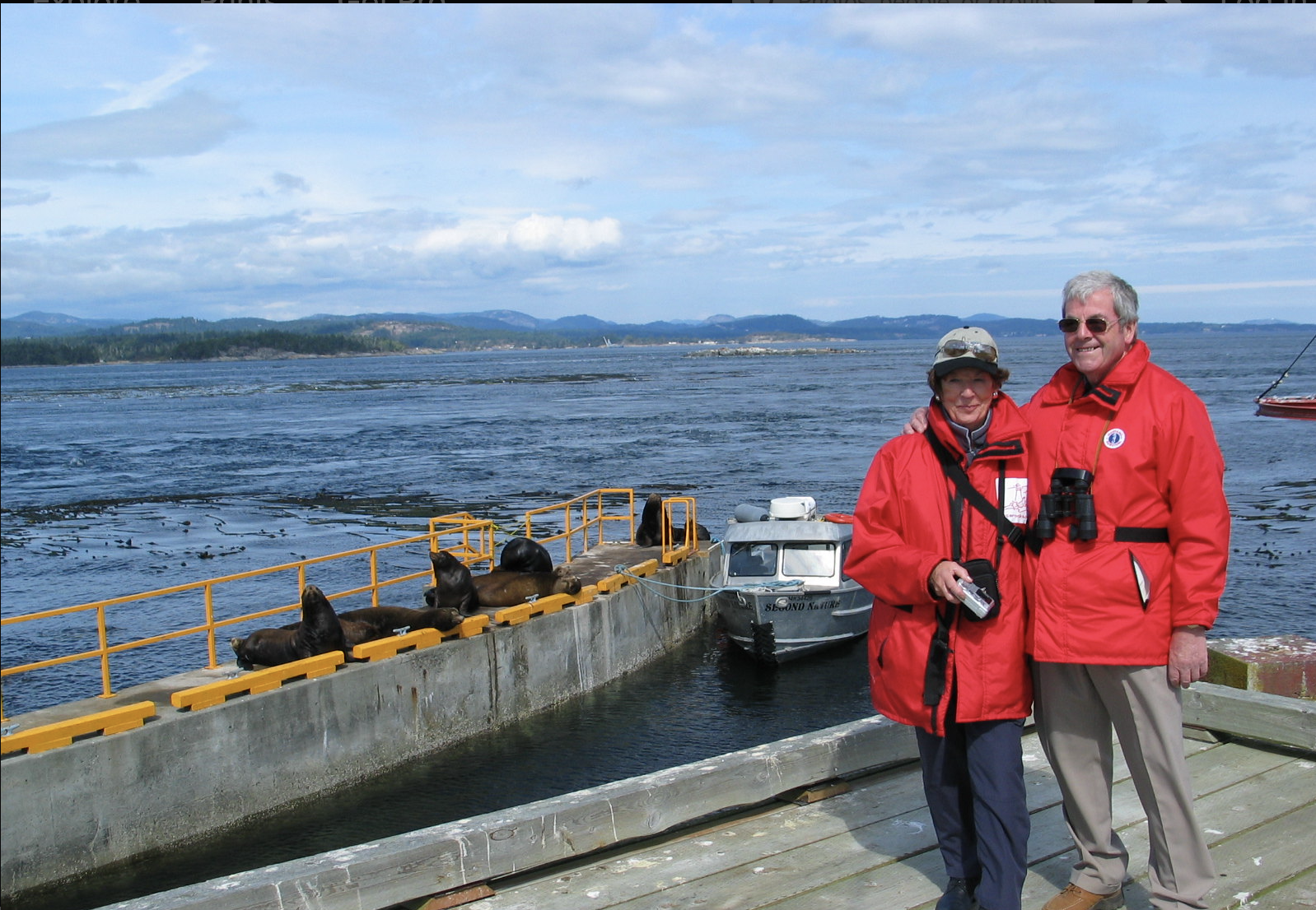
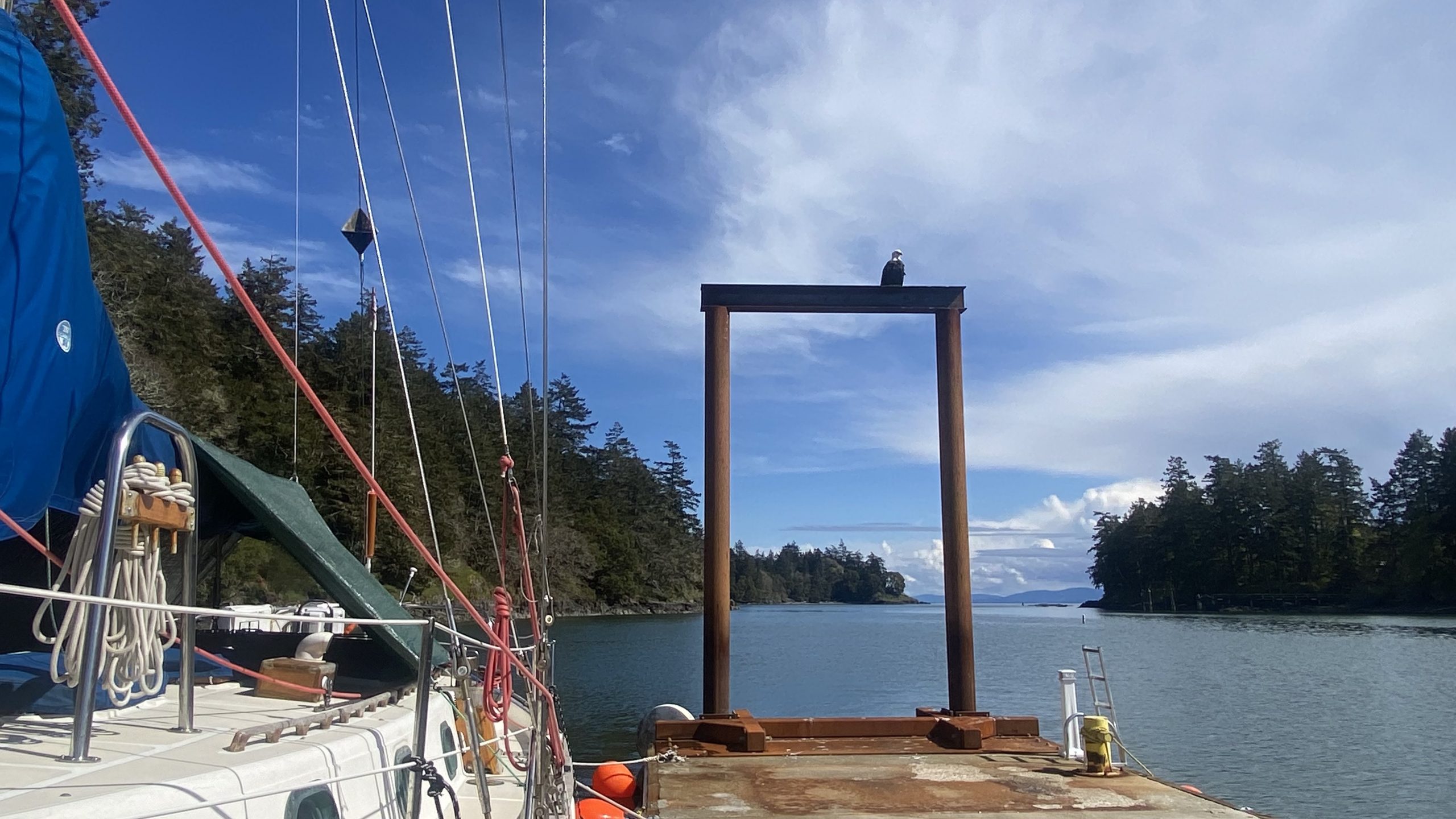
We departed Pedder Bay on Second Nature with Greg who was taking Joan Rosenburgh out for an Ecoguardian exchange.  Before leaving we noted a new perch location on the new docks at Pearson College .


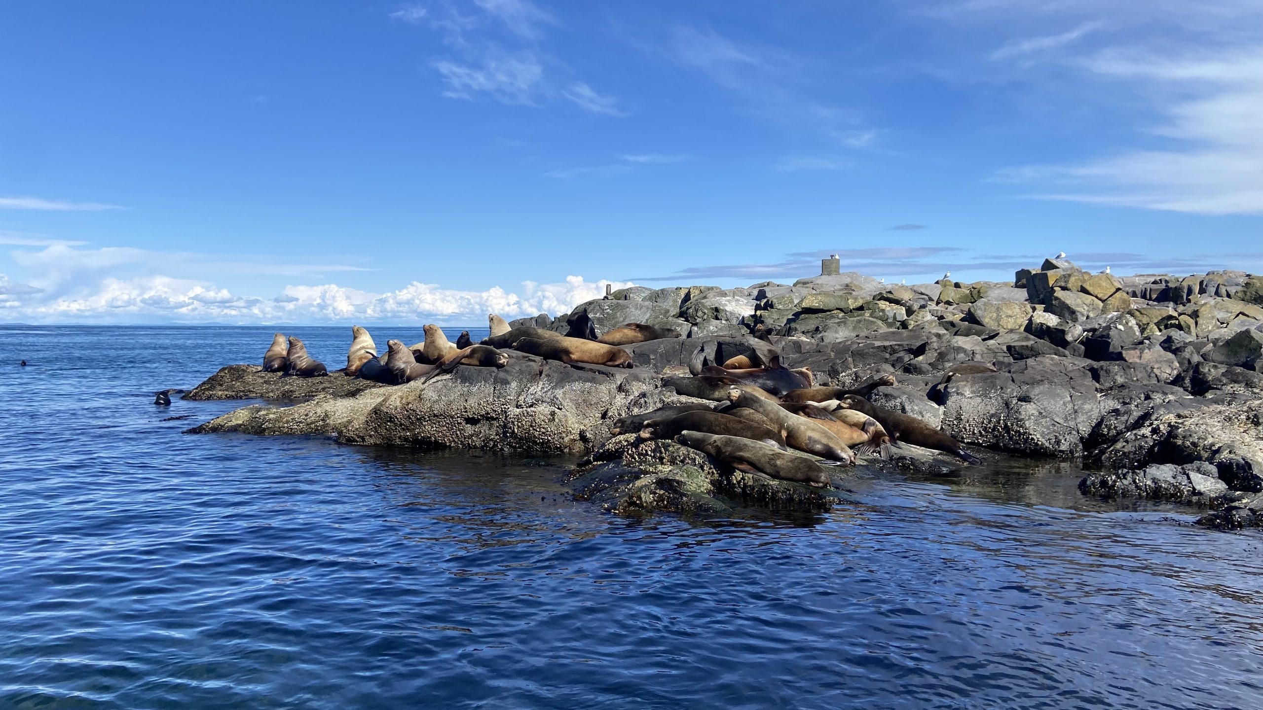
On arrival, a nice greeting from the group of Northern and Californian sealions near the docks

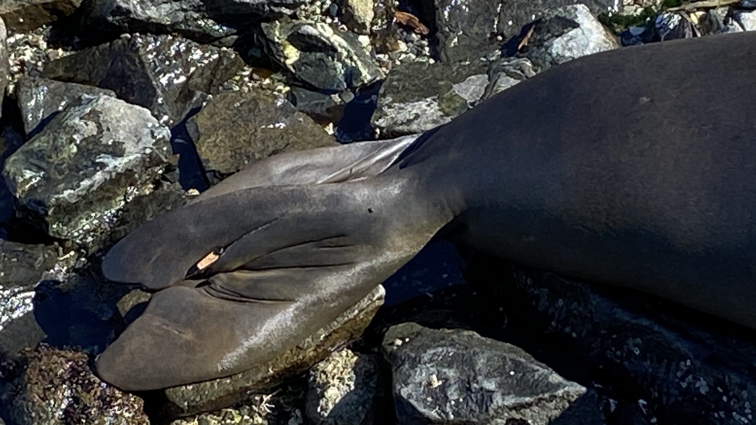
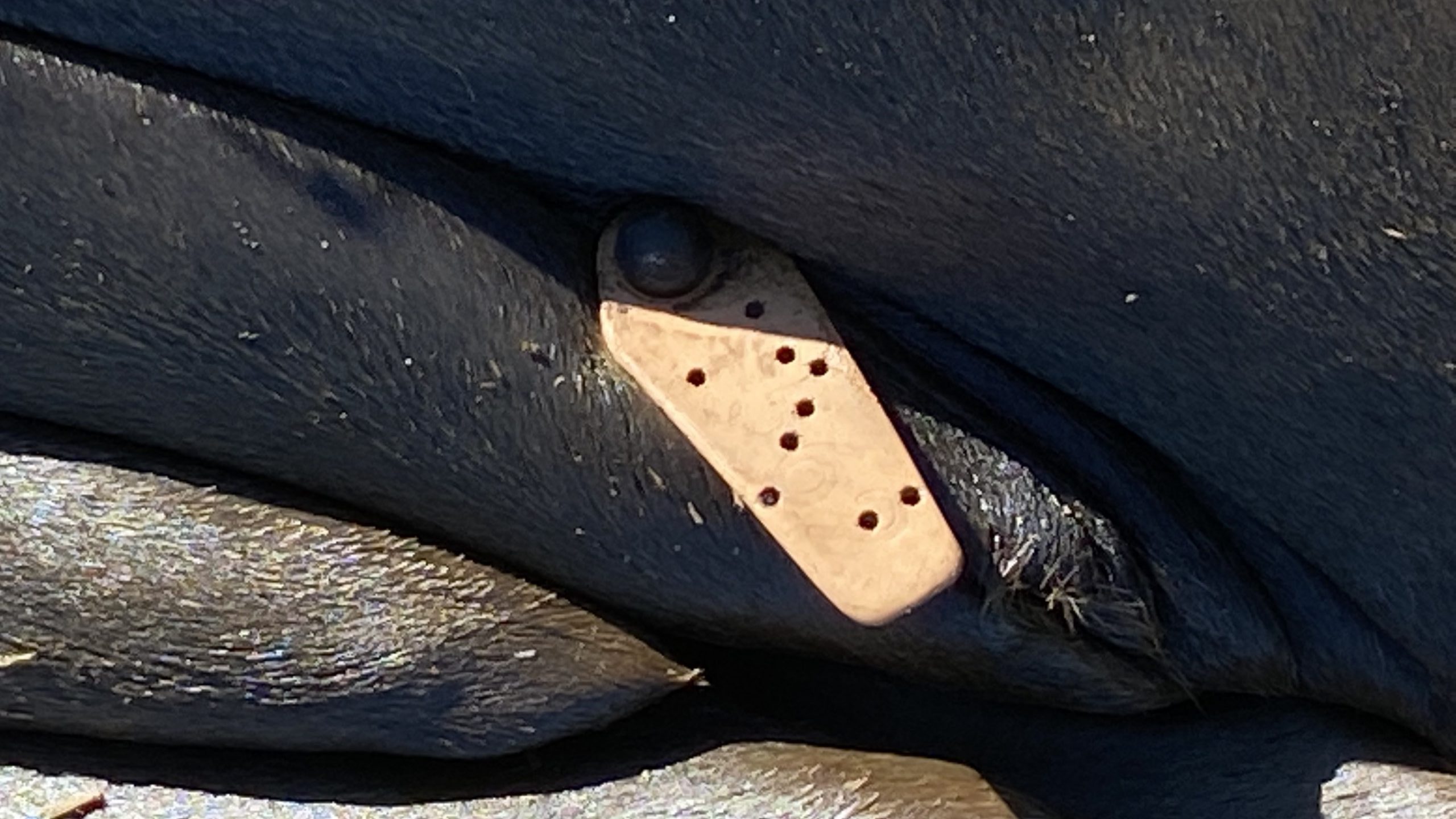
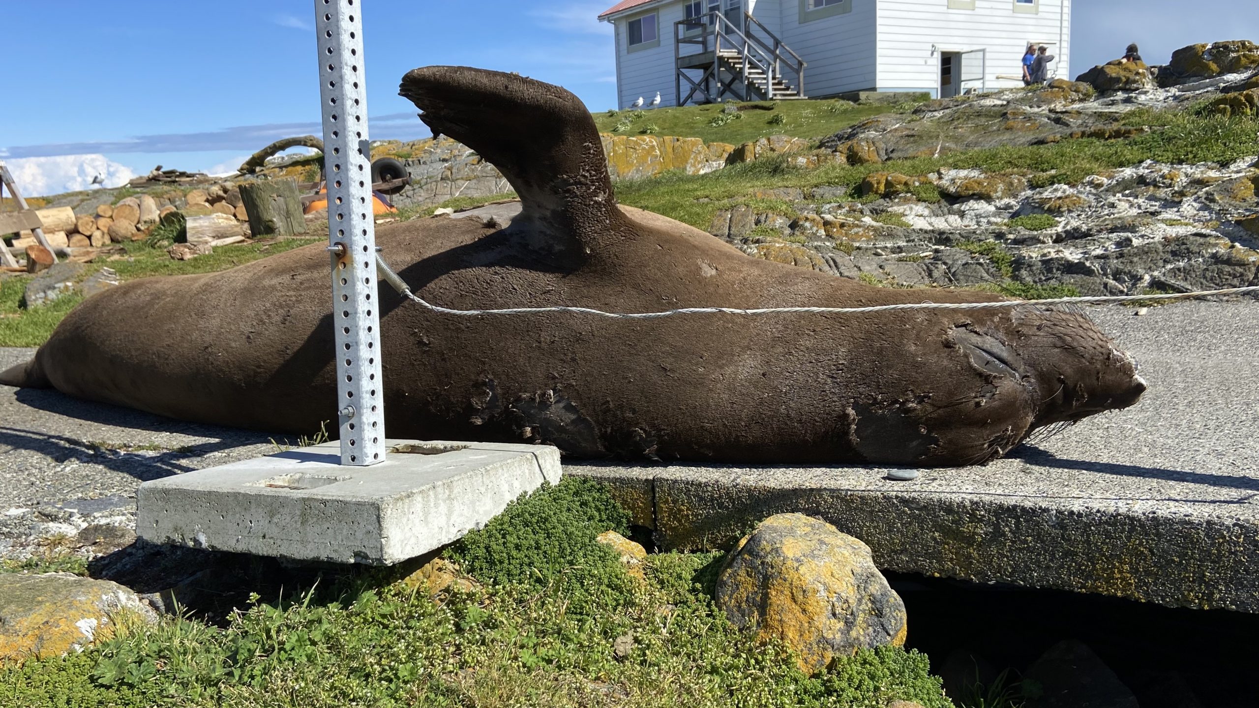
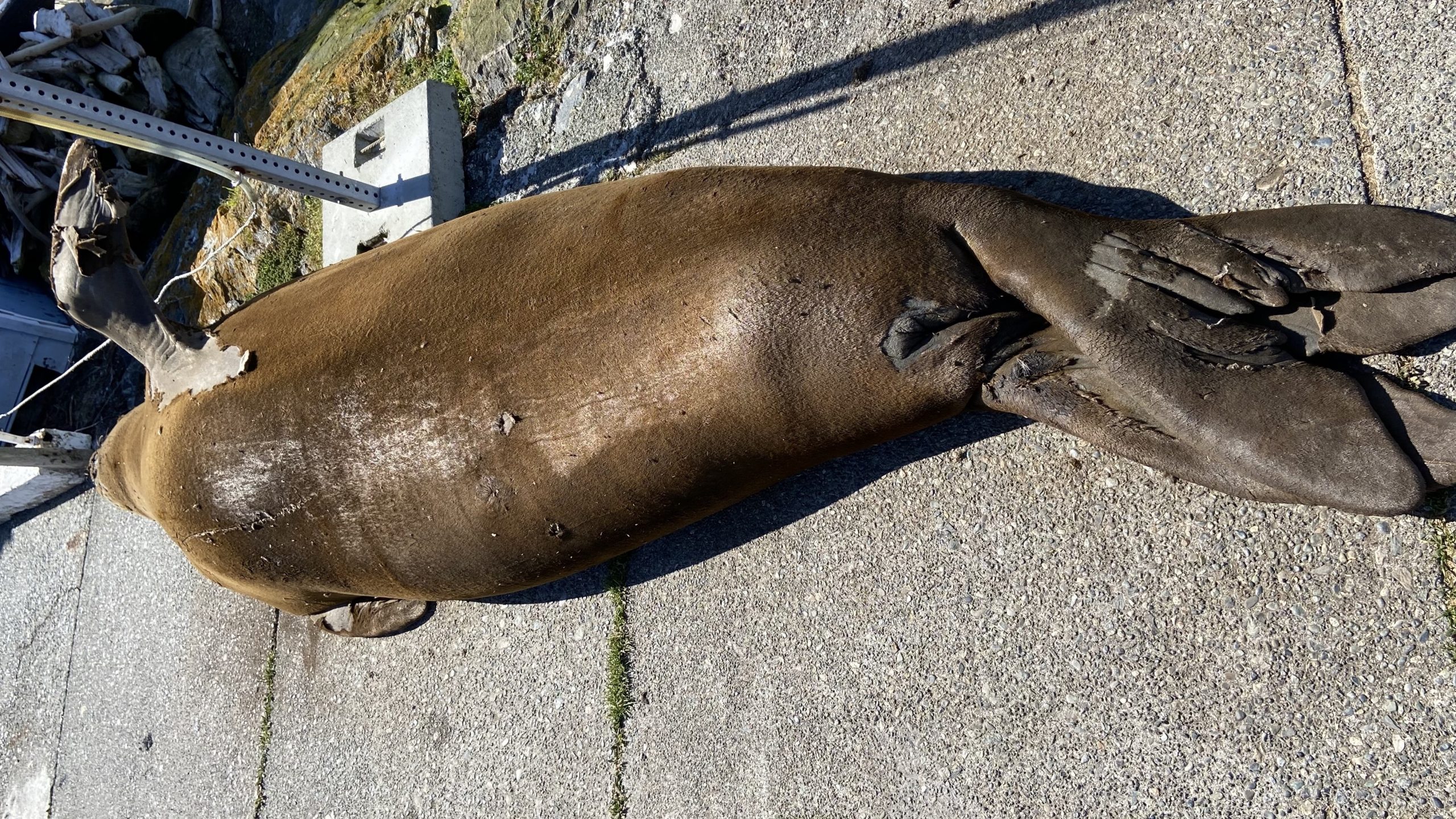
I took photos of all the adult elephant elephant seals still at the reserve :


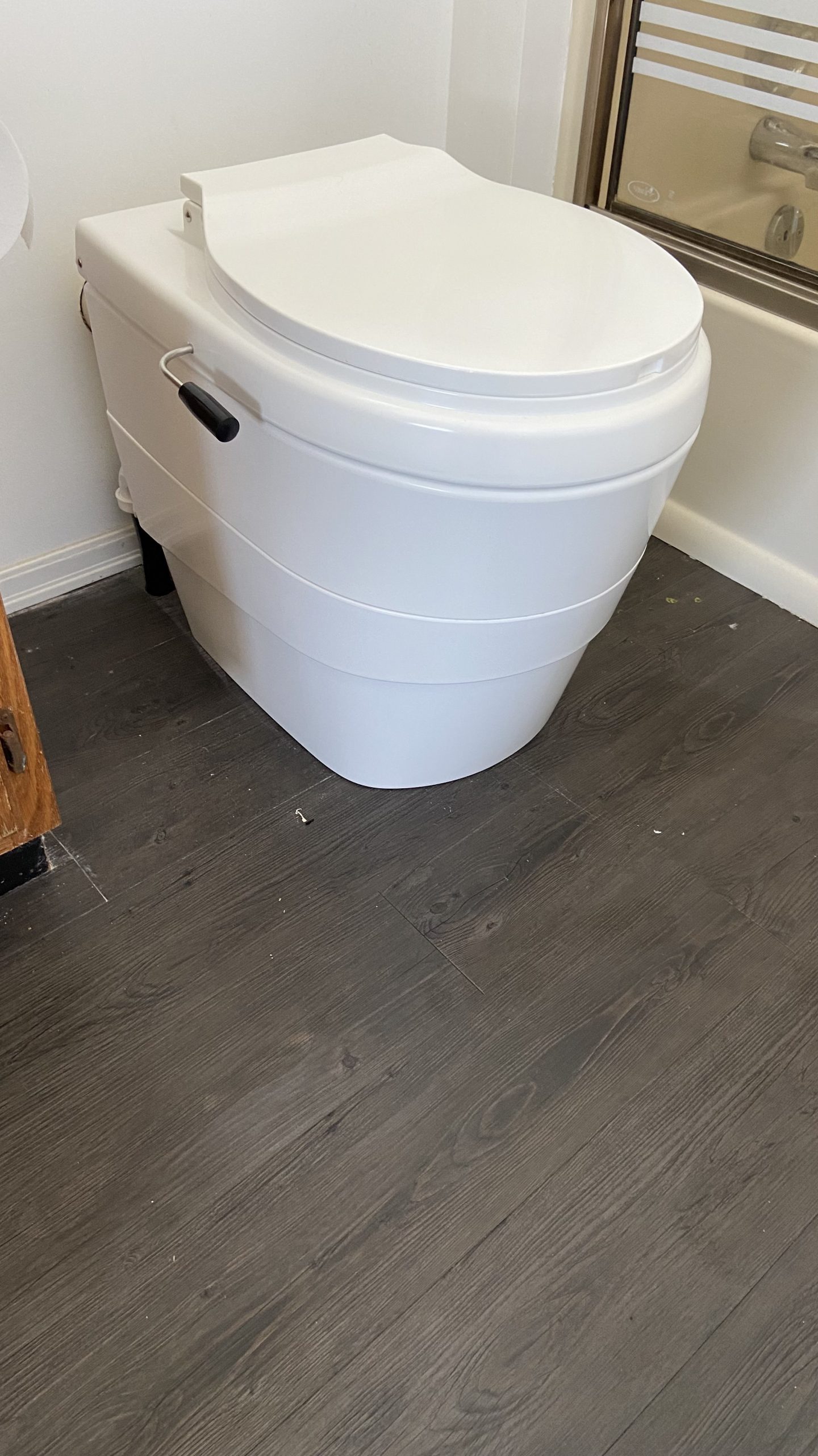
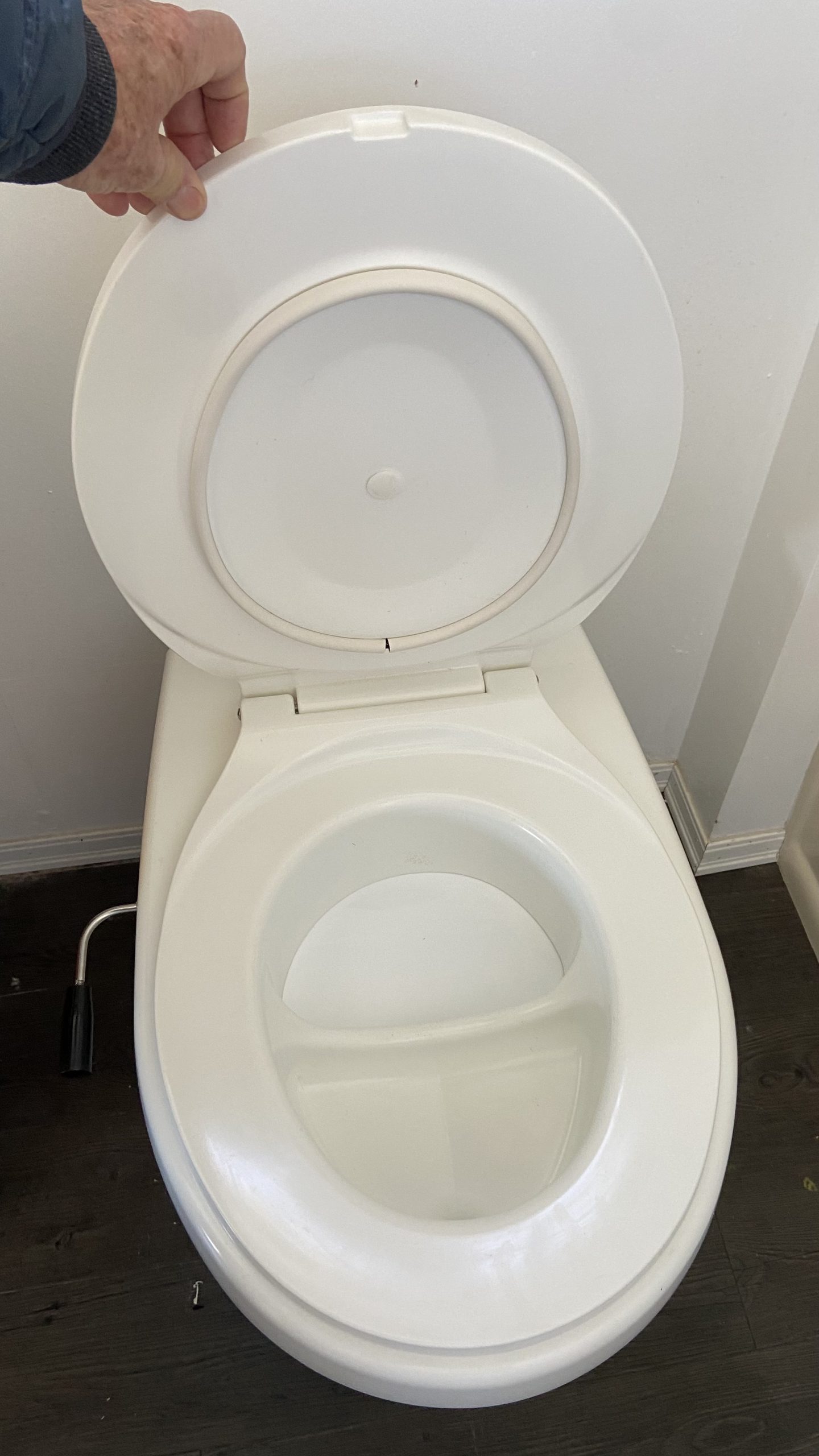
There have been many improvements that the Ecoguardians and the college staff have done since the last time i was here.One important improvement has been the installation of a new toilet system which seems to be a big improvement over past models.

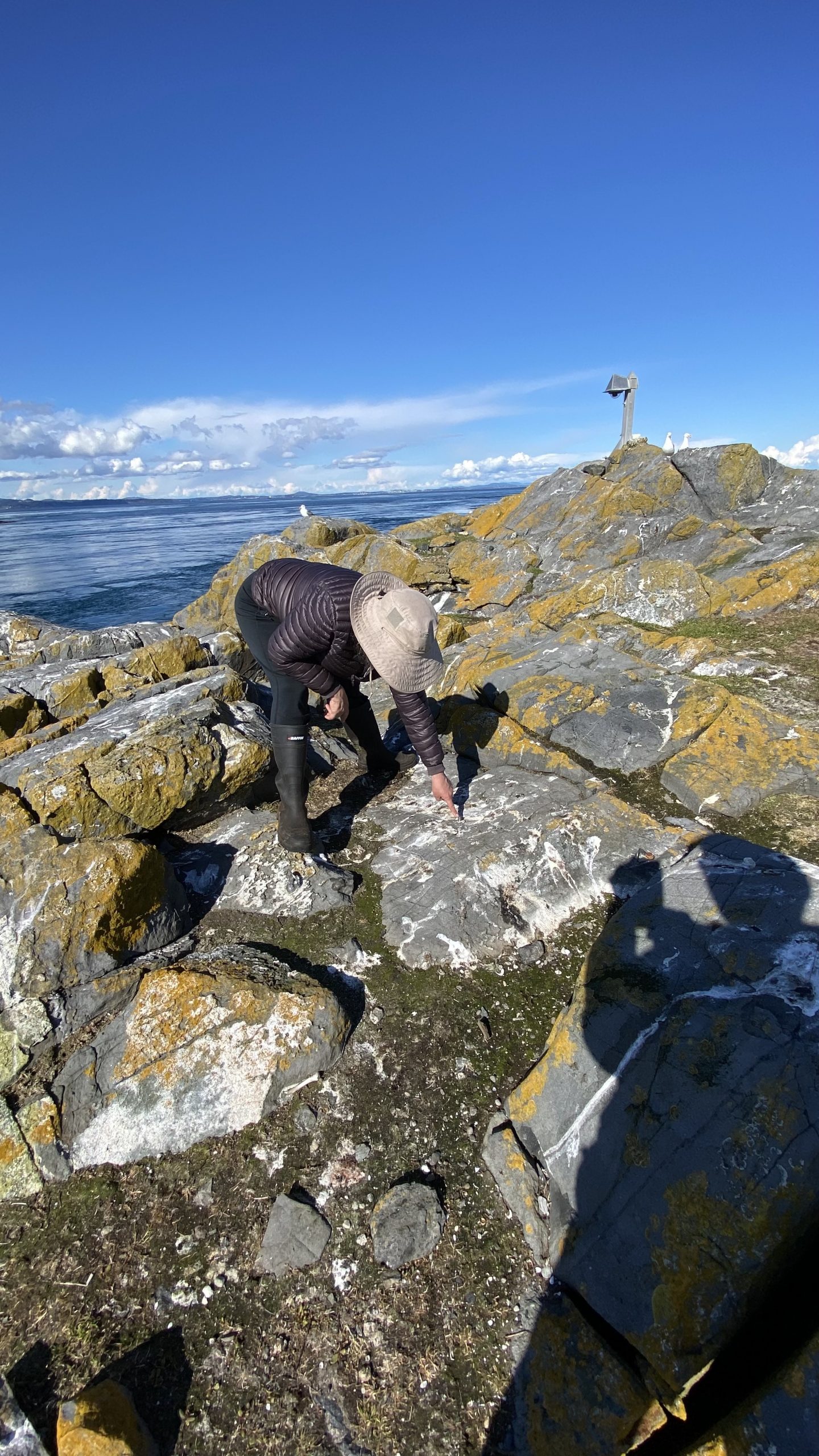
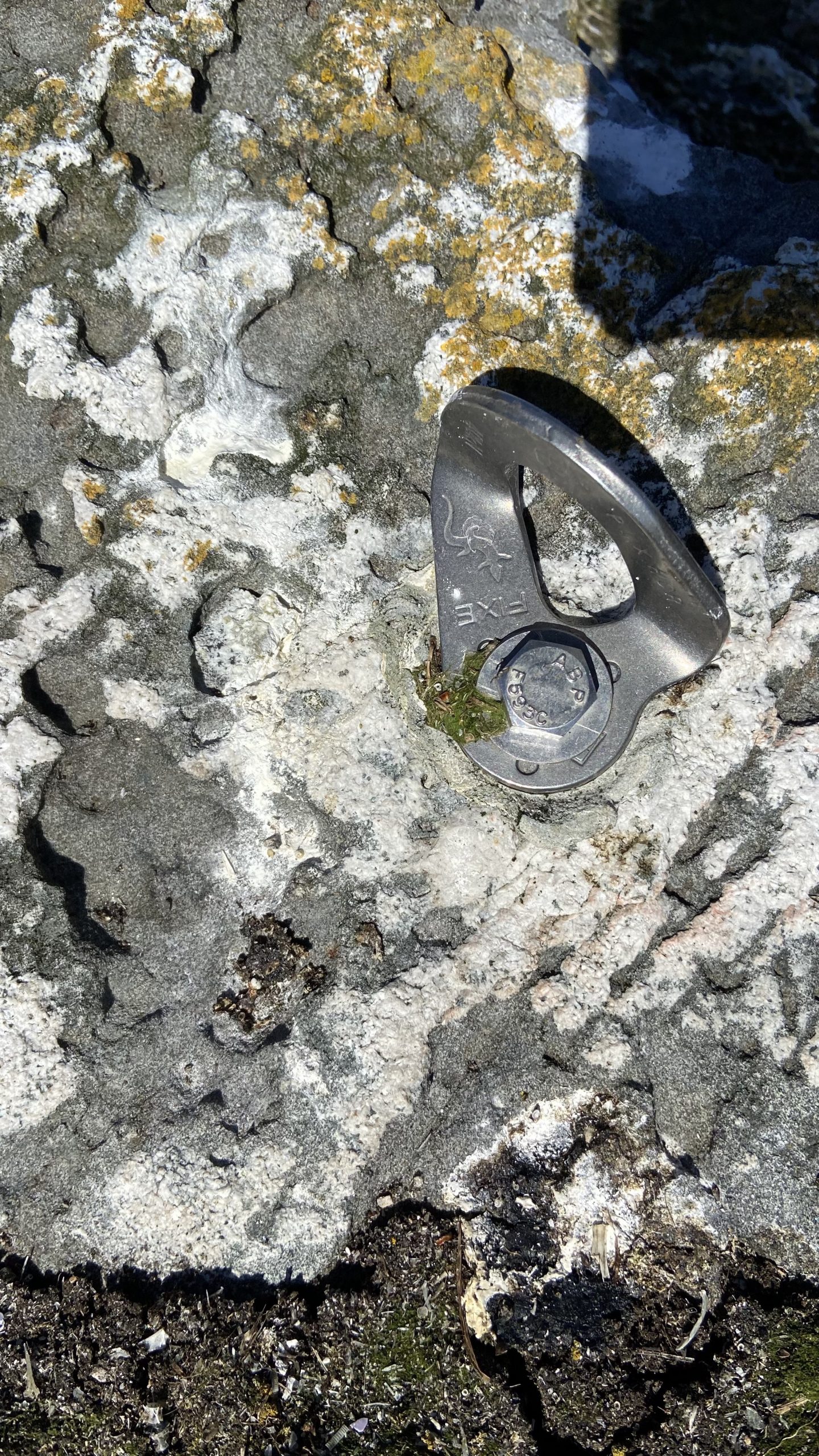
I was interested in relocating the spot where a new geo-positioning system was installed last year, since I had been unable to locate it one time when i was out there. So these pictures are for future reference for relocation. When scientists come out to recheck , the results from satellite triangulation at this spot can indicate the amount of tectonic plate movement .


50th Anniversary of Ecological Reserves in British Columbia

Often when we visit special ecological areas our observations are restricted to a limited view. In this video, we visited six diverse Ecological Reserves  with the goal of revealing some of their special features from  a distant viewpoint as well as a close up one. Under a special permit from BC Parks, Jamie Frith used his drone and a macrophotographic camera to enable us to present a unique perspective on the reserves.

This video was made for the Friends of Ecological Reserves with the support of BC Parks. We started the project in March 2021 and originally were only allowed by  BC Parks to film in  6 Ecological Reserves in the southern part of Vancouver Island due to restrictions of COVID 19. Plans to include ERs from the interior of the province also were not possible   As those restrictions were eased mid summer, we were able to extend our range and travel North to include the Nimpkish River ER,  in order to include a  representative area of mature Douglas Fir forest.

Ecological Reserves which we were able to include were: 

  • Nimpkish RIver  ER#118   start time- 1:20
  • San Juan RIdge  ER #83   start time- 5:58
  • Oak Bay Islands  ER #94    start time-11:02
  • Mount Tzuhalem  ER#112    start time- 16:38
  • San Juan River  ER#141   start time-  25:01
  • Race Rocks  ER#97    start time- 25.03


One of the goals of the Ecological reserves act is to provide protected places for research and education. Some reserves, especially those with seabird colonies  are closed to the public and only accessible  with a permit from BC Parks. Since it is illegal to fly a drone over any provincial (or federal) protected area without a permit, the use of the drone was possible only with permission and precautions for no disruption to animals.  As mentioned in several of the interviews, because of the sensitive ecological nature of the areas, the public is not encouraged to visit Ecological reserves.

THE 50th ANNIVERSARY: 
On April 2, 1971, the Government of British Columbia became the first jurisdiction in Canada to pass legislation to protect Ecological Reserves, places set aside primarily for ecological research and education, not recreation. The Ecological Reserve Act led to an Order in Council that established the first 29 ecological reserves on May 4, 1971. Fifty years later, British Columbia has 148 ecological reserves across the entire province. This video features just a few of the ones on Vancouver Island. In 2021, the BC government proclaimed April 2nd as Ecological Reserves Day in commemoration of the 50th anniversary of the passing of the Ecological Reserve Act.”

Protecting rare species and ecosystems is just one of the reasons to have an ER established. Equally important was protecting representative examples of natural ecosystems. See the wording in the Purpose section of the ER Act:
Garry Fletcher

Revisiting Intertidal Transect sites at Race Rocks

Watden’s Report, September 3, 2021

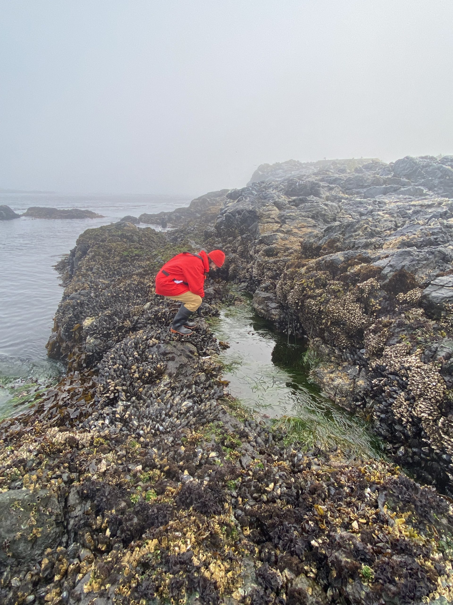
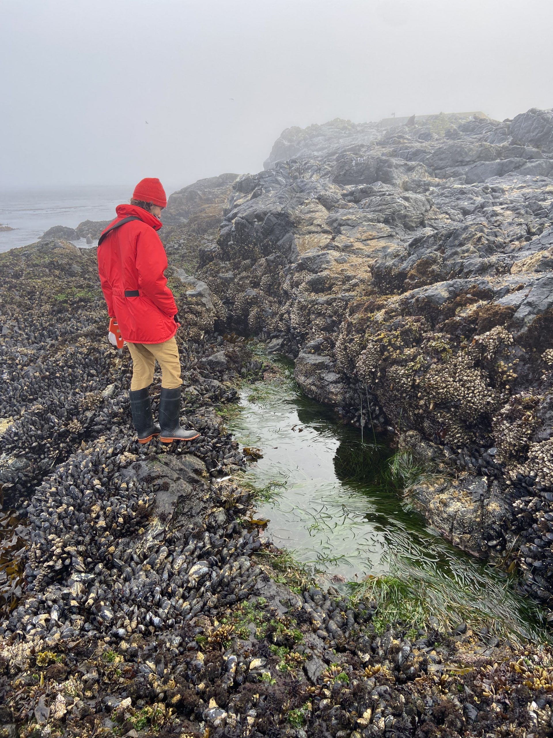
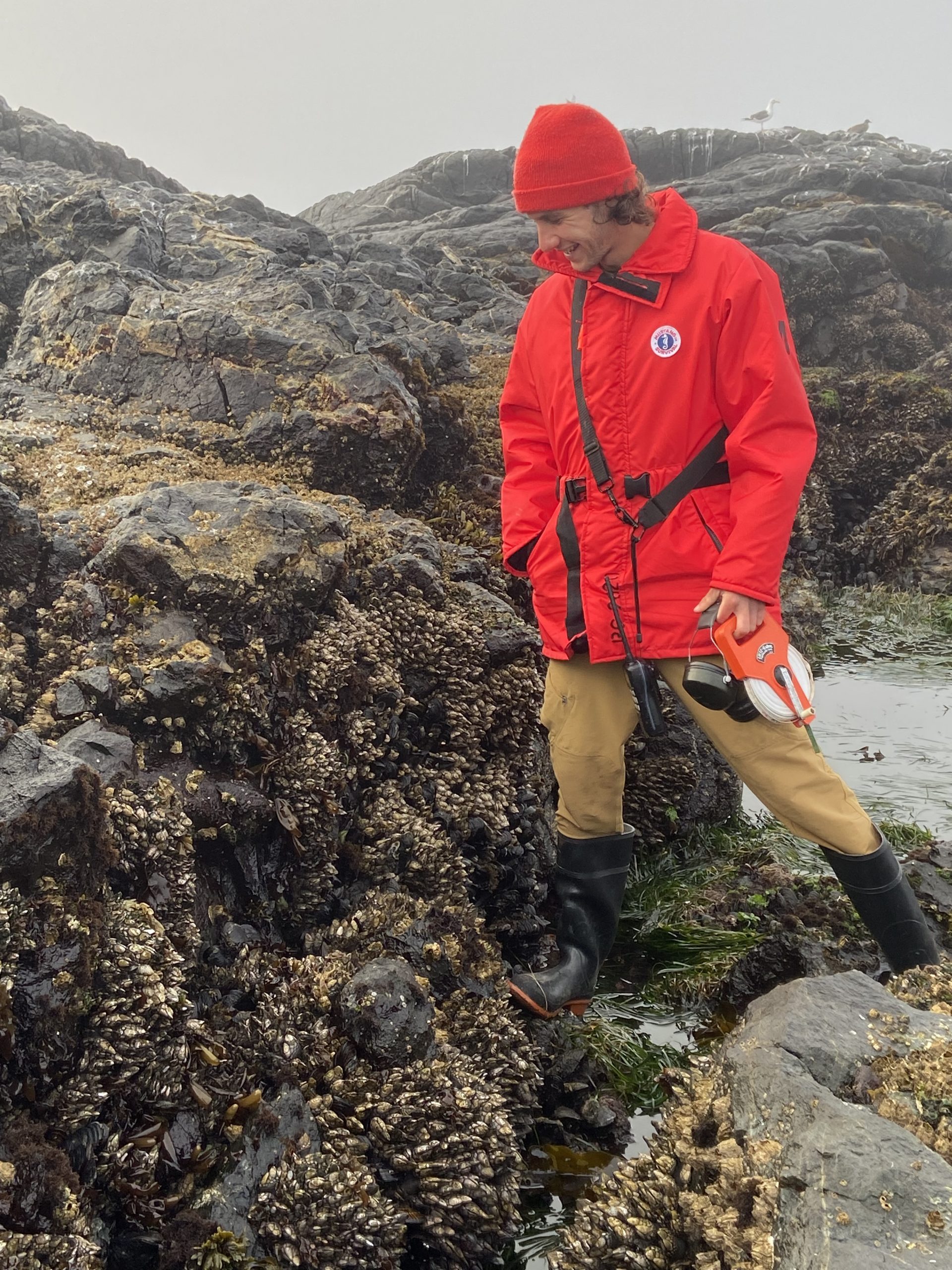
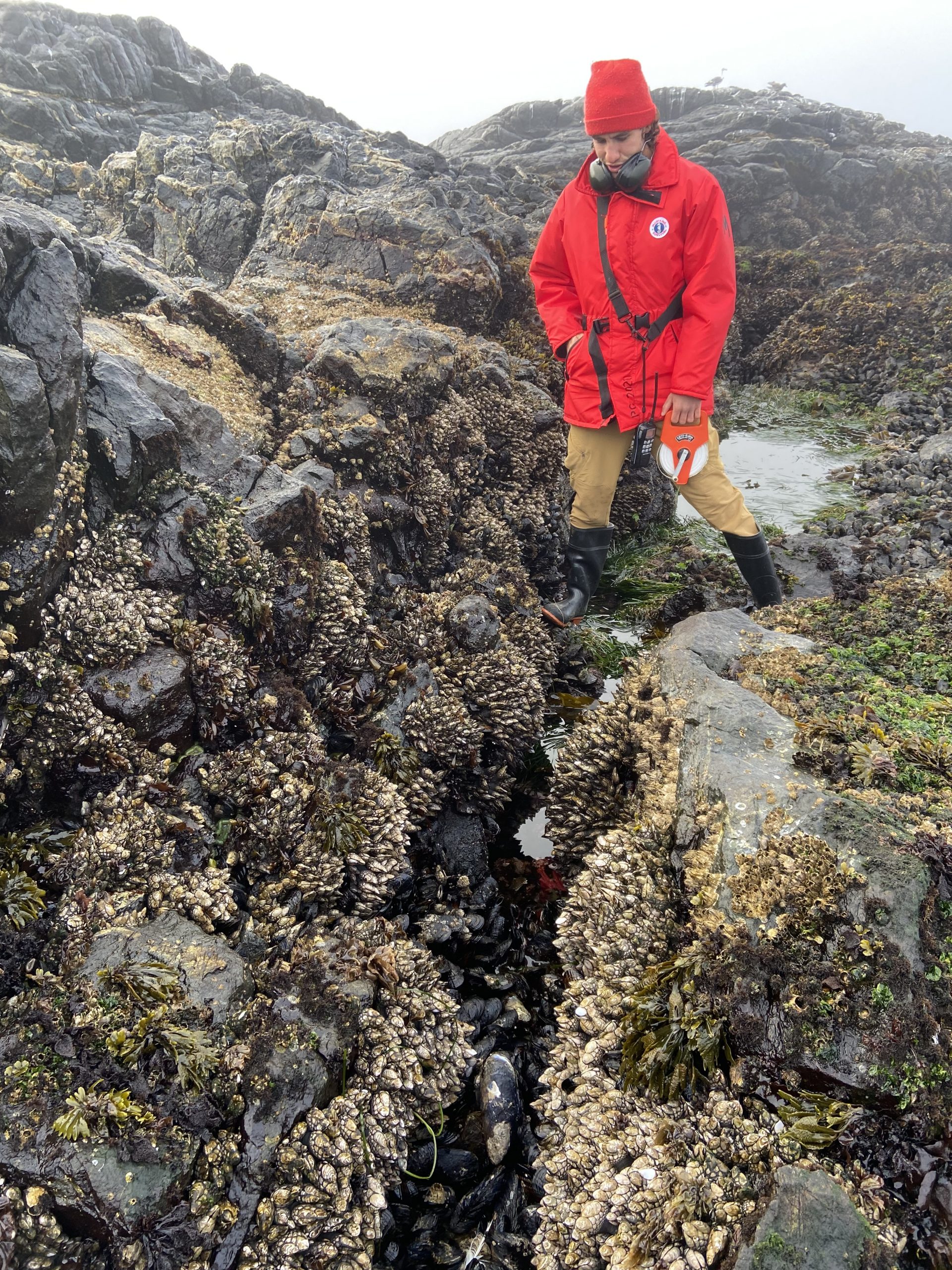
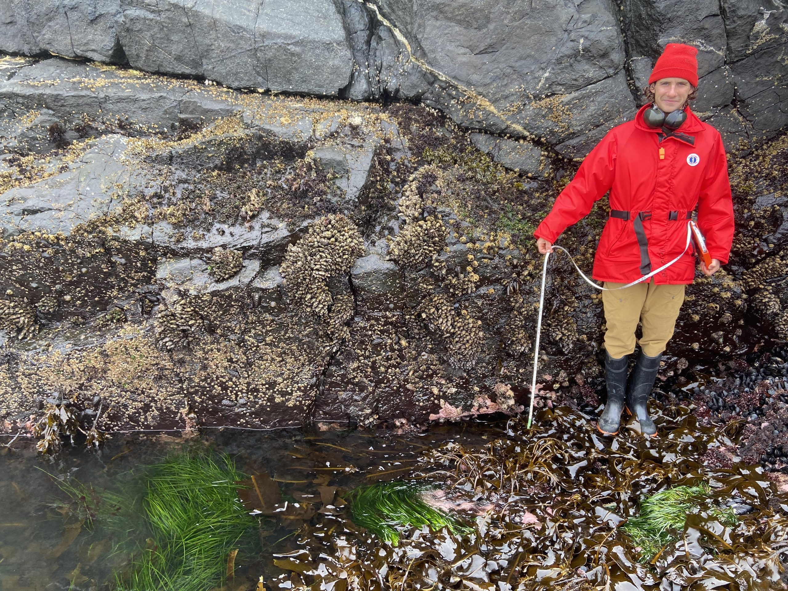
I was fortunate to be able to get out to Race Rocks on one of the last morning low tides of the season. I wanted to revisit intertidal locations around the island in order to take photos of belt transects in locations I had recorded with baseline studies back in May of 1995. Photographic transects are valuable records in the event of changes that may happen along coastlines, usually caused by humans and/or by extreme weather events . 


Images taken in 1995 can be seen in this index on transects: https://racerocks.ca/ecology/ecological-monitoring/

The belt transect files with images will be linked here when they have been processed :

Peg 6  Peg5: Peg 5a  Peg 5b Peg 14a,  Peg 14b Peg 115. 

I was fortunate to have the assistance of Cedric Torres, the ecoguardian in doing the work on the transects.


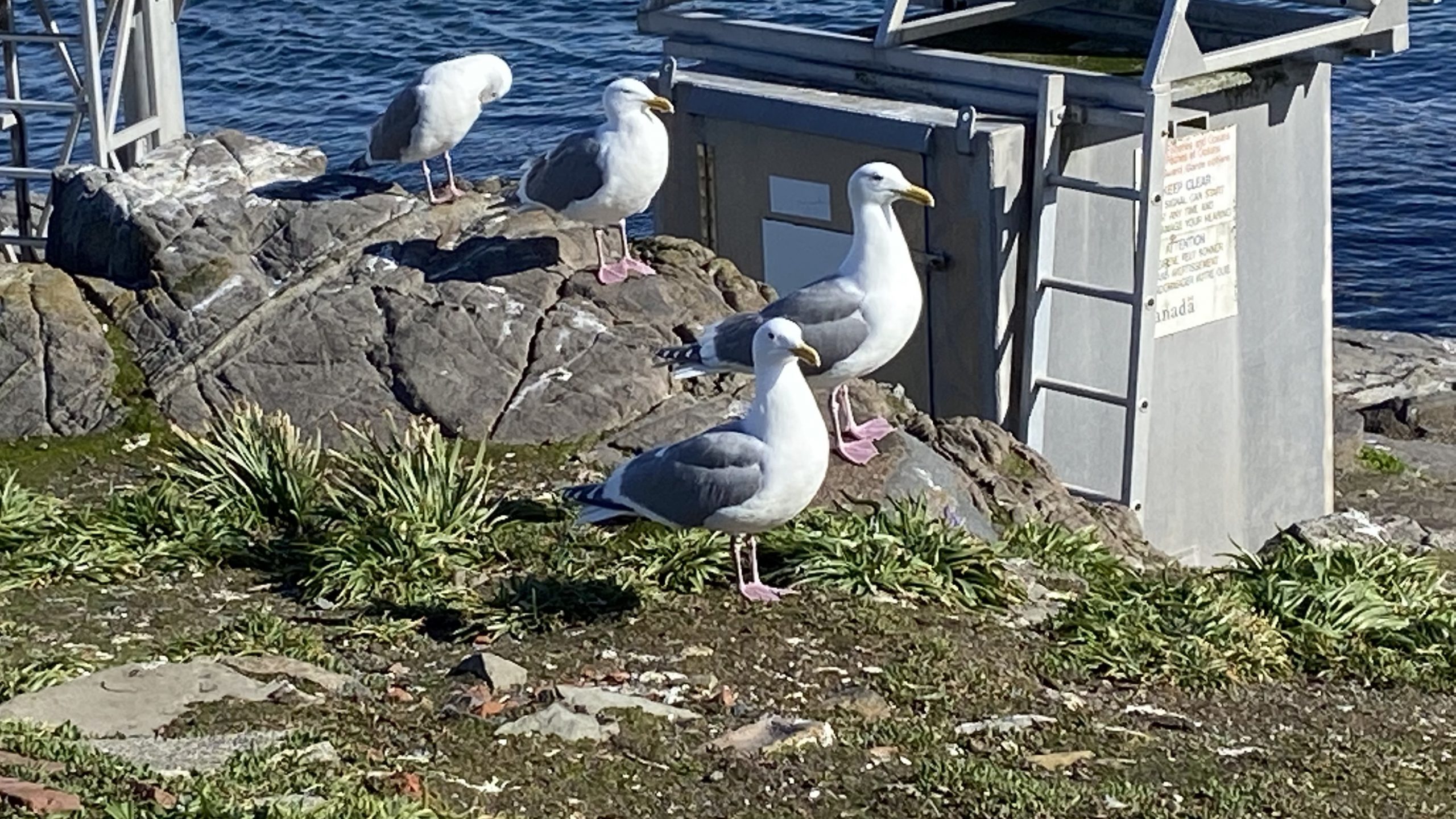
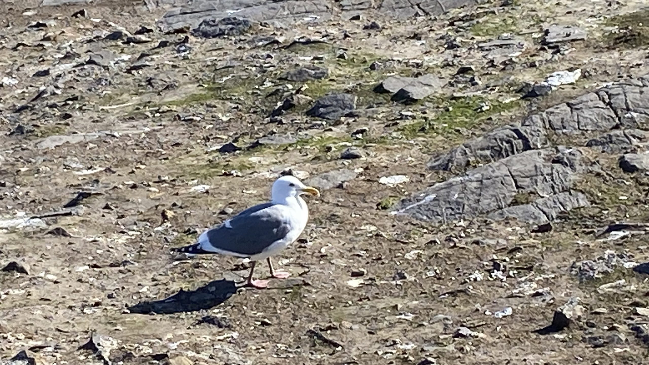
At this time of year the island is populated by many young  glaucous-winged gulls, some fully fledged and other son various states of maturity. There were also a number of mortalities around the island which is typical for this time of year in a breeding colony.  In the following videos a number of behaviours of the chicks are shown .

Harbour seals with pups are hauled out on the southern most reef, note the current was still  ebbing in this video.

The California and Stellers sea lions have started coming back in large numbers. typically the Californias outnumber the Stelllers at this time of year.

Beneath the tower, the Californians( barking)  are predominant: but there is alos a mix of the growling Stellers.


On the East side cove a large group of Californian Sea lions were hauled out. The ones here were very skittish, any movement near the east end of the  house would startle them

.

Other observations : two orcas in Race Passage ( surprizingly with no whale watching boats nearby.  The nice weather on Sept 3 brought out many whale watching boats and as usual they approach closer to the north side in front of the docks than necessary and well within the distance for viewing marine mammal colonies. The sea lions on that side are more habituated to the presence of humans and these boats than on other parts of the island, but many still go into an alert stage when the boats pass by.

Only a few pelagic cormorants were seen on the south west tip of the island.

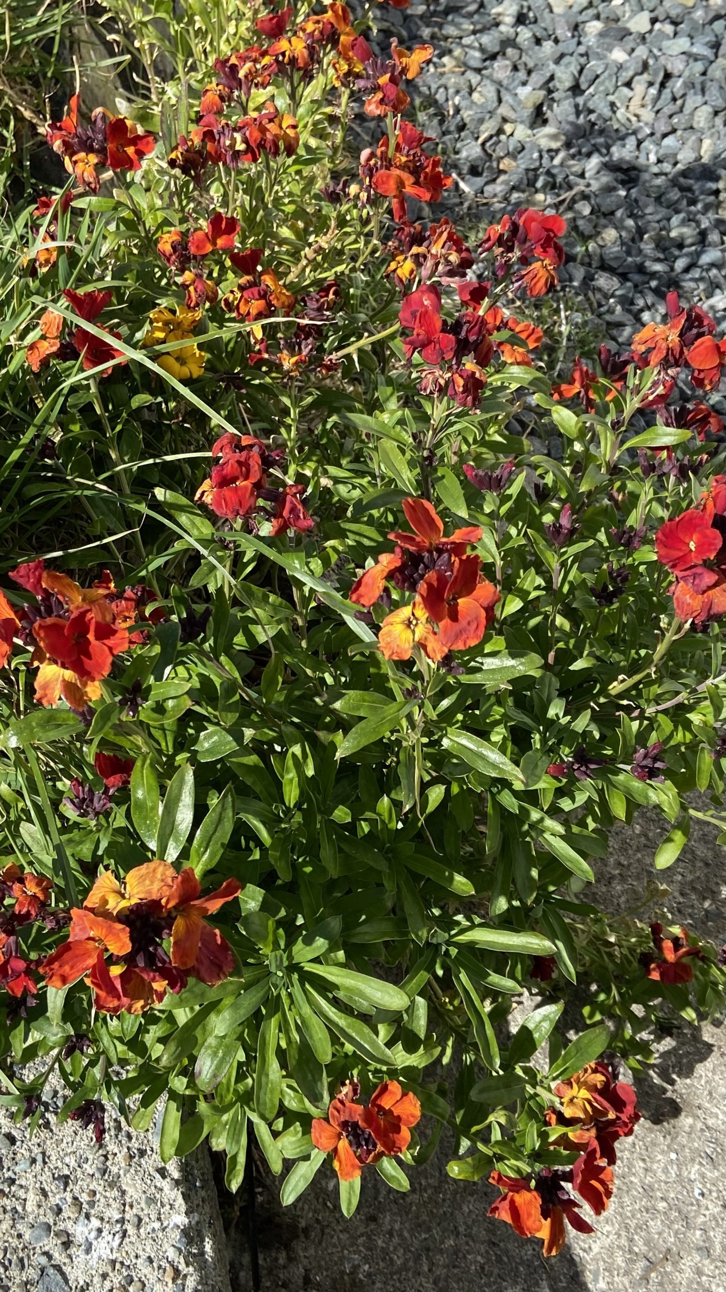
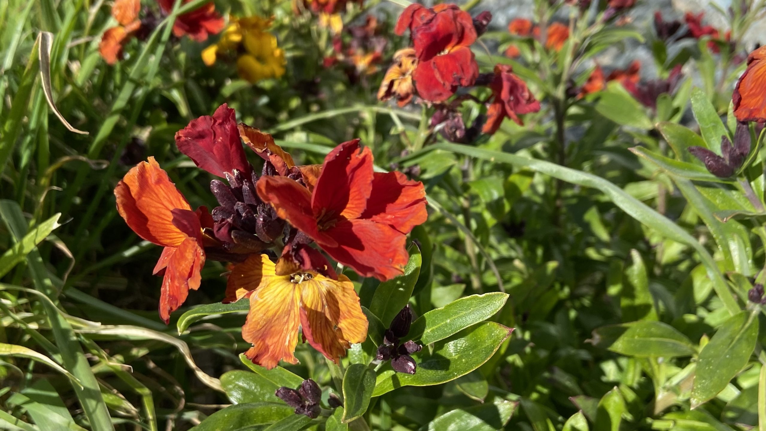
The Calendula escapes from gardens of lightkeepers over 50 years ago still exist along the pathways, although the dry summer has been challenging. I was able to make a new species observation of these green blow flies on the flowers.


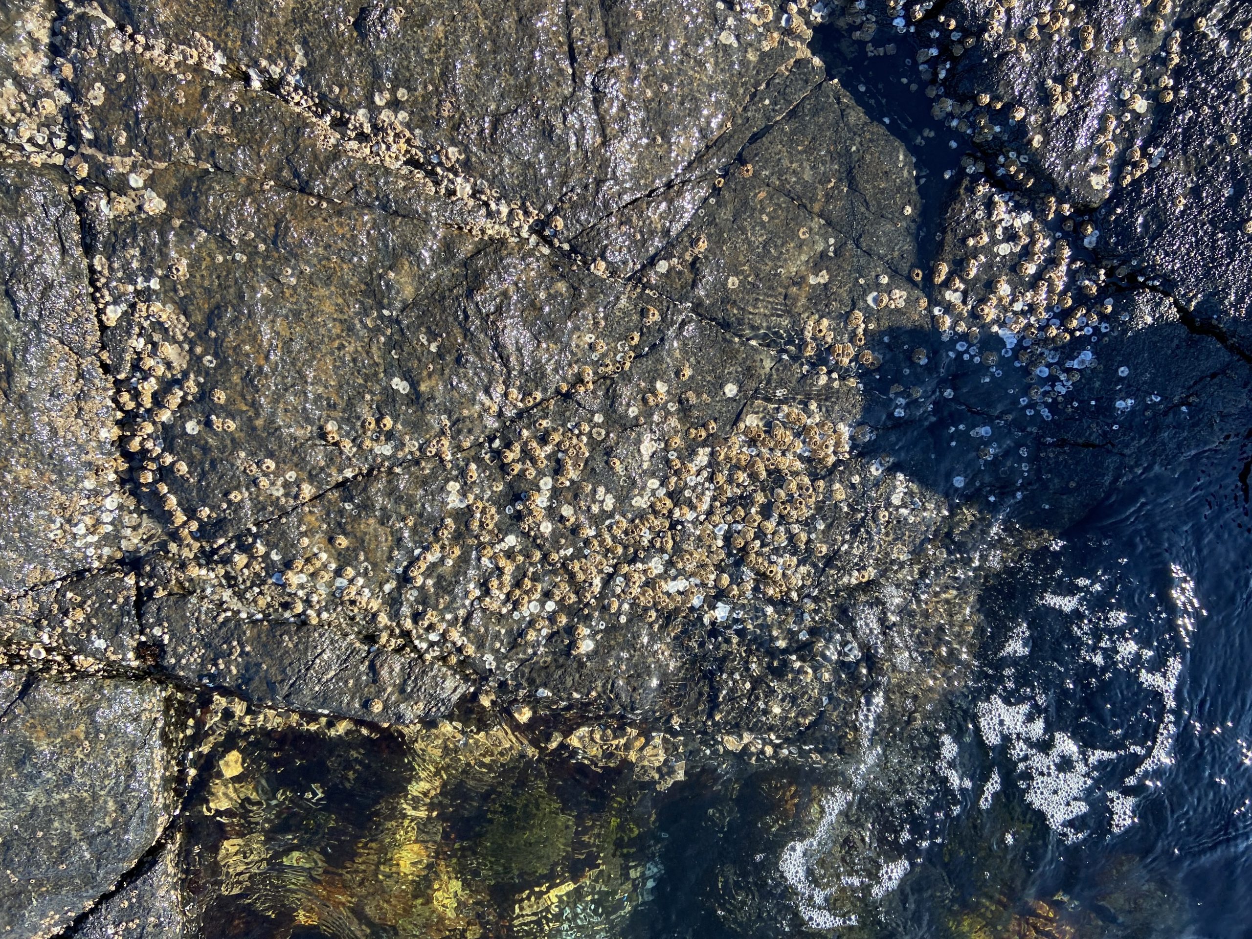
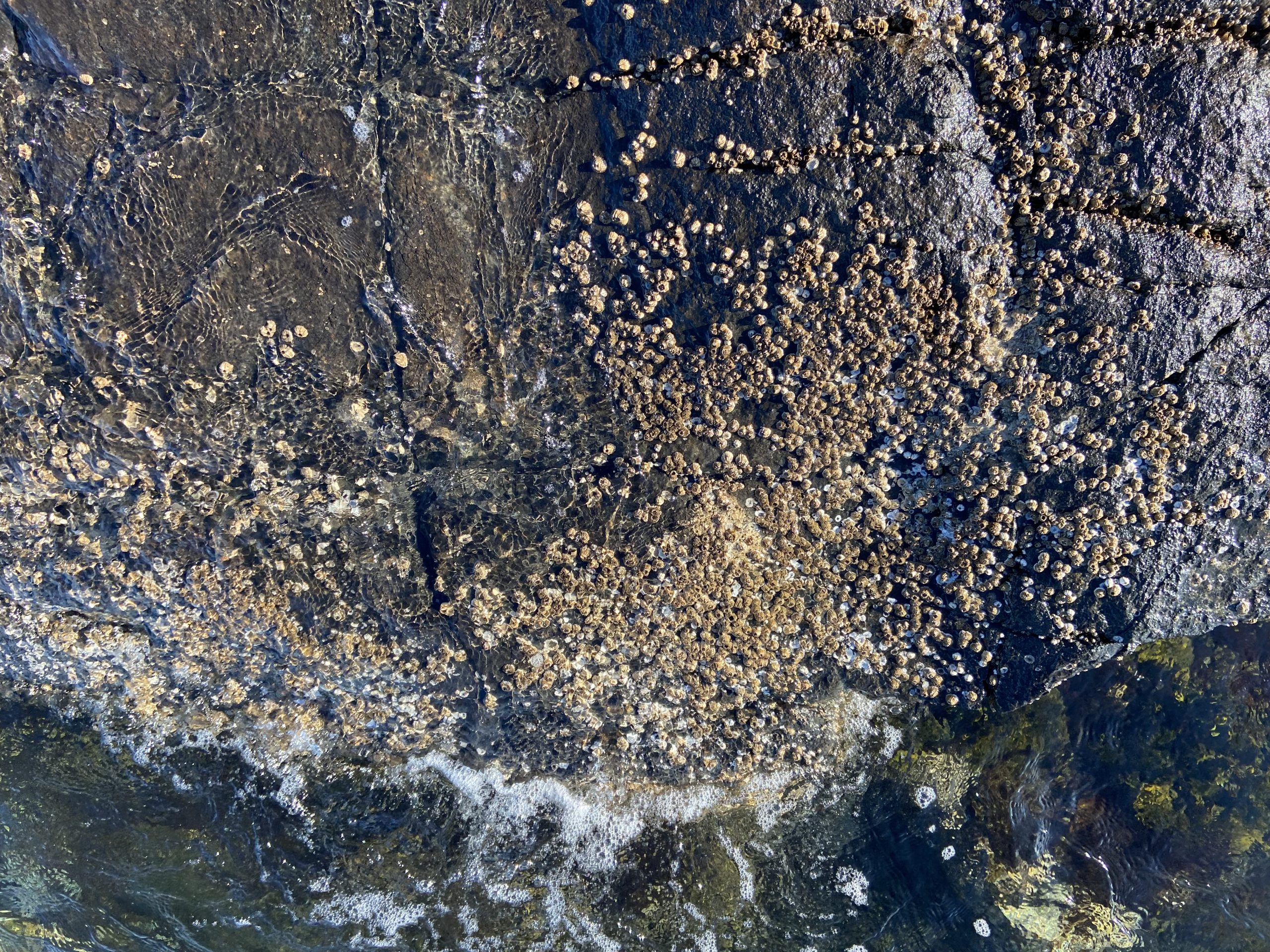
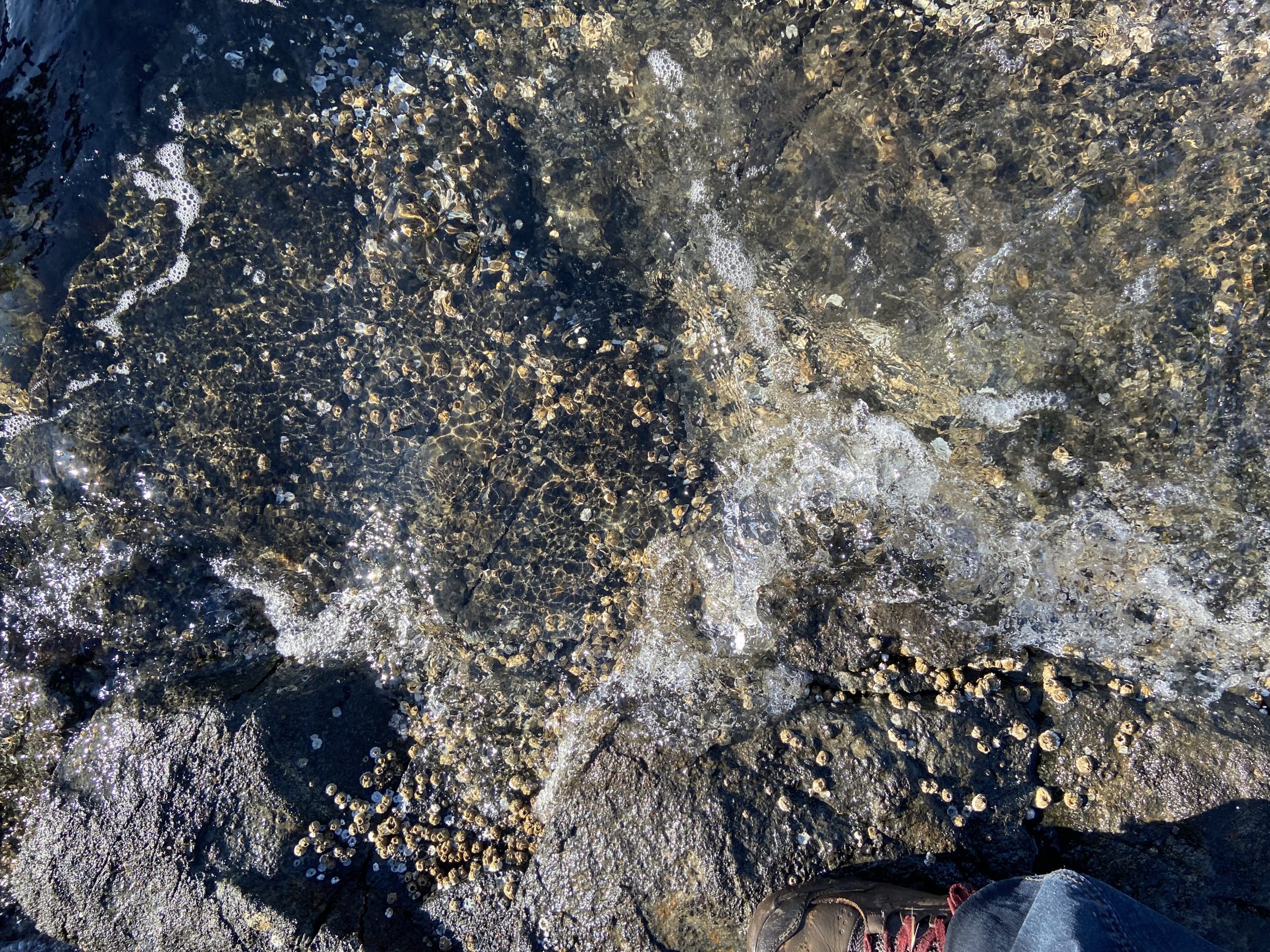
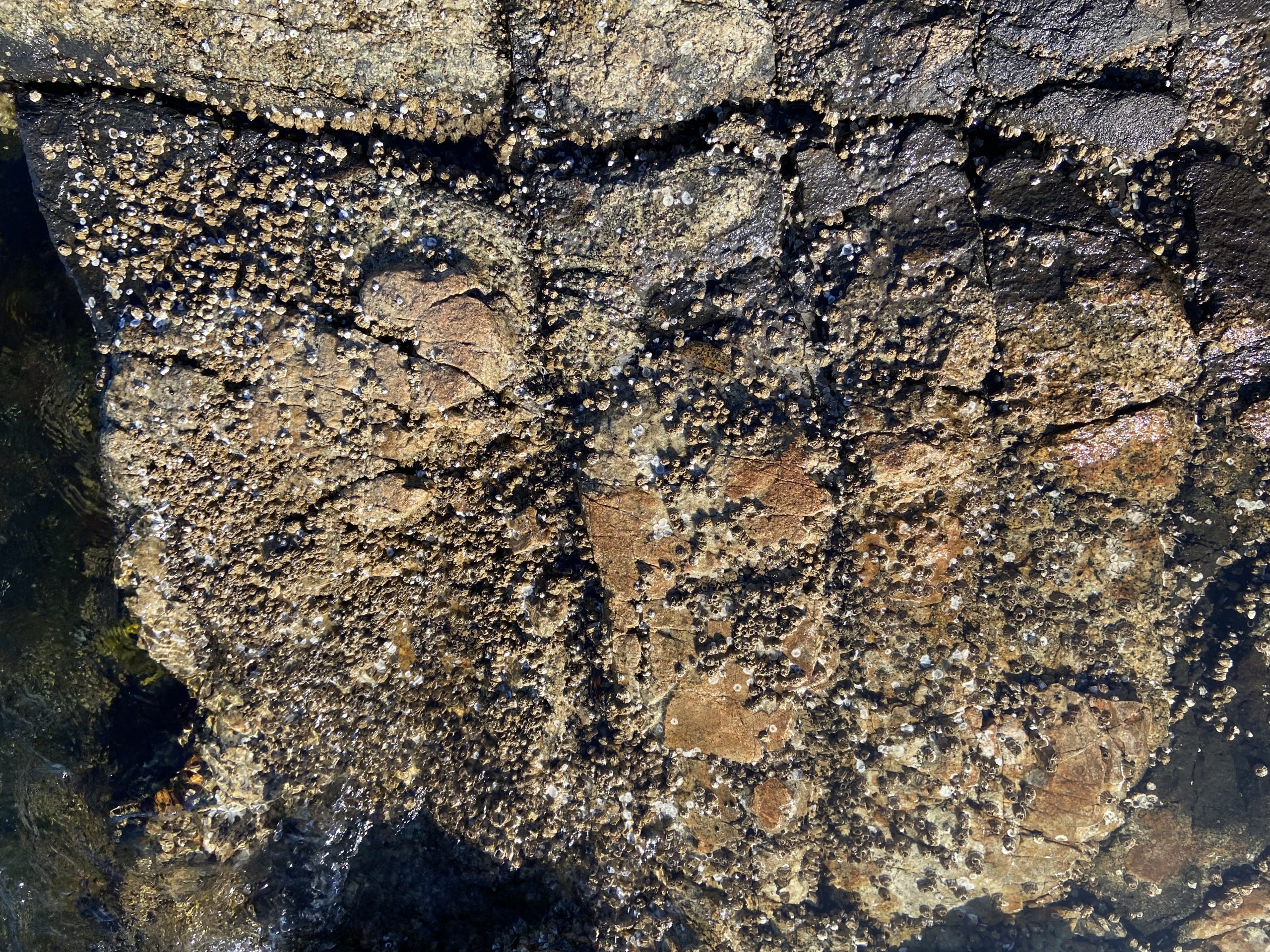
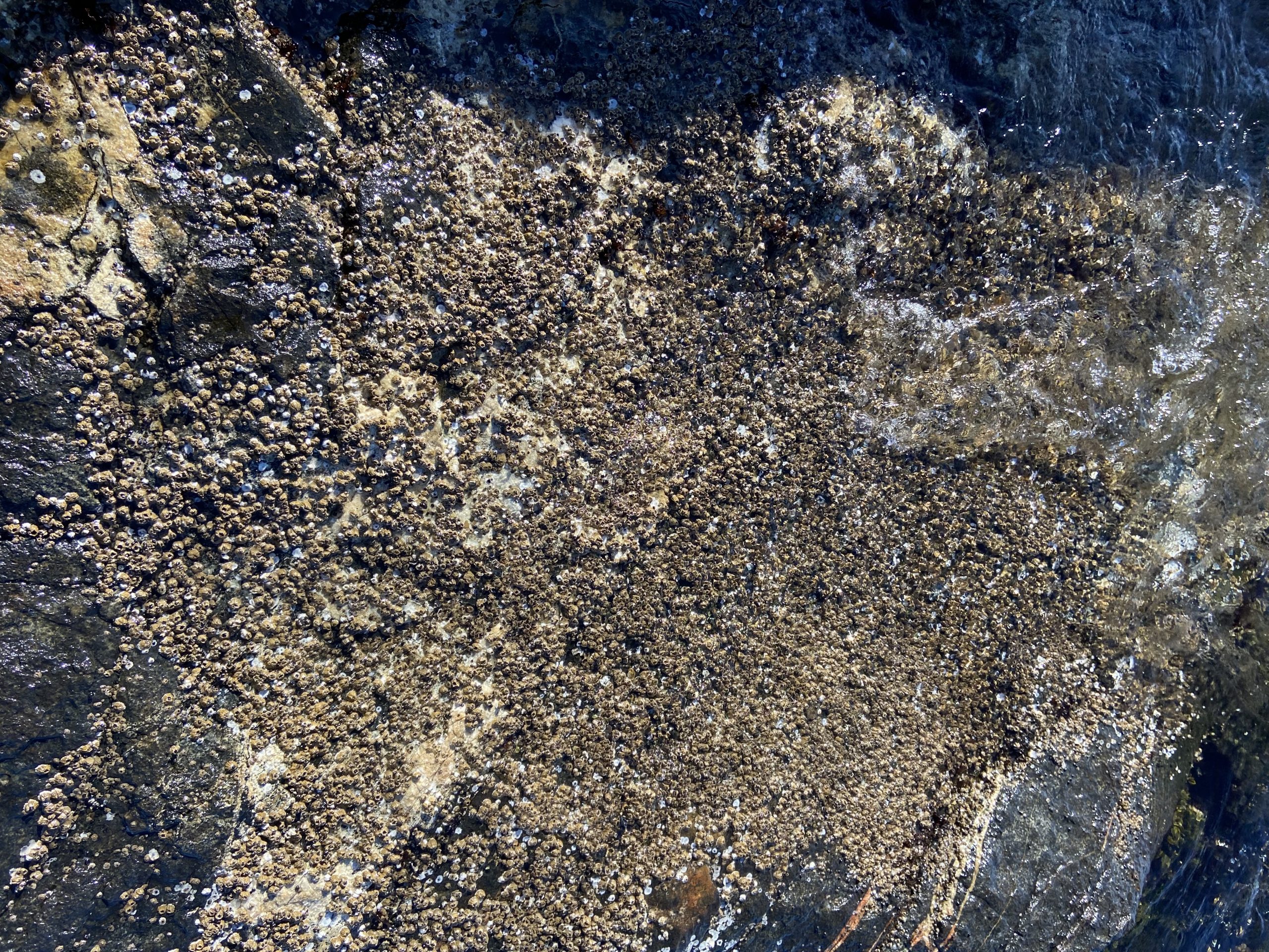
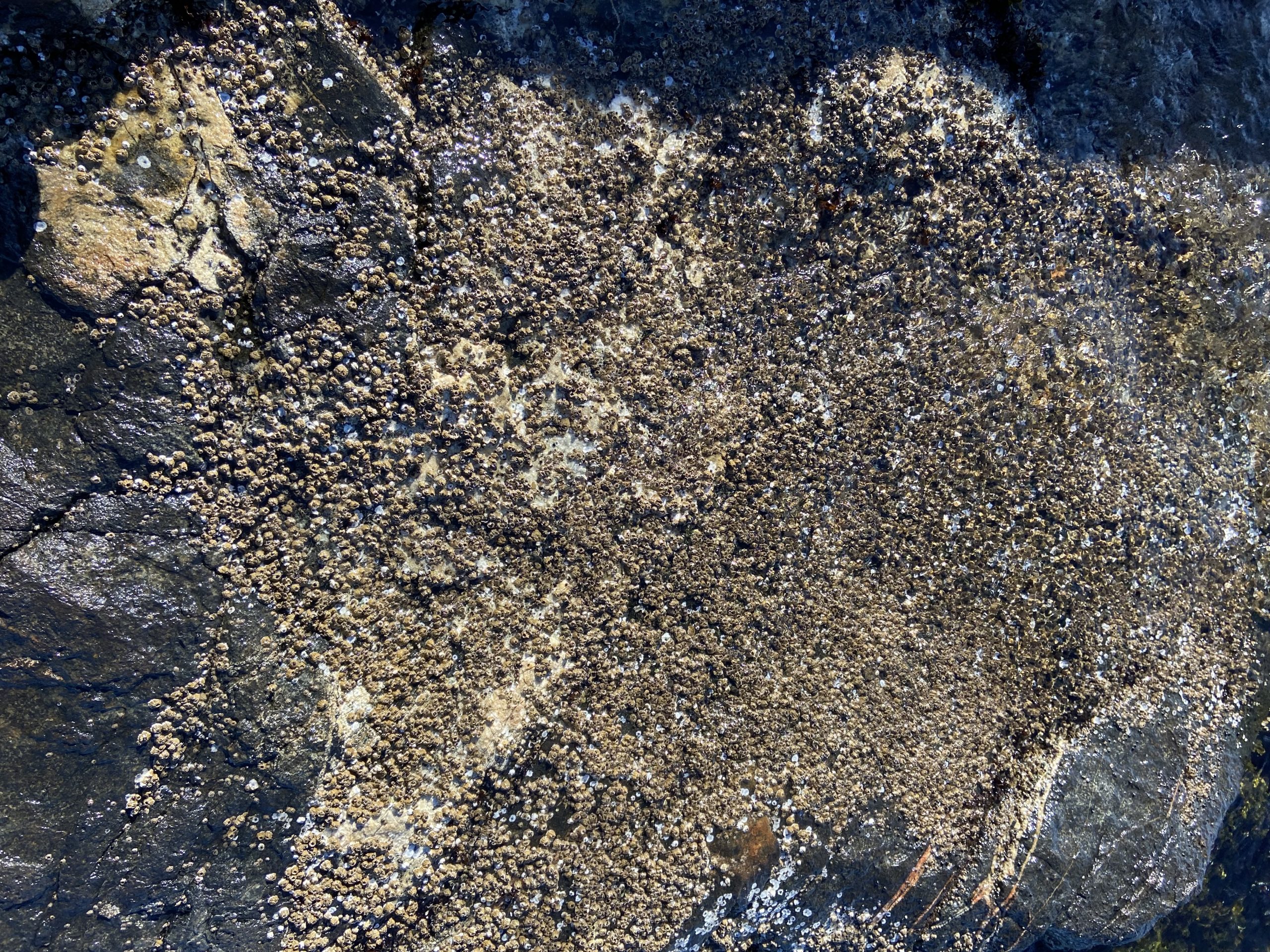
This summer with the heat dome experience on Vancouver Island there have been reports of damage to intertidal life. I took these images of high intertidal level barnacles in the arintertidal between peg 14 and 15. which show very little damage from this event,

We checked out Anita’s pool #6 . The intertidal life in the area has been unchanged for decades.

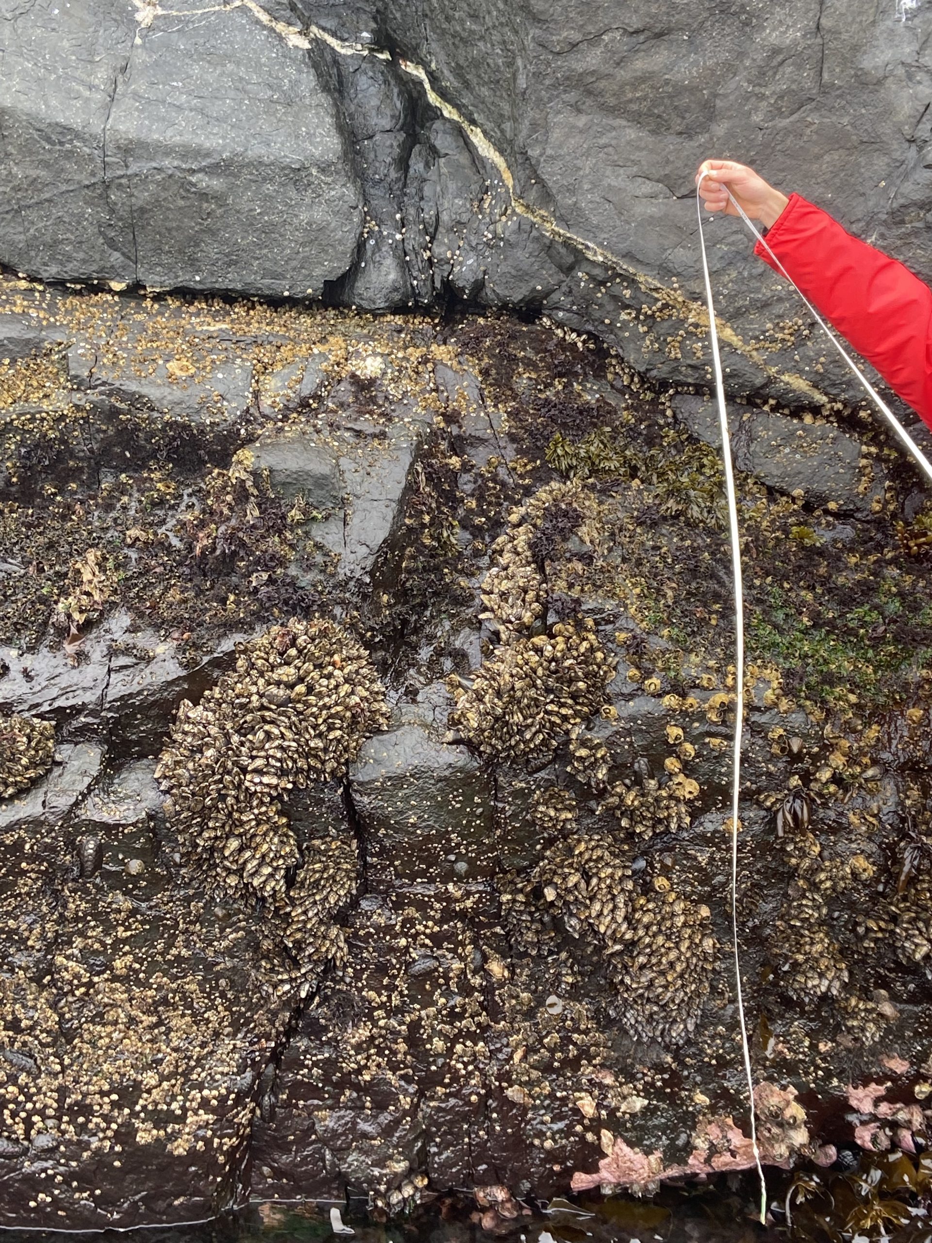
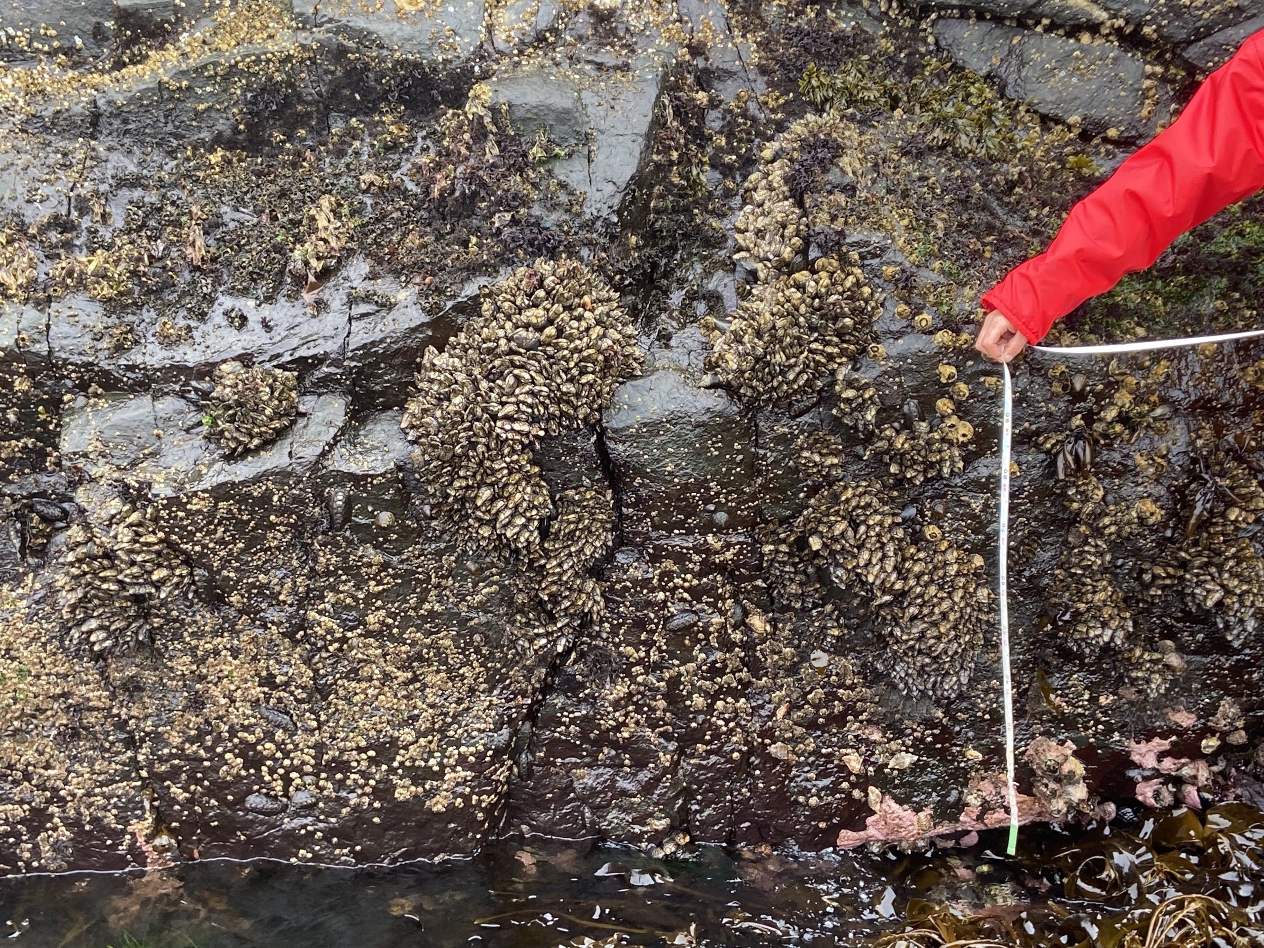
On the west side of the cliff near peg 5 , we took these images on the vertical rock face as records of barnacle distribution:

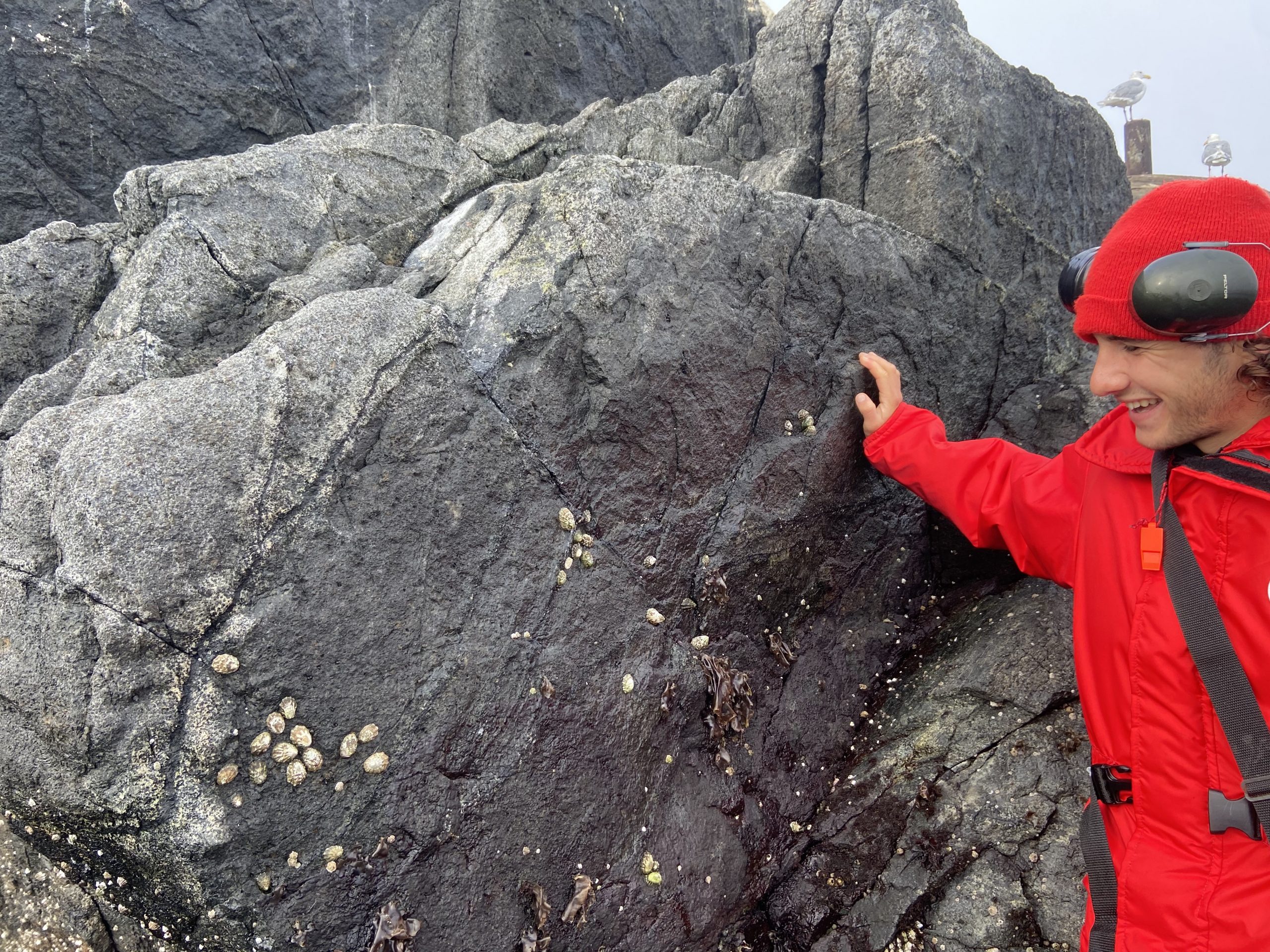
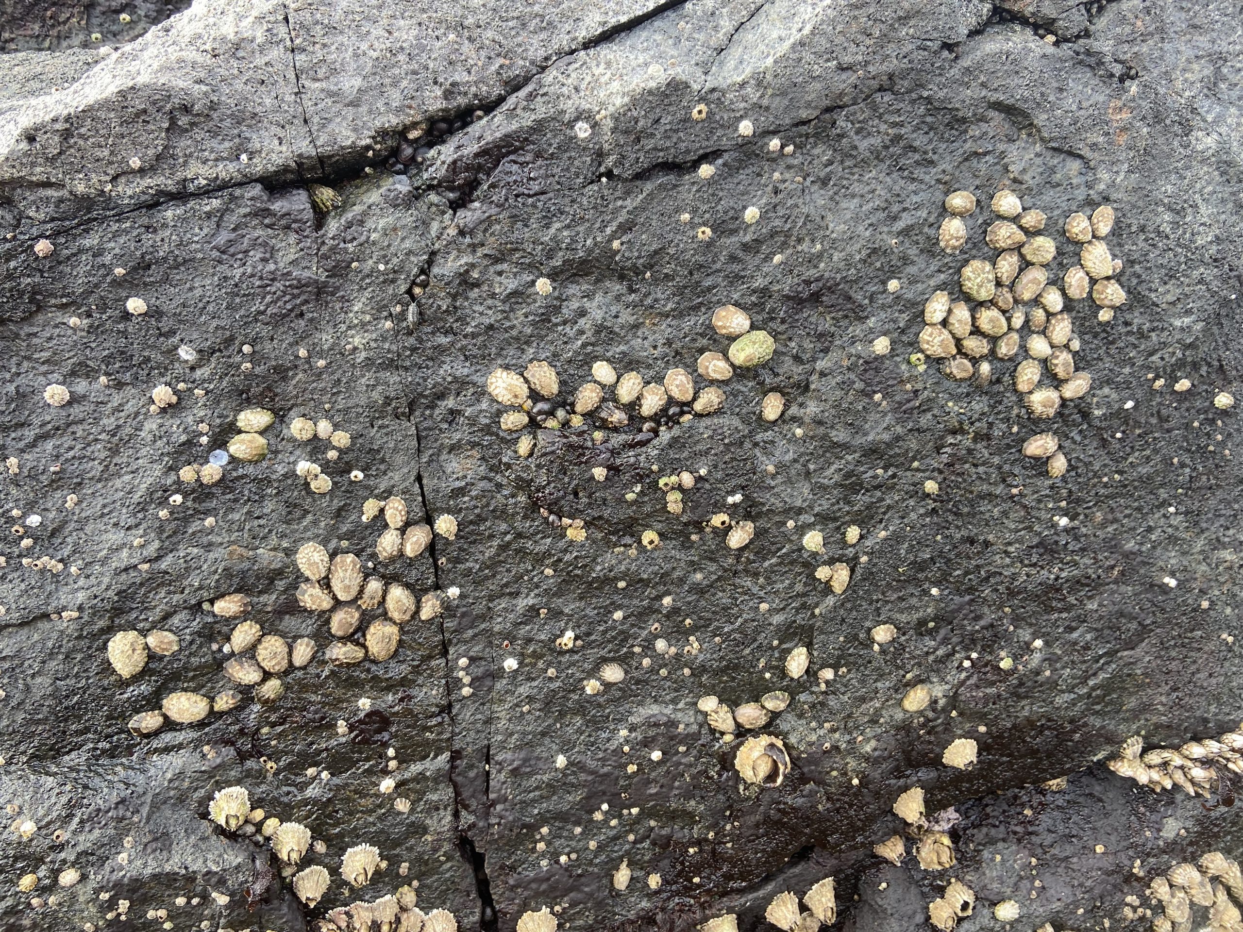
And near peg 15 we noted these finger limpets in a shaded rock at an extreme high intertidal elevation.

And a follow-up photo of The ill-fated tidepool #13 which was readjusted in the hurricane of 2006


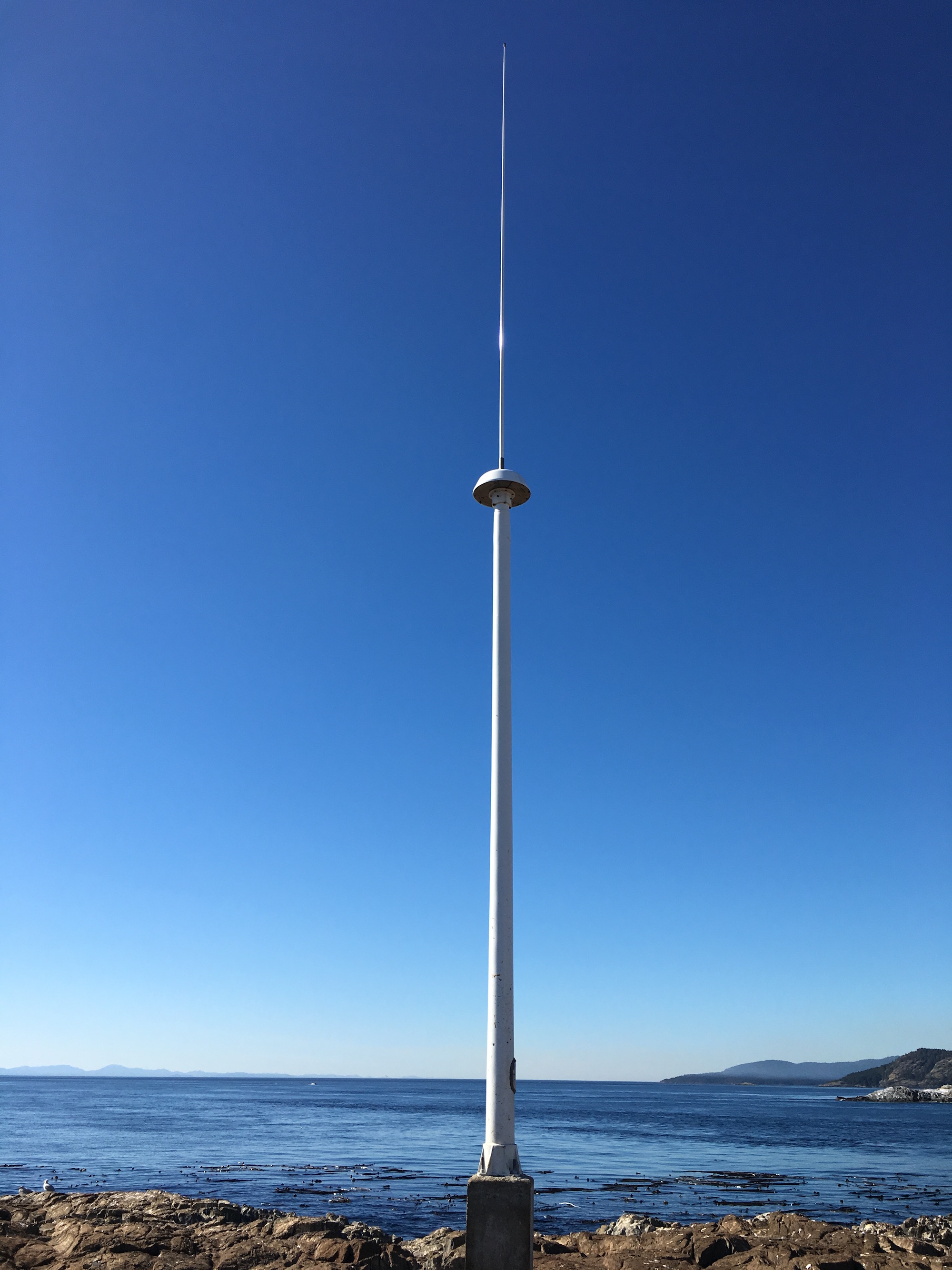
Juan de Fuca CODAR System – Race Rocks (VROC) – Oceanographic Radar System

CODAR antenna at Race Rocks

Click on this image for the data display on the Ocean Networks Canada website:

CODAR SeaSonde continuous surface current mapping and wave monitoring HF radar system.

This is taken from this page: http://vocab.nerc.ac.uk/collection/L22/current/TOOL1366/

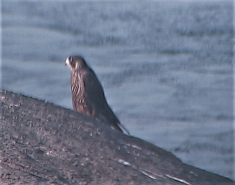
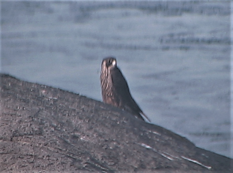
Peregrine Falcon returns

Pam Birley from England took this image on the remote camera 5 today.  Almost yearly, she has spotted peregrines on Great Race Rocks using the remote control cameras . 

Falco peregrinus: Peregrine falcon –The Race Rocks Taxonomy