Elephant Seal Frustrations

Tuesday September 24, 2024

This morning we woke up to fog lapping at the shores of the island. Its honestly very magical to be fully socked in on a rock that you know is completely surrounded by water. But also, this really throws the problem of a malfunctioning foghorn into sharp relief.

We were obviously not alone in this thought, as we read an 8am email from the Coast Guard team who will be out here tomorrow to take another stab at repairing it.

We spent the morning cleaning the solar panels, making the daily fence repairs, and doing some general tidying for the week.

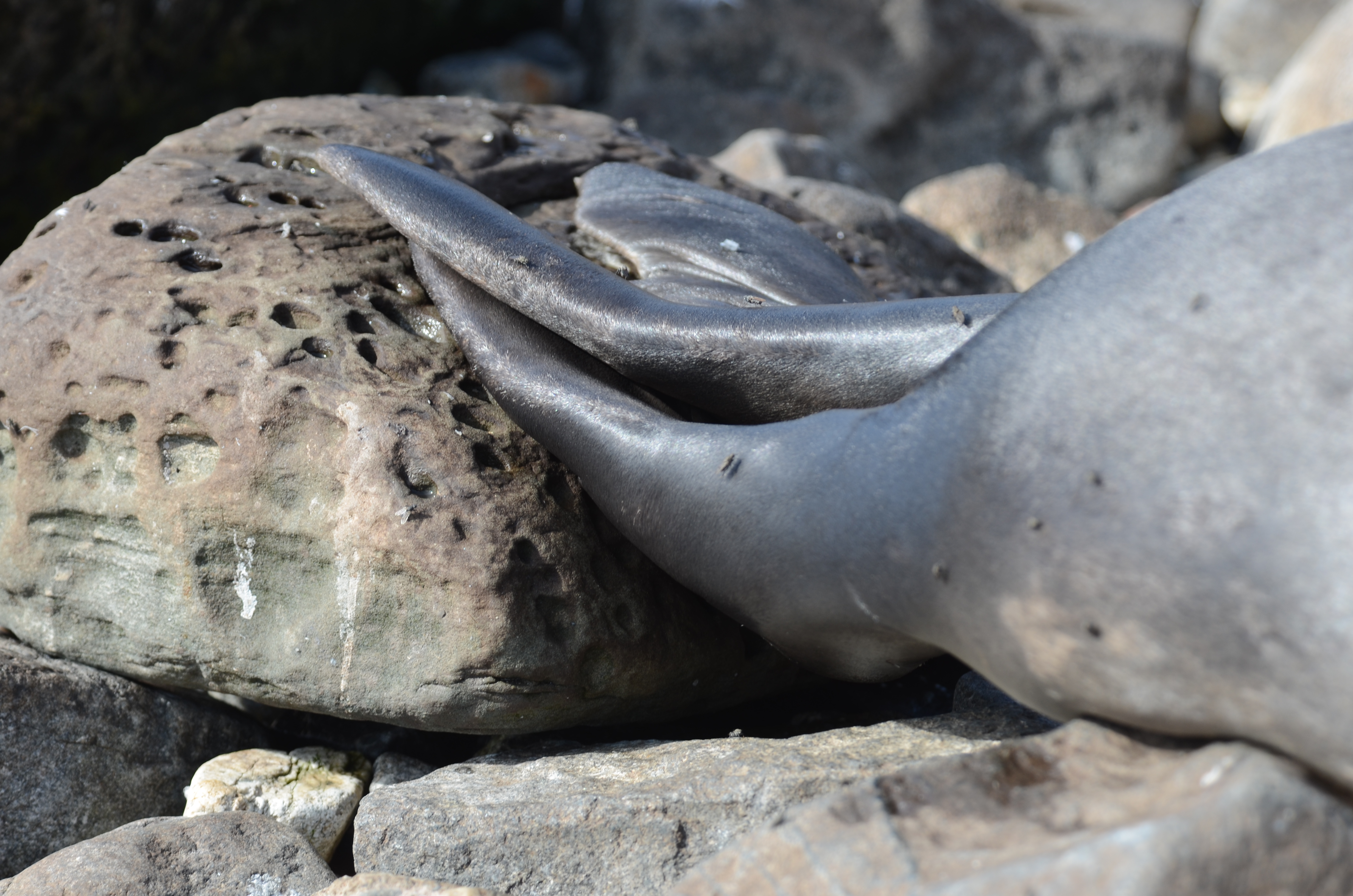
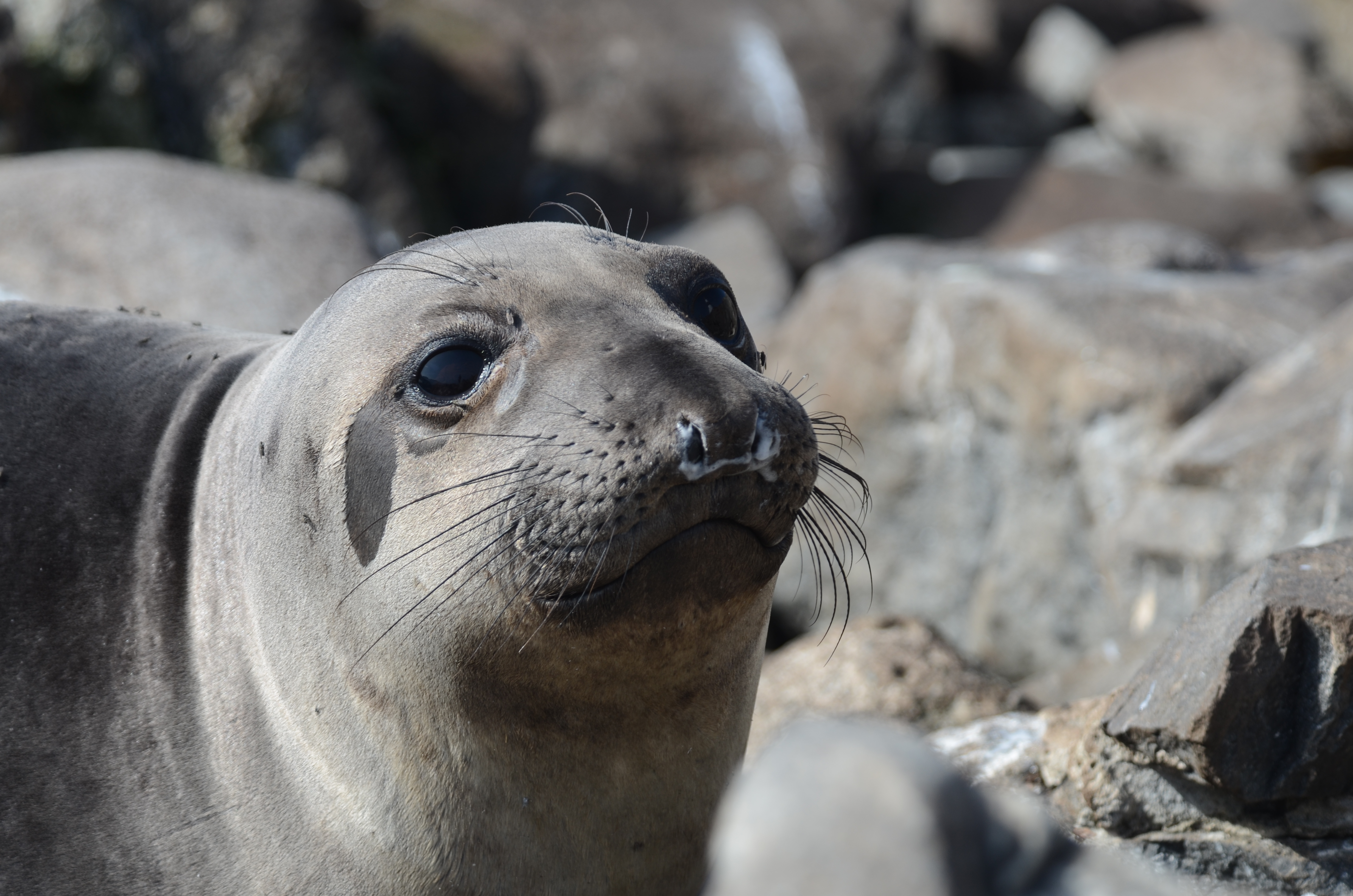
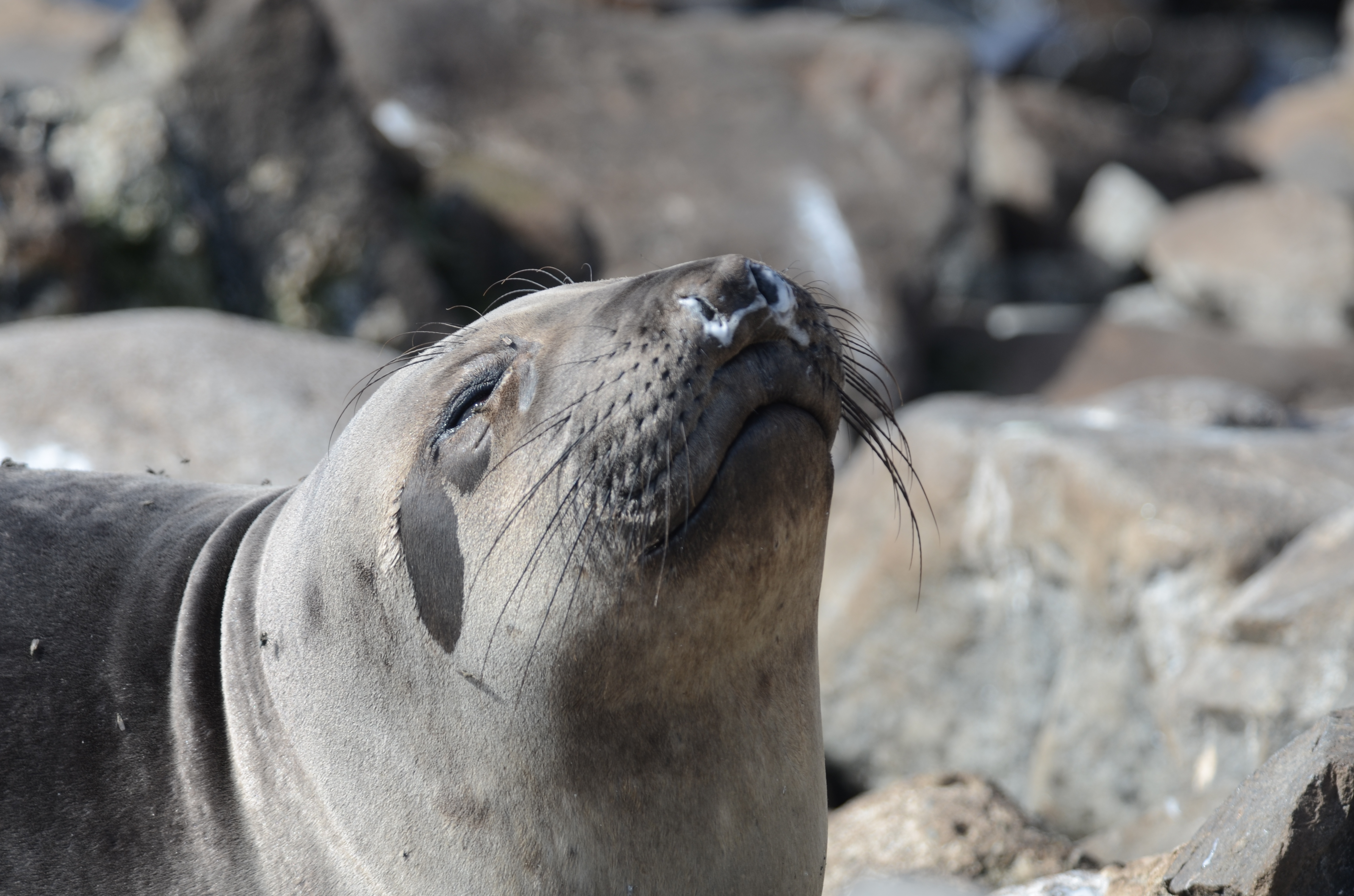
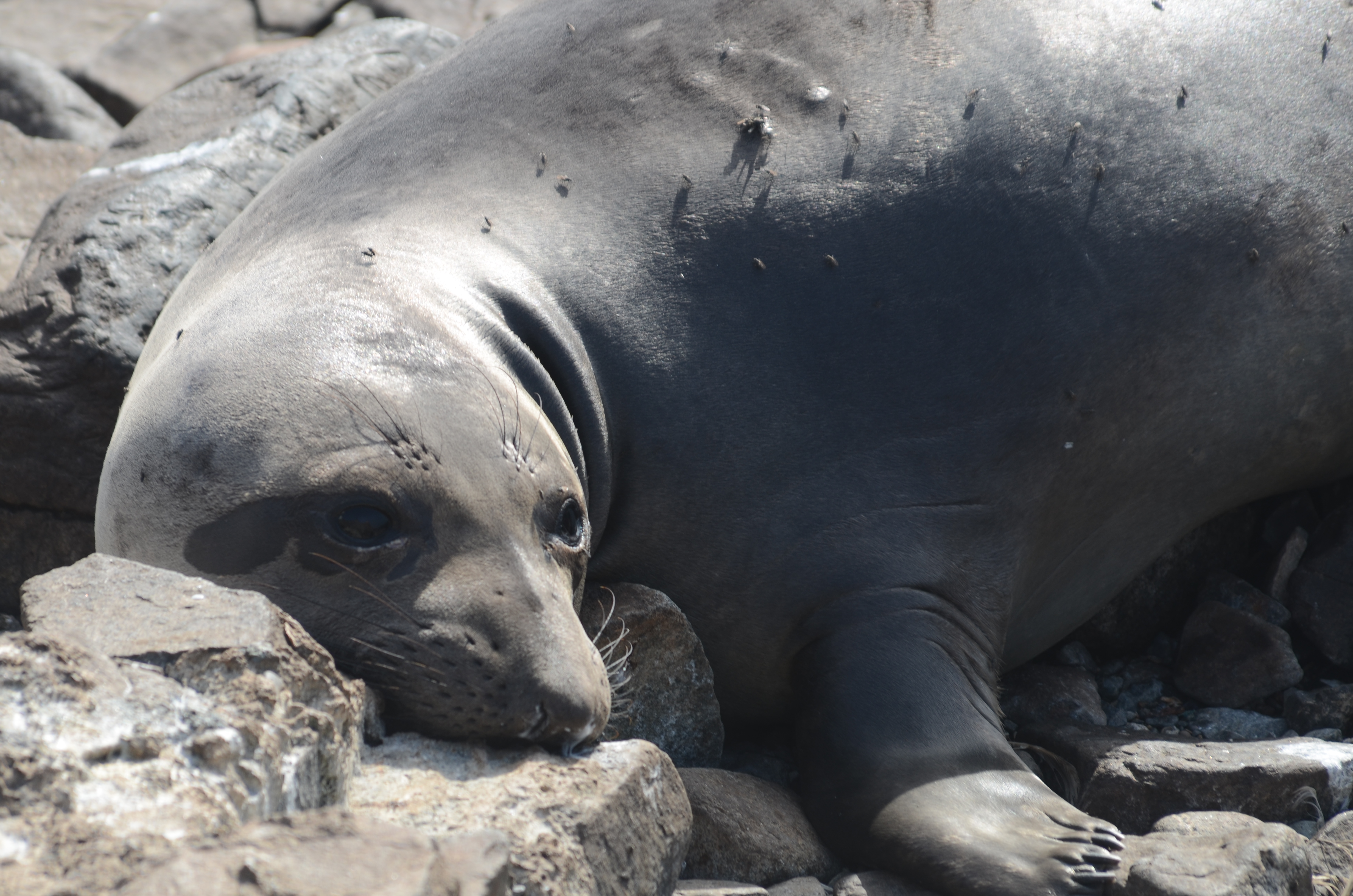
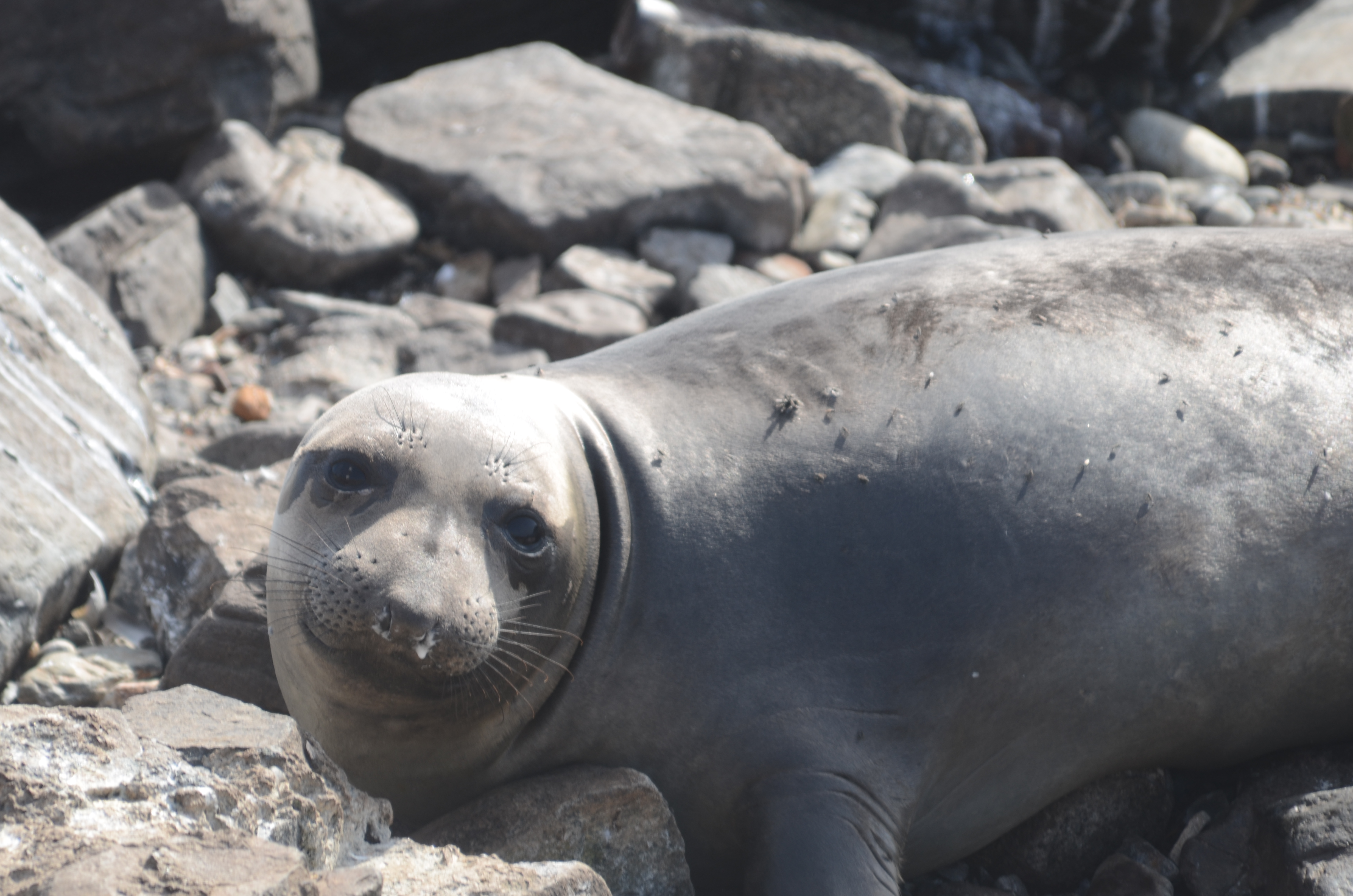
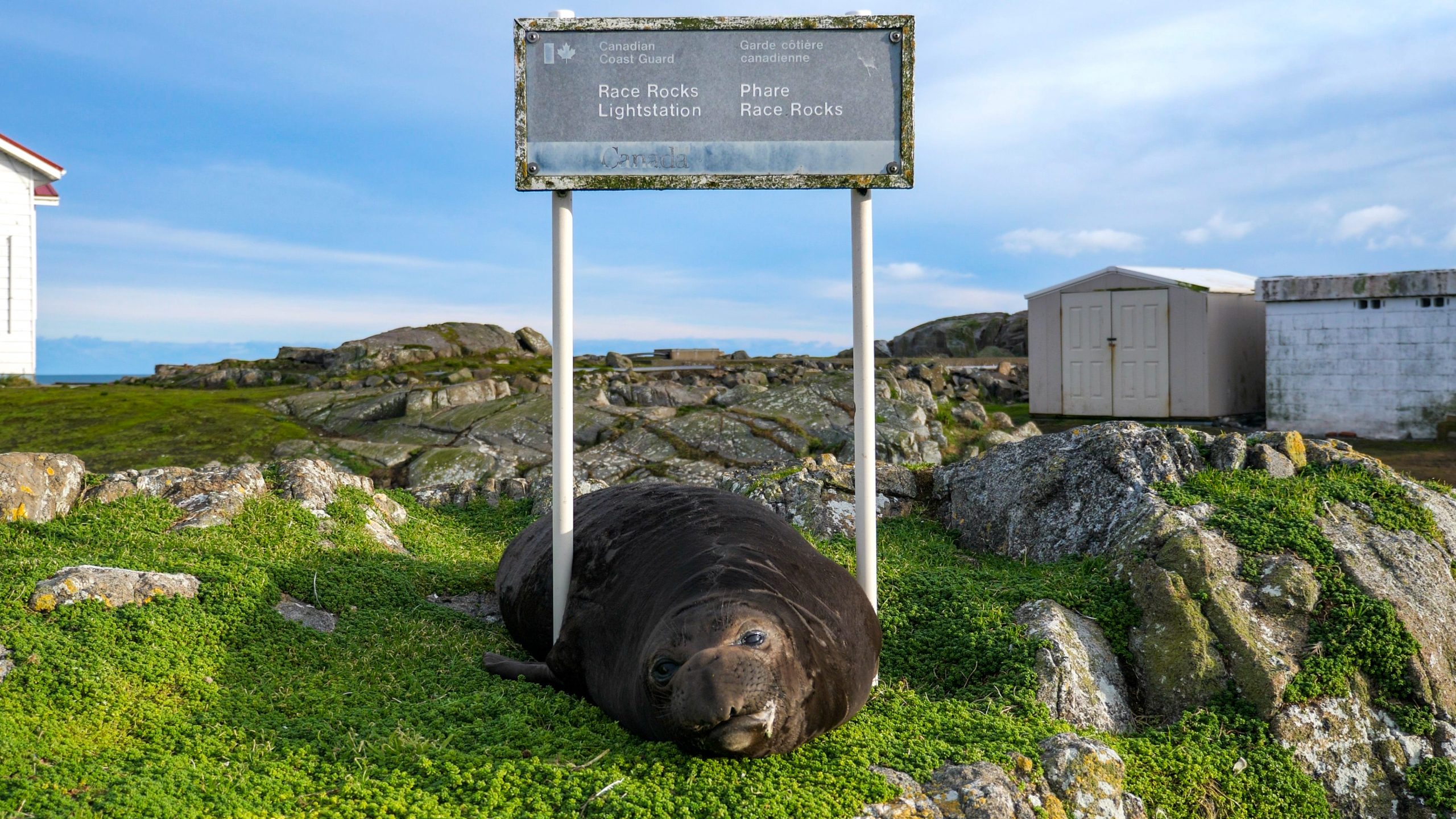
We also tried to capture some more identification photos of the Elephant Seal who has been around. Last week we reported her with my best guess of her tag number based off a couple glimpses from when her tail was at just the right angle.

The group we reported her to responded right away with a bunch of interesting information about her life. She was born in Ano Nuevo California in 2013. She has been spotted there many, many times since then, during the winter months, and has even had two babies of her own!

But they have no sightings of her in other locations up until now! So that is super exciting!

From a Race Rocks perspective, she also seems to be a Newcomer. Elephant seals have full reign of the island, and the guys who visit here often know that, and take advantage of it….. as recorded in many previous blogs,

This gal, however, is hanging down on the rocks on the South side of the island amongst all of her Sea Lion relatives.

In addition, speaking with some of the previous Eco-Guardians, there is usually another seal (Beverly) who is the first to arrive. She has a pink tag.. so we know this is not her. Maybe there is new newcomer on the block….?

The previous eco-guardians also shared this neat image, that shows the tag color correspondence with animal birthplace!

What a cool and simple way to track such amazing animals!

Anyways, I will continue on trying to get a clear tag picture.

Whale Watching Vessels: 10

Private Vessels: 0

Weather: Foggy and Overcast Day, Winds SW picking up to 15 knts in the Evening

Race Rocks Ecological Reserve #97 warden’s report April 2024

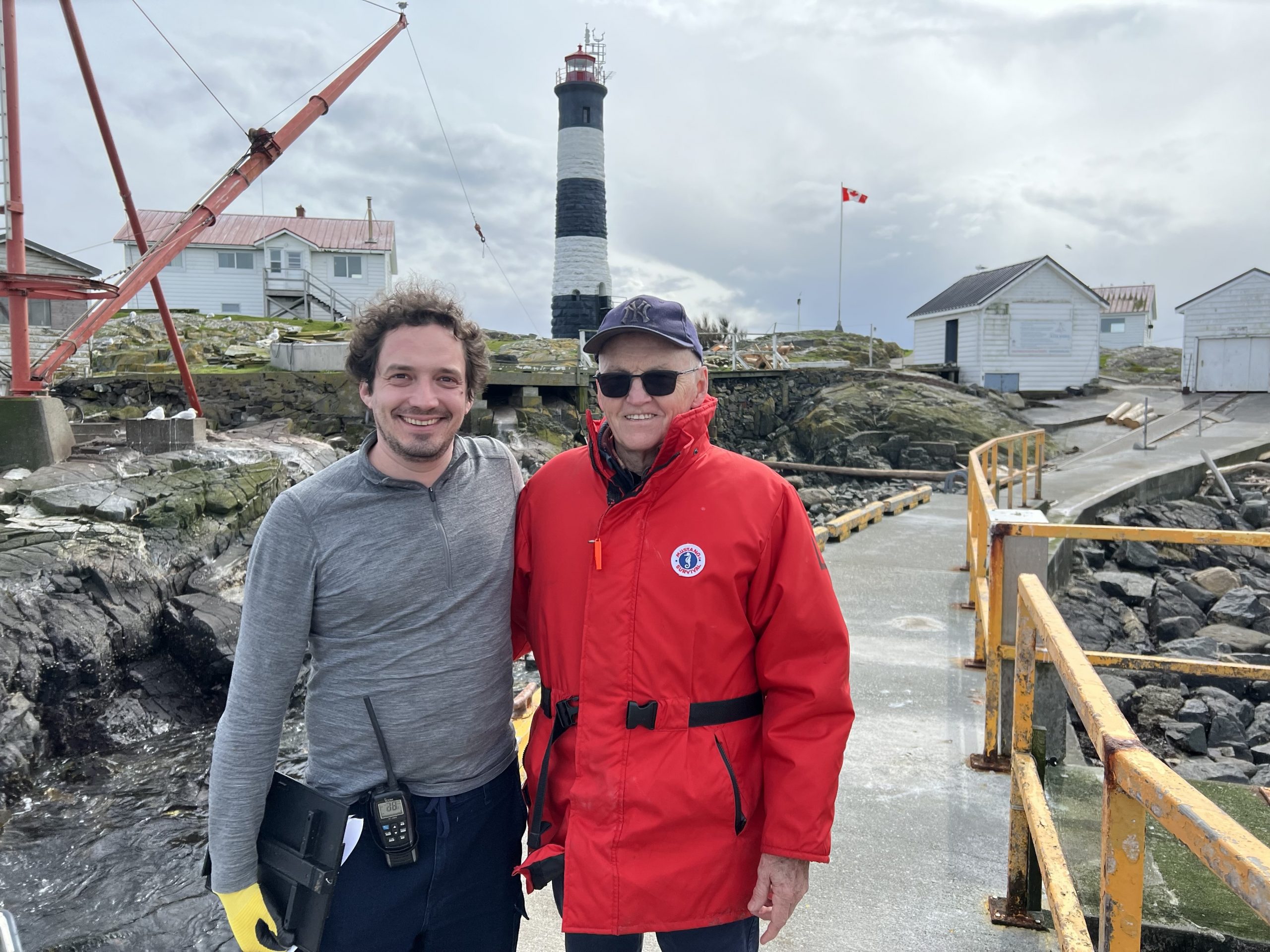
For the past few weeks a former biology student whom I taught at Pearson College, Jerremy Prassl has been serving as the Ecoguardian at Race Rocks. He would be leaving on April 5 and returning to Britain where he is a professor at Oxford.

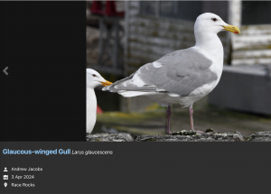
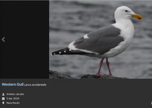
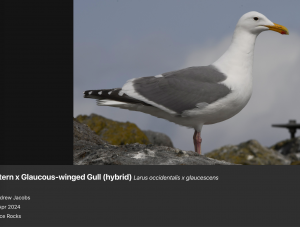
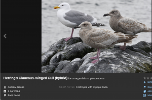
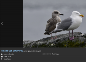
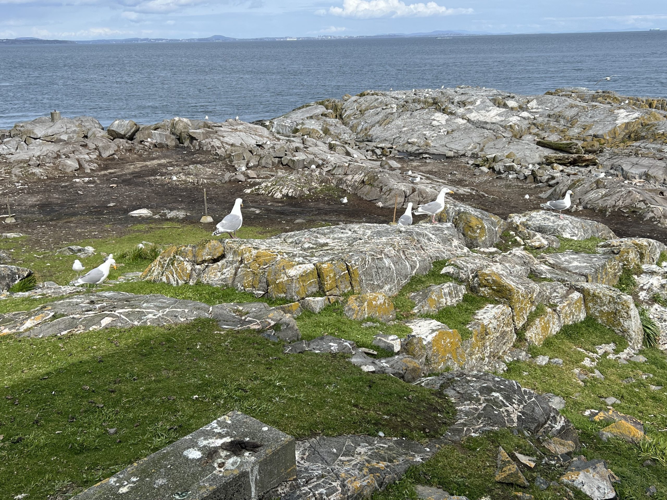
I got a ride out on Second Nature with Greg and we also took out two bird observers from the Rocky Point Bird Observatory ( RPBO) / BC Nature Gull survey, Andrew Jacobs and James Kennerley. The detailed observations and a link to the identification of the interspecific gull hybrids eBird Canada Checklist – 3 Apr 2024 – Race Rocks – 16 species (+2 other taxa) was a valuable addition to research in the Ecological Reserve. Below is a sample from Andrew’s photos on eBird of their identification of the different gulls:


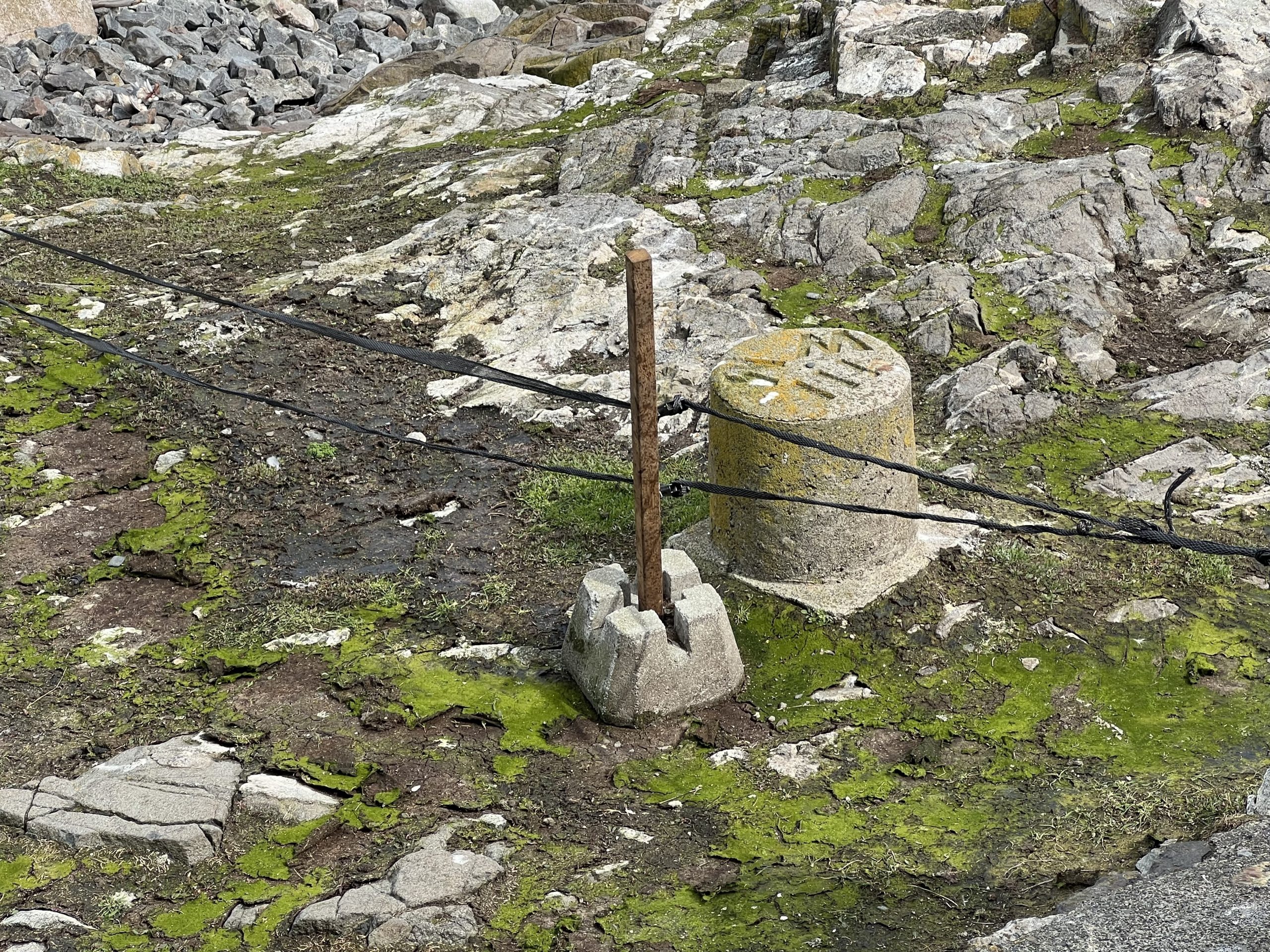
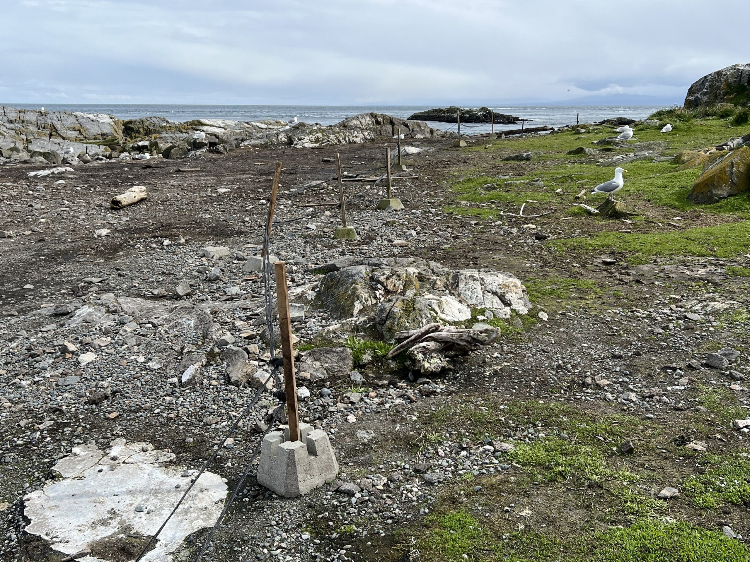
One project that needs to be done is a more permanent placement of stakes to hold the electric fencing which keeps the sea lions from damaging the vegetation and infrastructure on the island.

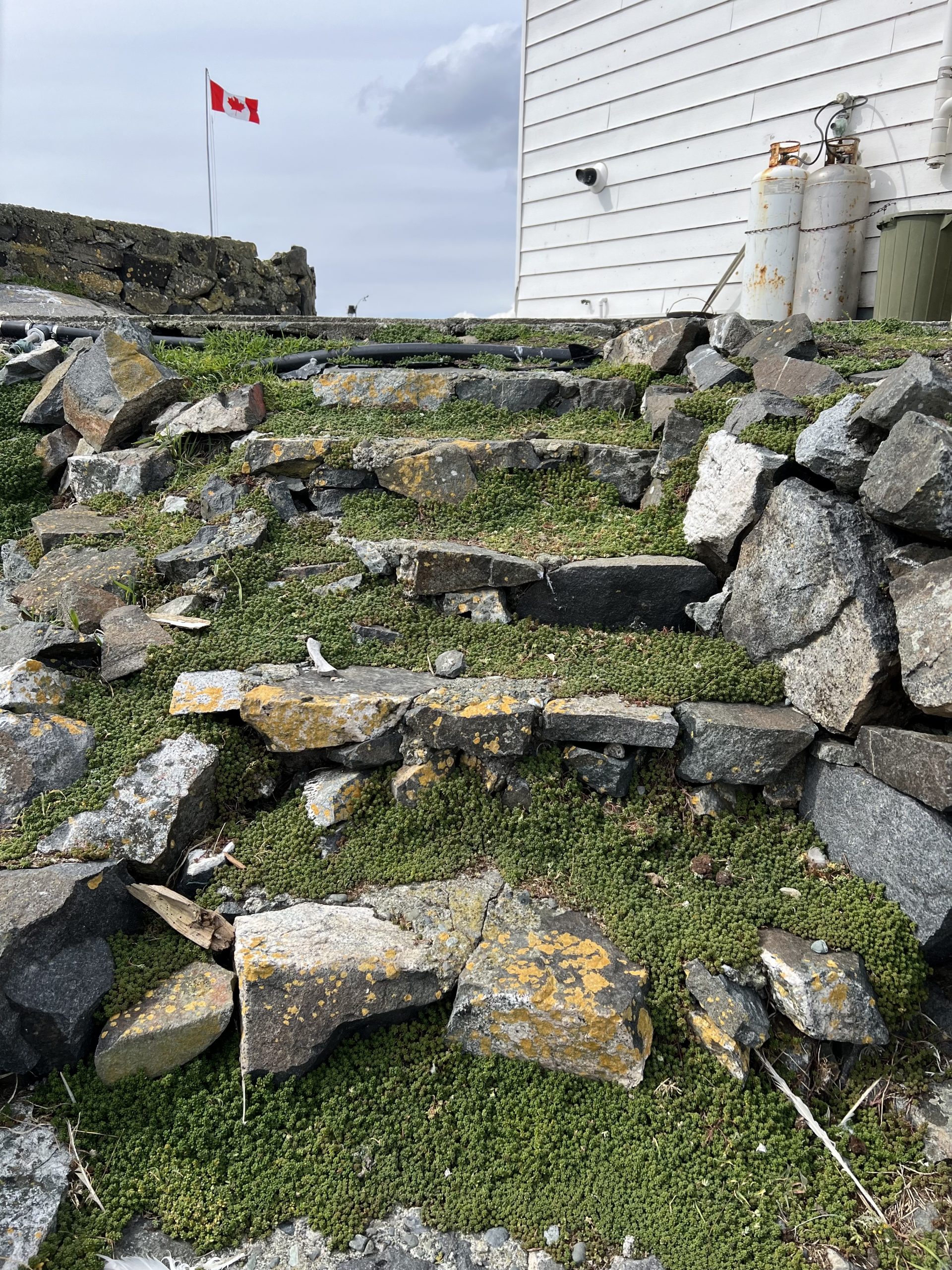
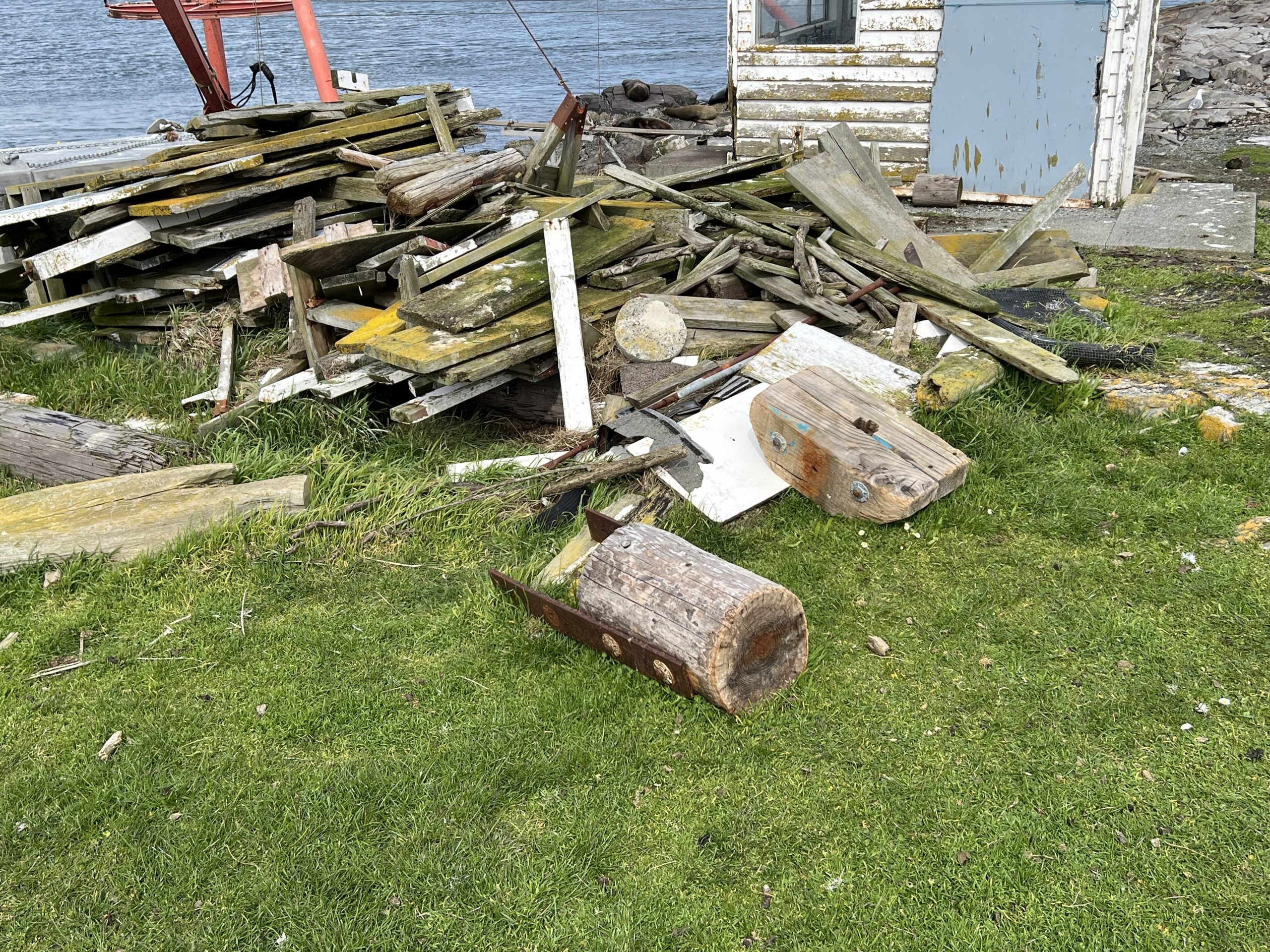
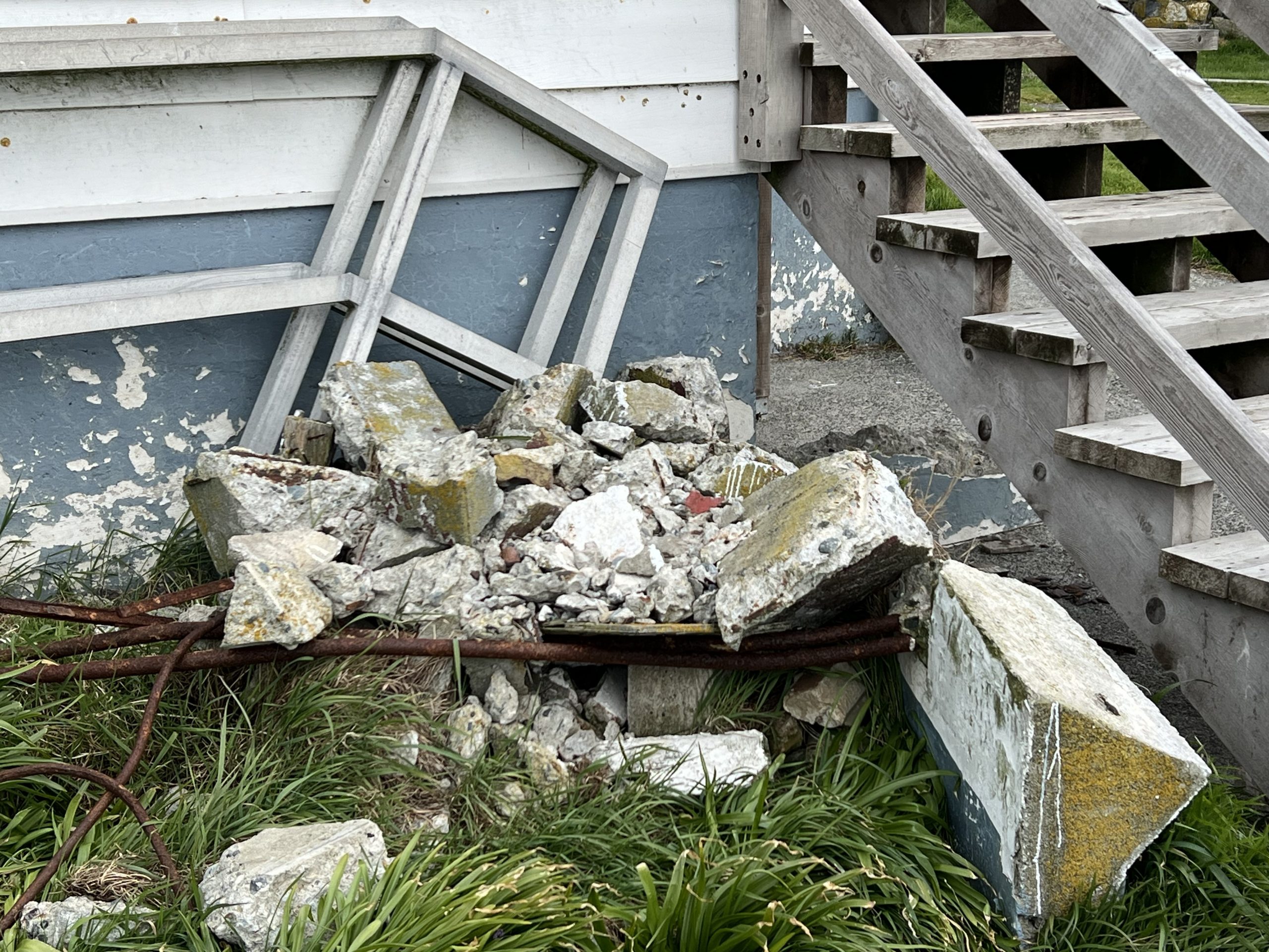
In my walk around the island I noted several areas that need attention, BC parks indicated several years ago that they would be out to remove several piles of construction waste. I think this has gone on too long and these piles are very unsightly and an intrusion into the ecosystem. Perhaps a reminder will elicit some action.


In what Ecoregion / Ecosection is Race Rocks Ecological Reserve ?

January 31 2024 is the deadline for public submission of comments on The Draft Framework on Bodiversity and Ecosystem Health

For an understanding of the differences in the many ecosystems in British Columbia and an appreciation of where Race Rocks Ecological Reserve fits in the classification, I have found this good description of Ecoregions and Ecosystems which includes a reference to Race Rocks, and the small percentage of the Ecosection in which it lies that is protected. 

The Evergreen Alliance has produced an important document detailing the current state of protected areas in British Columbia. In the BC Government’s new emphasis on the value of preserving Biodiversity and Ecosystem Integrity, it is interesting to note what percent of various ecoregions of British Columbia are in need of protection to meet the 30X30 goal . 
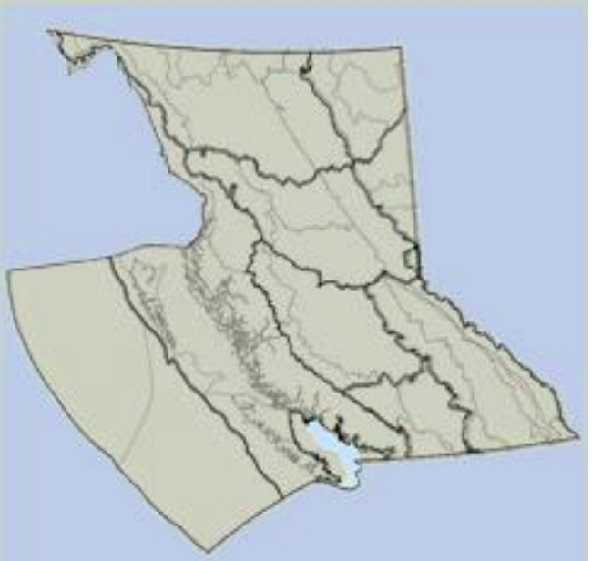
GPB Ecoregion

The Georgia Puget-basin Ecoregion

From:  An Introduction to the Ecoregions of British Columbia

In the OVERVIEW, There is a good definition of Ecosections:

“The Ecoregion Classification System was first adopted by the Ministry of Environment in 1985 to serve as a framework for recognizing small scale ecosystems in British Columbia. The Ecoregion Classification helps us to understand and to depict the great habitat diversity of the province. Since 1985, the Ecoregion Classification has been revised five times to reflect more detailed mapping. The fourth revision Ecoregion units was mapped at 1:250,000 using Landsat, topographic, Biogeoclimatic and marine ecosystem information, while the fifth revision has been mapped based on the earlier concepts plus detailed vegetation zonation mapping. The most current digital (GIS) database is Version 2.1 2006, but the supporting reports and descriptions is the third edition 2011. The Ecoregion Classification system is used to stratify British Columbia’s terrestrial and marine ecosystem complexity into discrete geographical units at five levels. The two highest levels, Ecodomains and Ecodivisions, are very broad and place British Columbia globally. The three lowest levels, Ecoprovinces, Ecoregions and Ecosections are progressively more detailed and narrow in scope and relate segments of the Province to one another. They describe areas of similar climate, physiography, oceanography, hydrology, vegetation and wildlife potential. Within each terrestrial ecoregion, climatic zones occur where specific soils, plant and animal communities and aquatic systems develop because of the interaction of climate with the land surface and surficial materials. These zones are best defined within the Biogeoclimatic Ecosystem Classification system. Ecological zones in marine ecosystems are products of temperature, salinity, sea-bed configuration and water depth. The Marine Ecoregion Classification system should be used to define the marine ecosystems. Each ecosystem is ultimately identified by sampling individual sites. At the lowest level in an ecosystem classification, attention is directed to specific parameters, such as topography, surficial materials, soil development, moisture regime, microclimate, floristics, succession, productivity and animal use. Ecoregions should be thought of as ‘big picture’ ecosystems. As such the province should be viewed first for its big, all-inclusive landscape chunks, then progressively through more detailed levels, and finally each area of the province has to be viewed with other classifications or the underlying geographical detail. The boundaries between units must be thought of in the same way, broad lines for small scale ecosystems progressing to greater precision for the larger scale ecosystems. For convenience, however, one boundary is used to define all ecosystem levels, from Ecodomain down through to the Biogeoclimatic or marine unit level……….

Ecoprovince Subdivisions
From page 47: The Georgia Depression Ecoprovince in British Columbia is subdivided into four ecoregions containing seven ecosections (One of those is a marine ecoregion and three are marine ecosections)…………

on page 53 there is a description of the GEB – Georgia Basin Marine Ecoregion: In British Columbia this marine ecoregion contains two marine ecosections.

GEB – Georgia Basin Marine Ecoregion: In British Columbia this marine ecoregion contains two marine ecosections. o SOG – Strait of Georgia Marine Ecosection: This is a broad relatively shallow, semienclosed estuarine basin that separates southern Vancouver Island from the mainland. It is mainly marine waters, but it also contains several islands. The islands have very dry mild climates, such as southern Quadra, Cortes, Texada, Lasqueti, Denman and Hornby islands. The southern islands and lower portion of Texada Island area dominated by the dry Coastal Douglas-fir Zone, whereas the northern islands and the upper portion of An Introduction to the Ecoregions of British Columbia 54 Texada Island are dominated by the very dry maritime variant of the Coastal Western Hemlock Zone. The marine environment is dominated by the intertidal, nearshore, epipelagic and mesopelagic zones. 

JOS – Strait of Juan de Fuca Marine Ecosection: This a deep trough marine area with a strong “estuary-like” outflow current. It is the major water exchange conduit between the Georgia – Puget Basin Ecoregion and the open Pacific Ocean. Except for a few islets, such as Race Rocks, most of the ecosection is marine waters. The northern and southern boundaries approximate the outer limit of the nearshore zone; while the eastern boundary in British Columbia is south of Chain Islets & Discovery Island; in Washington it is south of the San Juan Islands and east of Whidbey Island. The southern deep-sea marine portion of Pacific Rim National Park – West Coast Trail Unit occurs in the far northwest portion of this ecosection. ” 

In the Juan de Fuca Strait Ecosection there is .01 %  of the protected areas in BC,  and 5.57 percentage of the area is protected.

Juan de Fuca Strait 0.01 5.57 GPB

Knowledgeable Visitor

My solitude has been broken,
Yesterday Garry Fletcher,a former Pearson College teacher and current ecological reserve  warden, came to the island to spend the night.  He was taking advantage of the last weekday low tide for the next 8 days to get some pictures of the intertidal life.  I sure am glad that he did!

Facility Work:
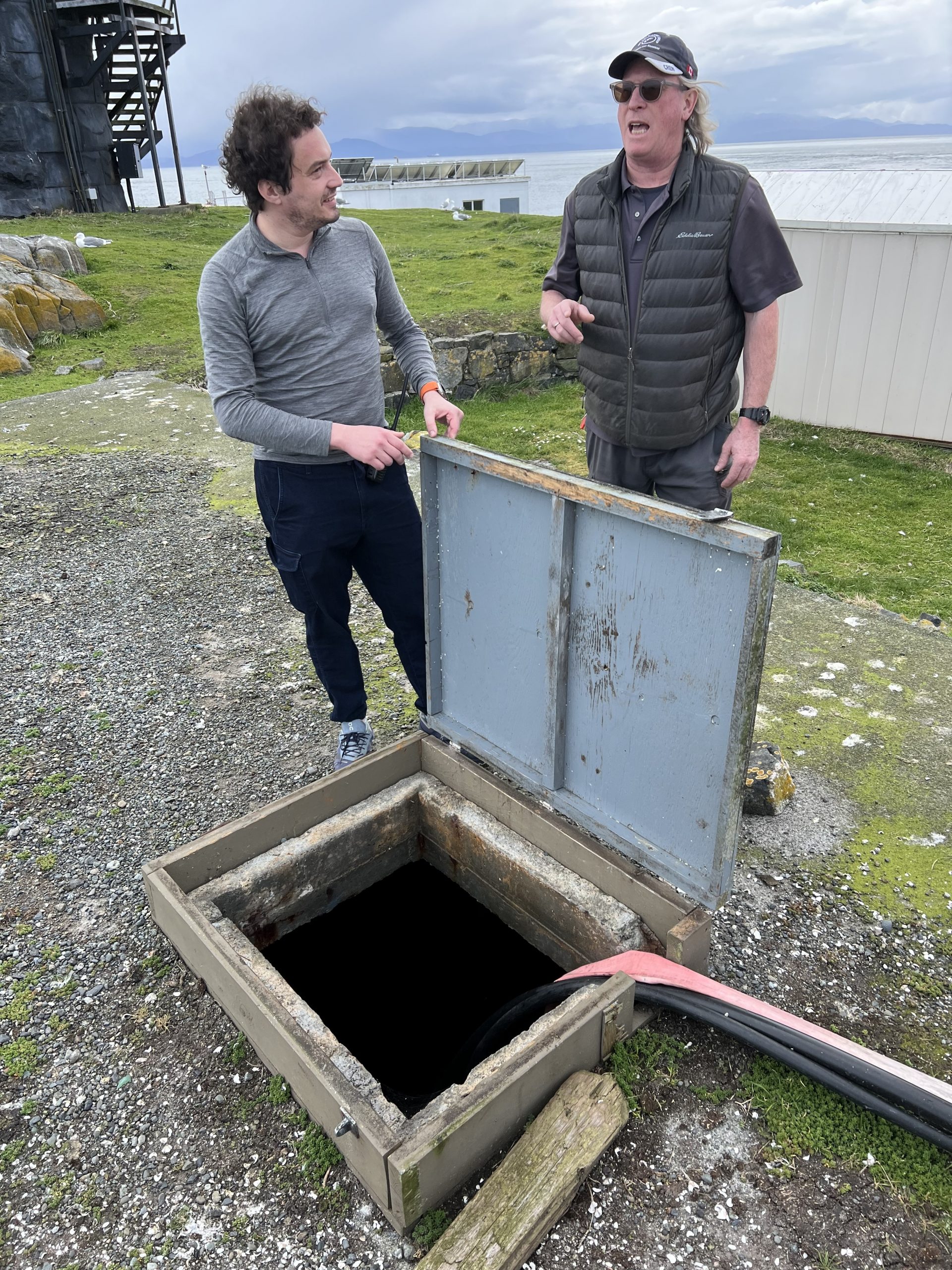
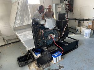
His stay started with an oil change of the diesel generator that is on the island.  This has to be done every 200 hours.

Greg giving me a quick rundown before he has to head back to the college

Cleaning of solar panels (daily)
Cleaning of windows (as needed)
Cleaning interior of secondary residence

The next morning we attacked the reason for his visit first thing in the morning while the tide was still dropping

Here I am paying out the tape  on peg 15 to then take pictures of the intertidal life at low tide.   Garry was collecting this data to compare with baseline photo transects taken many years ago.

Ecological Notes:
Several Orcas were sighted in Race Passage.

Garry also took this video of a sea otter passing us when we were working in the intertidal area.off the North East corner of Great Race Island.

noted Western X Glaucous-winged Gull  hybrid by helicopter pad

 Weather – Current: http://www.victoriaweather.ca/current.php?id=72

Weather – Past: http://www.victoriaweather.ca/station.php?

Environment Canada forecast:

https://weather.gc.ca/marine/region_e.html?mapID=02

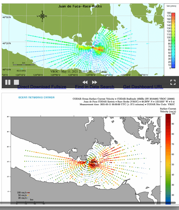
Juan de Fuca CODAR System – Race Rocks (VROC) – Oceanographic Radar System

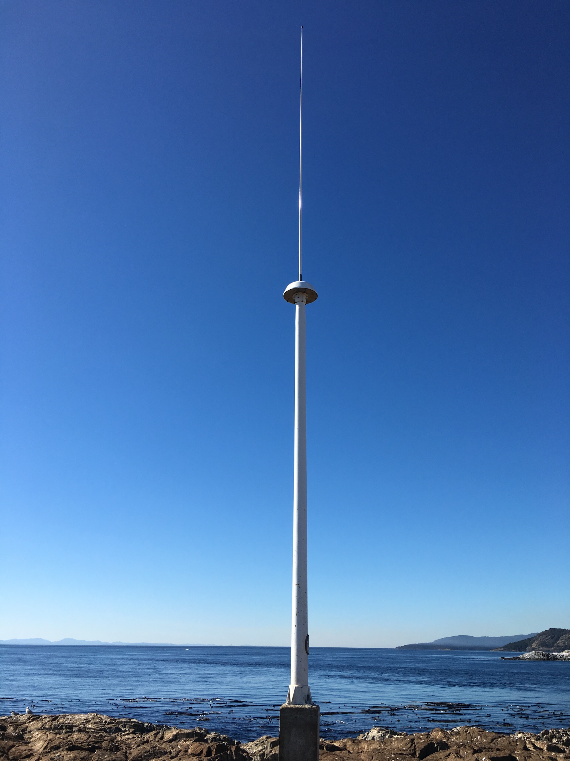
CODAR antenna at Race Rocks

Click on this image for the data display on the Ocean Networks Canada website:

CODAR SeaSonde continuous surface current mapping and wave monitoring HF radar system.

This is taken from this page: http://vocab.nerc.ac.uk/collection/L22/current/TOOL1366/

Why are the Waters around Race Rocks so Nutrient Rich?

The productivity of the waters passing by Race Rocks contributes to the high biodiversity and abundance of organisms in the area.  Part 5 of the following journal article provides a clue for the incidence of high Nitrogen level throughout the Strait of Juan de Fuca.

Free Access

Influences of the Juan de Fuca Eddy on circulation, nutrients, and phytoplankton production in the northern California Current System

First published: 06 August 2008

https://doi.org/10.1029/2007JC004412

Citations: 37

5. Regional Effects of the Juan de Fuca Eddy

5.1. Nutrient Enrichment of the Northern CCS

[44] The Juan de Fuca Eddy has been described as an “upwelling center”, allowing water to be raised from deeper depths than in classical wind‐driven upwelling [Freeland and Denman, 1982]. Upwelling in the eddy enriches the deep waters that flow into Juan de Fuca Strait as part of the estuarine circulation return flow. The penetration into the strait of this nutrient‐rich water mass is evident in a vertical section of ambient nitrate concentration measured in September 2003 (Figure 13). At the mouth of the strait, nitrate concentrations below 100 m (the approximate depth of the division between inflow and outflow) are >34 μM. Similar concentrations are present in bottom water along the strait axis, reaching ∼150 km east of the Strait entrance where strong mixing in shallow regions of high tidal currents mixes them upwards.

image

Vertical section of nitrate concentration measured in an along‐axis Juan de Fuca Strait transect (18 September 2003). Station names are across the top of the section and geographically in the insert figure. Continue reading

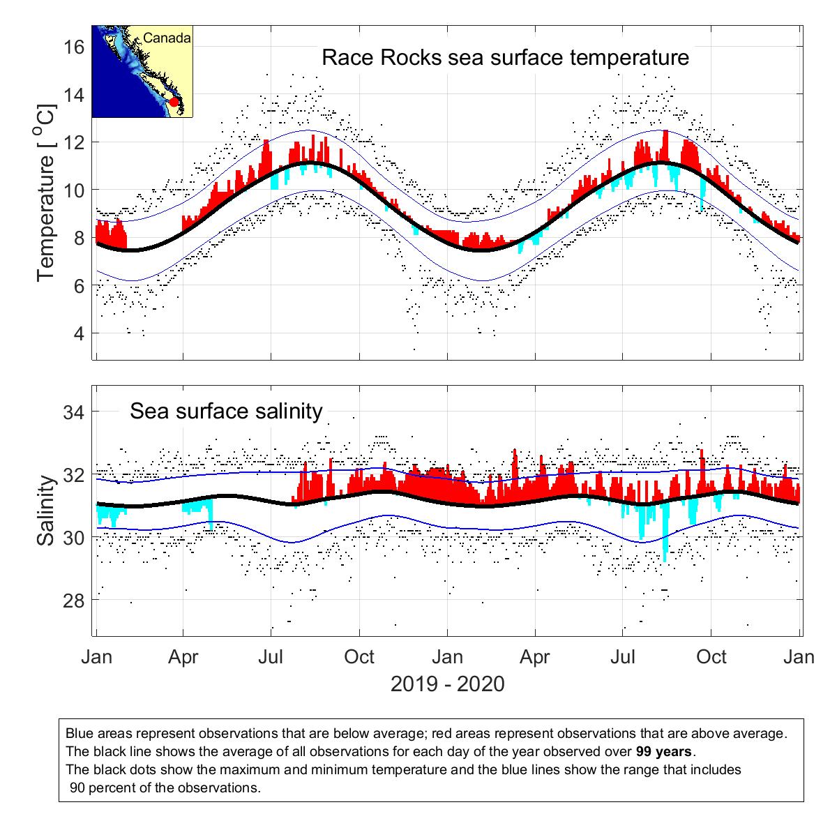
January 2021 Sea Surface Temperature & Salinity

Also available from DFO here, along with data from other sites on the West Coast.

Daily Sea Surface Temperature and Salinity Observations
Station: Race Rocks
Observer: Tristan Blaine
Month: Jan-21
Day Time Temp °C Sal ppt
1 17:00 8.2 31.5
2 14:30 8.2 31.4
3 15:30 8.2 31.5
4 20:30 8.1 31.5
5 12:30 8.1 31.4
6 11:00 8.2 31.3
7 12:00 8.2 31.3
8 10:30 8.4 30.8
9 13:30 8.1 31.2
10 13:30 8.2 31.3
11 13:30 8.2 31.3
12 15:30 8.2 31.3
13 15:30 8.3 31.3
14 15:00 8.2 31.2
15 11:30 8.2 31.3
16 15:30 8.2 31.2
17 14:00 8.3 31.1
18 11:00 8.2 31.2
19 8:30 8.1 31.3
20 8:30 8.1 31.2
21 8:30 8 31
22 8:30 7.7 30.9
23 9:30 7.6 30.7
24 11:00 7.9 30.5
25 14:30 8.1 30.6
26 13:00 7.1 30.8
27 14:30 8 30.9
28 14:30 7.9 31.1
29 15:30 8 31.3
30 15:30 8 31.3
31 11:30 8.1 31.3

New Elephant Seal Pup: #5!

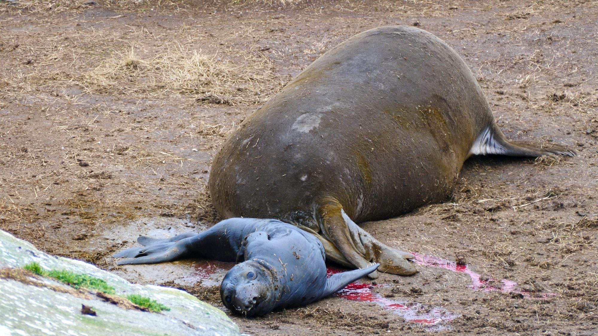
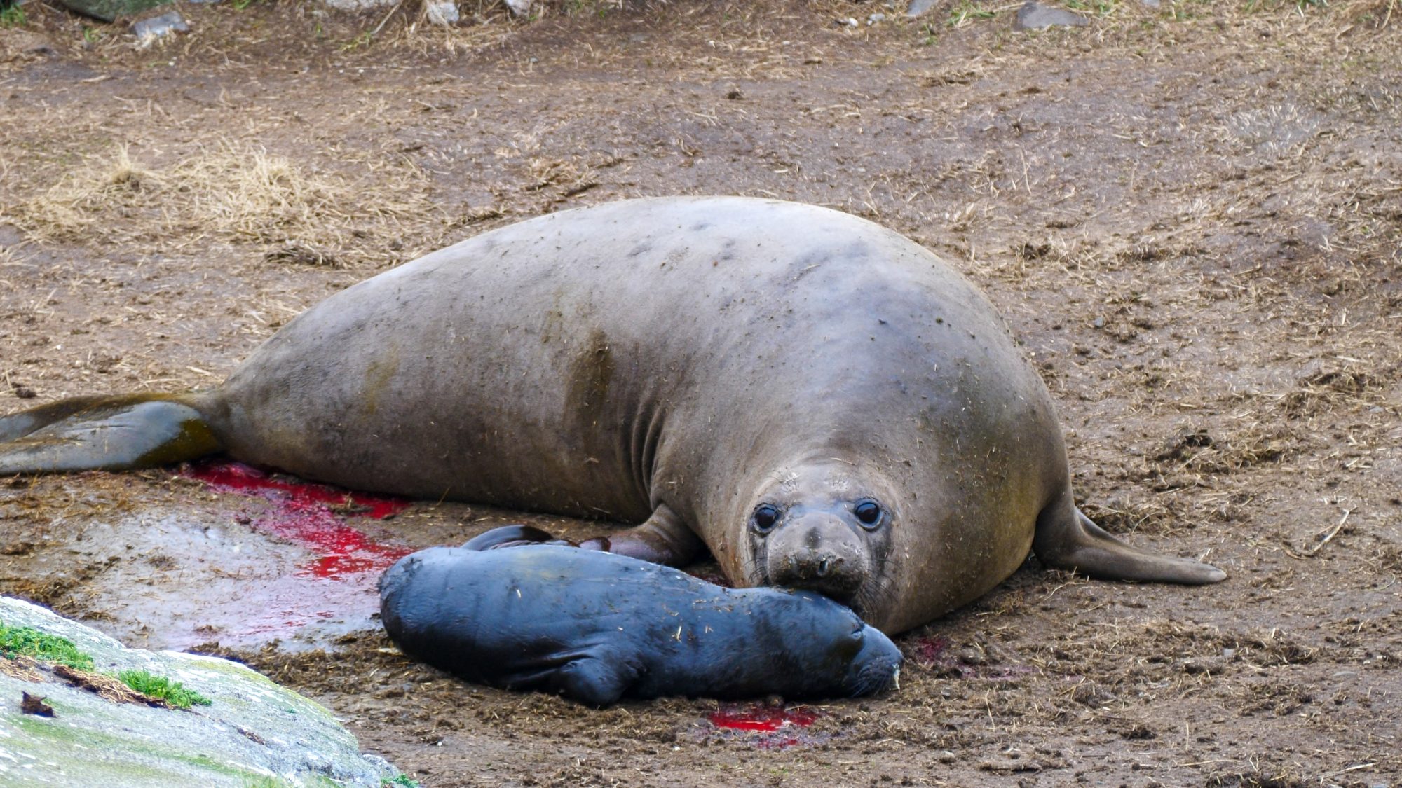
We got a late arrival to the party: Jolene, the fifth female to come ashore for the 2021 birthing season. She showed up on January 21st 2021, and birthed on the 28th around 10am. There is some inital commotion where one of the other moms came over to get a sniff and toss around our new baby Hector (named by the marine science class).

A few seconds after Hector was born.

Jolene getting a good sniff of her new pup.

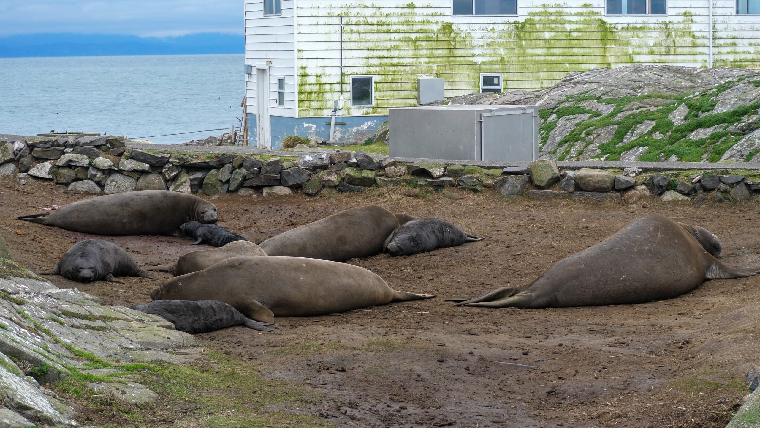
After that initial bit of excitement Hector and Jolene settled in the pod of Elephant Seals. I’m pretty sure this is the new record for births on Race Rocks! Exciting to see the population growing.

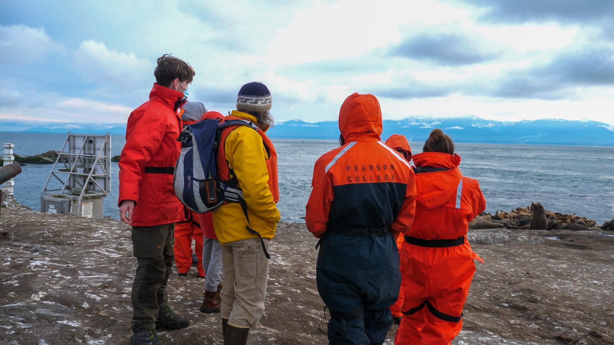
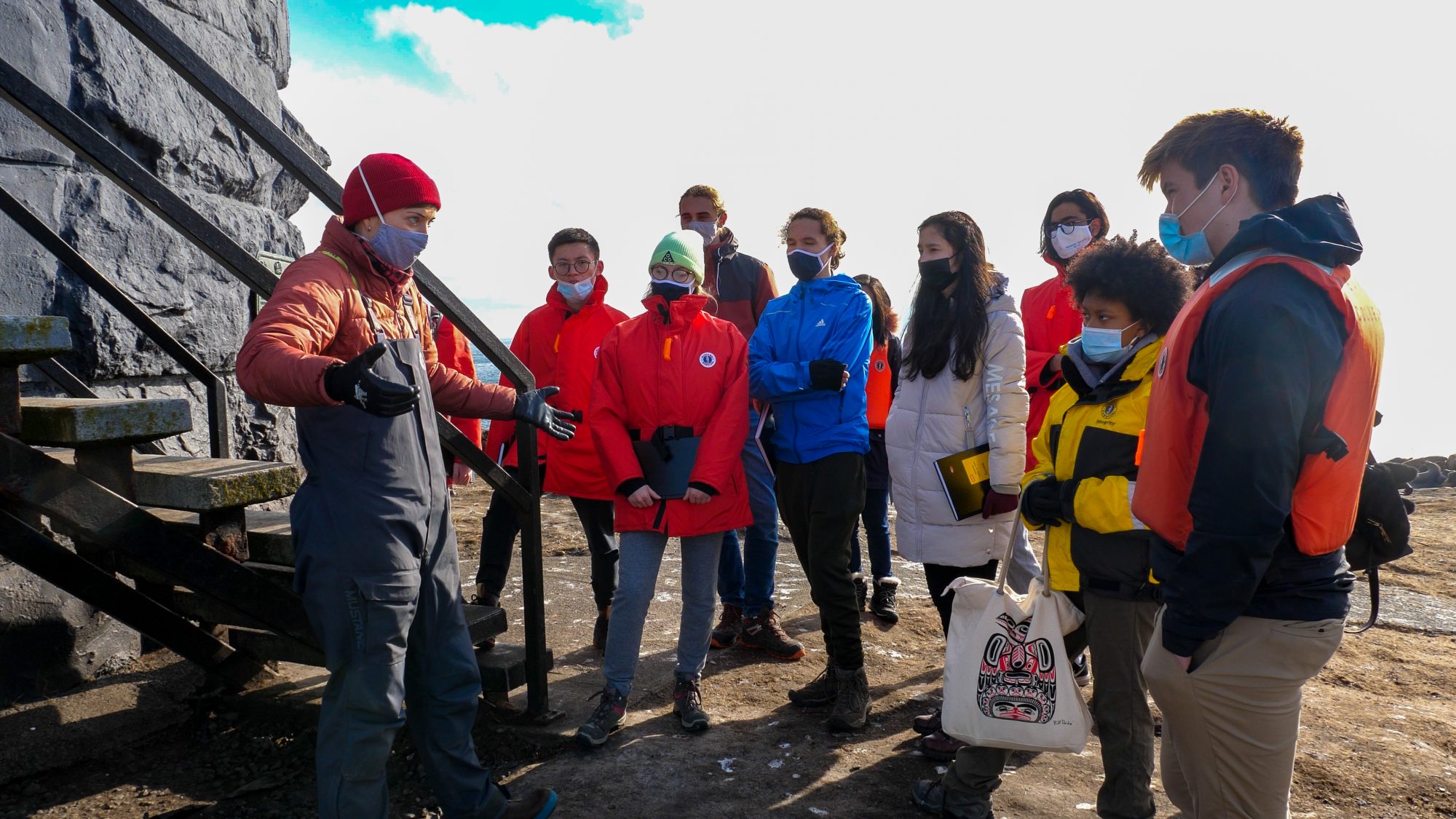
We had the marine science class come visit Race Rocks today! Super fun to get a chance to talk with these super interesting students about Elephant Seals, Race Rocks, and manipulating the stock market.

Laura brought out the marine science class!


Courtney Edwards regaling the marine science class with stories of lighthouse keepers and Race Rocks itself!


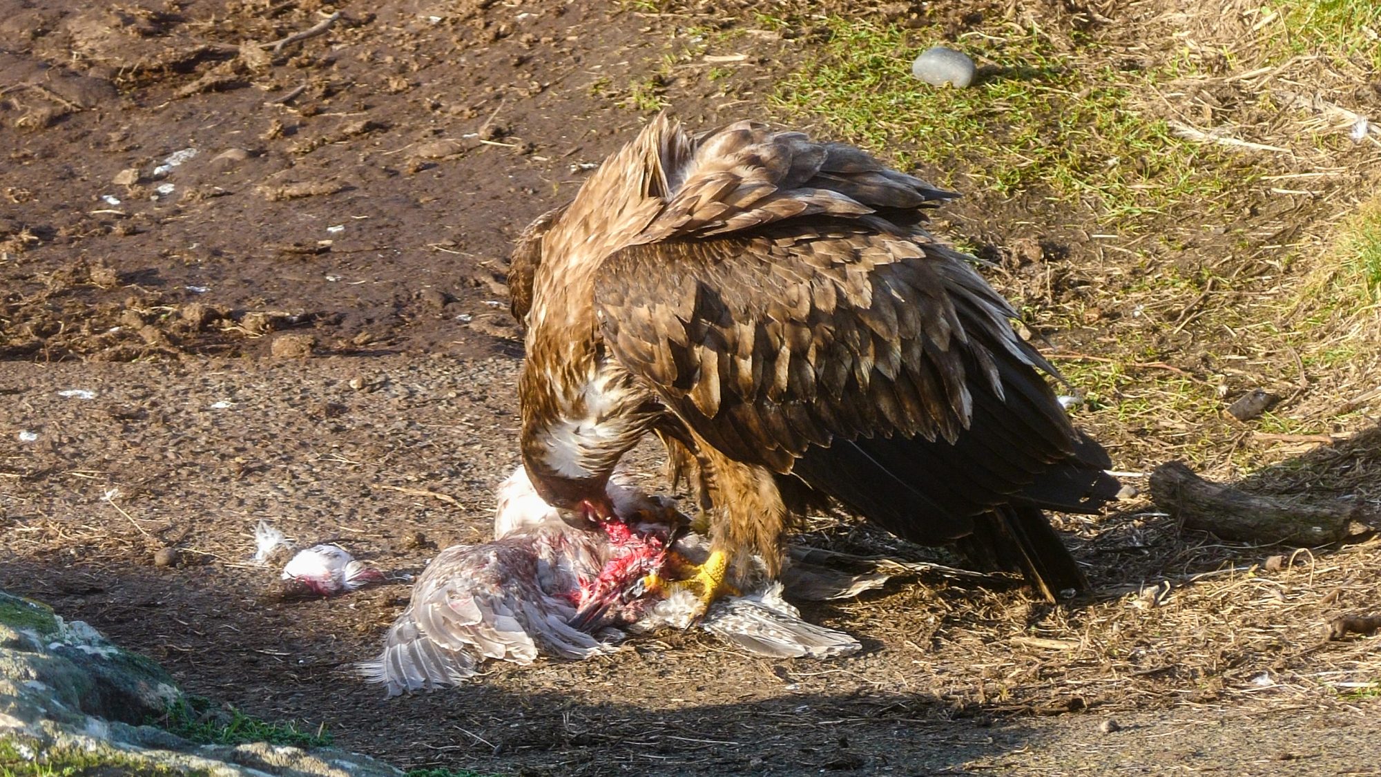
Also: an eagle snagged a gull today. So cool!

Turns out there’s not that much meat on a gull. Lots of feathers though!

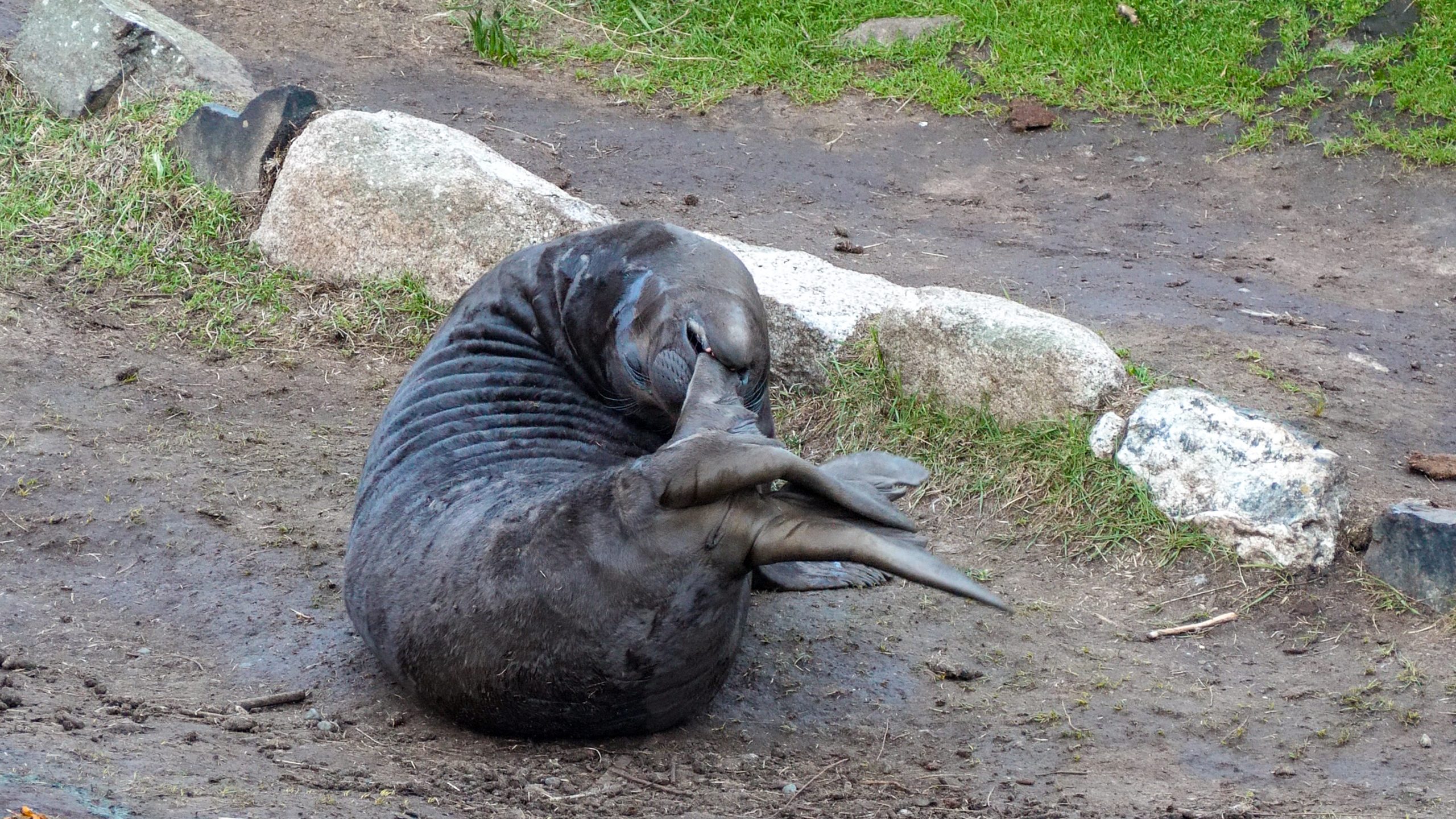
Cheermeister discovered his rear flippers the other day. Hilarity ensued.

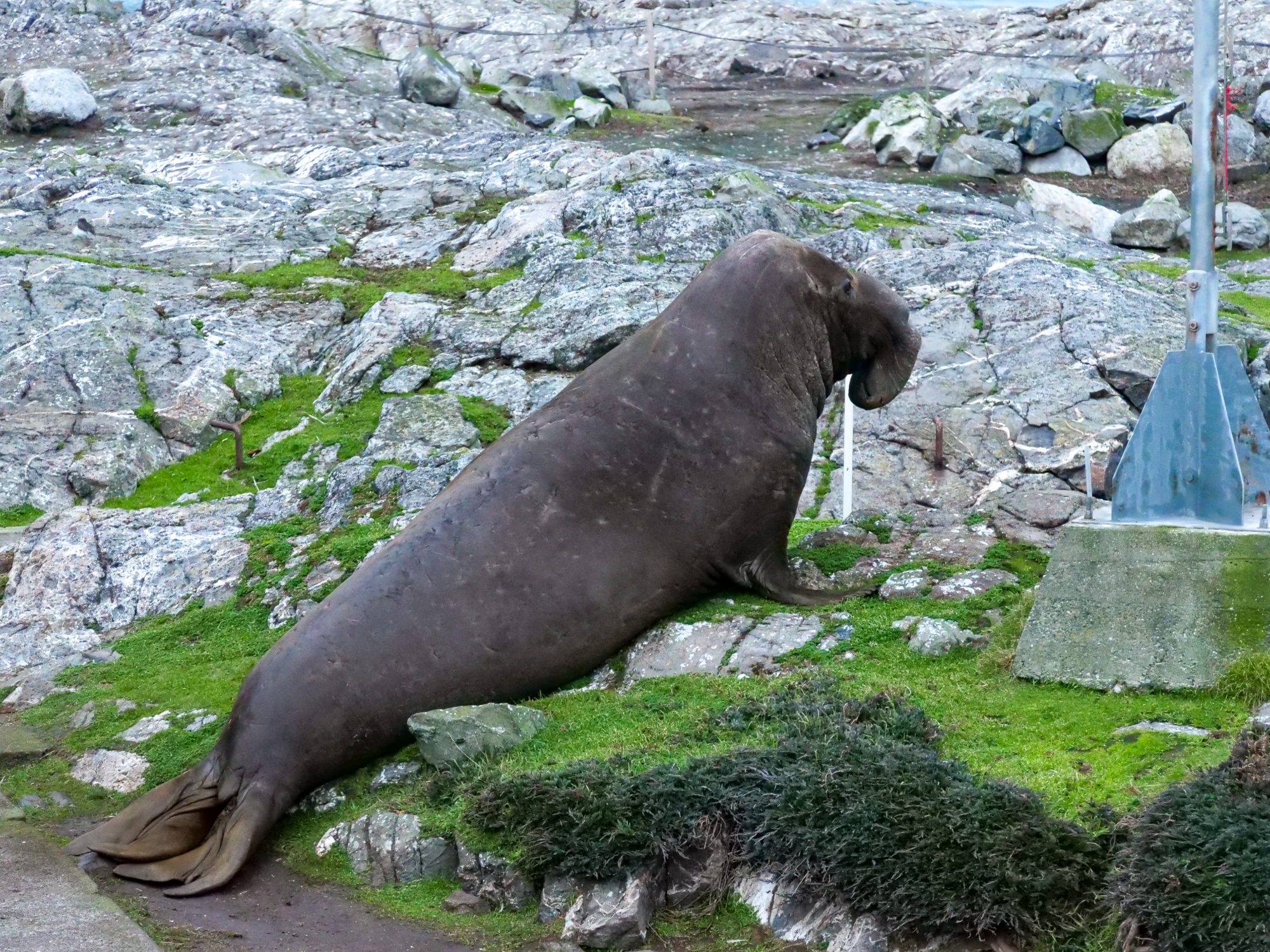
Bernard defending his harem. A sneaky male thought he could get up the boat ramp without he Beachmaster noticing. Silly rival, Bernard knows all the tricks.

I like including moments of peace, because that is what it is actually like here. Moments of extreme excitement, followed by naps and nursing.


Humpback Whales Feeding off Race Rocks

There has been 2 humpbacks hanging around the Becher Bay – Race Passage for the last couple of weeks. They have always been a little bit distant from the Lighthouse, but on December 30th 2020 they came right up to the SW corner of the lighthouse and did some feeding right at the current line. There’s lots of turbulence, so it could be some bubblenetting or lungefeeding. Really cool to see them use the crazy currents around Race Rocks to get a meal in.